Regional overview
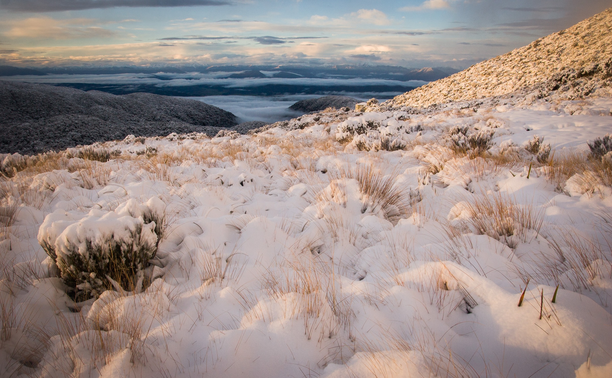
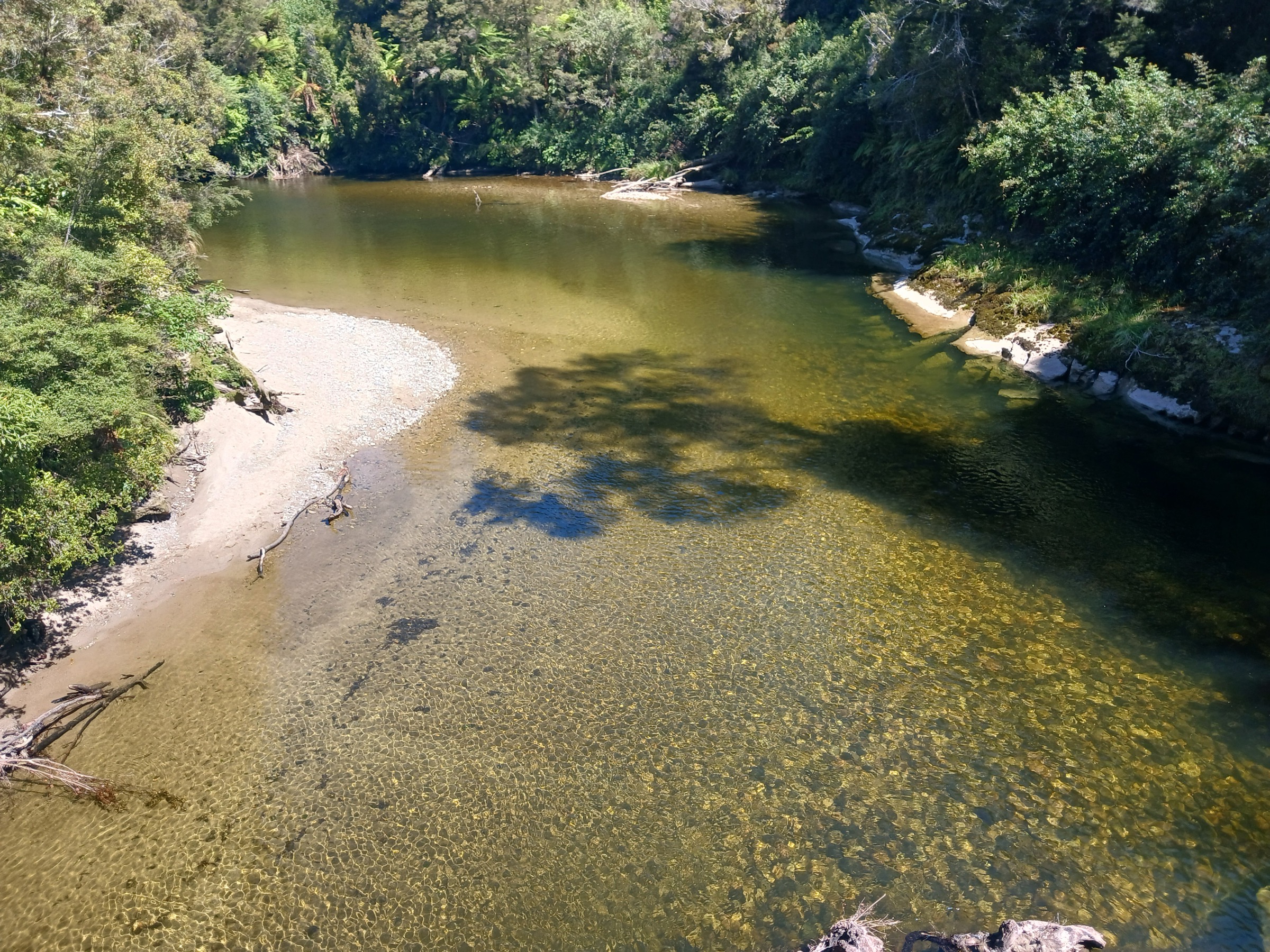
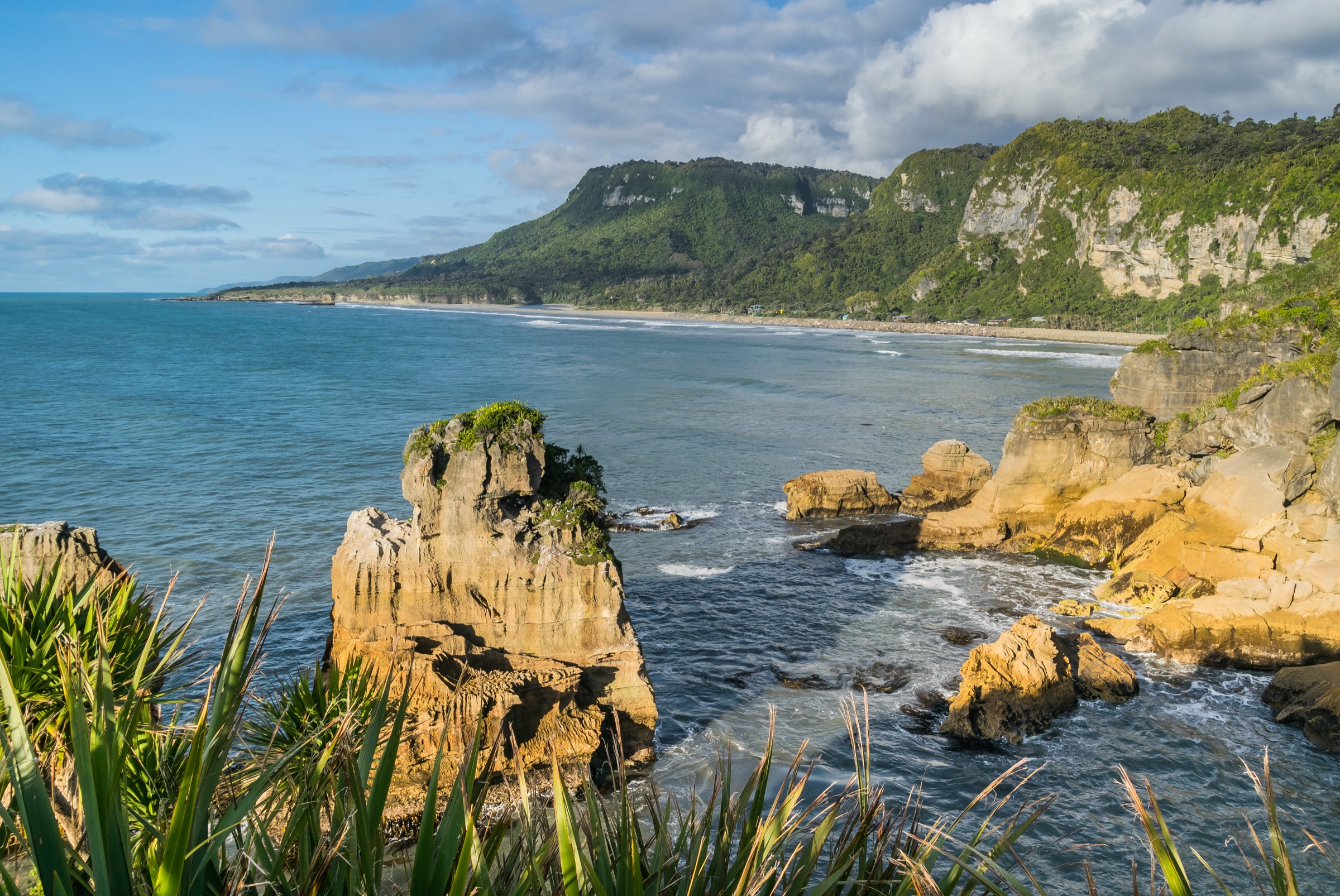
The Punakaiki Coast is the sea-edge and lower limestone side of Paparoa National Park, where subtropical coastal forest, nikau palms, river gorges, caves, blowholes, surge pools and pancake-stacked limestone sit within a few kilometres of State Highway 6. The main walking centre is Punakaiki, with nearby access at Dolomite Point, the Truman Track car park, Pororari River bridge, Waikori Road, Bullock Creek Road and Fox River.
The walking spectrum runs from a sealed, wheelchair-accessible loop at Pancake Rocks through a short coastal-forest out-and-back at Truman Track and a compact half-day forest-and-gorge loop on the Pororari, up to advanced tramping routes with unbridged river crossings at Fox River and Cave Creek. Two of the five entries here — Pancake Rocks and Truman Track — sit well below the usual 5 km catalogue target but are retained because they are the defining public walks for this part of the park.
The coast is weather-sensitive: DOC records rogue waves, slippery coastal rock, high-tide and south-westerly swell at blowholes, flood-prone roads, unbridged river crossings, rockfall, sinkholes, ongaonga, and rapidly rising rivers. Dogs are not allowed on the selected Paparoa National Park routes. DOC charges car-parking fees at Punakaiki Pancake Rocks, and drone use on public conservation land requires DOC authorisation.
Summary table
| # | Hike | Route type | Distance | Estimated time | Difficulty | Verification |
|---|---|---|---|---|---|---|
| 1 | Pancake Rocks and Blowholes Walk | Loop | DOC: 1.1 km | DOC: 30 min | Wheelchair-accessible short walk | Official route verified |
| 2 | Truman Track | Out-and-back | DOC: 1.4 km return | DOC: 30 min return | Easy short walk | Official route verified |
| 3 | Punakaiki–Pororari Loop | Loop | DOC PDF: 11 km | DOC PDF: 3 h | Walking track / moderate | Official route verified |
| 4 | Ballroom Overhang from Fox River | Out-and-back | DOC: 12 km return | DOC: 4 h return | Advanced tramping / expert | Official route verified |
| 5 | Cave Creek / Kotihotiho Track | Out-and-back | DOC PDF: 4 km return | DOC PDF: ~1 h 20 return | Conditions-sensitive walk / route | DOC PDF only in this pass |
Before you go
Access
All five walks share the SH6 corridor between the Paparoa National Park Visitor Centre at Punakaiki and Fox River to the north. Pancake Rocks, Truman Track and the Pororari loop are on-highway trailheads with sealed parking; Cave Creek is reached from the flood-prone gravel of Bullock Creek Road; Ballroom Overhang begins at the Fox River mouth car park. Intercity buses run this coast, but their suitability for individual trailheads has not been verified.
Standard kit
- Sealed circuits at Pancake Rocks: walking shoes, wind or rain layer, water, sun protection.
- Coastal forest at Truman Track: as above, plus care around the SH6 crossing and any low-tide beach exploration.
- Pororari loop: walking or light tramping shoes, waterproof shell, food, water, map or GPS, insect repellent.
- Fox River / Cave Creek: full tramping kit — boots, waterproof and warm layers, map and GPS, head torch, first aid, conservative river-crossing plan and PLB recommended.
Common hazards
- Blowholes and surge pools are lethal in the wrong swell — stay on formed paths and behind barriers at Dolomite Point.
- The Truman Track beach is only accessible at low tide; coastal overhangs are unstable and swimming is unsafe.
- The Fox River rises rapidly and can turn crossings dangerous within an hour of rain.
- The Cave Creek gorge can become a torrent in heavy rain — DOC’s rule is not to enter the creekbed while it is raining.
- Bullock Creek Road is flood-prone and can be washed out.
- Dogs are not permitted on any of the routes below.
1. Pancake Rocks and Blowholes Walk
Snapshot
Itinerary
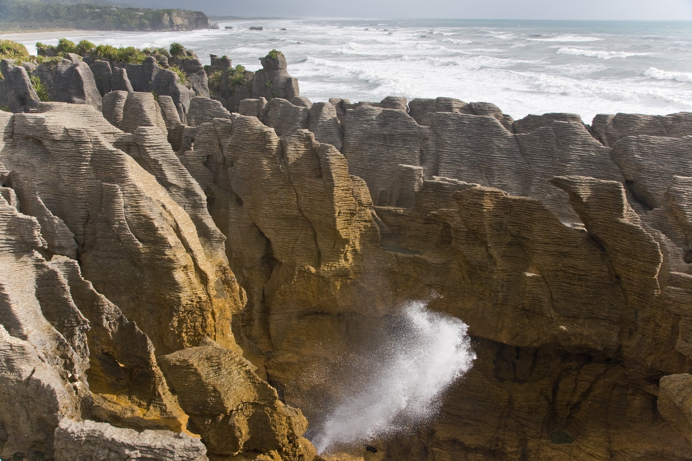
The paved loop explores Dolomite Point’s limestone formations, blowholes, surge pools, coastal forest and sea-edge viewpoints. The main circuit is suitable for wheelchairs with assistance except for an optional stepped section, and it starts and finishes at the Punakaiki Pancake Rocks car park.
Why it is essential
The iconic Punakaiki walk and the most famous expression of Paparoa’s coastal limestone: pancake-like rock stacks, blowholes, surge pools and Tasman Sea viewpoints in a single short public circuit.
Hazards and notes
- Stay on the formed path, do not climb on the rocks and do not go beyond safety barriers.
- Blowholes, surge pools and sudden wave action are lethal.
- Watch children closely where the return track emerges near the highway.
- DOC charges car-parking fees at Punakaiki Pancake Rocks.
GPX / KML links
| Source | URL | Format | Notes |
|---|---|---|---|
| DOC — Pancake Rocks and Blowholes Walk | doc.govt.nz | Official route page | DOC website terms; no GPX published |
| DOC — Punakaiki walks PDF | doc.govt.nz | Official brochure | DOC website terms |
| AllTrails cross-check | alltrails.com | Third-party route page | Secondary statistics only |
Further reading
2. Truman Track
Snapshot
Itinerary
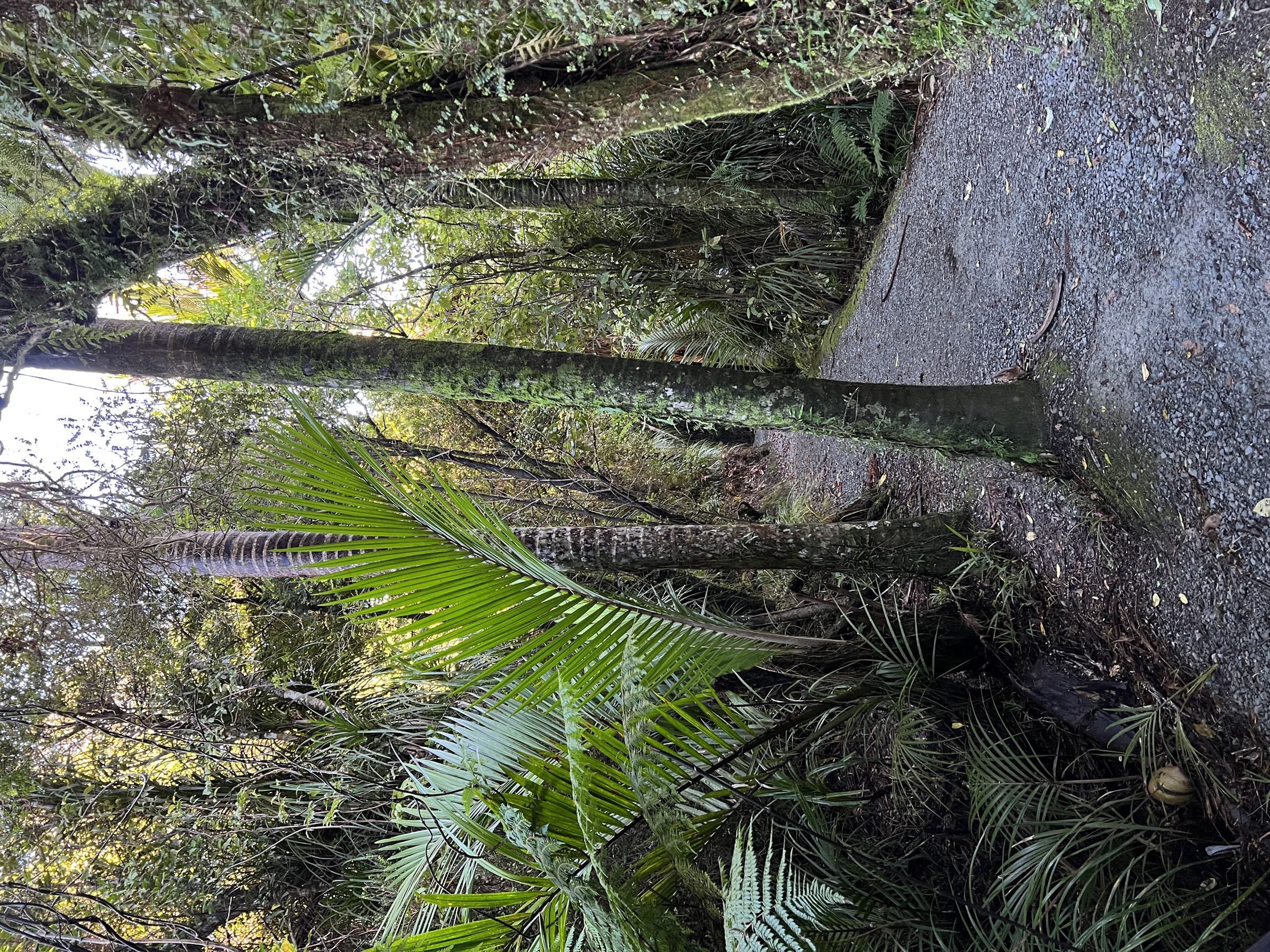
Cross SH6 from the car park and follow the track through coastal forest to sea cliffs, overhangs, caverns, a small waterfall and beach viewpoints, then return by the same track.
Why it is essential
The compact coastal-forest and limestone-shore walk north of Punakaiki, adding a wilder beach and cliff-edge to the paved Pancake Rocks circuit.
Hazards and notes
- The beach is accessible only at low tide, and coastal overhangs are unstable.
- Swimming is unsafe because of strong currents and rogue waves.
- SH6 must be crossed carefully in a 100 km/h zone.
- Dogs are not allowed.
GPX / KML links
| Source | URL | Format | Notes |
|---|---|---|---|
| DOC — Truman Track | doc.govt.nz | Official route page | DOC website terms; no GPX published |
| OpenStreetMap way 49673408 | openstreetmap.org | OSM source geometry | ODbL; attribution required |
| AllTrails cross-check | alltrails.com | Third-party route page | Secondary statistics only |
Further reading
3. Punakaiki–Pororari Loop
Snapshot
Itinerary
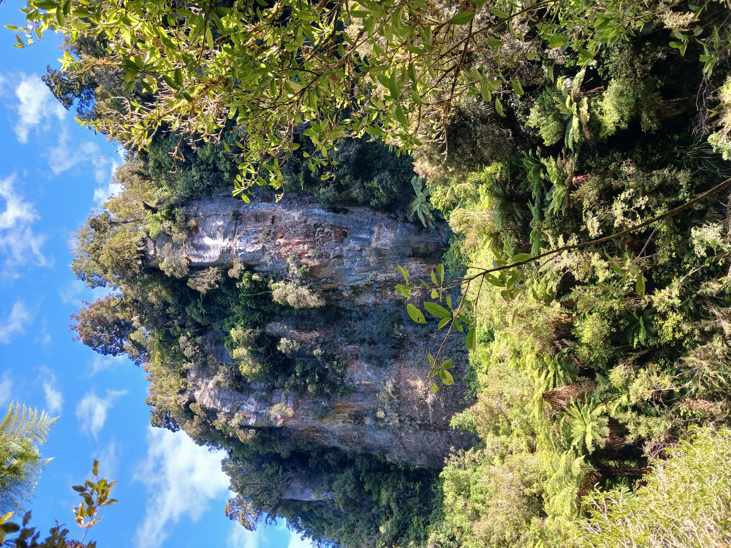
From Punakaiki, use the Waikori Road / Punakaiki River access to join the southern Inland Pack Track. The route climbs through mature rainforest over the low divide between the Punakaiki and Pororari valleys, links into the Paparoa Track / Pororari River Track corridor, then descends the Pororari River gorge before returning to Punakaiki along the coast road and footpath.
Why it is essential
The main compact half-day loop in the Punakaiki walking network — it links forested Inland Pack Track history with the Pororari gorge and gives a more substantial walk than the short coast circuits.
Hazards and notes
- Heavy rain can make streams and low points hazardous.
- The return section uses SH6 near Punakaiki; traffic awareness required.
- Dogs are not allowed on the national park sections.
GPX / KML links
| Source | URL | Format | Notes |
|---|---|---|---|
| DOC — Punakaiki walks PDF | doc.govt.nz | Official PDF map | DOC website terms; no GPX published |
| DOC — Pororari River Track | doc.govt.nz | Official route page | DOC website terms |
| AllTrails cross-check | alltrails.com | Third-party route page | Secondary statistics only |
Further reading
4. Ballroom Overhang from Fox River
Snapshot
Itinerary
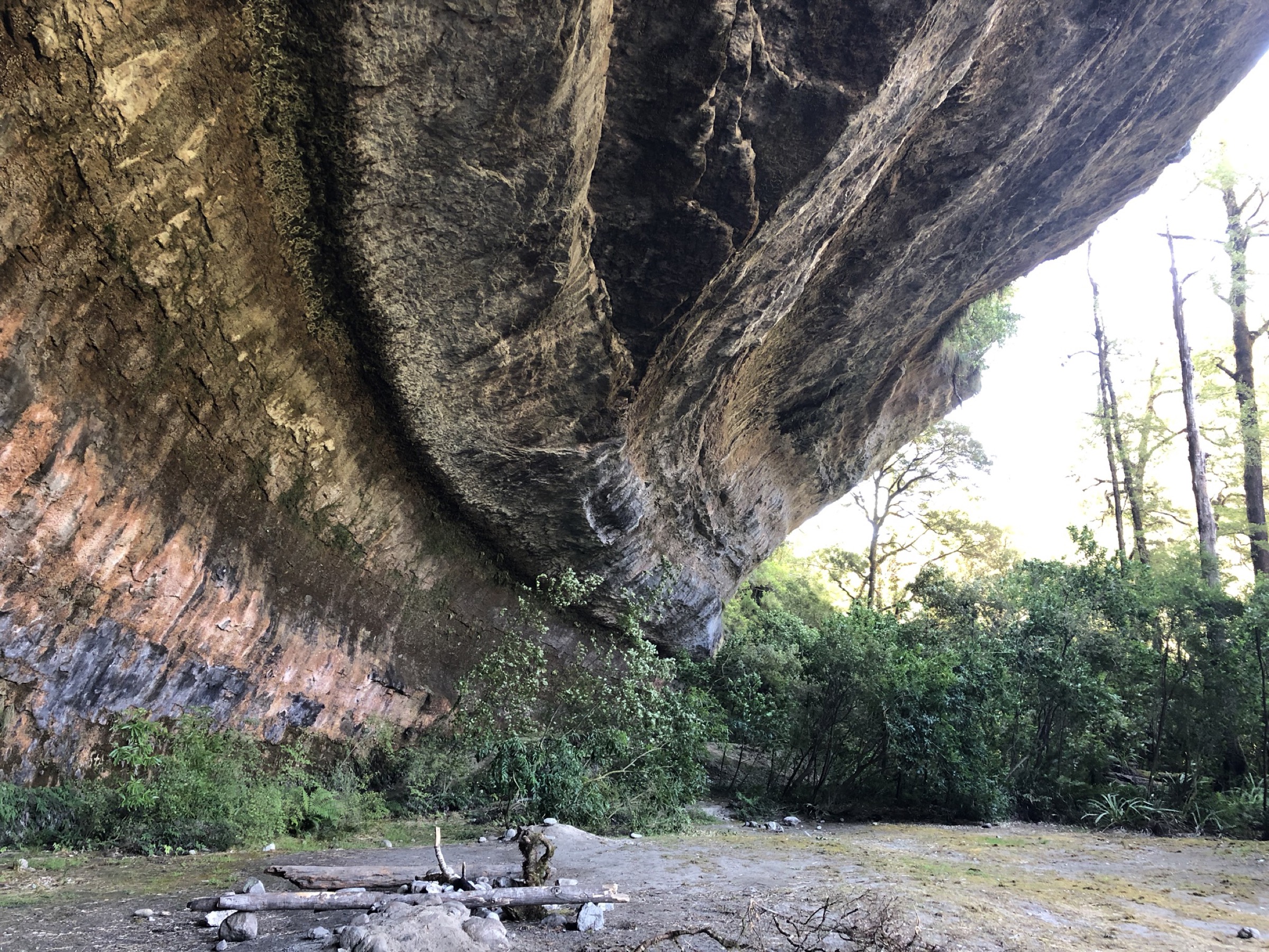
From the Fox River mouth car park, follow the Inland Pack Track upstream into limestone gorge country. The route involves multiple unbridged Fox River crossings and, after track and route sections near the Fox River / Dilemma Creek confluence, follows river-bed terrain for about 500 m to the large Ballroom Overhang. Return the same way.
Why it is essential
Ballroom Overhang is the classic limestone shelter of the northern Punakaiki side of the park. It brings a genuinely backcountry karst route into the day-hike catalogue rather than more short coastal walks.
Hazards and notes
- The Fox River rises rapidly; crossings can become dangerous within an hour of rain.
- A damaged track section uses a marked diversion — follow signage rather than the old line.
- Sinkholes, karst terrain, slippery rock, ongaonga and flood-prone access are all in play.
- DOC treats this as an experienced-tramper route with navigation and river-crossing skills required.
GPX / KML links
| Source | URL | Format | Notes |
|---|---|---|---|
| DOC — Ballroom Overhang Track | doc.govt.nz | Official route page | DOC website terms; no GPX published |
| DOC — Punakaiki walks PDF | doc.govt.nz | Official brochure | DOC website terms |
| AllTrails cross-check | alltrails.com | Third-party route page | Secondary statistics only |
Further reading
5. Cave Creek / Kotihotiho Track
Snapshot
Itinerary
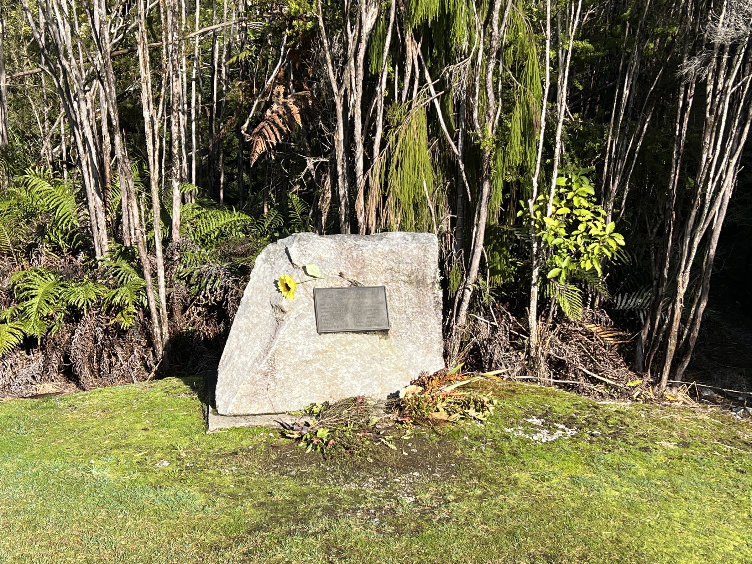
From the Bullock Creek Road car park, the DOC Punakaiki brochure describes a short walk to the memorial, then a left turn onto the signposted Cave Creek route. The track descends into the gorge and follows the usually dry, bouldery creekbed toward Cave Creek / Kotihotiho, returning the same way.
Why it is essential
Cave Creek / Kotihotiho is a key Punakaiki karst and memorial landscape — it holds the site of the 1995 Cave Creek disaster and complements the coastal formations and river-gorge walks with a resurgence-and-cave setting inland.
Hazards and notes
- The gorge can become a torrent during or after heavy rain; DOC’s rule is not to enter the creekbed while it is raining.
- Bullock Creek Road is gravel, flood-prone and can be affected by washouts.
- DOC PDF figures should be treated as the current official brochure statistics; no separate current DOC route page was found in this pass.
GPX / KML links
| Source | URL | Format | Notes |
|---|---|---|---|
| DOC — Punakaiki walks PDF | doc.govt.nz | Official brochure | DOC website terms; no GPX published |
| AllTrails cross-check | alltrails.com | Third-party route page | Secondary statistics only |
Further reading
Verification notes
- Entries 1–4 are verified against dedicated DOC route pages; entry 5 is verified against the DOC Punakaiki walks brochure only — no separate current DOC route page was located in this pass.
- DOC does not publish elevation gain, loss or maximum elevation for any of the five routes; gain values shown come from AllTrails as secondary estimates.
- No official DOC GPX or KML downloads were located for these routes in this pass. Route geometry should be redrawn from OSM or DOC’s embedded maps rather than reused from third-party sources.
- Public-transport suitability to individual trailheads was not verified; Intercity coach service runs the SH6 corridor but stop and timing detail should be confirmed before travel.
- Entries 1 and 2 sit well below the usual 5 km catalogue floor and are retained because they are the defining public walks for the Punakaiki Coast rather than because they represent a full walking day.
Further reading
| Source | URL |
|---|---|
| DOC — Paparoa National Park | doc.govt.nz |
| DOC — Pancake Rocks and Blowholes Walk | doc.govt.nz |
| DOC — Truman Track | doc.govt.nz |
| DOC — Pororari River Track | doc.govt.nz |
| DOC — Ballroom Overhang Track | doc.govt.nz |
| DOC — Punakaiki walks PDF | doc.govt.nz |
| Wikipedia — Paparoa National Park | en.wikipedia.org |