Regional overview
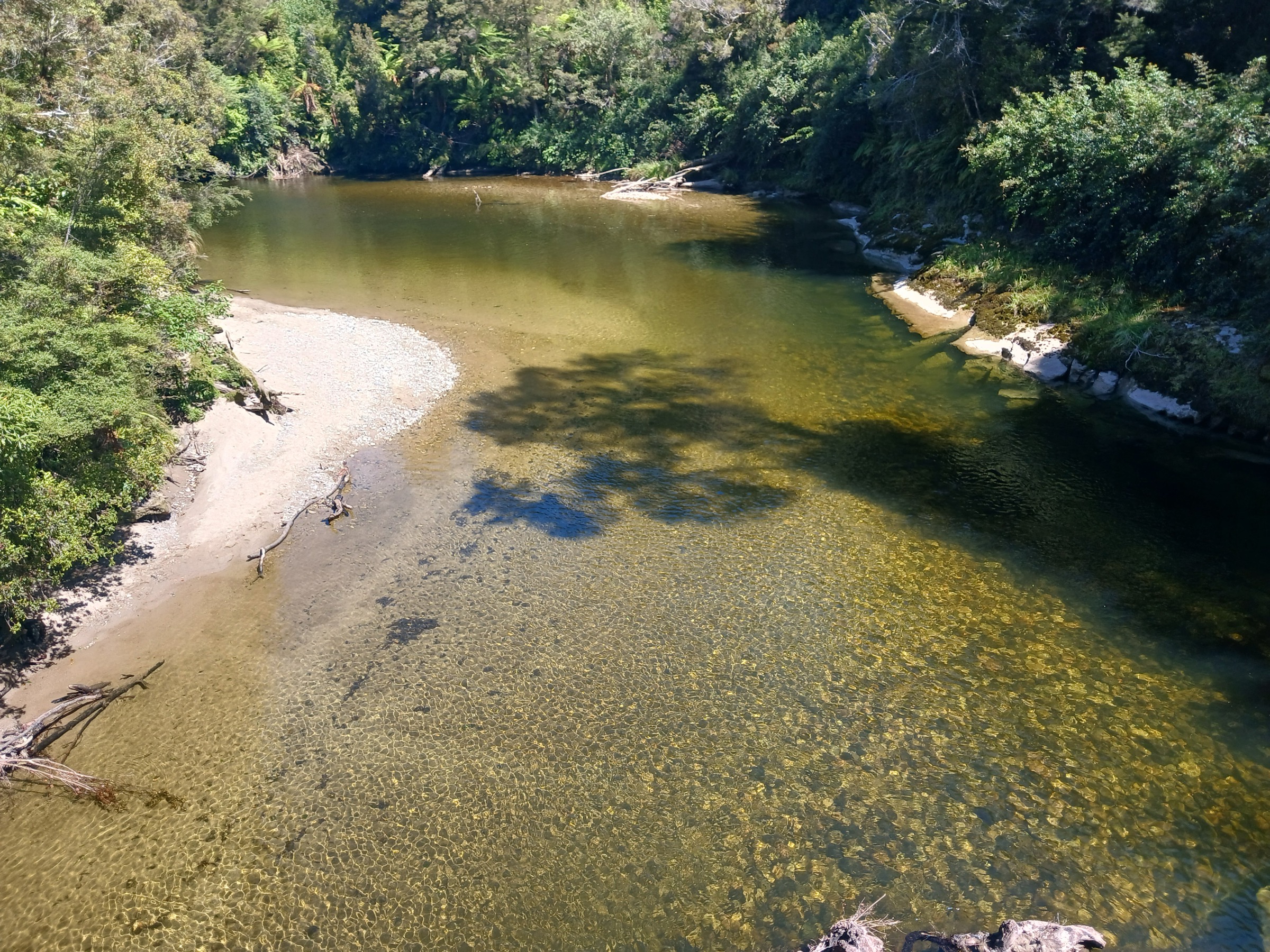
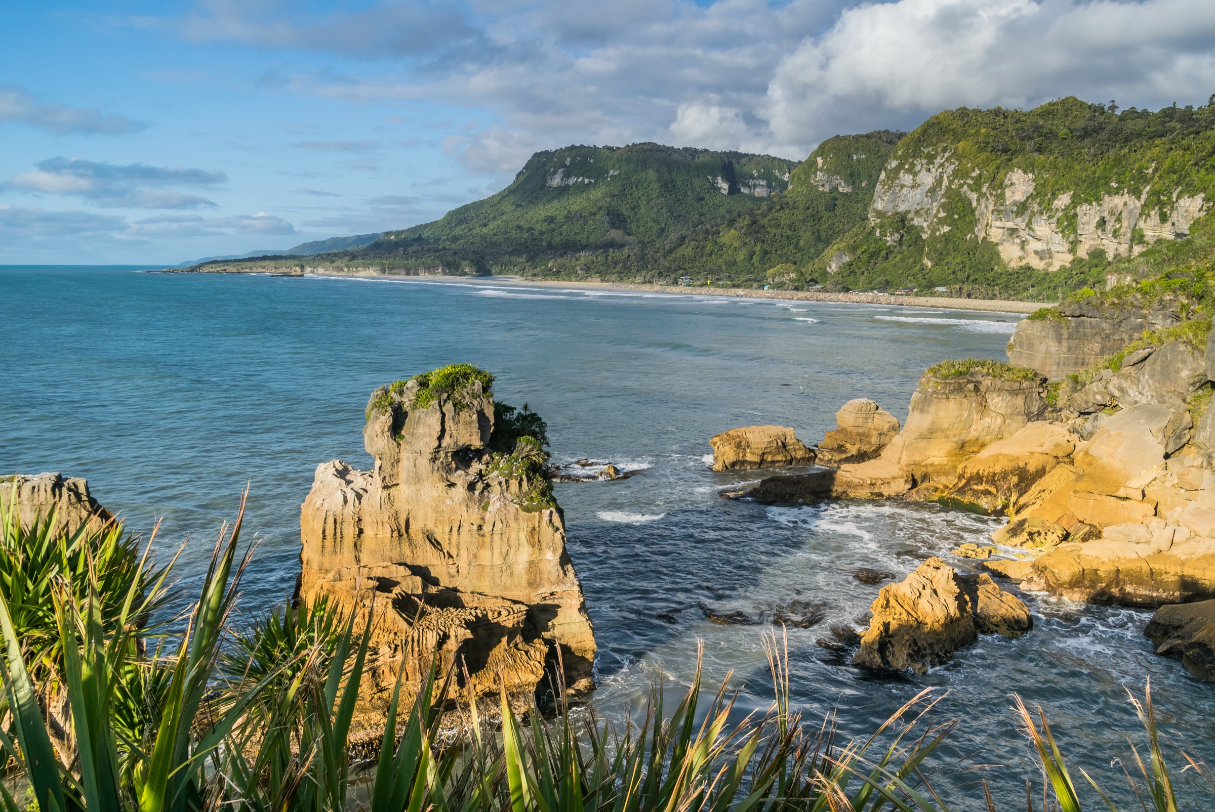
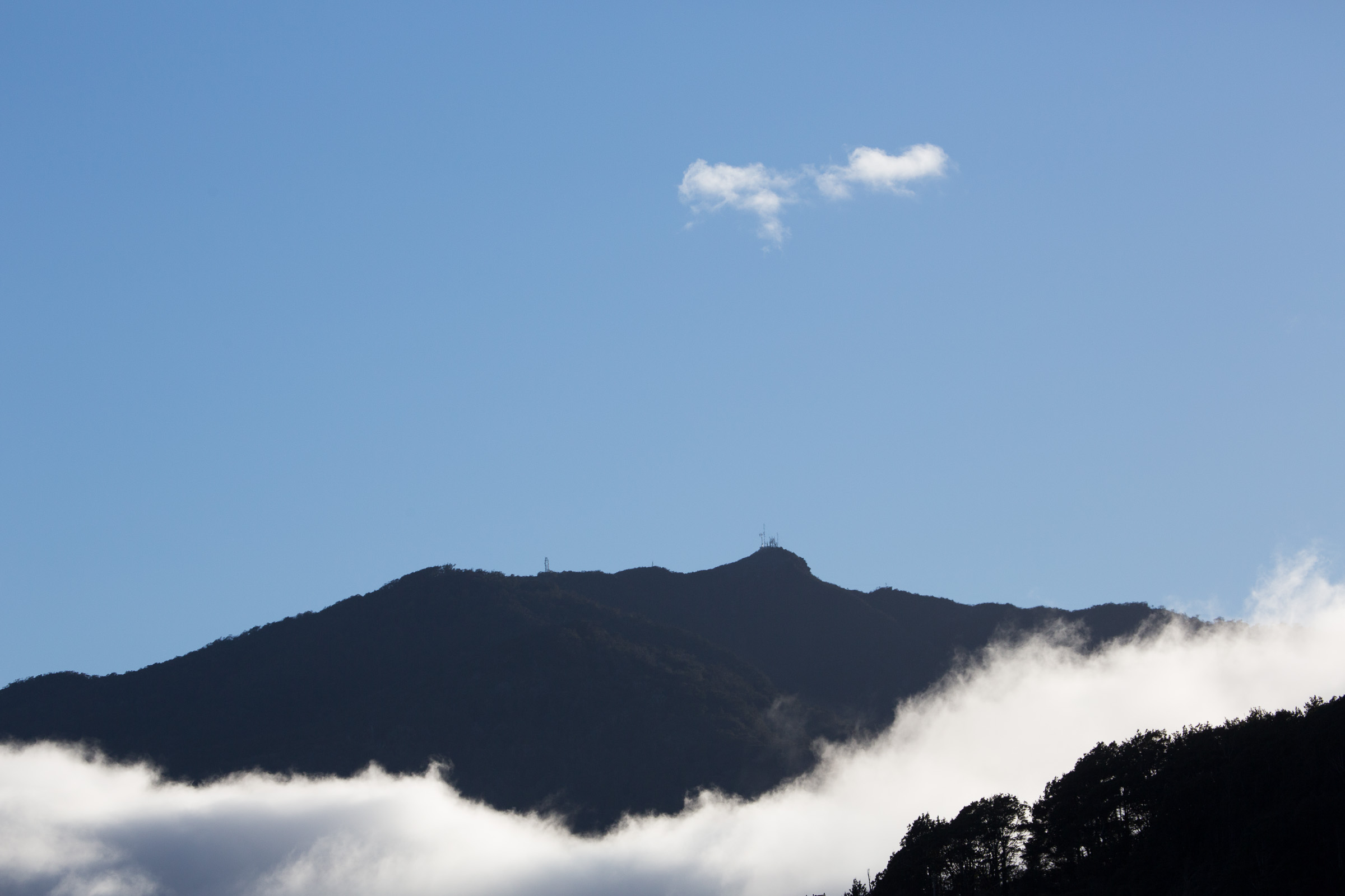
The Croesus Area is the historic pack-track and gold-mining side of the Paparoa Range, running between Blackball / Smoke-ho on the Grey Valley side and Barrytown on the Tasman coast. The landscape moves from podocarp and beech forest into low alpine scrub, exposed tops with Southern Alps and Tasman Sea views, and — throughout — the physical residue of the late-19th-century Croesus gold rush: swing bridges, water races, restored miners’ huts, stamper-battery remains and the Croesus and Ces Clark hut sites.
Three access corridors matter. Smoke-ho car park near Blackball is the eastern trailhead for the Croesus Track and the standard start for Ces Clark Hut, Croesus Knob and Garden Gully day objectives. Barrytown Road end on the western side gives the traverse finish. Andersons Flat / Moonlight Valley is the trailhead for the Moonlight Pack Track, which historically fed the same goldfield from the south. No public transport reaches any of the three trailheads. Traverse parties either car-shuffle or arrange a private shuttle between Smoke-ho and Barrytown.
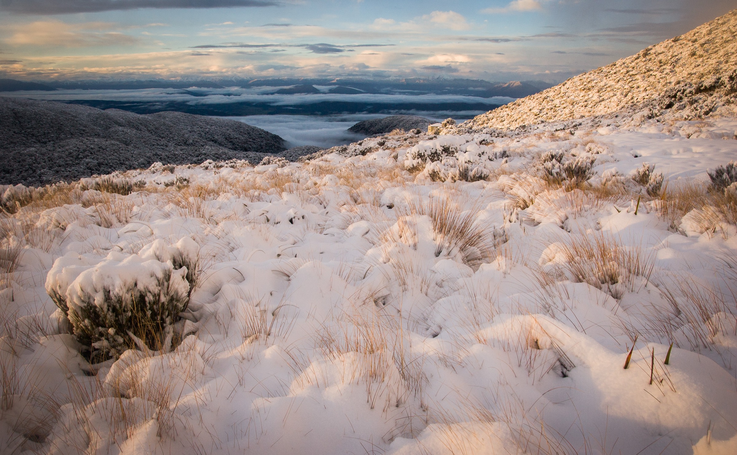
DOC classifies the Croesus Track as an advanced tramping track and notes changeable mountain weather, possible snow at any time of year and poor visibility on the tops. Snow poles mark the exposed section, but navigation can still become difficult in mist and high wind, and escape options are limited once the track is above the bushline. Dogs are not allowed on the conservation land these routes cross unless an official exemption applies.
Two data limitations shape this entry. First, DOC does not publish elevation gain, elevation loss or hut-elevation figures for the Croesus Track segments in the pages checked; distances and times come directly from the DOC Croesus Track page and the Croesus/Moonlight map PDF, and the only elevation datum DOC gives for the tops is the 1,204 m Croesus Knob spot height. Second, the Moonlight Pack Track sits on the southern fringe of the Croesus corridor and also features in the sibling Southern Paparoa entry as the range’s southern historic approach; it is presented here as the fifth Croesus-area objective because the research corridor overlap is unavoidable in this compact area.
Selection rationale
The five selections represent the Croesus area’s essential day-walk spectrum. The Croesus Track traverse is the classic historic point-to-point across the range. Smoke-ho to Ces Clark Hut is the practical full-day objective from the Blackball side without a shuttle. Croesus Knob adds the sector’s highest summit-style side route to the Ces Clark day. Garden Gully is the strongest mining-heritage side trip on the Croesus Track, kept as a candidate objective while full-day statistics are unresolved. Moonlight Pack Track rounds out the set as the southern historic approach to the Paparoa tops.
Summary
| # | Hike | Trailhead | Route type | Distance | Gain | Difficulty |
|---|---|---|---|---|---|---|
| 1 | Croesus Track Traverse (Smoke-ho to Barrytown) | Smoke-ho car park, near Blackball | Point-to-point | 22.2 km | Not published | Hard |
| 2 | Smoke-ho to Ces Clark Hut | Smoke-ho car park | Out-and-back | 20.6 km return | Not published | Hard |
| 3 | Croesus Knob from Smoke-ho via Ces Clark Hut | Smoke-ho car park | Out-and-back with side route | 20.6 km + Knob side route | Not published | Hard |
| 4 | Garden Gully Historic Battery and Hut | Smoke-ho car park | Out-and-back with side trip | Full-day distance unresolved; side trip 45 min return | Not published | Hard |
| 5 | Moonlight Pack Track to Paparoa Tops | Andersons Flat, Moonlight Valley | Out-and-back | 13 km return | Not published | Moderate–Hard |
1. Croesus Track Traverse: Smoke-ho to Barrytown
Snapshot
Itinerary
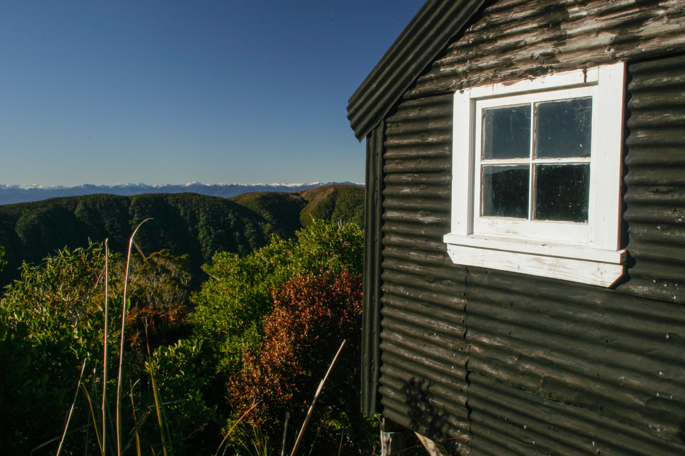
From Smoke-ho, the historic Croesus Track climbs through forest and mining-era remains — old water races, hut sites and stamper-battery debris — to Ces Clark Hut on the open scrub / bushline margin at the eastern top of the range. The western half crosses the exposed tops on a snow-poled line before descending long through beech forest to Barrytown Road end on the Tasman side. Views on the tops open west across the sea and east back over the Grey Valley to the Southern Alps.
Why it is essential
This is the classic Croesus route — a historic miners’ pack track that crosses the Paparoa Range from the Grey Valley to the coast in a single long day, tying together the sector’s forest, mining heritage and tops landscapes.
Equipment
- Tramping boots
- Waterproof shell, warm mid-layer and spare warm layer
- Warm hat and gloves outside midsummer
- Map, compass and offline GPS
- Headlamp with spare batteries — long day, headlamp finish possible
- 2.5–3 L water and food for a long day
- Personal Locator Beacon
- First-aid kit
Hazards and notes
- Weather-sensitive traverse — snow, mist and high wind on the tops can make the poled section serious
- Limited escape options once above the bushline; Ces Clark Hut and Croesus Top Hut are the principal shelters
- Car shuffle or shuttle needed between Smoke-ho and Barrytown
- Dogs are not allowed on the track
- Check DOC alerts for current track conditions
2. Smoke-ho to Ces Clark Hut
Snapshot
Itinerary
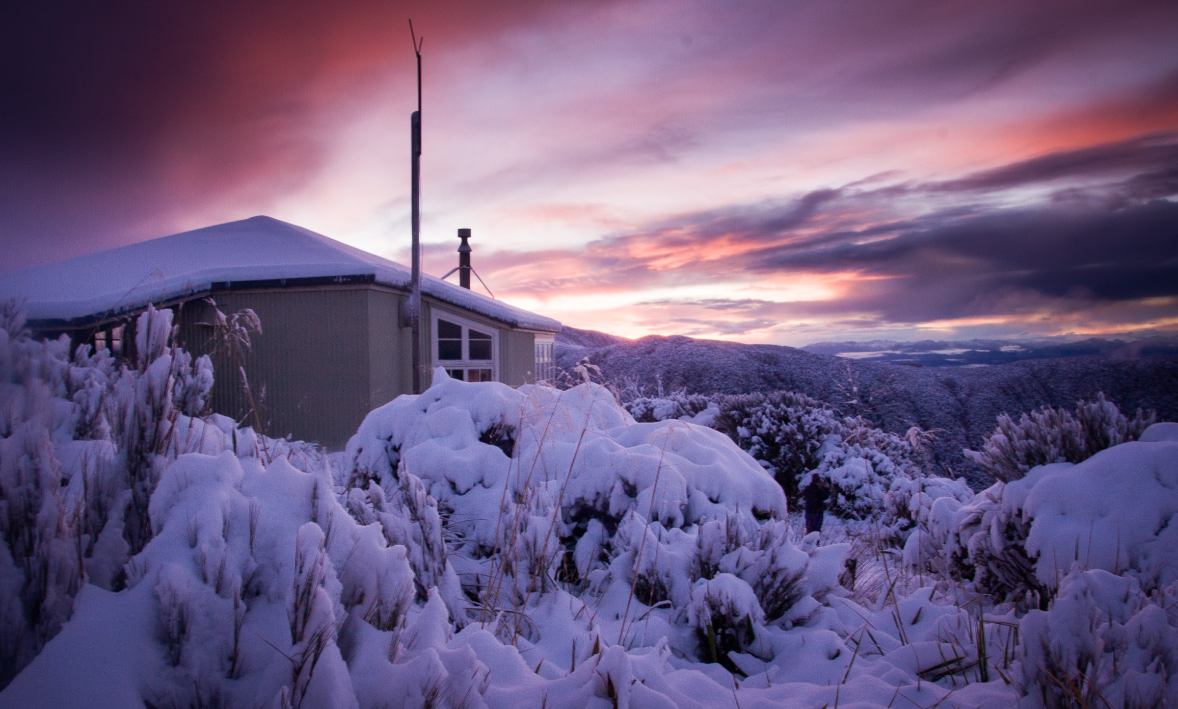
The route climbs from Smoke-ho through forest, past mining relics and old hut sites on the historic pack track to Ces Clark Hut on the open scrub / bushline margin. Return by the same track.
Why it is essential
This is the most practical full-day Croesus Track objective from the Grey Valley side without arranging a traverse shuttle, reaching the classic hut and the upper-track landscape as an out-and-back.
Equipment
- Sturdy tramping boots
- Waterproof shell, warm layer
- Map, compass and offline GPS
- Headlamp with spare batteries
- 2 L water and food
- Personal Locator Beacon
Hazards and notes
- Long return distance on wet track surfaces
- Exposed upper terrain and fast weather changes can make the day more serious than the distance alone suggests
- Dogs are not allowed
- Check DOC alerts before departure
3. Croesus Knob from Smoke-ho via Ces Clark Hut
Snapshot
Itinerary
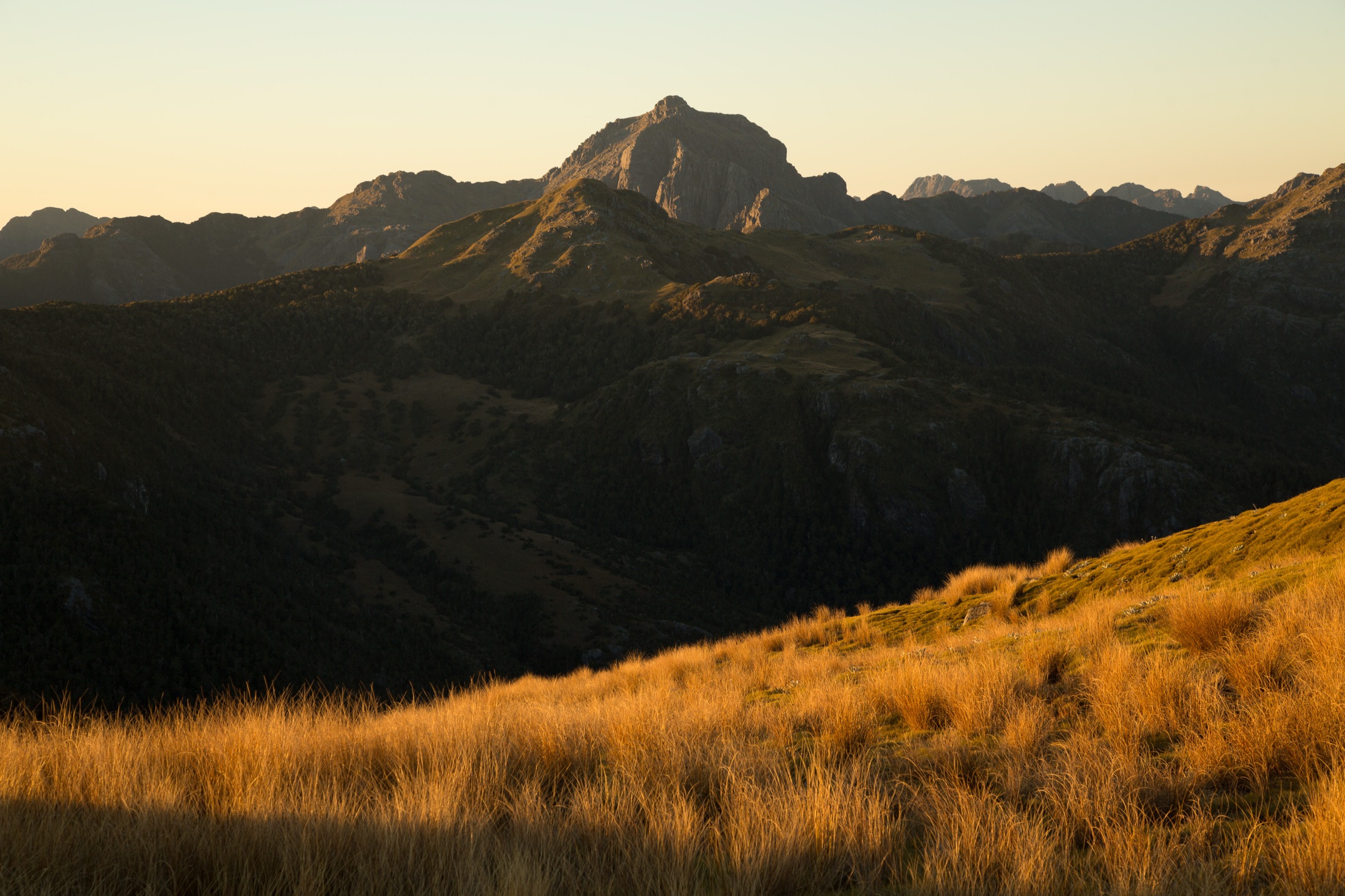
Follow the Croesus Track from Smoke-ho to Ces Clark Hut. About 30 minutes beyond the hut on the main track, the Croesus Knob side route branches off to the 1,204 m summit. Return the same way.
Why it is essential
Croesus Knob gives the sector’s clearest summit-style day objective, adding a high viewpoint over the tops and coast to the historic track-and-hut day out.
Equipment
- Tramping boots
- Waterproof shell, warm layer and spare warm layer
- Map, compass and offline GPS
- Headlamp with spare batteries
- 2.5 L water and food
- Personal Locator Beacon
- Trekking poles are useful on the long descent
Hazards and notes
- Side route is rougher than the main track — expect looser ground and less-defined tread above the poles
- Exposure, poor visibility, snow or strong wind can make the upper section unsuitable
- Side-route distance was not published by DOC in the checked source; plan by time budget rather than distance
- Dogs are not allowed
4. Garden Gully Historic Battery and Hut
Snapshot
Itinerary
Follow the Croesus Track from Smoke-ho to the Garden Gully side-track junction. The side trip leads to the historic stamper-battery remains and Garden Gully hut site, then returns to the main track and back to Smoke-ho.
Why it is essential
Garden Gully is the strongest historic-mining side trip on the Croesus Track, packing the sector’s most tangible gold-era relics into a short branch off the main pack route. It is presented here as a candidate objective while the full-day approach distance and time remain to be verified against a measured route source.
Equipment
- Sturdy tramping boots
- Waterproof shell, warm layer
- Map, compass and offline GPS
- Headlamp with spare batteries
- 2 L water and food
Hazards and notes
- Old mining structures can be unstable — shafts, tailings and stamper remains are historic and not maintained for climbing on
- Slippery surfaces around water races and battery ground after rain
- Stay on marked tracks — leave relics undisturbed
- Full-day distance and time were not verified from DOC in this pass; plan conservatively
5. Moonlight Pack Track to Paparoa Tops
Snapshot
Itinerary
From Andersons Flat, the historic Moonlight Pack Track follows regenerating forest, swing bridges, gold-mining remains and beech–hardwood transition forest before the rougher, steeper final climb to the Paparoa tops and the Meikles Hut area. Return by the same track.
Why it is essential
Moonlight is the Croesus area’s southern historic approach — a shorter, less-committed way to reach the Paparoa tops than the full Croesus Track, on a pack-route line built to feed the same goldfield from the south. It also appears in the sibling Southern Paparoa entry as that sector’s historic pack-track day route; the corridor is shared.
Equipment
- Sturdy walking shoes or light tramping boots
- Waterproof shell, warm layer
- Map, compass and offline GPS
- Headlamp with spare batteries
- 2 L water and food
- Personal Locator Beacon for the upper section
Hazards and notes
- Rougher and steeper final section to the tops
- Historic huts on the route are derelict — not accommodation
- Streams can rise after West Coast rain
- Dogs are not allowed
- Check DOC alerts before departure
Missing data / follow-up work
- No official GPX or KML downloads for the Croesus Track or Moonlight Pack Track were found in this pass.
- DOC does not publish elevation gain, loss or hut elevations for the Croesus Track segments in the checked source; the only tops-elevation datum is the 1,204 m Croesus Knob spot height.
- Garden Gully full-day approach distance and time need OSM, GPX or measured-geometry verification before publication as a fully resolved objective.
- Croesus Knob side-route distance is unresolved in the DOC page checked; only a 1 h 10 min return time is given.
- DOC-hosted Creative Commons images for the Croesus Track and Moonlight Pack Track appear to be CC BY-NC 4.0, so they are not licence-compatible for this catalogue and are not used here; commercially reusable imagery is drawn from Wikimedia Commons where available.
Further reading
| Resource | Link |
|---|---|
| DOC — Croesus Track | doc.govt.nz |
| DOC — Moonlight Pack Track | doc.govt.nz |
| DOC — Croesus / Moonlight map (PDF) | doc.govt.nz |
| DOC — Southern Paparoa Range place page | doc.govt.nz |
| MetService — West Coast / Buller regional forecast | metservice.com |
| Wikipedia — Paparoa Range | en.wikipedia.org |
| Wikimedia Commons — Paparoa National Park | commons.wikimedia.org |