Regional overview
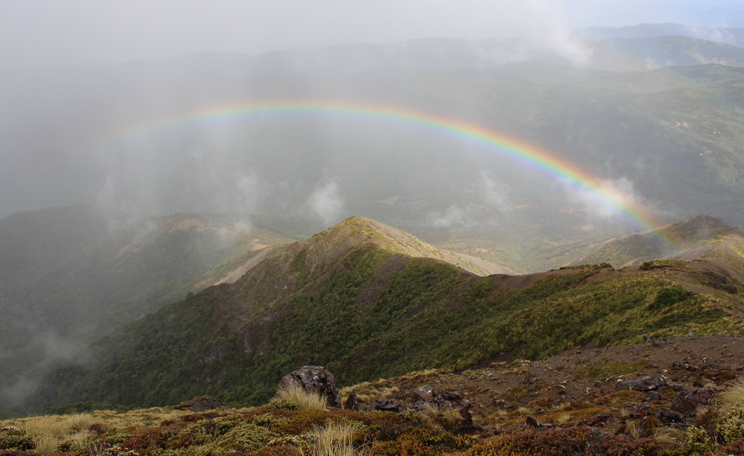
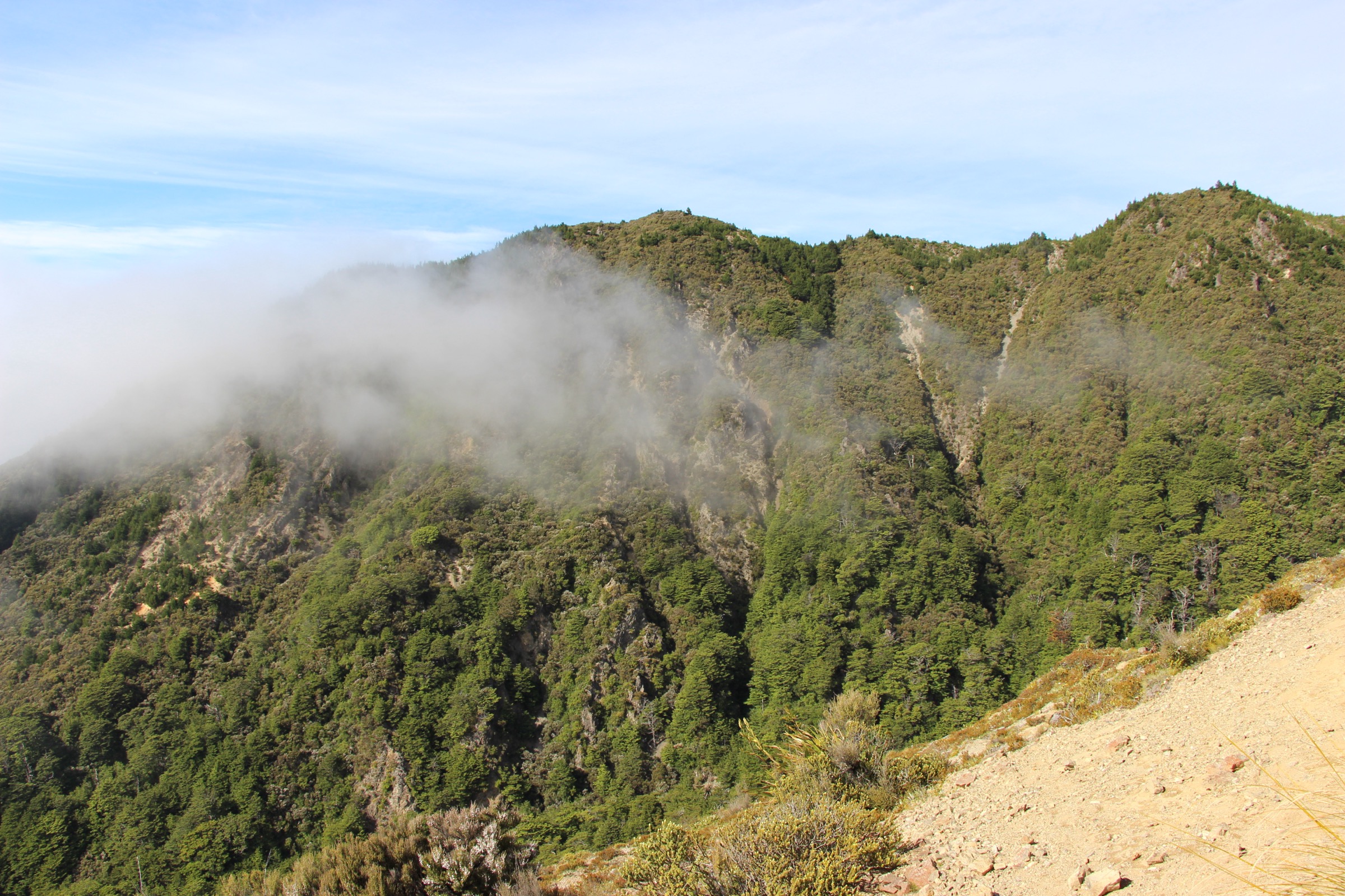
The southern Kaweka Range is the Hawke’s Bay-facing end of Kaweka Forest Park, sitting between the Ngaruroro River to the west and the Taihape–Napier Road (Gentle Annie) to the south. Access clusters around a handful of unsealed corridors: Kuripapango and the Cameron car park for the southern trig climb, the Lakes car park off Kuripapango Road for Kaweka Lakes, Lawrence Road for the western hut country toward Mackintosh Plateau, and Mackintosh / Kiwi Saddle approaches for the long southern circuit. Trailheads are 60–90 minutes’ drive from Napier, and none has public transport.
The walking character at this end of the range is steep bush-to-ridge climbing, manuka and beech forest, exposed southern tops and river-valley hut approaches — not built tourist trails. Several classic southern Kaweka routes are hut approaches or long circuits rather than short walks, and DOC’s own signage grades them accordingly. Weather changes fast on the tops, cold southerly weather can bring visibility down within an hour, and cloud can sit on the ridge for days. Road access is the second planning constraint: Kuripapango Road, Lakes car park access and Lawrence Road are all unsealed and prone to closure after heavy rain, and DOC has removed the Lawrence swing bridge — check the Kaweka Forest Park alerts page before driving in.
Documentation for the routes below is partial. DOC publishes hut and access pages but does not publish GPX tracks; distances and elevation figures in this catalogue draw on AllTrails route data and, where available, OpenStreetMap way geometry. Snapshot fields note the source in each entry. A Personal Locator Beacon, downloaded offline base map and outside-party plan are standard for the Kiwi Saddle circuit and the Lawrence Road approach in particular.
Selection rationale
Five day-scale routes are presented across the southern Kaweka: the Cameron Car Park to Kuripapango Trig climb as the southern gateway viewpoint, the Kaweka Lakes Track as the short lake objective, the Kiwi Saddle Loop via Kiwi Saddle Hut as the long southern ridge circuit, the Lawrence Roadend to Mackintosh Hut approach as the river-valley hut day, and the Tui Loop Track as the short forest option from the Lawrence Road side. The set is built around the main access corridors rather than length — a steep trig climb, a short lake walk, a long ridge loop, a hut approach and a short forest loop. Multi-day traverses to the main Kaweka tops, the full range crossing and the northern Kaweka hut network sit outside this day-hike entry.
Summary
| # | Hike | Trailhead | Route type | Distance | Gain | Max elevation | Difficulty |
|---|---|---|---|---|---|---|---|
| 1 | Cameron Car Park to Kuripapango Trig | Cameron car park, Kuripapango Road | Out-and-back | 8.4 km | 776 m | 1,212 m | Hard |
| 2 | Kaweka Lakes Track | Lakes car park, off Kuripapango Road | Out-and-back | 3.7 km | 139 m | 736 m | Moderate |
| 3 | Kiwi Saddle Loop via Kiwi Saddle Hut | Cameron / Lakes southern access | Loop | 18.7 km | 1,402 m | 1,480 m | Hard |
| 4 | Lawrence Roadend to Mackintosh Hut | Lawrence Shelter, Lawrence Road | Point-to-point | 8.2 km | 644 m | 936 m | Hard |
| 5 | Tui Loop Track | Tui Loop trailhead, Lawrence Road side | Loop | 2.4 km | 119 m | 819 m | Moderate |
1. Cameron Car Park to Kuripapango Trig
Snapshot
Itinerary
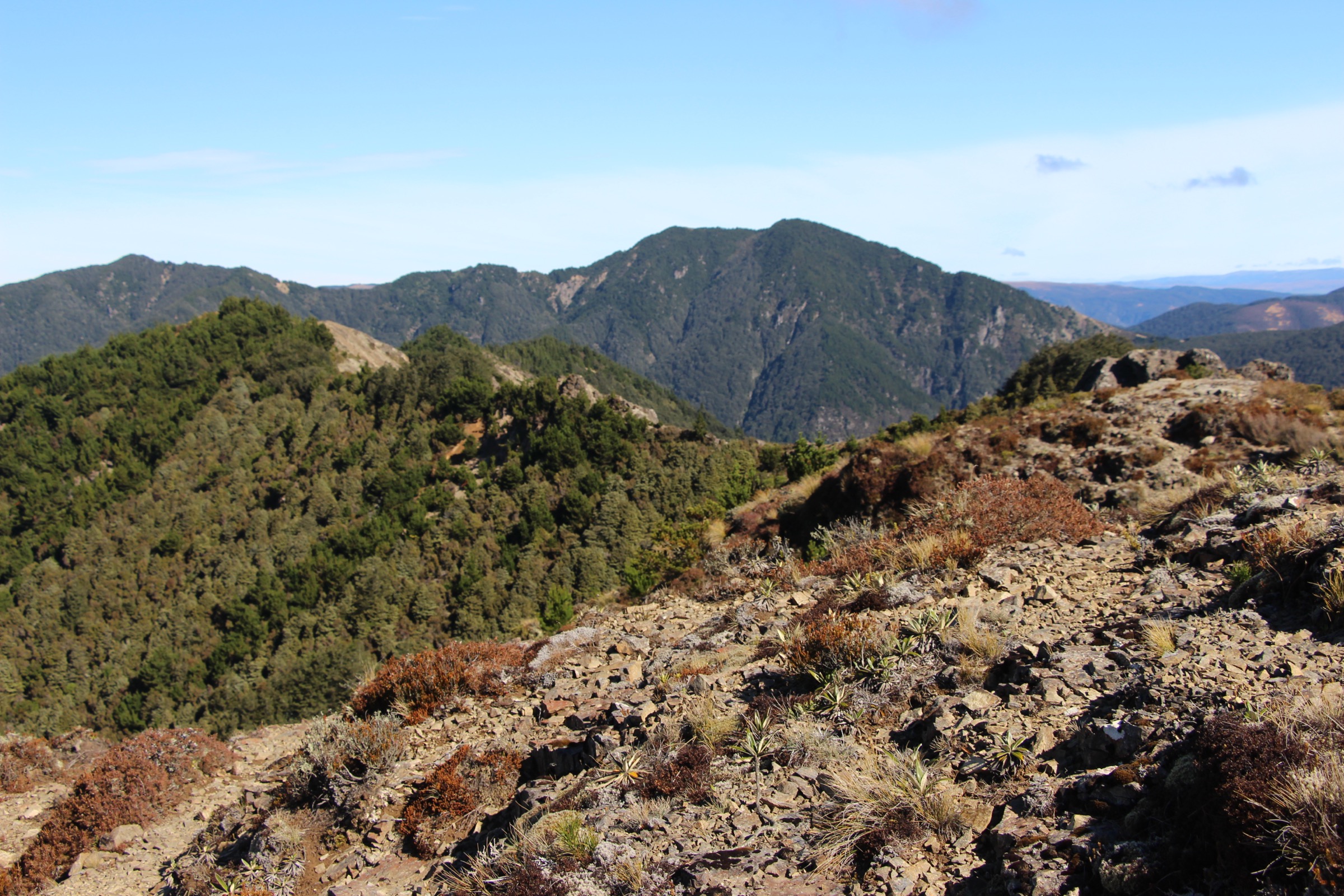
From Cameron car park, the track climbs steeply through manuka forest onto the southern shoulder above the Ngaruroro. The gradient barely eases until the Kuripapango Trig at 1,212 m, where the forest gives way to a bush-edge viewpoint over the southern Kaweka tops, the Ngaruroro river valley and Mackintosh Spur. The standard turnaround is at the trig; the same climb also serves as the first stage of longer travel toward Kiwi Saddle Hut or through to the Lakes car park.
Why it is essential
Kuripapango Trig is the southern gateway viewpoint for the Kaweka Range and one of the clearest short-to-medium hard climbs on this side of the park — a single sustained forest climb to an open ridge view without needing hut logistics or a multi-day plan.
Equipment
- Tramping boots with good ankle support
- Rain shell, warm mid-layer, hat and gloves
- 2 L water
- Food for a hard half-day
- Map / GPS
- Headlamp with spare batteries
Hazards and notes
- Steep, slippery sections through the forest climb after rain
- Fast weather changes on the exposed trig — dress for wind and cold even in warm valley conditions
- Unsealed access on Kuripapango Road — check DOC alerts after heavy rain
- No water on the climb — carry enough for the full day
2. Kaweka Lakes Track
Snapshot
Itinerary
From the Lakes car park, the track drops gently through forest to the twin Kaweka Lakes and returns on the same line. The lakes are used for walking, picnics and fishing, and the short length makes them a useful shoulder-of-the-day objective either side of a longer Kuripapango climb.
Why it is essential
Kaweka Lakes is the clearest lake objective in the southern Kaweka set and balances the otherwise steep hut-and-ridge routes elsewhere in this catalogue — a short forest walk to a pair of small lakes rather than another hard tops day.
Equipment
- Sturdy walking shoes
- Rain shell and warm mid-layer
- 1 L water
- Snacks
- Basic navigation — side tracks and access roads can be confusing
Hazards and notes
- Shorter than the usual catalogue day-hike length but distinctive for the region
- Lakes car park access is off Kuripapango Road — the previous Castle Rock approach is closed; check DOC’s Kaweka Forest Park page for current signage
- Access road can be rough after wet weather
3. Kiwi Saddle Loop via Kiwi Saddle Hut
Snapshot
Itinerary
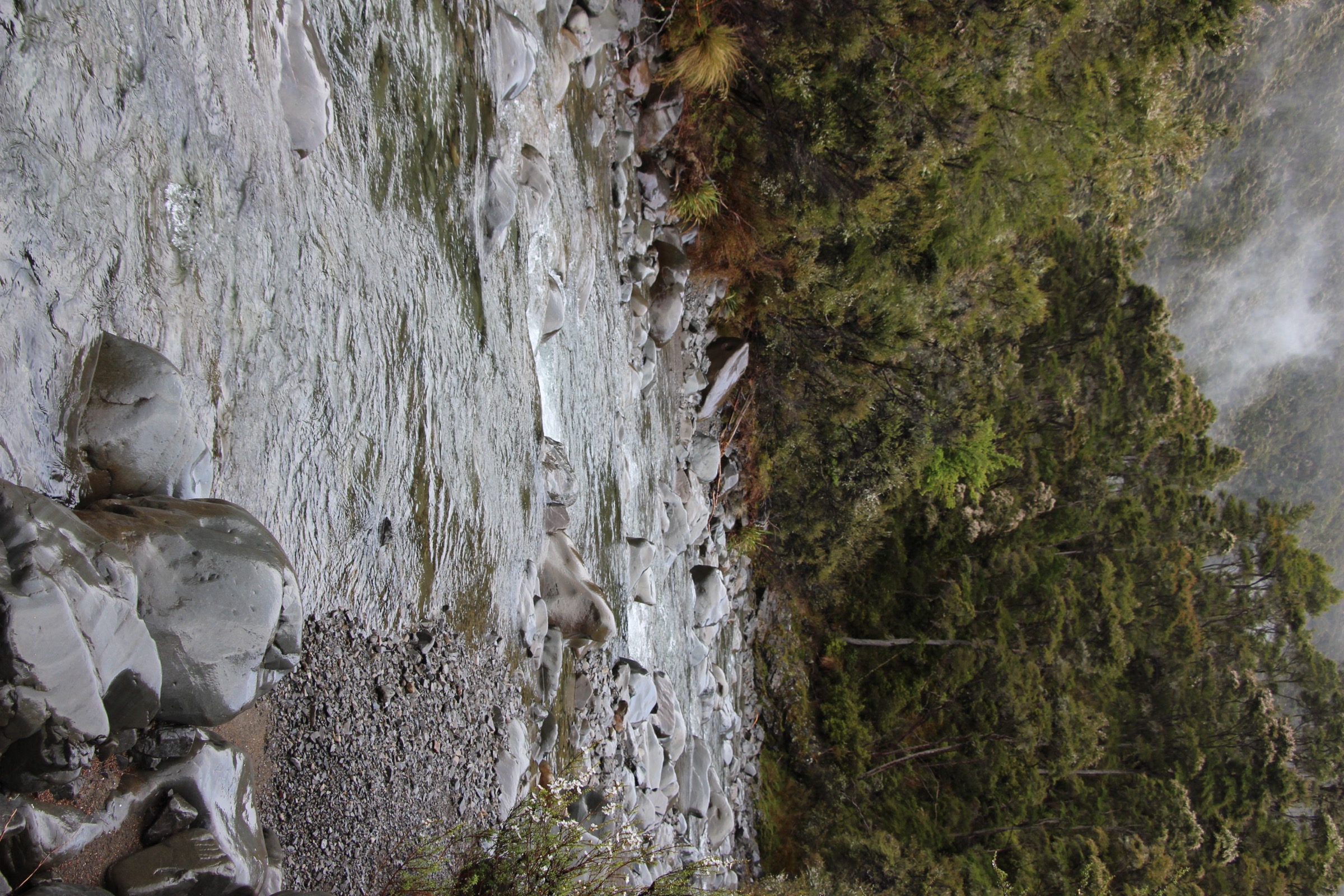
The loop climbs from the southern access car park through forest onto the Kaweka ridge system, tops out at around 1,480 m, drops to Kiwi Saddle Hut on the Ngaruroro side and returns via the ridge and river-valley country. Expect long stretches of exposed tussock, a hut lunch stop and rough underfoot going on the descent — the day is long enough that most parties leave at dawn.
Why it is essential
This is the classic southern Kaweka long circuit — ridge travel, hut access and Ngaruroro / Kiwi country in a single day. It sits at the harder end of what is realistically a day-walk on this side of the park and is the standard objective for parties who want the full southern Kaweka experience without committing to a multi-day traverse.
Equipment
- Full mountain day kit — tramping boots, softshell, hard shell, warm mid-layer, hat and gloves
- 2.5–3 L water and food for a long day
- Map, compass and GPS with the route pre-loaded
- Headlamp with spare batteries — dawn start likely
- Personal Locator Beacon
- First-aid kit
Hazards and notes
- Strenuous and exposed — poor visibility, strong wind and cold southerly weather make ridge navigation difficult
- Long day — plan the turnaround time before the descent to Kiwi Saddle Hut, not after
- Remote hut country with patchy mobile coverage — outside-party plan and PLB are standard
- Water sources are limited on the tops; carry enough for the ridge sections
4. Lawrence Roadend to Mackintosh Hut
Snapshot
Itinerary
From Lawrence Roadend / Lawrence Shelter, the route follows the southern access line toward Mackintosh Hut, crossing river-and-bridge country and climbing steadily onto the Mackintosh Plateau. The DOC time from the Lawrence Road car park is 4 hours; AllTrails’ figure of 3–3.5 hours starts closer to the road end. Return is by the same track, by pre-arranged transport, or by using the hut as the base for a longer plateau stay.
Why it is essential
This is the key southern hut approach from Lawrence Road and the river-valley side of the southern Kaweka Range — a different character from the trig-climb and ridge-loop routes, and the standard entry point for Mackintosh Plateau day trips.
Equipment
- Tramping boots with good ankle support
- Rain shell and warm mid-layer
- Map / GPS
- Headlamp with spare batteries
- 2 L water and food for the day
- Personal Locator Beacon
Hazards and notes
- Lawrence swing bridge has been removed — check DOC’s Mackintosh Hut page for the current river-crossing plan before departure
- Final 600 m of Lawrence Road is steep and not recommended for 2WD vehicles
- River level can rise quickly after rain — do not attempt if flows are high
- Plateau exposure on the upper section — dress for wind even in warm valley conditions
5. Tui Loop Track
Snapshot
Itinerary
The Tui Loop runs a short circuit through forest and lower bush, past rock formations and viewpoints, and returns to the trailhead on the loop. The route is short enough to combine with the Lawrence Roadend to Mackintosh Hut approach on the same day out.
Why it is essential
Tui Loop is shorter than the normal catalogue range but fills an important southern Kaweka role: an accessible forest loop from the Lawrence Road side rather than another long hut approach. It is the only short circuit on this side of the park and the most approachable entry for parties with limited time in the area.
Equipment
- Sturdy walking shoes
- Rain shell
- 1 L water
- Snacks
- Basic navigation
Hazards and notes
- Some narrow and steep sections despite the short length
- No dedicated DOC page at time of writing — route verified via AllTrails and OpenStreetMap
- Lawrence Road access is unsealed and rough after heavy rain
Further reading
| Resource | Link |
|---|---|
| DOC — Kaweka Forest Park | doc.govt.nz |
| DOC — Kiwi Saddle Hut | doc.govt.nz |
| DOC — Mackintosh Hut | doc.govt.nz |
| AllTrails — Cameron Carpark to Kuripapango Trig | alltrails.com |
| AllTrails — Kaweka Lakes Track | alltrails.com |
| AllTrails — Kiwi Saddle Loop via Kiwi Saddle Hut | alltrails.com |
| AllTrails — Lawrence Roadend to Mackintosh Hut | alltrails.com |
| AllTrails — Tui Loop Track | alltrails.com |
| MetService — Hawke’s Bay regional forecast | metservice.com |
| Wikipedia — Kaweka Range | en.wikipedia.org |
| Wikimedia Commons — Kaweka Range category | commons.wikimedia.org |