Regional overview
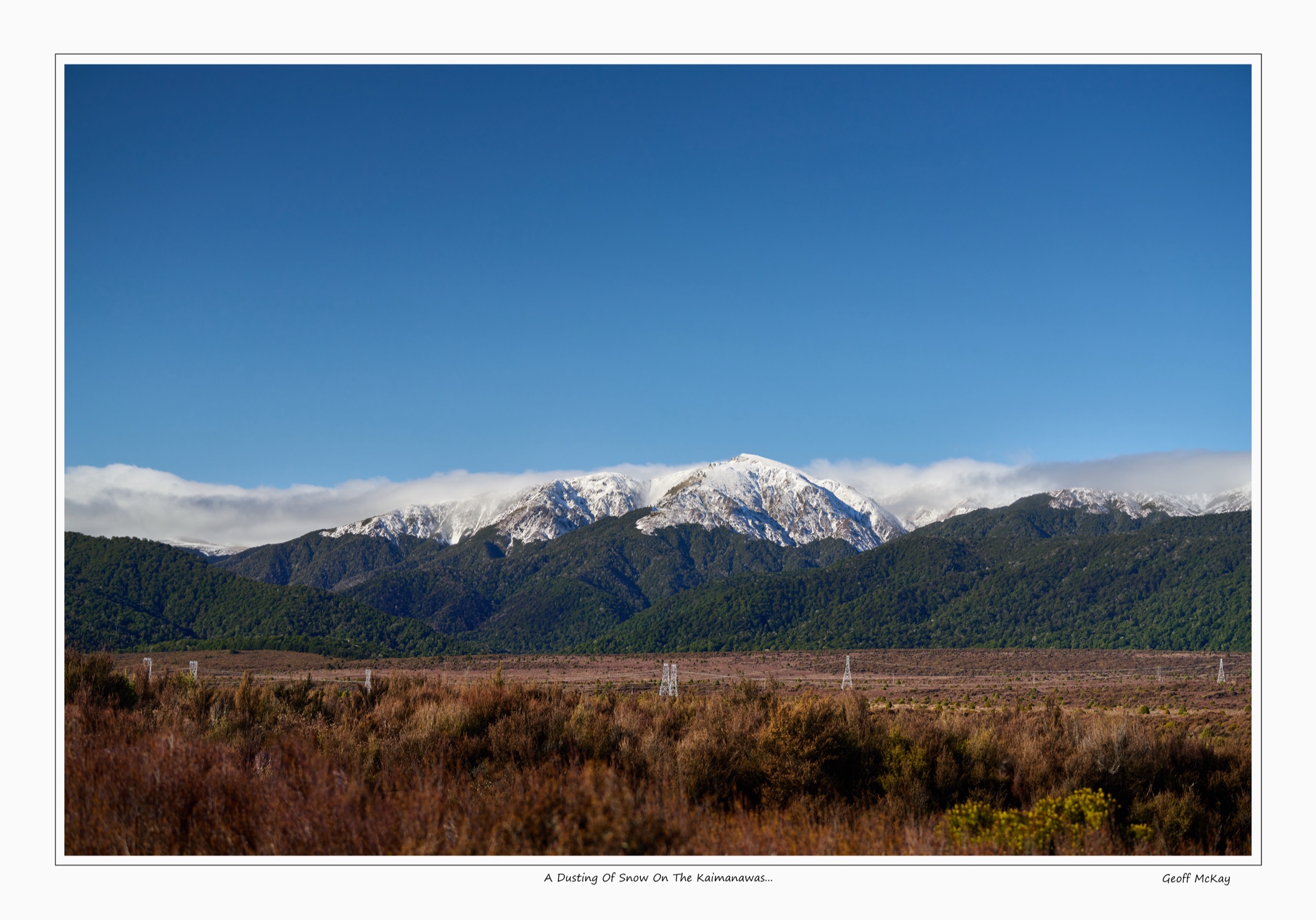
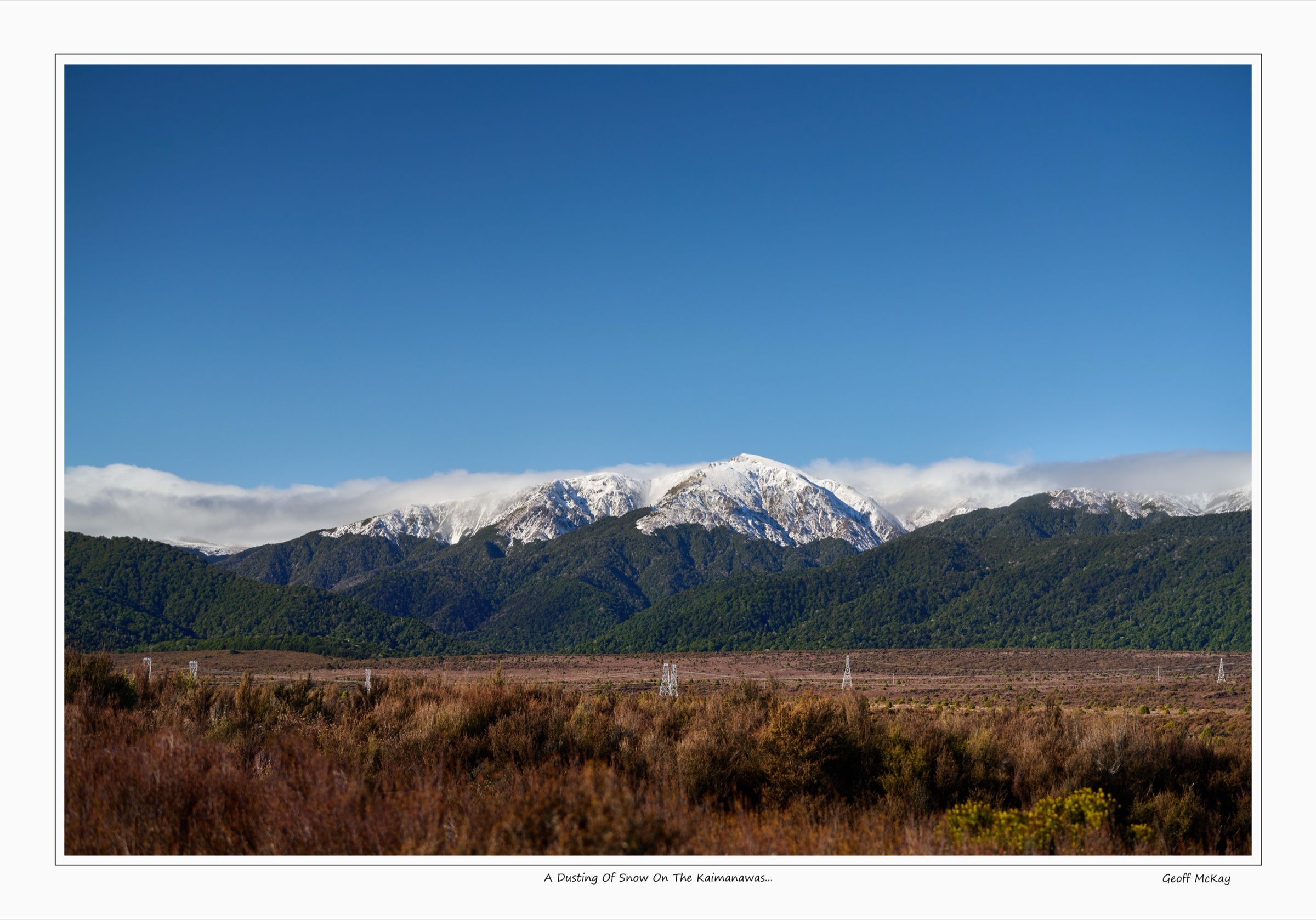
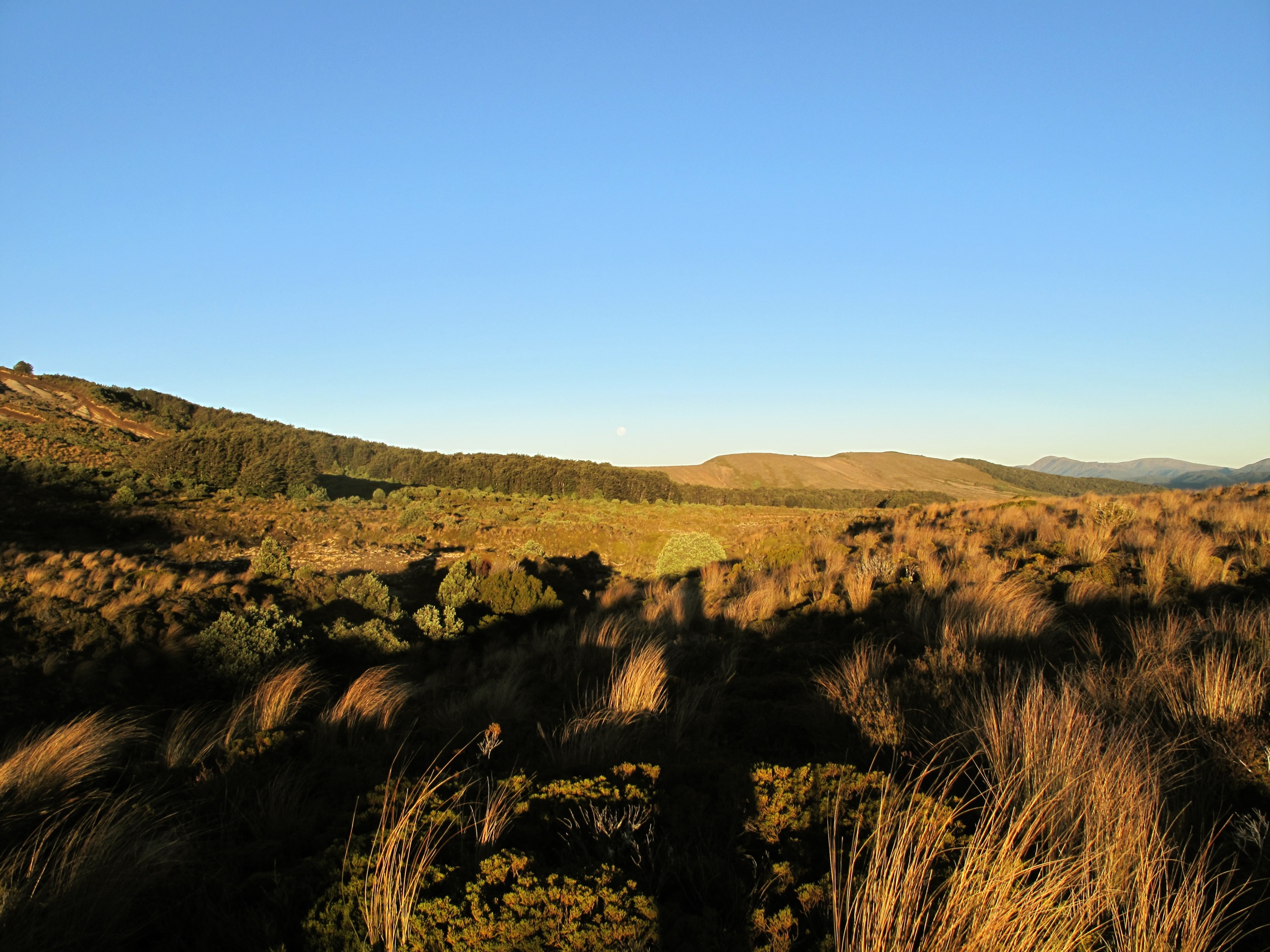
The northern Kaimanawas sit south and east of Tūrangi, where Kaimanawa Road, Tree Trunk Gorge Road and the Urchin access routes give the easiest public entry into Kaimanawa Forest Park. The country runs from short forest loops and Tongariro River gorge viewpoints up to exposed tussock tops around Mt Urchin and the Umukarikari Range. DOC describes the wider park as remote backcountry with changeable weather, private-land boundaries, hunting and fishing permits where relevant, and limited mobile coverage.
Compared with the more remote central Kaimanawas and southern Kaimanawas, the north offers the park’s most day-hike-friendly cluster of tracks: a clean tops objective on Mt Urchin, a long skyline traverse to Umukarikari, an old Tongariro Power Scheme forest road through Tree Trunk Gorge, a short gorge viewpoint walk to the Pillars of Hercules suspension bridge, and a compact ecology loop at Urchin Campsite. All five start from public road ends off SH1 or its short side roads south of Tūrangi.
Selection rationale
The five hikes cover the verified northern day-walk spectrum: a high tops objective (Mt Urchin), a long tops traverse (U2U), a historic gorge / power-scheme road route (Tree Trunk Gorge to Urchin Campsite), a short gorge viewpoint walk (Pillars of Hercules), and a forest ecology loop (Kaimanawa Forest Loop). The selection deliberately avoids routes that depend on unverified private access or multi-day hut logistics, and uses DOC as the primary stats source with AllTrails only as a secondary cross-check.
Summary table
| # | Hike | Country | Route type | Distance | Elevation gain | Max elevation | Difficulty |
|---|---|---|---|---|---|---|---|
| 1 | Mt Urchin Trig Track | New Zealand | Out-and-back | 6.6 km return | 528 m | 1,391 m | Hard |
| 2 | Urchin to Umukarikari (U2U) Track | New Zealand | Point-to-point traverse | 18.5 km | Unresolved | 1,481 m (Sharp Cone) | Advanced |
| 3 | Tree Trunk Gorge Track to Urchin Campsite | New Zealand | Out-and-back day variant | ~10 km return | 334 m | 790 m | Advanced / moderate |
| 4 | Urchin Campsite to Pillars of Hercules | New Zealand | Out-and-back | 3 km return | 109 m | 720 m | Easy–intermediate |
| 5 | Kaimanawa Forest Loop Walk | New Zealand | Loop | 1.1 km | 33 m | 743 m | Easy–intermediate |
Before you go
Permits and access
All five routes lie inside Kaimanawa Forest Park, managed by DOC. The main northern approaches are Kaimanawa Road and Tree Trunk Gorge Road, both off SH1 south of Tūrangi. DOC recommends high-clearance or 4WD access beyond Urchin Campsite, and the road approach can be affected by rain. Plantations and private land sit close to several boundaries — stay on marked routes. Dogs require a DOC hunting-dog permit. Check the DOC Kaimanawa Forest Park page for current alerts before travel.
Standard northern Kaimanawa day-hiking kit
For the tops routes (Mt Urchin and U2U), carry:
- Full tramping kit: boots with grip, waterproof shell, warm layers, hat and gloves, food, water and treatment, map and compass with GPS backup.
- Headtorch with spare batteries — the U2U day routinely finishes in marginal light.
- Personal locator beacon (PLB) for the long traverse; mobile coverage is limited across the park.
- 2–3 L of water; there are no reliable water sources on the Mt Urchin tops or the U2U skyline.
For the lower routes (Tree Trunk Gorge, Pillars of Hercules and the Forest Loop), sturdy footwear, a rain layer, warm layer, food and water are enough; supervise children near the Pillars gorge and bridge.
Common hazards
Weather can change quickly on the Urchin and Umukarikari tops, with no reliable shelter between trig points. The Tree Trunk Gorge corridor has several small stream crossings and one larger crossing about fifteen minutes from the southern entrance that can become more difficult after rain; the same corridor is shared with mountain bikers. Dogs require a DOC permit on every route.
1. Mt Urchin Trig Track
Snapshot
Itinerary
Climb steadily from the Urchin road end through beech forest to the bush line, then continue across the tussock tops to Urchin Trig. In good visibility the tops give broad views over Lake Taupō, the Tongariro National Park volcanoes and the Kaimanawa interior. Return by the same line.
Why it is essential
Mt Urchin is the northern Kaimanawas’ cleanest day objective: enough climbing and exposure to feel like a real tops tramp, but still achievable without hut logistics.
Hazards and notes
- No water sources on the track; carry 2 L or more.
- The surface is rough and uneven, and the tops are exposed to fast weather changes.
- Dogs require a DOC permit.
GPX / KML links
| Source | URL | Format | Notes |
|---|---|---|---|
| DOC Mt Urchin Trig Track | doc.govt.nz | Official route page | DOC website terms; no standalone GPX verified |
| DOC online topo map (Mt Urchin) | doc.govt.nz | Source map | DOC website terms; geometry cross-check only |
| AllTrails Mt Urchin Track | alltrails.com | Secondary route page | AllTrails terms apply; stats cross-check only |
Further reading
2. Urchin to Umukarikari (U2U) Track
Snapshot
Itinerary
Climb the Urchin Track through forest to Urchin Trig, then continue roughly two kilometres across open tops to the junction with the Waipakihi / Umukarikari line. The route follows the ridge system toward Sharp Cone on the Umukarikari Range, then joins the Umukarikari Track and descends west through beech forest to the Umukarikari car park.
Why it is essential
This is the northern Kaimanawas’ signature big day: a sustained skyline traverse linking two of the best public access points, with the entire central Kaimanawa interior visible to the south.
Hazards and notes
- The traverse is long and exposed; an early start is non-negotiable.
- No water on the tops; carry 3 L.
- The car parks are far apart, so transport must be solved before starting.
- Dogs require a DOC permit.
GPX / KML links
| Source | URL | Format | Notes |
|---|---|---|---|
| DOC Urchin to Umukarikari (U2U) Track | doc.govt.nz | Official route page | DOC website terms; no standalone GPX verified |
| DOC online topo map (U2U) | doc.govt.nz | Source map | DOC website terms; geometry cross-check only |
Further reading
3. Tree Trunk Gorge Track to Urchin Campsite
Snapshot
Itinerary
Follow the old Tongariro Power Scheme road line between Tree Trunk Gorge and Urchin Campsite. The route passes red beech forest and an open ridge section with views toward Tongariro National Park. Turn around at the opposite trailhead for a full walking day, or arrange transport for a shorter one-way outing.
Why it is essential
The most accessible longer forest-and-gorge walk in the northern Kaimanawas, and a gentler alternative to the exposed Urchin tops.
Hazards and notes
- Several small stream crossings and one larger crossing about fifteen minutes from the southern entrance; difficulty rises after rain.
- The corridor is shared with mountain bikers.
- Dogs require a DOC permit.
GPX / KML links
| Source | URL | Format | Notes |
|---|---|---|---|
| DOC Tree Trunk Gorge tracks | doc.govt.nz | Official route page | DOC website terms; no standalone GPX verified |
| DOC online topo map (Tree Trunk Gorge) | doc.govt.nz | Source map | DOC website terms; geometry cross-check only |
| AllTrails Tree Trunk Gorge Track to Urchin Campsite | alltrails.com | Secondary route page | AllTrails terms apply; stats cross-check only |
Further reading
4. Urchin Campsite to Pillars of Hercules
Snapshot
Itinerary
Walk from Urchin Campsite through kāmahi forest to the forty-metre suspension bridge over the narrow Tongariro River gorge at the Pillars of Hercules. Return the same way; the road is only useful if planning a deliberate short road-walk variation.
Why it is essential
A dramatic river-gorge payoff with very little approach — the best low-commitment northern Kaimanawa outing and the natural rest-day option around the Urchin tops.
Hazards and notes
- Supervise children around the gorge and on the bridge.
- Dogs require a DOC permit.
- Mountain bikers may also use the track.
GPX / KML links
| Source | URL | Format | Notes |
|---|---|---|---|
| DOC Urchin Campsite to Pillars of Hercules | doc.govt.nz | Official route page | DOC website terms; no standalone GPX verified |
| DOC online topo map (Pillars of Hercules) | doc.govt.nz | Source map | DOC website terms; geometry cross-check only |
| AllTrails Urchin Campsite to Pillars of Hercules | alltrails.com | Secondary route page | AllTrails terms apply; stats cross-check only |
Further reading
5. Kaimanawa Forest Loop Walk
Snapshot
Itinerary
Follow the gently sloping loop from Urchin Campsite through native bush, passing a compact sample of the forest types found on the northern edge of Kaimanawa Forest Park.
Why it is essential
The simplest verified northern Kaimanawa walk, useful as a warm-up, a family stop or a bad-weather fallback when the Urchin tops are not sensible.
Hazards and notes
- Short, but weather can still change quickly around the campsite and roads.
- Dogs require a DOC permit.
GPX / KML links
| Source | URL | Format | Notes |
|---|---|---|---|
| DOC Kaimanawa Forest Loop Walk | doc.govt.nz | Official route page | DOC website terms; no standalone GPX verified |
| DOC online topo map (Kaimanawa Forest Loop) | doc.govt.nz | Source map | DOC website terms; geometry cross-check only |
| AllTrails Kaimanawa Forest Loop Walk | alltrails.com | Secondary route page | AllTrails terms apply; stats cross-check only |
Further reading
Further reading
| Source | URL |
|---|---|
| DOC Kaimanawa Forest Park | doc.govt.nz |
| DOC Mt Urchin Trig Track | doc.govt.nz |
| DOC Urchin to Umukarikari (U2U) Track | doc.govt.nz |
| DOC Tree Trunk Gorge tracks | doc.govt.nz |
| DOC Urchin Campsite to Pillars of Hercules | doc.govt.nz |
| DOC Kaimanawa Forest Loop Walk | doc.govt.nz |
| Wikipedia — Kaimanawa Forest Park | en.wikipedia.org |
| Wikipedia — Kaimanawa Range | en.wikipedia.org |
Missing data / follow-up work
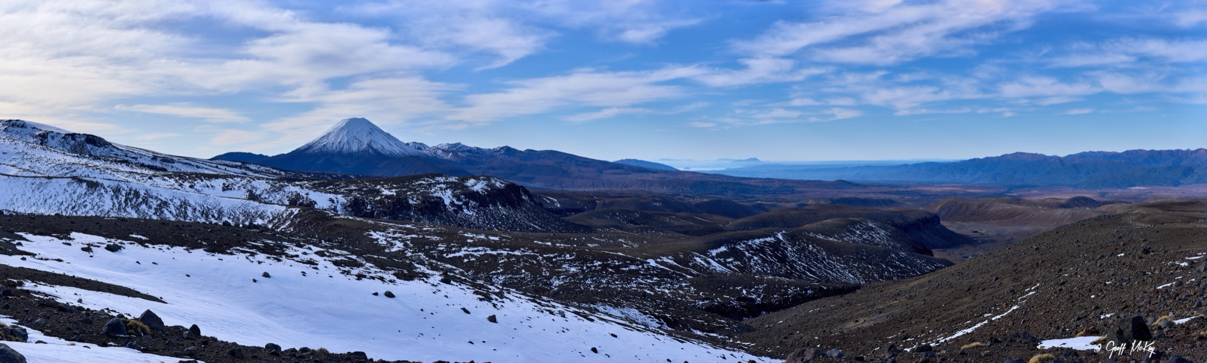
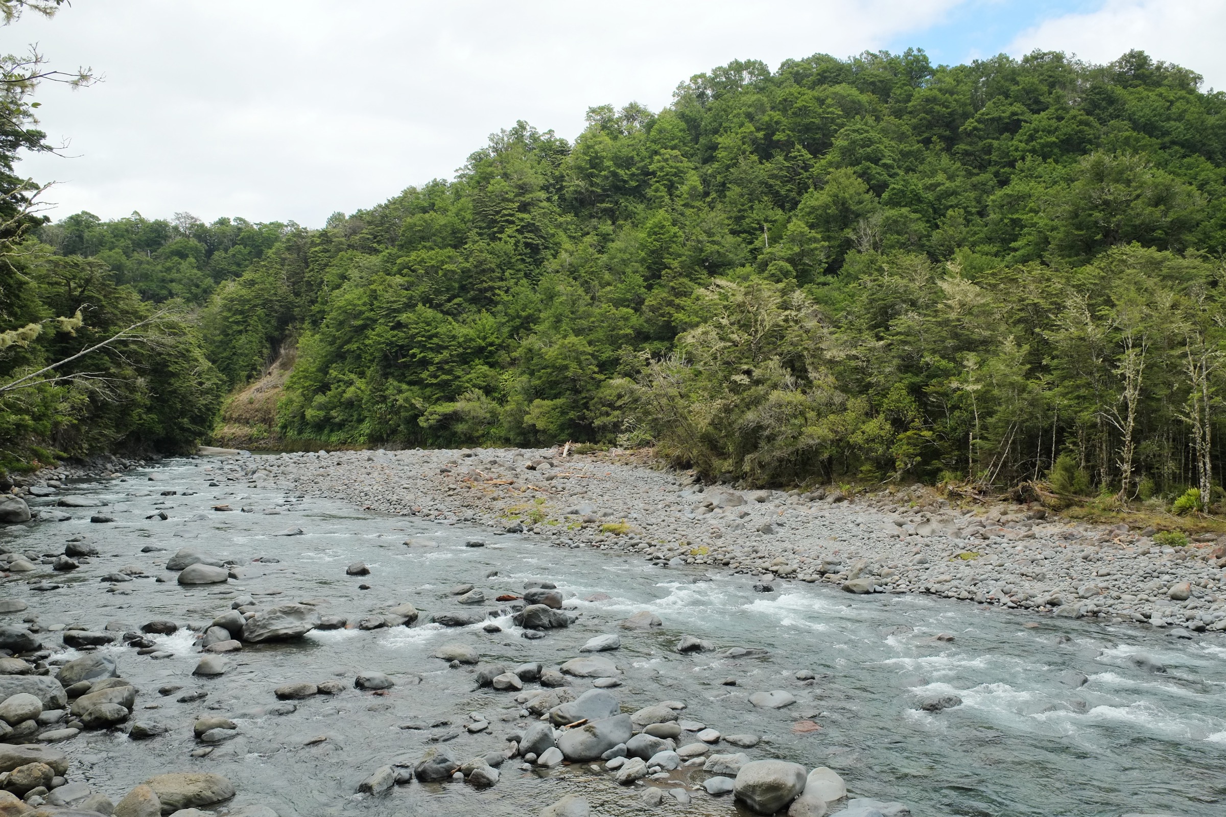
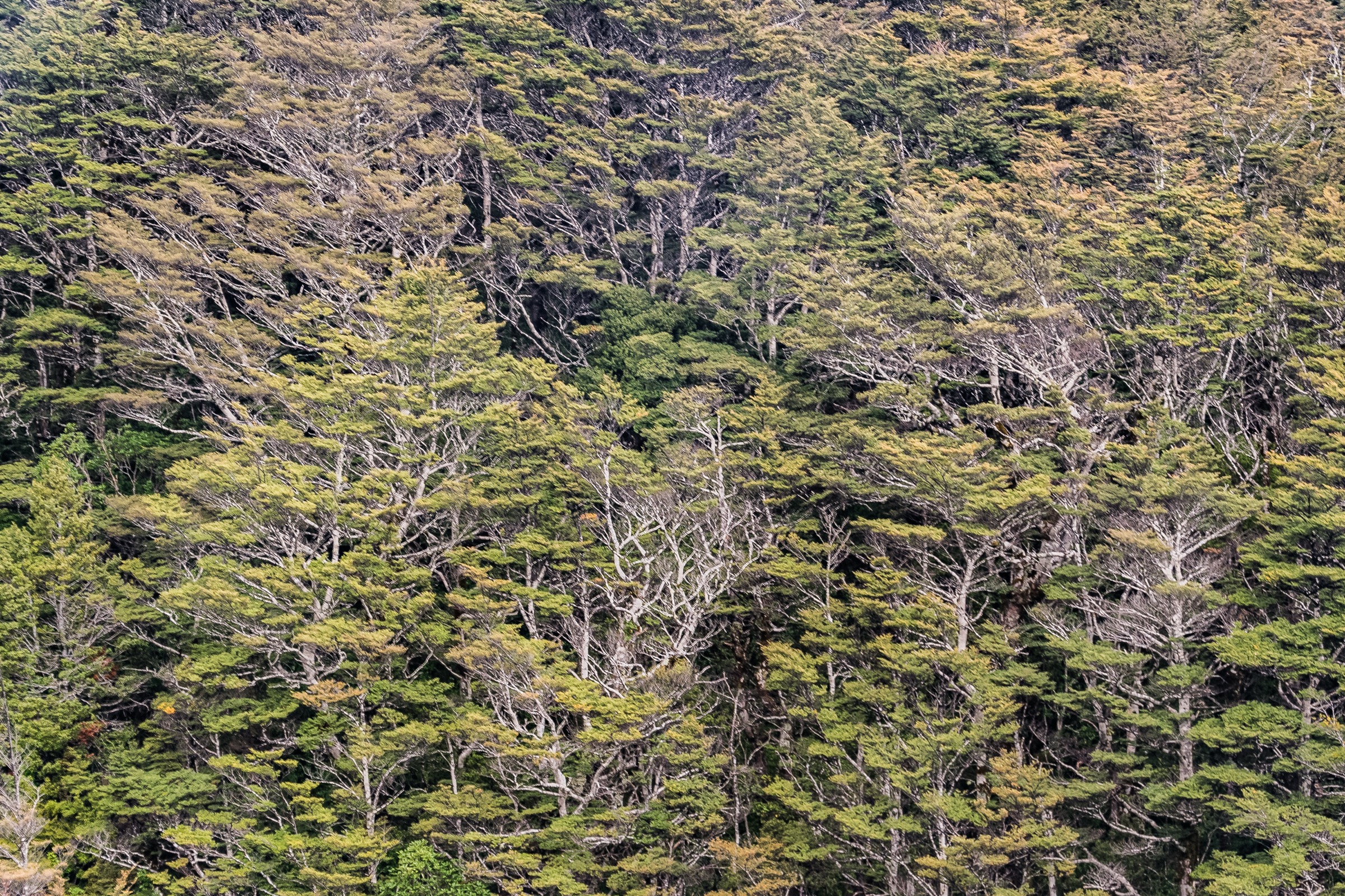
- Route-specific reusable photos for Mt Urchin, U2U, Tree Trunk Gorge, the Pillars of Hercules suspension bridge and the Kaimanawa Forest Loop are not currently on Commons; the figures above use representative Kaimanawa, Tongariro River and Nothofagus forest imagery.
- DOC map route geometry is treated as a source reference only; reuse rights have not been confirmed and no standalone GPX/KML has been verified for the five tracks.
- The Kaimanawa Road and Tree Trunk Gorge Road condition should be rechecked before any trip, especially the high-clearance / 4WD recommendation beyond Urchin Campsite.
- The U2U traverse needs a verified elevation-gain profile and a confirmed reuse-licence GPX before any further enrichment.