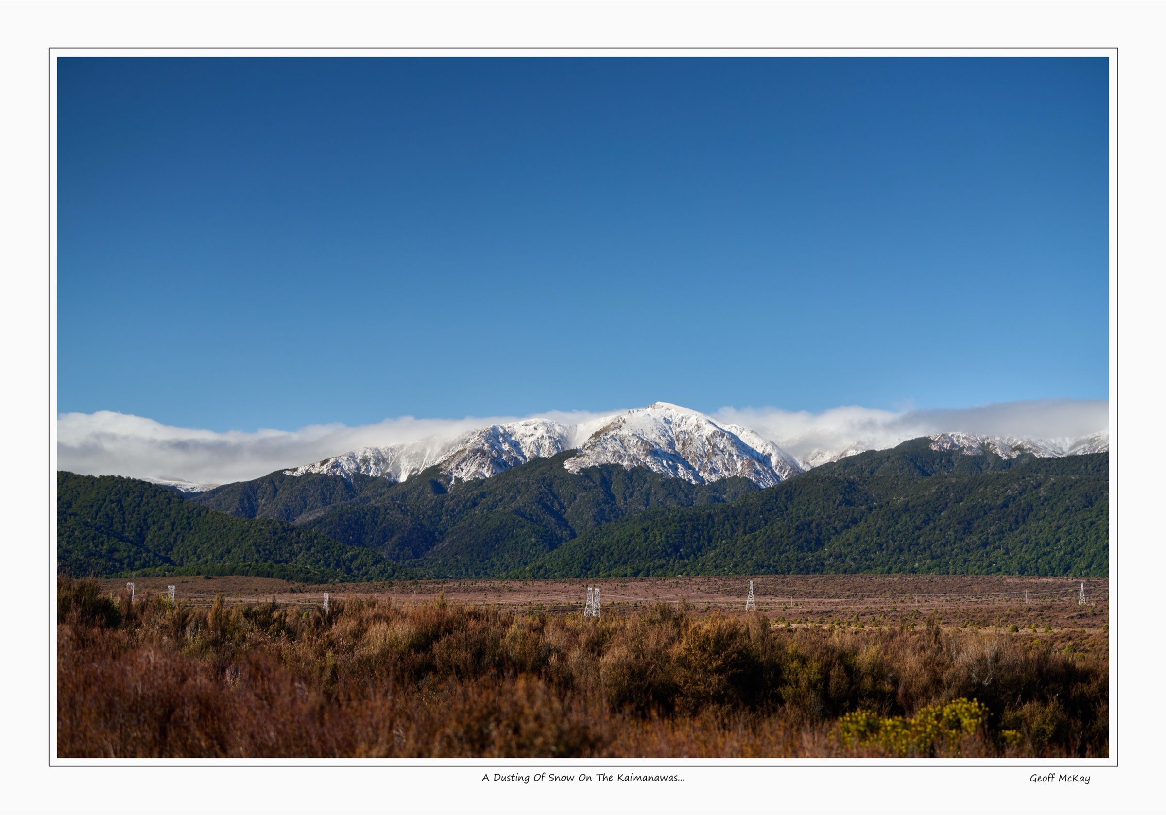
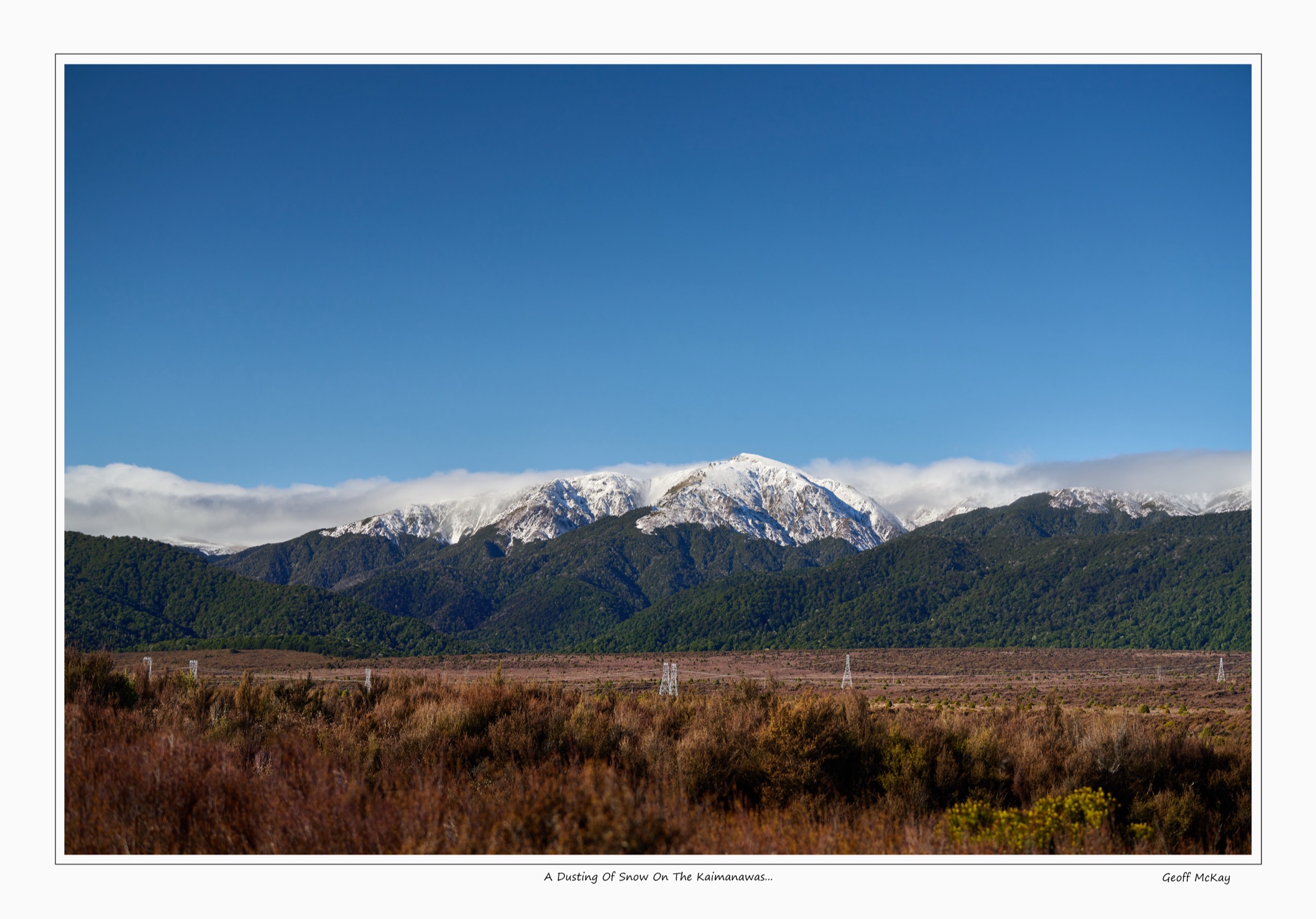
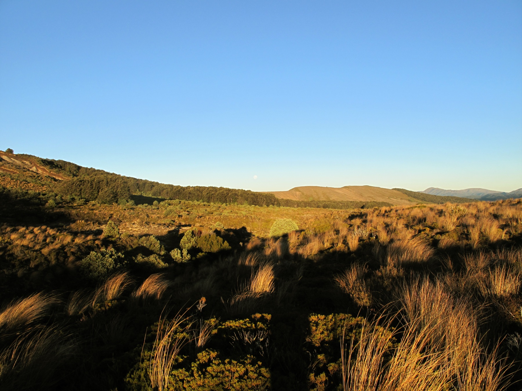
Regional overview
The central Kaimanawas sit between the more accessible northern Kaimanawas (Urchin and Kiko road ends) and the remote southern Kaimanawas (Desert Road / Rangitīkei country). The main public approaches are Clements Mill Road / Te Iringa Campsite, Kiko Road, and the hut network around Oamaru, Boyd, and Cascade. Expect beech forest, old logging and power-scheme access lines, steep volcanic plateaus, river valleys, and remote huts.
DOC highlights private-land boundaries, hunting and fishing permits where relevant, changeable weather, and limited mobile coverage across Kaimanawa Forest Park. The central Kaimanawas are not a dense day-walk network: several recognised routes are long hut-stage objectives, point-to-point lines, or have access-limited extensions. Those are labelled below.
Selection rationale
The five hikes choose the best verified central building blocks: Te Iringa to Tiki Tiki Stream, the Kiko forest loop, the Ngapuketurua access route, the Clements Mill to Oamaru Hut stage, and the Hinemaiaia / Cascade Hut route. Together they represent the central Kaimanawas’ realistic day and long-day catalogue without inventing roadheads or permissions.
Summary table
| # | Hike | Country | Route type | Distance | Elevation gain | Max elevation | Difficulty |
|---|---|---|---|---|---|---|---|
| 1 | Te Iringa Track to Tiki Tiki Stream | New Zealand | Out-and-back | 19 km return | 955 m | 1,137 m | Hard |
| 2 | Kiko Loop Track | New Zealand | Loop | 3.9–4.2 km | 125 m | 795 m | Easy–intermediate |
| 3 | Ngapuketurua Track to park boundary | New Zealand | Out-and-back | 11 km return | Advanced | ||
| 4 | Clements Mill Road to Oamaru Hut via Te Iringa | New Zealand | Point-to-point hut stage | 19 km one way | 712 m | Advanced | |
| 5 | Hinemaiaia Track: Clements Mill Road to Cascade Hut | New Zealand | Out-and-back / hut stage | 24 km return | Advanced |
Before you go
Permits and access
All five routes lie inside Kaimanawa Forest Park, managed by DOC. The main central approaches are Clements Mill Road (from SH5 via Taharua Road) and Kiko Road (from SH1 north of Tūrangi). DOC notes that the final section of Kiko Road needs high-clearance or 4WD access and that plantations beside Kiko Road are private. The Ngapuketurua corridor onward to Cascade Hut over East Taupō lands is closed to general public access; contact Helisika for permission if planning beyond the public boundary. Dogs require a DOC hunting-dog permit. Check the DOC Kaimanawa Forest Park page for current alerts before travel.
Standard Kaimanawa day-hiking kit
For all five routes, carry:
- Full tramping kit: boots with grip, waterproof shell, warm layers, hat and gloves, food, water and treatment, map and compass with GPS backup.
- Headtorch with spare batteries — the long routes finish in marginal light.
- Personal locator beacon (PLB) for the backcountry hut routes; mobile coverage is limited across the park.
- Hut tickets and overnight gear if any route is to be extended into a hut night.
Common hazards
Weather can change quickly, and high-volume rain affects forest tracks, swingbridge approaches, and Kaipo / Hinemaiaia / Tauranga-Taupō river travel on the longer routes. Several day-sized routes share corridors with mountain bikers; expect to step aside on the Te Iringa Track. Old logging access, slip-prone benched track, and steep beech-forest sidles are common. Treat private-land boundaries on Kiko Road and around Ngapuketurua / Cascade as binding.
1. Te Iringa Track to Tiki Tiki Stream

Snapshot
Itinerary
From Te Iringa Campsite, the track climbs gradually and then more steeply to the old Te Iringa Hut site; DOC notes that the hut burned down and will not be replaced. The route then climbs and traverses around Mt Te Iringa before descending through steep, technical country to Tiki Tiki Stream. Return is by the same line for the day-hike format.
Why it is essential
This is the most substantial central Kaimanawa day route reachable from Clements Mill Road. It gives a real taste of the remote Te Iringa / Oamaru corridor without requiring a hut night.
Hazards and notes
- The route is steep, narrow, and technical in places.
- Wet beech forest, poor visibility, and late finishes are realistic hazards.
- The Te Iringa corridor is shared with mountain bikers — expect to step aside.
- Dogs require a DOC permit.
GPX / KML links
| Source | URL | Format | Notes |
|---|---|---|---|
| DOC Te Iringa Track | doc.govt.nz | Official route page | DOC website terms; no standalone GPX verified |
| DOC online topo map (Te Iringa) | doc.govt.nz | Source map | DOC website terms; geometry cross-check only |
| AllTrails Te Iringa Track to Tiki Tiki Stream | alltrails.com | Secondary route page | AllTrails terms apply; stats cross-check only |
Further reading
2. Kiko Loop Track
Snapshot
Itinerary
The loop runs through a compact mix of central Kaimanawa forest: podocarp forest with mataī, miro, and rimu; beech and kāmahi forest; crown fern and regenerating bush. DOC also notes protected red mistletoe and North Island robin habitat in the loop block.
Why it is essential
Kiko Loop is the best short ecological walk in the central Kaimanawa catalogue and a practical companion to the longer Ngapuketurua access route.
Hazards and notes
- The track is short, but the access road is remote and partly high-clearance.
- Respect private forestry land beside Kiko Road.
- Dogs require a DOC permit.
GPX / KML links
| Source | URL | Format | Notes |
|---|---|---|---|
| DOC Kiko Loop Track | doc.govt.nz | Official route page | DOC website terms; no standalone GPX verified |
| DOC online topo map (Kiko Loop) | doc.govt.nz | Source map | DOC website terms; geometry cross-check only |
| AllTrails Kiko Loop Track | alltrails.com | Secondary route page | AllTrails terms apply; stats cross-check only |
Further reading
3. Ngapuketurua Track to park boundary
Snapshot
Itinerary
From part-way around Kiko Loop, the Ngapuketurua Track begins as a benched and graded forest line. After about half an hour the route climbs steeply through beech forest toward hunting country below the Ngapuketurua bush line. Turn around at the public-access limit unless the relevant private-land permissions have been arranged.
Why it is essential
Ngapuketurua is the central Kaimanawas’ key Kiko Road backcountry access route and the natural progression after the Kiko Loop.
Hazards and notes
- DOC states the old route onward from Kiko Road over Ngapuketurua to Cascade Hut is blocked by East Taupō lands access constraints; contact Helisika for permission if planning beyond the public boundary.
- The AllTrails route extends farther than the verified public-access limit and is not used for headline stats.
- Dogs require a DOC permit.
GPX / KML links
| Source | URL | Format | Notes |
|---|---|---|---|
| DOC Ngapuketurua Track | doc.govt.nz | Official route page | DOC website terms; no standalone GPX verified |
| DOC online topo map (Ngapuketurua) | doc.govt.nz | Source map | DOC website terms; geometry cross-check only |
| AllTrails Ngapuketurua Track | alltrails.com | Secondary route page | Conflicts with access note; do not use beyond the public boundary |
Further reading
4. Clements Mill Road to Oamaru Hut via Te Iringa
Snapshot
Itinerary
From the Clements Mill Road car park, the route climbs toward the old Te Iringa Hut clearing, then skirts Mt Te Iringa before dropping to the Tiki Tiki Stream / Kaipo River junction and swingbridge. The main route follows the true right of the Kaipo River to Oamaru Hut near the Kaipo / Oamaru confluence.
Why it is essential
This is the core central Kaimanawa hut approach: a long, sourceable day that links the Clements Mill access road with the Oamaru backcountry basin.
Hazards and notes
- This is not a casual return day walk. It ends at a remote hut and requires a planned exit, overnight stay, or other logistics.
- The former Te Iringa Hut burned down and will not be replaced.
- Dogs require a DOC permit.
GPX / KML links
| Source | URL | Format | Notes |
|---|---|---|---|
| DOC Boyd, Oamaru and Cascade Hut tracks | doc.govt.nz | Official route page | DOC website terms; no standalone GPX verified |
| AllTrails Clements Mill Road to Oamaru Hut via Te Iringa | alltrails.com | Secondary route page | AllTrails terms apply; stats cross-check only |
Further reading
5. Hinemaiaia Track: Clements Mill Road to Cascade Hut
Snapshot
Itinerary
From Clements Mill Road, the Hinemaiaia / Cascade route runs through beech-covered ridges and stream valleys to Cascade Hut. DOC describes the route in the opposite direction as leaving Cascade Hut, following the Tauranga-Taupō River flats, climbing away from the river, and descending toward Clements Mill Road via the Hinemaiaia Stream system.
Why it is essential
Cascade Hut is one of the central Kaimanawas’ key backcountry nodes, and the Hinemaiaia line is the most sourceable day-sized access route from Clements Mill Road.
Hazards and notes
- At 24 km return, this is a long and serious day; the safest version is an overnight at Cascade Hut.
- Continuations beyond Cascade Hut cross more remote country with river travel and access constraints.
- Treat this as advanced backcountry, not a formed lowland track.
GPX / KML links
| Source | URL | Format | Notes |
|---|---|---|---|
| DOC Boyd, Oamaru and Cascade Hut tracks | doc.govt.nz | Official route page | DOC website terms; no standalone GPX verified |
| Standalone GPX/KML | — | — | Not found in this pass; follow-up required |
Further reading
Further reading
| Source | URL |
|---|---|
| DOC Kaimanawa Forest Park | doc.govt.nz |
| DOC Te Iringa Track | doc.govt.nz |
| DOC Kiko Loop Track | doc.govt.nz |
| DOC Ngapuketurua Track | doc.govt.nz |
| DOC Boyd, Oamaru and Cascade Hut tracks | doc.govt.nz |
| Wikipedia — Kaimanawa Forest Park | en.wikipedia.org |
| Wikipedia — Kaimanawa Range | en.wikipedia.org |
Missing data / follow-up work
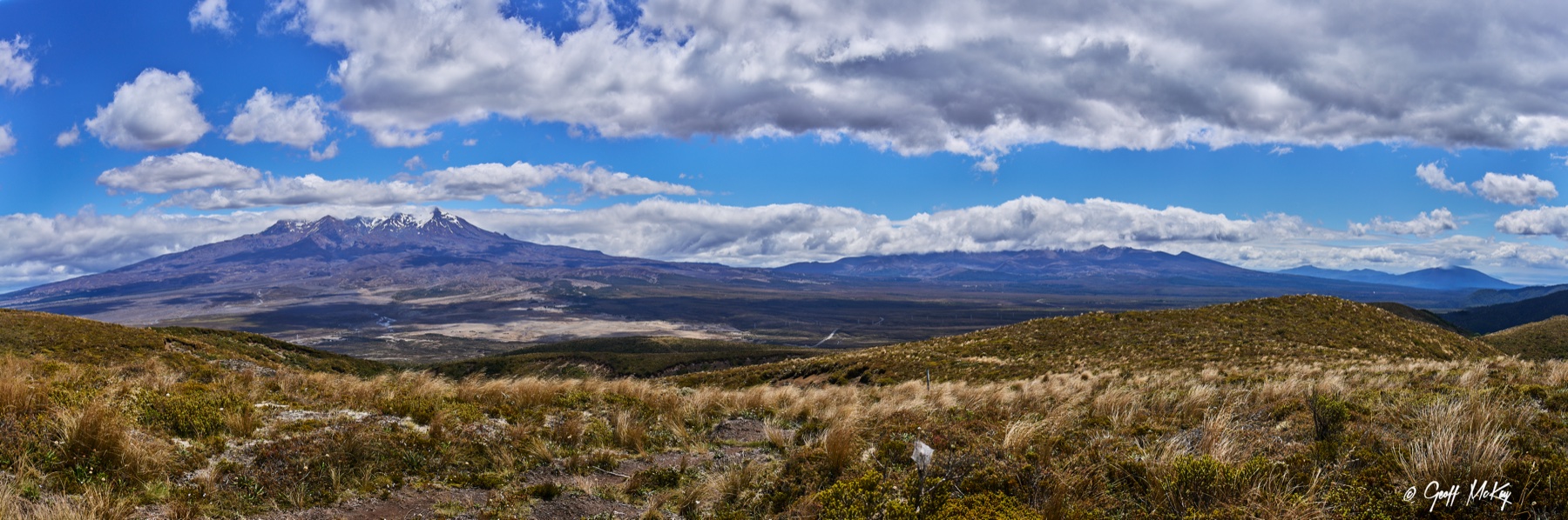
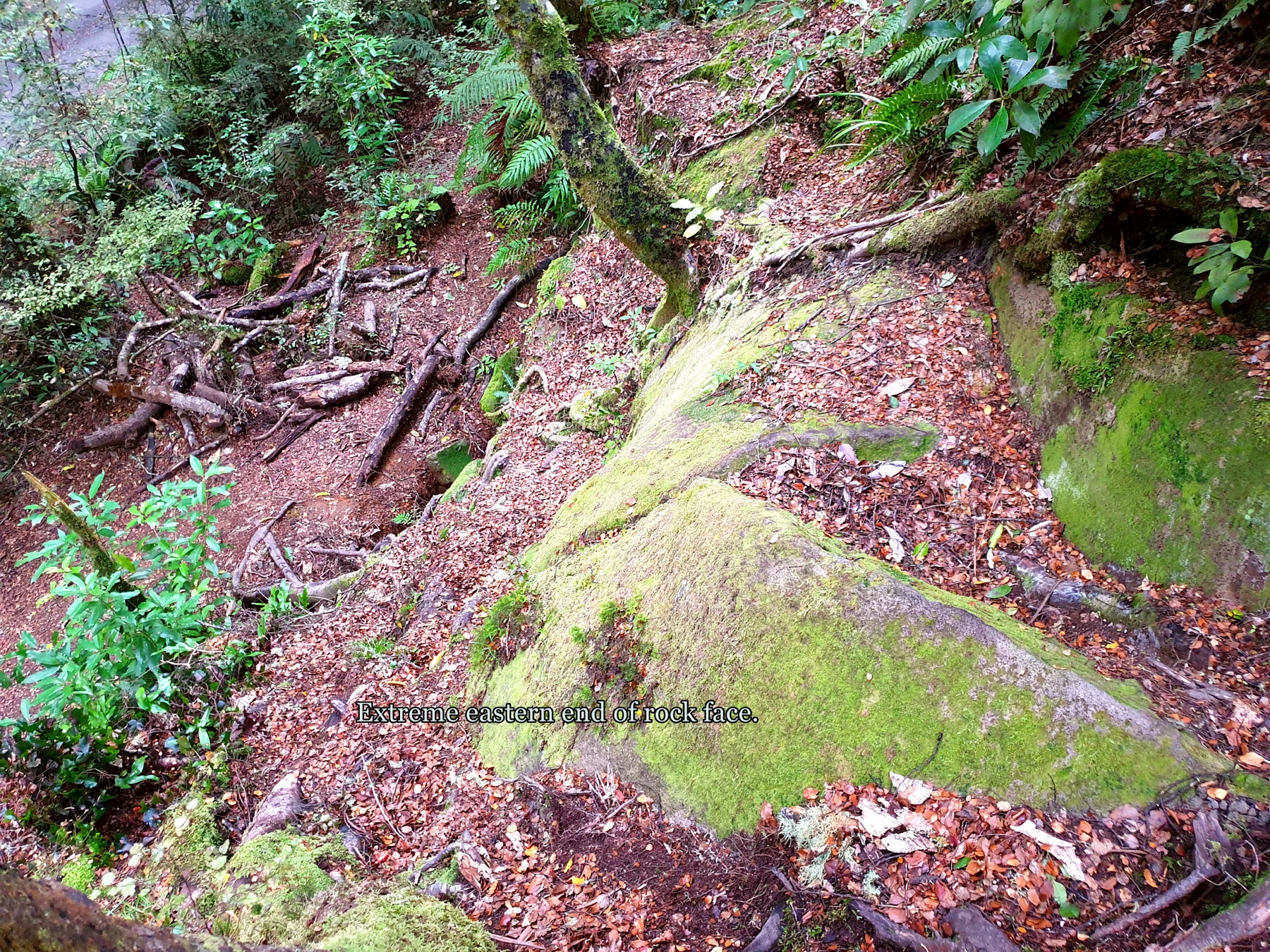
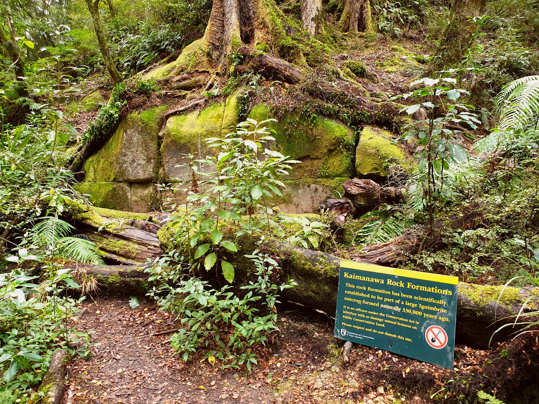
- Route-specific reusable photos for Kiko Loop, Ngapuketurua, Te Iringa, Oamaru Hut, and Cascade Hut are not on Commons; the current figures use range-scale Kaimanawa imagery and Clements Mill Road’s Kaimanawa Wall.
- Explicit GPX/KML files and reuse terms for the Te Iringa, Oamaru, and Cascade routes are still wanted.
- Clements Mill Road and Kiko Road access conditions should be rechecked before any trip.
- Private-land permission for any Ngapuketurua or Cascade extension beyond the public access boundaries must be confirmed with Helisika.