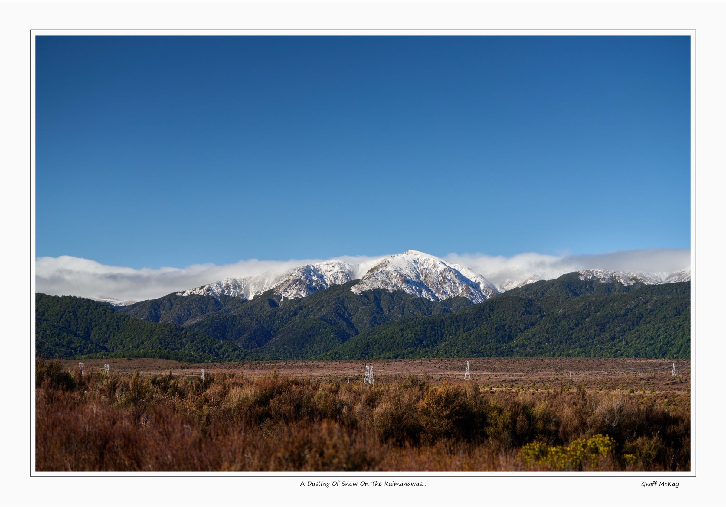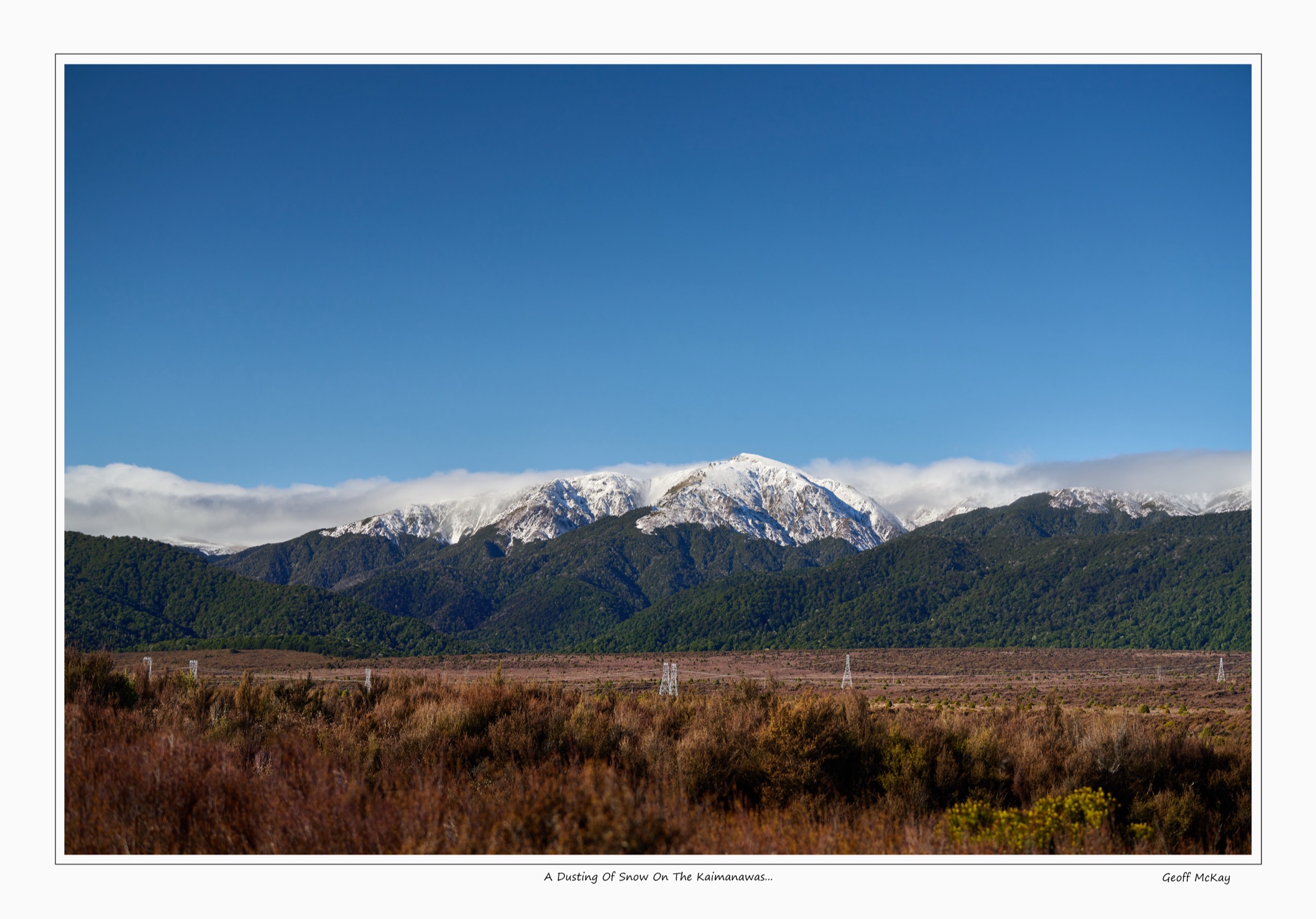
Regional overview
The southern end of Kaimanawa Forest Park is the exposed, remote side of the range: Desert Road access off SH1, army-boundary corridors above Otamateanui Stream, the long Waipakihi River valley, high tussock tops and the Rangitīkei headwaters. The park as a whole covers roughly 77,000 ha east of Tongariro National Park, and the southern sector takes in the most committing country — long valley travel, untracked tops, and few formed tracks linking trailheads to objectives. The Department of Conservation (DOC) is explicit that most of this terrain is for experienced tramping parties rather than casual day-walkers.
Access is dominated by a small number of corridors. The Southern Access Corridor leaves SH1 near the Desert Road summit area and crosses the legal alignment between New Zealand Defence Force training land and the Rangitīkei. The Waipakihi Road end, about 38 km south of Tūrangi, opens the Waipakihi Valley toward Waipakihi Hut and the bases of Thunderbolt Track and the Middle Range route. Umukarikari and Urchin tracks add northern and eastern entry points to the same valley system, linking to the northern Kaimanawas and central Kaimanawas catalogues. None of these are short roadside loops.
The walking season is bracketed by snow on the tops, river flow in the valleys, and military activity on the boundaries. The safer window is broadly December to April, but Waipakihi River levels can rise quickly on rain and need to be checked before any valley trip. DOC warns repeatedly about the river-crossing hazard, the absence of formed tracks above the bush line, and the speed at which Kaimanawa weather can change. The southern boundary borders private land between Waipakihi Gorge and the Needles Block, and parts of the southern catalogue sit immediately next to NZDF training areas — staying on the marked corridor matters.
Mobile coverage is patchy to absent across most of the southern interior. A Personal Locator Beacon, a topographic map and compass, a downloaded offline base map and an outside-party plan are standard, not optional. Dogs require a DOC permit; hunters are common in valley country, particularly in the Roar. The wider Kaimanawa interior is also habitat for the protected Kaimanawa wild horses on the southern fringe of the forest park — they are not encountered on these specific routes, but trampers should not approach or feed them if seen.
Selection rationale
There are very few conventional single-day walks on the southern Kaimanawa fringe. The five entries below cover the realistic day-scale objectives that DOC publishes, plus one derived shorter variant on the same legal corridor: the full Southern Access Corridor traverse, a turnaround day-walk on the upper part of that corridor, the Waipakihi Valley river route from the road end to Waipakihi Hut, Thunderbolt Track from the Waipakihi River to the bush line, and the Waipakihi Middle Range Route from Waipakihi Hut. Three of the five depend on river travel or hut access rather than a clean road-end start. Each entry is labelled accordingly. RouteGuides is cited only where its main-range traverse overlaps the same country and offers a useful source-geometry reference.
Summary table
| # | Hike | Country | Route type | Distance | Gain | Max elevation | Difficulty |
|---|---|---|---|---|---|---|---|
| 1 | Southern Access Corridor full traverse | New Zealand | One-way traverse | 26 km | Not verified | Not verified | Expert tramping |
| 2 | Southern Access Corridor to Otamateanui bushline | New Zealand | Out-and-back day variant | Not verified | Not verified | Not verified | Expert tramping |
| 3 | Waipakihi Valley — road end to Waipakihi Hut | New Zealand | River route / hut access | Not verified | Not verified | Not verified | Expert tramping |
| 4 | Thunderbolt Track from Waipakihi River to bushline | New Zealand | Remote out-and-back stage | 1.3 km (route only) | Not verified | Bushline below Motutere (1,646 m) | Expert tramping |
| 5 | Waipakihi Middle Range Route | New Zealand | Hut-based out-and-back stage | 820 m (route only) | Not verified | 1,475 m | Expert tramping |
1. Southern Access Corridor full traverse
Snapshot
Itinerary
From the signposted start on SH1, the route follows the legal access corridor south-east toward the bush line above Otamateanui Stream. DOC describes the corridor as poled as far as the bush edge, then descending steeply through beech forest into the Otamateanui system before crossing to the Rangitīkei River. The line stays on the marked alignment between NZ Defence Force training land to the west and private holdings to the east; off-corridor wandering is not permitted. Walkers continuing the full 26 km need to plan an exit vehicle at the Rangitīkei end, as the corridor is one-way rather than a loop.
Why it is essential
This is the defining official southern Kaimanawa day-scale traverse and the only formally published legal route that crosses the range edge from Desert Road to the Rangitīkei in a single day. Nothing else in the southern catalogue links the SH1 side to the Rangitīkei headwaters in a sanctioned way.
Equipment
Full mountain-tramping kit: boots with good lugs, waterproof shell, insulated layer, hat and gloves, map, compass and GPS, food for a long day, water with treatment, headtorch, emergency shelter or bivvy, PLB. River-crossing judgement and route-finding experience in beech forest are assumed.
Hazards and notes
DOC notes that most of the corridor follows the boundary of army land; the marked alignment must be followed and any signed restrictions respected. This is a one-way expert route rather than a formed loop, so vehicle logistics at both ends are part of the plan. Poor visibility, exposure on the upper section, beech-forest navigation on the descent and stream conditions in the Otamateanui are the main hazards. Dogs require a DOC permit.
GPX / route file
| Source | URL | Format / access | Reuse status |
|---|---|---|---|
| DOC — Southern Access Corridor | doc.govt.nz | Official route page | Source reference; no standalone GPX published |
| DOC — Southern Access Corridor online map | doc.govt.nz/map | Source map viewer | Source map only; route extraction rights not confirmed |
| RouteGuides — Kaimanawa main range traverse | routeguides.co.nz | Route guide with downloadable GPX | Secondary source; reuse licence not confirmed |
Further reading
- DOC — Southern Access Corridor
- DOC — Kaimanawa Forest Park
- RouteGuides — Kaimanawa main range traverse
2. Southern Access Corridor to Otamateanui bushline
Snapshot
Itinerary
Follow the poled Southern Access Corridor from SH1 toward the bush line above Otamateanui Stream. The sensible day-walk turnaround is at or just before the top of the steep beech-forest descent into the Otamateanui — beyond that point, the line drops quickly and committing to it implies the full traverse with an exit vehicle. Returning by the same poled alignment back to SH1 keeps the trip inside a single road-end day.
Why it is essential
Because the southern Kaimanawas have so few conventional day routes, this is the most practical legal way to sample the high southern corridor and the upper Otamateanui edge without committing to the full 26 km point-to-point. It pairs honestly with hike 1: the same official corridor, used at day scale rather than as a full traverse.
Equipment
Mountain day-tramping kit: boots, waterproof shell, insulated layer, map and compass with offline base map, food, water with treatment, headtorch, emergency shelter, PLB. Visibility tools matter even on the shorter version because the corridor sits next to NZDF land.
Hazards and notes
This is presented as a derived day variant rather than a DOC-named walk. DOC has no published bushline-return distance or turnaround statistic, so trampers need to read the corridor on the ground and make their own decision. The same NZ Defence Force boundary constraint applies — stay on the marked alignment. Weather can change quickly on the open upper section.
GPX / route file
| Source | URL | Format / access | Reuse status |
|---|---|---|---|
| DOC — Southern Access Corridor | doc.govt.nz | Official route page | Source reference; no standalone GPX published |
| DOC — Southern Access Corridor online map | doc.govt.nz/map | Source map viewer | Source map only; route extraction rights not confirmed |
Further reading
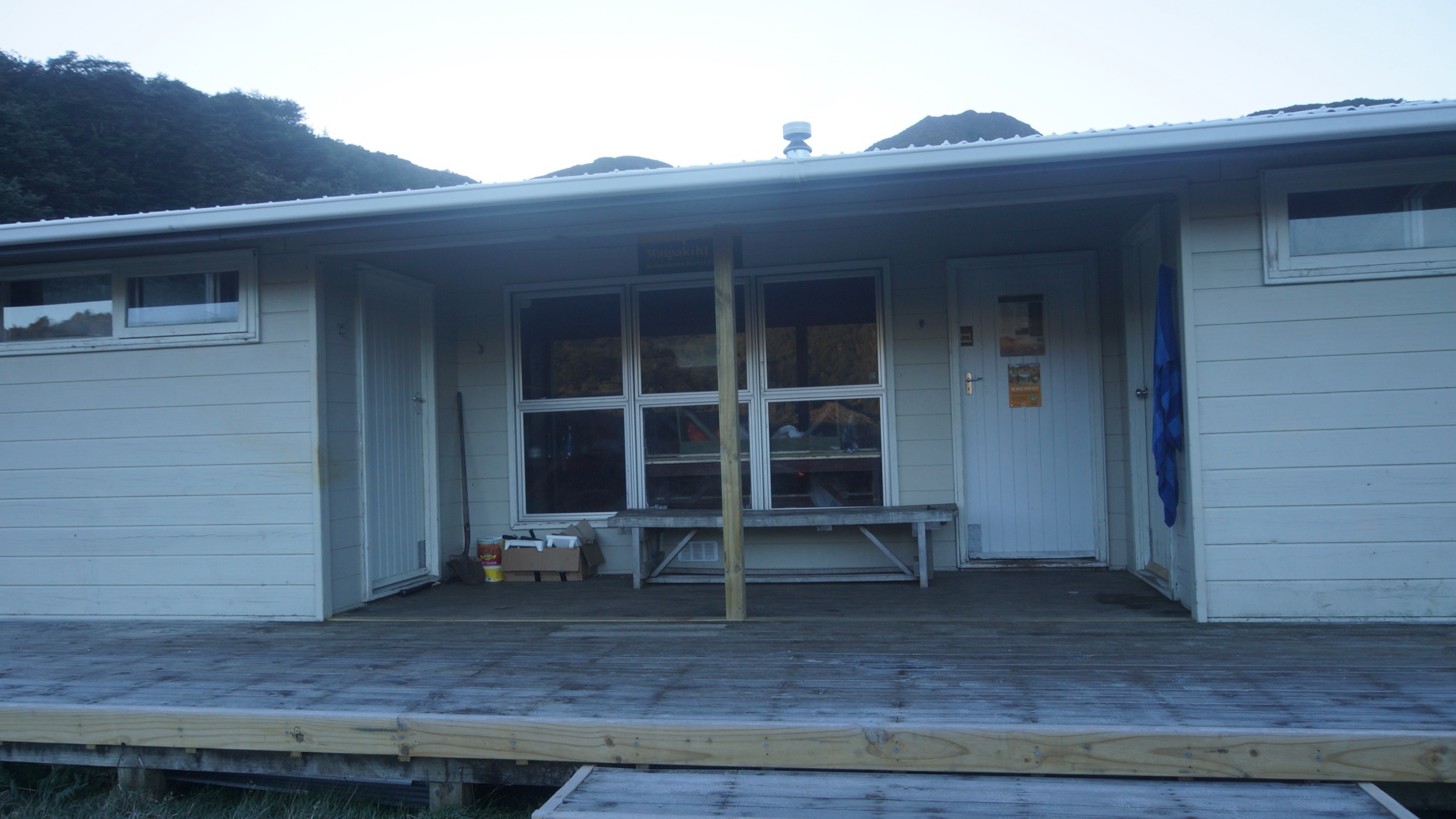
3. Waipakihi Valley — road end to Waipakihi Hut
Snapshot
Itinerary
From the Waipakihi Road end, travel up the Waipakihi River valley toward Waipakihi Hut. DOC describes this as a no-defined-track route with frequent river crossings, used by hunters and summer trampers when river levels allow. The line stays close to the river through the valley, with the choice of crossings, gravel bars and side benches dictated by flow on the day. Most parties treat the road-end-to-hut leg as a one-way day with an overnight at the hut, rather than a same-day return.
Why it is essential
The Waipakihi Valley is the main southern Kaimanawa access corridor and the gateway to Waipakihi Hut, Thunderbolt Track, the Middle Range route and the main-range tops. Without this valley leg, the rest of the southern interior is effectively closed to road-end parties.
Equipment
Full river-tramping kit: boots that drain, waterproof shell, insulated spare layer in a dry bag, map and compass, food, water with treatment, headtorch, emergency shelter, PLB. River-crossing experience is essential — this is not a route to learn the technique on.
Hazards and notes
DOC warns that Waipakihi River levels can rise quickly and recommends checking flow information before committing. The route has no formed track and many crossings; a single heavy rain band can shut it down. DOC’s wider park notes also flag private-land constraints on the southern bank below Waipakihi Gorge to Waikato Stream and on the Needles Block — keep to the route and respect signage. Cell coverage is unreliable to absent.
GPX / route file
| Source | URL | Format / access | Reuse status |
|---|---|---|---|
| DOC — Waipakihi Valley (Waipakihi Road end to Waipakihi Hut) | doc.govt.nz | Official route page | Source reference; no standalone GPX published |
| RouteGuides — Kaimanawa main range traverse | routeguides.co.nz | Route guide with downloadable GPX, partially overlapping the Waipakihi Valley | Secondary source; partial overlap; reuse licence not confirmed |
Further reading
- DOC — Waipakihi Valley route
- DOC — Kaimanawa Forest Park access notes
- RouteGuides — Kaimanawa main range traverse
4. Thunderbolt Track from Waipakihi River to bushline
Snapshot
Itinerary
From the true left of the Waipakihi River, the route climbs a short, steep ridge up the south-east flank of Motutere. DOC says the marked line ends at the bush edge; above that, there are no tracks or poles on the tops. The published 1.3 km figure is the marked stage only, so total day distance depends on which valley approach is used to reach the start.
Why it is essential
Thunderbolt is the official southern Kaimanawa link from the Waipakihi Valley toward the main-range tops, and one of the few named route objectives in this remote sector. It belongs in the catalogue as an access-stage piece rather than a standalone road-end day walk.
Equipment
Full off-track tramping kit: boots, waterproof shell, warm spare layer, map and compass with topographic offline map, food, water with treatment, headtorch, emergency shelter, PLB. Pole-and-marker discipline and river judgement are assumed on the approach.
Hazards and notes
The published distance does not include getting to the start of the route. Access involves river-valley travel and route finding; above the bush line, navigation becomes unmarked tops travel and is not part of the published Thunderbolt route. Treat the line as a stage within a longer Waipakihi-based trip, not a stand-alone outing.
GPX / route file
| Source | URL | Format / access | Reuse status |
|---|---|---|---|
| DOC — Thunderbolt Track | doc.govt.nz | Official route page | Source reference; no standalone GPX published |
| DOC — Thunderbolt Track online map | doc.govt.nz/map | Source map viewer | Source map only; route extraction rights not confirmed |
| RouteGuides — Kaimanawa main range traverse | routeguides.co.nz | Route guide with downloadable GPX, partially overlapping the Thunderbolt area | Secondary source; partial overlap; reuse licence not confirmed |
Further reading
5. Waipakihi Middle Range Route
Snapshot
Itinerary
From Waipakihi Hut, the route drops down to the Waipakihi River, then follows markers downstream to the bush edge. From there it climbs steeply through bush to the bush line around 1,300 m, continuing to the route high point at 1,475 m on the Middle Range. Return is the same way unless the party is continuing into untracked tops country with a separate plan.
Why it is essential
This is the official hut-based southern route onto the Middle Range — short on paper, but important as a named gateway from Waipakihi Hut to the higher Kaimanawa interior, and a logical day objective from a hut-based base.
Equipment
Full off-track / tops tramping kit: boots, waterproof shell, insulated layer, hat and gloves, map and compass with topographic offline map, food, water with treatment, headtorch, emergency shelter, PLB. Treat as an alpine day stage even though the marked distance is short.
Hazards and notes
DOC says the route is for experienced trampers and hunters, and that there are no formal tracks or routes beyond the Middle Range tops. The 820 m route length excludes the demanding journey to reach Waipakihi Hut in the first place, so the day’s effort is dominated by hut access. Weather changes on the tops can be very fast.
GPX / route file
| Source | URL | Format / access | Reuse status |
|---|---|---|---|
| DOC — Waipakihi Middle Range Route | doc.govt.nz | Official route page | Source reference; no standalone GPX published |
| RouteGuides — Kaimanawa main range traverse | routeguides.co.nz | Route guide with downloadable GPX, partially overlapping the main-range tops | Secondary source; partial overlap; reuse licence not confirmed |
Further reading
Further reading
| Source | URL |
|---|---|
| DOC — Kaimanawa Forest Park | doc.govt.nz |
| DOC — Southern Access Corridor | doc.govt.nz |
| DOC — Waipakihi Valley | doc.govt.nz |
| DOC — Thunderbolt Track | doc.govt.nz |
| DOC — Waipakihi Middle Range Route | doc.govt.nz |
| RouteGuides — Kaimanawa main range traverse | routeguides.co.nz |
| Wikimedia Commons — Category: Kaimanawa Forest Park | commons.wikimedia.org |
| Wikipedia — Kaimanawa Forest Park | en.wikipedia.org |