Regional overview
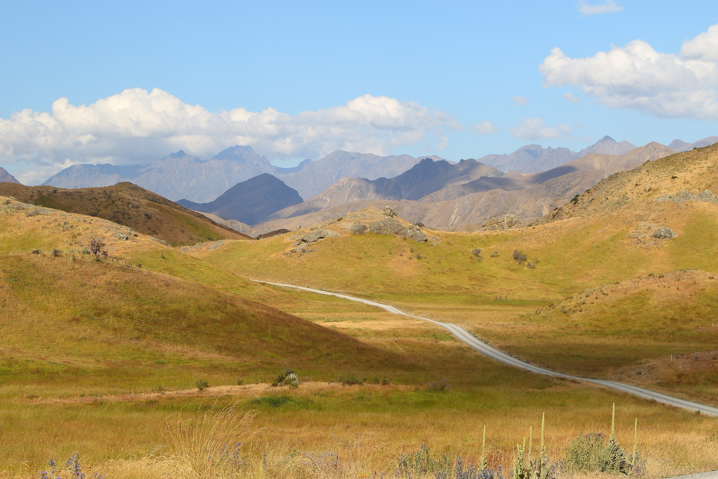
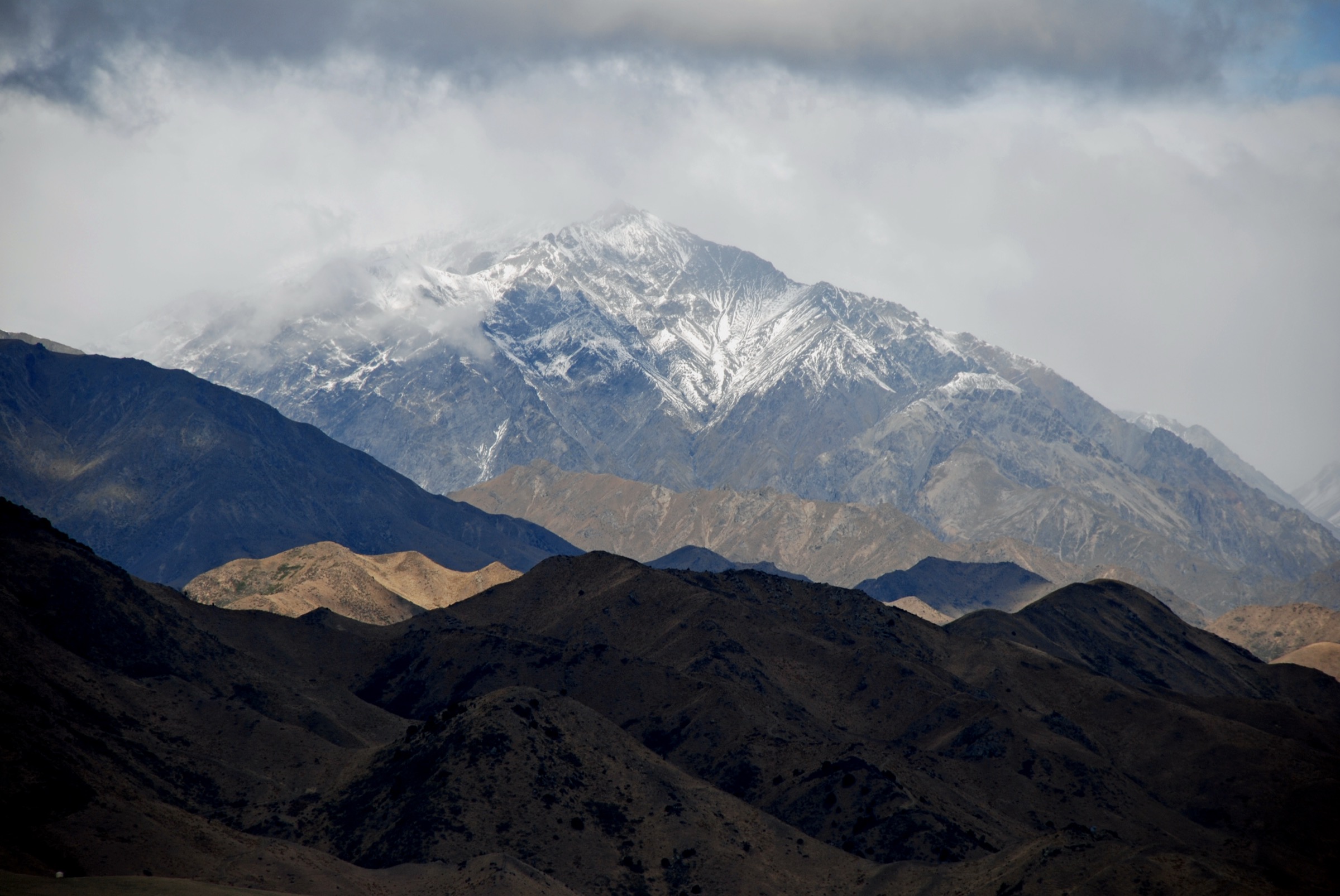
The Seaward Kaikōura Range rises abruptly from the north Canterbury coast, with the sea at its base and Mt Fyffe (1,602 m) as its best-documented public walking gateway. The range’s steep, forested lower flanks give way to open tussock and rock above the bushline, and its front peaks look directly out over Kaikōura, the peninsula and — on clear days — Banks Peninsula and the North Island. The Mt Fyffe Conservation Area, reached from a car park about 15 km inland from Kaikōura via Ludstone, Swamp and Postman’s Roads, holds the two Mt Fyffe day-walk objectives and the short Hinau Track. The Kaikōura Peninsula Walkway below the range gives the best long view back to the escarpment.
The walking character is honest about its exposure. The Mt Fyffe climb runs up a 4WD service track on the long south-west ridge — steep, loose in places, hot in summer and unshaded above the bushline. DOC warns explicitly that the Seaward Kaikōuras and Mt Fyffe should not be taken lightly: weather changes quickly, the ridge is exposed, and snow, ice or high wind can make the route unsuitable for ordinary walkers. Below the treeline the Hinau Track and Peninsula Walkway are easy walking-track ground, with slip and clifftop cautions on the coastal sections.
Public day-walk inventory in the higher Seaward Kaikōura Range is limited. Beyond the Mt Fyffe corridor most of the range sits inside the wider Kowhai–Hapuku Circuit, a DOC-verified 2–3 day expert route with unbridged river crossings. A short lower-Kowhai section is included below as a day-section candidate rather than a promoted casual day walk. Sawcut Gorge and the Isolated Hill Scenic Reserve were checked and excluded — DOC’s current Isolated Hill access notes warn that gorge access is not recommended and the track is no longer maintained.
Best season is roughly late November to April for the summit and hut routes, with October–May workable for the hut return in settled conditions. Winter and post-storm conditions should be treated as more serious. Standard equipment for the ridge is mountain kit — sturdy boots, waterproof shell, warm layers, warm hat and gloves, map and compass or offline GPS, headlamp, food, water and a Personal Locator Beacon. The lower routes need less exposure kit but the same water margin — the ridge is hot in summer and there is no reliable water above the bushline. Dogs require a DOC permit in the Mt Fyffe Conservation Area.
Selection rationale
Five day-scale routes are presented across the Seaward Kaikōura Range. The Mt Fyffe Summit via Mt Fyffe Hut is the signature range climb from sea-level Kaikōura country to the high ridge; the Mt Fyffe Hut out-and-back gives the same objective at a lower commitment for walkers who don’t want the full summit day; the Hinau Track is the short forest loop from the Mt Fyffe car park that pairs with either high-level day; the Kaikōura Peninsula Walkway is the range-edge coastal walk that reads the whole Seaward Kaikōura escarpment from below; and the Kowhai River day-section off the Kowhai–Hapuku circuit represents the wilder river-valley side of the range. The full Kowhai–Hapuku traverse, Sawcut Gorge and any un-verified summit extensions sit outside this day-hike entry.
Summary
| # | Hike | Trailhead | Route type | Distance | Gain | Max elevation | Difficulty |
|---|---|---|---|---|---|---|---|
| 1 | Mt Fyffe Summit via Mt Fyffe Hut | Mt Fyffe car park | Out-and-back | 14–18 km | 1,417 m | 1,602 m | Hard |
| 2 | Mt Fyffe Hut out-and-back | Mt Fyffe car park | Out-and-back | 11.4 km | 909 m | 1,097 m | Hard |
| 3 | Hinau Track | Mt Fyffe car park | Loop | 0.8–1.0 km | 79 m | 282 m | Easy |
| 4 | Kaikōura Peninsula Walkway | Kaikōura town / Point Kean / South Bay | Loop or linked walkway | up to 12.9 km | 239 m | 57 m | Easy–Moderate |
| 5 | Kowhai River day-section (from Kowhai–Hapuku circuit) | Mt Fyffe car park / Kowhai Hut | Point-to-point section | 9.3 km | 62 m (descent section) | 491 m | Moderate for the section; expert for the full circuit |
1. Mt Fyffe Summit via Mt Fyffe Hut
Snapshot
Itinerary
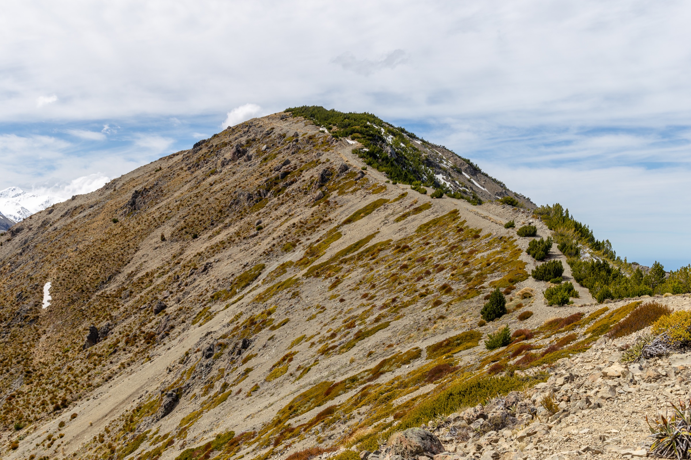
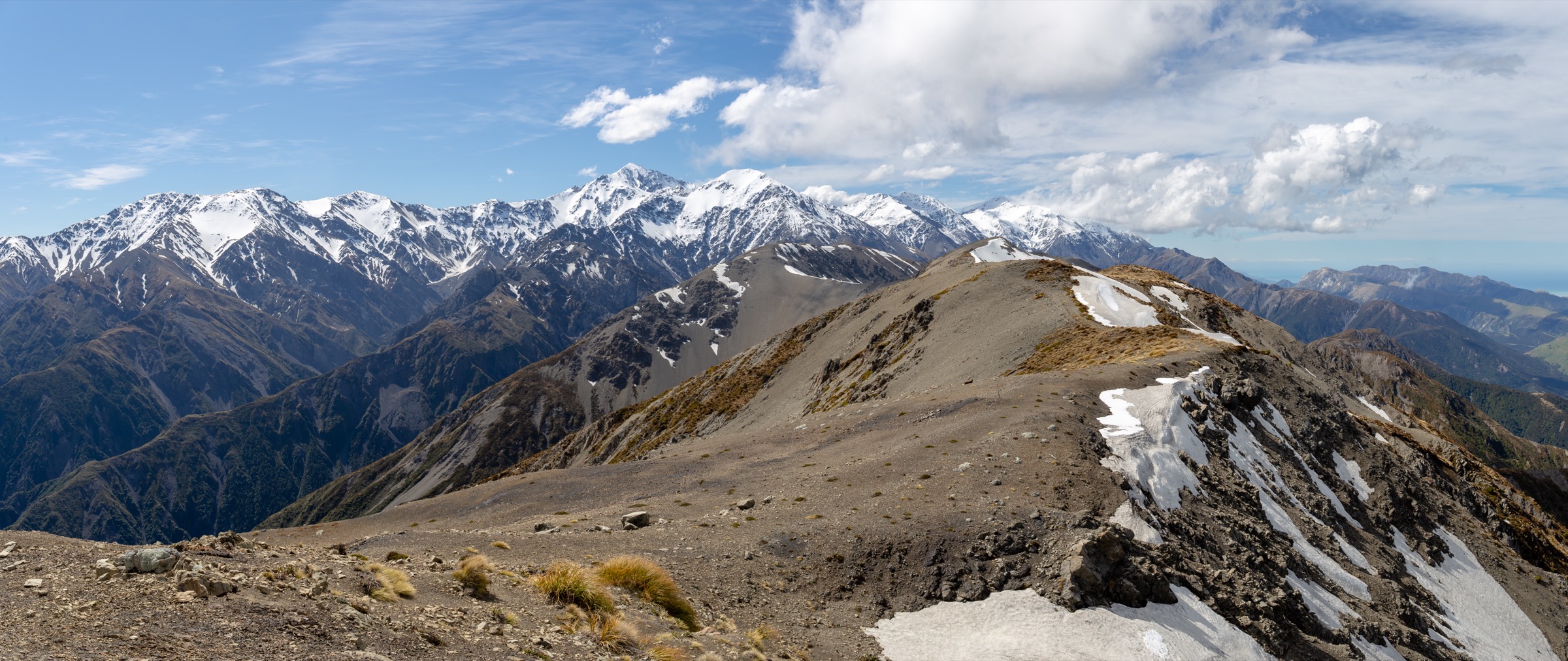
From the Mt Fyffe car park, follow the 4WD track up the long south-west ridge past forest and through open tussock to Mt Fyffe Hut at ~1,100 m. Continue on the exposed summit ridge to the Mt Fyffe summit at 1,602 m. Return by the same track. On clear days the summit views reach south to Banks Peninsula and north toward the Cook Strait country.
Why it is essential
This is the signature Seaward Kaikōura summit walk — the clearest public route from sea-level Kaikōura country to the high ridge of the range. There is no other regularly maintained public track that reaches this altitude on the Seaward Kaikōuras.
Equipment
- Sturdy tramping boots with good ankle support
- Waterproof and windproof shell, warm mid-layer, spare warm layer
- Warm hat and gloves
- Trekking poles help on the steep 4WD track
- Map and compass, and offline GPS
- Headlamp with spare batteries — long day, headlamp finish possible
- 3 L water minimum — no reliable water above the bushline
- Sun protection — the upper ridge is unshaded
- Personal Locator Beacon
- First-aid kit
Hazards and notes
- Weather changes quickly — DOC warns Mt Fyffe should not be taken lightly
- Exposed summit ridge — high wind, snow and ice can make the route unsuitable for ordinary walkers
- No shade and no water above the bushline — heatstroke risk in summer
- Loose gravel on the 4WD track — poles help both ascent and descent
- Vehicles are not permitted beyond the car park
- Dogs require a DOC permit in the Mt Fyffe Conservation Area
2. Mt Fyffe Hut out-and-back

Snapshot
Itinerary
From the Mt Fyffe car park, follow the 4WD track up the long south-west ridge to Mt Fyffe Hut at ~1,100 m. Return by the same track. This is the classic Mt Fyffe day objective for walkers who want the open range views without committing to the full summit.
Why it is essential
It is the most practical high-level day hike in the Seaward Kaikōuras — a steep climb to an open hut with panoramic views over the peninsula and coast, without the summit-ridge exposure and 3–4 extra hours of the full summit day.
Equipment
- Sturdy tramping boots
- Waterproof shell, warm mid-layer
- Warm hat and gloves for the upper section
- Map, compass and offline GPS
- Headlamp with spare batteries
- 2.5 L water minimum
- Sun protection
- Personal Locator Beacon
Hazards and notes
- Steep 4WD track — 909 m of gain over 5.7 km on the ascent
- Loose gravel on the track — poles help
- Wind, heat and sudden cold are normal concerns on the upper section
- Dogs require a DOC permit in this area
- Hut booking and fee knowledge is required only for overnight stays; day returns do not book
3. Hinau Track
Snapshot
Itinerary
From the Mt Fyffe car park, the Hinau Track makes a short forest loop through hīnau, māhoe, putaputawētā, broadleaf, tree fuchsia, pigeonwood and kānuka. DOC notes an unbridged stream crossing that is usually easy to negotiate.
Why it is essential
It is the short, family-suitable forest counterpoint to the exposed Mt Fyffe climb — the easiest verified walk genuinely attached to the Mt Fyffe trailhead, and a natural warm-up or wind-down for parties heading up the summit or hut track.
Equipment
- Walking shoes or trail runners
- Rain shell
- Water and a snack
- Normal day-walk basics
Hazards and notes
- Unbridged stream can become unsafe after rain
- Dogs require a DOC permit in the Mt Fyffe Conservation Area
- Check the Mt Fyffe car park signage for current DOC alerts
4. Kaikōura Peninsula Walkway
Snapshot
Itinerary
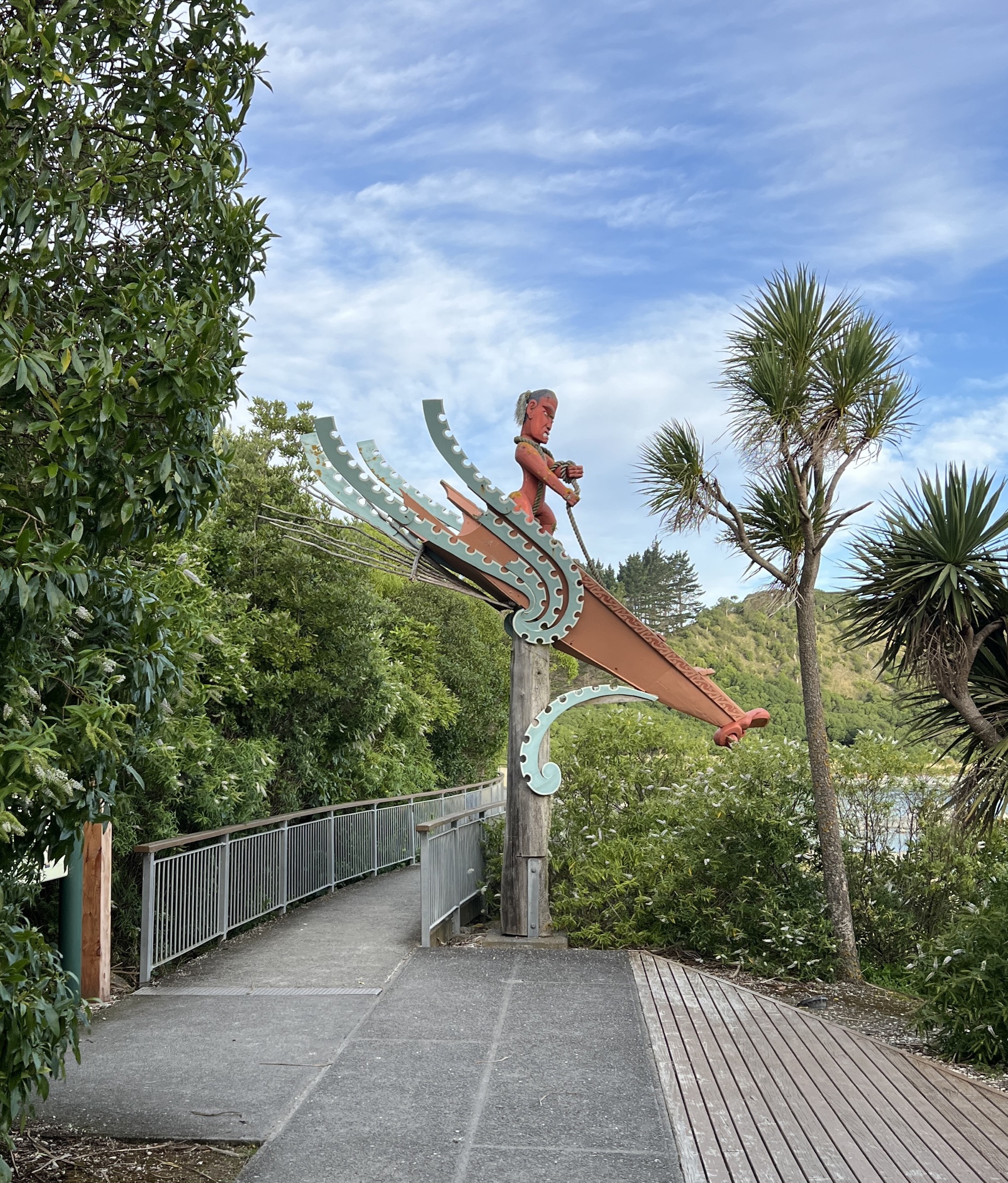
Use the DOC-signposted Kaikōura Peninsula Walkway sections to link the town centre, Point Kean, the Whalers Bay viewpoints, the South Bay viewpoint and South Bay. The elevated clifftop line gives broad views back to the full Seaward Kaikōura escarpment; the lower alternatives, where open, give marine terraces, rock platforms and wildlife.
Why it is essential
Although coastal, this is the most accessible public walk for reading the Seaward Kaikōura escarpment from below — the only route that puts the whole range in one continuous view and pairs it with the peninsula’s marine landscape.
Equipment
- Walking shoes
- Sun and wind protection
- 1–1.5 L water
- Tide awareness for any lower-level shoreline choices
- Rain shell
Hazards and notes
- Clifftop fall risk — stay on formed tracks
- Rockfall on some sections below the cliffs
- Wildlife hazards — respect signage and distance rules around seals and seabirds
- Whalers Bay lower coastal section was flagged closed as of February 2026 — check the DOC page before using the low-level line
- Slips can affect individual sections at short notice
5. Kowhai River day-section (from the Kowhai–Hapuku circuit)
Snapshot
Itinerary
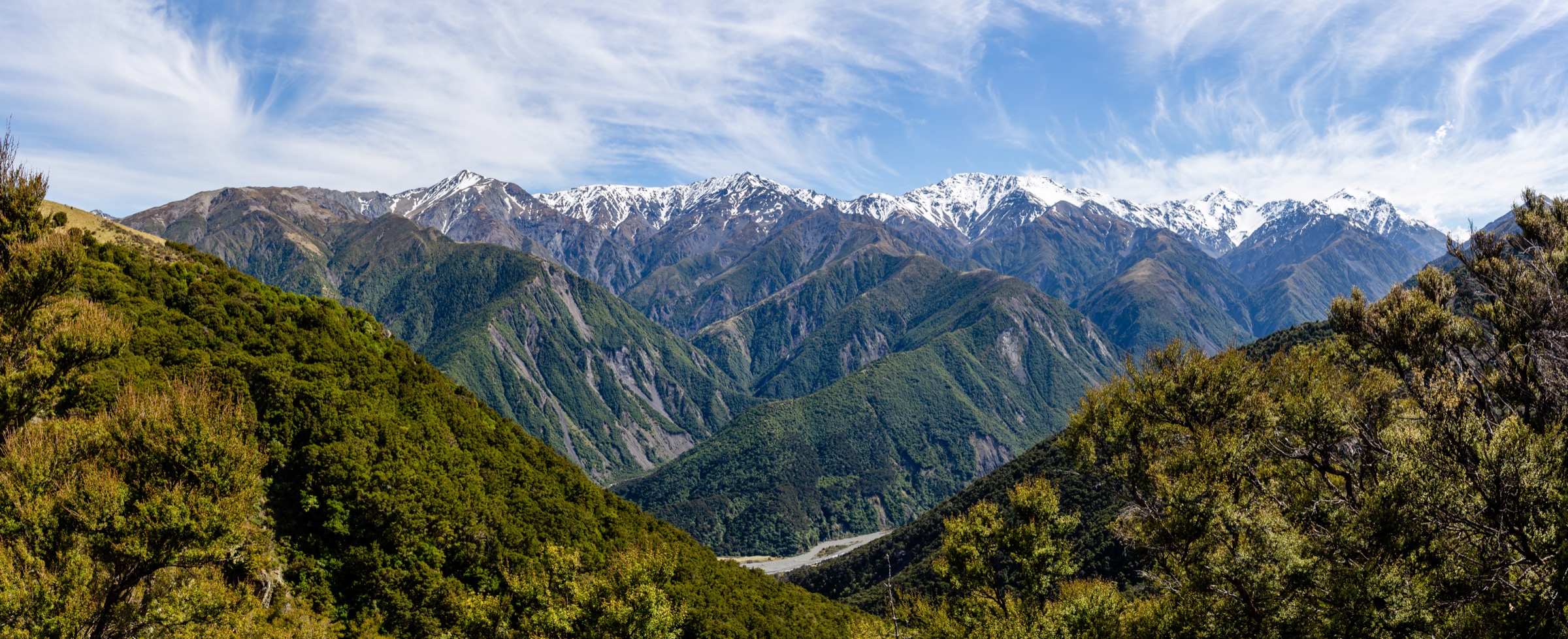
The lower Kowhai section follows the Kowhai River between Kowhai Hut and the Mt Fyffe car park end of the DOC-verified Kowhai–Hapuku Circuit. Expect riverbed travel, boulders, regenerating bush sections and multiple unbridged river crossings. This entry should be read as a day-section candidate from a multi-day route rather than a promoted casual day walk — the wider circuit is an expert 2–3 day trip and no clean out-and-back day variant is currently verified.
Why it is essential
It represents the wilder river-valley side of the Seaward Kaikōuras and prevents the range from being reduced to the Mt Fyffe vehicle-track ridge. For fit, experienced parties with river-crossing judgement, the lower section gives a genuine Kaikōura backcountry sample.
Equipment
- Backcountry tramping kit — boots, waterproof shell, warm layers
- River-crossing judgement and technique
- Map, compass and offline GPS
- Headlamp with spare batteries
- 2 L water and food for a long day
- Personal Locator Beacon
- First-aid kit
Hazards and notes
- Unbridged river crossings can become impassable and dangerous after rain
- The full Kowhai–Hapuku Circuit includes expert terrain — do not recast it as a simple day walk
- No clean day itinerary is currently verified — shuttle logistics and hut-based turnaround remain unresolved
- Sawcut Gorge / Isolated Hill area is excluded from this catalogue — DOC’s access notes warn the gorge is not recommended and the track is no longer maintained
Further reading
| Resource | Link |
|---|---|
| DOC — Kaikōura area | doc.govt.nz |
| DOC — Ka Whata Tū o Rākihouia / Clarence Conservation Park | doc.govt.nz |
| DOC — Mt Fyffe Hut / Kowhai Saddle Route | doc.govt.nz |
| DOC — Hinau Track | doc.govt.nz |
| DOC — Kaikōura Peninsula Walkway | doc.govt.nz |
| DOC — Kowhai–Hapuku Circuit | doc.govt.nz |
| DOC — Isolated Hill Scenic Reserve (excluded, current access advice) | doc.govt.nz |
| MetService — Marlborough / Kaikōura regional forecast | metservice.com |
| Wikipedia — Seaward Kaikōura Range | en.wikipedia.org |
| Wikimedia Commons — Kaikōura Ranges | commons.wikimedia.org |