Regional overview
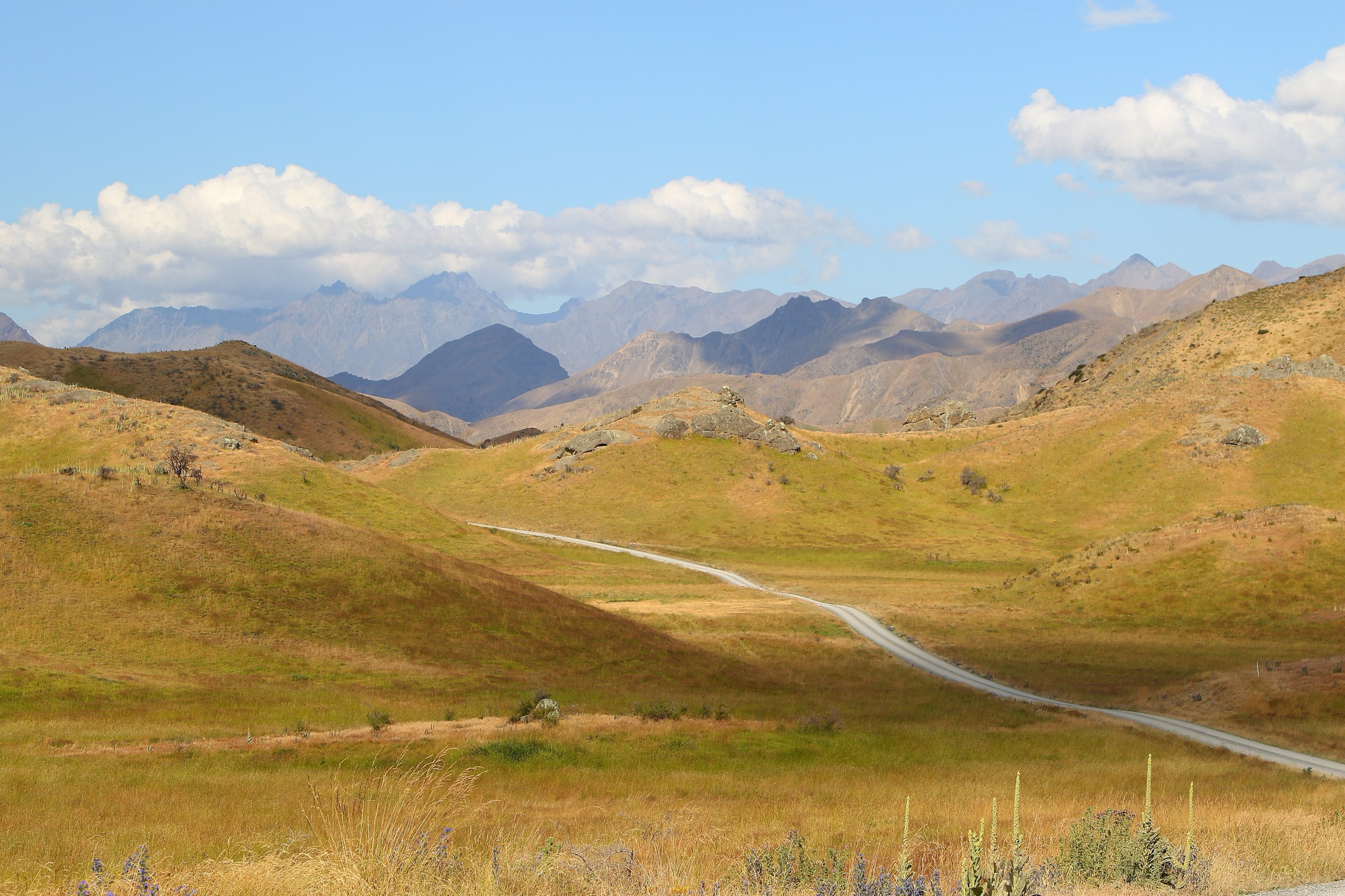
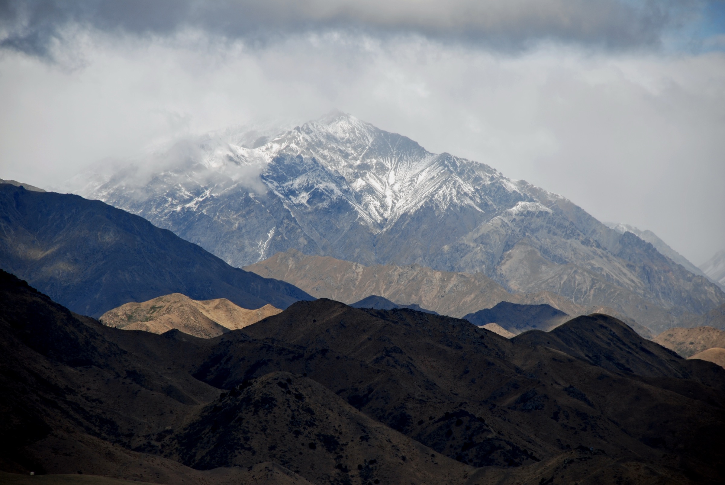
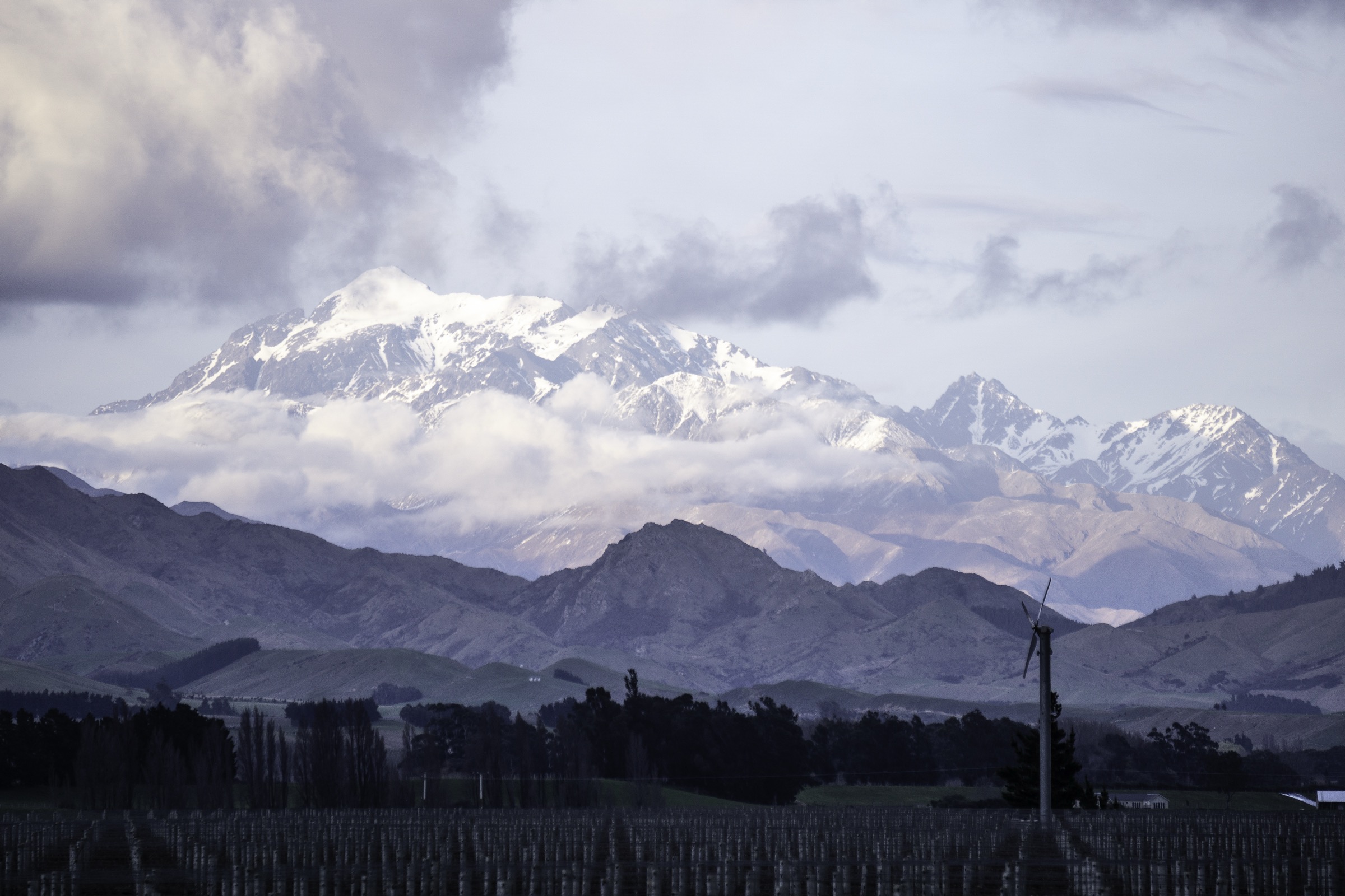
The Inland Kaikōura Range is a long, high, remote range separated from the Seaward Kaikōuras by the Waiau Toa / Clarence valley. It culminates in Tapuae-o-Uenuku, the dominant peak of the Kaikōura Ranges and one of New Zealand’s most prominent non-Southern-Alps mountains.
The important editorial finding for this catalogue entry is that the strict Inland Kaikōura crest does not currently expose five clean, official, road-accessible day-hikes in the sources checked. The crest is dominated by alpine routes, river approaches, private and farm access questions, and multi-day tramping. To keep exactly five records without inventing data, this entry combines one iconic but non-standard Inland Kaikōura summit day from Hodder Huts with four adjacent Molesworth and Lake Tennyson high-country candidates that are sourceable as day walks. The two Lake Tennyson entries also appear in the dedicated Spenser Mountains — Lake Tennyson Sector entry and are retained here to represent the Inland Kaikōura landscape edge without duplicating research.
Catalogue decision
- Tapuae-o-Uenuku from Hodder Huts is the iconic Inland Kaikōura objective, but it is a hut-based alpine day, not a road-end walk. It is included with a clear alpine-skill and access warning.
- Mount Chisholm and Pudding Hill are Molesworth Recreation Reserve routes that sit outside the strict crest but supply the closest sourceable dry-tussock day objectives to the range.
- The two Lake Tennyson entries are retained as representative access-and-approach walks for the wider high country, and are cross-linked to the Lake Tennyson Sector article rather than re-researched here.
- No official DOC walking-track pages were found for entries 2–5; the routes carry secondary-source (AllTrails) route data only.
Summary table
| # | Hike | Route type | Distance | Approx. gain | Max elevation | Difficulty | Verification |
|---|---|---|---|---|---|---|---|
| 1 | Tapuae-o-Uenuku summit from Hodder Huts | Out-and-back from huts | ~11.4 km | ~1,424 m | ~2,849 m (peak commonly 2,885 m) | Strenuous / alpine | Iconic but non-standard day hike |
| 2 | Mount Chisholm Track | Out-and-back | ~7.1 km | ~463 m | ~1,505 m | Hard | Secondary-source Molesworth candidate |
| 3 | Lake Tennyson Campsite to Mount McCabe | Out-and-back / unmarked route | ~7.9 km | ~552 m | ~1,602 m | Hard | Secondary-source; also in Lake Tennyson Sector entry |
| 4 | Pudding Hill Track | Out-and-back | ~9.7 km | ~431 m | ~1,271 m | Hard | Secondary-source Molesworth candidate |
| 5 | Lake Tennyson Campsite Walk | Out-and-back | ~2.3 km | ~24 m | ~1,120 m | Easy | Secondary-source; also in Lake Tennyson Sector entry |
Before you go
Access
All five routes sit inland from State Highway 1, reached via Molesworth or Rainbow Road (Lake Tennyson access), via Awatere Valley / Hodder Valley farm access (Tapuae), or via Acheron Road (Molesworth candidates). Every one of these access corridors is seasonal and can be closed by weather, fire, or land-management decisions. Confirm current DOC Molesworth conditions and any farm-access permissions before travel.
Standard kit
- Alpine tramping kit for Tapuae — helmet judgment for loose rock, ice axe and crampons where snow or ice is present, and full mountaineering experience.
- Mountain hiking kit for the Molesworth and Lake Tennyson candidates — boots, waterproof / windproof shell, warm layer, food, water, map, GPS, and PLB.
- Sun protection, wind protection, and cold-weather layers year-round in this high country.
Common hazards
Remoteness, cold winds, sudden weather change, and low walking traffic are common to all five routes. The Tapuae day adds scree, loose rock, exposure, route-finding, and possible snow / ice on the summit ridge. Do not treat any of these routes as casual walks.
1. Tapuae-o-Uenuku summit from Hodder Huts
Snapshot
Itinerary
From Hodder Huts, the route climbs steep scree and broken rock toward the summit ridge of Tapuae-o-Uenuku. AllTrails describes demanding route-finding, exposed higher ground, rotten rock, and a low margin for error above the ridge. The record is included because Tapuae-o-Uenuku defines the Inland Kaikōura Range; it should be treated with a clear hut-based and alpine-skill warning, not as an ordinary day walk.
Why it is essential
Tapuae-o-Uenuku is the iconic Inland Kaikōura summit and a historically important New Zealand mountain objective — the range is not really representable without it.
Hazards and notes
- Alpine route: scree, loose rock, exposure, route-finding, possible snow and ice, and a long remote approach.
- Access to Hodder Huts crosses private land; permissions and river conditions must be confirmed before travel.
- Do not promote this as a casual hike.
GPX / KML links
| Source | URL | Format | Notes |
|---|---|---|---|
| AllTrails cross-check | alltrails.com | Third-party route page | Secondary geometry / stat comparison only |
| Wikipedia — Tapuae-o-Uenuku | en.wikipedia.org | Background source | Peak context only |
| OpenStreetMap: Tapuae-o-Uenuku | openstreetmap.org | OSM area | ODbL; attribution required |
Further reading
2. Mount Chisholm Track
Snapshot
Itinerary
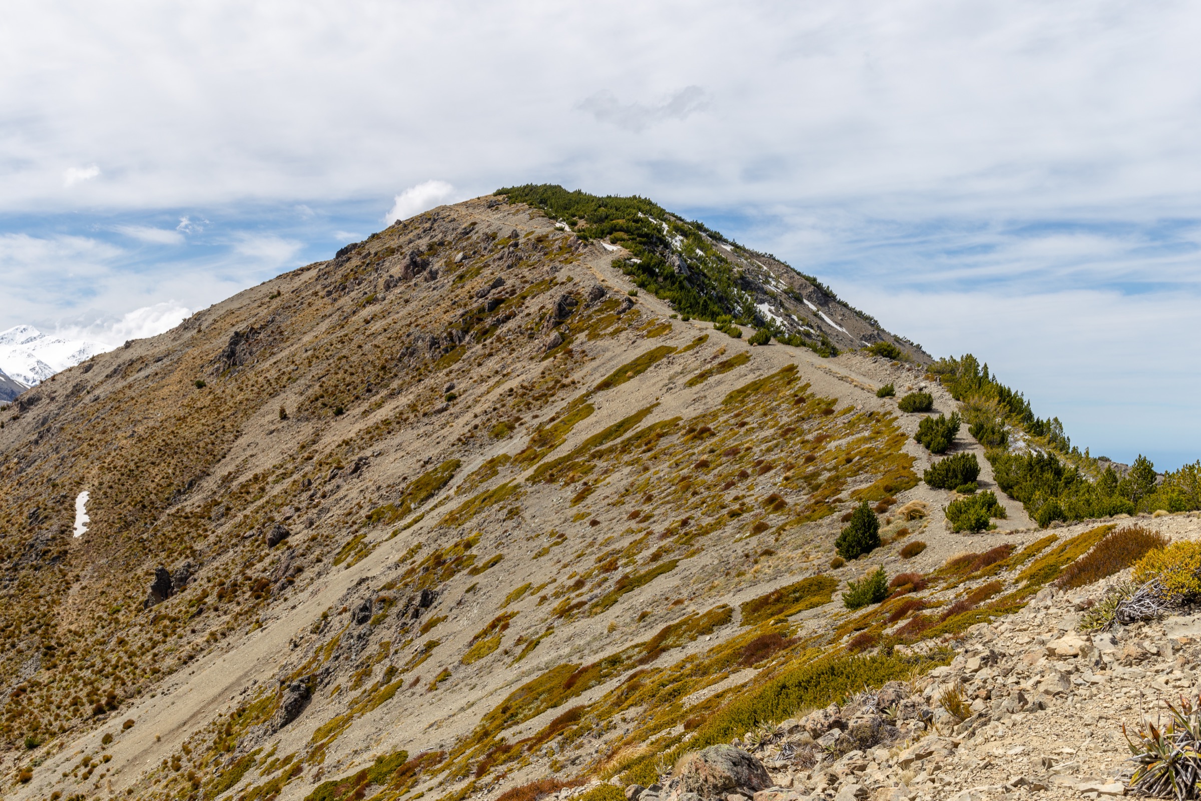
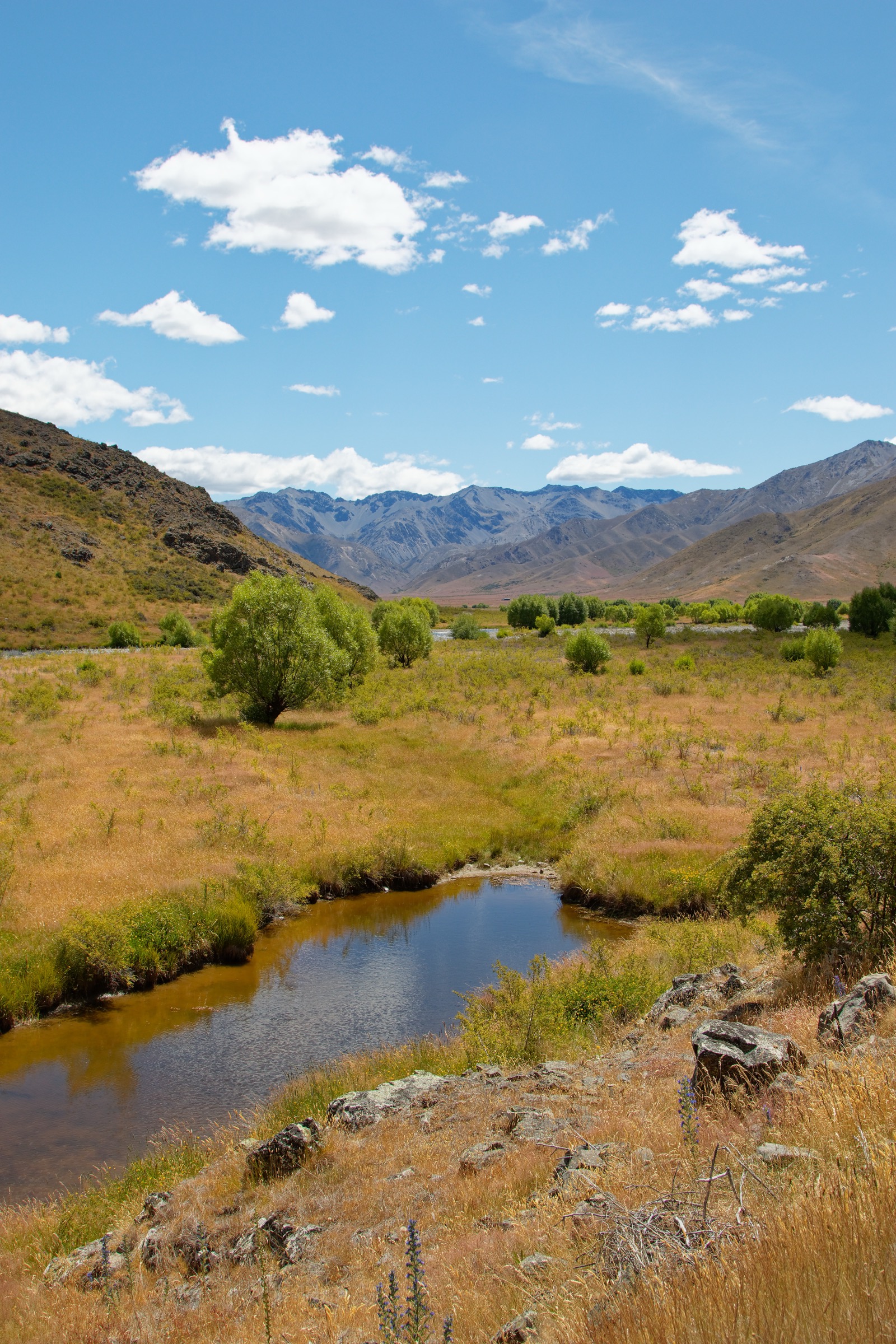
AllTrails identifies Mount Chisholm Track as a 7.1 km out-and-back inside Molesworth Recreation Reserve with open views and very low use. No official DOC track page or GPX / KML file was found in this pass, so the route data should be treated as provisional.
Why it is essential
As a candidate, it represents the dry open-tussock high-country walking style closest to the Inland Kaikōura and Molesworth boundary — one of the more accessible sourceable day ascents in the sector.
Hazards and notes
- Open country, exposure, limited water, sparse traffic, and seasonal road access.
- Treat route geometry as provisional until checked against a legal topographic source.
- Confirm current DOC Molesworth road status before travel.
GPX / KML links
| Source | URL | Format | Notes |
|---|---|---|---|
| AllTrails cross-check | alltrails.com | Third-party route page | Secondary geometry / stat comparison only |
| DOC Molesworth Recreation Reserve | doc.govt.nz | Official place / access context | DOC website terms; no route file found |
| OpenStreetMap: Molesworth | openstreetmap.org | OSM area | ODbL; attribution required |
Further reading
3. Lake Tennyson Campsite to Mount McCabe
Snapshot
Itinerary
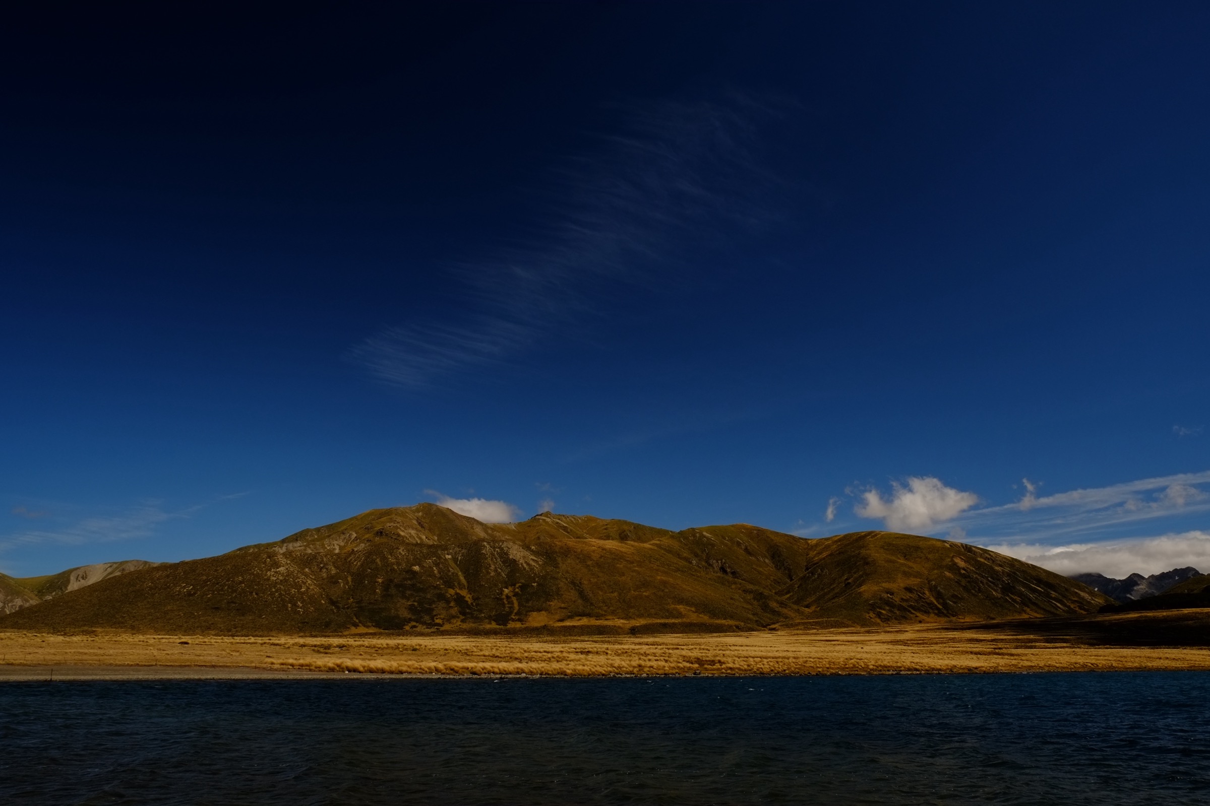
AllTrails describes an unmarked route from the Lake Tennyson campsite through exposed alpine tussock and scree to Mount McCabe, with views over Lake Tennyson and the surrounding high country. See the Lake Tennyson Sector entry for a dedicated write-up of the same route within its Spenser Mountains context.
Why it is essential
The route provides the lake-and-open-tops counterpoint to the Inland Kaikōura crest — a sourceable day ascent in the same broad dry high-country landscape.
Hazards and notes
- Unmarked route, exposed open tops, scree, limited shelter, and remote access.
- Navigation and weather judgment are required.
GPX / KML links
| Source | URL | Format | Notes |
|---|---|---|---|
| AllTrails cross-check | alltrails.com | Third-party route page | Secondary geometry / stat comparison only |
| DOC Molesworth Recreation Reserve | doc.govt.nz | Official access context | DOC website terms |
| Storm — Lake Tennyson Sector | storm.ski article | Sibling catalogue entry | Same route inside a full research pass |
Further reading
4. Pudding Hill Track
Snapshot
Itinerary
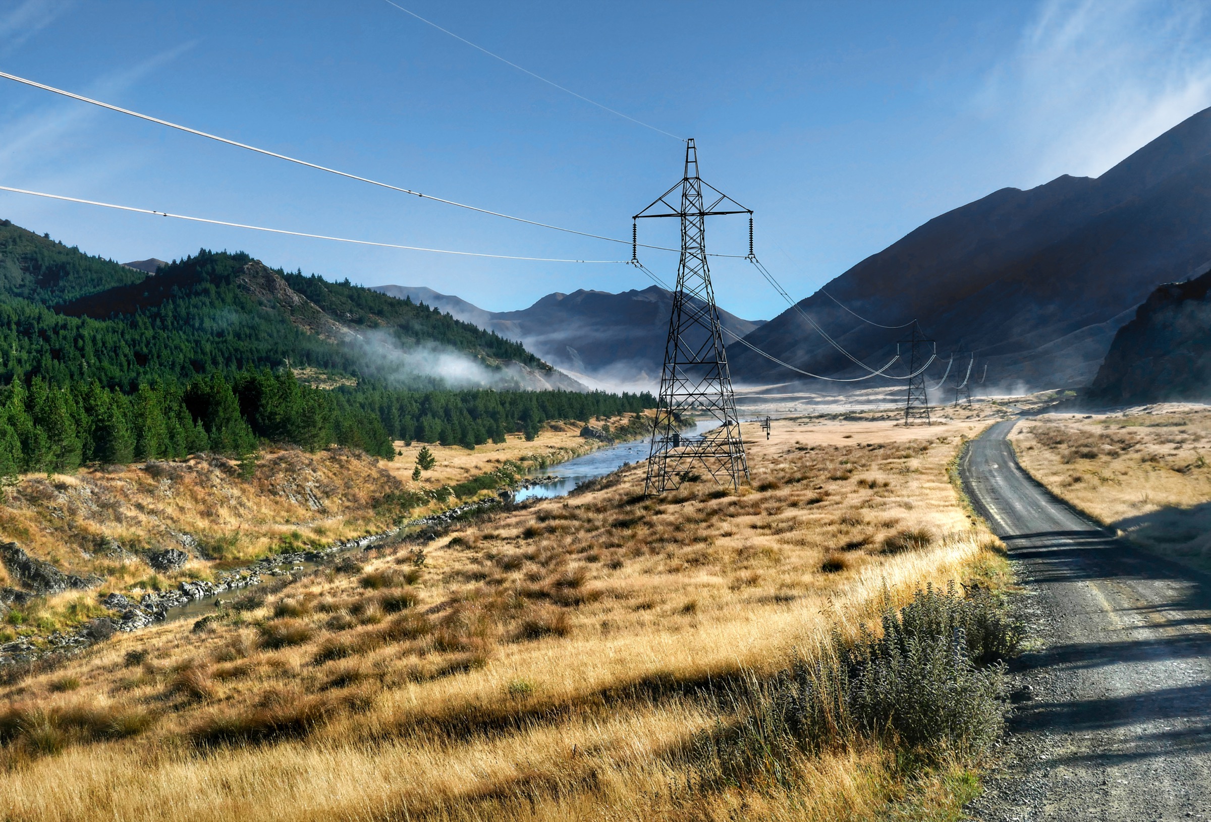
AllTrails describes a marked tramping track to Pudding Hill in Molesworth Recreation Reserve, crossing open high-country terrain with views toward the Acheron River, Waiau Toa / Clarence River, and surrounding ranges. No official DOC track page was found in this pass.
Why it is essential
Pudding Hill is one of the more substantial sourceable day ascents in the Molesworth sector — a practical Inland Kaikōura landscape day that avoids the crest’s alpine commitment.
Hazards and notes
- Exposure, heat, wind, and limited shade.
- Seasonal road closure controls access; confirm before travel.
- Mountain biking may also be present.
GPX / KML links
| Source | URL | Format | Notes |
|---|---|---|---|
| AllTrails cross-check | alltrails.com | Third-party route page | Secondary geometry / stat comparison only |
| DOC Molesworth Recreation Reserve | doc.govt.nz | Official access context | DOC website terms; no route file found |
| OpenStreetMap: Acheron Road / Pudding Hill area | openstreetmap.org | OSM area | ODbL; attribution required |
Further reading
5. Lake Tennyson Campsite Walk
Snapshot
Itinerary
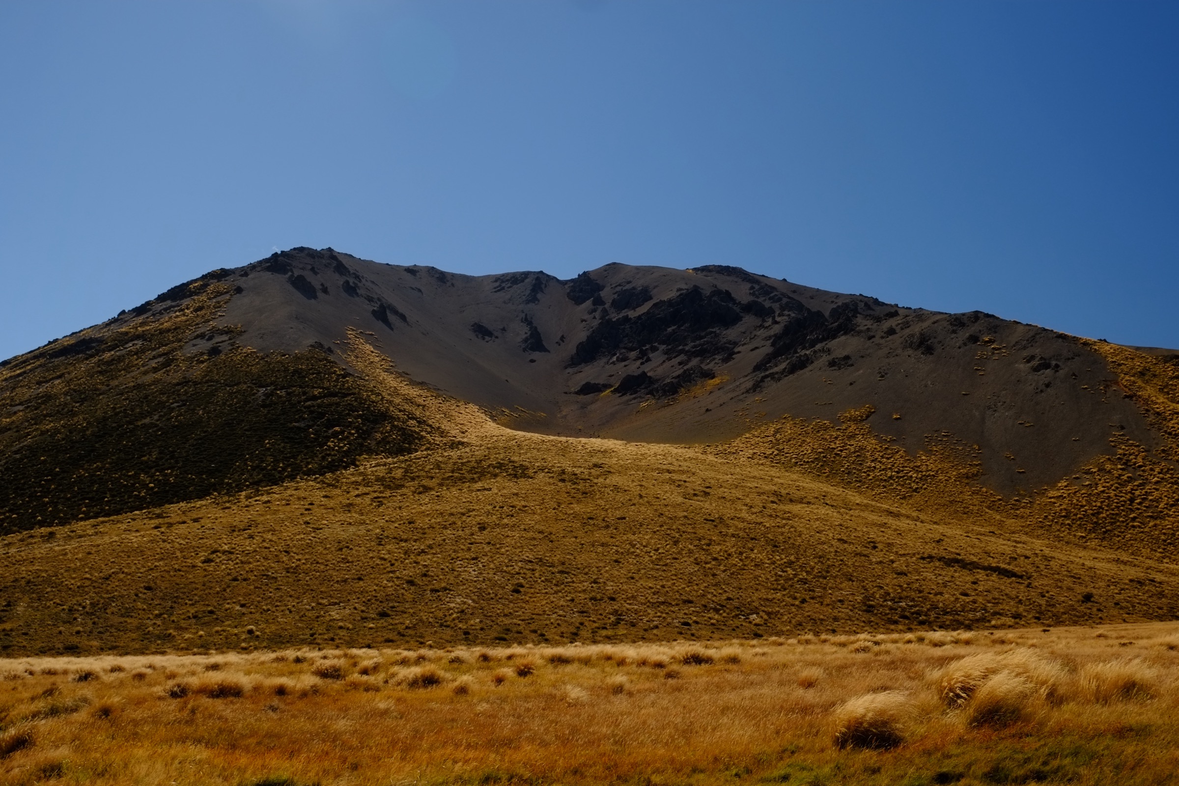
AllTrails describes a short walk from the Lake Tennyson campsite beside the secluded high-country lake, with camping, fishing, river, and lake views. The route is shorter than the normal catalogue target but is included as the accessible lake-shore representative for the sector; see the Lake Tennyson Sector entry for the full write-up in its Spenser Mountains context.
Why it is essential
It provides the compact lake-shore counterpoint to the range’s otherwise severe, route-heavy day-hike inventory.
Hazards and notes
- Remote setting, changeable high-country weather, cold wind, and seasonal road access.
- Treat the exact walked line as provisional until mapped from a legal source.
GPX / KML links
| Source | URL | Format | Notes |
|---|---|---|---|
| AllTrails cross-check | alltrails.com | Third-party route page | Secondary geometry / stat comparison only |
| DOC Molesworth Recreation Reserve | doc.govt.nz | Official access context | DOC website terms |
| Storm — Lake Tennyson Sector | storm.ski article | Sibling catalogue entry | Full research pass on the same walk |
Further reading
Verification notes
- Tapuae-o-Uenuku is an alpine mountaineering objective, not a road-end day walk; the record is retained because the range is not fairly representable without it.
- Entries 2–5 carry secondary-source (AllTrails) route data only; no official DOC track page or GPX / KML file was found.
- Entries 3 and 5 also appear in the Lake Tennyson Sector entry; they are cross-linked rather than re-researched here.
- Access rules for the Hodder Huts approach and for the Molesworth trailheads should be confirmed with DOC and the relevant land managers before travel.
Further reading
| Source | URL |
|---|---|
| DOC Molesworth Recreation Reserve | doc.govt.nz |
| Storm — Lake Tennyson Sector, Spenser Mountains | storm.ski article |
| Wikipedia — Tapuae-o-Uenuku | en.wikipedia.org |
| Wikipedia — Kaikōura Ranges | en.wikipedia.org |
| Wikipedia — Inland Kaikoura Range | en.wikipedia.org |
| Wikipedia — Molesworth Station | en.wikipedia.org |