Regional overview
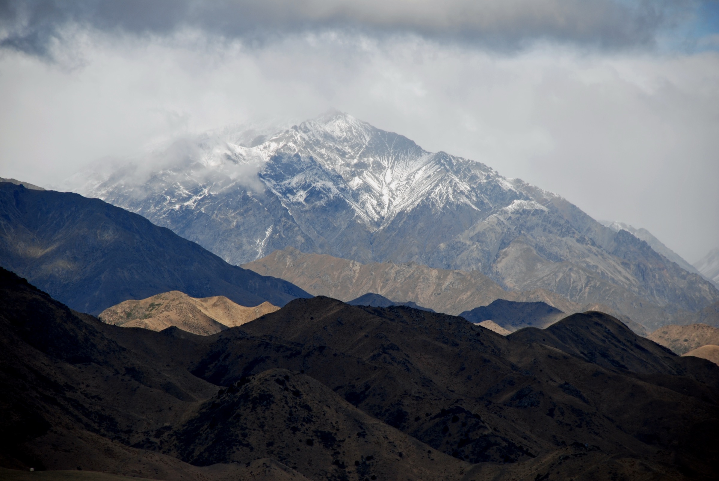
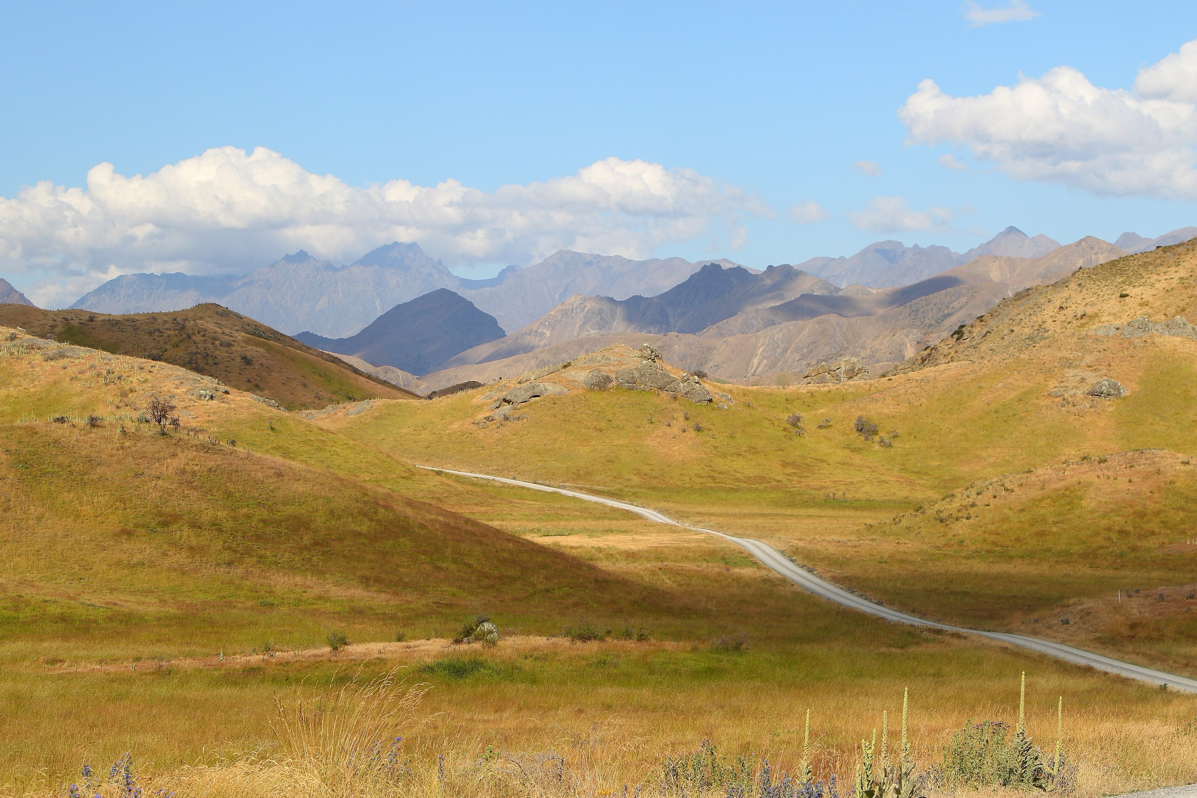
The Clarence Valley sector follows the Waiau Toa / Clarence corridor between the Seaward and Inland Kaikōura ranges and into the Molesworth high country. Walking here is less a park-trail network and more remote high-country tramping: seasonal roads, historic accommodation houses, broad river flats, unbridged crossings, and hut-to-hut sections that only exist as day hikes at the edges of the wider Ka Whata Tū o Rākihouia / Clarence route.
DOC verification is strongest for the Acheron Lookout Loop and for Ka Whata Tū o Rākihouia / Clarence walks. The Molesworth Homestead Lookout and Lake Tennyson Campsite Walk are secondary-source short walks along the same access corridor. The two Ka Whata Tū o Rākihouia sections included here are stages of a 55 km, 3-day advanced tramping route rather than independent day walks, and are recorded as such.
Access is from Hanmer Springs via Jacks Pass and Clarence Valley Road onto Acheron Road when open, and from the Molesworth end via seasonal management access. Road hours are restricted and closures can happen without warning.
Selection rationale
These five walks span the sector’s full character. The Acheron Lookout Loop and Molesworth Homestead Lookout anchor the historic accommodation-house story of the Clarence–Molesworth corridor. The Lake Tennyson campsite walk represents the upper high-country lake environment reached from the same road system. The two Ka Whata Tū o Rākihouia / Clarence stages — Kahutara car park to Warden Hut via Blind Saddle, and Warden Hut to Forbes Hut via Seymour Stream — are included as candidate day sections of the wider multi-day route, with clear notes that they are not simple public trailhead day hikes. The Seaward Kaikōura front-range walks are catalogued in the separate Seaward Kaikōura Range guide.
Summary table
| # | Hike | Country | Route type | Distance | Approx. gain | Difficulty |
|---|---|---|---|---|---|---|
| 1 | Acheron Lookout Loop Walk | New Zealand | Loop | DOC: 1 km; AllTrails variant: 2.4 km | ~54 m | Easy |
| 2 | Molesworth Homestead Lookout Track | New Zealand | Out-and-back | AllTrails: 1.0 km | ~32 m | Easy |
| 3 | Lake Tennyson Campsite Walk | New Zealand | Out-and-back | AllTrails: 2.3 km | ~24 m | Easy |
| 4 | Kahutara car park to Warden Hut via Blind Saddle | New Zealand | Point-to-point stage | DOC: 18 km one way | Not resolved | Advanced (multi-day route stage) |
| 5 | Warden Hut to Forbes Hut via Seymour Stream | New Zealand | Point-to-point hut section | DOC: 9 km one way | Not resolved | Advanced (multi-day route stage) |
Before you go
Permits and access
All five routes lie in Molesworth Recreation Reserve or Ka Whata Tū o Rākihouia / Clarence, both managed by DOC. No permit is required for day walking, but Acheron and Molesworth Road access is seasonal, with restricted daytime hours and possible weather or fire closures. Dogs are not permitted in Molesworth Recreation Reserve. The Ka Whata Tū o Rākihouia route is a Grade 3 advanced tramping track requiring self-registration and current DOC alert checks.
Standard Clarence Valley day-hiking kit
The three lookout / lake walks are short but remote — the exposure and access risk exceeds the trail difficulty. Carry:
- Sturdy walking shoes or boots, wind and waterproof shell, warm insulating layer, sun protection, food, water and treatment.
- Map with GPS backup — the road network is confusing at first visit, and signage away from key car parks is sparse.
- Personal locator beacon (PLB) for the Ka Whata Tū o Rākihouia stages; mobile coverage is absent through most of the corridor.
- Full backcountry tramping kit for the Ka Whata Tū o Rākihouia stages: boots, river-crossing judgment, navigation, first aid, spare warm layers, headtorch, and hut booking or ticket cover.
- Vehicle fuel and food margin — services are hours away in either direction.
Common hazards
DOC warns that Ka Whata Tū o Rākihouia / Clarence has unbridged river crossings and is unsuitable for travel in high flow. Sudden weather change, exposure, and remoteness are the main risks on all five routes; the short lookout walks are still exposed to wind and cold. Seasonal road closures can strand parties — verify the return route before committing.
1. Acheron Lookout Loop Walk
Snapshot
Itinerary
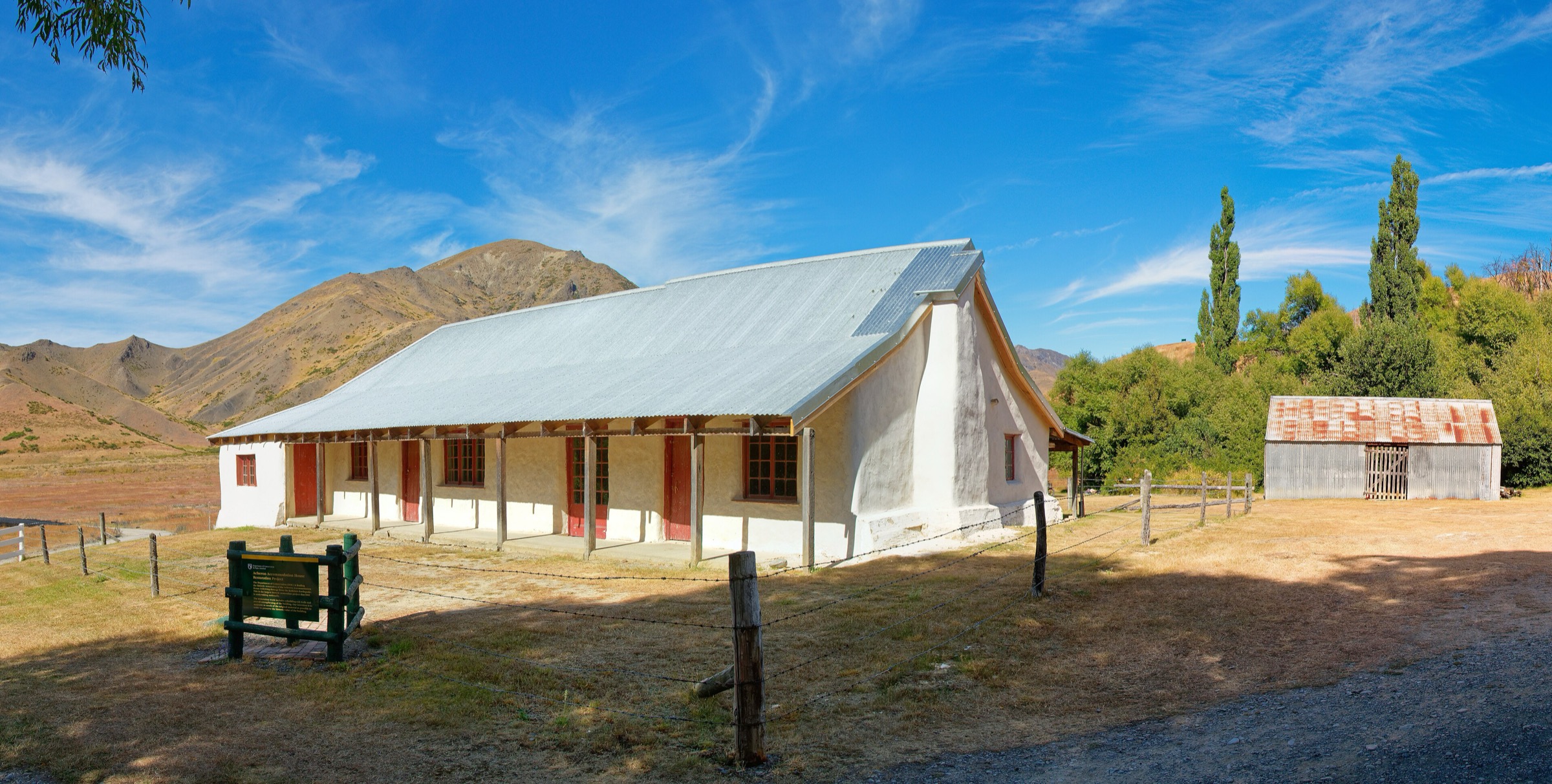
From the Acheron Accommodation House area, follow the short loop up to a viewpoint over the historic cob building, the Waiau Toa / Clarence River and the surrounding valley. AllTrails maps a slightly longer local loop variant at ~2.4 km covering the same viewpoint.
Why it is essential
Acheron Lookout is the clearest official day-walk anchor for the Clarence–Acheron end of the sector — short, historic, and directly tied to the seasonal Molesworth access corridor.
Hazards and notes
- Acheron Road access is seasonal with restricted daytime hours; closures for weather or fire are common.
- Dogs are not permitted in Molesworth Recreation Reserve.
- Wind and cold on the open lookout even in summer.
GPX / KML links
| Source | URL | Format | Notes |
|---|---|---|---|
| DOC Acheron Lookout Loop Walk | doc.govt.nz | Official route page | DOC website terms; no GPX found |
| AllTrails Acheron Loop Track | alltrails.com | Third-party map | Longer mapped variant; do not redistribute AllTrails GPX without licence confirmation |
Further reading
2. Molesworth Homestead Lookout Track
Snapshot
Itinerary
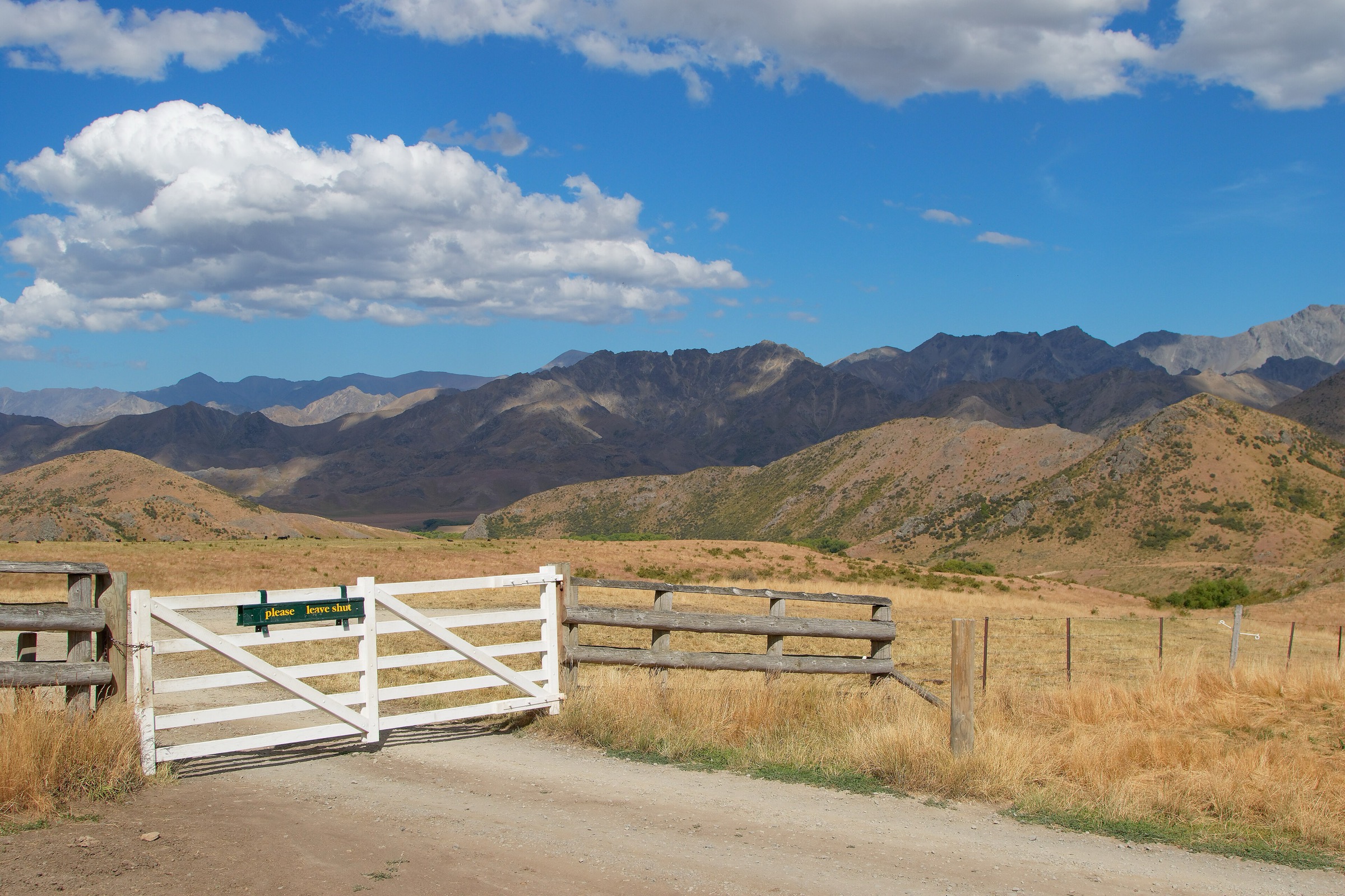
AllTrails maps a short out-and-back to a lookout near the Molesworth Homestead, with the working high-country station, river, and long valley views as the main features. No separate DOC track page was located for this specific short walk; DOC does verify the wider Molesworth Recreation Reserve context.
Why it is essential
The Homestead Lookout is the historic counterpart to Acheron Accommodation House and helps represent the human high-country story of the Clarence–Molesworth corridor.
Hazards and notes
- Remote access, weather exposure, and seasonal road constraints.
- Dogs are not permitted according to AllTrails and the wider reserve rules.
- Working-station area — respect signage and stock.
GPX / KML links
| Source | URL | Format | Notes |
|---|---|---|---|
| AllTrails Molesworth Homestead Lookout Track | alltrails.com | Third-party map | Secondary source; do not redistribute AllTrails GPX without licence confirmation |
| DOC Molesworth Recreation Reserve | doc.govt.nz | Official place page | DOC website terms; context only |
Further reading
3. Lake Tennyson Campsite Walk
Snapshot
Itinerary
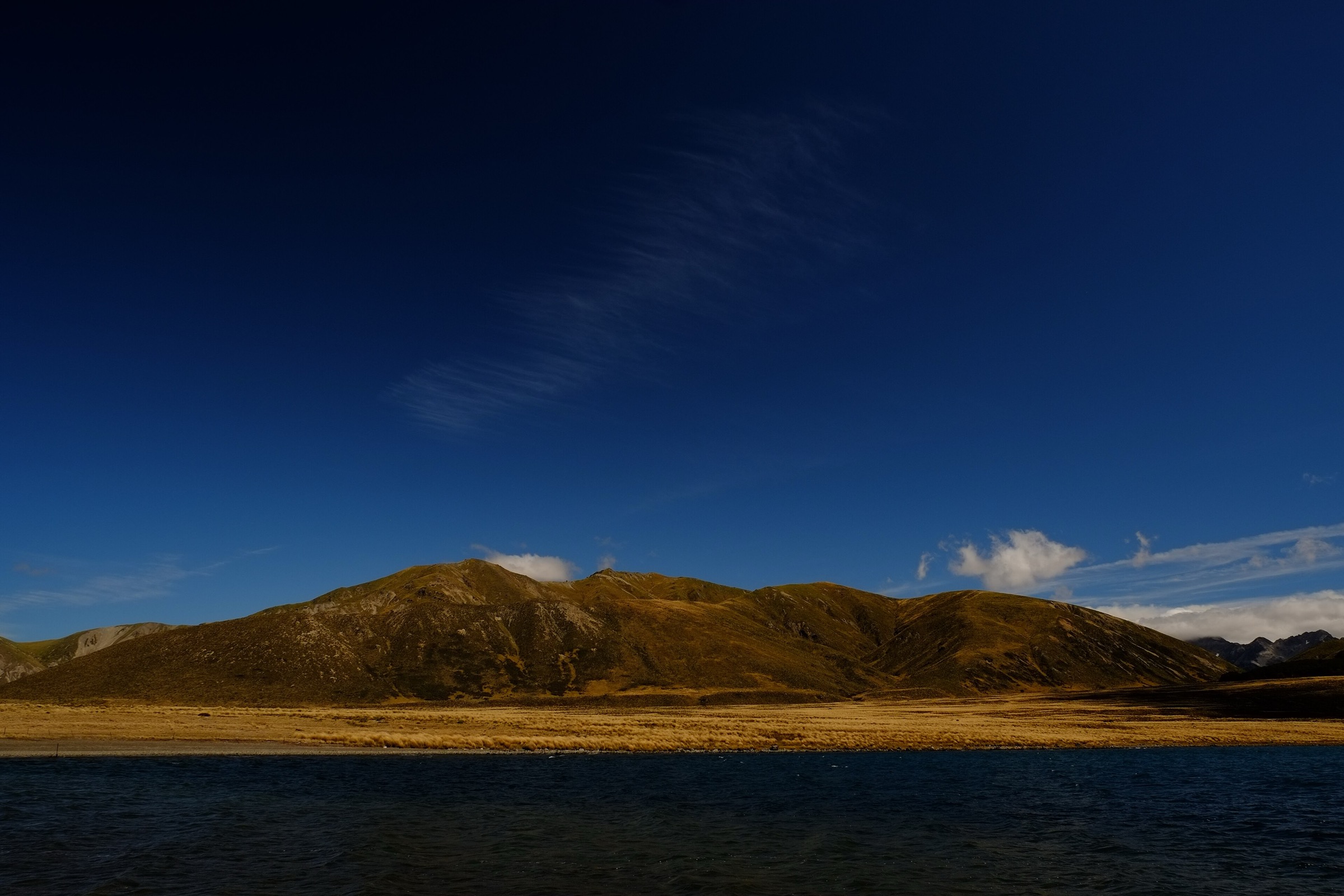
Walk from the Lake Tennyson campsite along the lake-edge line described by AllTrails. No official DOC track page was found for this short walk in this pass; the route provides the upper high-country lake element for the sector.
Why it is essential
Lake Tennyson represents the top of the Clarence access corridor — the open, high-country lake landscape reached from the same road system as Acheron and Molesworth.
Hazards and notes
- Short does not mean urban: wind, cold, and remoteness are the main concerns.
- Exact route geometry should be checked before building a derivative GPX.
- Road access can close for management reasons; verify before travel.
GPX / KML links
| Source | URL | Format | Notes |
|---|---|---|---|
| AllTrails Lake Tennyson Campsite Walk | alltrails.com | Third-party map | Secondary source; do not redistribute AllTrails GPX without licence confirmation |
| DOC Molesworth Recreation Reserve | doc.govt.nz | Official place page | DOC website terms; context only |
Further reading
4. Kahutara car park to Warden Hut via Blind Saddle
Snapshot
Itinerary
DOC describes the route from Kahutara car park crossing the Kahutara River, climbing through farmland to Blind Saddle at 1,190 m, then continuing via Bushy Saddle, Tent Poles Hut and Seymour Stream to Warden Hut. The full official stage is 18 km one way and forms part of a 3-day Clarence route, not a simple day loop.
Why it is essential
This is the main lower Clarence access stage into Ka Whata Tū o Rākihouia and gives the valley’s most important pass-and-hut walking narrative. A shorter out-and-back to Blind Saddle is plausible but was not verified with distance or ascent data in this pass.
Hazards and notes
- Unbridged river crossings including the Kahutara — do not travel in high flow.
- Long one-way distance and advanced tramping conditions; treat as a multi-day route, not a day walk.
- Remoteness and limited escape options; PLB and full backcountry kit are essential.
- No licence-compatible photo specific to the Kahutara–Warden stage was located in this pass.
GPX / KML links
| Source | URL | Format | Notes |
|---|---|---|---|
| DOC Ka Whata Tū o Rākihouia / Clarence walks | doc.govt.nz | Official route page | DOC website terms; no GPX found |
Further reading
5. Warden Hut to Forbes Hut via Seymour Stream
Snapshot
Itinerary
DOC lists Warden Hut to Forbes Hut via Seymour Stream as a 9 km section of the Ka Whata Tū o Rākihouia / Clarence walks. It is best understood as a hut-based day within a longer route rather than a standalone public trailhead day hike.
Why it is essential
This is the internal Clarence backcountry: hut, stream, and open valley travel beyond the road-accessed edges of the sector.
Hazards and notes
- Remote hut-based travel, stream and river hazards, and limited escape options.
- Do not attempt as a standalone day hike without a defined approach and exit plan.
- No licence-compatible photo of the Forbes Hut / Seymour Stream section was located in this pass.
GPX / KML links
| Source | URL | Format | Notes |
|---|---|---|---|
| DOC Ka Whata Tū o Rākihouia / Clarence walks | doc.govt.nz | Official route page | DOC website terms; no GPX found |
Further reading
Verification notes
- Acheron Lookout Loop is DOC-verified as a 1 km official loop; AllTrails maps a longer 2.4 km variant covering the same viewpoint.
- Molesworth Homestead Lookout and Lake Tennyson Campsite Walk are secondary-source (AllTrails) records without dedicated DOC track pages; DOC verifies the wider Molesworth Recreation Reserve context.
- Ka Whata Tū o Rākihouia / Clarence is a 55 km 3-day advanced tramping route. Hikes 4 and 5 are stages of that route recorded here as candidate day sections, not simple public day walks.
- Elevation gain / loss and standalone day times for hikes 4 and 5 remain unresolved from official sources.
Further reading
| Source | URL |
|---|---|
| DOC Molesworth Recreation Reserve | doc.govt.nz |
| DOC Acheron Lookout Loop Walk | doc.govt.nz |
| DOC Ka Whata Tū o Rākihouia / Clarence | doc.govt.nz |
| DOC Ka Whata Tū o Rākihouia / Clarence walks | doc.govt.nz |
| Storm — Seaward Kaikōura Range | storm.ski article |
| Wikipedia — Molesworth Station | en.wikipedia.org |
| Wikipedia — Clarence River (New Zealand) | en.wikipedia.org |