Regional overview
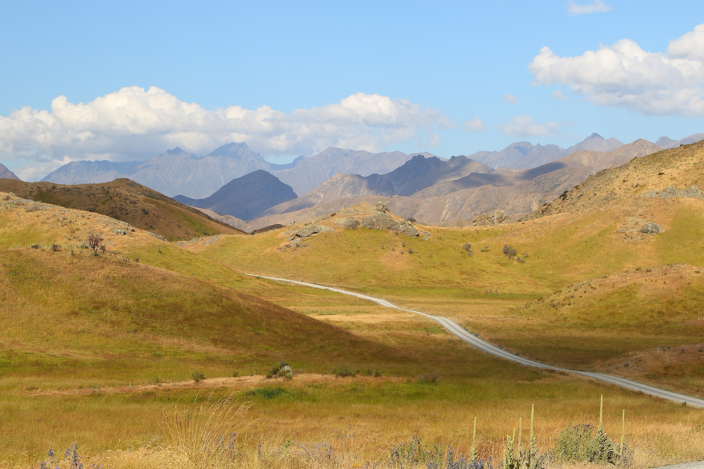
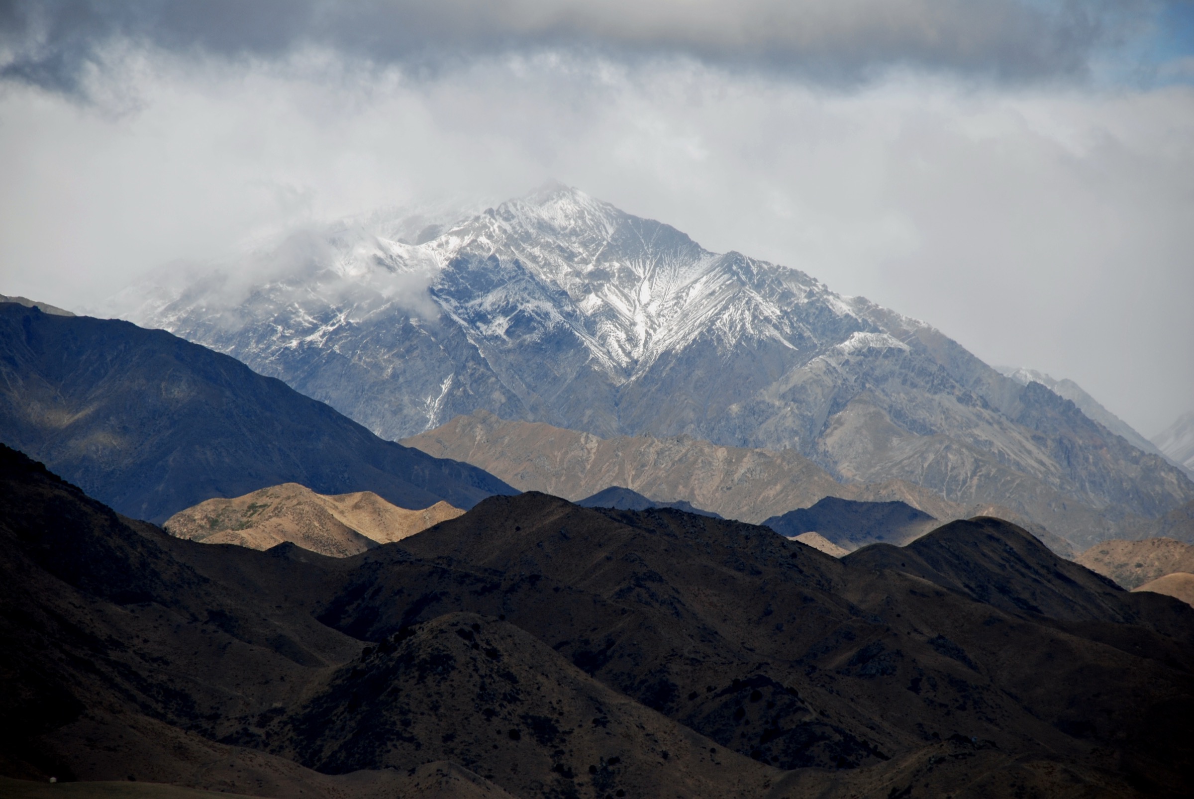
The Mount Fyffe area is the most accessible tramping gateway into the Kaikōura Ranges from Kaikōura township. The core walking pattern is a steep ridge ascent from the Mt Fyffe car park to the hut and summit, framed by lower forest loops around the same trailhead. DOC’s public coverage is concentrated on the Mt Fyffe Hut / Kowhai Saddle route, the Hinau Track, and the wider Ka Whata Tū o Rākihouia / Clarence route system.
Because this is a compact subregion, three of the five records below are different objectives on the same Mt Fyffe access line. They are separated because they serve different users: the full summit, the hut as a hard day objective, and the lower lookout as a short range-view walk. The Fyffe-Palmer loop remains secondary-source verified only; that status is kept visible in the entry itself.
Summary table
| # | Hike | Route type | Distance | Approx. gain | Max elevation | Difficulty | Verification |
|---|---|---|---|---|---|---|---|
| 1 | Mt Fyffe Summit via Mt Fyffe Hut | Out-and-back | DOC: 14 km; AllTrails: 18.0 km | ~1,417 m | ~1,602 m | Advanced / hard | Official route verified |
| 2 | Mt Fyffe Hut | Out-and-back | AllTrails: 11.4 km | ~909 m | ~1,097 m | Hard | Official route verified; stats secondary |
| 3 | Lower Mt Fyffe Lookout / firepond viewpoint | Out-and-back | Not published as a standalone distance | Not published | Not published | Moderate to hard short climb | Officially described shorter option; stats unresolved |
| 4 | Hinau Track | Loop | DOC: 808 m; AllTrails: 1.0 km | ~79 m | ~282 m | Easy / intermediate | Official route verified |
| 5 | Fyffe Palmers Track | Loop | AllTrails: 3.2 km | ~251 m | ~465 m | Moderate | Secondary-source route; DOC place context only |
Before you go
Access
All five walks share the Kaikōura-side access corridor. The Mt Fyffe car park sits about 15 km from Kaikōura via Ludstone, Swamp, and Postman’s Roads and is the trailhead for entries 1–4. The Fyffe-Palmer Scenic Reserve loop sits nearby but is reached from a separate reserve trailhead; confirm current road access with local sources before travel.
Standard kit
- Full hillwalking kit for the summit and hut days: boots, waterproof / windproof shell, warm layers, food, water, map / GPS, and PLB recommended.
- Walking shoes or light boots, a rain shell, and water are enough for the Hinau and Fyffe-Palmer loops in normal conditions.
- Wind protection is worth carrying even on the short lower-lookout climb: DOC specifically notes that short walks in this area should not be underestimated.
Common hazards
The ridge is exposed to wind and rapid weather changes. Snow, ice, heat, dehydration, and loose gravel can all be issues on the Mt Fyffe access line. The lower forest loops are gentler but include unbridged streams that can become unsafe in higher flows. Dogs require a DOC permit on the Hinau Track; the Fyffe-Palmer dog rule is inconsistent across sources and should be confirmed before travel.
1. Mt Fyffe Summit via Mt Fyffe Hut
Snapshot
Itinerary
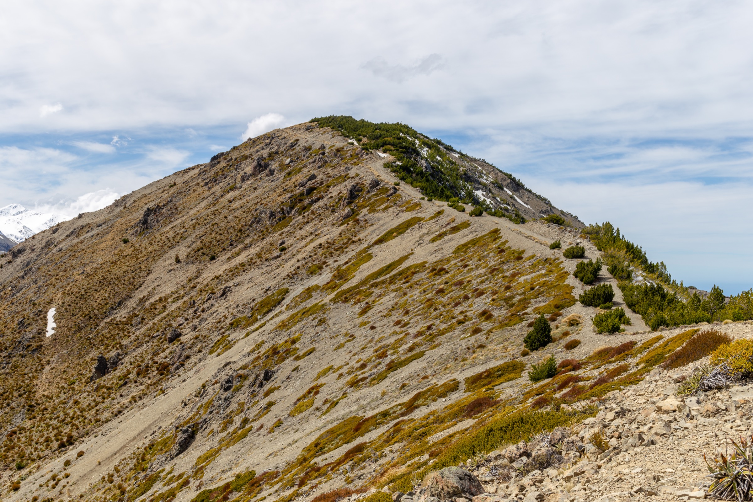
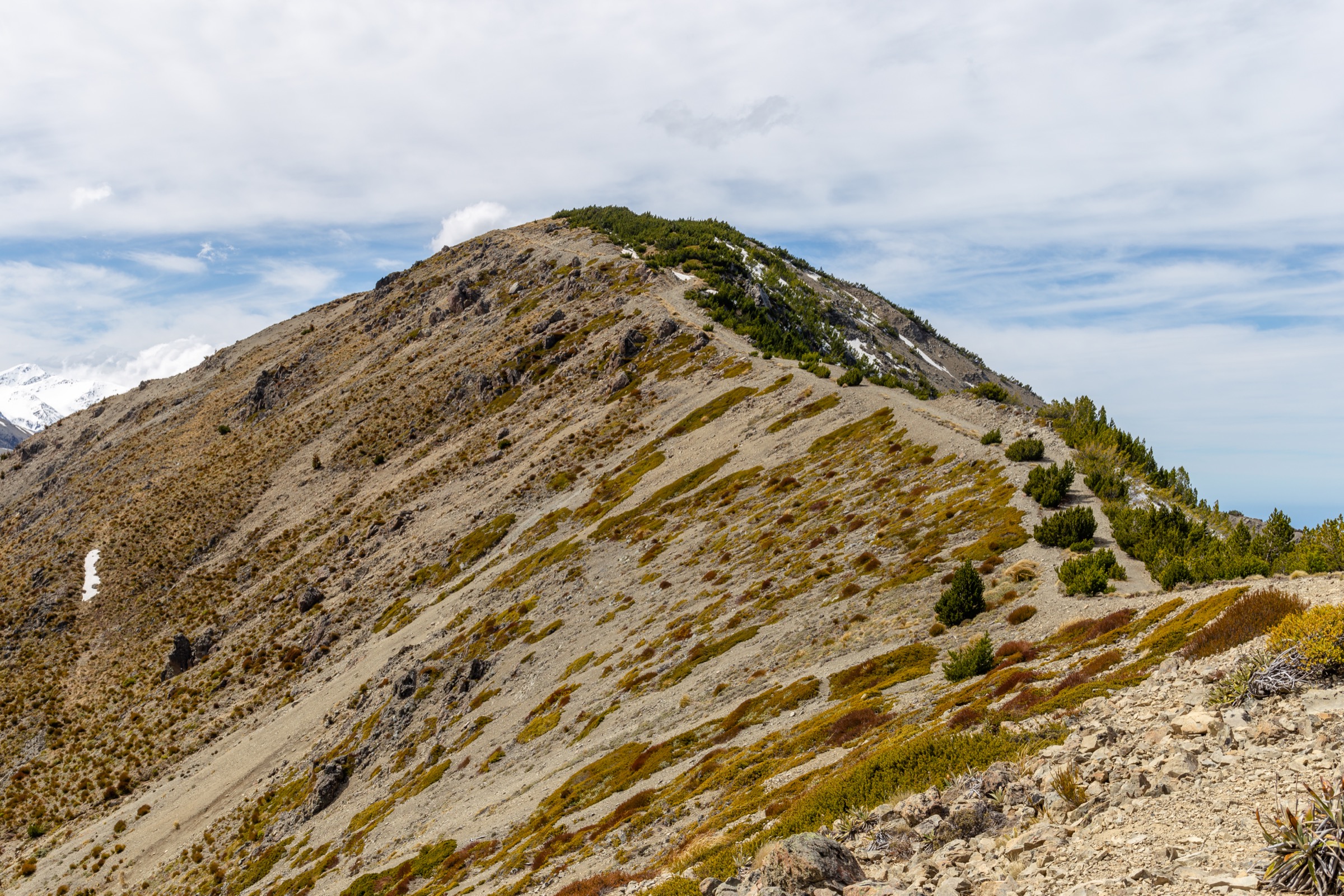
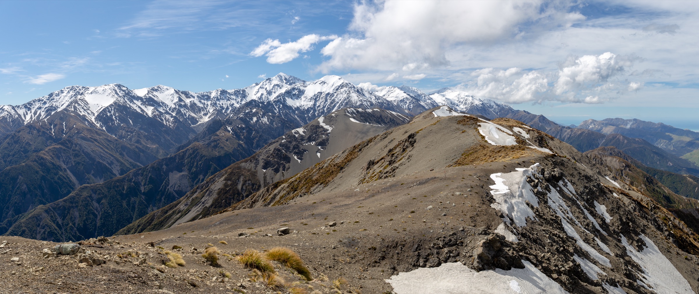
Climb the main Mt Fyffe access route from the car park up the south-west ridge to Mt Fyffe Hut, then continue higher on the open ridge to the summit at 1,602 m. DOC highlights the view line: Kaikōura plains, the peninsula, Banks Peninsula in clear conditions, and the North Island beyond.
Why it is essential
This is the defining Mount Fyffe day. It joins the area’s hut, summit, and full coastal-to-alpine view line in a single objective.
Hazards and notes
- The ridge is exposed to wind and rapid weather changes; snow, ice, heat, dehydration, and loose gravel are all in play.
- DOC treats the summit line as an advanced tramping track — carry navigation and a PLB, and turn round if the weather changes.
- Distance figures differ between DOC and AllTrails; treat the DOC 14 km as the official return distance.
GPX / KML links
| Source | URL | Format | Notes |
|---|---|---|---|
| DOC Mt Fyffe Hut / Kowhai Saddle Route | doc.govt.nz | Official route page | DOC website terms; no GPX published |
| AllTrails cross-check | alltrails.com | Third-party route page | Secondary geometry / stat comparison only |
| OpenStreetMap: Mt Fyffe | openstreetmap.org | OSM area | ODbL; attribution required |
Further reading
2. Mt Fyffe Hut
Snapshot
Itinerary
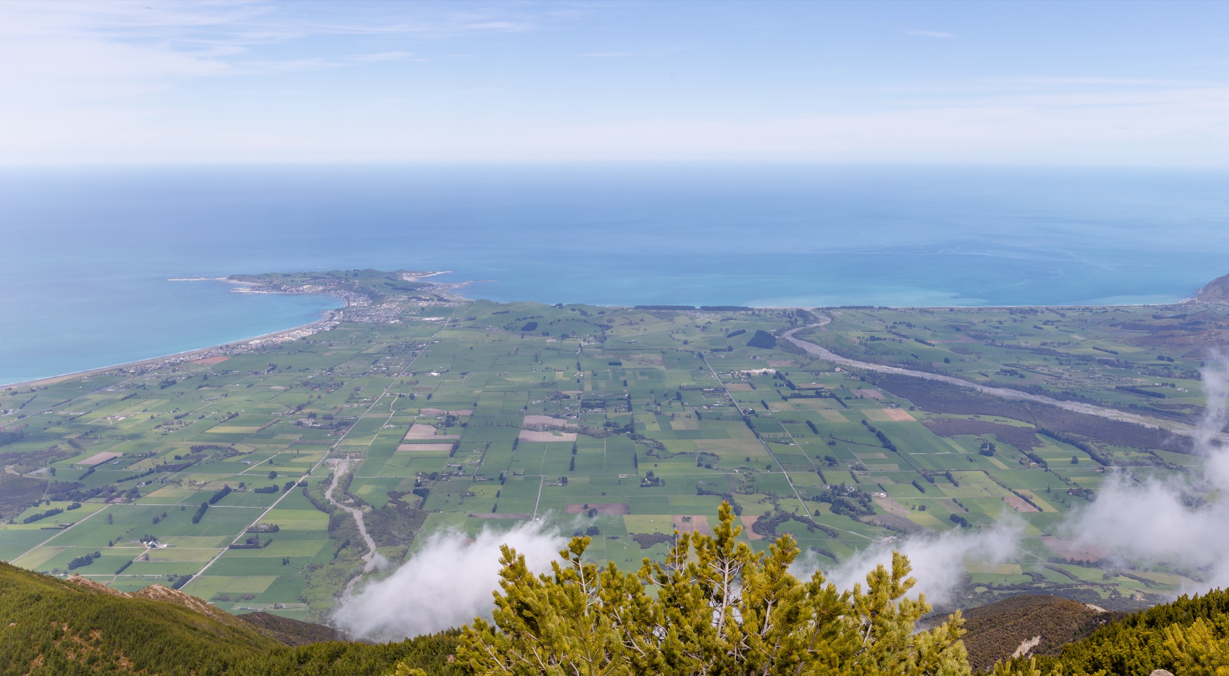
Follow the main Mt Fyffe access track to Mt Fyffe Hut — an 8-bunk DOC hut on the ridge. Return the same way. The hut sits high enough to deliver the classic Kaikōura Peninsula panorama without adding the extra summit climb.
Why it is essential
For many walkers this is the best day-length balance in the Mount Fyffe area: demanding enough to feel like a mountain day, but well short of the full summit.
Hazards and notes
- Steep grade, exposure above the forest line, loose gravel, and fast weather changes.
- Hut use requires checking current DOC fees and any booking rules before travel.
- Water is limited on the ridge — carry enough for the full return.
GPX / KML links
| Source | URL | Format | Notes |
|---|---|---|---|
| DOC Mt Fyffe Hut / Kowhai Saddle Route | doc.govt.nz | Official route page | DOC website terms; no GPX published |
| AllTrails cross-check | alltrails.com | Third-party route page | Secondary geometry / stat comparison only |
| OpenStreetMap: Mt Fyffe Hut area | openstreetmap.org | OSM area | ODbL; attribution required |
Further reading
3. Lower Mt Fyffe Lookout / firepond viewpoint

Snapshot
Itinerary
Follow the Mt Fyffe access route above the car park to the lower lookout / firepond area identified by DOC as a shorter option, then return the same way. Distance, ascent, and the exact turn-around point should be mapped from a legal topographic source before publication as a standalone GPX.
Why it is essential
It supplies the short, highly accessible sample of the Mt Fyffe view line for walkers without the time or fitness for the hut or summit.
Hazards and notes
- Do not let the short time obscure the exposure — DOC notes that even the short Mt Fyffe lookout walk warrants wind protection.
- Distance, ascent, and the exact turn-around point are not published as a standalone figure and need later map verification.
GPX / KML links
| Source | URL | Format | Notes |
|---|---|---|---|
| DOC Mt Fyffe Hut / Kowhai Saddle Route | doc.govt.nz | Official page mentioning the shorter lookout option | DOC website terms; no standalone GPX |
| OpenStreetMap: lower Mt Fyffe access | openstreetmap.org | OSM area | ODbL; attribution required |
Further reading
4. Hinau Track
Snapshot
Itinerary
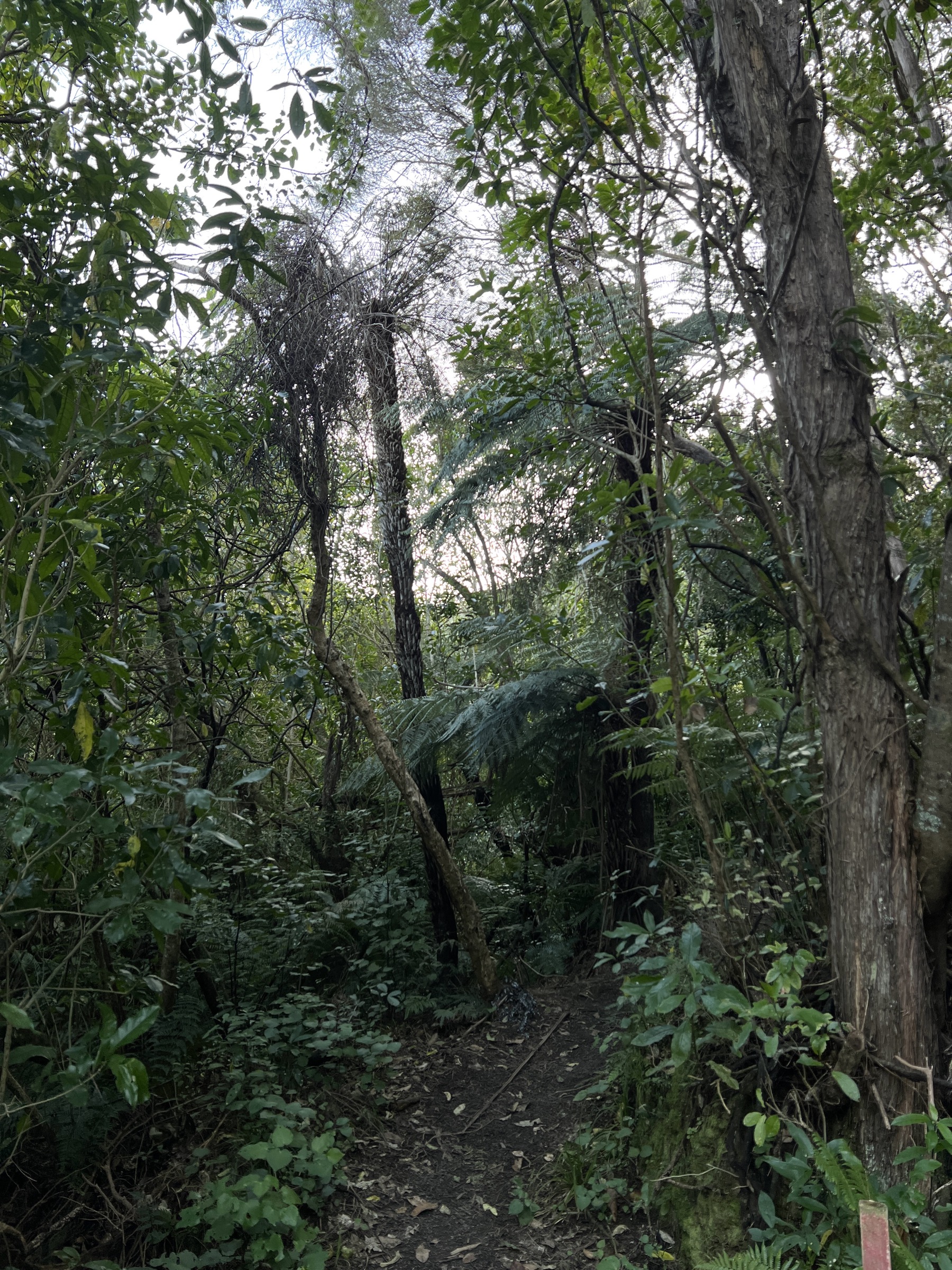
A short loop from the Mt Fyffe car park through lower forest. DOC lists hīnau, māhoe, putaputawētā, broadleaf, tree fuchsia, pigeonwood, and kānuka along the walk, plus an unbridged stream crossing.
Why it is essential
It is the main easy forest walk at the Mount Fyffe trailhead and a useful low-level option when the ridge is unsuitable.
Hazards and notes
- The unbridged stream is normally simple but can be unsafe in higher flows.
- Dogs require a DOC permit.
GPX / KML links
| Source | URL | Format | Notes |
|---|---|---|---|
| DOC Hinau Track | doc.govt.nz | Official route page | DOC website terms; no GPX published |
| AllTrails cross-check | alltrails.com | Third-party route page | Secondary geometry / stat comparison only |
Further reading
5. Fyffe Palmers Track
Snapshot
Itinerary
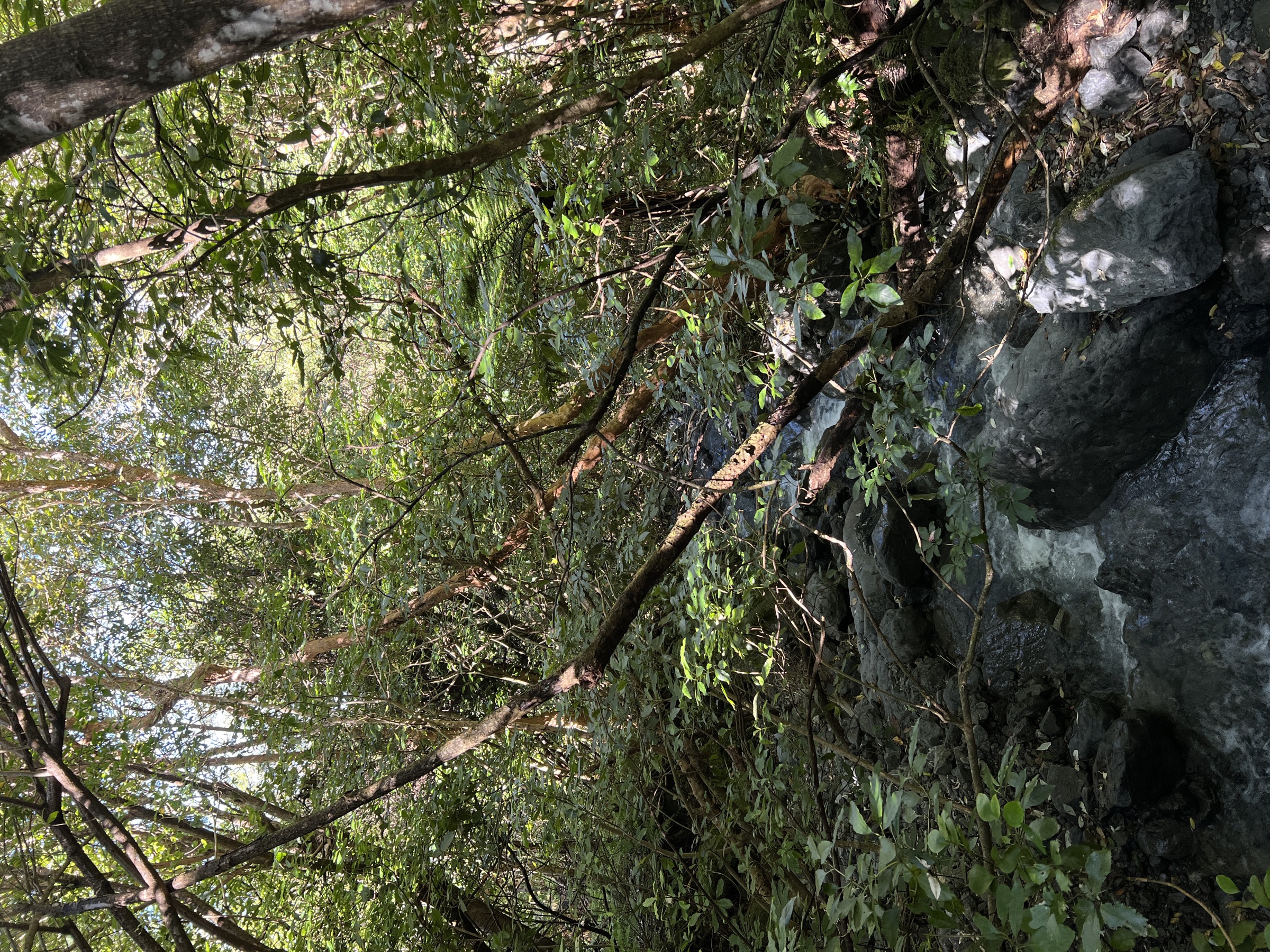
AllTrails describes a short loop in Fyffe-Palmer Scenic Reserve with bay views, forest, waterfalls, and some steep sections. It advises taking the left-hand loop where the track divides. No standalone DOC track page or official GPX was found in this pass.
Why it is essential
It adds a lower, forested, waterfall-oriented local walk to a Mount Fyffe area otherwise dominated by the main ridge track.
Hazards and notes
- Steep sections and possible storm debris are noted in AllTrails review summaries.
- Treat the route as under-verified until a DOC or local-authority source confirms exact access and maintenance status.
- Dog rules are inconsistent across sources — AllTrails variously describes dogs as requiring a DOC permit and as not allowed; resolve before travel.
GPX / KML links
| Source | URL | Format | Notes |
|---|---|---|---|
| AllTrails cross-check | alltrails.com | Third-party route page | Secondary geometry / stat comparison only |
| DOC Ka Whata Tū o Rākihouia / Clarence | doc.govt.nz | Official place context | DOC website terms |
| OpenStreetMap: Fyffe-Palmer Scenic Reserve | openstreetmap.org | OSM area | ODbL; attribution required |
Further reading
Verification notes
- Entries 1, 2, and 4 are verified against official DOC route pages; the summit entry retains the DOC 14 km return distance alongside the longer AllTrails geometry.
- Entry 3 (lower lookout / firepond viewpoint) is officially described as a shorter option on the DOC Mt Fyffe page but has no standalone published distance, gain, or maximum elevation; those fields need later map verification from a legal topographic source.
- Entry 5 (Fyffe Palmers Track) is secondary-source only — no DOC track page was found — and its dog rule is inconsistent across AllTrails records.
- The Kaikōura Peninsula panorama used for entry 2 is captured from high on the Kaikōura Ranges rather than from the hut itself; it is used as a representative view for the ridge line the hut sits on.
- See also the Inland Kaikōura Range entry for the range’s alpine side.
Further reading
| Source | URL |
|---|---|
| DOC Ka Whata Tū o Rākihouia / Clarence | doc.govt.nz |
| DOC Mt Fyffe Hut / Kowhai Saddle Route | doc.govt.nz |
| DOC Hinau Track | doc.govt.nz |
| Storm — Inland Kaikōura Range | storm.ski article |
| Wikipedia — Mount Fyffe | en.wikipedia.org |
| Wikipedia — Kaikōura Ranges | en.wikipedia.org |