Regional overview
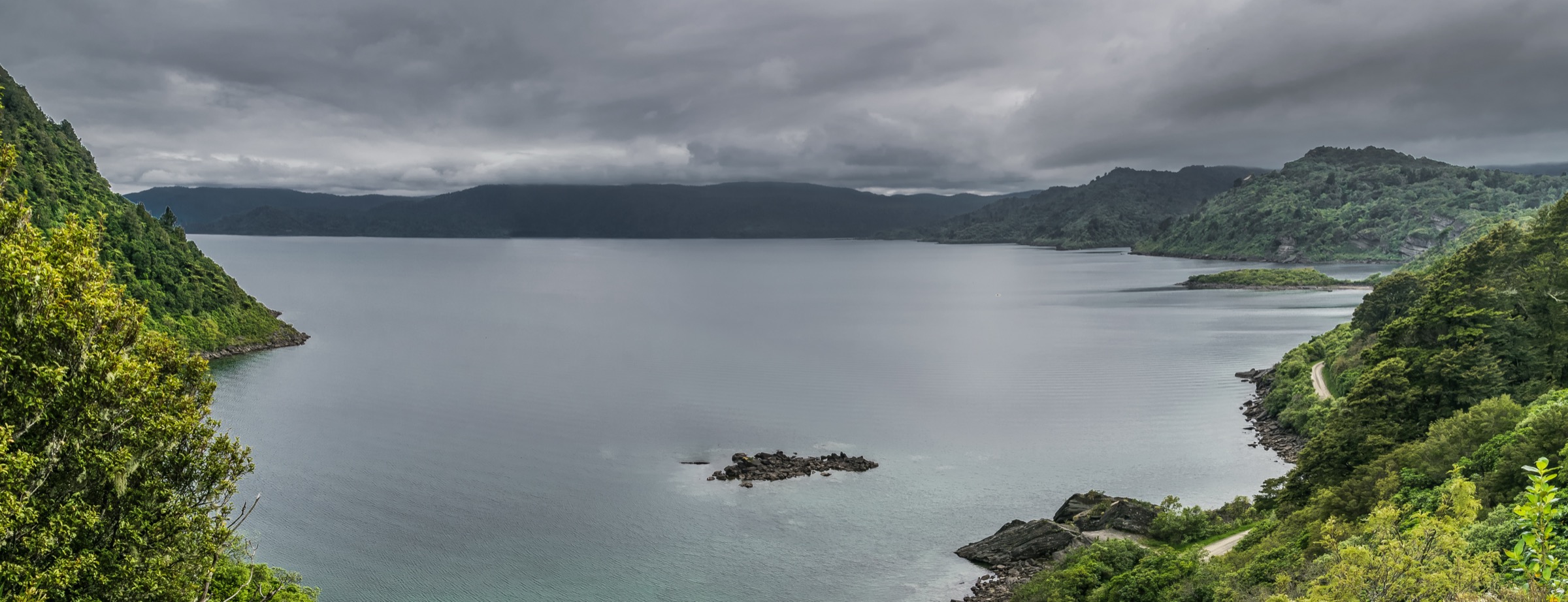
The southern Huiarau sector takes in the south-western corner of Te Urewera: the high Manuoha block, the SH38 corridor between Wairoa and Āniwaniwa, and the Lake Waikaremoana outlet country around Kaitawa, Onepoto and Lou’s Lookout. The defining landform is the landslide-dam landscape that formed Lake Waikaremoana, where a vast block sheared off Ngāmoko and ponded the Waikaretāheke catchment. Walking ranges from the very long climb to Manuoha (1,392 m), Te Urewera’s highest published walking objective, down to short geology, hydro-engineering and historical walks in the lake-outlet area.
Access is dominated by SH38, the rough sealed-and-gravel road that crosses Te Urewera from Wairoa to Murupara. Most of the southern walks branch off SH38 between the Kaitawa Power Station turn-off and the Onepoto / Great Walk start at the southern shore of Lake Waikaremoana. The Manuoha trailhead lies further west, about 16 km from Āniwaniwa, on the true right of the Waiotukupuna Stream. Drive times are slow, fuel and supplies are limited, and weather closures of SH38 do happen. Mobile coverage is patchy to absent across most of the sector — a PLB and an outside-party plan are standard rather than optional.
Te Urewera is administered under the Te Urewera Act 2014 in partnership with Tūhoe, not as a national park. The Department of Conservation (DOC) still publishes the official route information for the public walks listed here, but trampers should expect signage and infrastructure to be more sparse than in DOC’s southern South Island parks. Manuoha Hut is in the process of being removed, so the summit day cannot rely on shelter at the top. Dogs and other pets are not permitted on these tracks. This catalogue sits alongside the Waikaremoana sector entry, which is where the Panekire Bluff and Great Walk shore walks belong, and the Northern Huiarau / Waimana Valley entry on the other side of the range — both are excluded here to avoid duplication.
Selection rationale
There are very few formally published day-walks in this sector. The five entries below cover the realistic day-scale objectives that DOC documents: the highest verified southern summit (Manuoha), the traditional Māori-route walk between Rosie Bay and Lake Kaitawa, the short geology / hydro circuit at Fairy Springs, the landslide-viewpoint short walk at Lou’s Lookout, and the historical Onepoto redoubt and Lake Kiriopukae loop. Three of the five are much shorter than a conventional guidebook day, but they are the only officially verified public walks in this narrow sector and each carries a distinct geological, cultural or historical reason to be in the catalogue. No unofficial shortcuts, private-access Maungapōhatu routes or off-corridor variants are included.
Summary table
| # | Hike | Country | Route type | Distance | Gain | Max elevation | Difficulty |
|---|---|---|---|---|---|---|---|
| 1 | Mt Manuoha from SH38 | New Zealand | Out-and-back summit day | Not verified | Not verified | 1,392 m | Advanced tramping |
| 2 | Old Māori Trail (Rosie Bay – Lake Kaitawa) | New Zealand | Out-and-back or point-to-point | Not verified | Not verified | Not verified | Advanced tramping |
| 3 | Lake Kaitawa Fairy Springs Track | New Zealand | Short circuit / road return | Not verified | Not verified | Not verified | Advanced tramping |
| 4 | Lou’s Lookout | New Zealand | Out-and-back | Not verified | Not verified | Not verified | Short walk |
| 5 | Armed Constabulary Redoubt & Lake Kiriopukae | New Zealand | Out-and-back historical walk | Not verified | Not verified | Not verified | Short walk |
1. Mt Manuoha from SH38
Snapshot
Itinerary
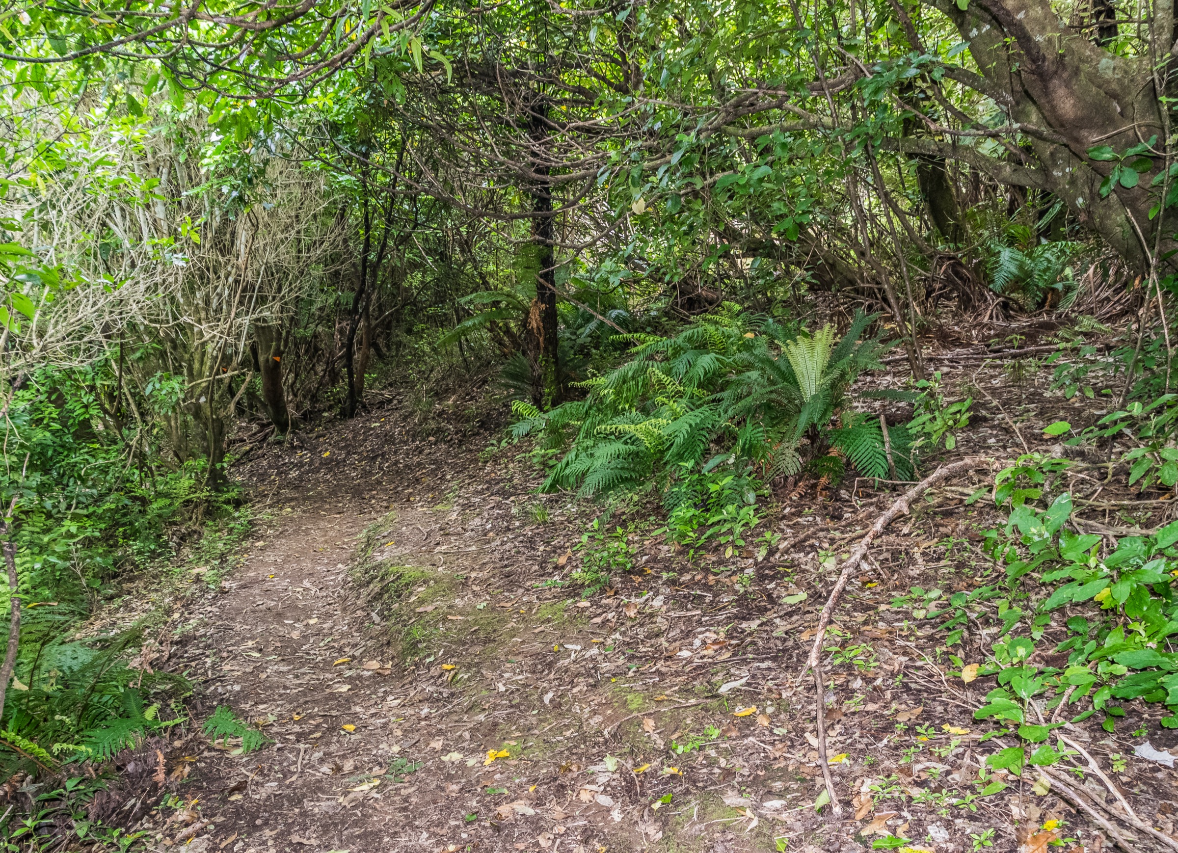
From the signposted start on SH38, the track climbs steadily and steeply through red and silver beech, coprosma and dense fern for the first one to two hours. The grade eases on the upper ridge but the climb continues until the track reaches the trig and the former Manuoha Hut site near the summit. In clear weather DOC notes views across the central North Island toward Ruapehu and the volcanic plateau, and on rare days as far as Mahia Peninsula. Most parties turn around at the trig and re-descend the same line; continuing to Lake Waikareiti commits to the full 32 km traverse with an exit logistic.
Why it is essential
Manuoha is the highest verified public walking objective in Te Urewera and the strongest southern Huiarau summit day on the books. Nothing else in the southern sector pairs the same elevation, the same beech-forest commitment and the same plateau view in a single official route.
Equipment
Full mountain-tramping kit: boots with aggressive lugs, full waterproof shell, warm spare layer, hat and gloves, food for a long day, two or more litres of water, map, compass and GPS with offline base map, headtorch, first-aid kit, PLB. River and stream water sources along the climb are not reliable.
Hazards and notes
DOC is explicit that there is no suitable drinking water between SH38 and the Manuoha summit area, so the day’s water has to be carried from the road. Weather can change rapidly and hypothermia is a real risk even in summer. Manuoha Hut is in the process of being removed; do not rely on shelter at the top. The Manuoha–Waikareiti through-route is for experienced parties only and is well beyond a day-walk if continued. No dogs or other pets.
GPX / route file
| Source | URL | Format / access | Reuse status |
|---|---|---|---|
| DOC — Manuoha to Waikareiti Track | doc.govt.nz | Official route page | Source reference; no standalone GPX published |
Further reading
2. Old Māori Trail (Rosie Bay – Lake Kaitawa)
Snapshot
Itinerary
From Rosie Bay, the route follows the older line through a valley that arcs around the trailing edge of the landslide block which slid from Ngāmoko. The track passes grassy clearings, tōtara and mataī, then drops through dense bush to Lake Kaitawa. Walked as an out-and-back it is a comfortable half-day; walked point-to-point it requires a second vehicle or shuttle at the Kaitawa end. The track is graded advanced despite the relatively short time, because the surface, drainage and route-finding are noticeably harder than the DOC short-walk standard.
Why it is essential
This is the clearest verified traditional-route walk in the southern sector and the most direct link between Lake Waikaremoana’s landslide history and an older Māori route to Lake Kaitawa. Walking it in either direction reads the same landscape the redoubt sites and Fairy Springs explain from different angles.
Equipment
Boots or sturdy shoes with good grip, rain jacket, warm spare layer, food, water, map and GPS with offline base map, headtorch as a daylight buffer. Treat it as a tramping track rather than a graded short walk.
Hazards and notes
DOC grades the track as advanced even though the published time is short — this is mostly a route-finding and surface call, not a distance call. If walked point-to-point, transport must be arranged. No dogs or other pets.
GPX / route file
| Source | URL | Format / access | Reuse status |
|---|---|---|---|
| DOC — Old Māori Trail | doc.govt.nz | Official route page | Source reference; no standalone GPX published |
Further reading
3. Lake Kaitawa Fairy Springs Track
Snapshot
Itinerary
From the Kaitawa Power Station area, cross the footbridge over the upper Waikaretāheke River and follow the track around Lake Kaitawa. Near a small bridge, take the left turn to a translucent green pool where water wells up from the lake-bed leaks at Fairy Springs. Continue around the pool, cross the stile and return on a gravel road back to the powerhouse area.
Why it is essential
This is the best short walk in the sector for reading Waikaremoana’s outlet geology and hydroelectric history in one loop. Lake-bed leaks, springs, canals and the landslide debris of Ngāmoko all sit together in a route that takes about an hour.
Equipment
Sturdy shoes, rain jacket, warm spare layer, water. Children should be closely supervised around water and hydro infrastructure.
Hazards and notes
Stay clear of hydro infrastructure and slippery stream edges. DOC grades the walk as advanced despite the short duration — the call is more about exposed edges and route surface than distance. No dogs or other pets.
GPX / route file
| Source | URL | Format / access | Reuse status |
|---|---|---|---|
| DOC — Lake Kaitawa Fairy Springs Track | doc.govt.nz | Official route page | Source reference; no standalone GPX published |
Further reading
4. Lou’s Lookout
Snapshot
Itinerary
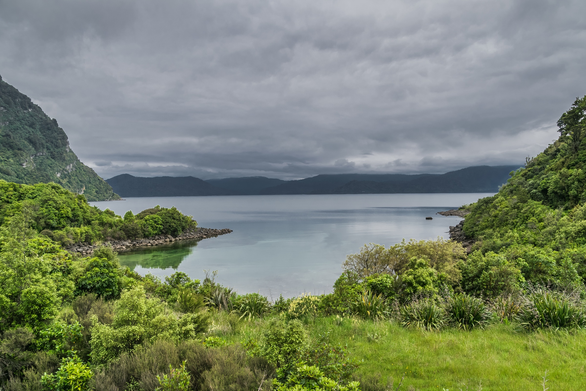
The track leaves SH38 and climbs through rock bluffs and large boulders in forest to a small lookout platform. The viewpoint sits on the massive landslide block from Ngāmoko that formed the lake, and looks out over Lake Waikaremoana toward the Panekire Bluff on the far shore. Return is by the same line.
Why it is essential
Lou’s Lookout is the fastest way to read the southern Waikaremoana landslide story from above. It gives a compact, signature view without committing to the Panekire Bluff climb or any of the longer Great Walk legs.
Equipment
Walking shoes with grip, rain jacket, water. Treat the rock-step section with care if the rock is wet.
Hazards and notes
Short does not mean trivial: rock steps and forest surfaces are slippery after rain. There are no railings on the upper boulder section. No dogs or other pets.
GPX / route file
| Source | URL | Format / access | Reuse status |
|---|---|---|---|
| DOC — Lake Waikaremoana area short walks | doc.govt.nz | Official source page | Source reference; no standalone GPX published |
Further reading
5. Armed Constabulary Redoubt and Lake Kiriopukae
Snapshot
Itinerary
From the Onepoto Road trailhead the route follows the first short section of the Lake Waikaremoana Track. It passes the site of a pā visited by William Colenso in 1841, fenced rock overhangs, the stone-wall remains of the Armed Constabulary redoubt and the old parade-ground area. A left fork drops down to Lake Kiriopukae and the adjacent wetland, with a small cemetery near the first lake. Return is by the same line back to the Great Walk trailhead.
Why it is essential
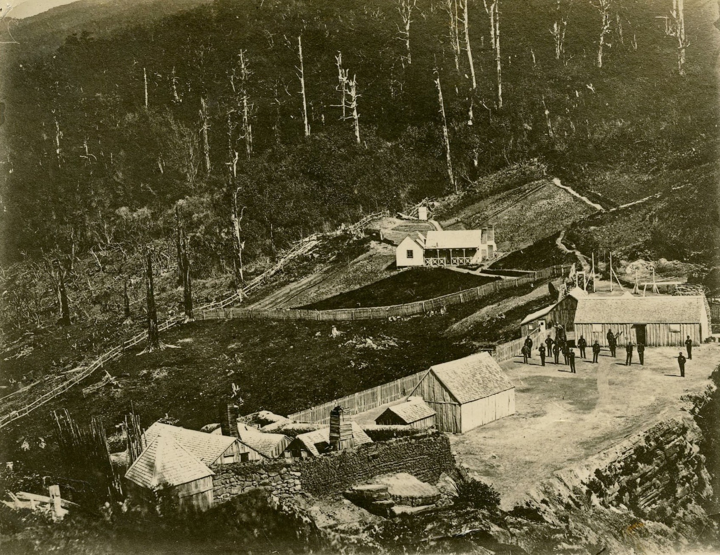
This is the key historical walk in the southern sector. In one short loop it joins the lake edge, the Te Kooti-era constabulary occupation, the surrounding wetland bird habitat and the formal southern Great Walk trailhead — and it is the only sector walk that explicitly puts the 19th-century military history of Waikaremoana on the ground.
Equipment
Walking shoes, rain jacket, water. Respect fenced and burial areas. A small torch is useful for inspecting the rock overhangs.
Hazards and notes
Respect the urupā / cemetery, fenced rock overhangs and historic remains; nothing should be moved or climbed on. Wetland sections are wet after rain. No dogs or other pets.
GPX / route file
| Source | URL | Format / access | Reuse status |
|---|---|---|---|
| DOC — Lake Waikaremoana area short walks | doc.govt.nz | Official source page | Source reference; no standalone GPX published |
Further reading
Routes excluded
The Panekire Bluff climb and the Lake Waikaremoana Great Walk shore stages are deliberately held back for a separate Waikaremoana sector entry. The full Manuoha-to-Waikareiti through-route is included only as far as the Manuoha summit day — the remaining 32 km traverse is a multi-day commitment with a separate transport problem and does not belong in a day-hike catalogue. Maungapōhatu and other deeper Tūhoe-jurisdiction routes are excluded entirely; access status is not equivalent to a DOC public walk and would need a direct iwi conversation rather than a DOC source.
Missing data / follow-up work
DOC pages for this sector do not publish distance or elevation-gain figures for most of the listed routes, and no standalone GPX or KML files were found for any of the five. A future revision should add: measured day-return statistics for Manuoha from a tracked outing, a measured loop distance for Fairy Springs, and a one-line distance for Lou’s Lookout. Local photography of the actual Manuoha trig, Fairy Springs pool, Lou’s Lookout platform and the redoubt stonework would also let this entry drop the context-only image labels.
Further reading
| Source | URL |
|---|---|
| DOC — Te Urewera | doc.govt.nz |
| DOC — Manuoha to Waikareiti Track | doc.govt.nz |
| DOC — Old Māori Trail | doc.govt.nz |
| DOC — Lake Kaitawa Fairy Springs Track | doc.govt.nz |
| DOC — Lake Waikaremoana area short walks | doc.govt.nz |
| Wikimedia Commons — Category: Te Urewera | commons.wikimedia.org |
| Wikipedia — Te Urewera | en.wikipedia.org |
| Wikipedia — Lake Waikaremoana | en.wikipedia.org |