Regional overview
The northern Gordon Range is the ridge and forest-descent country between the Gordon Range tops and the Motueka River Left Branch, on the north-western side of Mount Richmond Forest Park south-west of Nelson. The ridge line above Inwood Lookout runs north-east from Gordon’s Knob past Point 1519 before dropping steeply through beech forest to the river valley, where Hunter’s Hut sits above the Motueka Left Branch. From that point onward the country belongs to Te Araroa’s Richmond Ranges section rather than to the Gordon Range itself.
The northern side does not have a dense day-walk network. The only public route that stays broadly within the Gordon Range name is the tops-to-valley traverse from Inwood Lookout down to Hunter’s Hut — usually walked as a point-to-point with a car shuttle or, less commonly, as an out-and-back over the ridge. Every source located in this pass treats it as an overnight tramp rather than a maintained day track, and there is no dedicated DOC track page for the northern-side descent. Distances and elevations below come from Wilderness Magazine, the AllTrails route page and the DOC blog account, cross-checked where possible.
For the ridge-to-summit country on the same range, see the Southern Gordon Range note, which covers the Wai-iti Road climb to Inwood Lookout and the ridge walk to Gordon’s Knob. Adjacent verified walking country in Mount Richmond Forest Park sits beyond the Motueka Left Branch on the Red Hills and Mt Ellis / Ben Nevis side of the park, and is treated in the wider Richmond Alpine Route material rather than in this Gordon Range series.
Catalogue decision
No catalogue-compliant set of five public essential day-hikes could be verified for the northern Gordon Range in this pass. The range is short and, on the northern side, effectively hosts a single well-documented walking objective — the Inwood Lookout to Hunter’s Hut traverse — plus context-only interest in the Motueka Left Branch valley below the descent. Padding the count with tracks that sit outside the Gordon Range or that only exist on trip-report evidence would not be honest.
This entry is published as a reduced research note. It documents the one candidate that can be described with confidence and flags the other leads considered.
Verification summary
| Status item | Result |
|---|---|
| Public day-hike selection | One candidate identified; multiple secondary sources agree on the route and stats |
| Official DOC route page | No dedicated DOC page for the Inwood Lookout to Hunter’s Hut traverse in this pass |
| Route geometry | Wilderness Magazine, AllTrails and DOC blog descriptions agree at the level of overall shape and length |
| Access / trailhead | Inwood Lookout access is 4WD-only via Wai-iti Road; onward Motueka Left Branch access is by Te Araroa from the north-east |
| GPX / KML / source route files | Wilderness Magazine hosts a downloadable GPX for this route; licence terms restrict redistribution |
| Photo sourcing | No licence-compatible modern landscape image of the northern Gordon Range or Hunter’s Hut located in this pass |
| Publication status | Reduced research note; not a finished five-hike catalogue entry |
Candidate summary
| # | Candidate | Trailhead | Route type | Distance | Gain | Max elevation | Difficulty |
|---|---|---|---|---|---|---|---|
| 1 | Inwood Lookout to Hunter’s Hut via the Gordon Range | Inwood Lookout | Point-to-point (car-shuttle) or long out-and-back | 7.9–8.2 km one way; 16.3 km return | 723 m to the ridge; more if returned over the tops | ≥ 1,500 m on the ridge, below Gordon’s Knob | Hard |
Candidate 1: Inwood Lookout to Hunter’s Hut via the Gordon Range
Snapshot
Itinerary
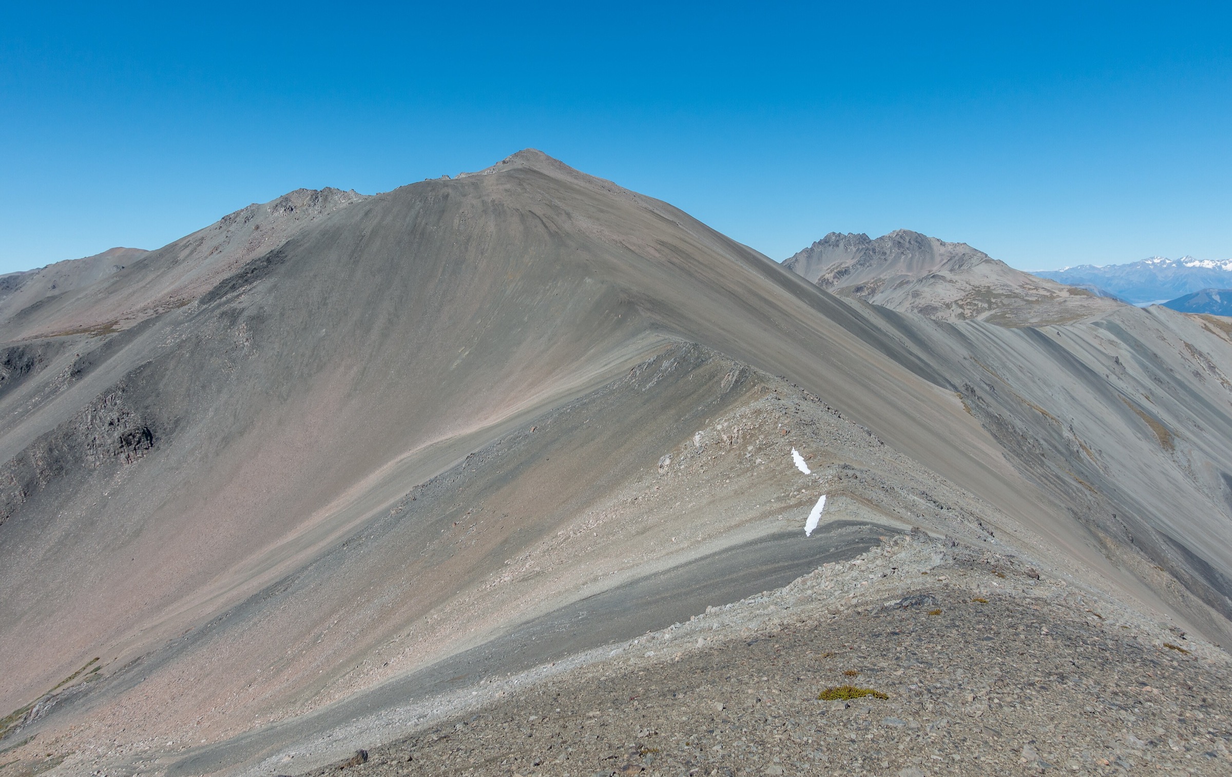
From Inwood Lookout the route climbs onto the Gordon Range ridge on marker poles, alternating tussock, sub-alpine scrub and short beech-forest sections. The ridge line runs north-east past Gordon’s Knob toward Point 1519. Trampers are directed to follow the poles rather than cairns to avoid a side climb onto the summit block. South of Point 1519 the track drops off the ridge and descends steeply through beech forest to about 700 m at the Motueka River Left Branch. A short, steep climb from the river brings walkers to Hunter’s Hut, an eight-bunk DOC standard hut built in 1997 to replace Bush Edge Hut. From here the country beyond belongs to Te Araroa and is not part of this note.
Why it is essential
This is the only route on the northern side of the Gordon Range that stitches the ridge tops together with the Motueka Left Branch descent, and it is the walking objective that gives the northern half of the range its character. It shows the transition from open alpine tops to steep river-valley beech forest inside a single traverse and lands walkers on the Te Araroa corridor at Hunter’s Hut, which makes it the natural staging point for onward Richmond Ranges plans.
Equipment
- Tramping boots with good ankle support
- Softshell, rain shell and warm mid-layer; hat and gloves outside midsummer
- 2.5–3 L water and food for a long day
- Map, compass and GPS with the ridge and descent route pre-loaded
- Head torch with spare batteries — a dawn start or late finish is likely for a same-day return
- Trekking poles for the steep descent
- Personal Locator Beacon recommended
- Water treatment if drawing from the Motueka Left Branch
Hazards and notes
- The ridge is exposed to strong nor-west and southerly weather; visibility can drop fast even in warm valley conditions.
- The descent from Point 1519 is steep, root-strung and windfall-prone; slow, careful travel is normal.
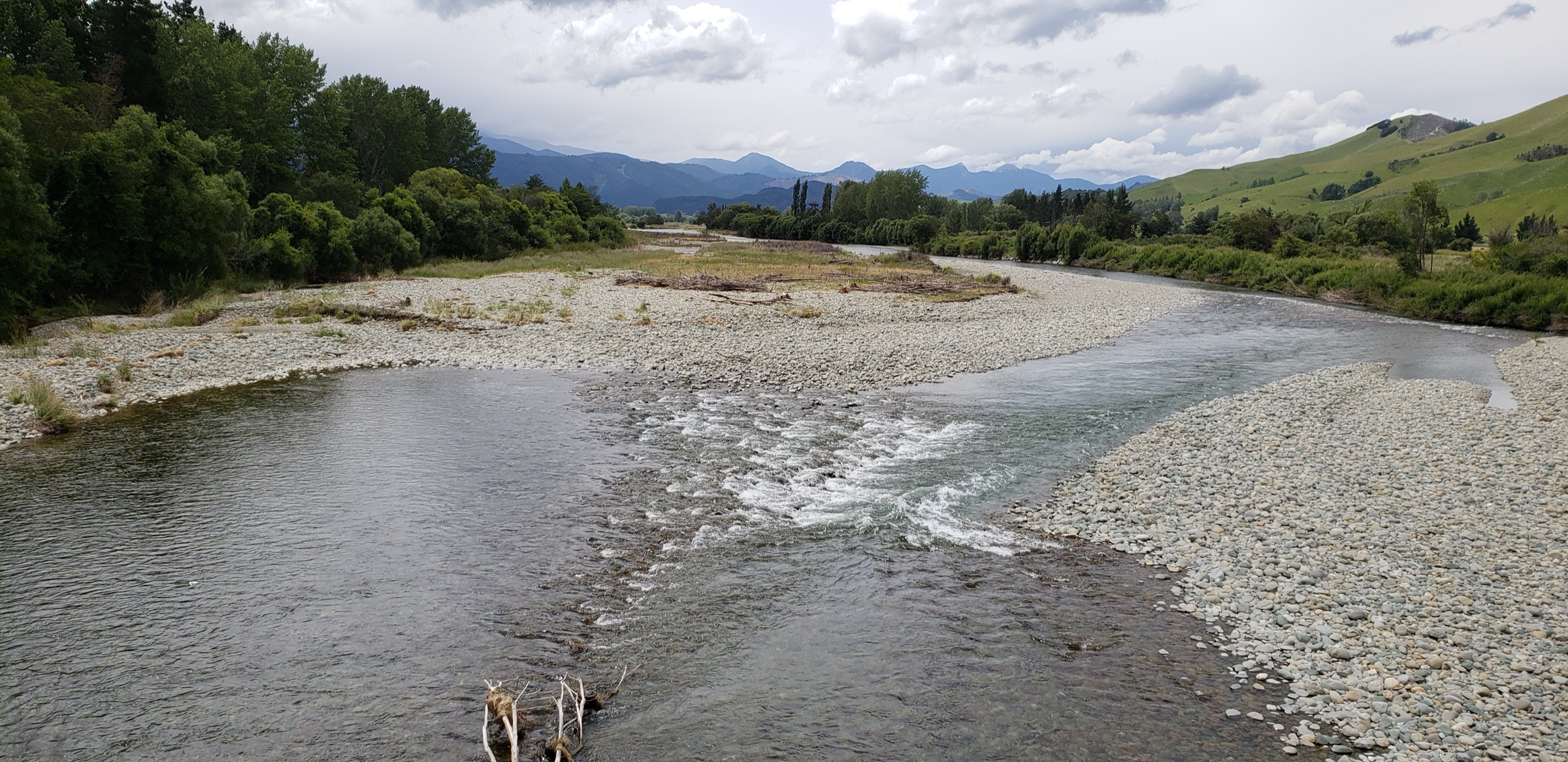
- The Motueka River Left Branch below Hunter’s Hut is unbridged and can rise quickly after rain — do not attempt if flows are high.
- Wai-iti Road above the sealed section is a working forestry road controlled by OneFortyOne and is 4WD-only.
- Access status on Wai-iti Road can change without notice.
- Bush Edge Hut, the predecessor to Hunter’s Hut, was destroyed by a 1995 flash flood in which two DOC workers were killed — treat the river country below the descent with respect.
Other leads considered
| Lead | Evidence found | Decision |
|---|---|---|
| Motueka River Left Branch valley walk to Hunter’s Hut | Referenced in DOC and Te Araroa material as the northern approach to Hunter’s Hut on Te Araroa’s Richmond Ranges section | Not verified as a stand-alone day walk within the Gordon Range; the practical entry to that route is from Te Araroa in the north-east rather than from the Gordon Range itself |
| Top Wairoa Hut to Hunter’s Hut | DOC records 12 km, 5 h via Mt Ellis (1,615 m) | Excluded — this is Te Araroa across the Red Hills / Mt Ellis country rather than a Gordon Range route |
| Hunter’s Hut to Porters Creek Hut | DOC records 9 km, 4 h | Excluded — sits east of the Motueka Left Branch on the Red Hills ultramafic country |
| Gordon’s Knob ridge day walk from Inwood Lookout | Nelson Trails and Tinytramper describe an out-and-back ridge climb | Treated in the Southern Gordon Range note because the objective is the summit rather than the northern-side descent |
GPX / KML / route-file status
| Source | URL | Format | Licence / terms | Reuse status |
|---|---|---|---|---|
| Wilderness Magazine — Hunter’s Hut via Gordon Range | wildernessmag.co.nz | Route page hosts a small GPX download | Wilderness Magazine terms apply | Reference only; use for the ridge geometry, not redistribution |
| AllTrails — Hunter’s Hut via Gordon Range | alltrails.com | Route page | AllTrails terms | Secondary comparison only |
| DOC — Richmond Ranges Te Araroa route | doc.govt.nz | Official DOC page with stage distances and times | DOC website terms | Access and stage-distance context only |
| OSM — Mount Richmond Forest Park boundary | openstreetmap.org | Protected-area relation | ODbL | Context only |
Photos
No licence-compatible modern landscape image of the northern Gordon Range, the Motueka Left Branch descent or Hunter’s Hut was located in this research pass. A CC BY-NC-ND image of the Gordon Range from Inwood Lookout exists at lifeform.co.nz but its NoDerivs and NonCommercial terms rule it out for reuse. Follow-up work should search Wikimedia Commons and Flickr Creative Commons for suitable modern landscape imagery.
Follow-up work
- Confirm the Inwood Lookout to Hunter’s Hut traverse against an official DOC track description if one is later published.
- Reconcile the small distance discrepancies between Wilderness Magazine, Nelson Trails and AllTrails (7.9 km, 8.2 km, and the 16.3 km return figure).
- Record the current condition of the ridge markers and the beech-forest descent to the Motueka Left Branch.
- Confirm current access status for Wai-iti Road with OneFortyOne.
- Source a licence-compatible modern landscape photograph of the northern Gordon Range or Hunter’s Hut for a cover image.
Further reading
| Resource | Link |
|---|---|
| Wilderness Magazine — Hunter’s Hut, Mt Richmond Forest Park | wildernessmag.co.nz |
| DOC blog — From Inwoods Lookout to the Hunters Hut | blog.doc.govt.nz |
| DOC — Richmond Ranges Te Araroa route | doc.govt.nz |
| DOC — Mount Richmond Forest Park | doc.govt.nz |
| Nelson Trails — Inwood Lookout | nelsontrails.co.nz |
| Te Araroa — Tasman regional trail notes | teararoa.org.nz |
| Wikipedia — Gordons Knob | en.wikipedia.org |
| MetService — Nelson regional forecast | metservice.com |