About this entry
This is a regional and access overview rather than a five-hike day-walk catalogue. A dedicated research pass on the Central Garvies could not find enough verifiable public day-hike infrastructure to publish a standard “essential day-hikes” entry: no Department of Conservation recreation page for a named Central Garvie walking route, no consolidated set of public trailheads, no reliable open-source GPX or KML files, and only one AllTrails-listed candidate around the Potters No. 2 area — a short 4WD-approach walk with unresolved legal-access status. The route and access information below is recorded as research leads, not recommended itineraries. Walkers looking for confirmed Garvie day walks should use the merged Waikaia Forest and Welcome Rock catalogue entry, which covers the better-documented southern-end walking landscape of the range.
Regional overview
The Garvie Mountains are a high tussock and greywacke ridge system on the Southland–Otago boundary, running roughly north–south between the Waikaia River headwaters and the Nokomai catchment. They form part of the wider Central Otago block-mountain landscape: rolling schist-and-greywacke tops, extensive red-tussock and cushion-plant tops, upland tarns and old gold-rush and pastoral history. Neighbouring blocks include the Old Woman Range to the north, the Umbrella Mountains and Slate Range to the east, and the Nokomai and Hector Mountains to the south and southwest.
The Central Garvies — the middle portion of the range, between the Waikaia Forest conservation area at the north end and the Welcome Rock / Nokomai walking country at the south end — carry the range’s most remote high tussock tops. Public walking infrastructure here is thin: no signed DOC day-walk network was located in this pass, access is primarily via long 4WD roads and old musterers’ tracks, and the historic Potters Huts area is the main visible legacy of settled activity on the tops. Winter 4WD access can be impassable, and any walking party should treat this as open-tops tramping country rather than signed track country.
The strongest walking season is November to April for the best chance of dry weather and safe tussock-top travel. Snow, hoar frost, cold southerlies and rapid weather change are common on the tops from May to October. Cloud can move onto the ridge quickly at any season, and the exposed nature of the country means good navigation, warm clothing and self-sufficiency are essential.
Setting: Waikaia, Nokomai and the Southland–Otago boundary
The Central Garvies straddle the administrative boundary between northern Southland and southwestern Otago. The nearest sealed-road bases are Waikaia (Southland) at the north end, with access up the Waikaia Valley toward the Waikaia Forest conservation area and the range’s north end; and Athol / Garston / Nokomai (Southland) at the south end, with access to the Nokomai catchment and the Welcome Rock walking country. Central Otago-side access from Roxburgh or the Old Woman Range country is limited by long 4WD-only routes.
The wider Garvie walking landscape carries two much better-documented sub-blocks that a walking party is more likely to find publishable day walks in:
- Waikaia Forest at the north end, a DOC conservation area with a small network of tramping tracks and historic mining and pastoral routes into the tops.
- Welcome Rock Trails at the south end, a privately operated walking-and-cycling trail network on Nokomai Station that carries the range’s best-known signed walking loop.
Both are treated together in the merged Garvie catalogue entry referenced below. The Central Garvies themselves — the middle portion between them — remain a tramping-club, guide-and-map country rather than a signed day-walk country at the time of writing.
Hiking landscape and current data gaps
Only one Central Garvie walking objective surfaced repeatedly in this research pass, and it is presented here as a research lead only — legal public access and current route status should be verified locally before any walking party commits to it.
- Potters No. 2 Tramping Track — Huts to Grave. An AllTrails-listed out-and-back of approximately 2.74 km with about 75 m of gain and a maximum elevation around 1,243 m, on the Central Garvie tops in the Potters Huts area. Approach is via a long 4WD road that may be impassable in winter, and no official DOC recreation page for the route was located in this pass. Treat as a candidate only until legal access, current track status and safe parking are confirmed with the landowner or local tramping-club sources.
The following walking themes are recorded as context leads rather than recommended objectives:
- Potters Huts area. OpenStreetMap records both a Potters Huts feature and a Potters peak node on the Central Garvie tops. These confirm that the country is walked and worked, but do not on their own verify a legal public day-hike route.
- Central Garvie tops via 4WD routes. Musterers’ and gold-rush-era 4WD lines cross the tops between the Waikaia and Nokomai catchments. Legal walking status, trailheads, route lines and distances were not resolved in this pass.
What is missing
- No consolidated Department of Conservation day-walk network for the Central Garvies was found; the range’s signed public walking is concentrated at the north (Waikaia Forest) and south (Welcome Rock) ends.
- Legal public-access status for the Potters No. 2 approach — including 4WD-road status, gate arrangements and any private-land crossings — was not confirmed and should be verified with the landowner and current LINZ / DOC / Federated Mountain Clubs sources before travel.
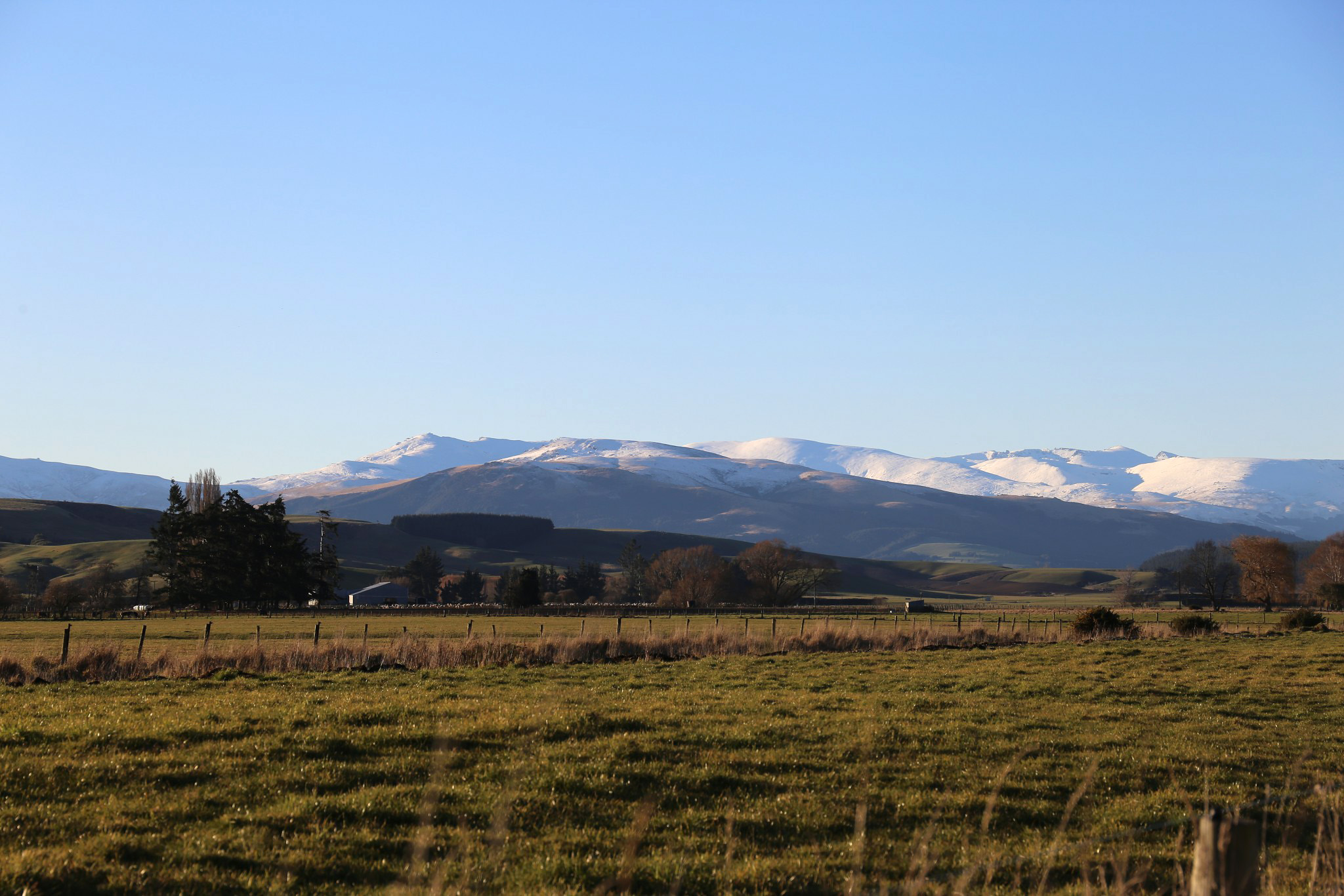
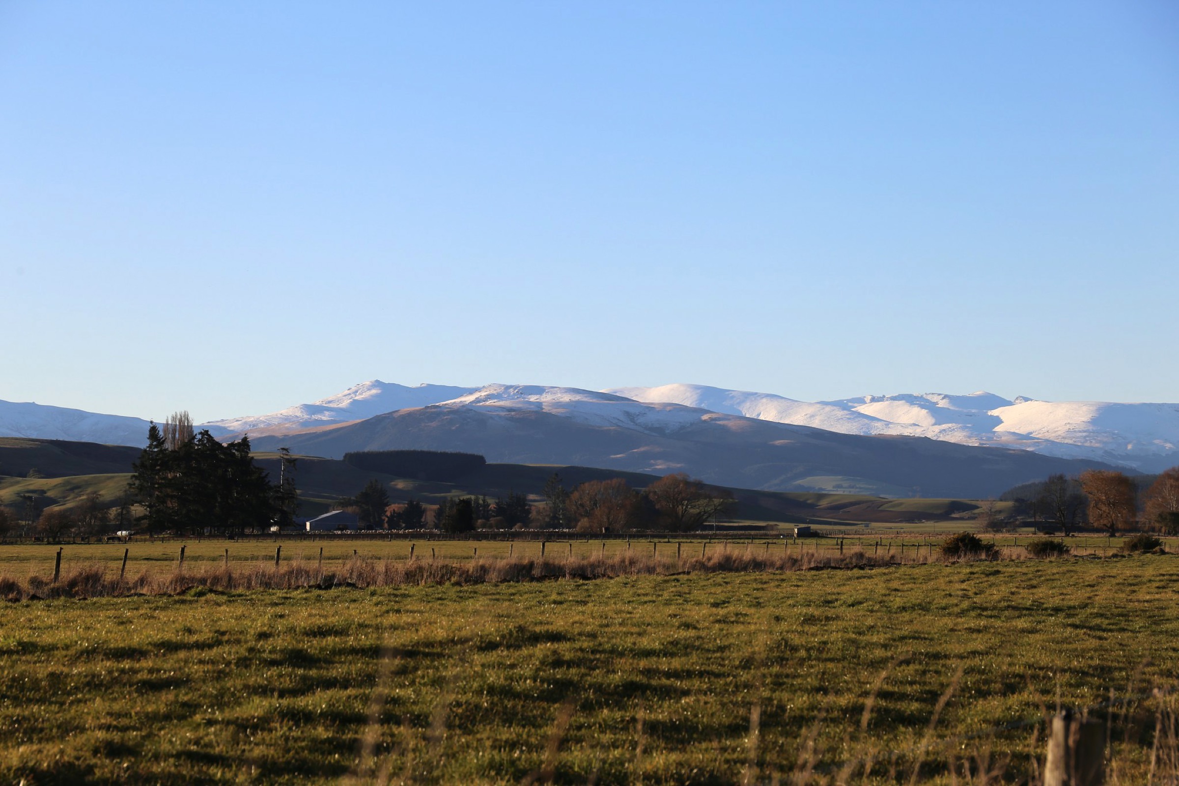
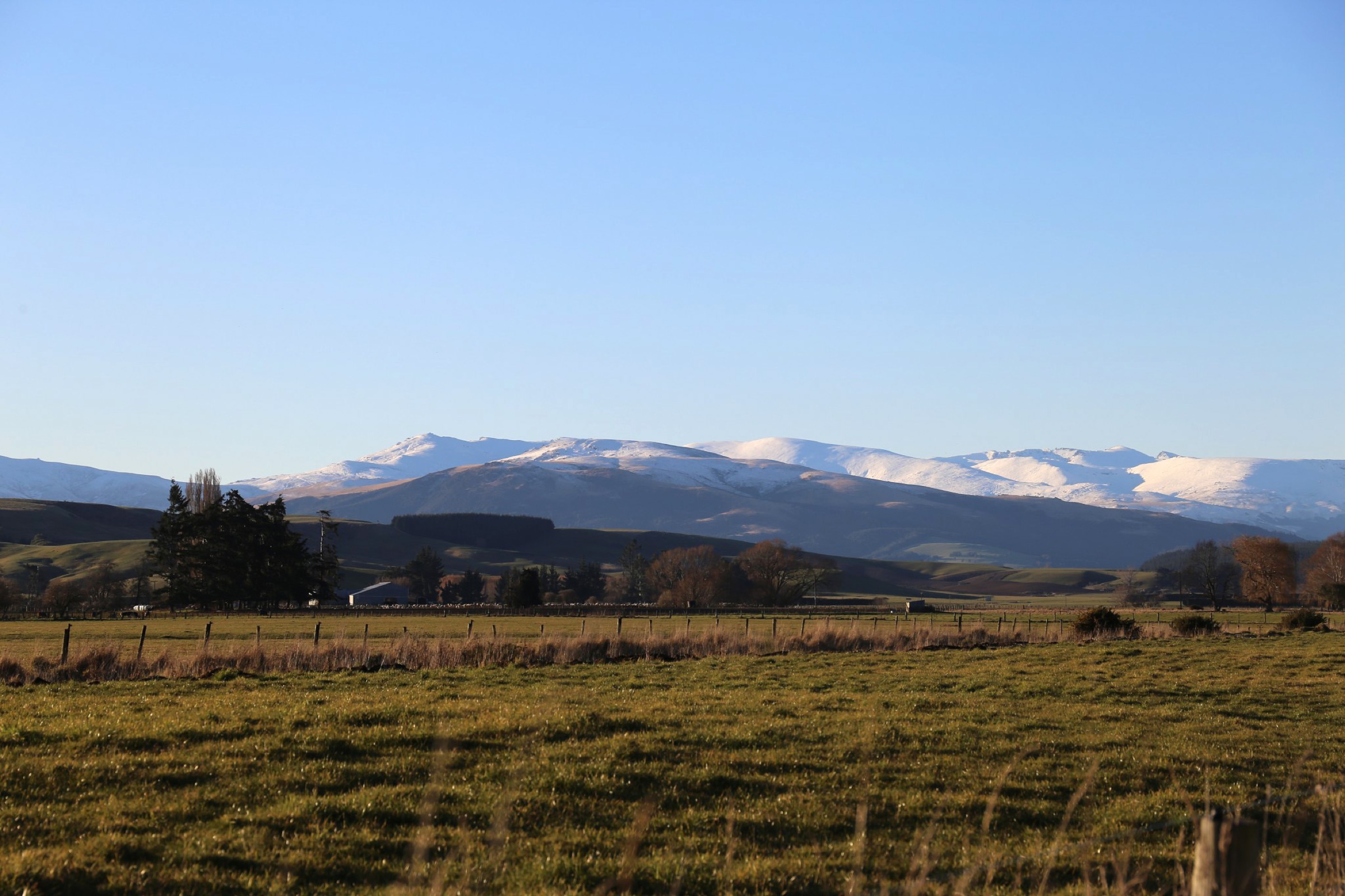
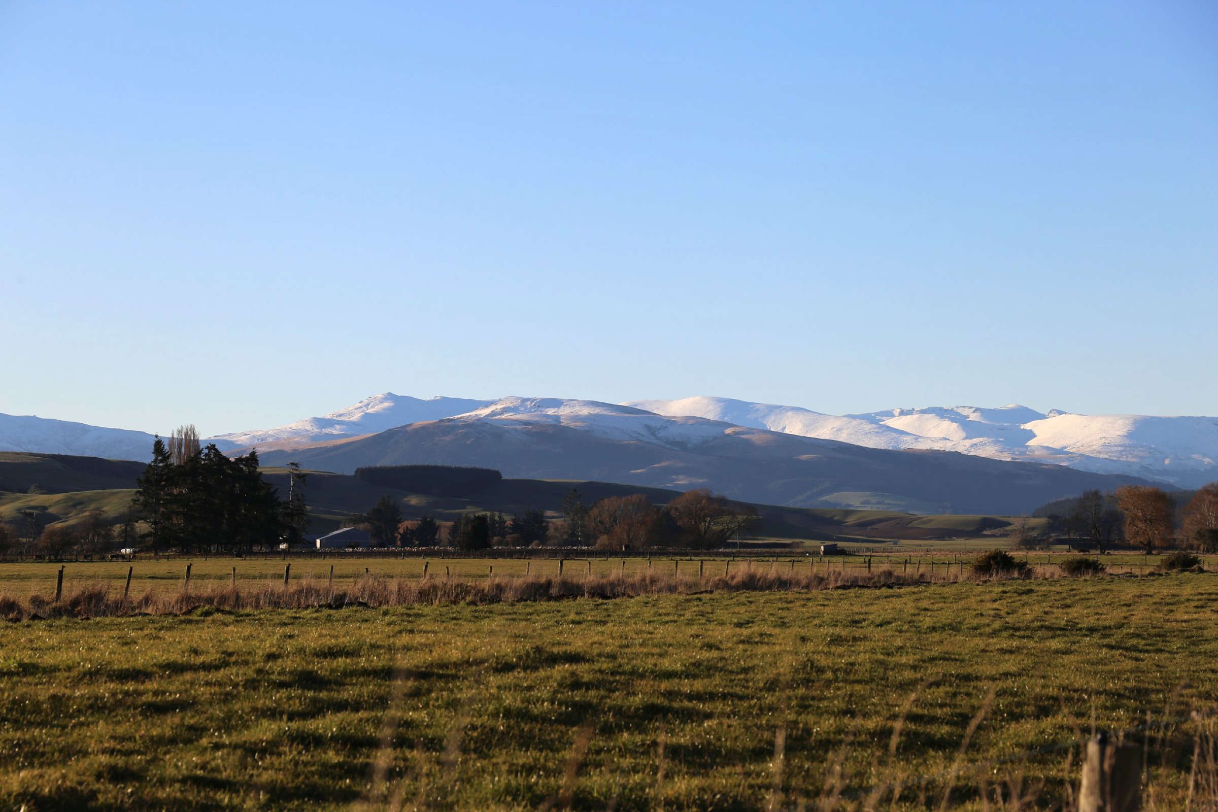
- No licence-compatible route photos for Central Garvie day walks were found in this pass; the cover of this entry shows the wider Garvie southern-end tussock landscape as regional context rather than a named route.
- Current weather-window advice, river-crossing conditions, hut availability and rescue-response times all need local confirmation before any walking day is planned.
- The Central Garvie tops should be re-researched against Southland / Otago tramping club trip reports, NZTopo50 maps, LINZ easement data and any updated DOC or landowner access notices to identify additional publishable day walks.
Companion guides
- Garvie Mountains — Waikaia Forest and Welcome Rock (merged catalogue entry, forthcoming article). The better-documented northern (Waikaia Forest) and southern (Welcome Rock Trails) sub-blocks of the same range, and the recommended walking destinations for parties looking for confirmed Garvie day walks.
Sources
| Source | URL |
|---|---|
| AllTrails — Potters No. 2 Tramping Track: Huts to Grave route data | Verified via connector, 2026-07-04 |
| OpenStreetMap — Potters Huts (way 1029548317) | openstreetmap.org |
| OpenStreetMap — Potters peak (node 7748173630) | openstreetmap.org |
| Wikimedia Commons — GarvieMtns.jpg (cover image) | commons.wikimedia.org |