New Zealand — Garvie Mountains, Northern Garvies: research viability note
A research-viability note for the northern Garvie Mountains / Garston margin: why this subregion cannot support a standalone five-hike catalogue entry.
The northern Garvie Mountains sit between Southland’s Garston margin and the wider Waikaia headwaters of Central Otago. The area’s walking character is defined by tussock high country, historic gold-mining ground around Nokomai, and a few small private and station-controlled route networks. Unlike the southern Garvies, the northern sector has almost no publicly documented, quantified day-hike inventory in the sources checked for this pass.
Catalogue decision
This subregion cannot support a standard “exactly five essential day-hikes” entry. Only one strong day-hike candidate was verified — the Roaring Lion Trail at Welcome Rock — and it is a booked, privately managed loop rather than a public track. Building four additional named hikes to fill the slate would require inventing route status, promoting unverified station lines as public tracks, or stretching the geography beyond the northern Garvies. Neither is acceptable under the site’s verification rules, so this entry is published as a research-viability note.
The single strong candidate is handled in a merged catalogue entry — Garvie Mountains — Waikaia Forest and Welcome Rock (combined) — which pairs the verified Roaring Lion Trail with the Waikaia Forest routes on the range’s Central Otago side. That merged entry is the correct destination for readers looking for a bookable northern-Garvie day.
Verification summary
Status item
Result
Public five-hike catalogue selection
Not possible from verified sources
Strong verified candidate
Roaring Lion Trail at Welcome Rock — 27 km loop, 543 m gain, 867–1,152 m altitude range, 5–7 hr, 1 October–30 April season
Verified candidate’s access model
Booked private walking / mountain-biking loop; not a public DOC track
Additional verified public routes
None found in this pass
Route statistics for Nokomai / Dome Burn / Garston high-country lines
Not published for public catalogue use
GPX / KML / source route files
The Roaring Lion is captured on OSM as a private way; no other public route files were found
Photo sourcing
One general Garvie Mountains landscape image located; no route-specific open-licence photos found
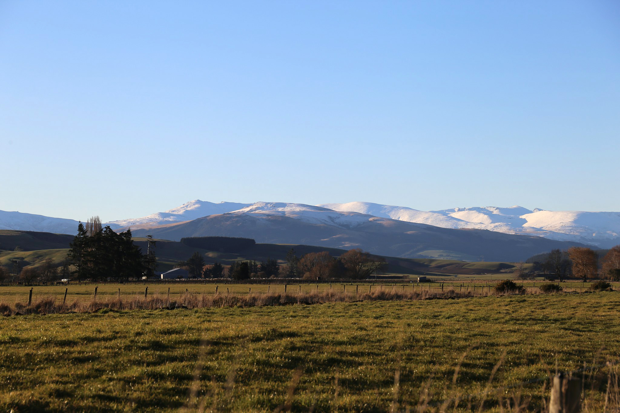
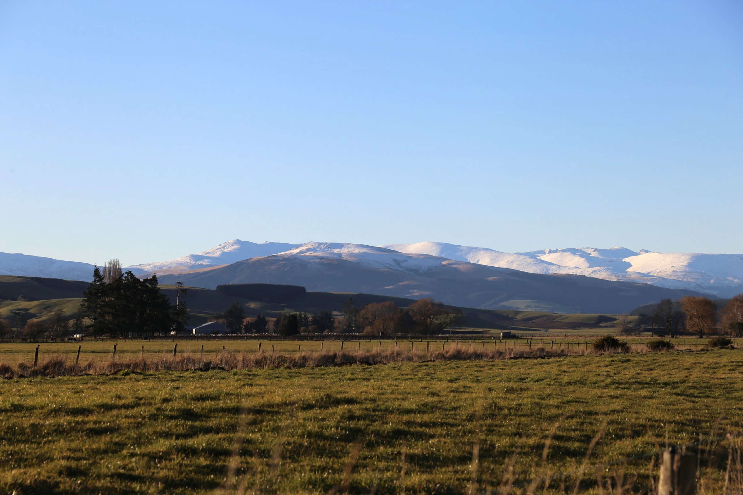
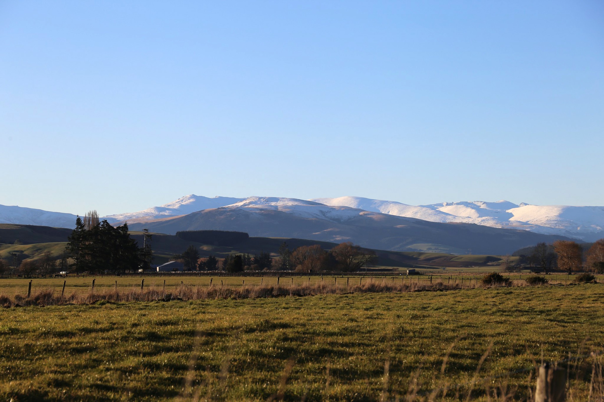
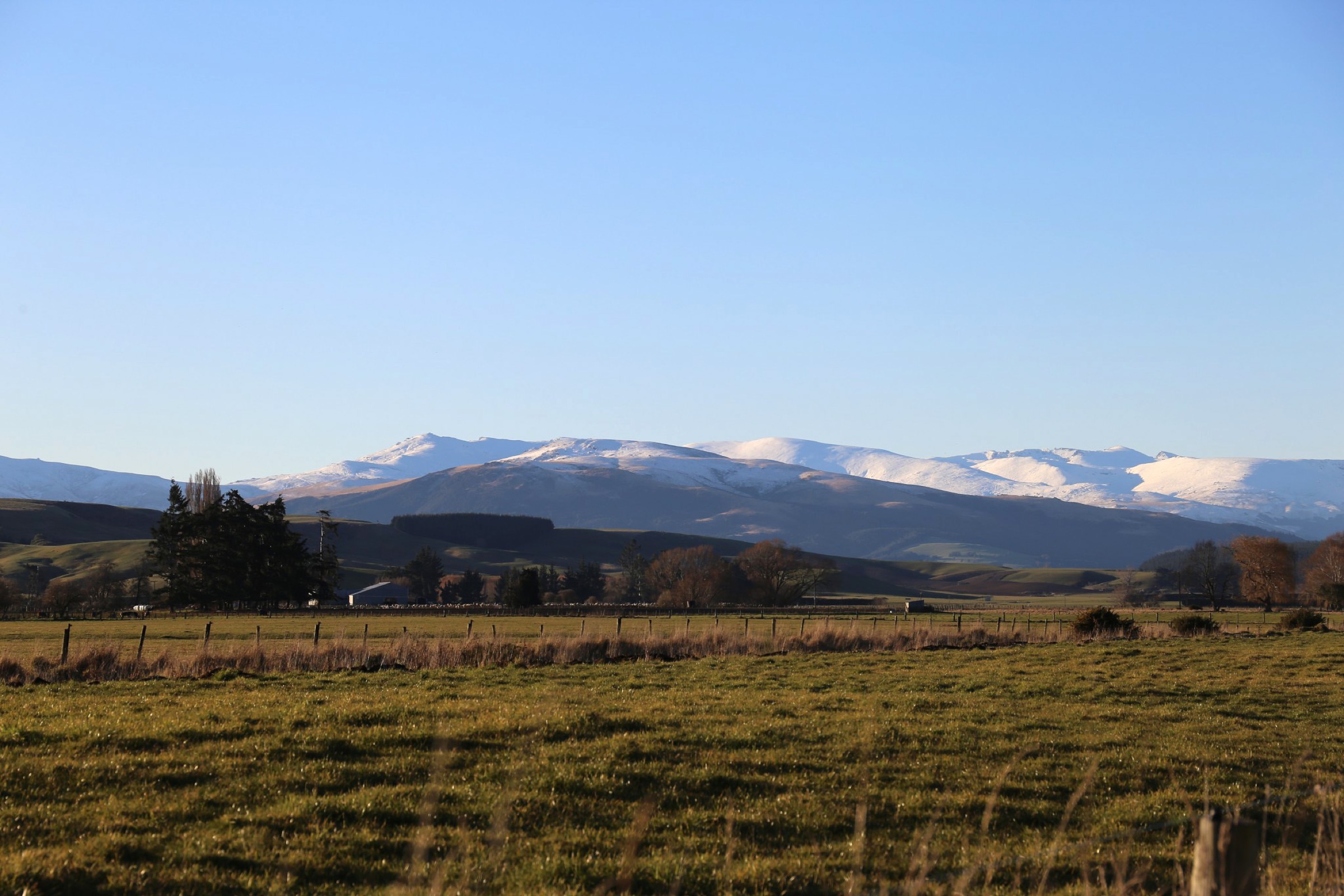
View north-west across the Garvie Mountains from near the Garvie Burn's confluence with the Waikaia River. Photo: TheKiwiAbroad, CC BY-SA 4.0, via Wikimedia Commons.
Candidate inventory
#
Candidate
Verification status
Notes
1
Roaring Lion Trail / Welcome Rock Loop
Partially verified
Official Welcome Rock pages verify a 27 km loop, 543 m gain, 867–1,152 m altitude range, 5–7 hr walking time, booked and privately managed access, and a 1 October–30 April hiking / biking season. Captured as a private way on OSM.
2
Nokomai / Welcome Rock local walks
Not selected
History and place context exist, but no additional verified public day-hike route with published statistics was found.
3
Garvie high-country 4WD / station routes
Not selected
Legal public access, exact route line, and day-hike statistics are all unresolved from the sources checked.
The one strong candidate — Roaring Lion Trail at Welcome Rock
Field
Value
Country / sub-region
New Zealand / Northern Garvie Mountains, Garston margin
Route type
Booked private loop, walking or mountain biking
Distance
27 km loop
Elevation gain
~543 m
Altitude range
867–1,152 m
Estimated walking time
5–7 hours
Season
1 October – 30 April
Difficulty
Hard (day-length, high-country tussock loop with variable weather)
Access model
Booked and paid; private land — do not walk without a Welcome Rock booking
Verification
Official Welcome Rock trail page, important-information page and trail-map PDF; OSM way 625833589 as a private route
The Roaring Lion is the one route in the northern Garvies for which distance, gain, altitude range, walking time, and season are all published by a single authoritative source (the operator). Because it is privately managed, it is not a public track and cannot be treated as such; the booking rules and seasonal window are enforced. Anyone using the merged Garvie Mountains — Waikaia Forest and Welcome Rock entry should book directly through Welcome Rock before travel.
Not selected, with reasons
#
Candidate context
Why not selected as an essential public day-hike
Verification status
1
Nokomai / Welcome Rock non-Roaring-Lion walks
No verified public day-hike route with published distance, gain, and time in the sources checked
Place context verified; walking route not verified
2
Garvie high-country 4WD / station routes
Public-access legality, exact line, and day-hike statistics all unresolved; not safe to catalogue as public tracks
Not verified
3
Dome Burn and Garston-side high country
No authoritative walking source found in the pass
Not verified
Access notes
Welcome Rock is a private property. The Roaring Lion Trail is accessed by advance booking through the operator, which sets the trail’s opening season and enforces its own rules on group size, camping, and shared bike / walker use. Do not attempt to enter Welcome Rock land — or the surrounding station country — without a current booking or explicit landowner permission. Nokomai and Garston are working farming and station landscapes; casual off-road walking on private land is not the same thing as a public tramping route.
Confirm whether any public DOC, council, LINZ easement, or tramping-club routes exist around Nokomai, Dome Burn, Garston, or the northern Garvie high country before revisiting a standalone five-hike entry.
Locate authoritative local walking sources for the northern Garvies specifically (not the southern range).
Source route-specific open-licence photos for any additional verified routes. None were found in this pass; the only usable Garvie landscape image was TheKiwiAbroad’s general Garvie Mountains view above.