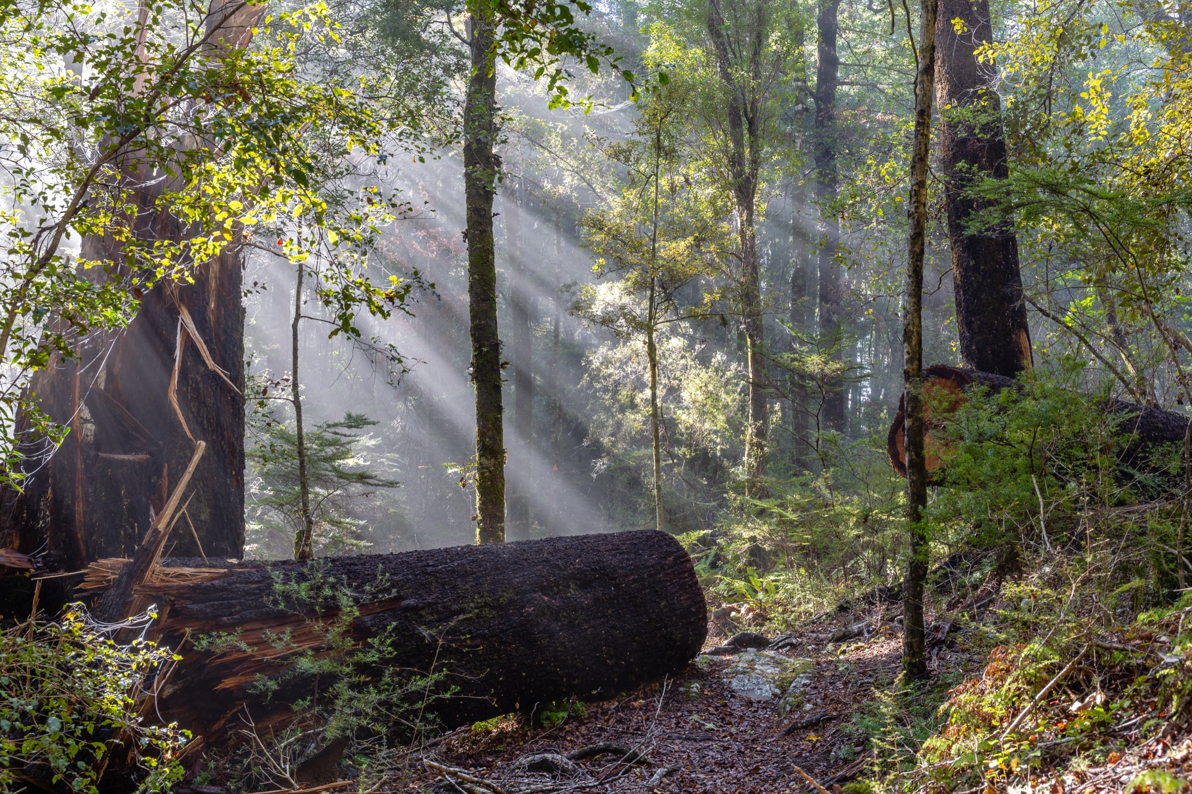
Regional overview
The southern Bryant Range day-hiking area covers the Nelson and Richmond-side gateways into the range: Maitai Dam, the mineral belt around Dun Mountain and Coppermine Saddle, Wooded Peak, the Hacket Valley, Whispering Falls, and the Roding / Champion Mine country. It is the most varied Bryant Range day-hike sector, combining Great Ride infrastructure, rougher tramping tracks, historic mining routes, limestone and marble features, and long exposed mineral-belt circuits.
DOC’s Mount Richmond Forest Park information applies to much of the Hacket and mineral-belt country. Nelson Trails and Heart of Biking provide the clearest route-level details for day use. Some tracks are shared with mountain bikes, some prohibit dogs because of water reserves, and several routes carry rockfall, washout, or old-mining hazards.
Access is from Nelson via Brook Street or the Maitai Valley, and from Richmond via Aniseed Valley for the Hacket routes and the Roding Valley for Champion Mine.
Selection rationale
These five hikes cover the southern Bryant essentials: the Dun Mountain mineral-belt summit circuit, the Coppermine Saddle day-hike variant of the Great Ride, Wooded Peak as the intermediate high objective, the Hacket Track to Whispering Falls and Hacket Hut as the range’s flagship valley walk, and the Champion Mine Circuit as its strongest mining-heritage day. Together they cover the range’s best-known day objectives, strongest heritage routes, and most distinctive geology.
Summary table
| # | Hike | Country | Route type | Distance | Max elevation | Difficulty |
|---|---|---|---|---|---|---|
| 1 | Dun Mountain Circuit | New Zealand | Circuit | 22.7 km | 1,143 m at Little Twin | Hard |
| 2 | Coppermine Trail to Coppermine Saddle | New Zealand | Out-and-back (walking variant) | ~20 km return from Maitai Dam | 878 m | Moderate–hard |
| 3 | Wooded Peak Circuit | New Zealand | Circuit | 22.9–23.8 km | 1,111 m | Hard |
| 4 | Hacket Track to Whispering Falls / Hacket Hut | New Zealand | Out-and-back | 7.7–11.6 km return | 270 m at Hacket Hut | Moderate–advanced |
| 5 | Champion Mine Circuit | New Zealand | Circuit | 13.3 km | 739 m | Hard |
Before you go
Permits and access
The mineral-belt and Wooded Peak routes cross a mix of Nelson City / Tasman District reserves and Mount Richmond Forest Park; day walking does not require a permit. The Hacket and Champion Mine routes lie within or adjacent to the Roding and Maitai Water Reserves and the wider Mount Richmond Forest Park — dogs are prohibited in the Roding and Maitai Water Reserves. Some sections are shared with mountain bikes on the Coppermine Great Ride corridor; expect two-way shared use.
Standard southern Bryant day-hiking kit
The mineral-belt circuits are long, exposed hill days; the Hacket and Champion Mine routes are wet-forest walks. Carry:
- Sturdy boots or strong trail shoes, waterproof / windproof shell, warm insulating layer, hat and sun cover, food, and — for the mineral-belt days — more water than you think you need, since the ultramafic tops carry no reliable water.
- Map and compass with GPS backup; some poled sections on the Wooded Peak line are not always obvious.
- Personal locator beacon (PLB); mobile coverage is patchy on the tops and absent in the Hacket and Roding valleys.
- Headtorch, first aid, and emergency shelter for the long circuits.
- Trekking poles help at the Hacket creek crossings and washouts.
Common hazards
The mineral-belt ridges are hot, exposed, and prone to fast weather change; navigation and water supply are the main risks. The Hacket Track carries many slips, washouts, and high falling-rock risk — DOC advises avoiding it during heavy rain. Champion Mine and the wider Roding network have abandoned shafts and loose spoil; do not enter mine tunnels. Shared-use sections on the Coppermine corridor need standard trail etiquette.
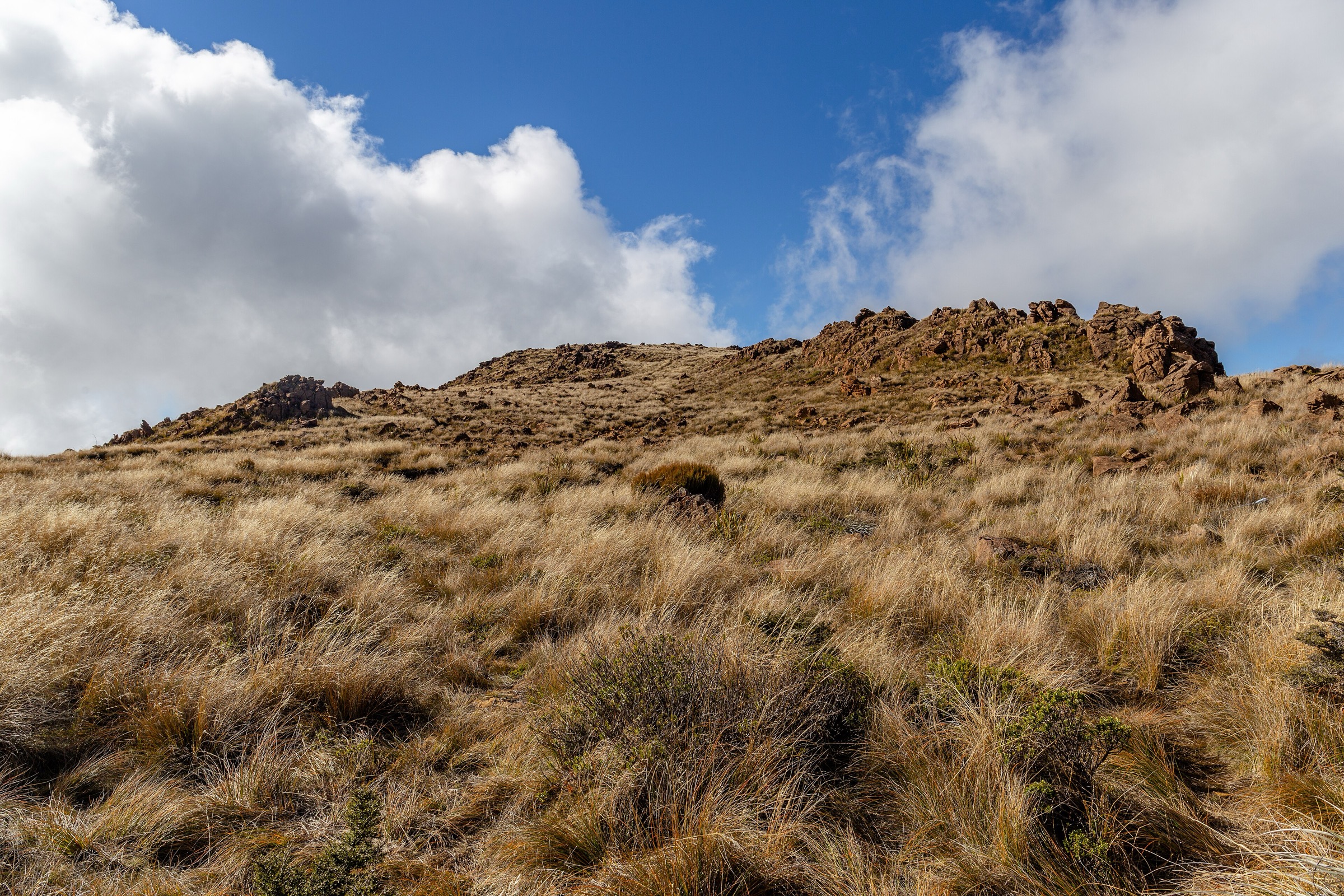
1. Dun Mountain Circuit
Snapshot
Itinerary
From Maitai Dam, climb through the Rush Pool and mineral-belt route network toward Coppermine Saddle and Dun Saddle, then continue to Dun Mountain and the Little Twin high point before looping back through the Dew Lakes side of the circuit. The route uses a mix of walking tracks, shared trail sections, and exposed mineral-belt terrain.
Why it is essential
Dun Mountain is the defining southern Bryant Range summit and mineral-belt landscape. The circuit combines the range’s geology, its Nelson trail history, high open views, and a major named summit in a single long day.
Hazards and notes
- Exposed to sun, wind, cold, and rapid weather change; no reliable water above the bushline.
- Some sections shared with mountain bikes on the Coppermine corridor.
- Navigation, fatigue, and water supply are the main day-hike risks.
GPX / KML links
| Source | URL | Format | Notes |
|---|---|---|---|
| Nelson Trails Dun Mountain Summit | nelsontrails.co.nz | Route page | Site terms not explicitly open |
| Nelson Trails walking tracks GeoJSON | nelsontrails.co.nz | GeoJSON | Geometry reference; reuse permission unresolved |
| DOC Mount Richmond Forest Park | doc.govt.nz | Official park page | DOC website terms |
Further reading
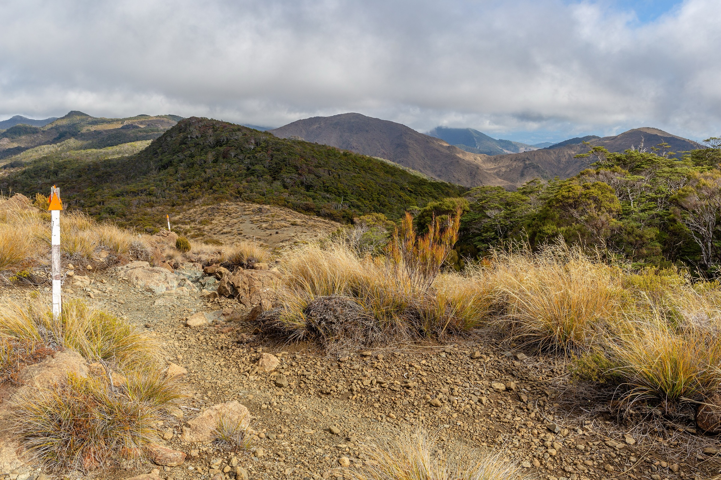
2. Coppermine Trail to Coppermine Saddle
Snapshot
Itinerary
For the day-hike form, start at Maitai Dam and follow the Coppermine Trail alignment up the valley and mineral-belt slopes to Coppermine Saddle, then return the same way. The full Coppermine Trail is primarily promoted as a mountain-bike Great Ride loop, but the saddle section can function as a long walking objective if shared-use etiquette and current access allow.
Why it is essential
Coppermine Saddle is the southern Bryant Range’s best-known crossing and a landmark on the historic Dun Mountain Railway / Coppermine route. It gives a day-hike way into the mineral-belt landscape without committing to the full Dun Mountain circuit.
Hazards and notes
- Patchy mobile coverage; no dogs on the Great Ride corridor around the water reserves.
- Grade 4 descent sections are used by MTB riders on the full loop; expect two-way shared use.
- Carry water for the exposed climb; the saddle has no reliable water.
GPX / KML links
| Source | URL | Format | Notes |
|---|---|---|---|
| Heart of Biking Coppermine Trail | heartofbiking.org.nz | Official Great Ride page | Site terms not checked |
| Heart of Biking Coppermine KML | heartofbiking.org.nz | KML | Official KML route-file candidate |
| Nelson Trails Dun Mountain Trail | nelsontrails.co.nz | Route page | Site terms not explicitly open |
| Nelson Trails walking tracks GeoJSON | nelsontrails.co.nz | GeoJSON | Geometry reference; reuse permission unresolved |
Further reading
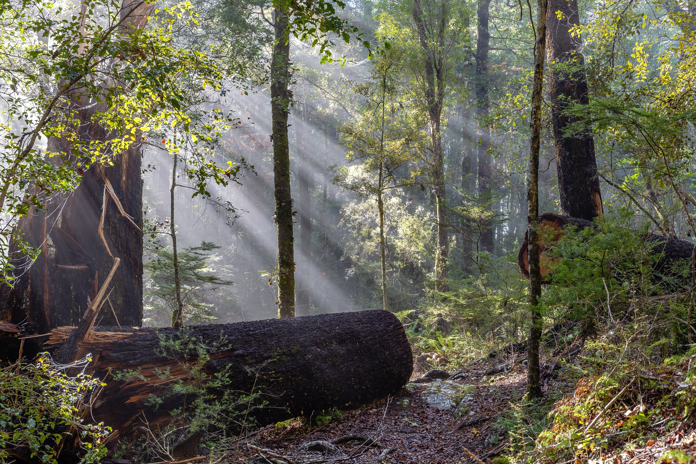
3. Wooded Peak Circuit
Snapshot
Itinerary
Choose either the Maitai Dam or Brook Valley start and use the Coppermine access route to reach the Wooded Peak Track. Nelson Trails describes a 3.7 km Wooded Peak Track section that builds into long circuits via Coppermine and Sunrise Ridge connections.
Why it is essential
Wooded Peak is the main high objective between the Coppermine mineral belt and the Maitai / Brook trail network — the day that links Nelson’s local ridge trails with the southern Bryant Range tops.
Hazards and notes
- Nelson Trails notes that the poled route is not always obvious; navigation backup is essential.
- Dogs are prohibited in the Roding and Maitai Water Reserves.
- Long distances, shared-use sections, and weather exposure make this a full day in exposed hill country.
GPX / KML links
| Source | URL | Format | Notes |
|---|---|---|---|
| Nelson Trails Wooded Peak Track | nelsontrails.co.nz | Route page | Site terms not explicitly open |
| Nelson Trails walking tracks GeoJSON | nelsontrails.co.nz | GeoJSON | Geometry reference; reuse permission unresolved |
Further reading
4. Hacket Track to Whispering Falls / Hacket Hut
Snapshot
Itinerary
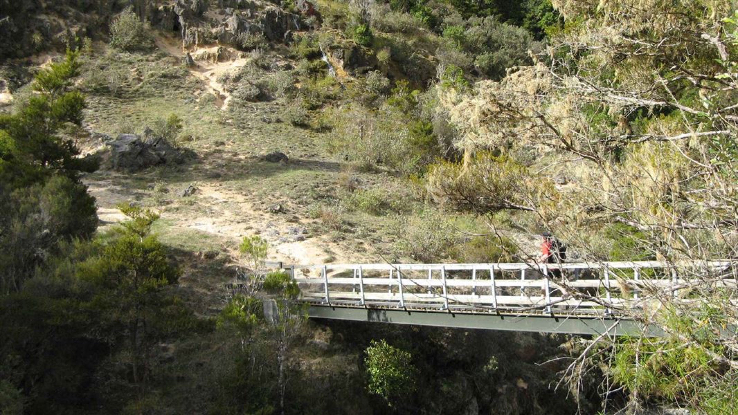
From the Hacket car park, follow Hacket Track up the valley. A shorter day objective reaches the side track to Whispering Falls, while the longer version continues to Hacket Hut before returning the same way.
Why it is essential
Hacket is the southern Bryant Range’s most important valley walk — accessible from Nelson and Richmond, connected to Mount Richmond Forest Park, and offering both a waterfall and a hut objective on the same track.
Hazards and notes
- DOC warns of many slips, washouts, and high falling-rock risk; avoid the track during heavy rain.
- Creek crossings and gorge sections become unsafe when water levels rise.
- Long-drop and stove-only hut facilities; carry cooking gear if planning a lunch stop at Hacket Hut.
GPX / KML links
| Source | URL | Format | Notes |
|---|---|---|---|
| DOC Hacket Track | doc.govt.nz | Official route page | DOC website terms; no GPX found |
| Nelson Trails Hacket Track | nelsontrails.co.nz | Route page | Site terms not explicitly open |
| Nelson Trails walking tracks GeoJSON | nelsontrails.co.nz | GeoJSON | Geometry reference; reuse permission unresolved |
Further reading
5. Champion Mine Circuit
Snapshot
Itinerary
From the Roding car park, follow the historic mining route network through the Champion Smelter, United Mine, and Champion Mine tracks. Nelson Trails describes a full circuit using 4WD road, tramping track, and route sections, with shortcut options in the network.
Why it is essential
The Champion Mine Circuit is the southern Bryant Range’s strongest mining-heritage day hike — the best route for connecting the range’s geology with its human history.
Hazards and notes
- Abandoned shafts, loose spoil piles, and creek crossings; treat mine relics as heritage features, not entry points.
- Do not enter mine tunnels or shafts.
- High-flow risk after rain; the network drains quickly through the Roding side streams.
- Dogs are prohibited in the Roding Water Reserve.
- No licence-compatible route-specific image was located for this entry.
GPX / KML links
| Source | URL | Format | Notes |
|---|---|---|---|
| Nelson Trails Champion Mine Circuit | nelsontrails.co.nz | Route page | Site terms not explicitly open |
| Nelson Trails walking tracks GeoJSON | nelsontrails.co.nz | GeoJSON | Geometry reference; reuse permission unresolved |
Further reading
Verification notes
- Nelson Trails is used as the primary distance and maximum-elevation source for the mineral-belt circuits, Wooded Peak, and Champion Mine; elevation gain / loss and standalone walking times for the Coppermine day-variant remain unresolved.
- Heart of Biking is the official Great Ride source for the full Coppermine loop; distances and times for the bike loop should not be treated as the walking day-variant.
- DOC and Nelson Trails give different difficulty grades for the Hacket Track (DOC: Advanced; Nelson Trails: Moderate). Treat DOC as the operational grading and Nelson Trails as the day-user description.
- Nelson Trails GeoJSON is used as a geometry reference only; open-licence reuse permission has not been confirmed.
Further reading
| Source | URL |
|---|---|
| DOC Mount Richmond Forest Park | doc.govt.nz |
| DOC Hacket Track | doc.govt.nz |
| Nelson Trails | nelsontrails.co.nz |
| Heart of Biking Coppermine Trail | heartofbiking.org.nz |
| Wikipedia — Bryant Range | en.wikipedia.org |
| Wikipedia — Dun Mountain | en.wikipedia.org |
| Wikipedia — Mount Richmond Forest Park | en.wikipedia.org |