Regional overview
The Northern Bryant Range is the low, forested end of the Bryant Range on the Marlborough / Tasman border, where the ridge drops from the higher central Bryants toward the Pelorus River and Pelorus Sound. It is a compact day-walk sector centred on the Pelorus Bridge Scenic Reserve on State Highway 6 between Nelson and Havelock, with two secondary trailheads inland at the Elvy Waterfalls road end and above Havelock on the Takorika bush block.
Three access corridors define the sector. Pelorus Bridge Scenic Reserve is the main trailhead — a signposted DOC reserve with campground, café and short-walk network, immediately off SH6 about half an hour from Havelock. Elvy Road off SH6 near the Rai Saddle end of the reserve gives access to the Elvy Waterfalls Track. Havelock township hosts the Takorika tracks on the low bush hills immediately behind the port.
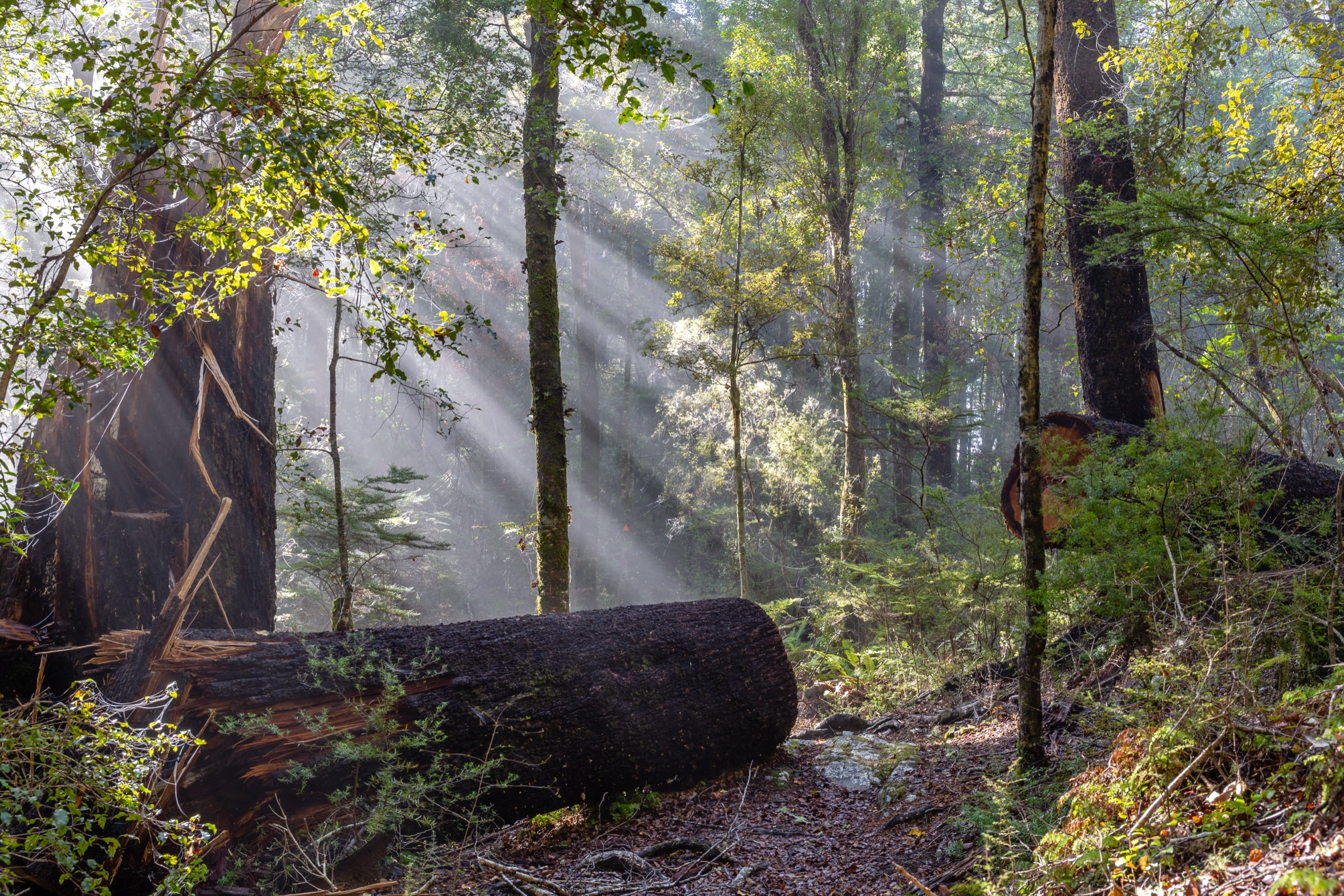
The vegetation is the sector’s signature — remnant lowland rimu, matai, kahikatea and beech forest that survived clearance because the Pelorus Bridge terrain was too steep to farm, plus regenerating tawa, tree ferns and heavy moss cover along the gorge. DOC classifies most tracks here as easy walking or short walks, with the Trig K Circuit as the sector’s most physical objective. All routes are on public conservation or reserve land.
Two catalogue framing notes shape this entry. First, Takorika sits in the low bush hills immediately behind Havelock, and its inclusion under “Bryant Range” is a practical catalogue placement rather than an official DOC sub-region label; the tracks are on public reserve and short-walk land above Havelock port. Second, several distance and elevation figures in the DOC reserve leaflet are given as walking times rather than measured distances; where distances or elevations are not published, this entry states so explicitly.
Selection rationale
The five selections cover the sector’s essential day-walk spectrum. The Circle Walk and Circle Loop Track is the reserve’s signature old-growth loop and the standard entry point. Tawa Walk and Weta Walk together add the reserve’s mid-length forest walk. Elvy Waterfalls Track is the sector’s short waterfall objective from a separate trailhead. Trig K Circuit is the strongest half-day physical route in the sector, giving elevation and Pelorus valley context. Takorika Tracks close the set as the Havelock-side bush option, giving a short-walk network above the port.
Summary
| # | Hike | Trailhead | Route type | Distance | Difficulty |
|---|---|---|---|---|---|
| 1 | Circle Walk and Circle Loop Track | Pelorus Bridge Scenic Reserve car park | Loop | Not published (DOC time: 15 min + 45 min loop) | Easy |
| 2 | Tawa Walk and Weta Walk | Pelorus Bridge Scenic Reserve car park | Combined loop | Not published (DOC time: 1 h loop) | Easy |
| 3 | Elvy Waterfalls Track | Elvy Road end, off SH6 | Out-and-back | Not published (DOC time: 1 h return) | Easy |
| 4 | Trig K Circuit | Pelorus Bridge Scenic Reserve | Loop | Not published (DOC time: 3–4 h) | Moderate |
| 5 | Takorika Tracks | Havelock township | Short-walk network | Not published | Easy |
1. Circle Walk and Circle Loop Track
Snapshot
Itinerary
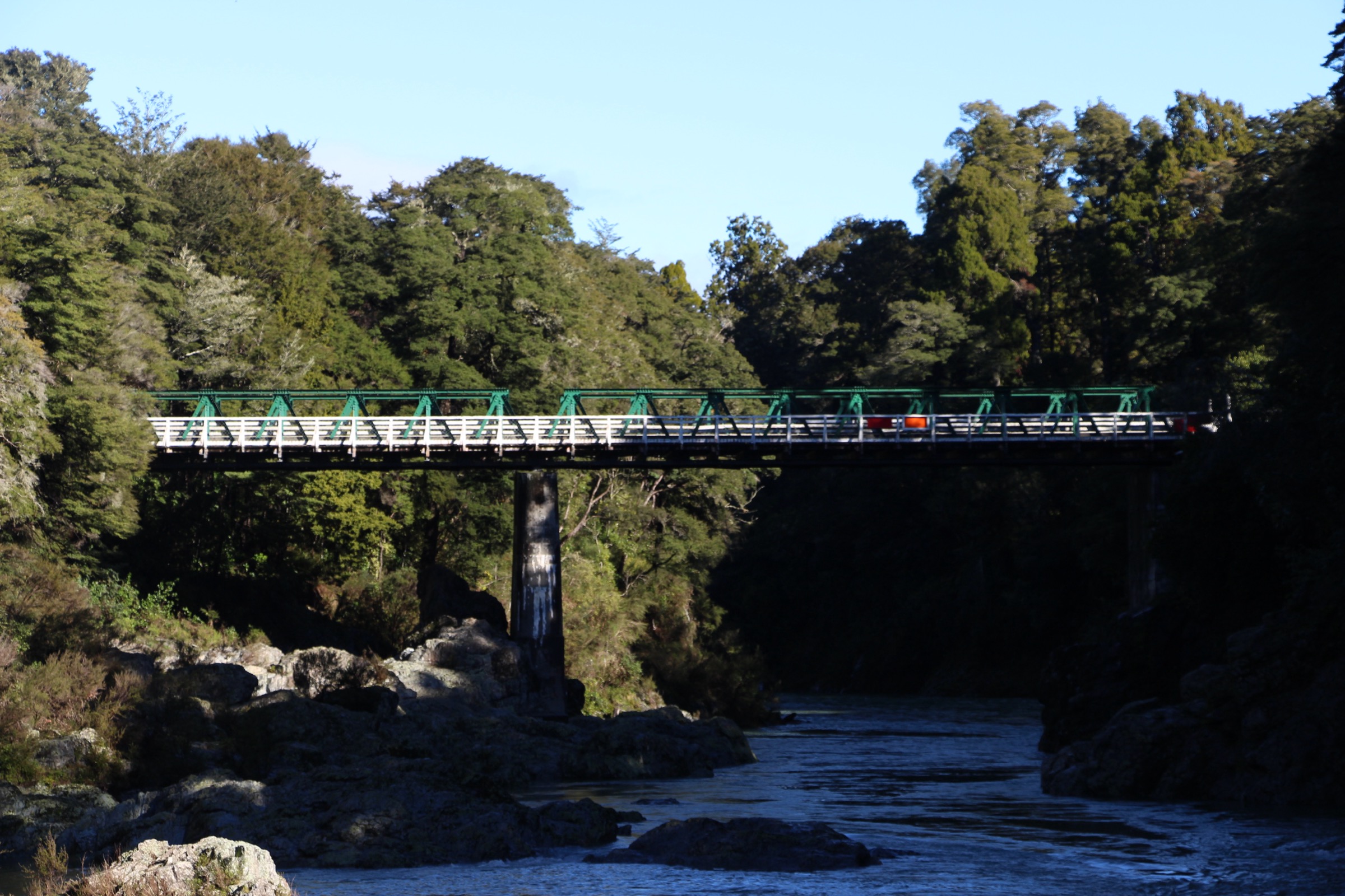
From the reserve car park on the south side of the historic Pelorus Bridge, the Circle Walk drops toward the river through mixed podocarp forest to a gorge viewpoint over the Pelorus and returns through the reserve. The Circle Loop Track extends the same start into a longer loop through tall rimu, matai and beech forest before returning to the car park.
Why it is essential
This is the reserve’s signature old-growth loop and the standard first walk on a Nelson-to-Havelock day trip — the shortest way to see the Pelorus Bridge gorge and one of the best-preserved lowland podocarp remnants in the northern South Island.
Equipment
- Walking shoes or trainers
- Light waterproof shell
- Water and snack
- Sandfly repellent along the river
Hazards and notes
- River-edge sections are exposed to sudden drops in wet weather
- Sandflies along the Pelorus edge in summer
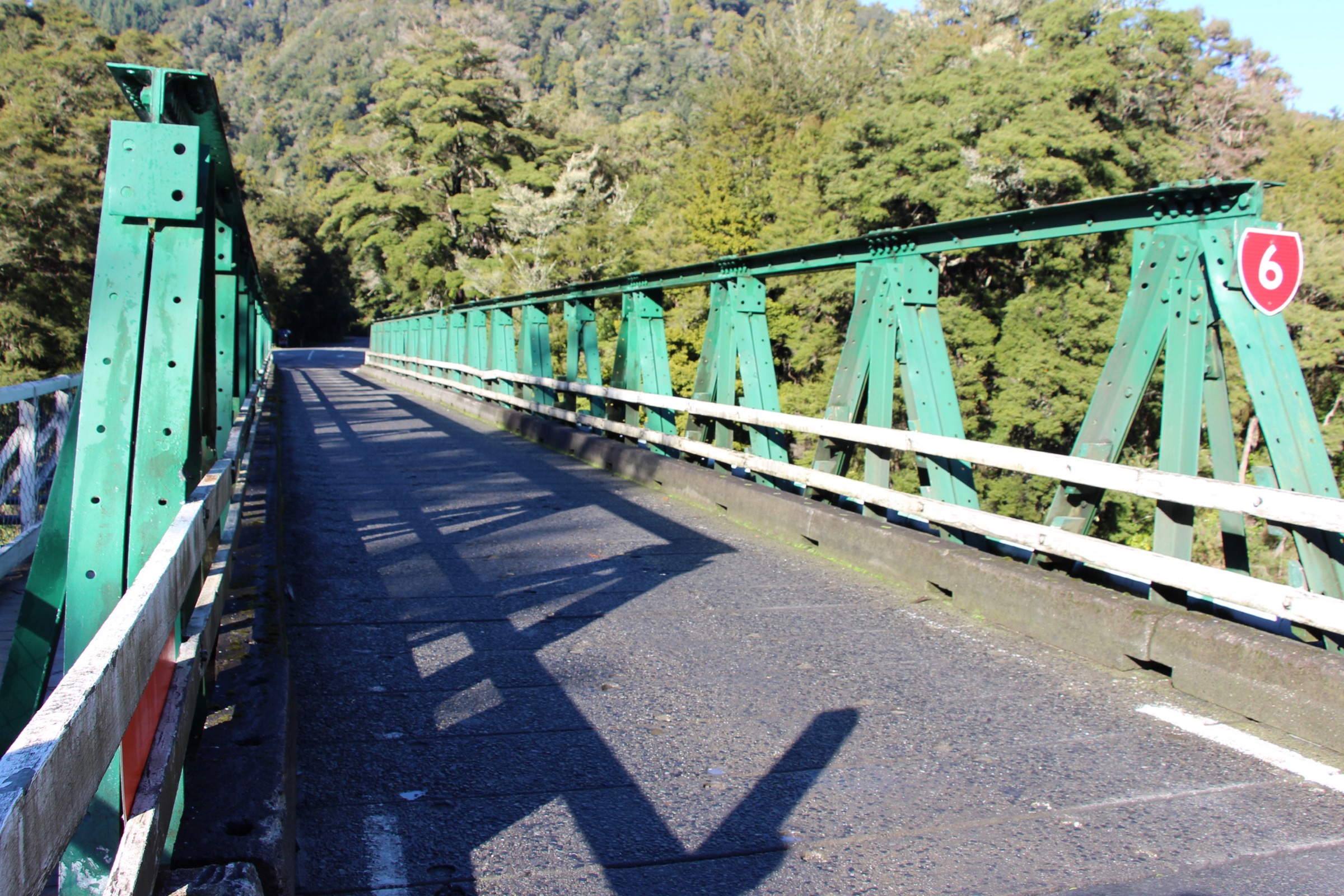
- Historic road bridge is single-lane and shared with traffic — mind the road crossing at the reserve entrance
2. Tawa Walk and Weta Walk
Snapshot
Itinerary
The Tawa Walk climbs gently from the car park through tawa-dominated broadleaf forest on the lower reserve slope. The Weta Walk connects at the top of the Tawa loop and returns through a mixed rimu and beech section back to the car park. Both are linked benched paths through the reserve interior.
Why it is essential
This is the reserve’s mid-length forest walk — the natural step up from the Circle Walk, staying in the old-growth understorey longer and reaching the quieter interior of the reserve away from the river edge.
Equipment
- Walking shoes or trainers
- Light waterproof shell
- Water and snack
- Insect repellent
Hazards and notes
- Root and step surfaces are slippery in wet weather
- Windthrow risk in and after storms — do not enter during high wind warnings
- Stay on marked tracks — do not walk on old moss beds
3. Elvy Waterfalls Track
Snapshot
Itinerary
From the Elvy Road end, the track follows a small side stream through regenerating bush to the Elvy Waterfalls viewing area. Return the same way.
Why it is essential
This is the sector’s short waterfall objective — a self-contained one-hour bush walk on a separate trailhead from Pelorus Bridge, useful as a stopover on the Nelson–Blenheim SH6 drive.
Equipment
- Walking shoes or light hikers
- Light waterproof shell
- Water and snack
Hazards and notes
- Slippery rock near the falls after rain
- Small streams can rise quickly in heavy rain
- Track class detail was not verified in the DOC source in this pass; treat as an easy walking track and plan conservatively
4. Trig K Circuit
Snapshot
Itinerary
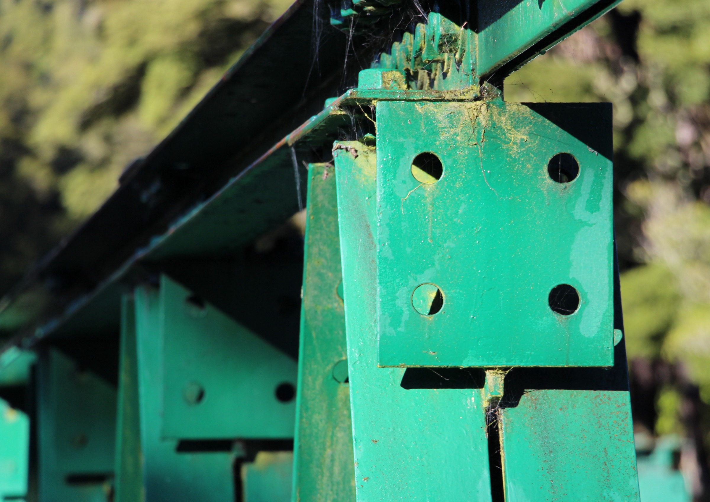
From the reserve car park, the circuit climbs the low ridge above the Pelorus to the Trig K point, then loops back through beech-and-podocarp forest to the reserve car park.
Why it is essential
This is the sector’s strongest physical half-day route — the only objective in the northern Bryant catalogue with sustained ridge climb, giving a distinct elevation profile above the reserve’s flat river-edge walks.
Equipment
- Sturdy walking shoes or light tramping boots
- Waterproof shell, warm layer
- Map, compass and offline GPS
- Headlamp with spare batteries
- 1.5–2 L water and food
- Personal Locator Beacon
Hazards and notes
- Sustained climb on a bench track — pace conservatively in wet conditions
- Windthrow and slip risk after Marlborough storms — check reserve status
- Trig K elevation and route distance were not verified from DOC in this pass; plan by time budget
5. Takorika Tracks
Snapshot
Itinerary
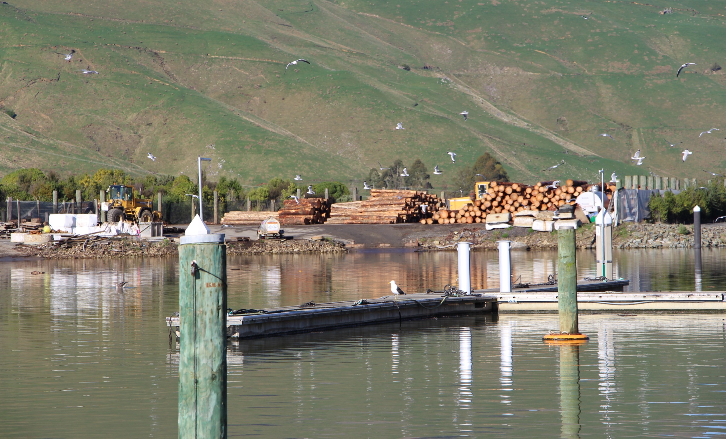
From Havelock township, several short bush tracks climb the low hills immediately behind the port through regenerating native forest, giving views over the Pelorus Sound and the head of the Marlborough Sounds. The exact route selection depends on the current signposted network from the township end.
Why it is essential
This is the sector’s Havelock-side bush option — a compact short-walk network that closes the northern Bryant day-walk set with a Sound-view perspective the Pelorus Bridge tracks cannot give.
Equipment
- Walking shoes or trainers
- Light waterproof shell
- Water and snack
Hazards and notes
- Takorika catalogue placement under the Bryant Range is a practical one, not a DOC sub-region label
- Track network detail was not verified in this pass — check locally in Havelock before departure
- Sandflies in the lower sections in summer
Missing data / follow-up work
- No official GPX or KML downloads for the Pelorus Bridge, Elvy Waterfalls or Takorika tracks were confirmed in this pass.
- DOC does not publish measured distances or elevation figures for most reserve tracks in the source checked — the DOC page gives walking times only.
- Trig K Circuit elevation profile, spot height and route distance need OSM, GPX or measured-geometry verification before publication as a fully resolved objective.
- Elvy Waterfalls Track class detail — walking track vs short walk grade — should be verified against the current DOC page.
- Takorika network should be verified from Marlborough District Council or local reserve signposting for the current signposted route inventory.
Further reading
| Resource | Link |
|---|---|
| DOC — Pelorus Bridge Scenic Reserve | doc.govt.nz |
| DOC — Marlborough places | doc.govt.nz |
| Marlborough District Council — Havelock | marlborough.govt.nz |
| MetService — Marlborough regional forecast | metservice.com |
| Wikipedia — Bryant Range | en.wikipedia.org |
| Wikipedia — Pelorus Bridge Scenic Reserve | en.wikipedia.org |
| Wikimedia Commons — Pelorus Bridge | commons.wikimedia.org |



