Regional overview
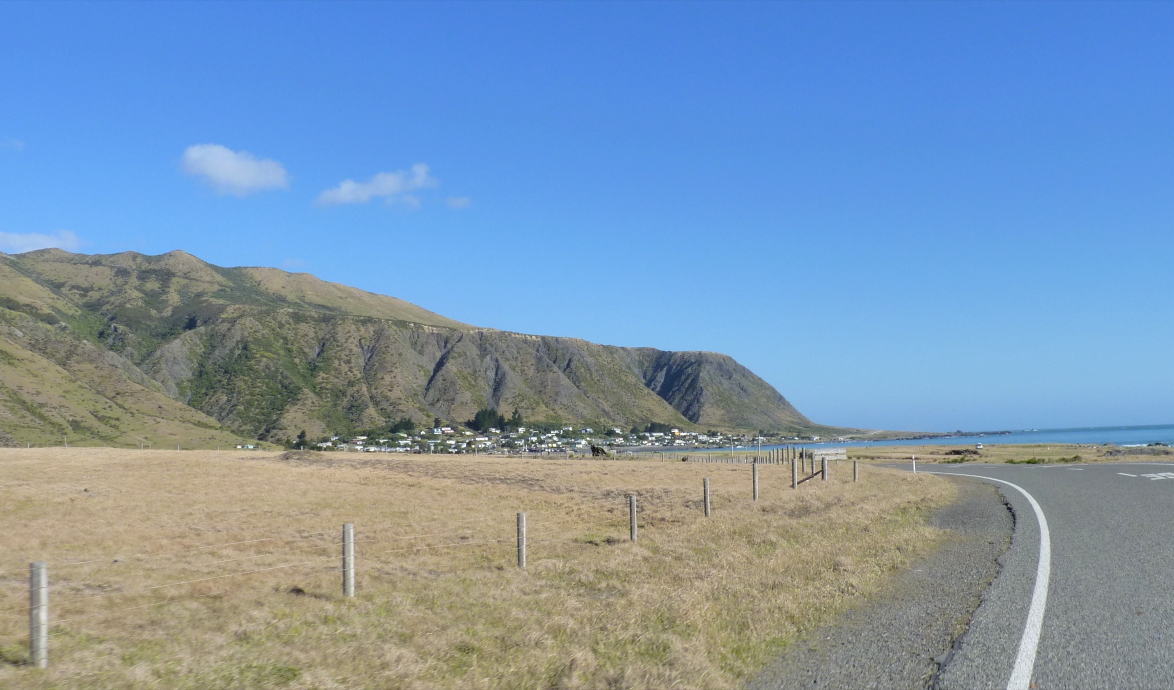
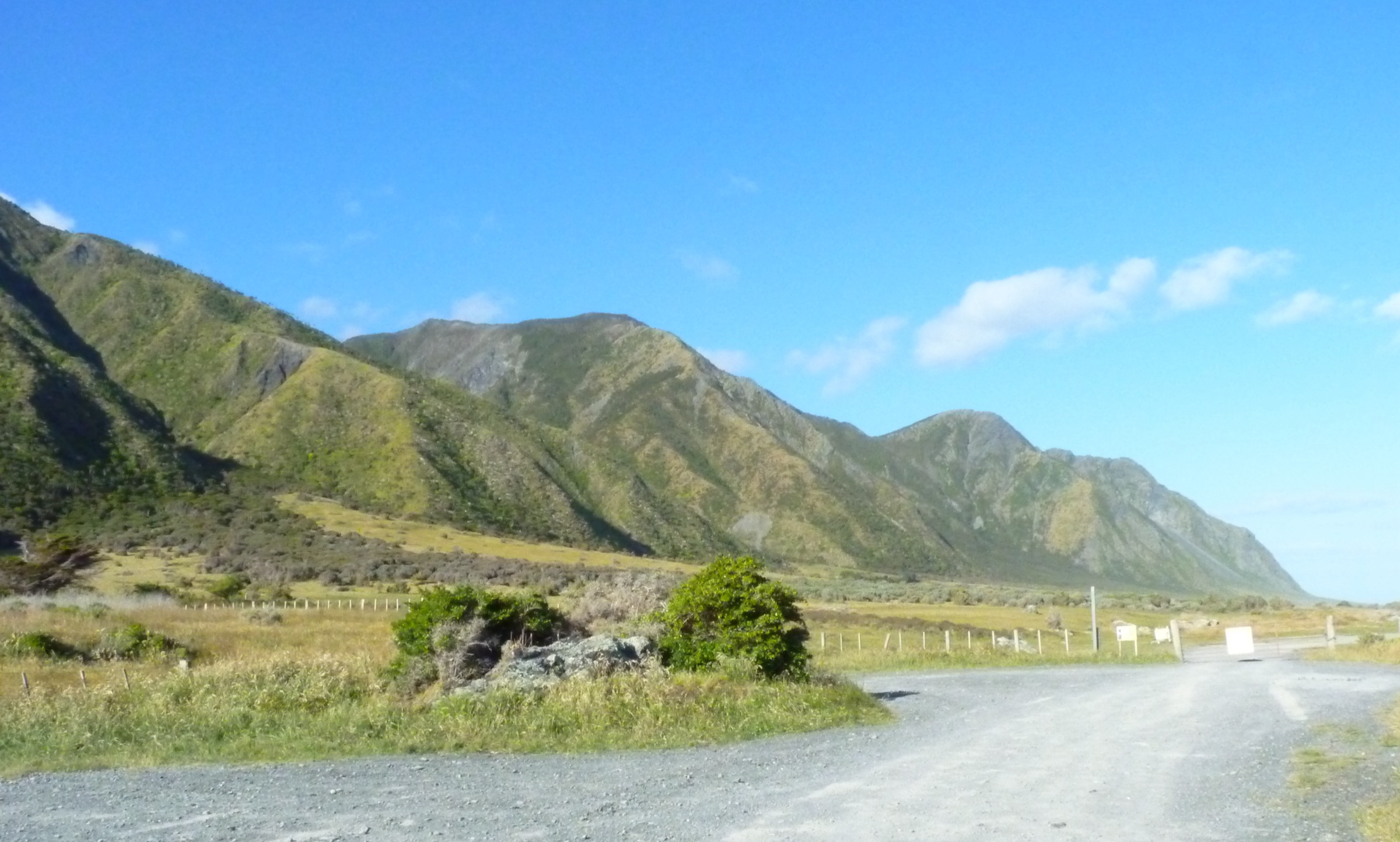
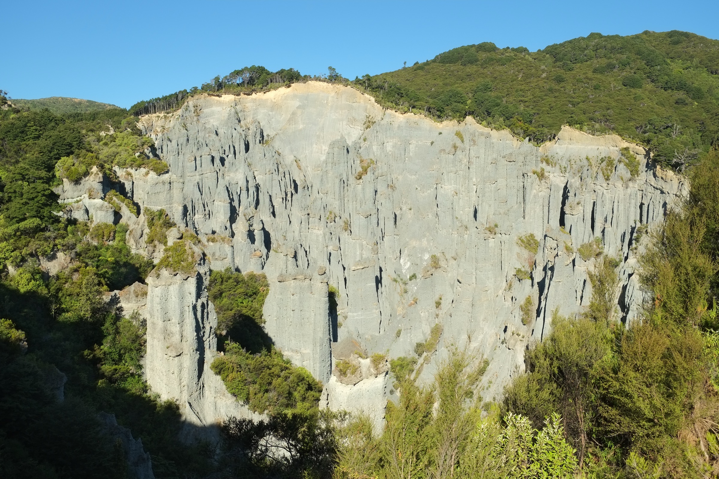
The Southern Aorangi Coast is the strongest verified walking area in the Aorangi Range. It combines four contrasting objectives on one road corridor: the internationally recognised Putangirua Pinnacles earth-pillar badlands, the Cape Palliser Road access into Aorangi Forest Park, the Mangatoetoe Stream road-to-hut approach, and the Cape Palliser Lighthouse at the southern tip of the North Island. The Department of Conservation notes that the western side of the southern section of Aorangi Forest Park is the most popular because road and foot access are easier than elsewhere on the range, and it is where the park’s few verifiable public day walks are concentrated.
The walking character is a mix of short, well-signed reserve tracks at Putangirua and the lighthouse, and advanced tramping-route access into the forest park along Mangatoetoe Stream and the Aorangi Crossing’s lower Putangirua leg. The Aorangi Crossing itself is verified by DOC as a 30 km, two-to-three-day advanced traverse and is not treated here as a day hike — but its road-end approaches from Cape Palliser Road give the two hardest day objectives in this catalogue. Streams and rivers rise quickly in rain across the whole range, and the Putangirua area carries an ongoing landslide and rockfall risk that DOC calls out explicitly on the reserve pages.
The strongest walking season is November to April for the best chance of dry weather and safe stream travel. Southerlies bring cold, wet weather to the coast at any season, and the exposed nature of the country means good navigation, warm and windproof clothing, and river-crossing judgement are essential on the tramping-route objectives. Standard equipment is walking boots with grip, waterproof shell, sun and wind protection, plenty of water on the exposed reserve tracks, and a personal locator beacon on the Aorangi Crossing approaches.
Selection rationale
Four day-scale objectives are presented across the Southern Aorangi Coast. The Putangirua Pinnacles Ridge Track is the signature reserve walk and by far the most accessible objective; the Cape Palliser Road to Washpool Hut leg of the Aorangi Crossing is the most accessible mountain-tramping day out of the coast and the natural progression from the pinnacles into the forest park; the Mangatoetoe Stream to Mangatoetoe Hut route is the shortest verified road-to-hut day outing in the park; and the Cape Palliser Lighthouse climb rounds out the day as the region’s iconic coastal companion walk. The full Aorangi Crossing, the Putangirua stream-bed and base-of-pinnacles route, and any Kawakawa Hut approach via Kawakawa Stream are deliberately not promoted — see the “Routes deliberately not promoted” section for the DOC-based reasons.
Summary
| # | Hike | Sub-region | Route type | Distance | Time | Difficulty |
|---|---|---|---|---|---|---|
| 1 | Putangirua Pinnacles Ridge Track | Putangirua Pinnacles Scenic Reserve | Out-and-back | About 3 km return | About 1 h 30 min return | Easy–intermediate walking track |
| 2 | Cape Palliser Road to Washpool Hut via Aorangi Crossing | Aorangi Forest Park (western side) | One-way advanced tramping | 10 km one way | 4–5 h one way | Advanced tramping track |
| 3 | Mangatoetoe Stream to Mangatoetoe Hut | Aorangi Forest Park (western side) | Out-and-back stream route | About 9 km return | About 3 h return | Advanced tramping route |
| 4 | Cape Palliser Lighthouse climb | Cape Palliser Road end | Short out-and-back stair climb | Short stair climb | Short | Easy–moderate stairs |
1. Putangirua Pinnacles Ridge Track
Snapshot
Itinerary
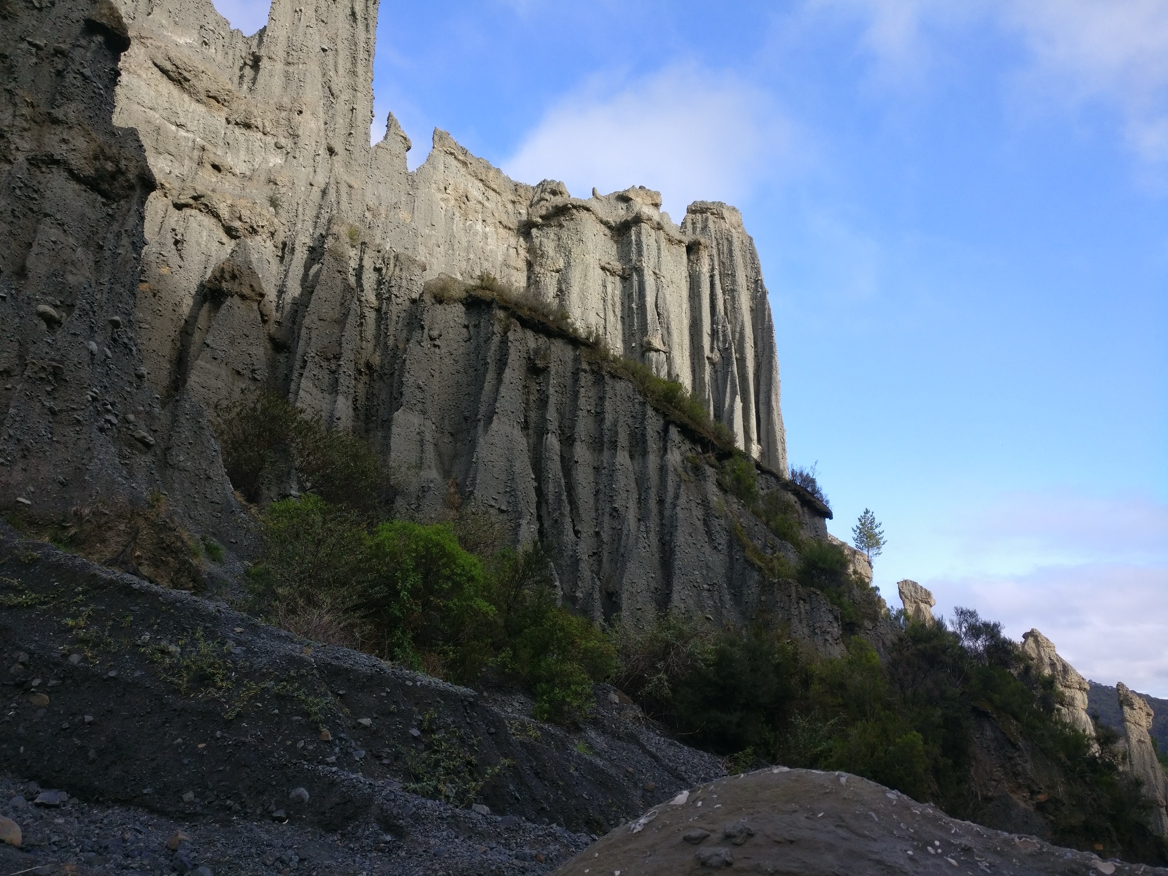
From the Putangirua campsite car park, follow the marked Pinnacles Ridge Track through the reserve to the lookout over the earth-pillar formations. Return the same way. DOC states there is no track to the base of the pinnacles or up the stream beyond the ridge-track turnoff, and that the lookout is the sanctioned viewing point.
Why it is essential
The Putangirua Pinnacles are the signature landform of the Aorangi Range and the best-known day-walk destination on the Cape Palliser coast. The badlands were formed by 120,000 years of rain erosion into an old alluvial deposit and are recognised internationally as a Middle-earth filming location. The Ridge Track gives the sanctioned high viewpoint over the pinnacle field without the flash-flood and rockfall exposure of the stream bed.
Equipment
- Walking shoes with grip for the ridge track
- Water and sun protection — the ridge has no water and is exposed in summer
- Wind layer for exposed sections
- Small daypack
Hazards and notes
- Landslide and rockfall risk — the pinnacles landscape is naturally unstable; keep to the marked track and lookout
- Flash-flood risk in Putangirua Stream — do not descend into the stream bed, especially in or after rain
- Unbridged stream crossings on the approach — check current conditions
- No water on the ridge — carry plenty in summer
2. Cape Palliser Road to Washpool Hut via Aorangi Crossing
Snapshot
Itinerary
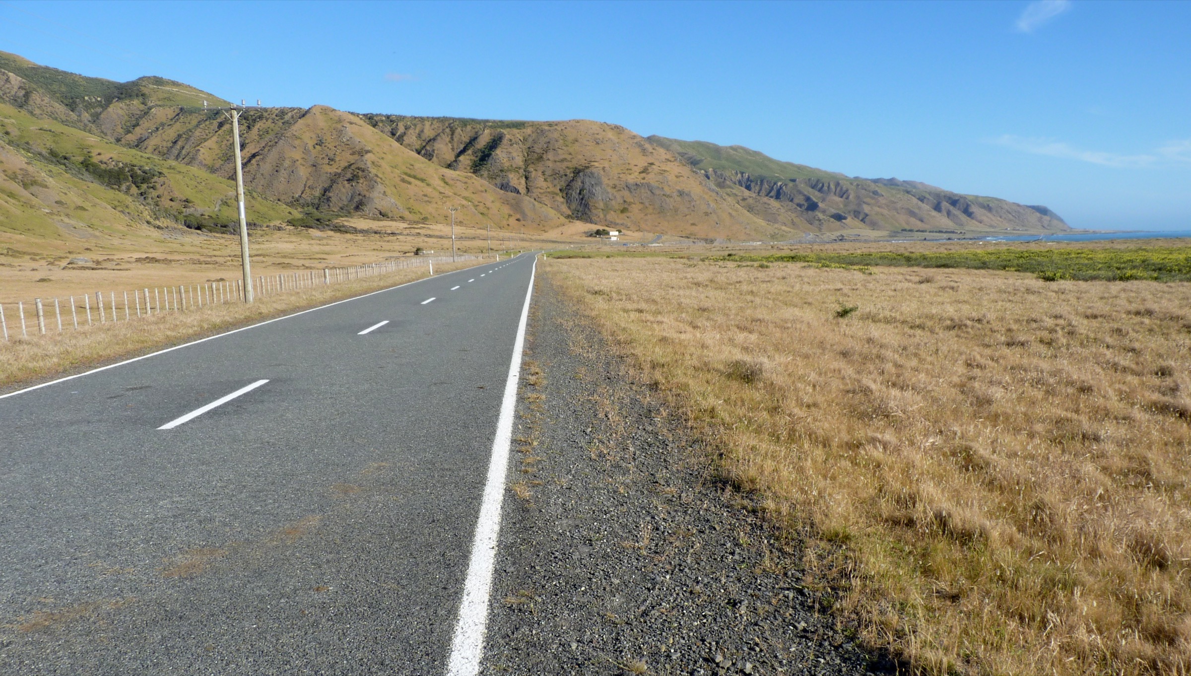
Start on the Pinnacles Ridge Track about ten minutes from the campsite car park, then continue on an old bulldozed track above the pinnacles. Follow the main ridge between Huripi and Putangirua streams, turn along Mt Surf ridge, and descend to the Makotukutuku / Washpool valley and Washpool Hut. The descent to Washpool is steep. This is the most accessible mountain-tramping leg of the Aorangi Crossing and the natural progression from the reserve walk at Putangirua into the forest park interior.
Why it is essential
The Cape Palliser to Washpool leg is the only day-scale mountain-tramping route off the Southern Aorangi Coast that DOC verifies with a clean distance and time. It carries the transition from the pinnacles landform into the forested ridge-and-stream country that defines Aorangi Forest Park, and gives walkers a hut-based objective in a day.
Equipment
- Full day-tramping kit — boots, wet-weather layers, extra food, spare warm layer
- Map, compass and GPS
- Personal locator beacon recommended
- Torch and emergency shelter
Hazards and notes
- Advanced tramping — steep descent to Washpool, sustained navigation and weather exposure
- Unstable Putangirua area at the start — do not descend into the stream bed
- One-way logistics — arrange a shuttle or pick-up at the Washpool road end; a same-day return is only for very fit parties
- Streams rise quickly in rain — check the forecast and delay in unsettled weather
3. Mangatoetoe Stream to Mangatoetoe Hut
Snapshot
Itinerary
From the Mangatoetoe Stream road end on Cape Palliser Road, follow DOC’s Aorangi Crossing access up the stream to Mangatoetoe Hut. DOC describes the Aorangi Crossing leg from the hut to the road end as an unmarked route down the true left of the Mangatoetoe Stream — treat it as stream-route travel rather than a signed track.
Why it is essential
Mangatoetoe is the shortest verified public road-to-hut day outing in Aorangi Forest Park, and gives a compact taste of the range’s stream-based tramping character without the one-way logistics of the Putangirua-to-Washpool traverse.
Equipment
- Sturdy tramping boots suitable for stream travel
- Map, compass and GPS for stream-route navigation
- Personal locator beacon recommended
- Waterproof pack liner and spare warm layer
Hazards and notes
- Unmarked route — navigation and stream-travel judgement essential
- Flash-flood risk — the stream is not safe to travel in high flows
- Delay in unsettled weather — streams take hours to days to drop after heavy rain
- Slippery rock and gravel in the streambed
4. Cape Palliser Lighthouse climb
Snapshot
Itinerary
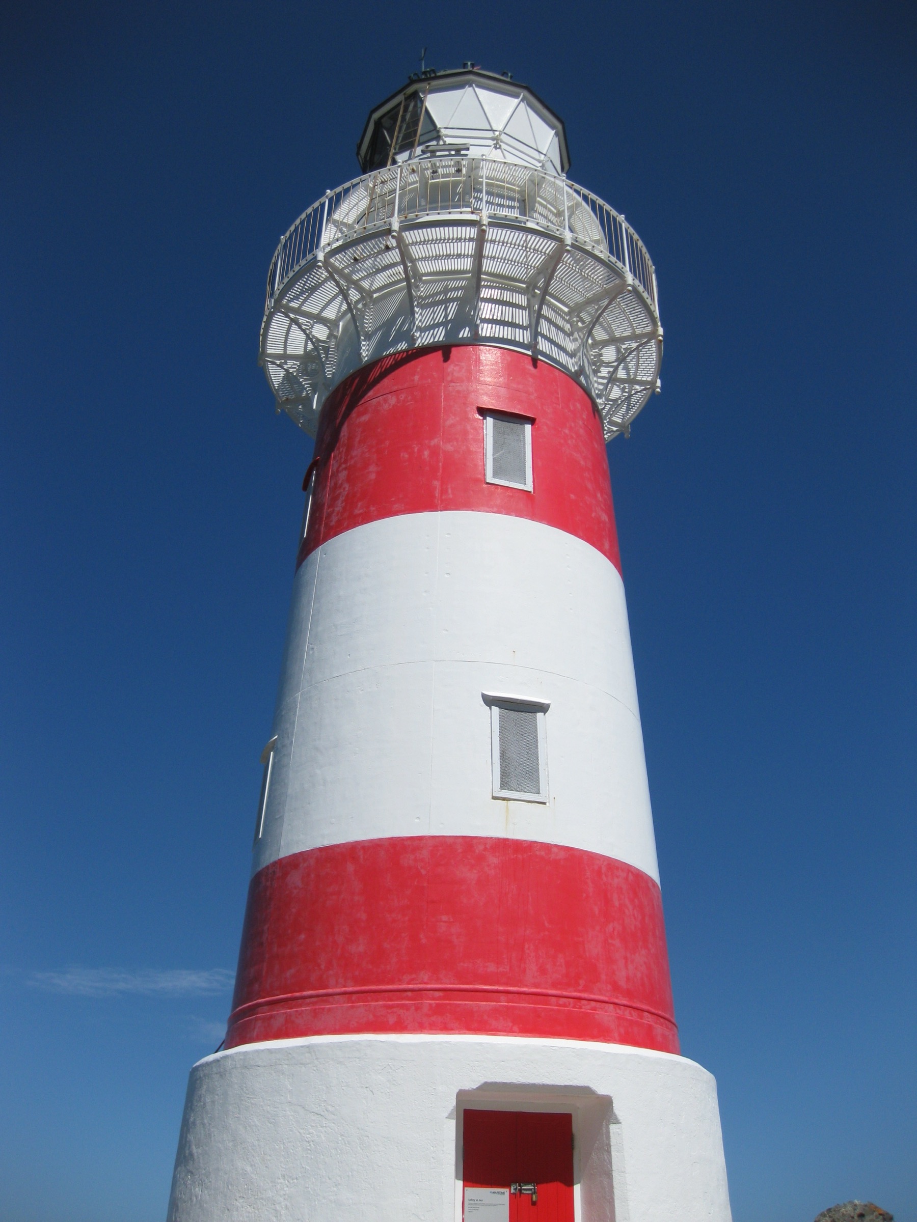
From the lighthouse car park, climb the staircase from the road up to the Cape Palliser Lighthouse and return the same way. The lighthouse is the southernmost point on the North Island road network and a well-known coastal landmark.
Why it is essential
The Cape Palliser Lighthouse is the iconic coastal companion walk to the mountain hikes above — it closes the loop on a Southern Aorangi Coast day and gives a cultural and historical viewpoint over Palliser Bay. It is deliberately included here as a short landmark climb, not as a mountain day hike.
Equipment
- Normal walking shoes
- Wind layer for the exposed cliff
Hazards and notes
- Steep stairs with many steps
- Wind and cliff exposure at the top
- Weather can change quickly on the coast
Routes deliberately not promoted
- Putangirua stream-bed / base-of-pinnacles route — DOC says there is no track to the base of the pinnacles or up the stream beyond the ridge-track turnoff, because of landslide and falling-rock risks.
- Full Aorangi Crossing — DOC verifies it as a 30 km one-way, two-to-three-day advanced traverse, so it is not a day hike.
- Kawakawa Hut direct from Cape Palliser Road via Kawakawa Stream — DOC says the private-land section is closed to the public.
Further reading
- Aorangi Range — Northern Aorangi: regional and access overview — the much thinner-documented northern end of the same range.
- Remutaka Range — Remutaka Forest Park: essential day-hikes — the neighbouring range to the west, sharing much of the southern Wairarapa’s walking access geography.
- Department of Conservation — Aorangi Forest Park — the canonical current-status source for park access, tracks and huts.
Missing data / follow-up work
- Putangirua Pinnacles Ridge Track: elevation gain, loss and maximum elevation are not published on DOC’s route page and should be measured from LINZ contours before any full stats update.
- Cape Palliser Road to Washpool Hut: elevation profile is unresolved from open sources; confirm current shuttle options at the Washpool-side road end.
- Mangatoetoe Stream to Mangatoetoe Hut: elevation profile is unresolved; no licence-compatible route-specific image was found in this pass (DOC hut-page images appear CC BY-NC-ND, which is not commercially reusable).
- Cape Palliser Lighthouse climb: exact step count, ground distance and DOC-verified time are unresolved; the elevation figures are from secondary Wikipedia sourcing and should be replaced with a current Maritime NZ figure when available.