About this entry
This is a regional and access overview rather than a five-hike day-walk catalogue. “Northern Aorangi” is a practical catalogue subdivision used to organise the northern end of the Aorangi Range, not a named Department of Conservation walking area. A dedicated research pass on this sub-block could not identify enough official, legally accessible, route-specific day-hike material to publish a standard “essential day-hikes” entry: the DOC recreation pages for Aorangi Forest Park are concentrated further south around Putangirua Pinnacles, Cape Palliser Road and the Aorangi Crossing corridor, and OpenStreetMap shows only scattered tracks and roads at the range’s north end without confirmed public day-hike routes. Walkers looking for confirmed Aorangi Range day walks should use the wider Aorangi Forest Park entries in the southern sector of the range, or the DOC Aorangi Forest Park visitor centre for current advice.
Regional overview
The Aorangi Range — sometimes still referred to by its earlier name Haurangi — is a rugged forested ridge system at the southeastern corner of the North Island, forming the backbone of Aorangi Forest Park in the southern Wairarapa. The range runs roughly northeast to southwest between the Wairarapa lowlands and the Cape Palliser coast, and separates the Wairarapa side of the park from the Palliser Bay side. Forest cover is dense: podocarp-broadleaf on the lower and mid-slope, sub-alpine and tussock country on the higher tops, and heavy stream and river dissection throughout. The park’s walking landscape is dominated by stream and river access, long ridge tramps, and the Aorangi Crossing as the range’s best-known multi-day traverse; day-walk infrastructure is much sparser than in the neighbouring Remutaka and Tararua ranges further west.
The Northern Aorangi — the middle-northern portion of the range, roughly between the Ruamahanga lowlands and the central Aorangi tops — is a map-based catalogue subdivision rather than a named DOC walking area. The park’s signed day-walk network is concentrated to the south of this zone: the Putangirua Pinnacles Scenic Reserve on the Palliser Bay coast, the coastal walking off Cape Palliser Road, and the ridge-and-stream network reached from the Aorangi Crossing trailheads. At the north end of the range itself, public walking infrastructure is thin, and any walking party should treat the country as remote forested tramping country rather than signed track country.
The strongest walking season is November to April for the best chance of dry weather and safe stream crossings. Rivers and streams in the park rise quickly in rain and can be impassable for days after a heavy front; southerlies bring cold, wet weather to the tops in any season. Good self-sufficiency, warm clothing, weather-window planning and river-crossing judgement are essential across the whole range.
Setting: southern Wairarapa and the wider Aorangi Forest Park
The Aorangi Range sits at the southern end of the Wairarapa in the Wellington Region, on the North Island’s southeast corner. The nearest sealed-road bases are Martinborough and the small settlements along Lake Ferry Road and Cape Palliser Road on the western side of the range, with sealed road access continuing around the southern coast to the Putangirua and Cape Palliser trailheads. Northern-side access is via Ruamahanga Valley back roads and forestry tracks, several of which are subject to landowner permission and current-season conditions.
The wider Aorangi Forest Park walking landscape carries several better-documented sub-blocks that a walking party is much more likely to find publishable day walks in:
- Putangirua Pinnacles Scenic Reserve at the western coastal edge — a well-signed short-walk system through the pinnacle badlands.
- Cape Palliser Road coast at the southern edge — coastal walking, lighthouse and seal-colony viewpoints.
- Aorangi Crossing corridor through the centre of the range — a multi-day tramping traverse with hut-based day-walk possibilities off it.
These sub-blocks sit outside the Northern Aorangi catchment addressed by this entry. The Northern Aorangi remains a tramping-club, map-and-visitor-centre country rather than a signed day-walk country at the time of writing.
Hiking landscape and current data gaps
No verified catalogue-ready day walks were found for the Northern Aorangi in this research pass. The walking objectives below are recorded as context leads only — none should be treated as recommended day hikes without further local sourcing.
- North-end ridge and stream approaches. OpenStreetMap shows scattered tracks and old forestry roads reaching into the north end of the range from the Ruamahanga side. Legal public-access status, current track condition and safe trailhead parking were not confirmed in this pass.
- Farm and forestry access lines. Several potential walking approaches to the northern tops cross private farm and production-forestry land. Landowner permission would need to be confirmed for each candidate route before any public write-up.
- DOC Aorangi Forest Park recreation network. DOC’s Aorangi Forest Park page describes the wider park as rugged Aorangi Range country accessed via major streams, but the official walking and tramping listings are concentrated in the southern sector. No named Northern Aorangi day walk was identified.
What is missing
- No consolidated Department of Conservation day-walk network for the Northern Aorangi was located; DOC’s signed public walking in the park is concentrated further south.
- No confirmed legal public trailhead, current track status or safe parking for any Northern Aorangi walking candidate was verified in this pass.
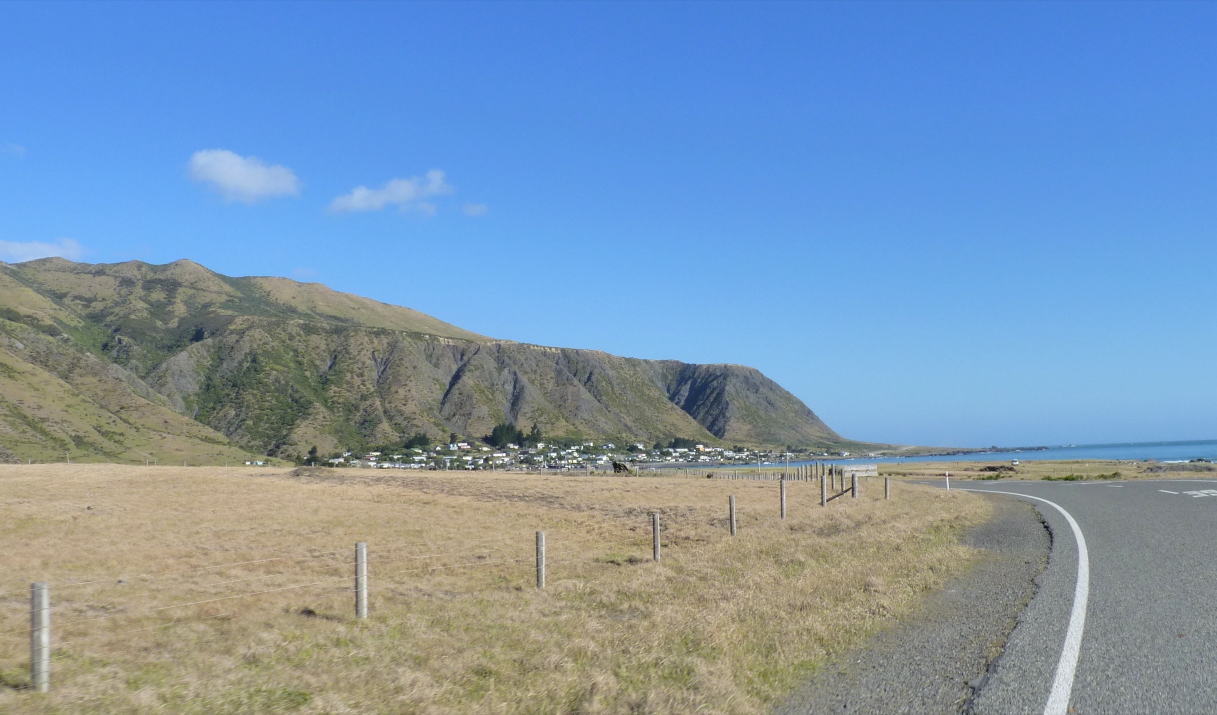
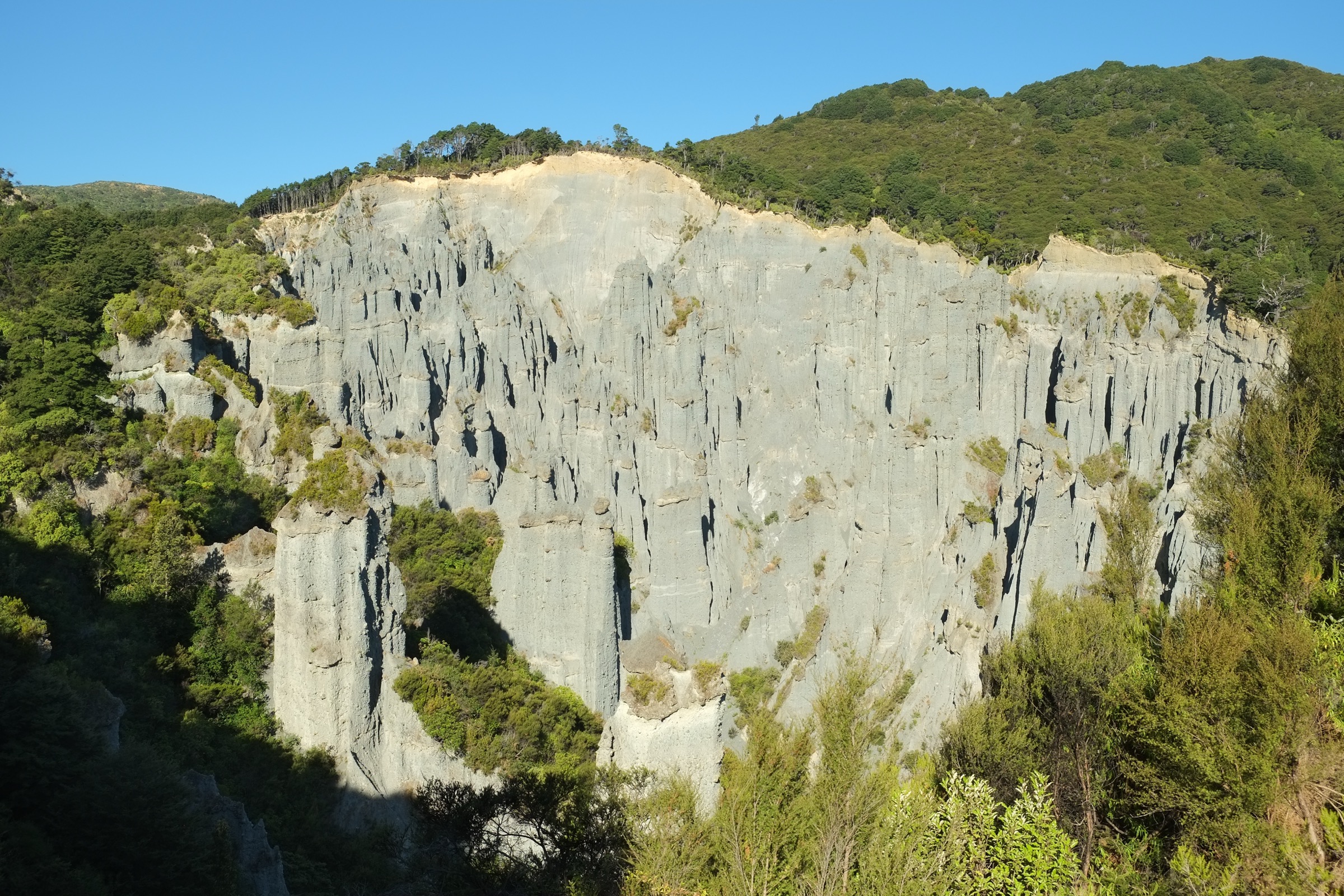
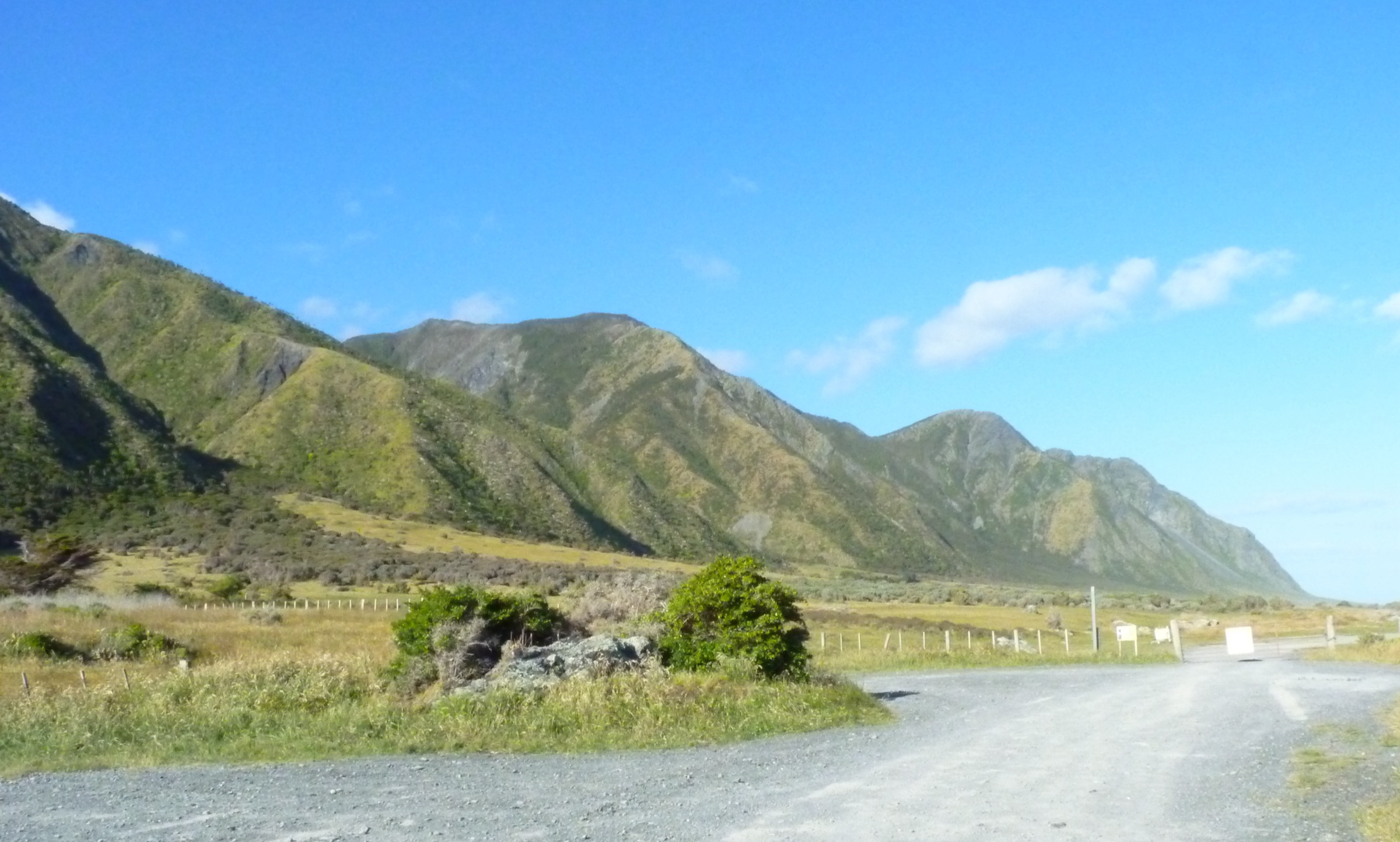
- No licence-compatible route photos for Northern Aorangi day walks were found; the cover of this entry shows Aorangi Forest Park forest-and-ridge landscape from within the wider northern park as regional context rather than a named route.
- Landowner-permission requirements for any farm and forestry approach lines need direct confirmation before any route-scale write-up.
- The Northern Aorangi should be re-researched against Wairarapa DOC visitor-centre advice, NZTopo50 maps, LINZ easement records and Wellington-area tramping club trip reports to identify additional publishable day walks.
Companion guides
- Aorangi Forest Park — southern sector (forthcoming article). The much better-documented southern end of the range, covering the Putangirua Pinnacles, Cape Palliser Road coast and the Aorangi Crossing corridor.
- Remutaka Range — Remutaka Forest Park: essential day-hikes — the neighbouring range to the west, sharing much of the southern Wairarapa’s walking access geography.
Sources
| Source | URL |
|---|---|
| Department of Conservation — Aorangi Forest Park | doc.govt.nz |
| OpenStreetMap — Overpass query over the wider Aorangi bounding box, used to check for named hiking route relations at the range’s north end | openstreetmap.org |
| Wikimedia Commons — Aorangi Forest Park, New Zealand (6).JPG (cover image) | commons.wikimedia.org |