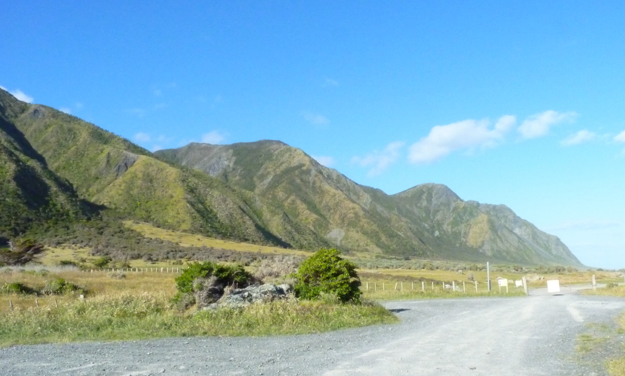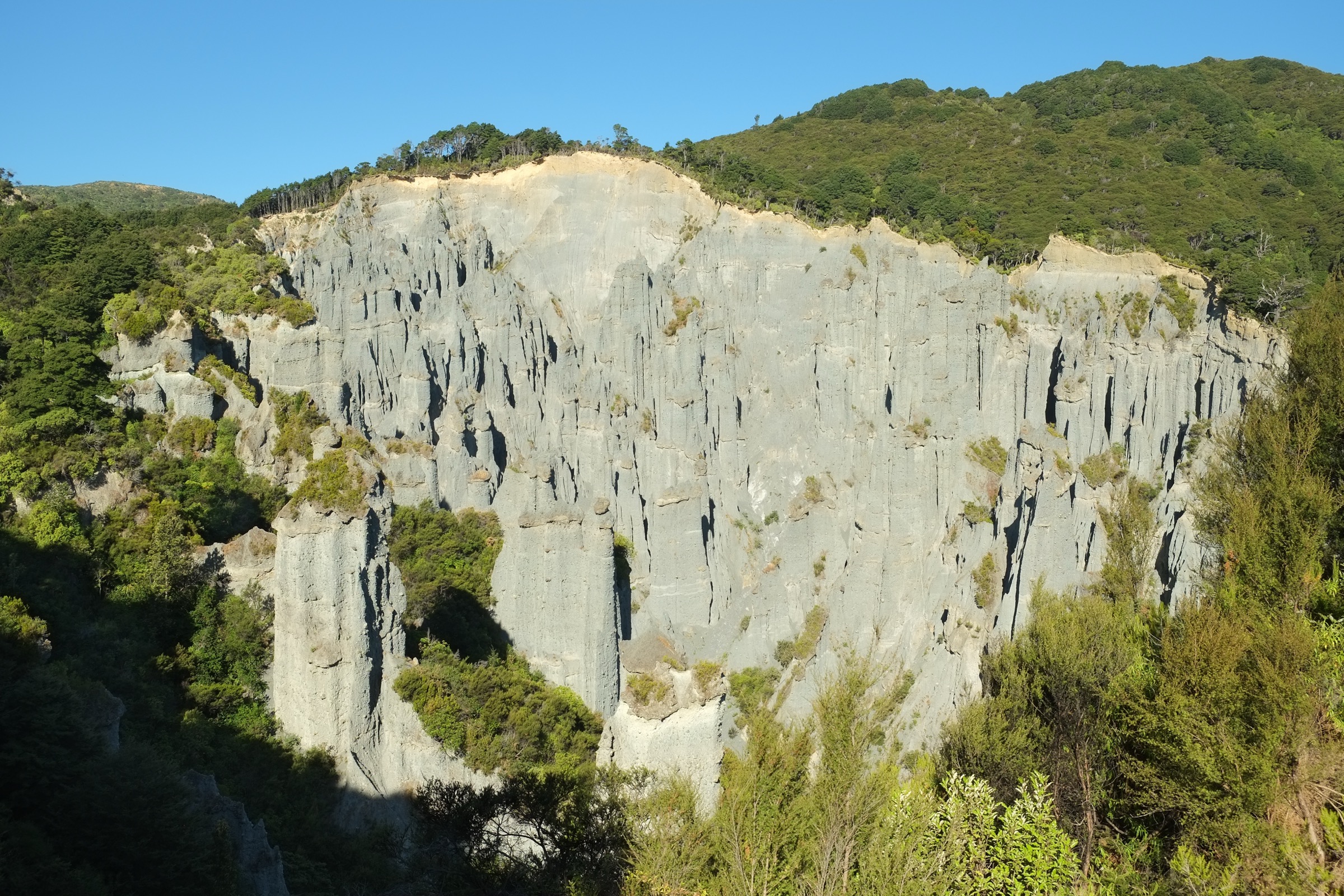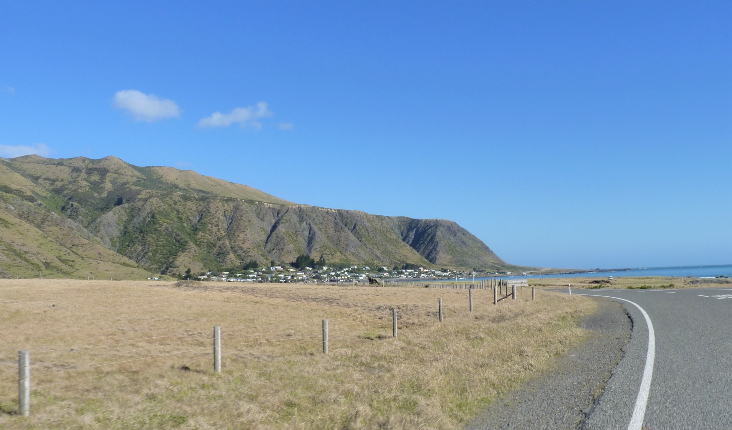
Regional overview
Central Aorangi is best represented by the interior hut-to-hut sections of DOC’s Aorangi Crossing. This is rugged tramping country rather than a dense day-walk network: routes use stream beds, saddles, bush tracks, and remote six-bunk huts. DOC classifies the full Aorangi Crossing as an advanced 30 km, 2–3 day route, so the entries below are clear one-day sections of that longer route, not simple public-road day loops.
Neighbouring walking country sits over the Rimutaka watershed to the north-west — see the Southern Remutakas note for the coastal end of that range — and further north on the main Tararua front, covered in the Southern Tararuas note. The southern coastal side of the Aorangi block, out toward Cape Palliser, sits outside the scope of this entry.
Summary table
| # | Hike | Route type | Distance | Estimated time | Difficulty | Verification |
|---|---|---|---|---|---|---|
| 1 | Washpool Hut to Pararaki Hut | Hut-to-hut day section | 4.7 km | 2 h 30 – 3 h 30 | Advanced tramping | DOC verified |
| 2 | Pararaki Hut to Kawakawa Hut | Hut-to-hut day section | 4.5 km | 2 – 3 h | Advanced tramping | DOC verified |
| 3 | Kawakawa Hut to Mangatoetoe Hut | Hut-to-hut day section | 6.2 km | 2 h 30 – 3 h 30 | Advanced tramping | DOC verified |
Before you go
Access
None of the three sections below is a standalone roadhead loop. Each is a one-day link in the multi-day Aorangi Crossing and depends on private logistics — either continuing through the traverse with a car shuttle at either end, or arranging a shuttle in and out of the interior huts. There is no practical public transport into the range. DOC also notes that Kawakawa Hut cannot be reached directly from Cape Palliser Road via Kawakawa Stream, because the private-land section is closed to the public.
Standard kit
- Full day-tramping kit: boots, waterproof shell, warm layers, food and water for a full backcountry day.
- Map, compass and GPS with the Aorangi Crossing line pre-loaded.
- Head torch with spare batteries.
- Personal Locator Beacon recommended — this is remote country with limited escape options.
- Water treatment.
Common hazards
The three sections all involve stream-bed or creek travel between huts, with steep saddle climbs on the linking ridges. Stream levels can rise quickly after rain and turn otherwise routine sections into hazardous ones. Navigation errors on the intermediate saddles are the other main risk, since exit options between huts are limited.
1. Washpool Hut to Pararaki Hut
Snapshot
Itinerary
From Washpool Hut, the track starts about 100 m upstream on the opposite bank, climbs steadily over a high dividing ridge, and descends into the next valley to Pararaki Hut.
Why it is essential
This is one of the core interior links of the Aorangi Crossing and shows the range’s remote hut, ridge and valley character.
Hazards and notes
- Remote hut-to-hut travel with limited exit options between the two huts.
- Stream access and crossings on either side of the ridge; treat with care after rain.
- Steep ridge travel with the usual scope for navigation errors on the saddle.
GPX / KML links
| Source | URL | Format | Notes |
|---|---|---|---|
| DOC Aorangi Crossing | doc.govt.nz | Official route page | DOC website terms; no GPX published |
| OSM route relation — Aorangi Crossing | openstreetmap.org | OSM relation | ODbL; attribution required |
| OSM API full relation XML | openstreetmap.org | Raw OSM XML | ODbL; attribution required |
Further reading
2. Pararaki Hut to Kawakawa Hut
Snapshot
Itinerary
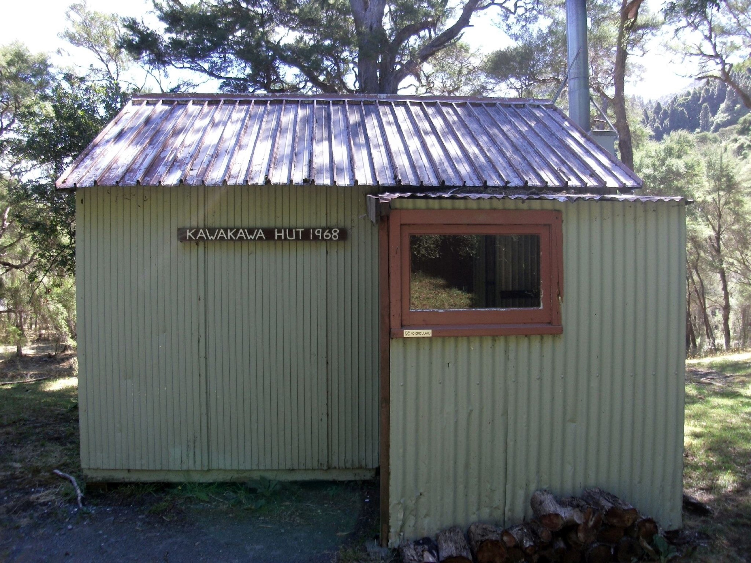
From Pararaki Hut, find the track about 100 m downstream on the opposite bank. It climbs into a low saddle, sidles down the true left of Murphys Creek to the true-right fork of the Kawakawa (Otakaha) Stream, then continues to Kawakawa Hut at the major confluence.
Why it is essential
A representative central Aorangi hut link with saddle, creek and stream-valley travel — the type of terrain that defines the range’s interior.
Hazards and notes
- Remote terrain with stream and creek travel between the huts.
- Navigation on the intermediate saddle and along the true-left sidle.
- Limited escape options once past the saddle.
GPX / KML links
| Source | URL | Format | Notes |
|---|---|---|---|
| DOC Aorangi Crossing | doc.govt.nz | Official route page | DOC website terms; no GPX published |
| OSM route relation — Aorangi Crossing | openstreetmap.org | OSM relation | ODbL; attribution required |
| OSM API full relation XML | openstreetmap.org | Raw OSM XML | ODbL; attribution required |
Further reading
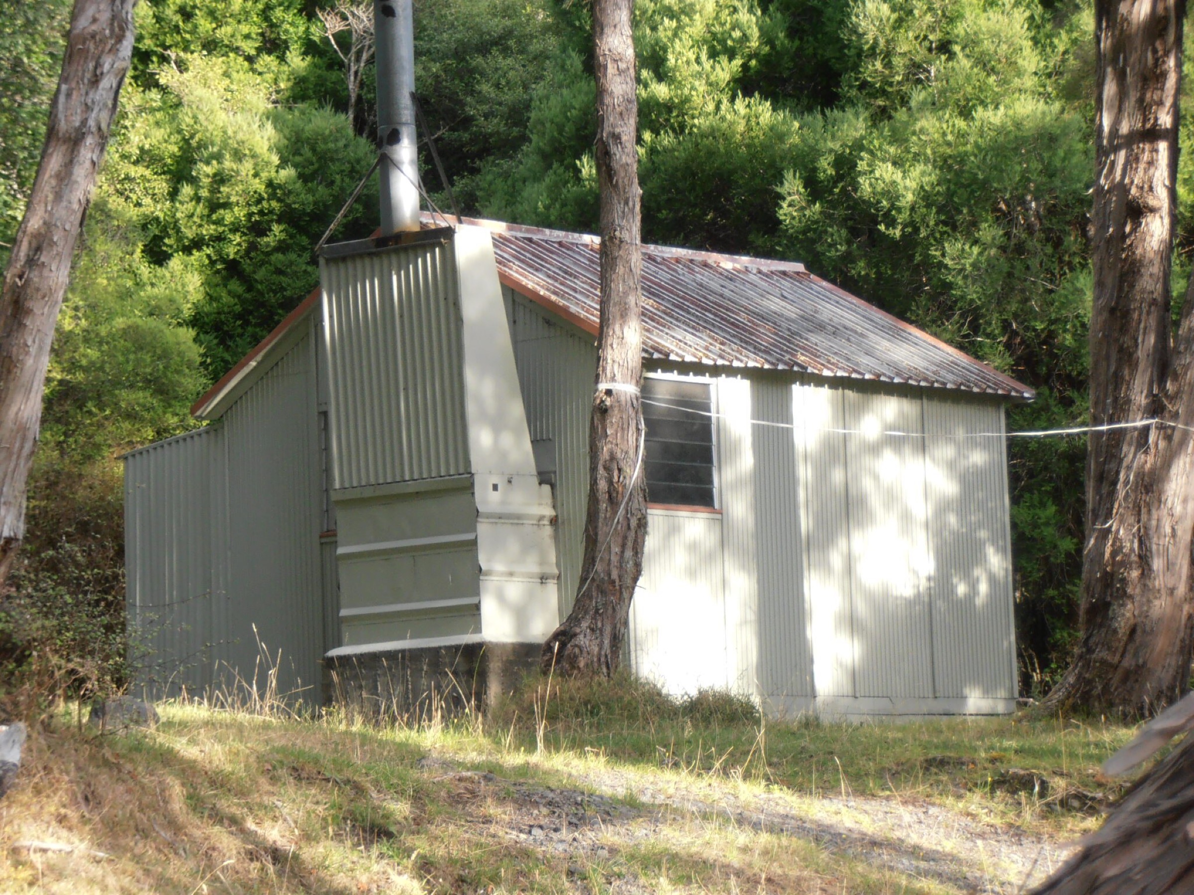
3. Kawakawa Hut to Mangatoetoe Hut
Snapshot
Itinerary
From Kawakawa Hut, the track starts in front of the hut and follows up the true-left fork of the Kawakawa Stream. After about an hour in the stream bed, it climbs steeply through a saddle, descends into the true-right fork of the Mangatoetoe Stream, and follows the stream down to Mangatoetoe Hut.
Why it is essential
This is the key central-to-southern Aorangi transition section, showing the stream-bed and saddle character that defines this half of the range.
Hazards and notes
- Stream-bed travel for the first hour, unsafe in high flows.
- A steep climb to the intermediate saddle.
- Remote hut-to-hut terrain with limited escape options.
- Do not attempt to reach Kawakawa Hut from Cape Palliser Road via Kawakawa Stream — DOC records that section as closed private land.
GPX / KML links
| Source | URL | Format | Notes |
|---|---|---|---|
| DOC Aorangi Crossing | doc.govt.nz | Official route page | DOC website terms; no GPX published |
| DOC Kawakawa Hut — access warning | doc.govt.nz | Official hut page | DOC website terms |
| OSM route relation — Aorangi Crossing | openstreetmap.org | OSM relation | ODbL; attribution required |
| OSM API full relation XML | openstreetmap.org | Raw OSM XML | ODbL; attribution required |
Further reading
Routes deliberately not promoted
| Route | Reason |
|---|---|
| Full Aorangi Crossing | DOC verifies it as 30 km one way, 2–3 days, advanced — outside day-hike scope. |
| Kawakawa Hut direct from Cape Palliser Road via Kawakawa Stream | DOC explicitly records the private-land section as closed to the public. |
Verification notes
- All three route sections, their distances and estimated times are verified against the DOC Aorangi Crossing page.
- Elevation gain, loss and maximum elevation are not stated by DOC for any of the three sections and are recorded as unresolved rather than filled from secondary sources.
- The Kawakawa Hut access warning is verified against the DOC Kawakawa Hut page.
- No licence-compatible route-specific image was located in this pass; DOC hut imagery found was not licence-compatible for commercial or modification reuse. Follow-up work should look for Wikimedia Commons or Flickr Creative Commons imagery of Aorangi Forest Park once verification is complete.
Further reading
| Source | URL |
|---|---|
| DOC Aorangi Forest Park | doc.govt.nz |
| DOC Aorangi Crossing | doc.govt.nz |
| DOC Kawakawa Hut | doc.govt.nz |
| OSM — Aorangi Crossing relation | openstreetmap.org |
| Storm — Southern Remutakas | storm.ski article |
| Storm — Southern Tararuas | storm.ski article |