Regional overview
The Ahimanawa Range is the interior hill spine between Napier and Taupō, running roughly parallel to the higher Kaimanawa and Kaweka tops further west. Strictly within the northern Ahimanawa itself, marked walking infrastructure is very sparse: the Department of Conservation lists no dedicated tracks under the Ahimanawa name, and the range is largely production-forest and pastoral country cut by the Mohaka and Waipunga catchments. The central Ahimanawa and southern Ahimanawa catalogue entries reach similar conclusions further down the range. The practical day-hiking on this side of Hawke’s Bay sits on the parallel Maungaharuru Range to the east — most of it inside Boundary Stream Mainland Island — and on the lake-and-trig walkways around Lake Tūtira. The catalogue entry for northern Ahimanawa is therefore built around that eastern hill front, which is what walkers actually use to reach forest, ridge and lake country on this edge of the region.
Boundary Stream Mainland Island is an 800-hectare mainland island reserve on the Maungaharuru Range in northern Hawke’s Bay, roughly one hour north of Napier via State Highway 2, Tūtira, Matahorua Road and Pohokura Road. Access is unsealed but graded, with car parks and toilets at the Pohokura Road entrance and Heays Access Road entrance. The reserve runs from about 300 m to 950 m elevation, from lowland broadleaf and podocarp forest at the base to montane mountain-holly and beech near the tops. Intensive pest control since 1996 has restored kererū, tūī, korimako/bellbird, pōpokotea/whitehead, tītitipounamu/rifleman, kārearea/NZ falcon and reintroduced pītoitoi/North Island robin and kōkako, and the range is one of the few sites where the large land snail Powelliphanta traversii “Maungaharuru” is still found. Maungaharuru — “the mountain that rumbled and roared” — is a sacred maunga of Ngāti Kurumōkihi, and four reserves on the range, including Boundary Stream Mainland Island, were returned to Ngāti Kurumōkihi and the wider hapū through the Maungaharuru-Tangitū Trust as part of a Treaty settlement in 2017.
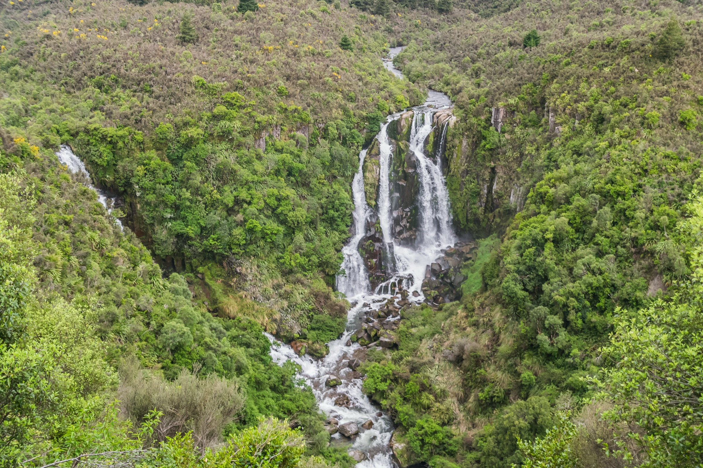
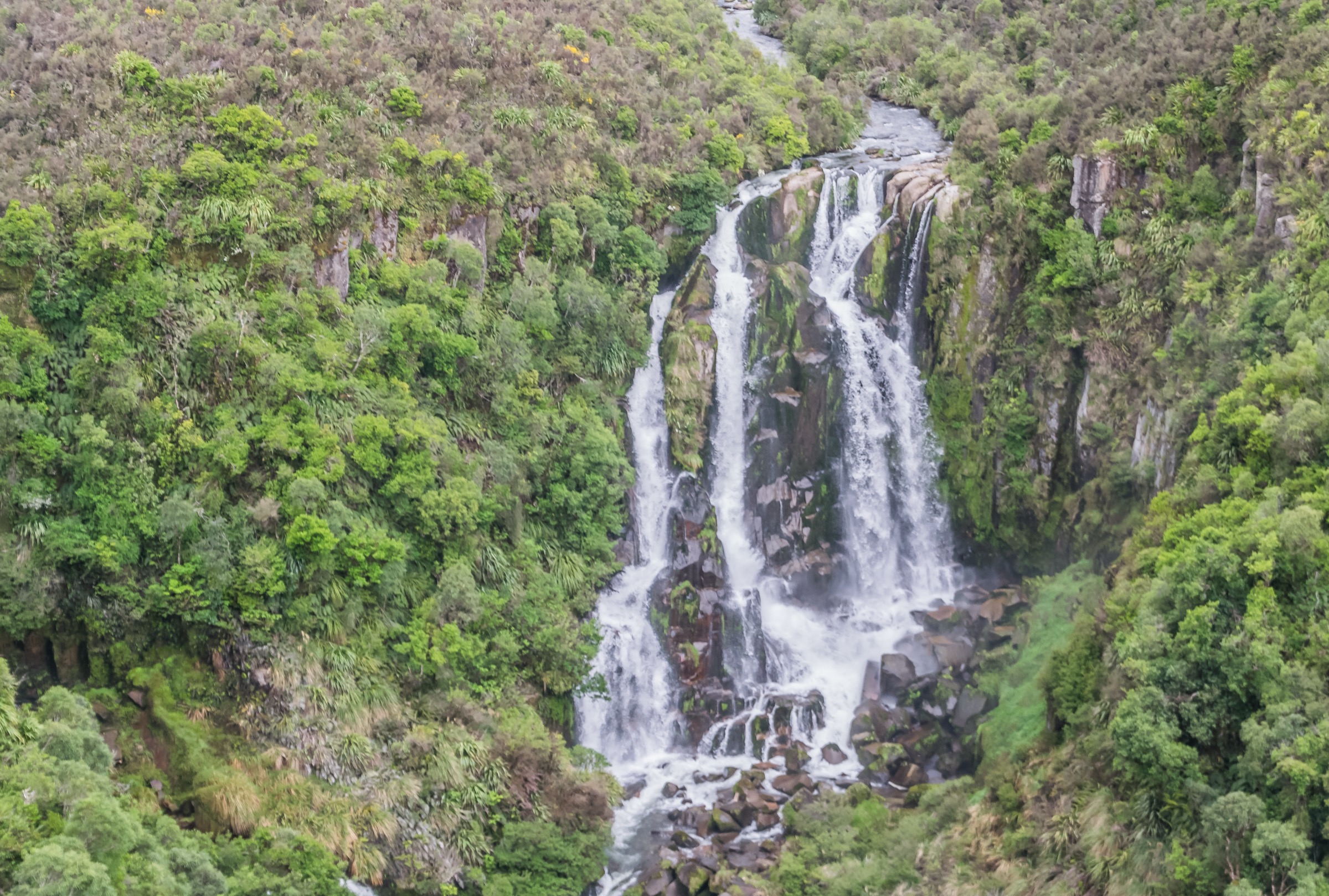
Access constraints matter as much as route length here. Shine Falls Track, the 4.4 km walk to Hawke’s Bay’s tallest waterfall from Heays Access Road, has been closed since Cyclone Gabrielle in February 2023: bridges and the track itself were destroyed, and while DOC has signalled reopening work, the falls themselves are expected to stay closed longer for safety reasons. The traverse from the Kāmahi and Tūmanako loops through the Middle Track to Shine Falls is affected by the same closure. Two of the reserve’s tracks — Bell Rock Loop and the Shine Falls walk — cross private property under stile arrangements; keep to marked tracks. Dogs are not permitted anywhere inside the reserve. There is no public transport to any trailhead described below, and Pohokura Road and Heays Access Road are prone to slips and washouts after heavy rain — check DOC alerts and MetService before driving in.
Selection rationale
Five day-scale routes are presented across the Boundary Stream front and Lake Tūtira. The Bell Rock Loop Track is the signature ridge and panorama route on this side of the region. The Kāmahi Loop Track is the reserve’s flagship mature-forest walk and passes the “ghost forest” of dead kāmahi in the recovering canopy. The Bellbird Bush Track adds a shorter red and black beech option with a Maungaharuru viewpoint detour. The Thomas Bush and Opouahi Walkway loop is the reserve’s longest fully-open circuit, combining farmland, Thomas Bush and the Lake Opouahi shoreline in a single 4-hour day. The Tūtira Walkway long loop is included as the broadest panorama on the eastern edge — a 494 m trig climb with views over the Maungaharuru and inland Kaweka ranges and out to Cape Kidnappers and the Mahia Peninsula. Multi-day traverses onto the true Ahimanawa tops, the currently-closed Shine Falls Track and the closed Tūtira/Pera’s Loop lie outside this day-hike entry.
Summary
| # | Hike | Trailhead | Route type | Distance | Time | Grade |
|---|---|---|---|---|---|---|
| 1 | Bell Rock Loop Track | Pohokura Road entrance, Boundary Stream | Loop | 5.3 km | 3 h | Tramping |
| 2 | Kāmahi Loop Track | Pohokura Road car park, Boundary Stream | Loop | 4.5 km | 2 h | Walking |
| 3 | Bellbird Bush Track | Corner of Pohokura and Toi Flat Roads | Out-and-back or road-return loop | 3.8 km return | 2 h return | Walking |
| 4 | Thomas Bush + Opouahi Walkway | Opouahi Walkway car park, Pohokura Road | Loop | 5.4 km | 4 h | Tramping |
| 5 | Tūtira Walkway — long loop via Table Mountain | Lake Tūtira campsite, SH2 | Loop | 9 km | 5 h | Easy walking |
1. Bell Rock Loop Track
Snapshot
Itinerary
From the Pohokura Road entrance, the loop climbs through a forest of gnarled broadleaf, horopito, fuchsia and mataī, then breaks out onto the Maungaharuru range crest through a dense stand of mountain holly. From the crest, Bell Rock itself is about 40 minutes further along the left branch — an exposed rock spur used as the standard turnaround for the panorama over the Mohaka valley, Te Kooti’s Lookout and Whirinaki Te Puaa-Tāne Conservation Park in the west. The right branch of the loop returns to Pohokura Road on a 4WD track, giving similar panoramic views on the descent.
Why it is essential
Bell Rock is the signature ridge-and-view route on the Boundary Stream front, and the only track on this side of the range that combines the mature bush of the reserve with an open crest panorama over the Mohaka catchment and the Whirinaki forest interior. It is the standard first-choice day walk for anyone approaching the northern Ahimanawa / Maungaharuru area from Napier.
Equipment
- Sturdy walking or tramping boots
- Rain shell and warm mid-layer — the crest is exposed
- Hat and gloves outside high summer
- 1.5–2 L water
- Food for a half-day
- Map / GPS with the route pre-loaded
Hazards and notes
- Dangerous drop-offs at Bell Rock — DOC signage calls for extreme care and close supervision of children
- Track crosses private property under a stile arrangement — keep strictly to the marked track
- No dogs anywhere inside the reserve
- Exposed crest — weather on the range can change quickly and visibility can drop within an hour of a cold front
- Pohokura Road is unsealed and can be slippery or slip-affected after heavy rain
2. Kāmahi Loop Track
Snapshot
Itinerary
The Kāmahi Loop leaves the Pohokura Road car park and enters mature podocarp forest, with an ancient mataī near the loop junction. Along the bluff-top sections the track passes through the reserve’s “ghost forest” — a monoculture of dead kāmahi that sprang up as a first-succession species after fires cleared the area around a century ago and is now being overtaken as podocarp and broadleaf regain the canopy. Kererū, tūī and korimako aerial displays are common along the bluffs. The loop returns to the car park on the same access.
Why it is essential
Kāmahi Loop is the flagship mature-forest walk of Boundary Stream Mainland Island and the clearest place on the range to read the reserve’s forest-recovery story — the dead kāmahi canopy, the podocarp regeneration below, and the reintroduced bird populations feeding through it — in a two-hour circuit that does not require ridge navigation.
Equipment
- Sturdy walking shoes
- Rain shell
- 1 L water
- Snacks
- Basic navigation — the Kāmahi, Tūmanako and Middle track junctions can be confusing without a map
Hazards and notes
- No dogs anywhere in the reserve
- Do not touch traps or poison stations — actively supervise children around bait lines
- Middle Track continuation to Shine Falls is currently closed post-Cyclone Gabrielle; treat the Kāmahi loop itself as the objective, not a through-route
- Access on Pohokura Road — check DOC alerts before driving in
3. Bellbird Bush Track
Snapshot
Itinerary
The Bellbird Bush Track leaves the corner of Pohokura and Toi Flat Roads and climbs gently through forest dominated by red and black beech. About halfway along, a short signed detour reaches an open viewpoint over the Maungaharuru Range — a rare unbroken range panorama accessible in a short outing. The track continues to exit higher up on Pohokura Road, so parties can return either on the same track or walk back down Pohokura Road to close a road loop.
Why it is essential
Bellbird Bush is the shortest verified DOC-marked track on the range that gives a proper Maungaharuru range viewpoint. It is included as the accessible short option that balances the longer Bell Rock, Kāmahi and Thomas Bush routes.
Equipment
- Sturdy walking shoes
- Rain shell
- 1 L water
- Snacks
- Basic navigation
Hazards and notes
- No dogs in the reserve
- Short but exposed viewpoint — dress for wind at the detour
- Road-return loop shares the road with vehicles — walk facing traffic
4. Thomas Bush Track and Opouahi Walkway loop
Snapshot
Itinerary
The route leaves the Opouahi Walkway car park on Pohokura Road, drops to the shore of Lake Opouahi inside the predator-proof fence of the Pan Pac Kiwi Créche, and follows the 1.4 km walkway around toward the far end of the lake. A signed junction turns off uphill onto the Thomas Bush Track, crossing farmland into the Thomas Bush Scenic Reserve, climbing to a high point and looping around before dropping back down through the farmland to rejoin the junction. From the junction, the route returns via the remainder of the Opouahi Walkway to the car park. Total is 5.4 km including the walkway sections.
Why it is essential
This is the longest fully-open circuit on the Boundary Stream side of the range and the only route on this catalogue entry that combines a lake objective, native bush and farmland ridgeline in one day. The Pan Pac Kiwi Créche behind the predator-proof fence is where wild-hatched kiwi chicks are grown to a survivable weight before release; the walkway around the lake is one of the few places where the scale of the pest-management effort on the range is directly visible.
Equipment
- Tramping boots — muddy farmland sections
- Rain shell and warm mid-layer
- 2 L water
- Food for a long day out
- Map / GPS
- Headlamp with spare batteries — 4 h day plus contingency
Hazards and notes
- Predator-proof fence — keep to tracks; the créche is an active conservation site
- Farmland stiles — do not disturb stock, close gates behind
- No dogs in the reserve
- Slippery underfoot after rain, especially on the Thomas Bush descent
- One-way loop only — the brochure notes the loop returns to the start via the walkway; do not attempt to shortcut across farmland
5. Tūtira Walkway — long loop via Table Mountain trig
Snapshot
Itinerary
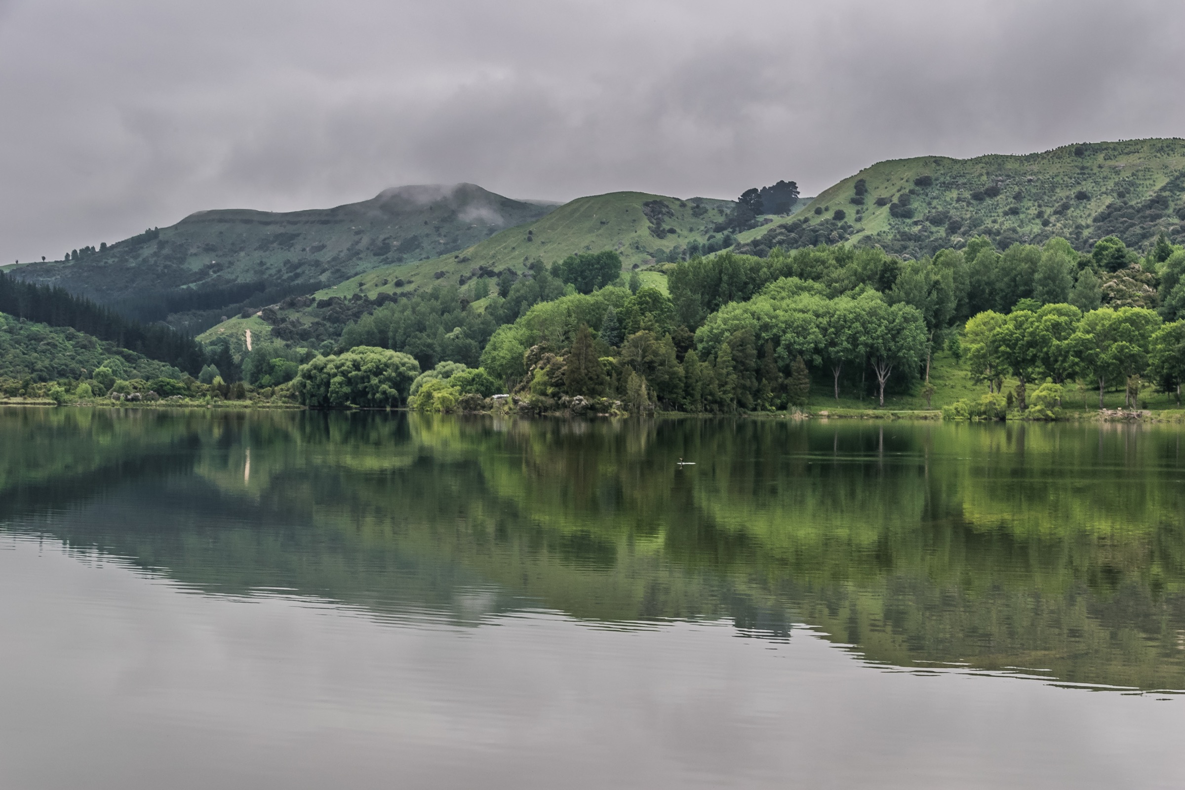
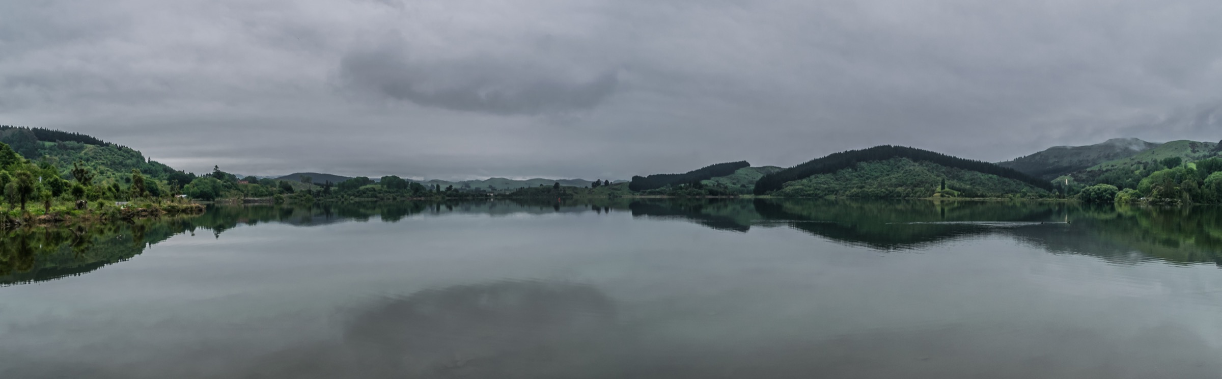
The Tūtira Walkway leaves the Lake Tūtira campsite and has two variants. The short loop climbs directly up the Kahikanui Track to the Table Mountain trig and returns in about 2 hours. The long loop — the version described here — follows Galbraith’s Track along the lake shore before climbing to the same trig at 494 m, then descends past a shelter near Ridgemount Road and traverses exotic forest into a gully before returning to the lake. From the trig, the panorama takes in the Maungaharuru Range and the inland Kaweka Range to the west, and out over the coast from Mahia Peninsula in the north to Cape Kidnappers in the south.
Why it is essential
This is the widest single panorama on the eastern edge of the northern Ahimanawa / Maungaharuru area, and the only easy-graded day loop in the catalogue entry that reaches an open trig with unobstructed views of both the interior ranges and the coast. It complements the Boundary Stream tracks by adding a lakeshore-and-trig day that does not depend on the unsealed Pohokura Road corridor.
Equipment
- Walking shoes or light boots
- Rain shell
- Warm mid-layer for the trig
- 1.5–2 L water
- Food for a half-to-full day
- Map / GPS — junctions with the short loop and side tracks
Hazards and notes
- Farmland grazing land — do not disturb stock, close gates behind
- Exposed trig — weather can change quickly on the summit
- Track sections through exotic forest can be greasy after rain
- Nearby Tūtira / Pera’s Loop Track remains closed after storm damage — do not confuse the two routes when planning
- Regional park managed by Hawke’s Bay Regional Council, not DOC — check the council’s current park page for any local closures
Further reading
| Resource | Link |
|---|---|
| DOC — Boundary Stream area | doc.govt.nz |
| DOC — Bell Rock Loop Track | doc.govt.nz |
| DOC — Heays Access Road to Shine Falls Track (currently closed) | doc.govt.nz |
| DOC — Boundary Stream Mainland Island brochure (PDF) | doc.govt.nz |
| DOC — Tūtira area | doc.govt.nz |
| DOC — Tūtira Walkway | doc.govt.nz |
| Poutiri Ao ō Tāne — Boundary Stream restoration | poutiri.co.nz |
| Maungaharuru-Tangitū Trust | tangoio.maori.nz |
| Wilderness Magazine — Tūtira Walkway | wildernessmag.co.nz |
| Wilderness Magazine — Bell Rock Track | wildernessmag.co.nz |
| NZ Herald — Hawke’s Bay tracks still closed after Cyclone Gabrielle | nzherald.co.nz |
| MetService — Hawke’s Bay regional forecast | metservice.com |
| Wikipedia — Ahimanawa Range | en.wikipedia.org |
| Wikipedia — Maungaharuru Range | en.wikipedia.org |
| Wikimedia Commons — Lake Tūtira category | commons.wikimedia.org |