About this entry
This is a regional and cultural orientation rather than a day-hike guide. Jiuyi Mountain has a strong cultural and mountain identity, but at the time of writing we could not verify public day-hike statistics, GPX/KML files, or licence-compatible route photos. The route themes listed below are recorded as research leads, not recommended itineraries. When better data becomes available, this entry will be reworked into a full essential day-hikes article to match the rest of the Nanling series.
Regional overview
The Jiuyi Mountains — written 九嶷山 or 九疑山, romanised Jiuyi Shan and sometimes Nine Doubts Mountain — lie in Ningyuan and Lanshan counties of Yongzhou Prefecture, southern Hunan. They form part of the Mengzhu Ridge (萌渚嶺) branch of the Nanling system that runs along the Hunan / Guangxi / Guangdong margin. Published summaries describe a complex mountain block with more than ninety peaks above 1,000 m, mixed shale, granite and metamorphic rock, and Bijiwo (畢祭窩) as the main summit at around 1,959 m.
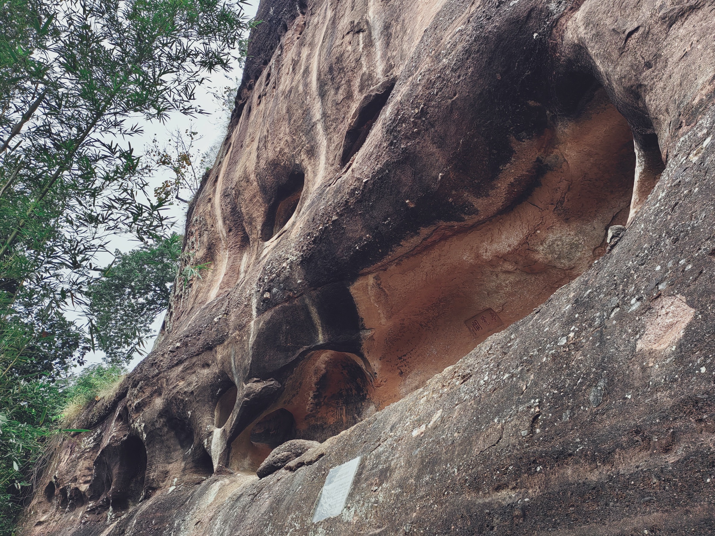
The walking landscape appears to be subtropical forested mountain country: temple and mausoleum approaches at lower elevation, scenic caves and stream valleys mid-slope, and longer forested ridges and summit lines above. Public route geometry is weak. Chinese-language sources describe the massif’s cultural and geological character in detail, but current visitor-scale route maps, distances and safety information were not consolidated in this pass.
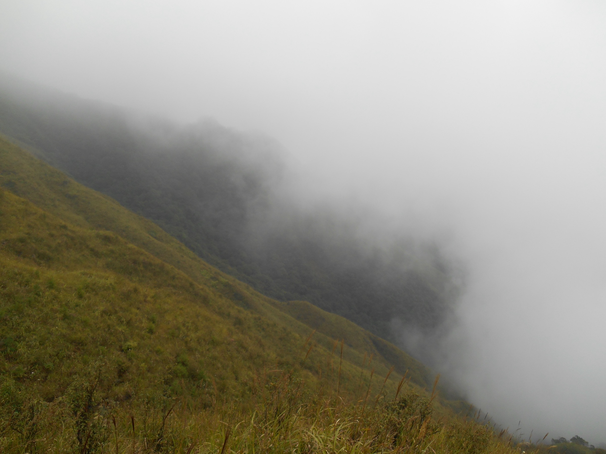
The strongest seasons are spring and autumn. Summer is hot, humid and prone to convective storms; winter can bring cold rain, fog and ice on the higher ridges. Storm forecasts, current scenic-area access status and river levels should be re-checked on the day of travel.
Cultural landscape
Jiuyi’s public identity is bound to the legend and worship of Emperor Shun (舜帝), one of the Five Emperors of the traditional Chinese chronology. The Shundi Mausoleum (舜帝陵) sits within the Jiuyi Mountains and is a nationally protected cultural site. Its precinct, temple remains and the associated Shunyuan Peak (舜源峰) foot area together anchor the mountain’s cultural walking landscape.
The mausoleum’s historical geography also includes older Shun-temple sites in the Taiyangdong / Taiyangxi (太陽洞 / 太陽溪) area, referenced in Ming and Qing accounts of the Shun cult. For visitors, this means cultural circuits and heritage walks are as central to the Jiuyi experience as any mountain summit — arguably more so, given the current state of published mountain route data.
Setting: Ningyuan, Yongzhou and the Nanling context
Ningyuan County (寧遠縣) is the primary base for Jiuyi Mountain, with the county town providing accommodation, transport and cultural-site access. Ningyuan sits within Yongzhou Prefecture (永州市), a historic Xiang-River-basin prefecture that also contains Liuzi Temple (柳子廟) in the city proper, associated with the Tang poet Liu Zongyuan (柳宗元).
The wider Nanling system on the Hunan side already carries two entries elsewhere in this catalogue — the Mangshan National Forest Park / Nature Reserve block on the Chenzhou border, and the northern Guangdong uplands across the ridge. Jiuyi sits west of Mangshan along the same Nanling axis, on the Mengzhu Ridge branch that connects into Guangxi.
Hiking landscape and current data gaps
Five walking themes appear repeatedly in Chinese-language sources for Jiuyi Mountain. We list them as research leads only; distances, elevation gains and times were not verified, and none of them should be treated as recommended day hikes without further local sourcing.
- Shundi Mausoleum and Shunyuan Peak cultural walk. A cultural circuit around the mausoleum precinct and the foot of Shunyuan Peak. The most heritage-rich walking landscape on the mountain, and the most likely to have safe, waymarked visitor infrastructure — but the exact circuit, distance and ascent were not verified.
- Zixia Cave scenic path (紫霞洞). A shorter scenic-area walk in the Jiuyi visitor landscape. Length, opening hours, ticketing and current route condition all require local confirmation.
- Sanfenshi (三分石) high-ridge route. A higher Jiuyi mountain / ridge line associated with Sanfenshi. Distance, exposure, legal access and whether it is a day-hike-appropriate line all remain unresolved; local mountain sources are needed before publication.
- Bijiwo (畢祭窩) main-peak approach. The reported main summit of the massif at around 1,959 m. Trailhead, ascent line, distance, protected-area boundaries and rescue options were not confirmed. Do not treat it as a recommended objective on the strength of this article alone.
- Jiuyi River / Taiyangdong old Shun temple walk. A valley cultural walk in the Taiyangdong / Taiyangxi area tied to the older Shun-cult geography. Current trail status, distance and permitted routing all require local sources.
What is missing
- No official Jiuyi Mountain hiking map, GPX/KML or verified route statistics were located.
- The five theme names above should be checked against current scenic-area maps and local guidebook or trail-app content.
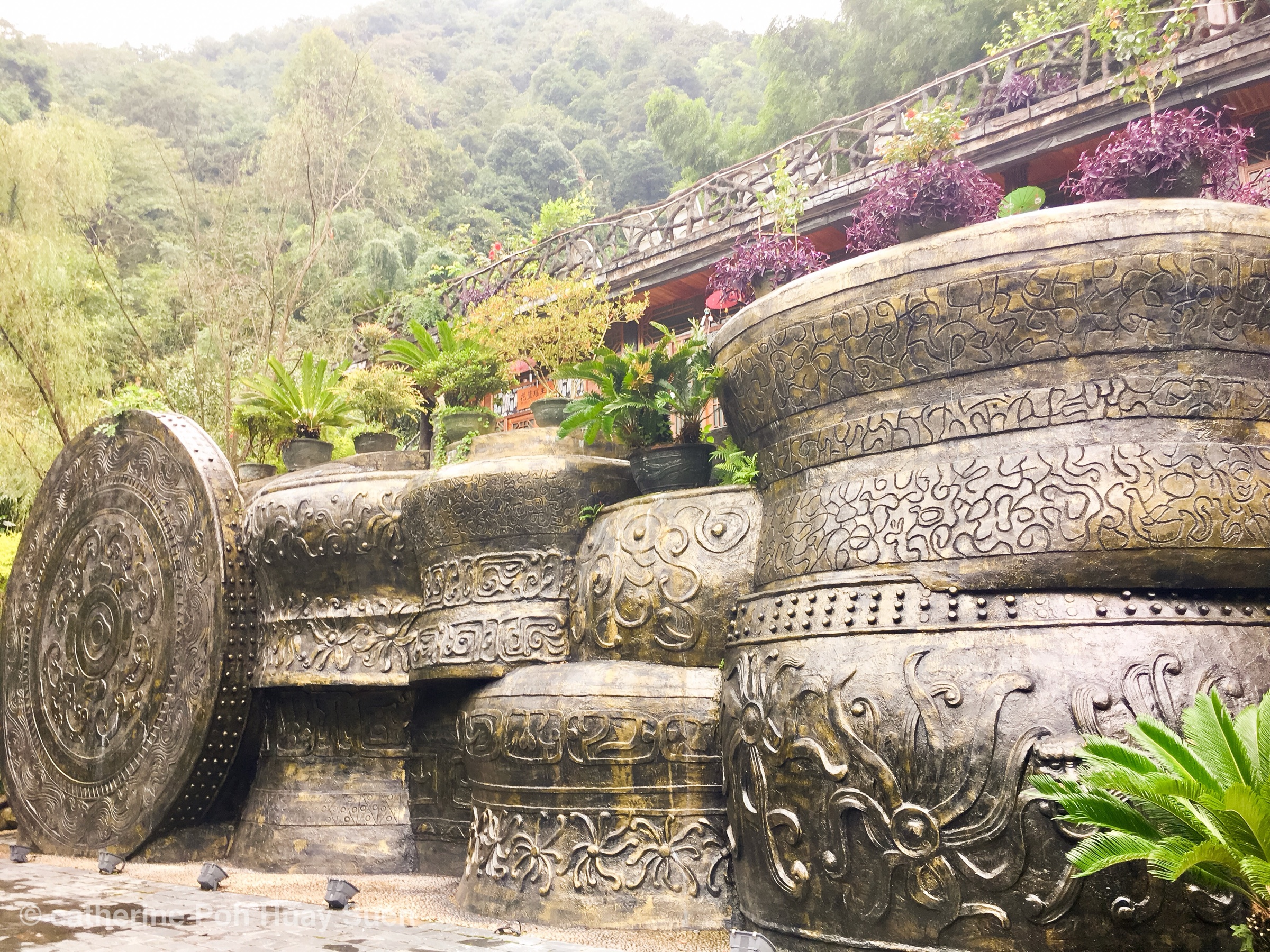
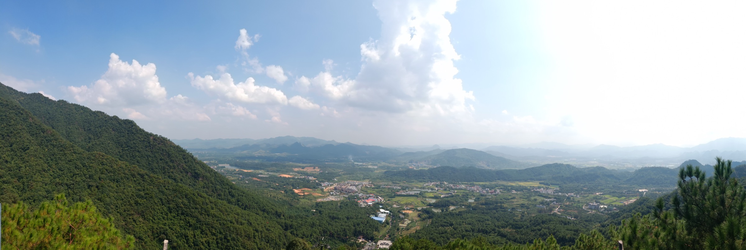
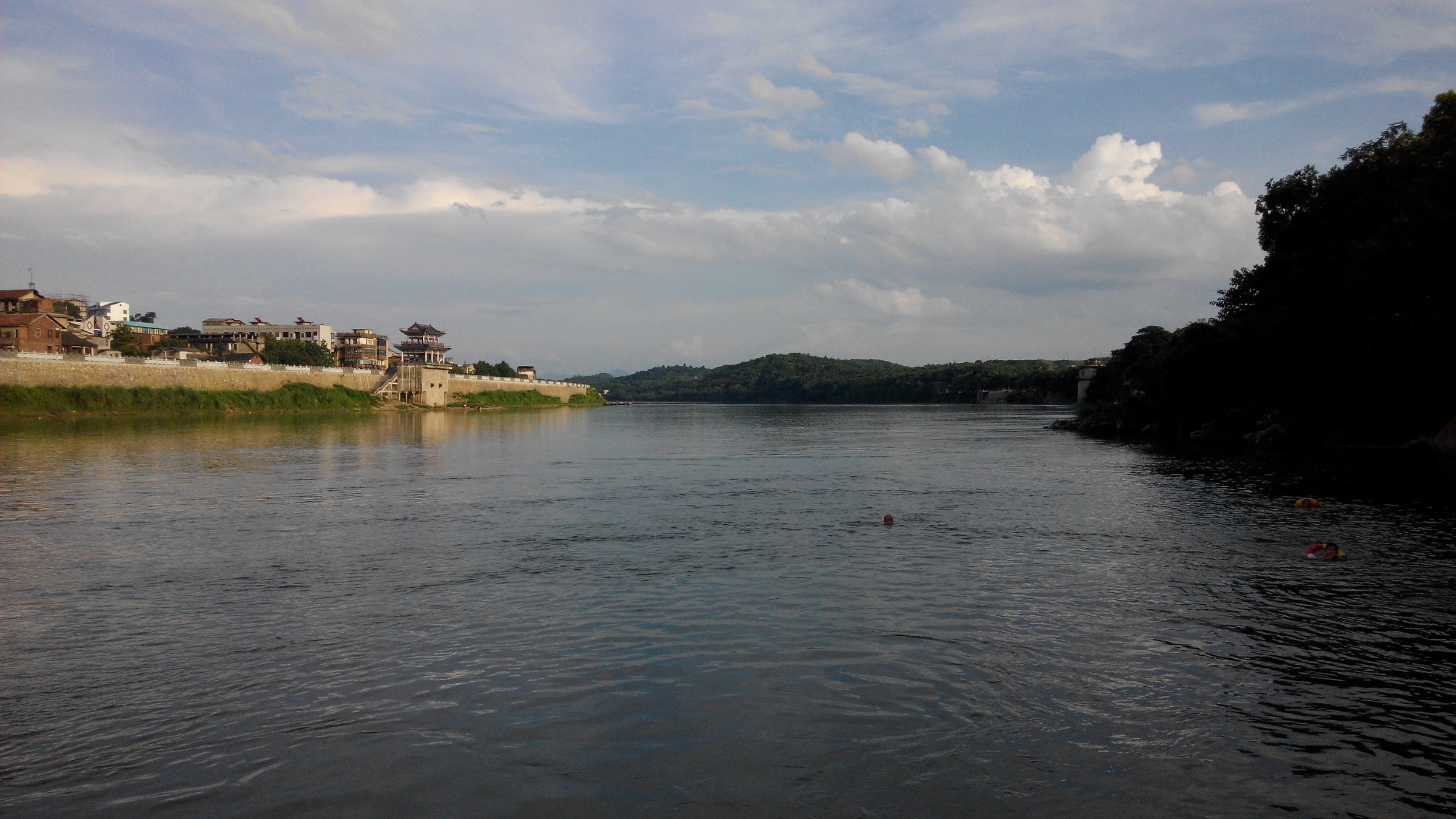
- No licence-compatible Jiuyi hike photos were found in this pass; the cover of this entry shows the wider Yongzhou / Xiaoshui landscape as regional context, not the mountain itself.
- Current access, ticketing, opening hours, public-transport connections, dog rules and protected-area restrictions all need confirmation.
- The high-mountain candidates — especially Sanfenshi and Bijiwo — need safety vetting before any route-scale write-up.
Companion guides
- Nanling Mountains — Mangshan, southern Hunan: essential day-hikes — the Hunan-side Mangshan National Forest Park block, on the Chenzhou border.
- Nanling Mountains — northern Guangdong uplands: essential day-hikes — the Guangdong side of the same ridge system.
- Nanling — Danxia Shan, Guangdong: essential day-hikes — the Danxia landform block further east along the range.
Sources
| Source | URL |
|---|---|
| Wikipedia (zh) — Jiuyi Mountain (九嶷山) | zh.wikipedia.org |
| Wikipedia (zh) — Shundi Mausoleum, Jiuyi Mountain (九嶷山舜帝陵) | zh.wikipedia.org |
| Wikimedia Commons — Mausoleum of Emperor Shun (category) | commons.wikimedia.org |
| Ningyuan County government overview | nyx.gov.cn |