Regional overview
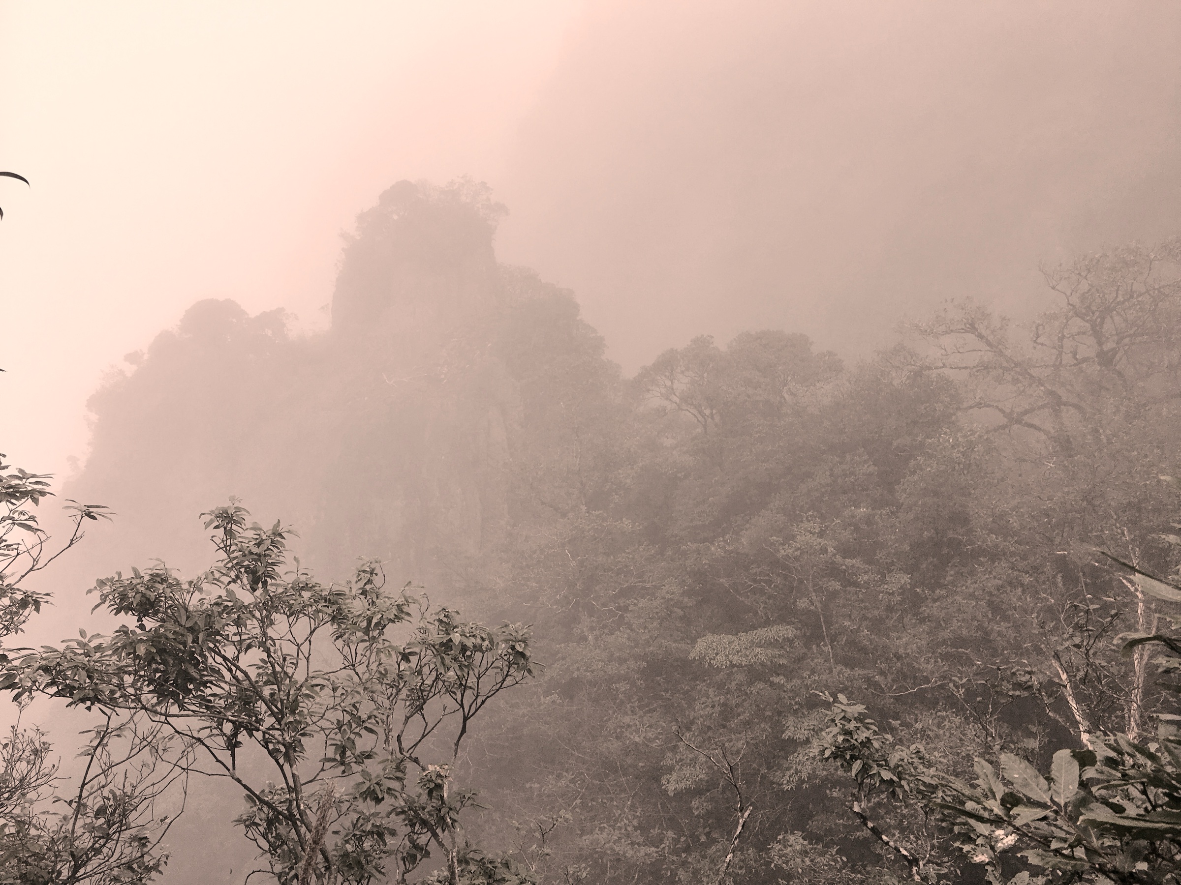
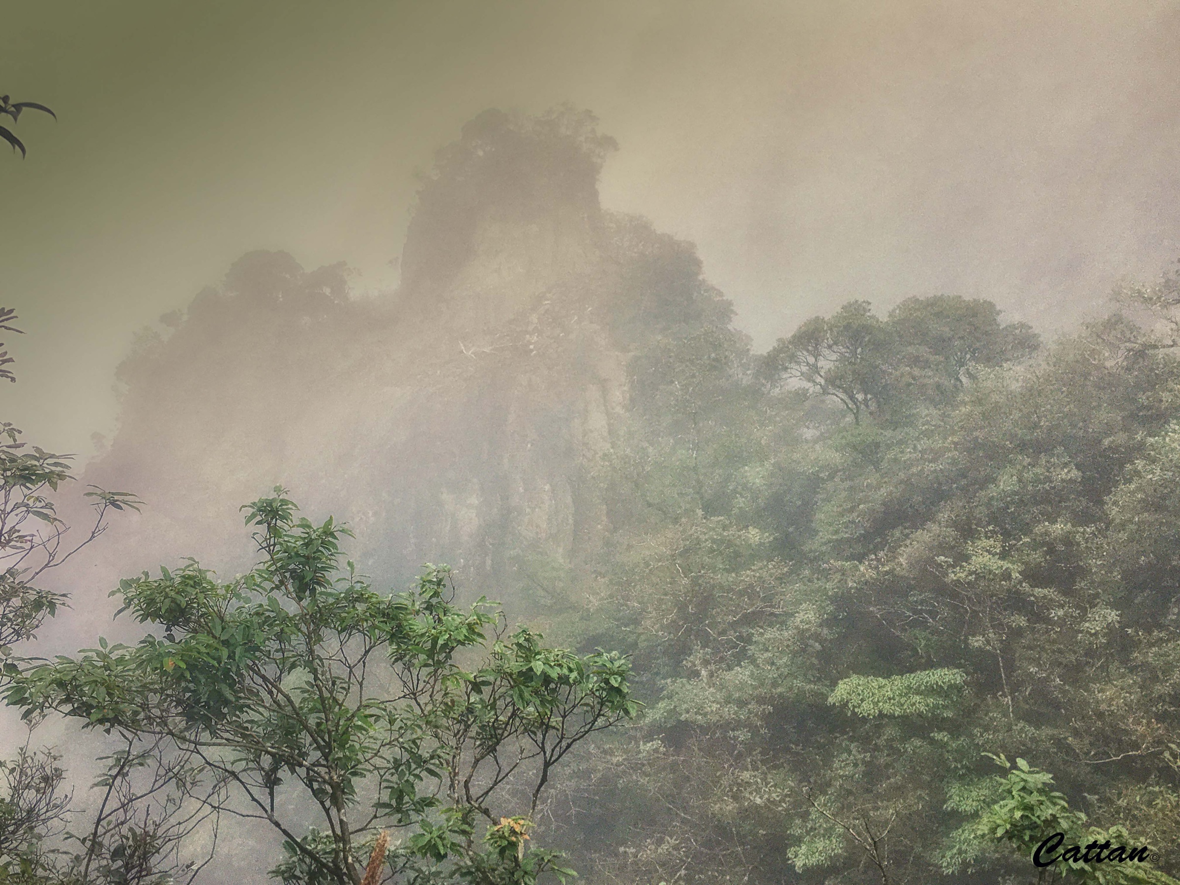
Mangshan (莽山) sits on the Hunan side of the Nanling Mountains, in Yizhang County, Chenzhou, on the Hunan–Guangdong boundary. It is recognised both as a national forest park and a national nature reserve, and forms one of the most important subtropical forest blocks in central southern China. The walking landscape combines high ridges, cloud-sea viewpoints, cliff plank roads, canyon waterfalls, and the boundary summit area around Mengkengshi / Shikengkong, which at 1,902 m is also Guangdong’s highest point.
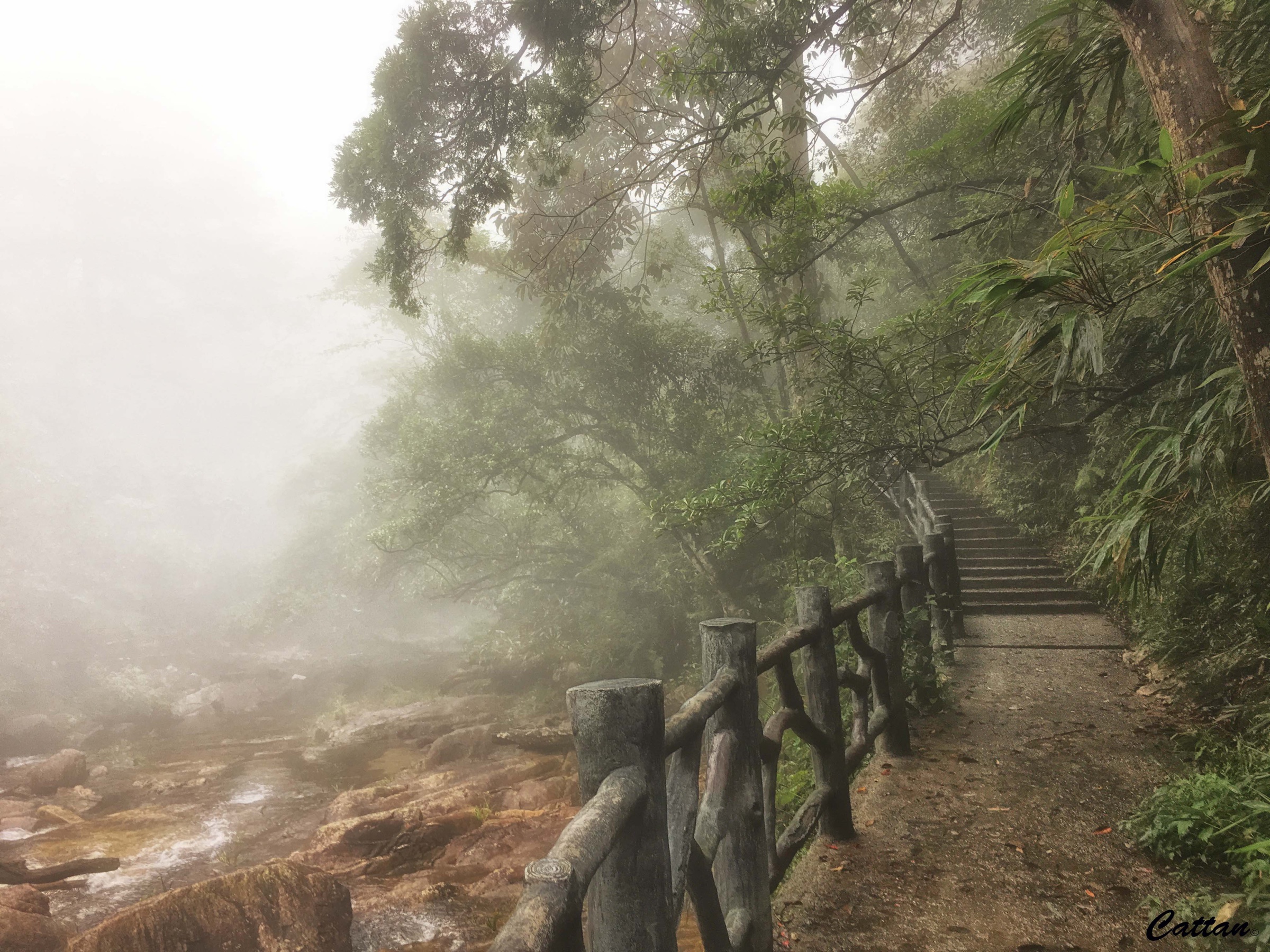
The walking character is mostly managed scenic-area hiking. Shuttles, cableways, and vertical sightseeing elevators set the pace; stone stairs, elevated plank roads, waterfall canyon paths, and forest routes carry the remainder. Public route geometry is weak. Official and tourism sources identify the main scenic zones — Wuzhifeng, Tiantai, Jiangjunzhai / Guizizhai, and Monkey King Village — but no licence-compatible GPX or KML files were found for any of the routes in this pass, and most distances are reported as approximate or unresolved.
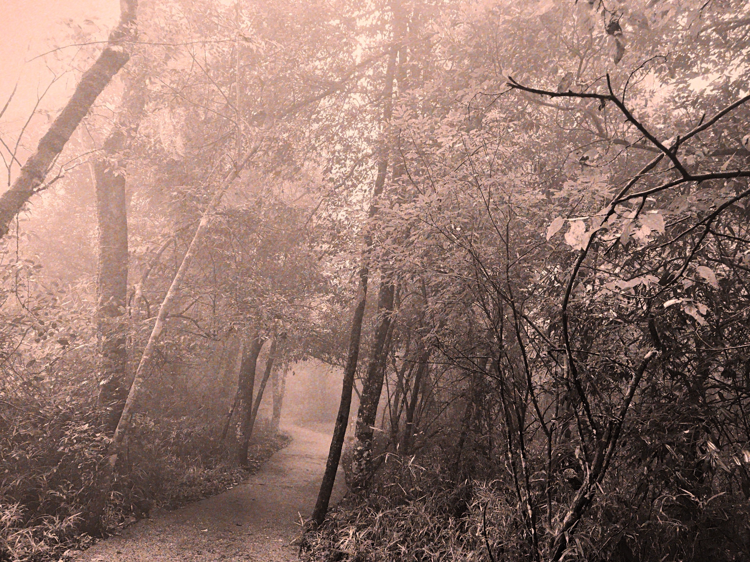
The strongest seasons are March–May and September–November. Summer is hot, humid, and storm-prone; winter can bring cold rain, fog, and ice on upper steps and boardwalks. Cloud-sea conditions are often best after rain, but thunderstorms, cableway stoppages, and temporary route closures must be checked on the day.
Selection rationale
The five hikes represent Mangshan’s core walking characters: the accessible Wuzhifeng high-plank-road circuit, Tiantai’s cloud-and-rock summit scenery, Jiangjunzhai’s subtropical forest gorge, the Monkey King Village canyon waterfalls, and the harder boundary summit objective at Shikengkong. The set is deliberately conservative because licence-compatible route files and audited scenic-area trail lengths were not found.
Summary table
| # | Hike | Country | Route type | Distance | Gain | Max elevation | Difficulty |
|---|---|---|---|---|---|---|---|
| 1 | Wuzhifeng Barrier-Free Skywalk Loop | China | Cableway / elevator-assisted loop | About 8 km of plank road reported | Not verified | About 1,600 m plank-road tier | Easy–moderate |
| 2 | Tiantai Mountain / Jinbian Shenzhu | China | Scenic-area out-and-back / loop candidate | Approx. 4–6 km | Approx. 400–700 m | Not verified | Moderate–hard |
| 3 | Jiangjunzhai / Guizizhai Forest Gorge Circuit | China | Scenic-area loop / out-and-back candidate | Approx. 5–8 km | Approx. 300–600 m | Not verified | Moderate |
| 4 | Monkey King Village canyon and waterfalls | China | Canyon out-and-back | Approx. 2–4 km; 2,000 m canyon reported | Approx. 100–300 m | Not verified | Easy–moderate |
| 5 | Shikengkong / Mengkengshi boundary summit | China | Summit out-and-back candidate | Unresolved; likely 8–14 km | Unresolved | 1,902 m | Hard |
1. Wuzhifeng Barrier-Free Skywalk Loop
Snapshot
Itinerary
Use the Wuzhifeng scenic-area access system to reach the high mountain route, then follow the public plank roads and elevator-linked loop through the main cliff viewpoints. Current descriptions identify a two-tier high plank-road system at roughly 1,400 m and 1,600 m, connected by vertical sightseeing elevators, with named viewpoint zones including Zhifeng Feidu, Yunzan Manbu, and Jinbian Lansheng.
Why it is essential
Wuzhifeng is Mangshan’s signature modern high-cliff walk and is notable for its barrier-free mountain-tourism design. It gives the region a rare accessible high-mountain route with forest, cliff, cloud-sea, and Nanling ridge views.
Equipment
Comfortable hiking shoes with good grip, rain shell, sun protection, warm layer for wind at height, water, snacks, and a power bank. Trekking poles are optional but may be awkward on crowded boardwalks.
Hazards and notes
Cliff exposure is controlled by railings but still serious. Wet boardwalks and stairs can be slippery. Lightning, high wind, fog, cableway stoppage, elevator queues, holiday crowding, and temporary route closures are the main issues.
GPX / KML links
| Source | URL | Format / access | Reuse status |
|---|---|---|---|
| OpenStreetMap — Mangshan National Forest Park relation | openstreetmap.org | Protected-area relation, not a route file | ODbL data; cross-check only |
| Wikimedia Commons — Mangshan park map | commons.wikimedia.org | Scenic-area map image, CC BY-SA 4.0 | Drafting aid only; currentness unverified |
Further reading
2. Tiantai Mountain / Jinbian Shenzhu
Snapshot
Itinerary
From the Tiantai Mountain access point, follow the signed public path up through forest, rock scenery, and stair sections to the main high viewpoints around Tiantai and Jinbian Shenzhu. Return by the same route unless the current scenic map confirms an open loop.
Why it is essential
Tiantai is repeatedly described in local sources as one of Mangshan’s core scenic areas and a key cloud-sea and rock-viewpoint route. It represents the classic steep scenic-area mountain walk in Mangshan, distinct from Wuzhifeng’s assisted plank-road circuit.
Equipment
Hiking shoes, rain shell, warm layer, water, food, sun protection, and an offline map. Poles are useful if the descent uses long wet stair sections.
Hazards and notes
Fog can hide views and make navigation more confusing at path junctions. Stone steps and rock slabs may be slick after rain. Do not use closed cliff paths or unofficial forest shortcuts inside the protected area.
GPX / KML links
| Source | URL | Format / access | Reuse status |
|---|---|---|---|
| OpenStreetMap — Mangshan National Forest Park relation | openstreetmap.org | Protected-area relation, not a route file | ODbL data; cross-check only |
| Wikimedia Commons — Mangshan park map | commons.wikimedia.org | Scenic-area map image, CC BY-SA 4.0 | Drafting aid only; currentness unverified |
Further reading
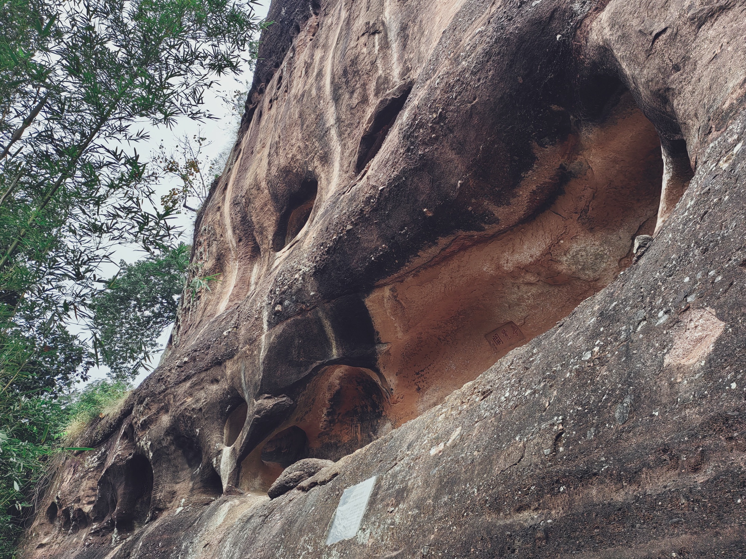
3. Jiangjunzhai / Guizizhai Forest Gorge Circuit
Snapshot
Itinerary
Use the official Jiangjunzhai / Guizizhai access and follow signed forest paths through the gorge, waterfall, old-growth forest, and rock-viewpoint sections. Published descriptions identify the route with primeval forest, waterfalls, cliffs, unusual peaks, and the General Stone landmark. Keep the route to open scenic-area paths only.
Why it is essential
Jiangjunzhai / Guizizhai gives Mangshan its strongest forest-and-gorge day walk. It balances the exposed Wuzhifeng and Tiantai routes with subtropical forest, water, and older scenic-area history.
Equipment
Grippy hiking shoes, rain shell, water, food, insect protection in warm months, and trekking poles for slippery steps.
Hazards and notes
Wet stone, mossy steps, branch trails, storm runoff, and forest humidity are the main hazards. Because Mangshan includes nature-reserve areas, avoid unsanctioned paths into closed or core conservation zones.
GPX / KML links
| Source | URL | Format / access | Reuse status |
|---|---|---|---|
| OpenStreetMap — Mangshan National Forest Park relation | openstreetmap.org | Protected-area relation, not a route file | ODbL data; cross-check only |
| Wikimedia Commons — Mangshan park map | commons.wikimedia.org | Scenic-area map image, CC BY-SA 4.0 | Drafting aid only; currentness unverified |
Further reading
4. Monkey King Village canyon and waterfalls
Snapshot
Itinerary
From the Houwangzhai / Monkey King Village entrance, follow the maintained canyon path past pools, falls, and forest. Published descriptions identify a roughly 2,000 m canyon with many bends and about ten large waterfalls, plus nature-education context covering Mangshan’s wildlife.
Why it is essential
This is the most accessible water-and-canyon walk in the Mangshan set. It gives a shorter route option while still representing the region’s humid forest, waterfalls, and wildlife character.
Equipment
Walking shoes with wet-surface grip, rain shell, water, sun protection, insect protection, and a small dry bag for electronics.
Hazards and notes
Wet steps, waterfall edges, high water after storms, wildlife, and crowding are the main issues. Do not feed monkeys or approach wildlife. Keep to rail-protected public paths.
GPX / KML links
| Source | URL | Format / access | Reuse status |
|---|---|---|---|
| OpenStreetMap — Mangshan National Forest Park relation | openstreetmap.org | Protected-area relation, not a route file | ODbL data; cross-check only |
| Wikimedia Commons — Mangshan park map | commons.wikimedia.org | Scenic-area map image, CC BY-SA 4.0 | Drafting aid only; currentness unverified |
Further reading
5. Shikengkong / Mengkengshi boundary summit
Snapshot
Itinerary
This candidate should use only an officially open summit route to Shikengkong / Mengkengshi. The summit is identified in public sources as a Nanling boundary high point at the junction of Hunan and Guangdong administrative areas. Because current legal access and route geometry were not verified, this should remain a candidate until the exact open trailhead and park / reserve permissions are confirmed.
Why it is essential
Shikengkong / Mengkengshi is the defining high summit of this part of the Nanling system and is widely cited as Guangdong’s highest point. It gives the Mangshan catalogue its serious mountain objective, distinct from the managed scenic boardwalks and canyon walks.
Equipment
Mountain hiking equipment: boots, rain shell, warm layer, food, at least 2 litres of water, headtorch, offline map / GPS, power bank, and an emergency layer. In winter, add traction if local reports mention ice.
Hazards and notes
Fog, storms, navigation uncertainty, poor mobile signal, remote forest, boundary / protected-area access rules, and possible trail closures are material risks. Do not use informal shortcuts or enter closed nature-reserve zones.
GPX / KML links
| Source | URL | Format / access | Reuse status |
|---|---|---|---|
| OpenStreetMap — Shikengkong / Mengkengshi point | openstreetmap.org | Point / area map | ODbL data; cross-check only |
| OpenStreetMap — Mangshan National Forest Park relation | openstreetmap.org | Protected-area relation, not a route file | ODbL data; area context only |
Further reading
Missing data / follow-up work
- No official GPX/KML downloads were found for any of these Mangshan routes in this pass.
- Exact current trailheads, internal shuttle and cableway operations, opening hours, and route closures all need date-specific checking.
- The Wuzhifeng 8 km plank-road figure is verified from a public article, but walking gain and exportable route geometry remain unresolved.
- Tiantai, Jiangjunzhai / Guizizhai, and Monkey King Village all need GPS-grade route measurement from official maps or fresh field tracks.
- Shikengkong / Mengkengshi should not be published as a practical day hike until the legal open trailhead and reserve access rules are confirmed.
Further reading
| Resource | Link |
|---|---|
| SouthCN — Mangshan scenic-area overview | culture.southcn.com |
| New Hunan — Mangshan overview | m.voc.com.cn |
| Wikipedia — Mangshan (Chinese) | zh.wikipedia.org |
| Wikipedia — Shikengkong / Mengkengshi (Chinese) | zh.wikipedia.org |
| OpenStreetMap — Mangshan National Forest Park relation | openstreetmap.org |