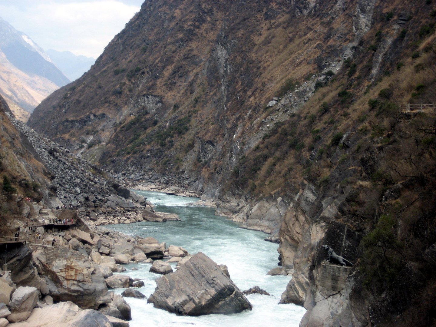
Regional overview
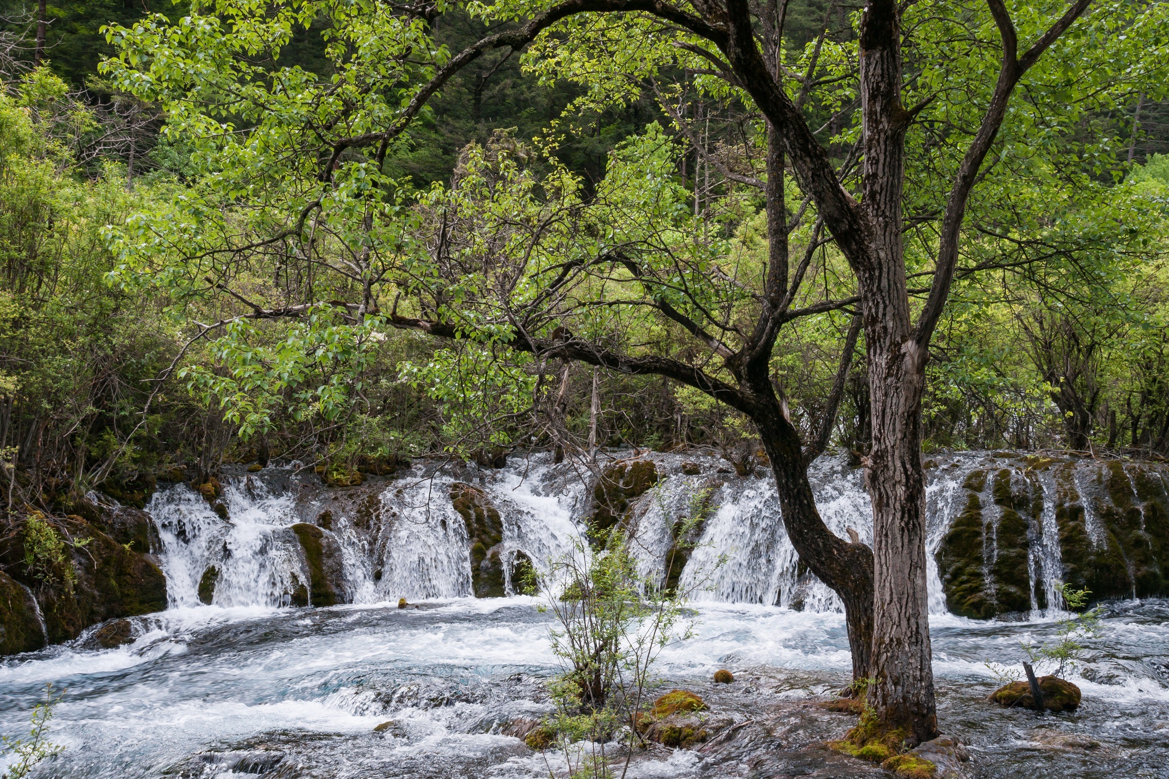
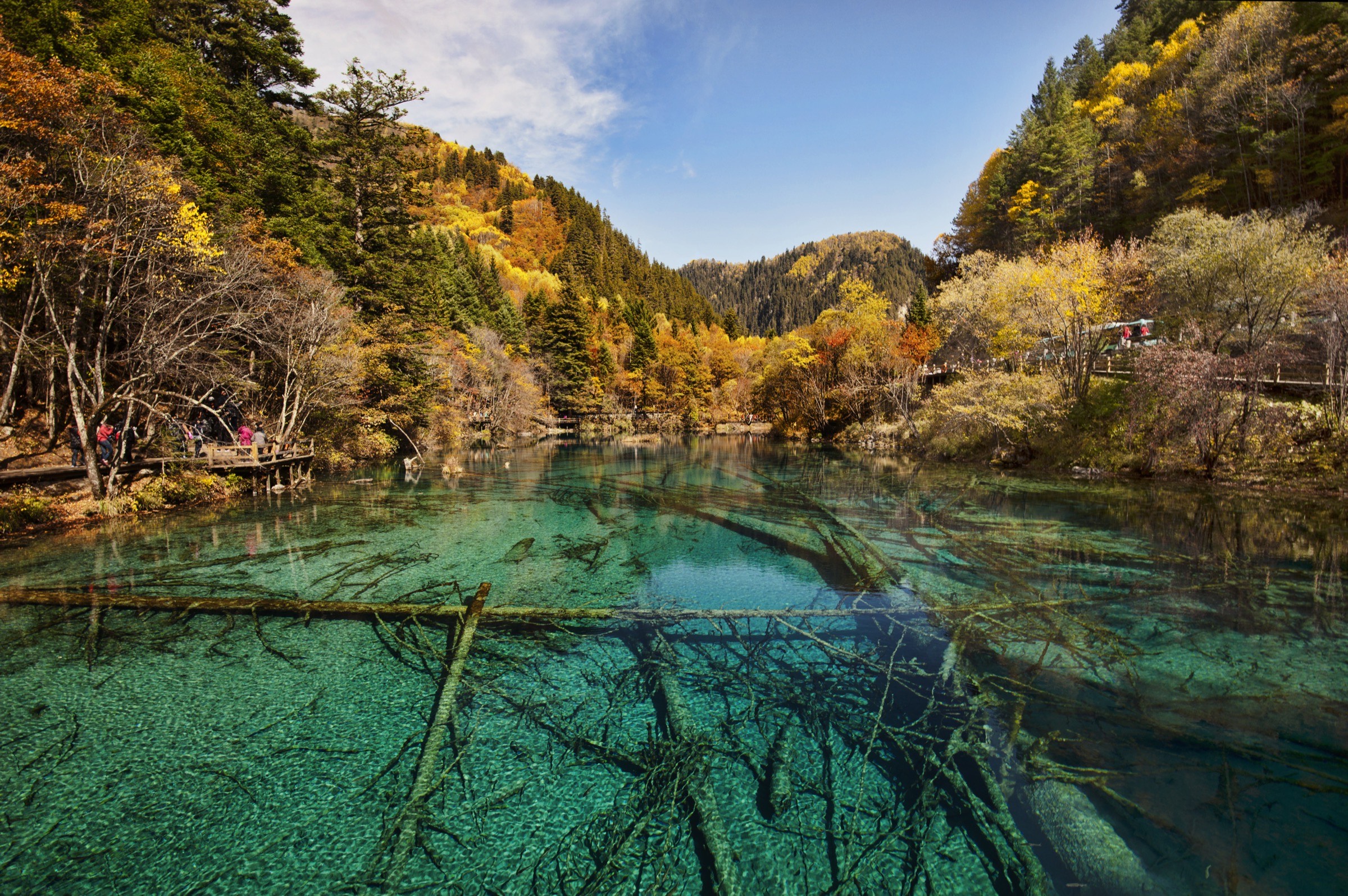
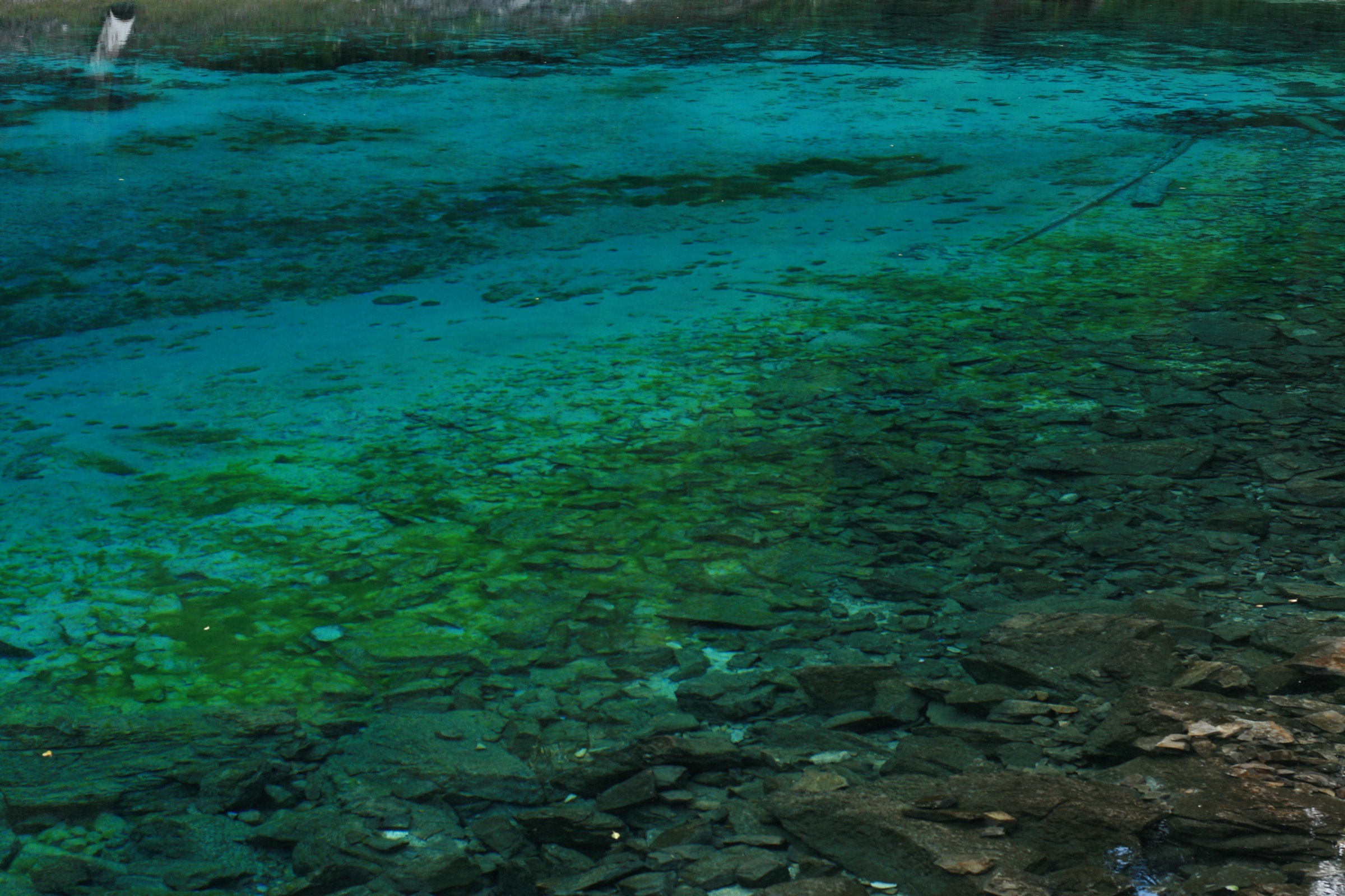
The Jiuzhaigou-Huanglong region is the Min Mountains’ famous water-and-limestone face: turquoise barrier lakes, travertine pools, waterfalls, spruce and mixed forest, Tibetan villages, and high subalpine valleys. The best-known walking is not wilderness trekking but managed scenic-area hiking on boardwalks, shuttle-linked valley paths, and protected World Heritage landscapes.
The walking character is therefore unusual for a mountain catalogue. The routes are visually essential but access-controlled: walkers must use official entries, tickets, buses/eco-shuttles where required, and opened boardwalks. Jiuzhaigou’s official site carried 2026 notices warning against illegal entry into protected core/control zones, and AllTrails route notes for Jiuzhaigou describe mandatory park entry plus eco-shuttle arrangements. This entry treats the hikes as legal scenic-area walks only, not independent backcountry routes.
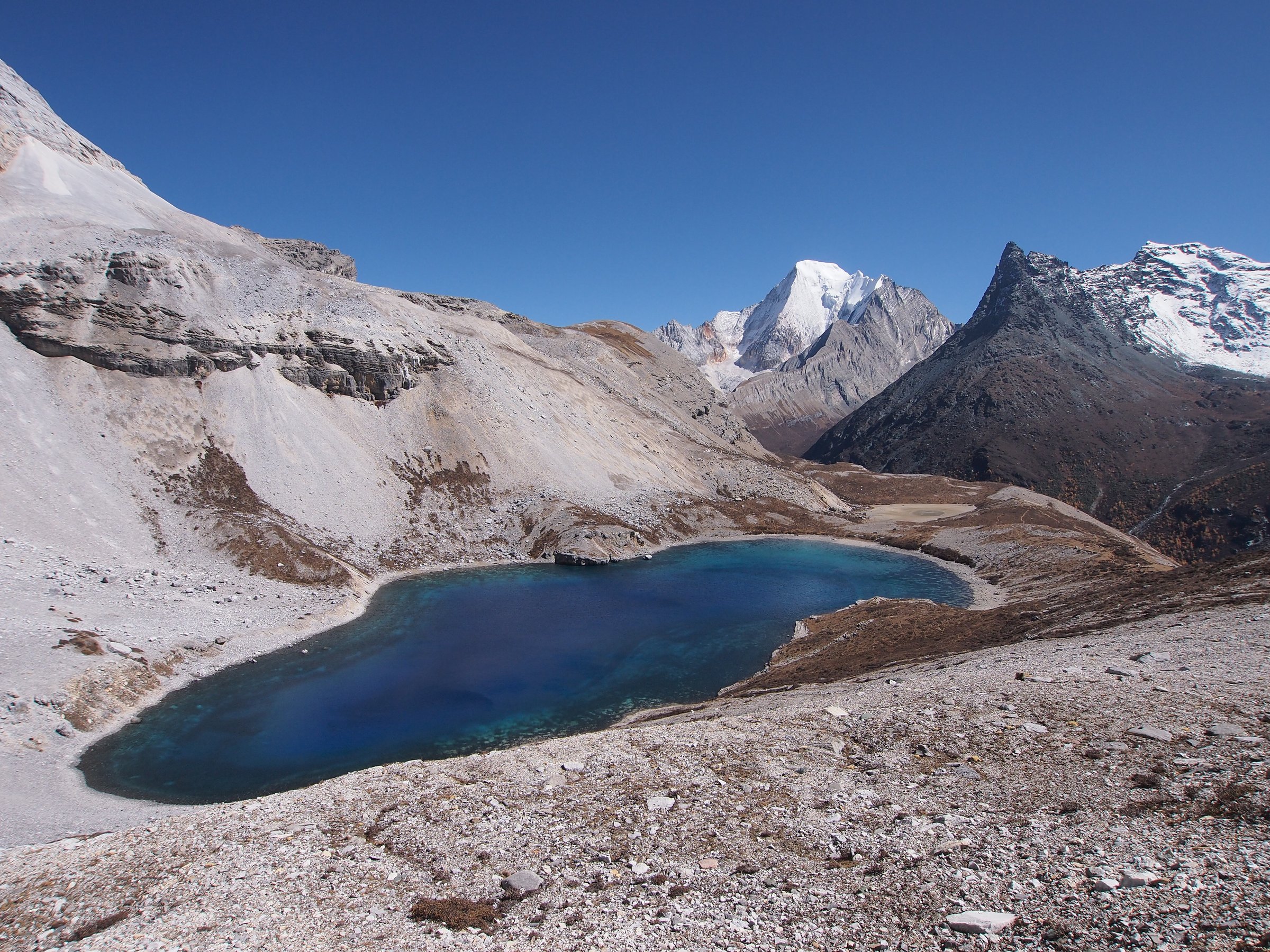
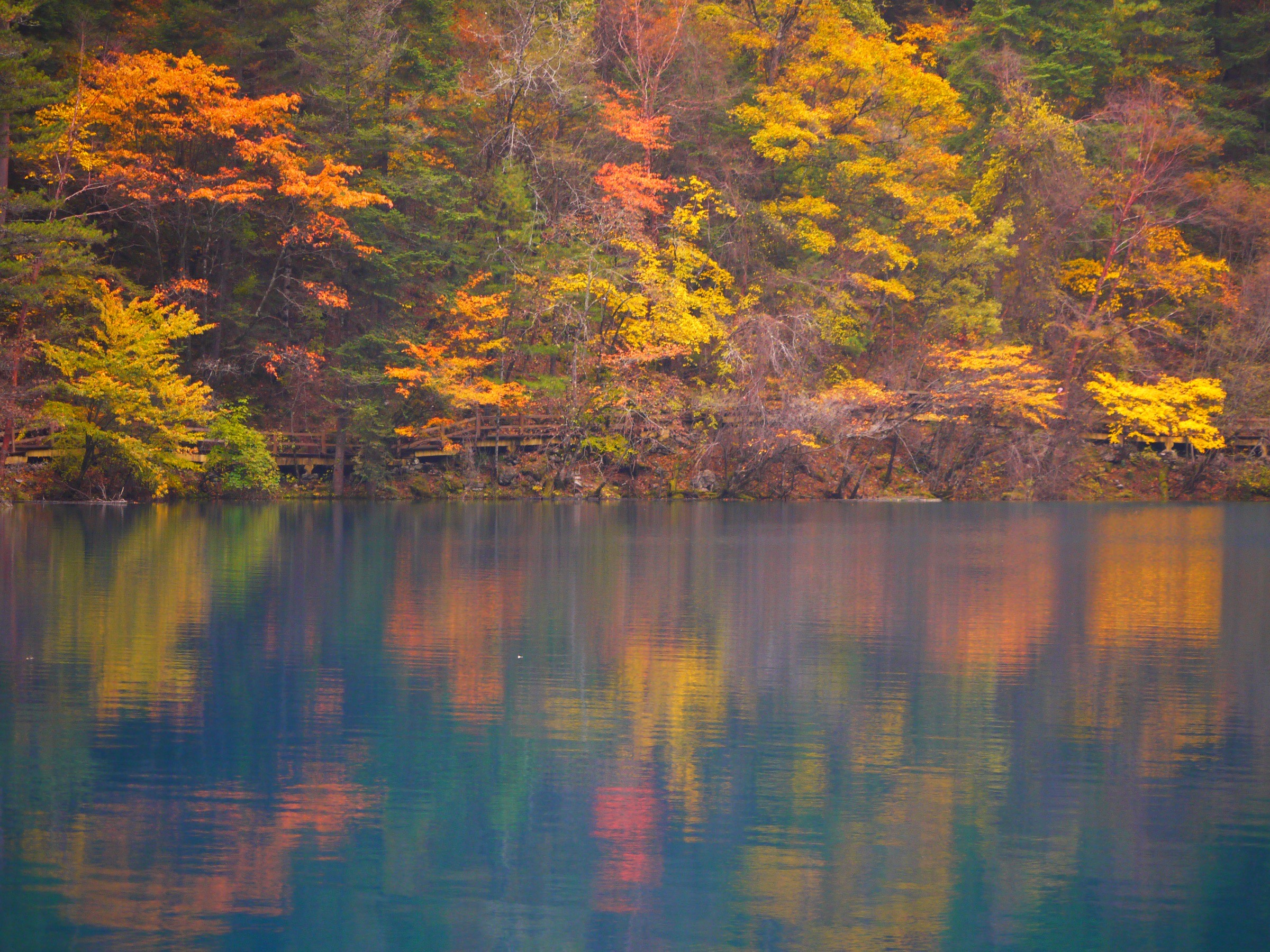
Best seasons are April-November for Jiuzhaigou boardwalks, with autumn foliage the classic peak. Huanglong is higher, with altitude effects at about 3,500-3,600 m and a shorter reliable season; AllTrails’ Huanglong route notes August-October as best. The Min Mountains form the north-eastern end of the Hengduan walking belt, complementing the Cangshan ridge above Dali and the Gaoligong massif on the Nujiang in Yunnan, with the Qionglai range at Siguniangshan as the granite-and-glacier neighbour to the south in Sichuan.
Selection rationale
These five hikes cover the essentials without using banned traverses or multi-day routes: upper Rize Valley, the iconic Five Flower / Pearl Shoal boardwalk, Zechawa Valley’s Long Lake and Five-Colored Pond, Shuzheng Valley’s lower lake chain, and Huanglong’s Five-Colored Pond travertine route.
Summary table
| # | Hike | Country | Route type | Distance | Gain | Max elevation | Difficulty |
|---|---|---|---|---|---|---|---|
| 1 | Jiuzhaigou Rize Valley: Virgin Forest route | China | Point-to-point | 18.0 km | 981 m | 3,011 m | Hard |
| 2 | Jiuzhaigou Five Flower Lake-Pearl Shoal boardwalk | China | Shuttle-linked point-to-point | 4.8-5.5 km combined | Approx. 150-250 m | 2,489 m | Moderate |
| 3 | Jiuzhaigou Zechawa Valley: Long Lake and Five-Colored Pond | China | Point-to-point | 16.3 km | 1,167 m | 3,111 m | Hard |
| 4 | Jiuzhaigou Shuzheng and Tiger Lake | China | Point-to-point | 11.4 km | 478 m | 2,338 m | Moderate |
| 5 | Huanglong Main Valley / Five-Colored Pond Trail | China | Point-to-point | 7.9 km | 126 m | 3,590 m | Moderate, altitude |
1. Jiuzhaigou Rize Valley - Virgin Forest route

Snapshot
Itinerary
This is the upper Rize Valley walking day, linking the managed park entry system with the forested upper valley and the sequence of lakes and waterfalls below. AllTrails notes that, as of April 2026, part of the Virgin Forest boardwalk was under maintenance and shuttle buses could be used to bypass the affected section; confirm this locally before treating the route as fully walkable.
Why it is essential
Rize Valley is the archetypal Jiuzhaigou branch: forest, high clear water, boardwalks, and the famous sequence of lakes and cascades that made the valley internationally known.
Equipment
Comfortable walking shoes, rain shell, warm layer outside midsummer, sun protection, water, snacks, and ticket/ID documents required by the park. Carry an offline map even though the route is managed.
Hazards and notes
Altitude, boardwalk closures, crowds, wet/slippery planks, and strict protected-area rules. Do not leave opened trails.
GPX / KML links
| Source | URL | Format / access | Reuse status |
|---|---|---|---|
| AllTrails: Virgin Forest | alltrails.com | Route page / app map | AllTrails terms apply; source-map and statistics used; route-file reuse not confirmed |
| Official Jiuzhaigou visitor guidance | jiuzhai.com | Official visitor page | Website copyright retained by Jiuzhaigou authority; access/visitor context only |
| OpenStreetMap search: Jiuzhaigou Rize Valley | openstreetmap.org | OSM map/search | ODbL; geometry cross-check only |
Further reading
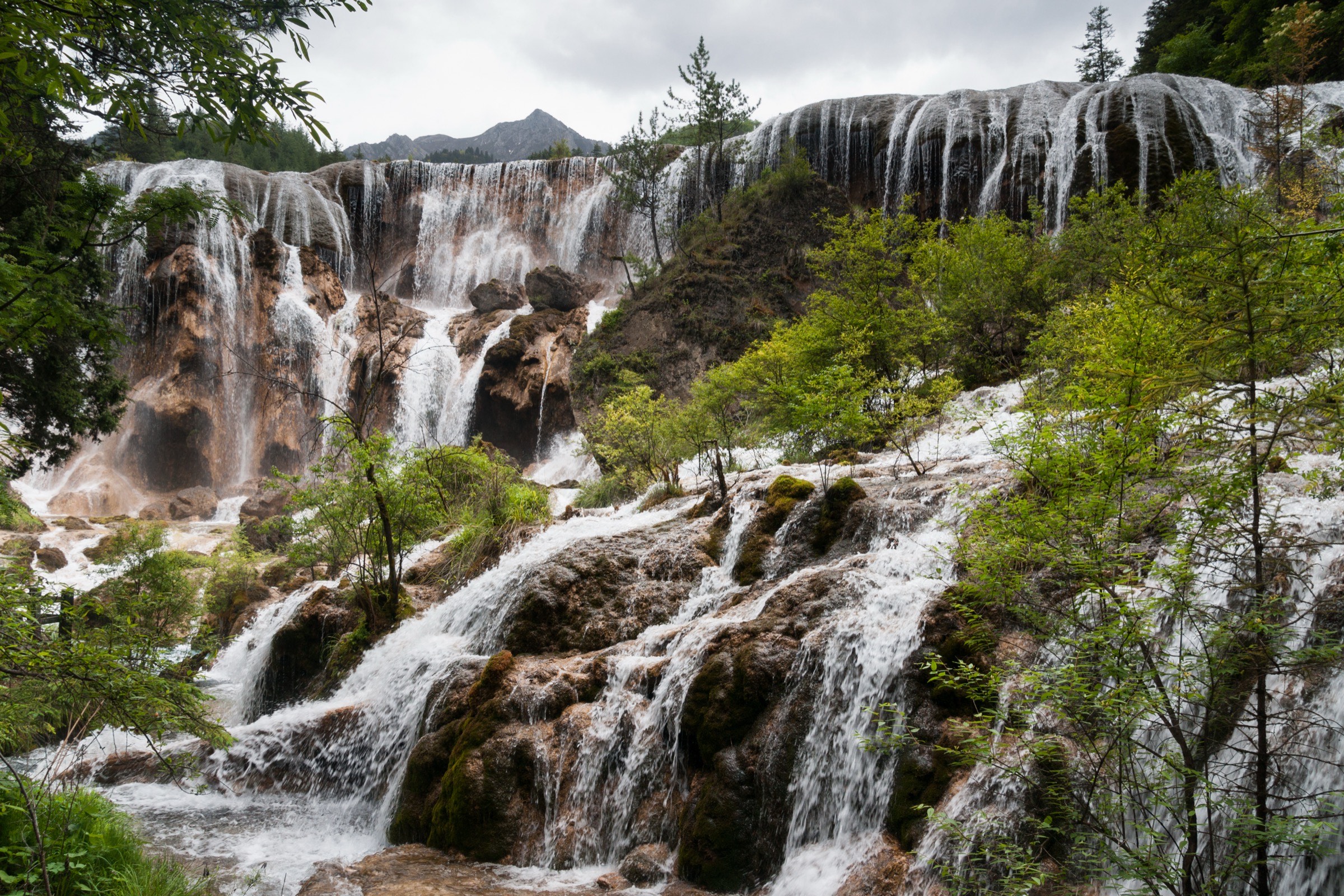
2. Jiuzhaigou Five Flower Lake - Pearl Shoal boardwalk
Snapshot
Itinerary
Walk the opened boardwalks around Five Flower Lake, then continue or shuttle-link toward Pearl Shoal and Pearl Shoal Waterfall. The route is short in distance but visually dense: clear water, forest reflections, shoals, and one of Jiuzhaigou’s signature waterfall scenes.
Why it is essential
Five Flower Lake and Pearl Shoal are among Jiuzhaigou’s most recognisable landscapes. This is the compact iconic-water day for walkers who cannot commit to an 11-18 km valley route.
Equipment
Walking shoes with grip, rain shell, sun protection, water, and warm layer outside summer.
Hazards and notes
Wet boardwalks, crowding at viewpoints, and one-way pedestrian flow changes. Follow official signs rather than trying to stitch informal paths.
GPX / KML links
| Source | URL | Format / access | Reuse status |
|---|---|---|---|
| AllTrails: Five Flowers Lake | alltrails.com | Route page / app map | AllTrails terms apply; component source-map and statistics used; route-file reuse not confirmed |
| AllTrails: Pearl Shoals Waterfall | alltrails.com | Route page / app map | AllTrails terms apply; component source-map and statistics used; route-file reuse not confirmed |
| OpenStreetMap search: Five Flower Lake Pearl Shoal | openstreetmap.org | OSM map/search | ODbL; geometry cross-check only |
Further reading
- AllTrails — Five Flowers Lake
- AllTrails — Pearl Shoals Waterfall
- Official Jiuzhaigou scenic-spot page
3. Jiuzhaigou Zechawa Valley - Long Lake and Five-Colored Pond
Snapshot
Itinerary
Use the official park system to reach the Zechawa branch and walk between Long Lake and Five-Colored Pond on opened boardwalks and paths. The route connects the park’s high lake scenery with one of its most colourful small pools, with forest and seasonal-water sections between.
Why it is essential
Zechawa gives Jiuzhaigou its high-valley contrast: Long Lake, snow-peak views in clear weather, and the brilliant Five-Colored Pond.
Equipment
Layered clothing, rain shell, walking shoes, sun protection, water, food, and warm hat/gloves outside summer.
Hazards and notes
The route is high for a scenic boardwalk area and can be cold. The AllTrails route description explicitly notes that independent hiking into the national park is prohibited; use official entry and bus systems only.
GPX / KML links
| Source | URL | Format / access | Reuse status |
|---|---|---|---|
| AllTrails: Long Lake and Five Colored Pond | alltrails.com | Route page / app map | AllTrails terms apply; source-map and statistics used; route-file reuse not confirmed |
| OpenStreetMap search: Long Lake Five Colored Pond | openstreetmap.org | OSM map/search | ODbL; geometry cross-check only |
Further reading
4. Jiuzhaigou Shuzheng and Tiger Lake
Snapshot
Itinerary
Walk the lower Jiuzhaigou lake chain through the Shuzheng area toward Tiger Lake and neighbouring lakes/waterfalls. This is the lower-valley counterpart to the high Rize and Zechawa routes: easier altitude, more village/forest context, and many short lake-to-lake views.
Why it is essential
Shuzheng Valley is the populated, lower, culturally framed part of Jiuzhaigou and gives the catalogue a different experience from the upper branch walks.
Equipment
Walking shoes, rain shell, water, snacks, sun protection, and a warm layer in shoulder seasons.
Hazards and notes
Crowds and wet boardwalks are more likely than technical hazards. Do not enter closed side paths or protected zones.
GPX / KML links
| Source | URL | Format / access | Reuse status |
|---|---|---|---|
| AllTrails: Shu Sheng and Tiger Lake | alltrails.com | Route page / app map | AllTrails terms apply; source-map and statistics used; route-file reuse not confirmed |
| OpenStreetMap search: Shuzheng Tiger Lake | openstreetmap.org | OSM map/search | ODbL; geometry cross-check only |
Further reading
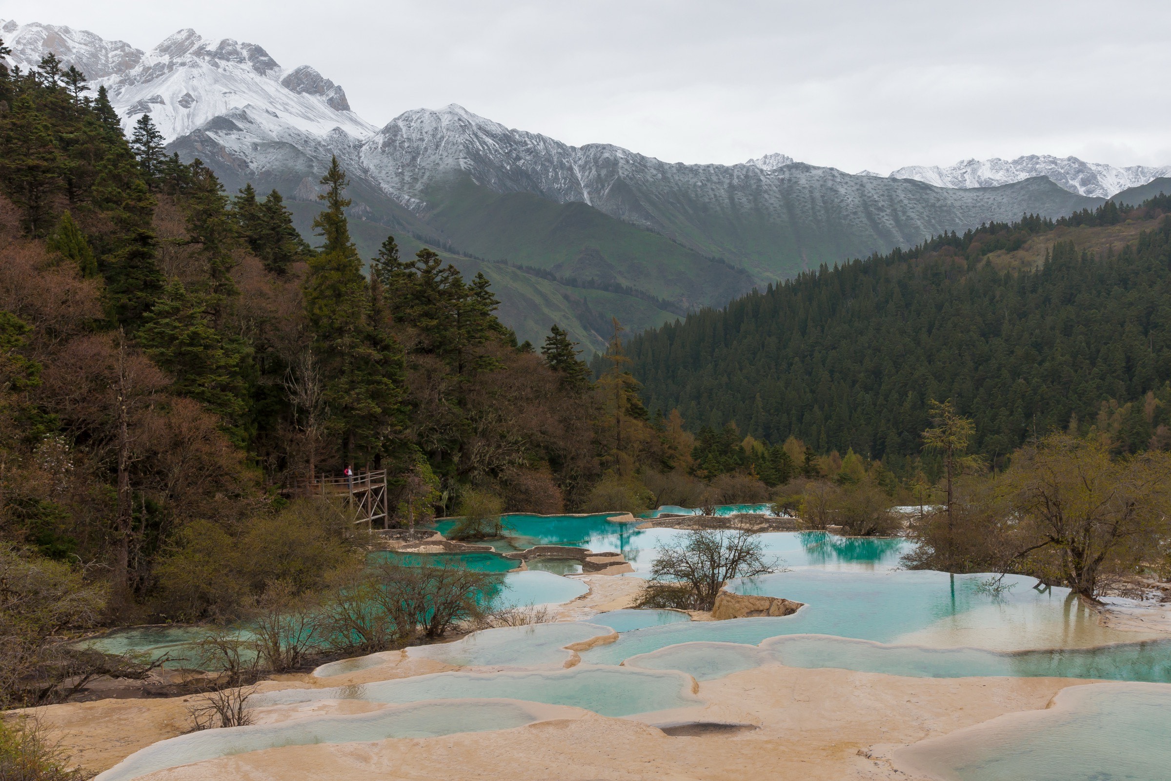
5. Huanglong Main Valley / Five-Colored Pond Trail
Snapshot
Itinerary
Walk Huanglong’s managed valley route past travertine pools, forest, temples, and high boardwalk viewpoints to the Five-Colored Pond area. The ropeway can be used to reduce some climbing, but the route still reaches nearly 3,600 m.
Why it is essential
Huanglong is the region’s travertine classic and the clearest contrast to Jiuzhaigou: gold-white limestone terraces, intensely coloured pools, and a higher, thinner-air valley walk.
Equipment
Warm layer, rain shell, sun protection, water, snacks, and shoes with grip for wet boardwalks. Walk slowly if arriving from lower altitude.
Hazards and notes
Altitude sickness risk, cold, rain/snow, slippery boardwalks, and heavy crowding. Check official ropeway and route status before committing.
GPX / KML links
| Source | URL | Format / access | Reuse status |
|---|---|---|---|
| AllTrails: Huanglong Trail | alltrails.com | Route page / app map | AllTrails terms apply; source-map and statistics used; route-file reuse not confirmed |
| Official Huanglong site | huanglong.com | Official scenic-area site | Website terms not confirmed in this pass; official current-access starting point; route-file not found |
| OpenStreetMap search: Huanglong Five Color Pond | openstreetmap.org | OSM map/search | ODbL; geometry cross-check only |
Further reading
Outstanding verification notes
- No official GPX/KML downloads were found for Jiuzhaigou or Huanglong route geometry.
- All Jiuzhaigou route statistics should be treated as source-map statistics, not permission to walk independently; official buses, one-way systems, and boardwalk closures can change the practical day.
- Re-check Jiuzhaigou official notices before publication: jiuzhai.com.
Further reading
| Source | URL |
|---|---|
| Official Jiuzhaigou site | jiuzhai.com |
| Official Jiuzhaigou visitor guidance | jiuzhai.com |
| Official Jiuzhaigou scenic-spot page | jiuzhai.com |
| Jiuzhaigou official notices (2026) | jiuzhai.com |
| Official Huanglong site | huanglong.com |
| UNESCO Huanglong World Heritage listing | whc.unesco.org |
| UNESCO Jiuzhaigou Valley World Heritage listing | whc.unesco.org |
| Wikipedia — Jiuzhaigou | en.wikipedia.org |
| Wikipedia — Huanglong, Sichuan | en.wikipedia.org |
| Wikipedia — Min Mountains | en.wikipedia.org |
| AllTrails — Virgin Forest | alltrails.com |
| AllTrails — Five Flowers Lake | alltrails.com |
| AllTrails — Pearl Shoals Waterfall | alltrails.com |
| AllTrails — Long Lake and Five Colored Pond | alltrails.com |
| AllTrails — Shu Sheng and Tiger Lake | alltrails.com |
| AllTrails — Huanglong Trail | alltrails.com |