Regional overview
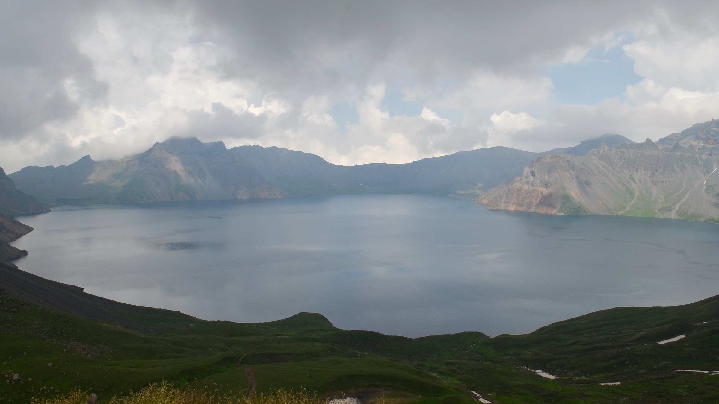
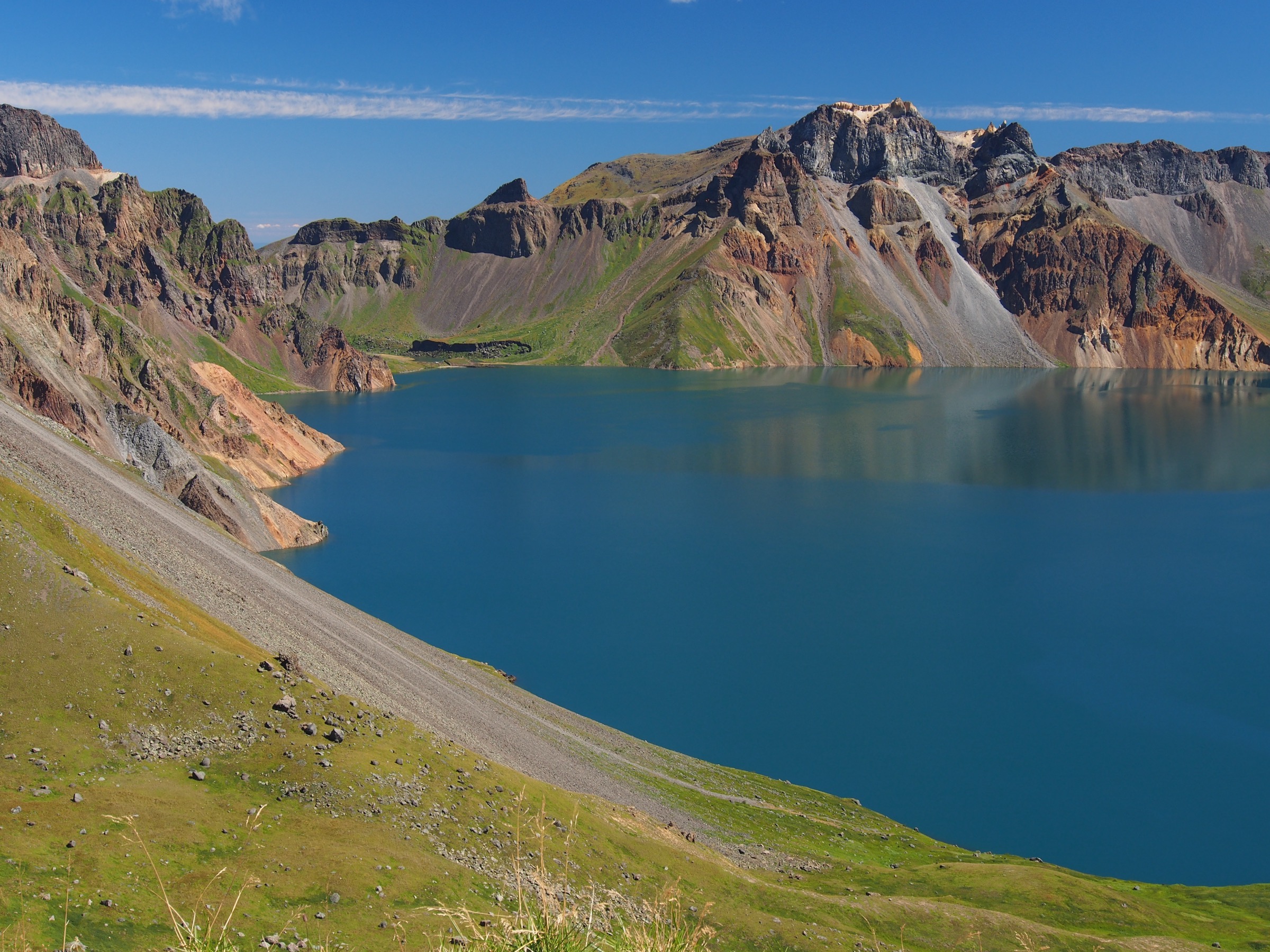
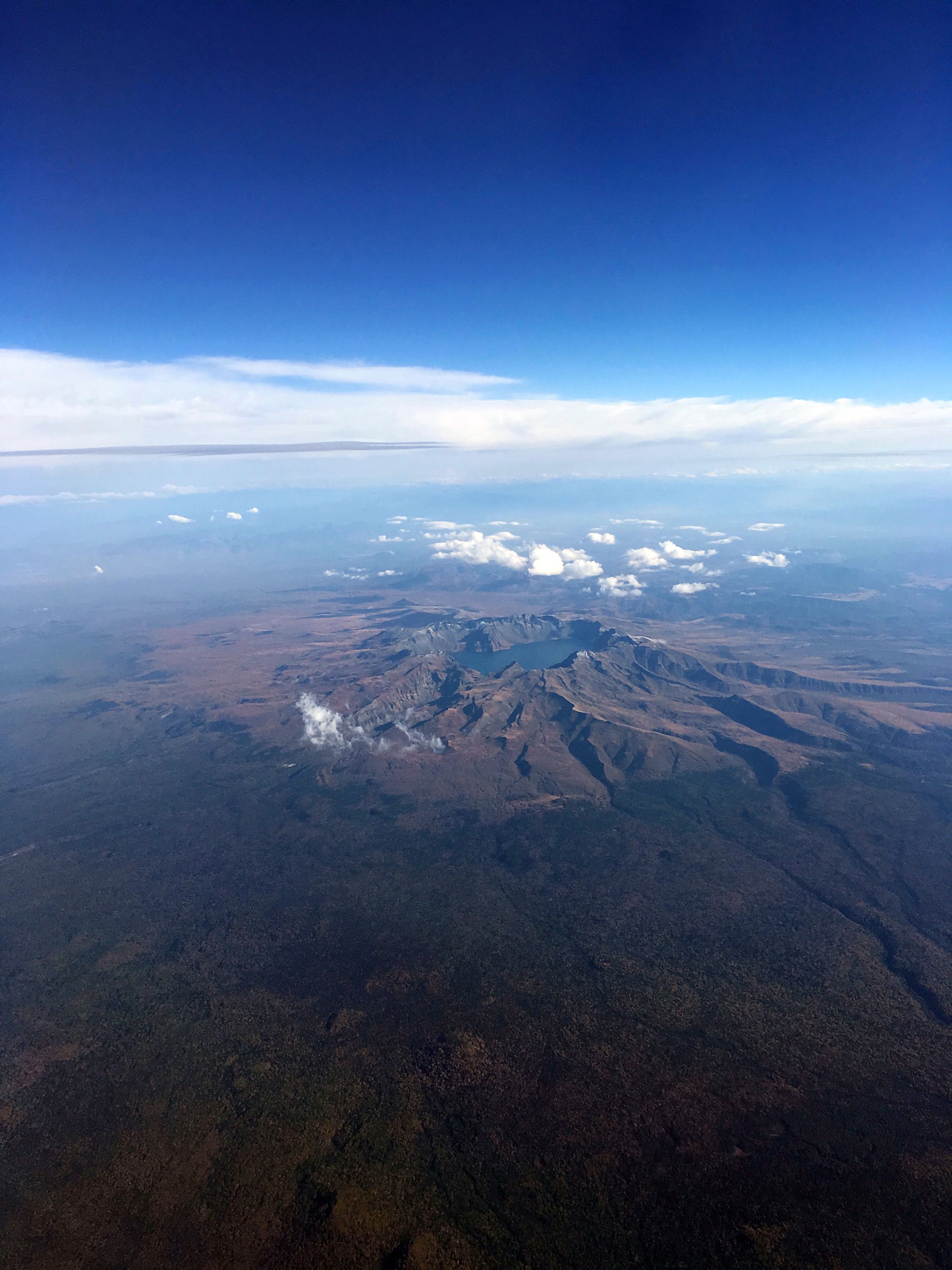
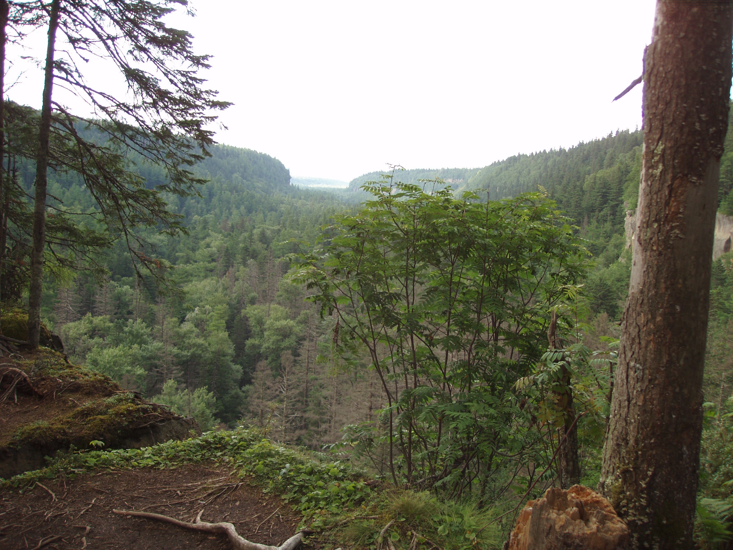
The Laoyeling (老爷岭) is the forested middle-mountain section of the wider Changbai / Manchurian system that runs between Jilin City, Jiaohe, Shulan and the Songhua Lake uplands. It sits below the volcanic high country of Changbai Mountain proper and above the loess and river-plain country of central Jilin, and the day-walking character reflects that: scenic forest parks, granite and volcanic hill masses, autumn red-leaf valleys and a handful of harder, locally used summit routes.
Access is concentrated around three areas. Jiaohe carries the Lafa Mountain National Forest Park and the Red Leaf Valley scenic area on the eastern side. Fengman on the southern edge of Jilin City has Zhuque Mountain National Forest Park above Songhua Lake. The Laoyeling core and the southern Jilin uplands carry higher, less-managed summits including Kangda Lazi (1,233 m) and Nanlou Mountain (1,404.8 m).
Public GPX coverage is thin. Nelson-Trails-style detailed track data does not exist for this region in a publicly reusable form, and several routes below use OpenStreetMap peak nodes and locally used route descriptions rather than clean downloadable tracks. Where distances or elevation gains are given as approximate ranges, they reflect the honest state of the source data rather than firm surveyed figures.
Season is a real planning factor. Late spring to autumn is the general hiking window; October is the red-leaf period at Jiaohe and one of the two peak visiting seasons alongside summer. Winter walking is possible with cold-weather experience and traction (Jilin winters are severe: −20 °C is a common daytime low in January), but ice on stone-step trails and forest-road access constraints add real hazard. Standard equipment is hiking shoes or boots, rain shell, warm layer outside summer, water, food and offline map / GPS backup — the higher summits (Kangda Lazi, Nanlou) need proper mountain kit and a conservative party.
Selection rationale
Five day-scale routes are presented across the Laoyeling. Lafa Mountain is the best-known Jiaohe-side scenic peak with a maintained forest-park loop over the summit and cave features. Kangda Lazi is included as the region’s most credible harder summit-ridge candidate — the peak and elevation are verified, but the exact route is not. Zhuque Mountain is the classic accessible Jilin City summit circuit through a managed forest park above Songhua Lake. Jiaohe Red Leaf Valley represents the region’s autumn forest-walking character. Nanlou Mountain rounds out the catalogue as the higher, more strenuous adjacent summit near the Laoyeling–Jilin-Hada transition. Hikes 2 and 5 are candidate rather than fully guidebook-ready and are flagged as such throughout.
Summary
| # | Hike | Trailhead | Route type | Distance | Gain | Max elevation | Difficulty |
|---|---|---|---|---|---|---|---|
| 1 | Lafa Mountain Summit / Cave Circuit | Lafa Mountain National Forest Park, Jiaohe | Scenic loop / out-and-back | ~5–8 km | ~400–600 m | Unresolved | Moderate |
| 2 | Kangda Lazi Summit Ridge | Forest-road access, Laoyeling core | Out-and-back | ~8–14 km | ~700–1,000 m | 1,233 m | Hard |
| 3 | Zhuque Mountain Summit Circuit | Zhuque Mountain National Forest Park, Fengman | Circuit / out-and-back | ~6–10 km | ~500–700 m | 871 m | Moderate |
| 4 | Jiaohe Red Leaf Valley Forest Walk | Red Leaf Valley scenic-area access, Jiaohe | Loop / out-and-back | ~5–12 km | Unresolved | Unresolved | Easy–Moderate |
| 5 | Nanlou Mountain Summit Route | Nanlou or Beidahu-side access, Jilin City | Out-and-back | ~8–14 km | ~800–1,000 m | 1,404.8 m | Hard |
1. Lafa Mountain Summit / Cave Circuit
Snapshot
Itinerary
Enter Lafa Mountain National Forest Park at Jiaohe and follow the maintained scenic paths that link the summit viewpoints and the cave / cliff features the park is known for. The exact loop varies by which scenic-area entrances are open on the day; the standard visitor circuit combines the summit approach with the cave section before returning to the gate.
Why it is essential
Lafa Mountain is one of the best-known Jiaohe / Laoyeling-side scenic peaks — the accessible day-walking benchmark for the eastern Laoyeling and a natural first outing for visitors basing themselves in Jilin City or Jiaohe.
Equipment
- Hiking shoes with grippy soles
- Rain shell
- Warm layer outside summer
- Water and snacks
- Winter traction if ice is expected on the stone steps
Hazards and notes
- Wet stone and cave features — take care on wet rock and cliff sections
- Route statistics unclear — no publicly published distance / gain figures; ranges above are approximate
- Winter ice on stone steps can be serious — check current scenic-area conditions
- Trailhead specifics unresolved — confirm the current scenic-area gate and route at the ticket office
2. Kangda Lazi Summit Ridge
Snapshot
Itinerary
A locally used mountain route reaches the Kangda Lazi (康达砬子, 1,233 m) summit from the forest-road network in the Laoyeling core. Route details, current access status and legal trailhead position all need local confirmation before committing. The natural line is an out-and-back climb through mixed forest to the ridge, then along the crest to the peak.
Why it is essential
Kangda Lazi gives the region its most credible true mountain-ridge summit day. It is high, harder than the managed forest-park routes, and represents what the Laoyeling looks like away from the ticket gates. It is included here as the strongest available candidate; verification is not complete.
Equipment
- Hiking boots with ankle support
- Offline map / GPS — the OSM peak node is the most reliable location reference
- Rain shell and warm layer — Jilin ridge weather changes fast
- Food and 2 L water
- Winter traction if any ice is expected
- Personal Locator Beacon or emergency comms
Hazards and notes
- Access is unresolved — confirm current legality and forest-road status before departure
- Faint paths and forest navigation — treat this as route-finding rather than trail-following
- Weather exposure on the ridge — be prepared to turn back
- Winter snow and ice make this a serious undertaking outside the dry-snow-free window
- Candidate route — peak and elevation are verified, but the day-hike line is not
3. Zhuque Mountain Summit Circuit
Snapshot
Itinerary
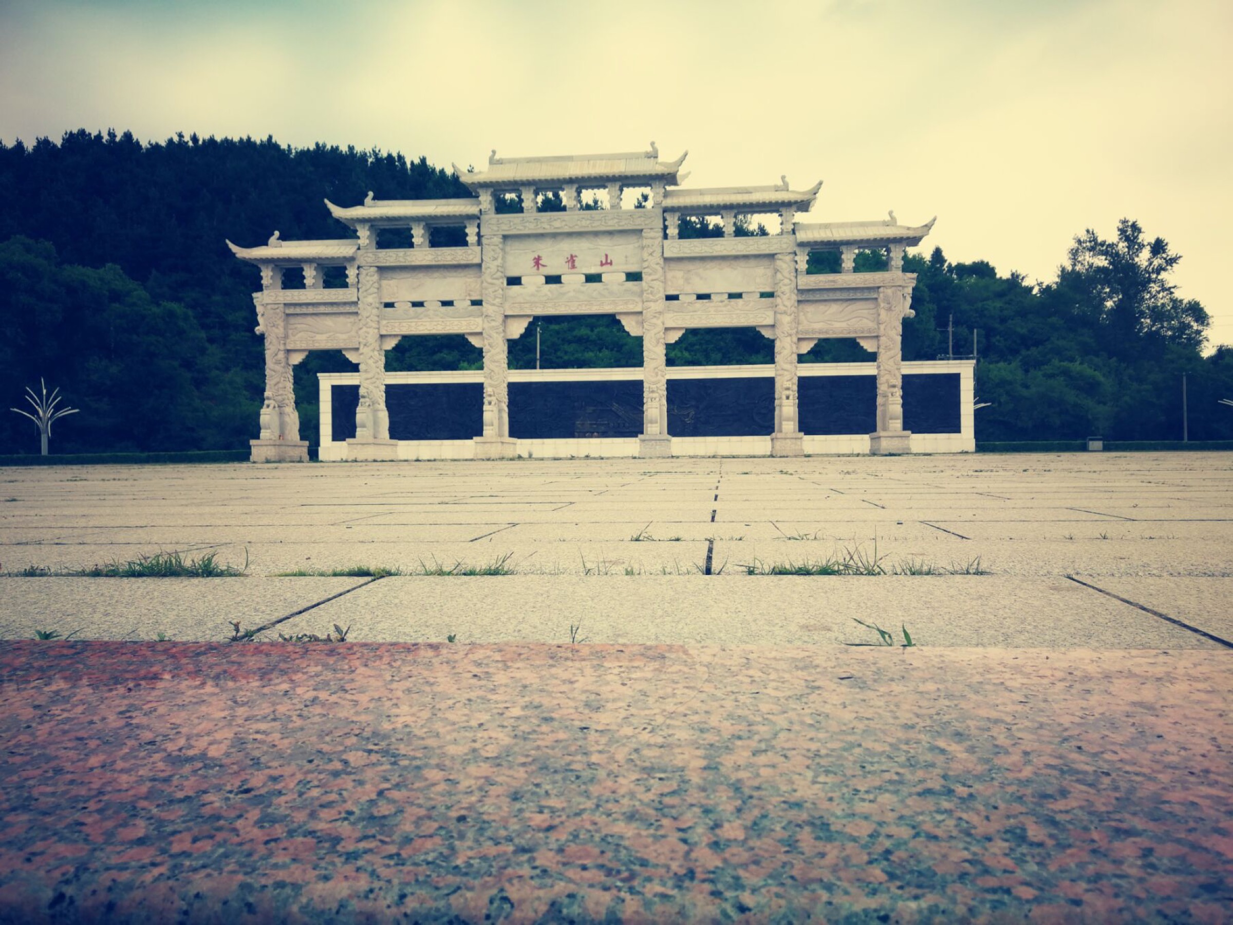
Enter Zhuque Mountain National Forest Park (朱雀山国家森林公园) at Fengman and climb the maintained forest-park paths toward the summit viewpoints, returning through the scenic-area path system. The stone-step and paved sections make this the most managed walk in the catalogue, and the Songhua Lake backdrop is the visual signature.
Why it is essential
Zhuque Mountain is the classic accessible Jilin City summit route and one of the better-sourced forest-park hikes in the Laoyeling / Songhua Lake area. It is the natural benchmark for what a “day walk” from Jilin City looks like without leaving the managed scenic-area system.
Equipment
- Hiking shoes with grippy soles
- Rain shell
- Water and snacks
- Traction in winter — the stone steps ice up
Hazards and notes
- Stone steps and wet rock — take care on the paved summit sections
- Winter ice — a real hazard on the stepped paths
- Crowding in peak season — plan an early start on autumn weekends
- Scenic-area operating hours — check current ticketing and closing times before departure
4. Jiaohe Red Leaf Valley Forest Walk
Snapshot
Itinerary
Walk the scenic forest-valley paths in the Jiaohe Red Leaf Valley area, choosing the open public section available on the day. The valley network is used primarily as an autumn red-leaf destination — the visitor infrastructure is built around October colour rather than around technical hiking.
Why it is essential
Red Leaf Valley represents the lower Laoyeling forest and autumn walking character. It is the region’s clearest expression of the northeast-China October colour season, and it sits close enough to Jiaohe town that it works as a day trip without a full mountain commitment.
Equipment
- Walking shoes with grippy soles
- Rain shell
- Warm layer in shoulder seasons — Jiaohe autumn temperatures drop fast at dusk
- Water and snacks
Hazards and notes
- Route statistics unresolved — no publicly published distance or gain figures
- Wet paths after rain
- Seasonal crowding during the autumn colour peak
- Winter snow and ice — the scenic area is not primarily a winter destination
5. Nanlou Mountain Summit Route
Snapshot
Itinerary
Climb the public or locally confirmed Nanlou Mountain access route to the 1,404.8 m summit area and return the same way. The peak sits in the southern Jilin City uplands near the Laoyeling–Jilin-Hada transition; access is often described via the Nanlou scenic area on one side or from the Beidahu ski-resort corridor on the other, and both approaches need local confirmation before commitment.
Why it is essential
Nanlou Mountain is the higher, more strenuous adjacent summit that gives the wider Jilin City area a serious forested summit day. It is included as an adjacent-range candidate rather than a fully guidebook-ready route — the elevation is verified, the exact day-hike line is not.
Equipment
- Hiking boots with ankle support
- Offline map / GPS
- Rain shell and warm layer
- Food and 2 L water
- Winter kit if snow or ice is possible
- Personal Locator Beacon or emergency comms
Hazards and notes
- Scope and access unresolved — confirm the current legal trailhead before departure
- Forest navigation — the summit route is not maintained to scenic-area standard
- Weather exposure on the higher sections
- Snow and ice are a real winter constraint
- Candidate route — included for scope; not fully verified
Further reading
| Resource | Link |
|---|---|
| Wikipedia — Laoyeling (老爷岭) | zh.wikipedia.org |
| Wikipedia — Jiaohe City (蛟河市) | zh.wikipedia.org |
| Wikipedia — Zhuque Mountain National Forest Park (朱雀山) | zh.wikipedia.org |
| Wikipedia — Nanlou Mountain (南楼山) | zh.wikipedia.org |
| OpenStreetMap — Lafa Mountain peak | openstreetmap.org |
| OpenStreetMap — Kangda Lazi peak | openstreetmap.org |
| OpenStreetMap — Zhuque Mountain peak | openstreetmap.org |
| Wikimedia Commons — Changbai Mountain | commons.wikimedia.org |
| Site — Changbai / Manchurian Mountains catalogue | /articles/china-changbai-manchurian-mountains-essential-day-hikes/ |