Regional overview
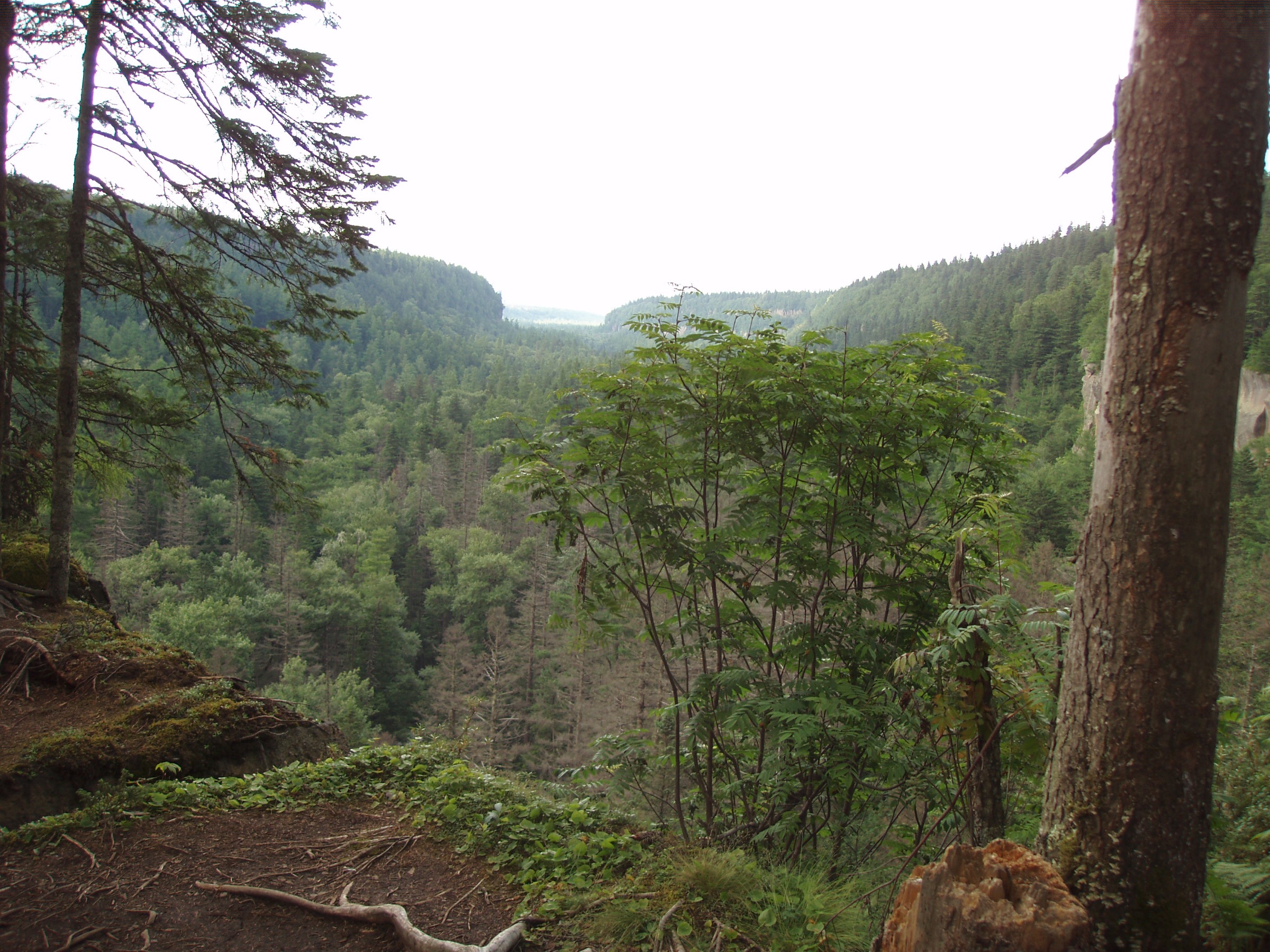
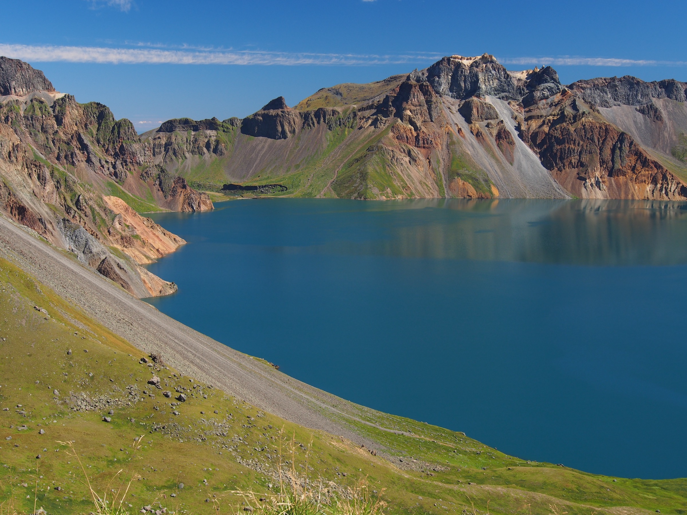
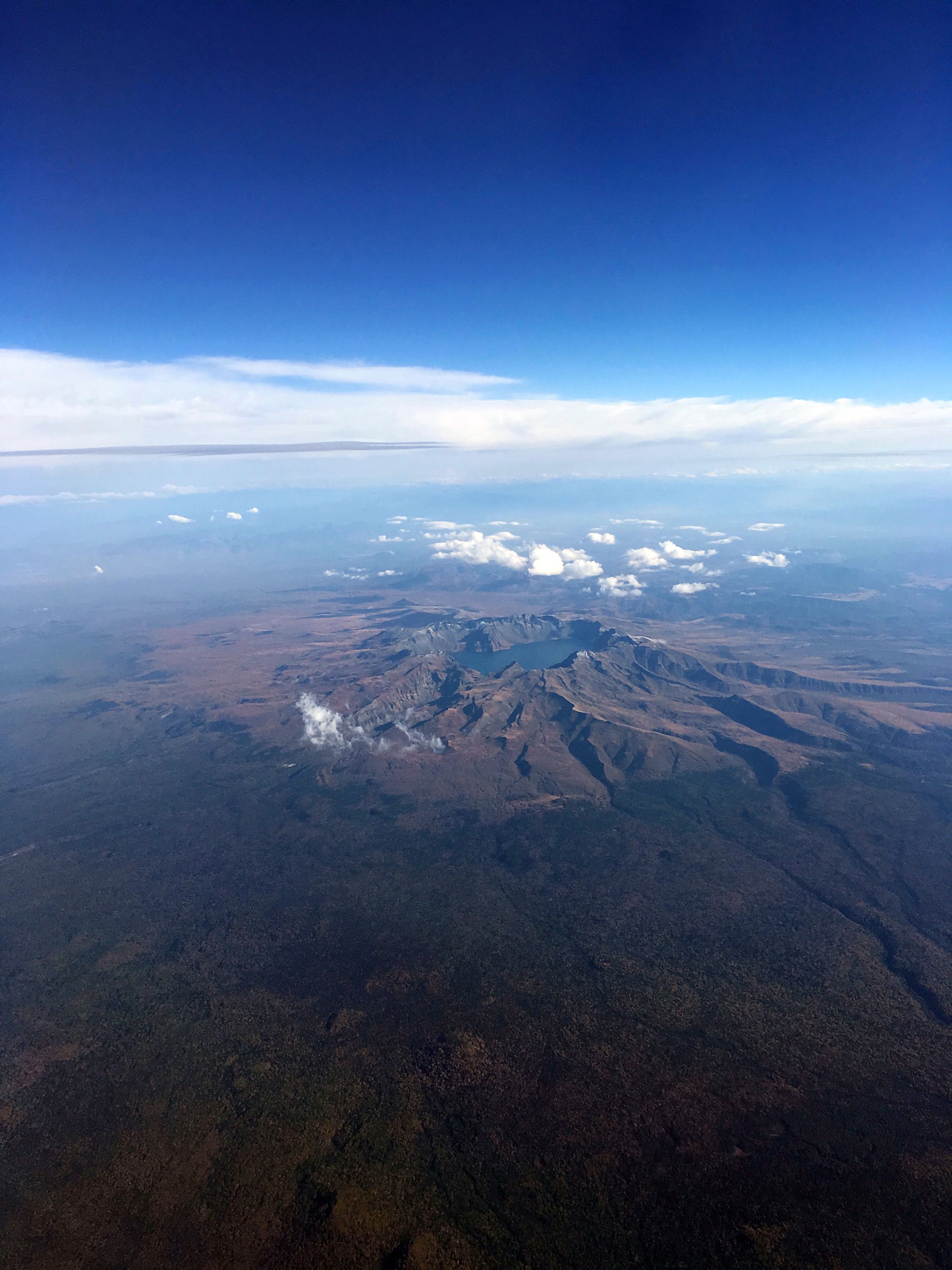
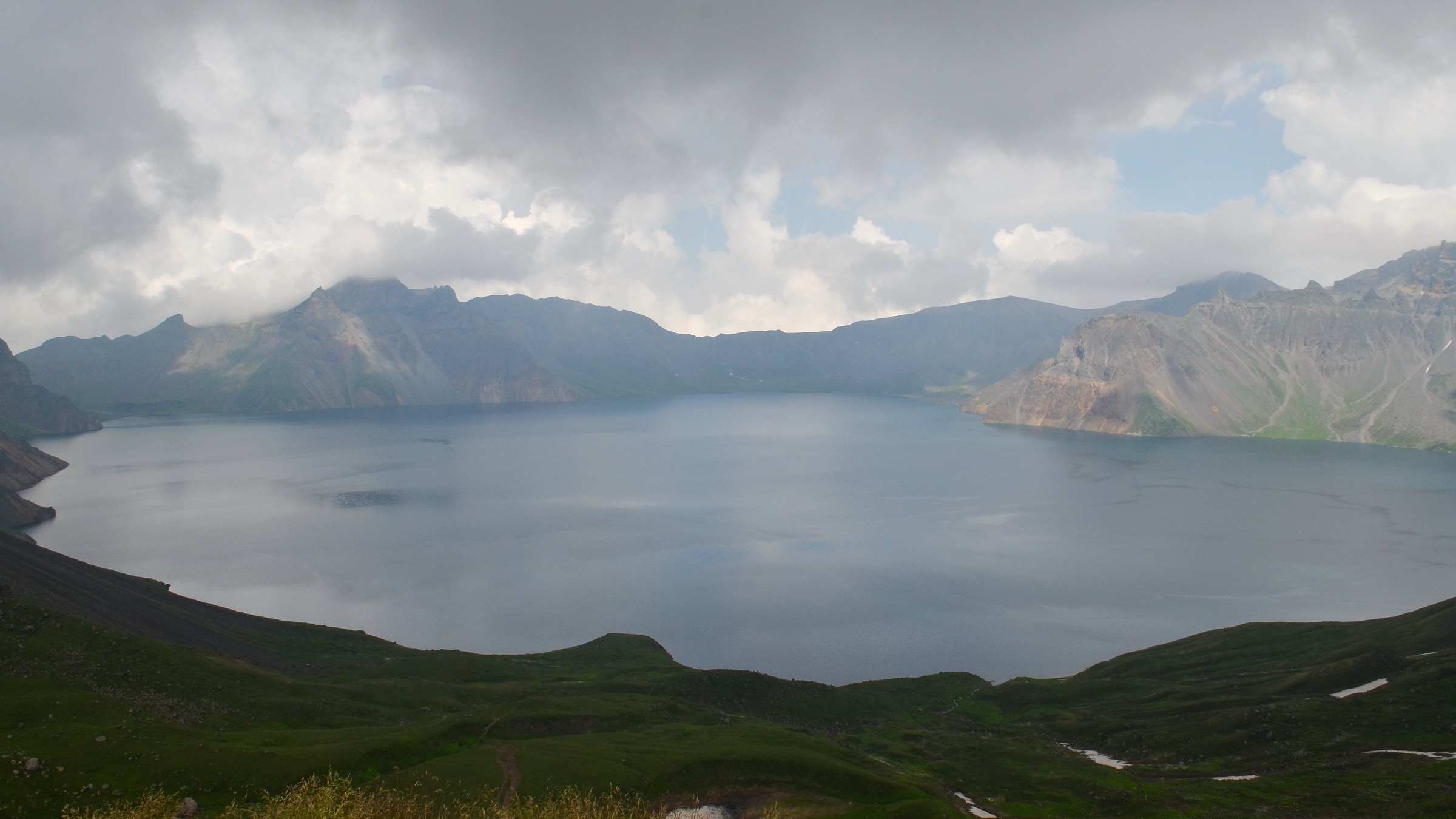
The Changbai Shan South Slope region is a controlled scenic-area landscape, not an open backcountry hiking zone. Walking here is made up of shuttle-assisted crater-rim viewpoints, Yalu-headwater gorge boardwalks, forest paths inside the scenic area, and — outside the ticketed zone — a set of volcanic canyon walks in Changbai Korean Autonomous County along the Yalu River tributaries. The signature feature is Tianchi (Heaven Lake), the 2,189.1 m volcanic crater lake shared with North Korea, whose southern crater rim is reached from the South Scenic Area upper visitor path.
The three access frames are the Changbai Shan South Scenic Area ticket and shuttle system for Hikes 1 and 2, and independent Changbai County road access to the Wangtian’e / Shiwudaogou and lower Yalu-tributary valleys for Hikes 3–5. All routes here should be planned around current scenic-area operating status, seasonal opening on the South Slope, and Chinese border-zone regulations along the Yalu.
Two catalogue framing notes shape this entry. First, the official Changbaishan scenic-area site was not reachable in this pass, so the entries below use encyclopedic sources, OpenStreetMap and Wikimedia Commons metadata rather than an official route inventory; anything not measured from a public route file is marked approximate or unresolved. Second, Hikes 4 and 5 are candidate objectives only — the Shisandaogou and Shijiudaogou / Malugou forested watercourse corridors along the Yalu are proposed day sections whose legal trailhead access and current permit status need local confirmation before they can be published as fully resolved routes.
Selection rationale
The five selections cover the sector’s essential day-walk spectrum. The South Slope Tianchi Overlook Walk is the signature crater-rim viewpoint from the Chinese south side. The Yalu River Grand Canyon Scenic Walk adds the sector’s most accessible volcanic-plateau gorge landscape from the same ticketed zone. The Wangtian’e / Shiwudaogou Canyon Walk is the strongest nearby non-crater day-walk candidate, giving volcanic cliffs, waterfalls and Yalu-side forest without the Tianchi shuttle system. The Shisandaogou and Shijiudaogou / Malugou forested watercourse corridors complete the set as lower-elevation Yalu-tributary valley candidates that need local access confirmation.
Summary
| # | Hike | Trailhead | Route type | Distance | Difficulty |
|---|---|---|---|---|---|
| 1 | South Slope Tianchi Overlook Walk | South Scenic Area upper visitor path | Shuttle-assisted boardwalk / stair out-and-back | 1–3 km walking (unresolved) | Easy–Moderate |
| 2 | Yalu River Grand Canyon Scenic Walk | South Scenic Area Yalu Canyon visitor stop | Boardwalk / canyon out-and-back | 2–5 km (unresolved) | Easy–Moderate |
| 3 | Wangtian’e / Shiwudaogou Canyon Walk | Wangtian’e / Shiwudaogou scenic entrance, Changbai County | Gorge / waterfall out-and-back | 5–10 km (unresolved) | Moderate |
| 4 | Shisandaogou Forest-Valley Candidate | Shisandaogou valley road access, Changbai County | River-valley out-and-back candidate | 6–12 km candidate section | Moderate |
| 5 | Shijiudaogou / Malugou Forest-Watercourse Candidate | Malugou / Hengshan forest-road access, Changbai County | River-valley out-and-back candidate | 6–12 km candidate section | Moderate |
1. South Slope Tianchi Overlook Walk
Snapshot
Itinerary
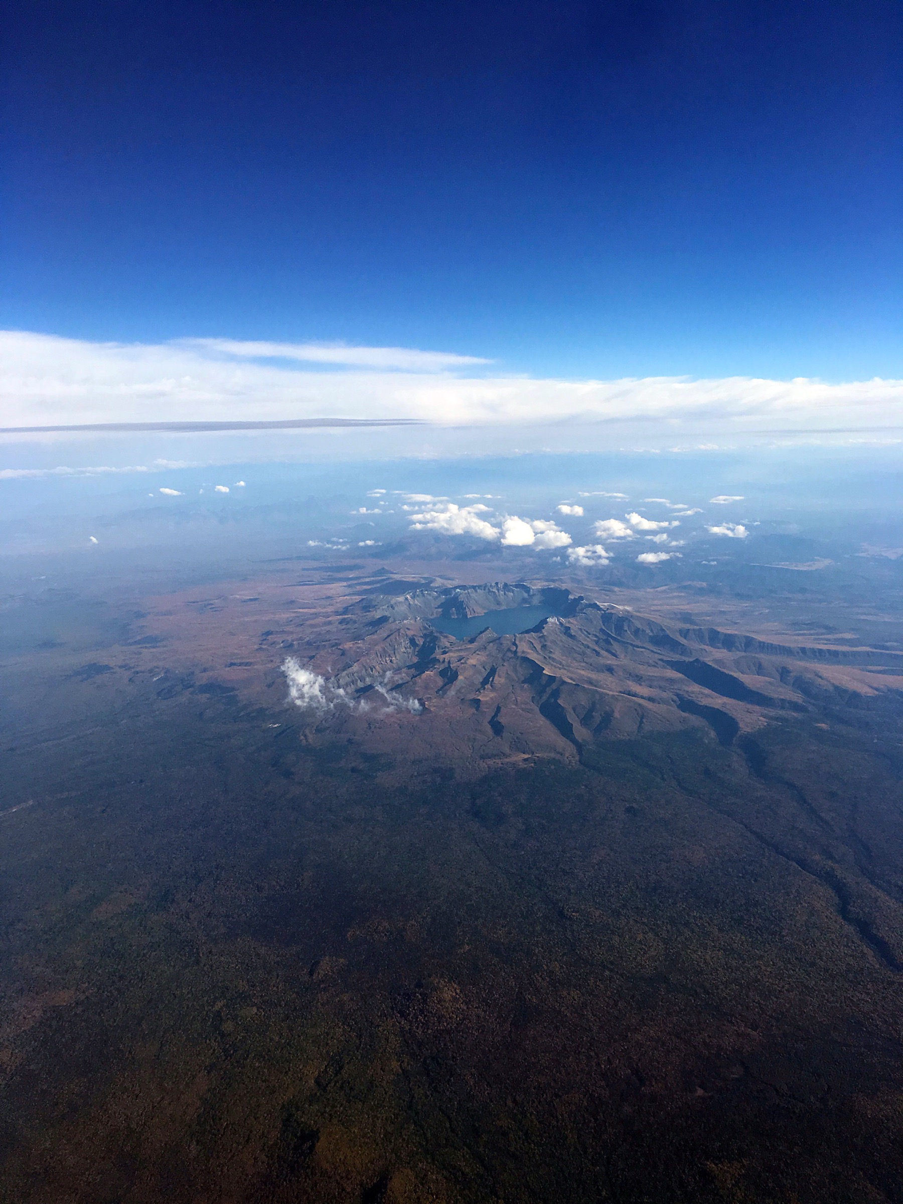
Use the controlled South Scenic Area visitor system to reach the upper Tianchi viewing path, then walk the open boardwalk and stair section to the south-side crater-lake overlook. Return by the same route.
Why it is essential
Tianchi is the iconic volcanic crater lake of Changbai Shan and the defining feature of the region — the South Slope overlook is the standard Chinese-side south approach to that view.
Equipment
- Warm layer and waterproof shell — the rim is exposed at 2,000 m+
- Grippy shoes; traction devices in icy periods
- Sun protection
- 1 L water and snack
- Cash and current scenic-area ticket / permit
Hazards and notes
- Fog, high wind and lightning are common on the rim — visibility can shut a viewpoint day
- Ice, sudden closures and strict border / scenic-area controls apply on the south side
- Shuttle queues can dominate the day — arrive early
- Official current route map was not reached in this pass — verify the pedestrian section with the scenic-area operator on the day
2. Yalu River Grand Canyon Scenic Walk
Snapshot
Itinerary
Follow the open canyon boardwalk or scenic path along the Yalu River Grand Canyon viewpoint section inside the South Scenic Area. Return by the same route.
Why it is essential
This walk represents the south-side volcanic plateau and Yalu-headwater canyon landscape — the sector’s most accessible non-Tianchi ticketed viewpoint.
Equipment
- Walking shoes
- Wind and rain shell
- Water and snack
- Traction devices if icy
Hazards and notes
- Cliff edges along the canyon rim
- Wet boardwalks, snow and ice can shut sections
- Scenic-area closures for maintenance or weather are possible
- No licence-compatible image for this canyon section was found in this pass
3. Wangtian’e / Shiwudaogou Canyon Walk
Snapshot
Itinerary
Walk the public scenic-gorge path through the Wangtian’e / Shiwudaogou volcanic canyon and waterfall area in Changbai County, south of the Tianchi scenic zone.
Why it is essential
Wangtian’e / Shiwudaogou is the strongest nearby non-crater south Changbai day-walk candidate — volcanic cliffs, waterfalls and Yalu-side forest, on a route that does not depend on the Tianchi shuttle system.
Equipment
- Walking shoes
- Rain shell
- Water and snack
- Insect protection in warm months
- Offline map
Hazards and notes
- Wet rock in the gorge and around waterfalls
- Gorge edges and drops on the scenic path
- Seasonal water and ice — the canyon holds ice late into spring
- Controlled scenic-area access — check current opening status
- No licence-compatible image for this canyon was found in this pass
4. Shisandaogou Forest-Valley Candidate
Snapshot
Itinerary
A proposed day section along the Shisandaogou forested river valley south of Changbai Shan, subject to local access confirmation. The full river runs 26.6 km; the candidate day section is a lower forested reach.
Why it is essential
Shisandaogou represents the Yalu-tributary forest-valley character south of Changbai Shan — the type of lower, non-scenic-area walking the region offers outside the ticketed zones.
Equipment
- Hiking shoes
- Rain shell
- Water and snack
- Offline map and current local access confirmation
Hazards and notes
- Access legality was not verified in this pass — treat this as a candidate, not a resolved route
- Road walking, forestry traffic and possible river crossings
- Border-zone regulations apply throughout the Yalu corridor
- No licence-compatible image was found in this pass
5. Shijiudaogou / Malugou Forest-Watercourse Candidate
Snapshot
Itinerary
A proposed day section along the Shijiudaogou watercourse / forest-road corridor, subject to local confirmation. The full river runs 51.1 km; the candidate day section is a mid-valley forested reach accessed from Malugou / Hengshan.
Why it is essential
Shijiudaogou gives a second Yalu-side valley option in the sector, representing the lower, forested south Changbai walking landscape distinct from the Wangtian’e / Shiwudaogou gorge.
Equipment
- Hiking shoes
- Rain shell
- Water and snack
- Offline map and current local access confirmation
Hazards and notes
- Access legality was not verified in this pass — treat this as a candidate, not a resolved route
- Forestry road conditions and weather dominate the corridor
- River-edge footing and possible crossings
- Border-zone regulations apply throughout the Yalu corridor
- No licence-compatible image was found in this pass
Missing data / follow-up work
- The official Changbaishan scenic-area site was not reachable in this pass — current South Slope operating status, pedestrian distances and route maps for Hikes 1 and 2 need to be verified against the official operator before publication as fully resolved routes.
- No GPX or KML downloads were confirmed for any of the five hikes; Hike 1 would need manual GPX from on-site logging.
- Wangtian’e / Shiwudaogou route geometry — distance, elevation gain and route high point — is unresolved from public sources.
- Hikes 4 and 5 are candidates only — Shisandaogou and Shijiudaogou / Malugou legal trailhead access, current permit status and route inventory need local confirmation.
- Licence-compatible imagery for Hikes 2, 3, 4 and 5 was not found in this pass; only Tianchi crater-lake images meet the catalogue’s ≥2,000 px + commercial-reuse requirement.
Further reading
| Resource | Link |
|---|---|
| Wikipedia — Paektu Mountain (Changbai Shan) | en.wikipedia.org |
| Wikipedia — Heaven Lake (Tianchi) | en.wikipedia.org |
| Wikipedia — Yalu River | en.wikipedia.org |
| Wikipedia (Chinese) — Changbai Volcano National Geopark | zh.wikipedia.org |
| Wikipedia (Chinese) — Wangtian’e Mountain | zh.wikipedia.org |
| Wikipedia (Chinese) — Shisandaogou River | zh.wikipedia.org |
| Wikipedia (Chinese) — Shijiudaogou River | zh.wikipedia.org |
| Wikimedia Commons — Changbai Mountains | commons.wikimedia.org |