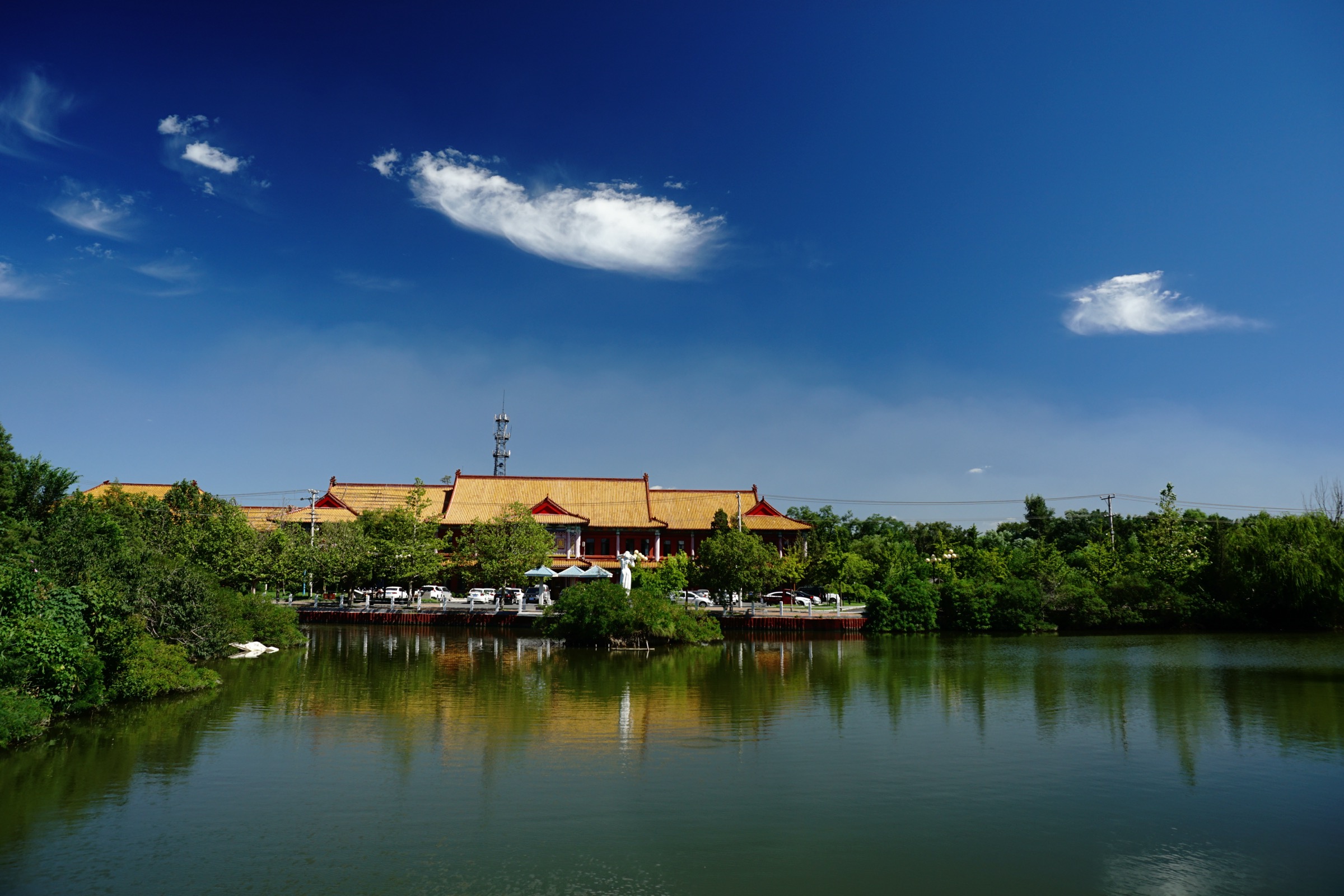
Regional overview
The Qian Shan / Liaodong uplands region is a better-documented walking area than the south Changbai and Laoyeling subregions of the wider Changbai / Manchurian Mountains family. Its catalogue character is granite stairways, temple ridges, exposed scenic paths, forested gorges, and historically important mountain-city routes. The five entries below balance two Qian Shan routes with three wider Liaodong uplands classics.
Summary table
| # | Hike | Route type | Distance | Approx. gain | Max elevation | Difficulty | Verification |
|---|---|---|---|---|---|---|---|
| 1 | Qian Shan Xianrentai high-point route | Scenic-area loop / out-and-back | ~8–12 km | ~600–800 m | ~708 m | Moderate–hard | Partially verified; stats approximate |
| 2 | Qian Shan Wufoding / Tian Shang Tian ridge | Temple-ridge loop / out-and-back | ~6–10 km | ~400–600 m | ~554 m | Moderate | Partially verified; stats approximate |
| 3 | Fenghuang Mountain loop | Exposed scenic mountain loop | ~14.0 km | ~1,237 m | ~768 m (Jianyan peak reported at 836 m) | Hard | Best-verified in the set — AllTrails + OSM |
| 4 | Bingyu Valley gorge walk | Gorge / river scenic walk | ~6–12 km | Modest; unresolved | Unresolved | Easy–moderate | Partially verified; stats approximate |
| 5 | Wunu Mountain City summit / fortress circuit | Stair-and-fortress circuit | ~4–7 km | ~400–550 m | ~821 m | Moderate | Peak and heritage status verified; stats approximate |
Before you go
Access
The two Qian Shan routes share the Qian Shan Scenic Area, about 17 km south-east of Anshan city. Fenghuang Mountain is reached from Fengcheng / Dandong, Bingyu Valley from Zhuanghe / Dalian, and Wunu Mountain City from Huanren / Benxi. All five sit inside managed scenic areas — check the current opening rules and any ticket / entry-time restrictions before travel.
Standard kit
- Hiking shoes or light boots, water, rain shell, and a warm layer outside high summer.
- Traction (spikes or grippy soles) for icy stone steps in winter.
- Gloves are useful on Fenghuang Mountain for the metal railings and rock passages.
- Sun protection and extra water for the exposed granite stairways in summer.
Common hazards
Steep stone steps, narrow granite passages, wet or icy rock, and crowds are common across the scenic-area routes. Fenghuang Mountain adds real exposure on ladders, railings, and rock passages. Bingyu Valley depends partly on boat links inside the scenic system, which can be affected by weather. Wunu Mountain City is a stair-and-fortress day where the descent stairs are the crux in icy conditions.
1. Qian Shan Xianrentai high-point route
Snapshot
Itinerary
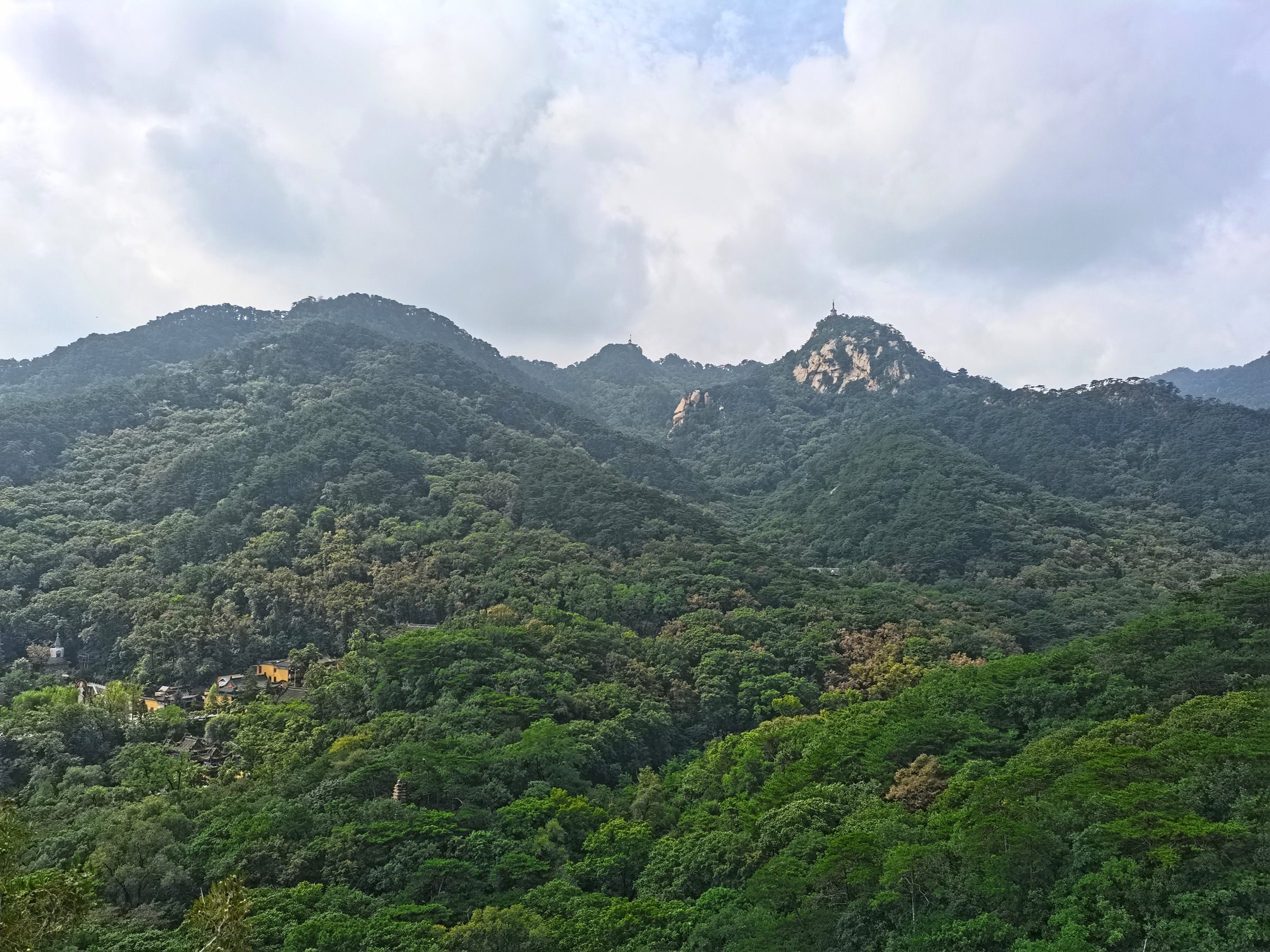
Climb the maintained Qian Shan path network toward Xianrentai, the highest point of the scenic area, and return by the same path or a permitted loop. The route follows the granite stairways typical of the range.
Why it is essential
Xianrentai is the high-point route of Qian Shan and represents the region’s granite summit landscape in a single day.
Hazards and notes
- Stone steps, steep granite paths, wet rock, winter ice, and crowds in peak season.
- Confirm the current scenic-area opening hours and ticketing before travel.
GPX / KML links
| Source | URL | Format | Notes |
|---|---|---|---|
| OSM Qian Shan Scenic Area | openstreetmap.org | OSM way | ODbL; attribution required |
| Archived Anshan Municipal Government — Qian Shan | web.archive.org | Archived official page | Access context only |
Further reading
2. Qian Shan Wufoding / Tian Shang Tian ridge
Snapshot
Itinerary
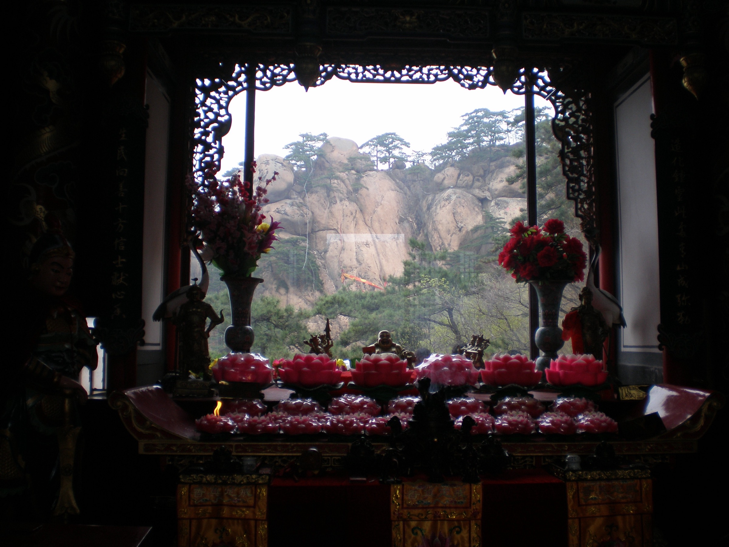
Link the temple approach paths, the Tian Shang Tian granite passages, and the Wufoding / Five Buddha Summit viewpoint area using the open scenic-area paths. This is the classic temple-and-granite Qian Shan day, distinct from the Xianrentai high-point route.
Why it is essential
It captures the temple-ridge character of Qian Shan — Buddhist and Daoist history in a granite landscape — without committing to the higher Xianrentai objective.
Hazards and notes
- Steep stone steps, narrow granite passages, wet rock, and crowds.
- Ice and snow can close or seriously slow the temple-ridge stairs in winter.
GPX / KML links
| Source | URL | Format | Notes |
|---|---|---|---|
| OSM Qian Shan Scenic Area | openstreetmap.org | OSM way | ODbL; attribution required |
Further reading
3. Fenghuang Mountain loop
Snapshot
Itinerary
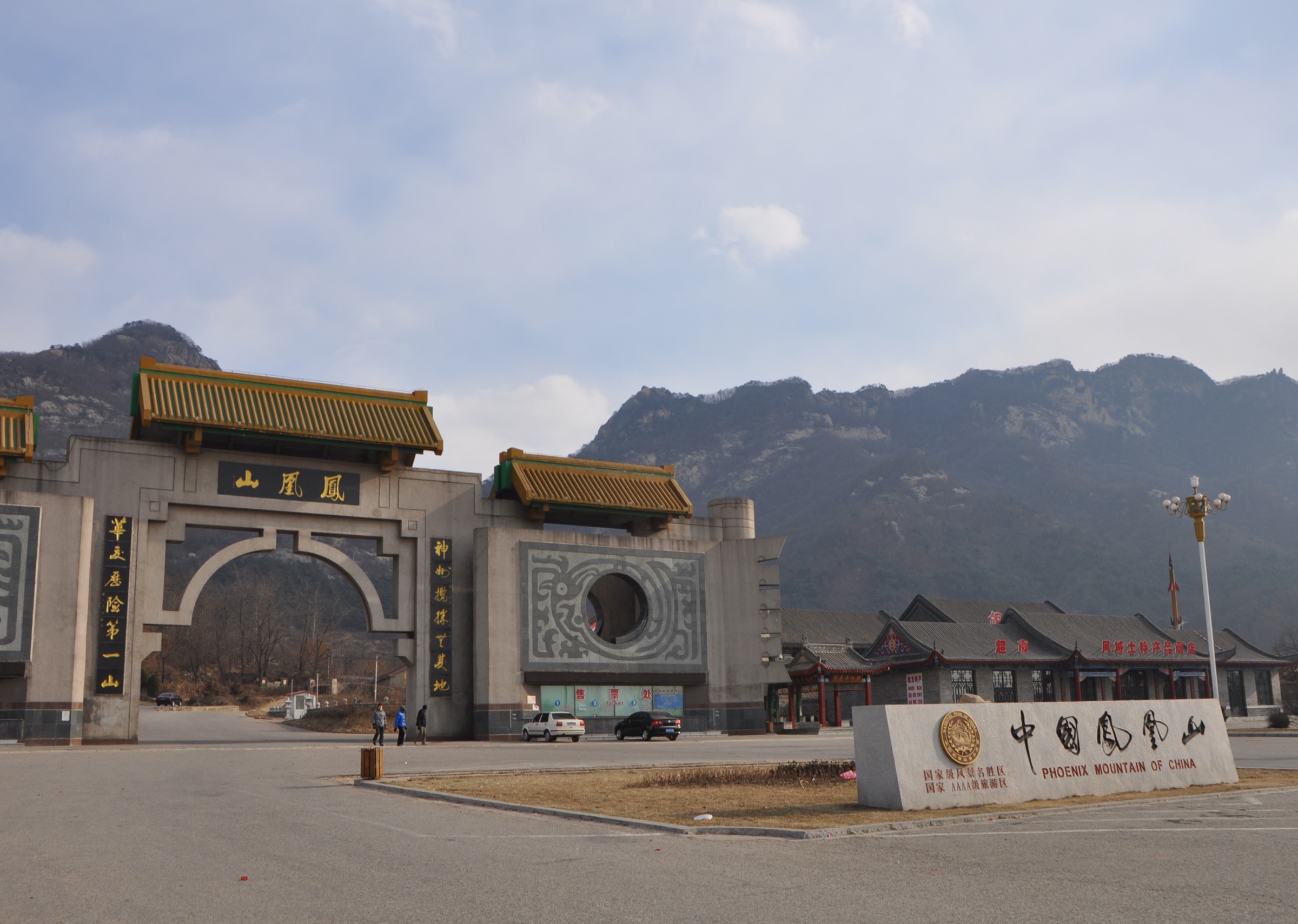
Follow the Fenghuang Mountain scenic loop through steep granite paths, viewpoints, and narrow passages, using the current open route inside the scenic area. This is the best-verified route in the set, with an AllTrails record plus an OSM peak node.
Why it is essential
Fenghuang Mountain is one of Liaoning’s classic exposed mountain walks and gives the region a harder ridge-style entry alongside the tamer Qian Shan and Bingyu records.
Hazards and notes
- Exposure, steep ladders and steps, narrow rock passages, and metal railings.
- Wet or icy granite is unforgiving — do not attempt the exposed sections in poor weather.
GPX / KML links
| Source | URL | Format | Notes |
|---|---|---|---|
| AllTrails: Fenghuang Mountain | alltrails.com | Third-party route page | Secondary geometry / stat comparison only |
| OSM Fenghuang Mountain peak | openstreetmap.org | OSM node | ODbL; attribution required |
Further reading
4. Bingyu Valley gorge walk

Snapshot
Itinerary
Walk the open gorge and river-path sections of Bingyu Valley, using boat links only where the scenic-area system requires them. The route runs beside a barrier lake and through a karst-style canyon landscape uncommon in the region.
Why it is essential
It adds a canyon / river-landscape day to the Liaodong uplands selection, balancing the granite stairways of Qian Shan and Fenghuang.
Hazards and notes
- Wet stone, water-edge paths, and boat-operation constraints inside the scenic area.
- Crowds and queue times at bottlenecks in peak season.
GPX / KML links
| Source | URL | Format | Notes |
|---|---|---|---|
| OSM Bingyu Valley | openstreetmap.org | OSM node | ODbL; attribution required |
Further reading
5. Wunu Mountain City summit / fortress circuit
Snapshot
Itinerary
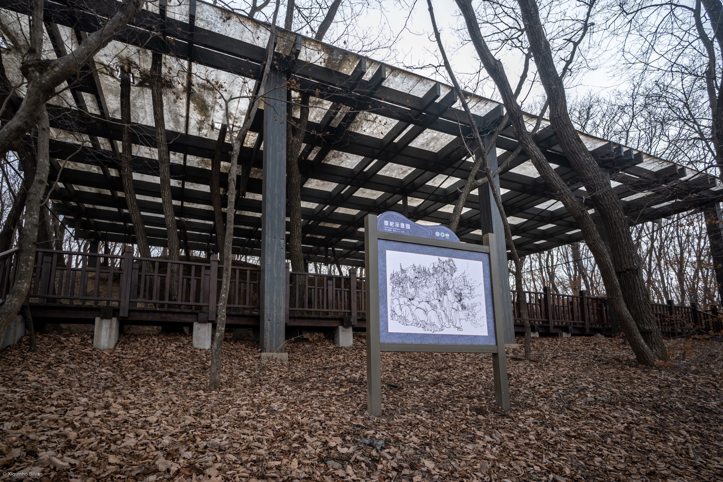
Climb the scenic-area stair path to the Wunu Mountain plateau and its Koguryo-era mountain-city remains, tour the fortress viewpoints and historic features, and descend by the open return route. The site is part of the UNESCO-listed Capital Cities and Tombs of the Ancient Koguryo Kingdom.
Why it is essential
It combines Liaodong upland scenery with a UNESCO-listed mountain-city landscape — a distinctive record inside a catalogue otherwise dominated by pure landscape days.
Hazards and notes
- Long stairs and exposed viewpoints; heat in summer and ice in winter.
- Confirm the current opening times and any heritage-site rules before travel.
GPX / KML links
| Source | URL | Format | Notes |
|---|---|---|---|
| OSM Wunu Mountain peak | openstreetmap.org | OSM node | ODbL; attribution required |
| UNESCO — Capital Cities and Tombs of the Ancient Koguryo Kingdom | whc.unesco.org | Heritage listing | Context only |
Further reading
Verification notes
- Fenghuang Mountain (entry 3) is the best-verified record in the set: an AllTrails route page plus an OSM peak node give quantitative distance, gain, and maximum elevation. All other entries carry approximate stats that need later map verification from a legal topographic source.
- Peak elevations for Qian Shan Xianrentai (~708 m), Wufoding (~554 m), Fenghuang Jianyan peak (~836 m), and Wunu Mountain (~821 m) come from secondary sources; the scenic-area walked lines and their standalone gain figures remain approximate.
- The Qian Shan images supplied in the source draft (Qian Shan 5 at 1600×1200 and Qianshan National Park 2 at 600×450) fall below the site’s minimum source-resolution floor and were replaced with higher-resolution Commons images of the same range (千山.jpg, CC0, 4608×3456; Qianshan Maitreya Buddha, CC BY-SA 4.0, 2816×2112). The panoramio cover panorama (CC BY-SA 3.0, 6000×4000) was chosen for the same reason.
- See also the Changbai / Manchurian Mountains entry for the North Slope Tianchi and Underground Forest routes on the main massif, and the West Slope, Jilin entry for the western scenic-area routes.
Further reading
| Source | URL |
|---|---|
| Qian Shan Scenic Area (zh.wikipedia) | zh.wikipedia.org |
| Wikipedia — Phoenix Mountain (Liaoning) | en.wikipedia.org |
| Wikipedia — Bingyu Valley | en.wikipedia.org |
| Wikipedia — Wunü Mountain | en.wikipedia.org |
| UNESCO — Capital Cities and Tombs of the Ancient Koguryo Kingdom | whc.unesco.org |
| Storm — Changbai / Manchurian Mountains | storm.ski article |
| Storm — Changbai Mountains, West Slope (Jilin) | storm.ski article |