Regional overview
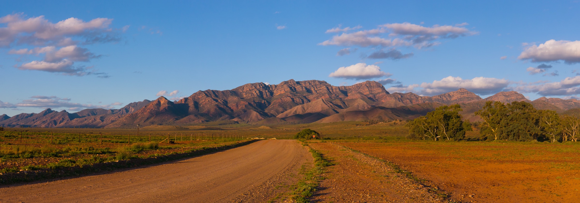
The Mount Remarkable / Southern Flinders sub-region marks the southern gateway to the Flinders Ranges, where the north–south spine of quartzite and shale ridges rises abruptly from the wheat-and-grazing plains east of Spencer Gulf. The centrepiece is Mount Remarkable National Park, gazetted in 1972 and now covering roughly 16,000 hectares across three hubs — the Melrose foothills at the southern end of the range, the Mambray Creek valley on the western escarpment above the Gulf, and the Alligator Gorge / Wilmington plateau at the northern end. Beyond the park boundary, Mount Brown Conservation Park south of Quorn shares the same geological province and is treated here as the northern extension of the sub-region.
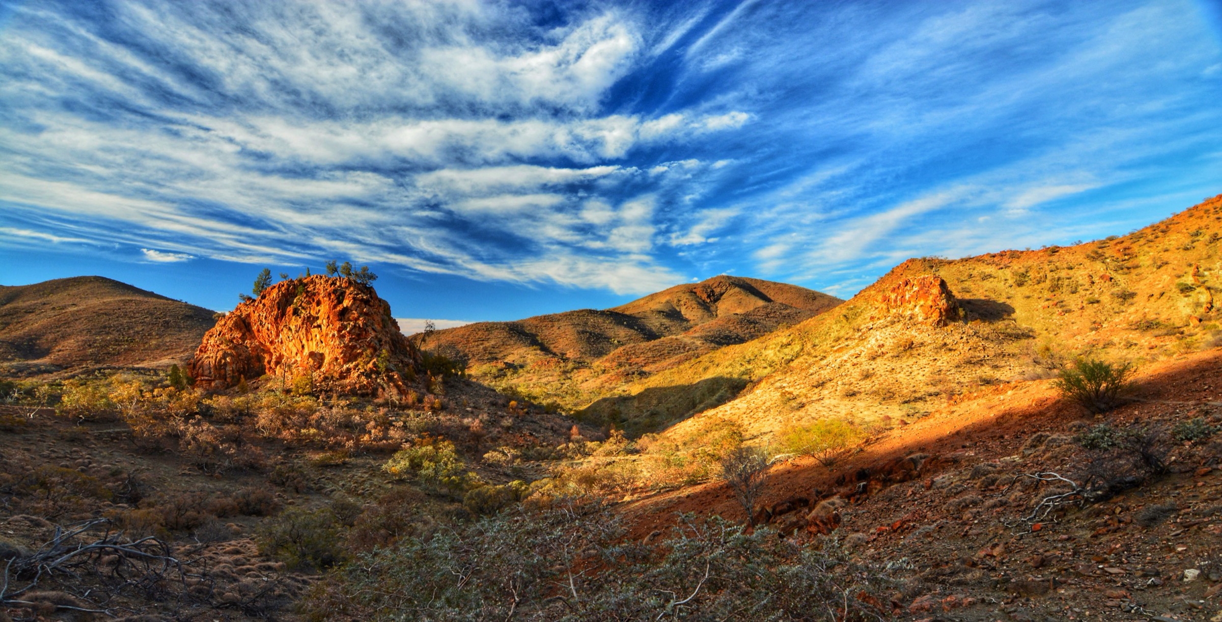
The walking character is dominated by dry sclerophyll forest — Callitris pines, sugar gums, river red gums along the creeklines — narrow slot gorges cut into red quartzite, long dividing ridges that yield sweeping Spencer Gulf and Willochra Plain views, and a small number of prominent summits at around 960 m. Both Mount Remarkable (960 m) and Mount Brown (964 m) rank among the highest peaks of the Southern Flinders. Water is scarce: creeks flow after rain and hold pools in spring, but summer walking should assume there is no drinking water on route.
The reliable season for day walking runs from about April to October. Summer (November to March) brings extreme heat, high fire danger and closures of overnight tramping — the South Australian Fire Danger Season for the Flinders district usually runs 1 November to 30 April, during which hike-in campsites are closed. Winter days are mild but frost is possible in the higher gorges. In February 2025 the Wilmington bushfire burned about 25 per cent of Mount Remarkable National Park; most trails reopened from 17 April 2025, but sections of Alligator Gorge including The Terraces remain closed at time of writing and hikers should check the parks.sa.gov.au closures page before departure. Elapid snakes (including eastern brown and red-bellied black snakes) are common throughout the sub-region from spring to autumn.
Access is by road: Melrose sits on the Adelaide–Port Augusta corridor about 270 km north of Adelaide; Mambray Creek is a signposted turn-off from the Augusta Highway; Alligator Gorge is reached from Wilmington via a short unsealed spur; and the Mount Brown trailhead at Waukarie Falls lies about 14 km south of Quorn on Richman Valley Road. There is no public transport to any trailhead. Cell coverage is patchy across all four hubs and absent on most of the summit ridges.
Selection rationale
These five hikes were chosen to give a balanced picture of the Southern Flinders: the eponymous summit above Melrose for the flagship Southern Flinders ascent (Mount Remarkable Summit Loop); the classic slot-gorge walk at the northern end of the park (Alligator Gorge Ring Route); the long circuit that pairs the deepest gorge in the park with the panoramic Battery Ridge (Hidden Gorge Hike from Mambray Creek); a mid-length lookout walk that samples the Mambray Creek valley and its sugar-gum ridges (Sugar Gum Lookout Hike); and the second-highest summit in the Southern Flinders as a northern counterpart to Mount Remarkable (Mount Brown Summit Hike from Waukarie Falls). The Melrose Nature Hike, Mambray Creek Walk and Baroota Hike were considered but excluded to avoid overlap with the summit and gorge selections; Mount Cavern is closed as a formal trail and is not included.
Summary table
| # | Hike | Country | Route type | Distance | Gain | Max elevation | Difficulty |
|---|---|---|---|---|---|---|---|
| 1 | Mount Remarkable Summit Loop from Melrose | Australia | Loop | ~14 km | ~915 m | 960 m | Grade 4 / Hard |
| 2 | Alligator Gorge Ring Route | Australia | Loop | 8.8–9.4 km | ~300 m | ~530 m | Grade 3 / Moderate |
| 3 | Hidden Gorge Hike from Mambray Creek | Australia | Loop | ~18 km | ~640 m | ~590 m | Grade 3–4 / Hard |
| 4 | Sugar Gum Lookout Hike from Mambray Creek | Australia | Out-and-back | ~8 km | ~330 m | ~500 m | Grade 3 / Moderate |
| 5 | Mount Brown Summit Hike from Waukarie Falls | Australia | Loop (or out-and-back) | ~13–15 km | ~560 m | 964 m | Grade 4 / Hard |
1. Mount Remarkable Summit Loop from Melrose
Snapshot
Itinerary
The trailhead sits at the end of Joes Road on the northern edge of Melrose, at the park entrance shared with the Melrose Nature Hike and the mountain-bike network. The loop is typically walked anticlockwise, taking the South Mount Remarkable Hiking Trail first. From a signposted junction the South track climbs the eastern flank of the ridge through native pine and sugar gum, gaining height steadily over about 6 km with switchbacks on the steeper upper section. The path is rocky throughout and there are occasional sugar-gum and sheoak stands giving intermittent shade.
The trail crests the summit ridge and follows it north-west to the survey trig at 960 m, the highest point in the Southern Flinders. The summit itself is timbered and the outlook is limited, but viewpoints on the ridge approach and along the descent open onto the Willochra Plain to the east, the Horseshoe Range and Cathedral Rock to the north, and Spencer Gulf beyond the Black Range to the west. From the summit the North Mount Remarkable Hiking Trail descends the western side of the ridge back to the Melrose trailhead, closing the loop.
Why it is essential
Mount Remarkable is the eponymous peak of both the park and the sub-region, and the summit loop is the flagship Southern Flinders day-walk. It is the only marked summit trail in the sub-region that starts directly from a town centre — Melrose being South Australia’s oldest surviving town, founded in 1853 — and gives the classic sustained ascent from foothill grazing land through native pine forest to a Southern Flinders trig.
Equipment
- Sturdy hiking boots with ankle support (rocky underfoot throughout)
- Weatherproof shell and warm layer
- Sun protection (broad-brimmed hat, sunscreen)
- 2–3 L water minimum — no reliable water on route
- Food for a long day
- Map and GPS
- Trekking poles recommended
- Snake gaiters useful in spring and summer
Hazards and notes
- Heat exposure is the primary summer risk; the loop should not be attempted between mid-morning and late afternoon in hot weather.
- Rocky and loose underfoot; ankle injuries are the common cause of rescue.
- Elapid snakes (eastern brown, red-bellied black) are active from September to April.
- Overnight hikes in the park are not permitted during the Fire Danger Season (1 November to 30 April) and hike-in campsites are closed.
- No cell coverage on the upper mountain.
- Check parks.sa.gov.au for post-fire trail status and total fire ban days before departure.
Photos
| Image | Source | Author | Licence |
|---|---|---|---|
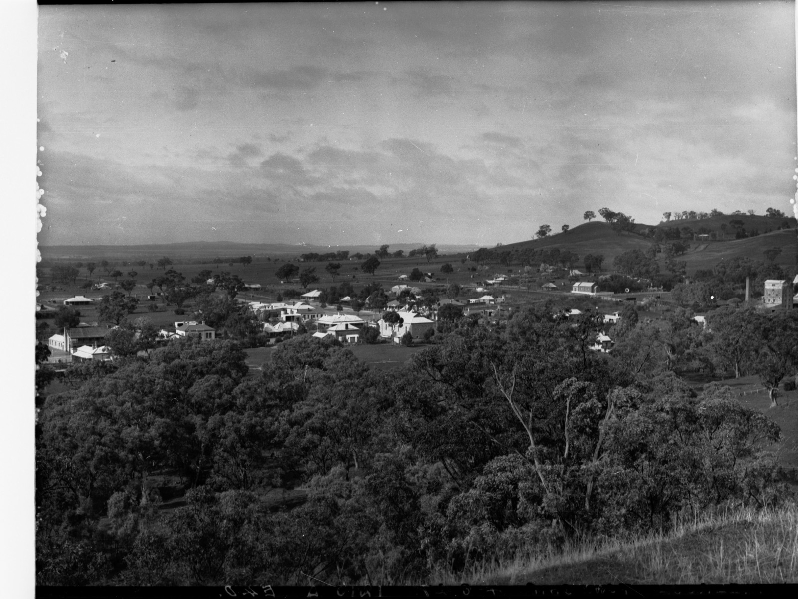
| Mount Remarkable at Melrose | commons.wikimedia.org | State Government Photographer | CC0 |
| Melrose Nature Hike 20230211 | commons.wikimedia.org | DXR | CC BY-SA 4.0 |
| Mt Remarkable summit (360° panorama) | commons.wikimedia.org | Diceman | CC BY-SA 3.0 |
GPX / route file
| Source | URL | Format | Notes |
|---|---|---|---|
| Parks SA — Mount Remarkable National Park | parks.sa.gov.au | Source page | Official park page; trail brochure PDF linked from park page |
| Parks SA — Summit Hike brochure (PDF) | vk5parks.com mirror | PDF map | Reproduces the parks.sa.gov.au brochure |
| Walking SA — Mount Remarkable Summit Hike | walkingsa.org.au | Source page | Distance and grade cross-check |
| Trailhiking Australia — Mount Remarkable Summit Hike | trailhiking.com.au | Source page | GPX available on registered user download |
Sources
- Parks SA — Mount Remarkable National Park
- Walking SA — Mount Remarkable Summit Hike
- Trailhiking Australia — Mount Remarkable Summit Hike
- Environment SA — After the fire: Welcome back to Mount Remarkable National Park (April 2025)
Verification status: Route verified from parks.sa.gov.au and Walking SA; media verified from Wikimedia Commons.
2. Alligator Gorge Ring Route
Snapshot
Itinerary
From the Alligator Gorge car park above Wilmington, the ring route descends the stone steps into the gorge and turns south-west along the creekbed. Within a few hundred metres the walls close in to form The Narrows, a 20-metre-deep slot-gorge cut into red-purple quartzite with a rippled water-polished floor. The route continues down-gorge along the creek, rock-hopping over pebble and boulder benches, then climbs left out of the gorge and traverses the tableland above the western rim. It swings south and drops back into the gorge system at Kingfisher Flat, following the creek back upstream past The Terraces — a series of stepped rock ledges through which water trickles after rain — and returning to the car park.
Sources report the loop distance variously at 8.8 km, 9 km and 10.2 km depending on the branch taken and where the walk is closed at either end. The Ring Route can be walked either clockwise or anticlockwise; the parks.sa.gov.au brochure recommends anticlockwise. Following the February 2025 Wilmington bushfire, the northern section of the gorge including The Terraces was still closed at the time of writing; the walk should currently be treated as a shortened out-and-back through The Narrows unless the parks.sa.gov.au closures page confirms full reopening.
Why it is essential
Alligator Gorge is the archetypal slot-gorge walk of the Southern Flinders and one of the most photographed sections of the entire Flinders Ranges. The Narrows — a walker-scale chasm of red quartzite that can be touched on both sides at once — has no direct equivalent elsewhere in the sub-region. The Ring Route packs the gorge, the Terraces, a plateau traverse and a return riffle-and-pool creek walk into a manageable half-day loop.
Equipment
- Sturdy boots with good grip (the gorge floor is uneven and slippery when wet)
- Weatherproof shell
- Sun protection
- 2 L water
- Food
- Map or GPS
- Camera for the gorge
- Snake gaiters useful in warm months
Hazards and notes
- Flash flood risk in the gorge after heavy rain — the walk should be avoided if thunderstorms are forecast anywhere in the upper catchment.
- The gorge floor is slippery when wet and requires rock-scrambling in several sections.
- Snake risk in warm weather, particularly along the creek pools.
- Sections of the northern gorge including The Terraces remain closed following the 2025 Wilmington fire; check parks.sa.gov.au closures page before travel.
- Overnight hiking is closed 1 November to 30 April (Fire Danger Season).
- No mobile coverage in the gorge itself.
Photos
| Image | Source | Author | Licence |
|---|---|---|---|
| AlligatorGorge2 (gorge walls) | commons.wikimedia.org | WilmingtonSouthAustralia | Public domain |
| Rock Walls Alligator Gorge 04 | commons.wikimedia.org | Briggsy66 | CC BY-SA 4.0 |
| Alligator Gorge (The Narrows) 01 | commons.wikimedia.org | Briggsy66 | CC BY-SA 4.0 |
| Alligator Creek (GN03621) | commons.wikimedia.org | State Government Photographer | CC0 |
GPX / route file
| Source | URL | Format | Notes |
|---|---|---|---|
| Parks SA — Mount Remarkable National Park | parks.sa.gov.au | Source page | Official trail info and current closures |
| Parks SA — updated park map with closures (PDF) | cdn.environment.sa.gov.au | PDF map | 2025 closures overlay |
| South Australian Trails — Alligator Gorge Ring Route | southaustraliantrails.com | Source page | Route description; no GPX published |
| Walking SA — Alligator Gorge Ring Route | walkingsa.org.au | Source page | Distance and grade cross-check |
Sources
- Parks SA — Mount Remarkable National Park
- Parks SA — Part closure of Mount Remarkable National Park
- South Australian Trails — Alligator Gorge Ring Route Hike
- Walking SA — Alligator Gorge Ring Route Hike
- Environment SA — After the fire (April 2025)
Verification status: Route verified; current closures partially verified — Alligator Gorge northern section (Terraces) still closed at time of writing; confirm parks.sa.gov.au closures page before travel.
3. Hidden Gorge Hike from Mambray Creek
Snapshot
Itinerary
The Hidden Gorge circuit begins at the Mambray Creek Day Visitor Area, reached from the Augusta Highway via a signposted turn-off north of Port Germein. The loop is usually walked clockwise. The route heads up the Mambray Creek valley through river red gum and native pine, following the creek bed and periodic terrace tracks past a series of shaded rock pools that give the walk much of its summer character. It joins the marked trail into Hidden Gorge itself — a narrow, steep-sided chasm of red quartzite that is walked upstream along the creek floor, with some rock-scrambling around dry waterfalls and boulder chokes.
Above the gorge the route climbs onto Battery Ridge, gaining the panoramic western spur of the Alligator Range. The ridge yields sweeping views south down Spencer Gulf and inland across the wooded park interior. From the high point the trail descends the ridgeline back towards Mambray Creek, joining the Kingfisher Flat and Mambray Creek Valley tracks for the return to the trailhead. Parties spreading the walk over two days can stay at Hidden Campground (7 km from the Mambray Creek Day Visitor Area) during the open season; overnight hiking is prohibited during the Fire Danger Season.
Why it is essential
The Hidden Gorge Hike is the classic long day-walk of Mount Remarkable National Park: the only circuit in the sub-region that combines a full traverse of a slot-gorge with a genuine panoramic ridge. Battery Ridge gives the best foot-level Spencer Gulf view in the park, and the pairing of gorge floor and open ridgeline covers most of the terrain types of the Southern Flinders in a single day.
Equipment
- Sturdy boots with ankle support
- Weatherproof shell and warm layer
- Sun protection
- 3 L water — reliable water only in Mambray Creek pools and only after rain
- Food for a long day
- Map and GPS
- Headtorch for the descent in shortened winter daylight
- Snake gaiters recommended in warm months
- Trekking poles useful on Battery Ridge
Hazards and notes
- Long day — start early, and turn back rather than push through in extreme heat.
- Flash-flood risk in Hidden Gorge after rain in the upper catchment.
- Rock-scrambling around dry waterfalls in the gorge — slippery when wet.
- Elapid snakes (eastern brown, red-bellied black) active along the creek from September to April.
- Overnight camping at Hidden Campground is closed during the Fire Danger Season.
- Remote by Southern Flinders standards — no cell coverage on much of the route.
- Check parks.sa.gov.au for the current post-fire status of the Hidden Gorge and Battery Ridge sections.
Photos
| Image | Source | Author | Licence |
|---|---|---|---|
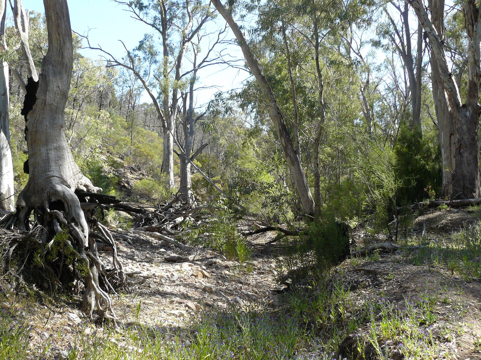
| Mambray Creek (MamCk1) | commons.wikimedia.org | Macropod | CC BY-SA 4.0 |
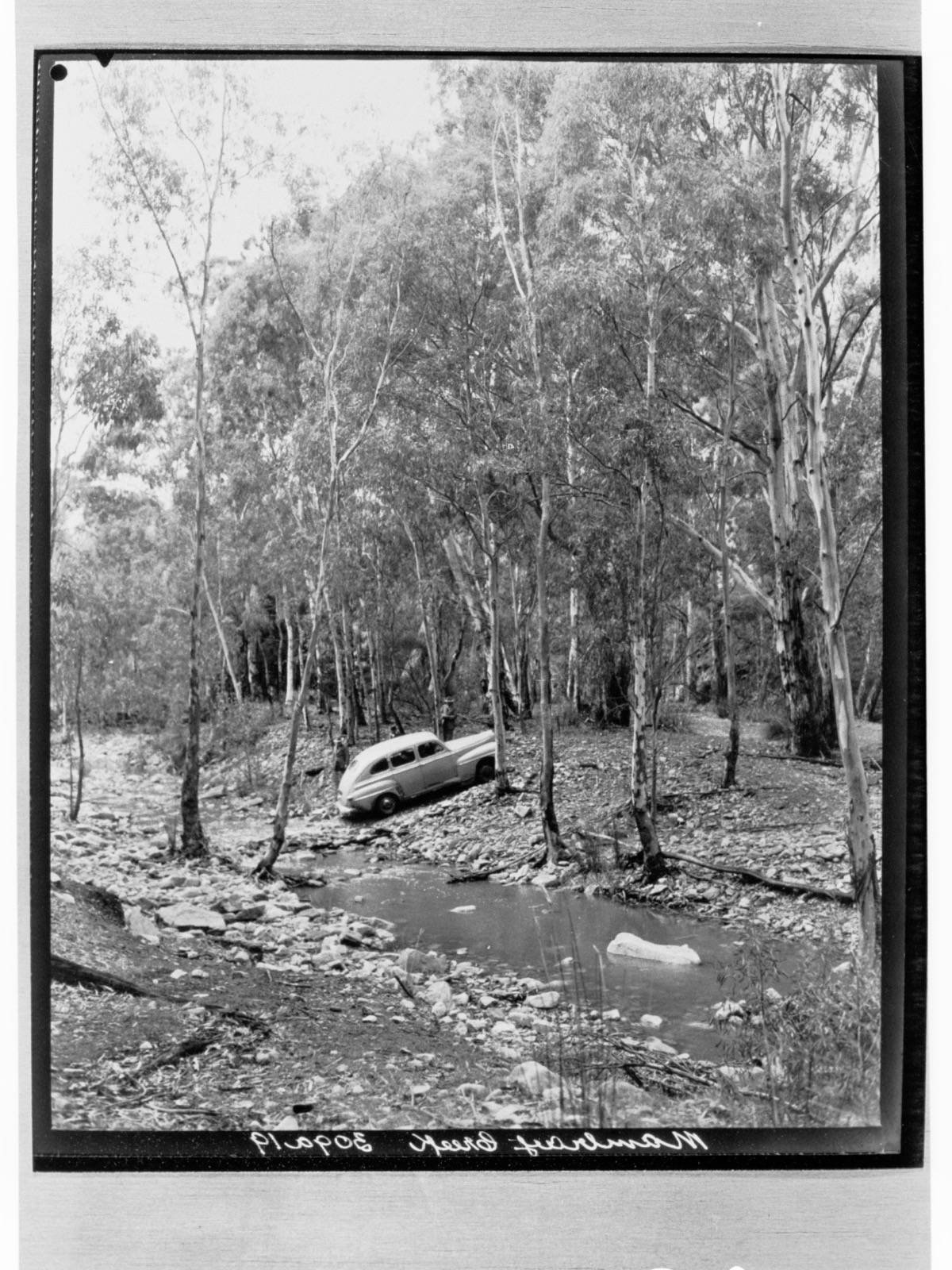
| Mambray Creek (GN14651) | commons.wikimedia.org | State Government Photographer | CC0 |
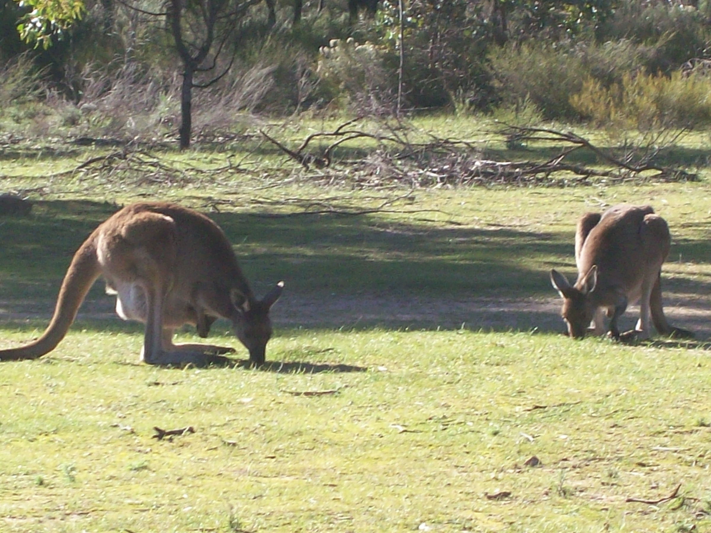
| Euro / wallaroo at Mambray Creek | commons.wikimedia.org | David Wesolowski | CC BY 2.0 |
GPX / route file
| Source | URL | Format | Notes |
|---|---|---|---|
| Parks SA — Mount Remarkable National Park | parks.sa.gov.au | Source page | Official park page; brochure PDFs |
| Walking SA — Hidden Gorge Hike | walkingsa.org.au | Source page | Distance and grade cross-check |
| Trailhiking Australia — Hidden Gorge Circuit | trailhiking.com.au | Source page | GPX available on registered user download |
| Hiiker — Hidden Gorge / Mambray Creek Track | hiiker.app | Source page | GPS track available |
Sources
- Parks SA — Mount Remarkable National Park
- Walking SA — Hidden Gorge Hike, Mambray Creek
- Trailhiking Australia — Hidden Gorge Circuit Hike
- Environment SA — After the fire (April 2025)
Verification status: Route verified; distance figures vary across sources — parks.sa.gov.au and Walking SA cross-checked.
4. Sugar Gum Lookout Hike from Mambray Creek
Snapshot
Itinerary
From the Mambray Creek Day Visitor Area, the route heads upstream along the Mambray Creek Valley Track through native pine and red gum, following the creek and its shaded pools for the first stretch. It then leaves the valley floor and climbs the southern slope to reach the ridge, where a signposted spur climbs to Sugar Gum Lookout at approximately 500 m. The lookout stands among a pure stand of sugar gums (Eucalyptus cladocalyx) — a species largely confined to the Southern Flinders, Kangaroo Island and the Eyre Peninsula — and gives an open view west to Spencer Gulf and south along the escarpment. The return follows the same valley track, giving two chances at the creek pools.
Why it is essential
The Sugar Gum Lookout Hike is the standard moderate day-walk out of Mambray Creek and the best way to sample both the creek valley and the sugar-gum ridge without committing to the full Hidden Gorge day. The lookout’s namesake species is a Southern Flinders and Eyre endemic — an ecological signature of the region — and the walk gives one of the most efficient sub-500 m ridge views in the park.
Equipment
- Sturdy hiking shoes or boots
- Weatherproof shell
- Sun protection
- 1.5–2 L water
- Food
- Map or GPS
- Snake gaiters useful in warm months
Hazards and notes
- Heat exposure on the ridge and climb; avoid midday walks in summer.
- Elapid snakes along the creek in warmer months.
- Rocky and loose in places on the climb.
- Water in Mambray Creek is seasonal and should not be relied on as a drinking source.
- Overnight hikes closed 1 November to 30 April.
Photos
| Image | Source | Author | Licence |
|---|---|---|---|
| Mambray Creek (GN14651) | commons.wikimedia.org | State Government Photographer | CC0 |
| Mambray Creek (GN14657) | commons.wikimedia.org | State Government Photographer | CC0 |
| Willochra Plain from Spring Creek Mine Rd | commons.wikimedia.org | Donama | CC BY-SA 4.0 |
GPX / route file
| Source | URL | Format | Notes |
|---|---|---|---|
| Parks SA — Mount Remarkable National Park | parks.sa.gov.au | Source page | Official park page |
| Walking SA — Sugar Gum Lookout Hike | walkingsa.org.au | Source page | Distance and grade cross-check |
| Trailhiking Australia — Sugar Gum Lookout Hike | trailhiking.com.au | Source page | GPX available on registered user download |
| South Australian Trails — Sugar Gum Lookout Hike | southaustraliantrails.com | Source page | Route description |
Sources
- Walking SA — Sugar Gum Lookout Hike
- South Australian Trails — Sugar Gum Lookout Hike, Mambray Creek
- Trailhiking Australia — Sugar Gum Lookout Hike
- Parks SA — Mount Remarkable National Park
Verification status: Route verified; official park page cross-checked with Walking SA and South Australian Trails.
5. Mount Brown Summit Hike from Waukarie Falls
Snapshot
Itinerary
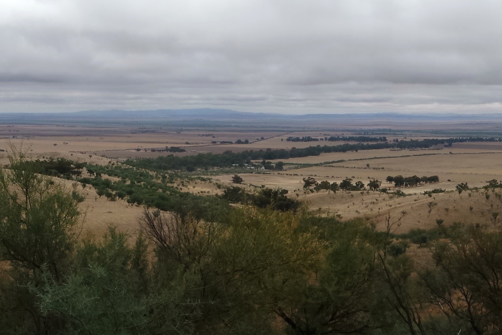
From the Olive Grove car park at the end of Richman Valley Road, the route begins on a fire trail that passes Waukarie Falls (a seasonal drop over red quartzite in the creekbed 100 m from the car park) and follows Waukarie Creek west. At the junction with the Heysen Trail, the summit route turns north and climbs the long southern ridge — a sustained ascent of about 550 m — with the trail marked by the standard Heysen Trail red-and-white poles. The upper ridge gains height in tussock and open eucalypt woodland, with views opening onto Wilpena Pound and the Willochra Plain to the north-east.
The summit at 964 m carries a fire-lookout tower and an interpretive sign commemorating Robert Brown, the naturalist aboard Matthew Flinders’ Investigator (1802). The standard loop descends the northern ridge to close the circuit back at Olive Grove. At the time of writing, the eastern section of the loop between Checkpoint 4 and Olive Grove is closed for public safety, and parties should treat the walk as an out-and-back via the Heysen Trail (about 11.6 km return) unless the parks.sa.gov.au closures page confirms full reopening.
Why it is essential
Mount Brown is the second-highest peak of the Southern Flinders after Mount Remarkable and the northernmost significant summit before the Ikara–Flinders Ranges National Park proper. It is the classic Quorn-side summit walk on the Heysen Trail and gives a very different landscape context to the Melrose end of the range — open eucalypt woodland, drier tussock ridges and the Willochra Plain rather than the wetter sugar-gum foothills of Mount Remarkable. The lookout tower and Robert Brown interpretation add historical and cultural weight.
Equipment
- Sturdy boots with ankle support
- Weatherproof shell and warm layer
- Sun protection (broad-brimmed hat)
- 2.5–3 L water — no reliable water above Waukarie Creek
- Food
- Map and GPS
- Trekking poles recommended for the descent
- Snake gaiters in warm months
- Headtorch for a long summer day if starting late
Hazards and notes
- Heat exposure — the upper ridge has minimal shade.
- Elapid snakes active in warm months, particularly along Waukarie Creek.
- The eastern section of the loop is closed at time of writing; use the Heysen Trail out-and-back until parks.sa.gov.au confirms reopening.
- Overnight camping at the Waukarie Creek / Mt Brown North walk-in site is subject to Fire Danger Season closures.
- No cell coverage on the ridge.
- Total fire ban days on the Flinders district close the park; check cfs.sa.gov.au.
Photos
| Image | Source | Author | Licence |
|---|---|---|---|
| Willochra Plain crop | commons.wikimedia.org | Donama | CC BY-SA 4.0 |
| Willochra Plain from Spring Creek Mine Rd 02 | commons.wikimedia.org | Donama | CC BY-SA 4.0 |
| Mt Remarkable summit path (Panoramio) | commons.wikimedia.org | Panoramio user | CC BY-SA 3.0 |
Photo status: No licence-compatible summit photo of Mount Brown itself found on Wikimedia Commons in this pass; the Willochra Plain image gives the same landscape context seen from the summit lookout.
GPX / route file
| Source | URL | Format | Notes |
|---|---|---|---|
| Parks SA — Mount Brown Conservation Park | parks.sa.gov.au | Source page | Official park page and closures |
| Parks SA — Mount Brown Summit Hike brochure (PDF) | cdn.environment.sa.gov.au | PDF map | Official brochure |
| Walking SA — Mount Brown Summit Hike | walkingsa.org.au | Source page | Distance and grade cross-check |
| Trailhiking Australia — Mount Brown Summit Circuit | trailhiking.com.au | Source page | GPX available on registered user download |
| Friends of the Heysen Trail — Waukarie Creek / Mt Brown North walk-in site | heysentrail.asn.au | Source page | Camp-site info |
Sources
- Parks SA — Mount Brown Conservation Park
- Walking SA — Mount Brown Summit Hike
- Trailhiking Australia — Mount Brown Summit Circuit Hike
- Friends of the Heysen Trail — Waukarie Creek / Mt Brown North walk-in site
Verification status: Route verified; eastern section of loop closed at time of writing — treat as out-and-back via Heysen Trail unless reopening is confirmed.
Region-level sources
| Source | URL |
|---|---|
| Parks SA — Mount Remarkable National Park | parks.sa.gov.au |
| Parks SA — Mount Brown Conservation Park | parks.sa.gov.au |
| Parks SA — closures and alerts | parks.sa.gov.au |
| Environment SA — After the fire: Mount Remarkable (April 2025) | environment.sa.gov.au |
| South Australian Trails | southaustraliantrails.com |
| Walking SA — Mount Remarkable National Park hikes | walkingsa.org.au |
| Country Fire Service SA — total fire bans | cfs.sa.gov.au |
| Friends of the Heysen Trail | heysentrail.asn.au |
Missing data / follow-up work
- Parks SA does not publish a GPX file for any of these trails on the public park pages; GPX tracks are available via Trailhiking Australia, Hiiker and AllTrails but should be checked against the official park brochures before use.
- The current post-fire status of the Alligator Gorge Ring Route needs local confirmation before travel — as of the April 2025 park reopening, the northern gorge including The Terraces was still closed.
- No licence-compatible summit photograph of Mount Brown was found on Wikimedia Commons in this pass.
- Exact elevation-gain figures for the Alligator Gorge Ring Route, Sugar Gum Lookout Hike and Hidden Gorge circuit are approximate, extracted from third-party GPS tracks; parks.sa.gov.au brochures do not publish a total-ascent figure for these walks.
- Total-fire-ban day closures are declared same-day by the Country Fire Service and cannot be predicted more than 24–48 hours in advance.
Further reading
Nearby Flinders Mount Lofty Ranges guides on Storm
- Gammon Ranges / Arkaroola
- Ikara-Flinders / Wilpena Pound
-
Environment SA — 10 things to see and do at Mount Remarkable National Park
- Environment SA — How to spend a day in Mount Remarkable National Park
- Environment SA — Ranger tips: Mount Remarkable National Park
- Wikipedia — Mount Remarkable National Park
- Wikipedia — Mount Remarkable
- Wikipedia — Southern Flinders Ranges