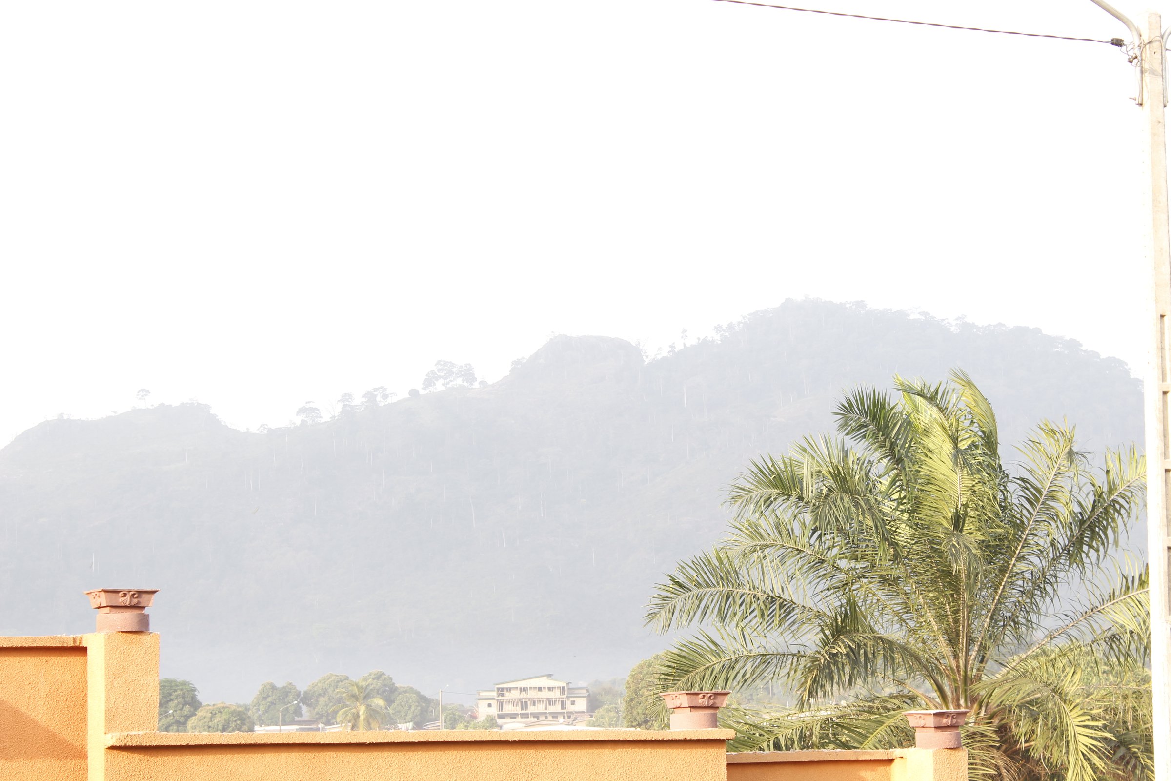
Regional overview
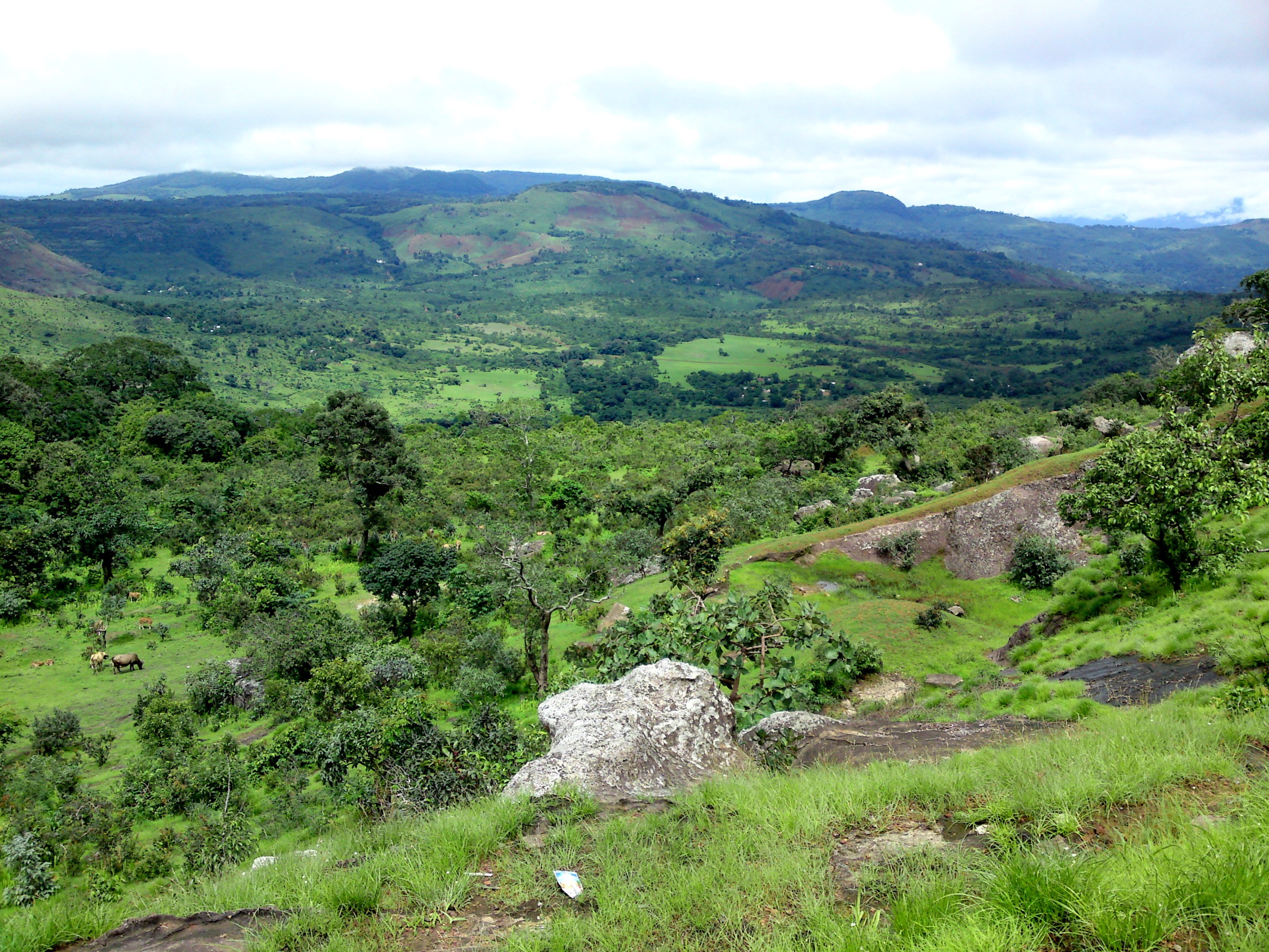
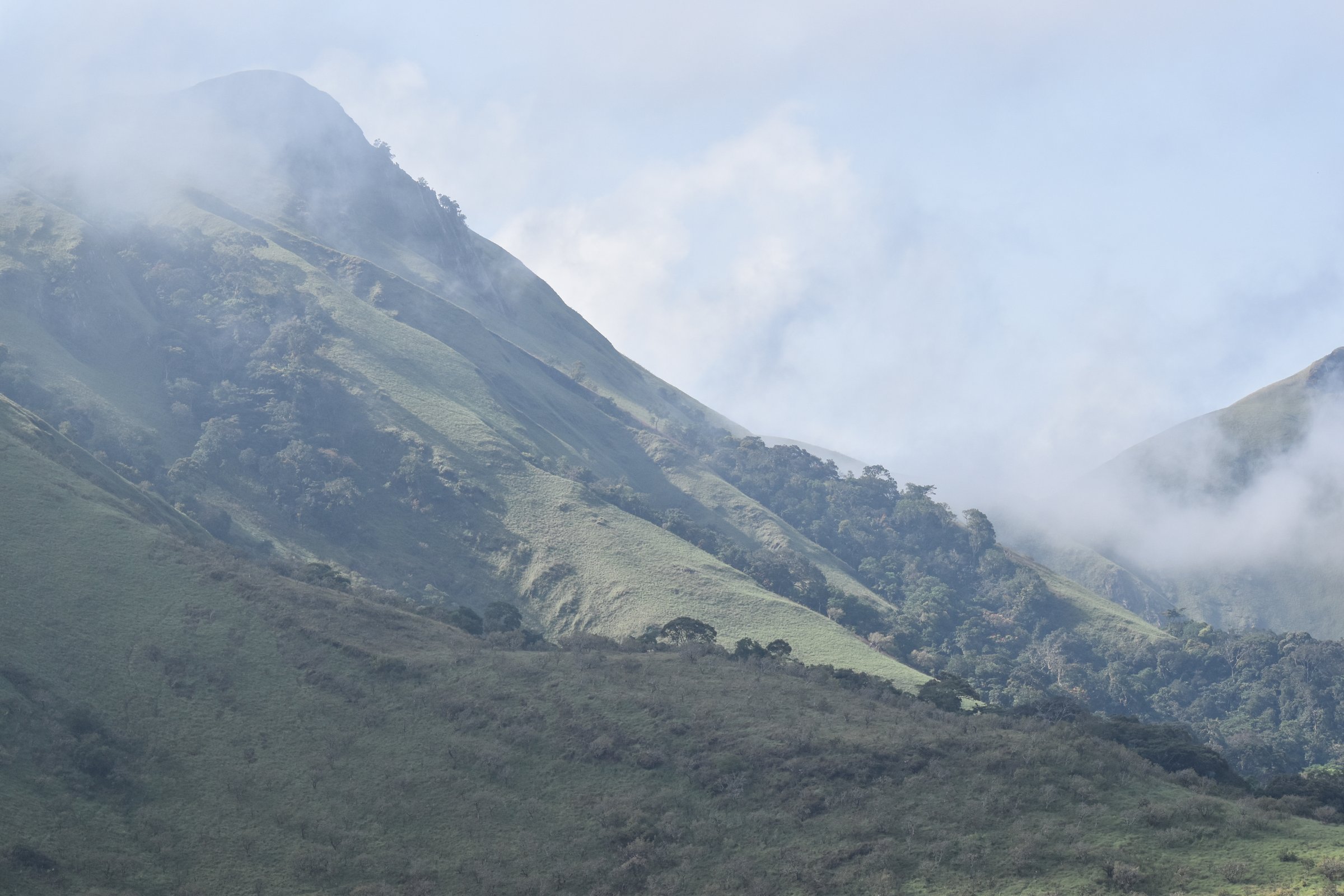
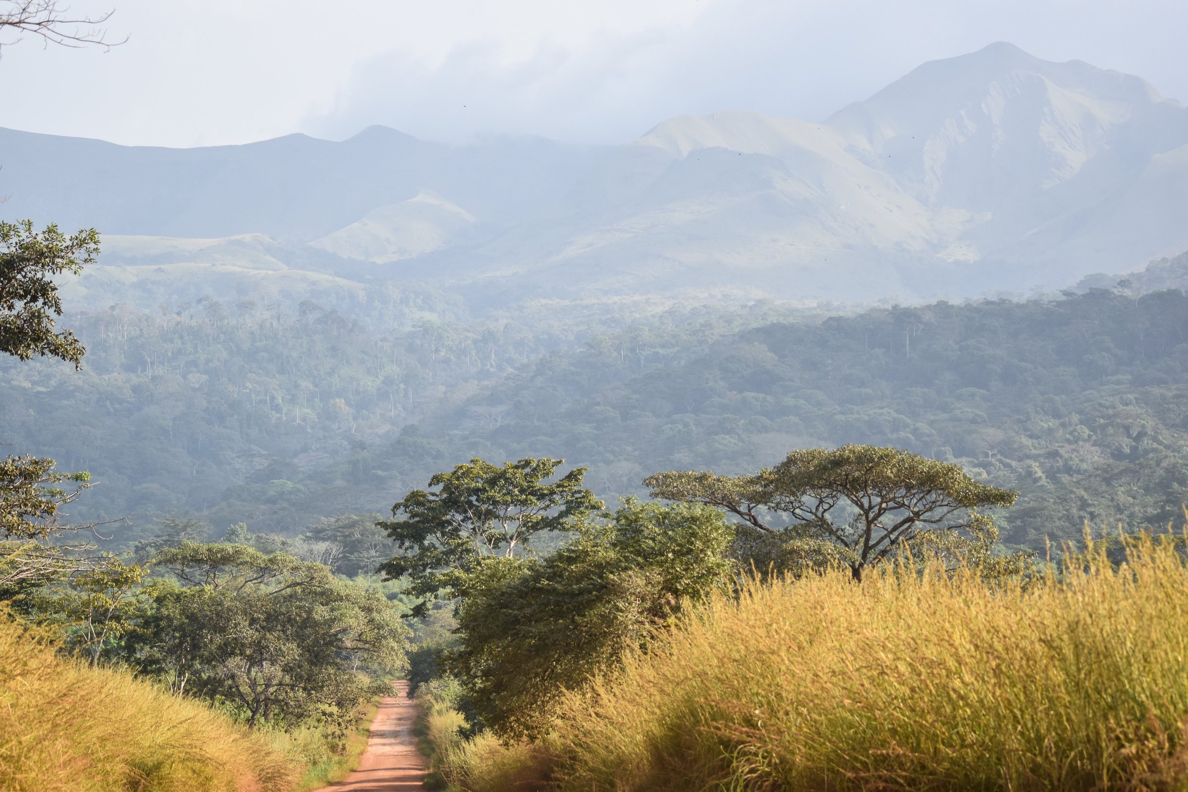
The Guinea Highlands entry covers the discontinuous uplands around south-eastern Guinea, northern Liberia, northern Sierra Leone, and western Côte d’Ivoire, excluding the separately catalogued Fouta Djallon and Loma Mountains entries. The walking character is not a single waymarked trail network: it is a patchwork of rainforest reserves, iron-rich ridges, mined or formerly mined Nimba landscapes, sacred/community mountains, cocoa-and-forest approaches, and remote Liberian highlands.
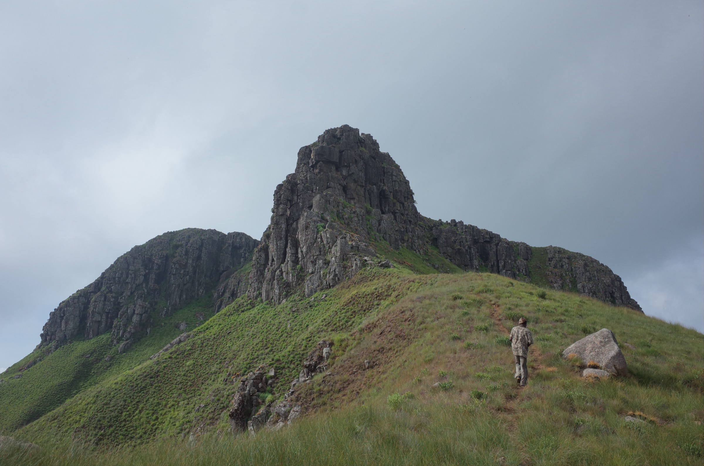
The best-evidenced hiking is on the Liberian side of the Nimba range around Blue Lake and Yekepa, where official Liberia Tourism material confirms guided day hikes in East Nimba Nature Reserve and Wikiloc provides public GPS-source statistics. Côte d’Ivoire’s Man highlands add the most route-ready non-Nimba hike in this pass: La Dent de Man, a recognised local summit loop with a published Wikiloc track. Guinea’s Ziama Massif is important ecologically and has one public GPS trail from Sérédou. Wologizi/Mount Wuteve is essential as Liberia’s highest highland massif, but the hiking data remains weaker and is marked accordingly.
The normal hiking season is the drier part of the year, roughly November to April for Liberia and Côte d’Ivoire; local rain patterns and road access still need checking before travel. Expect heat, humidity, mud, insects, steep eroded tracks, limited signage, local/community permissions, guide requirements, and long approach logistics.
Selection rationale
The five hikes were selected to balance source quality and regional representation: two Nimba/Blue Lake routes with official tourism context and exact Wikiloc pages, one Guinean forest-massif trail, one Côte d’Ivoire summit-and-waterfall loop from the Man highlands, and one essential Liberian high-point massif route where only partial route evidence is currently available. Mount Richard-Molard/Mount Nimba inside the Guinea/Côte d’Ivoire strict reserve is covered as context, but not selected as a standalone day hike because no legal public walking route was verified.
Summary table
| # | Hike | Country | Route type | Distance | Gain | Max elevation | Difficulty |
|---|---|---|---|---|---|---|---|
| 1 | Blue Lake Yekepa old LAMCO mine walk | Liberia | One-way source track | 10.9 km | 238 m | 1,377 m | Difficult |
| 2 | Nimba Walk Blue Lake south-ridge lookout | Liberia | One-way source track / practical out-and-back unclear | 8.8 km | 356 m | 1,303 m | Moderate with scrambling/climbing sections |
| 3 | Ziama Forest trail — Sérédou | Guinea | Loop | 4.6 km | 275 m | 837 m | Moderate |
| 4 | La Dent de Man summit-and-waterfall loop | Côte d’Ivoire | Loop | 11.3 km | 468 m | 914 m | Difficult |
| 5 | Wologizi / Mount Wuteve summit-ridge route | Liberia | Candidate out-and-back / ridge route | ca. 12 km | ca. 1,200 m | 1,420–1,447 m | Hard / candidate |
1. Blue Lake Yekepa old LAMCO mine walk
Snapshot
Itinerary
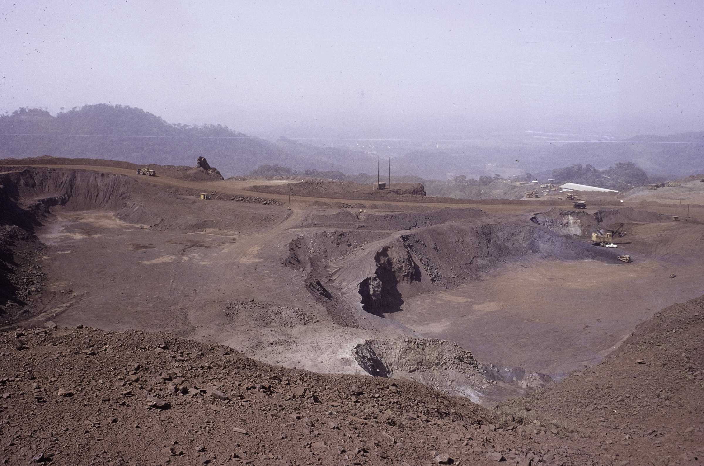
The source track traverses the old LAMCO mining landscape around Yekepa and Blue Lake. Wikiloc describes a route with easy sections but also very steep hillsides, passing old mining terraces and the Blue Lake mine pit. Waypoints on the source page include the tri-border crossing, a LAMCO cart ring, and LAMCO Pool, but the route is a one-way recorded track, so a publication-ready itinerary needs the GPX line and current guide confirmation before it is converted into a recommended day route.
Liberia Tourism confirms that the East Nimba Nature Reserve approach starts at the Nimba Ecolodge and Reserve reception, where visitors pay entrance fees, arrange guided hikes, and get reserve information before entering through the main gate. It also confirms that Blue Lake is an old mine pit now used as a visitor focus, and that multiple forest trails and a longer tri-border guided trek are available from the Blue Lake area.
Why it is essential
This is the best-documented public walking track in the Liberian Nimba landscape. It combines the defining elements of the region: high ironstone ridges, rainforest recovery, views toward three countries, and the visible remains of the LAMCO mining era.
Equipment
- Sturdy hiking shoes or boots with grip for steep eroded slopes
- Rain layer, sun protection, 2–3 litres of water, food, insect repellent, first-aid kit, and offline navigation
- Local guide and reserve/site permission; the official tourism source directs visitors to arrange guided hikes through Nimba Ecolodge/Reserve or accommodation contacts
Hazards and notes
- Old mine terrain can include unstable edges, terraces, roads, pits, industrial remnants, and restricted areas.
- The route is a one-way source track; return logistics and whether it is currently promoted by reserve guides are unresolved.
- Wet-season mud, road access, heat, and exposure on open mined slopes can change the difficulty sharply.
GPX / KML links
| Source | URL | Format | Reuse status |
|---|---|---|---|
| Wikiloc: Blue Lake Yekepa old LAMCO mine | wikiloc.com | Source route page / GPX download through Wikiloc UI | Statistics and route page verified; direct GPX reuse not confirmed under Wikiloc terms |
| Liberia Tourism: Mount Nimba | enjoyliberia.travel | Official tourism context; no GPX | Confirms Blue Lake, guided hikes, reserve reception, and access bases only |
External links
- Wikiloc — Blue Lake Yekepa old LAMCO mine
- Liberia Tourism — Mount Nimba
- Liberia Tourism — Nimba Ecolodge & Reserve
- UNESCO — Mount Nimba Strict Nature Reserve
2. Nimba Walk Blue Lake south-ridge lookout
Snapshot
Itinerary
The Wikiloc route starts from Blue Lake and climbs to the mountain south of the lake. The route author describes about 2.5 hours up and about 2 hours down, with good views, good shoes required, and some climbing sections. Because the recorded trail is marked one-way while the text describes an up-and-down outing, the final catalogue route should treat the distance and descent as source-track data until the GPX is inspected.
This hike should be presented as a Blue Lake viewpoint/south-ridge outing, not as the protected Guinea/Côte d’Ivoire Mount Richard-Molard summit. Liberia Tourism’s Nimba page supports the general concept of multiple guided trails from Blue Lake and a longer tri-border guided trek, but it does not publish route statistics.
Why it is essential
This is the most compact Nimba viewpoint route. It complements the old LAMCO mine walk by focusing on the climb above Blue Lake rather than the broader mined landscape.
Equipment
- Hiking shoes/boots with grip; the source route specifically warns of climbing sections
- Sun protection, rain layer, enough water, food, insect repellent, and navigation backup
- Local guide/reserve contact strongly recommended
Hazards and notes
- Scrambly or climbing sections are mentioned by the route source; exact grade and exposure are unresolved.
- One-way source data does not fully match the author’s out-and-back description.
- Heat, sun exposure, and steep ground are material hazards.
GPX / KML links
| Source | URL | Format | Reuse status |
|---|---|---|---|
| Wikiloc: Nimba Walk Blue Lake | wikiloc.com | Source route page / GPX download through Wikiloc UI | Statistics and route page verified; direct GPX reuse not confirmed under Wikiloc terms |
| Liberia Tourism: Mount Nimba | enjoyliberia.travel | Official tourism context; no GPX | Confirms Blue Lake guided hiking context only |
External links
- Wikiloc — Nimba Walk Blue Lake
- Liberia Tourism — Mount Nimba
- Liberia Tourism — Nimba Ecolodge & Reserve
3. Ziama Forest trail — Sérédou
Snapshot
Itinerary
The source route is a short forest loop near Sérédou. Wikiloc waypoints include Soeurs De Sainte Ursule – Sérédou, a mountain pass, tree waypoint, summit, intersection, and several generic waypoints. The trail climbs from lower forest around Sérédou into the Ziama Massif, reaching a high point around 837 m before returning to the start.
UNESCO identifies the Massif du Ziama Biosphere Reserve as lying on Guinea’s border with Liberia, about 100 km from N’Zérékoré, with dense evergreen to semi-evergreen forest, lower forest around 950–1,000 m, and upper montane forest. The public GPS route is shorter and lower than the full massif ecology would suggest, so it should be treated as a visitor trail, not a comprehensive Ziama traverse.
Why it is essential
Ziama is one of the key protected forest/massif landscapes of south-eastern Guinea and part of the Upper Guinean forest block. This is the only exact public walking track found in the Ziama area during this pass.
Equipment
- Sturdy shoes, rain layer, insect repellent, water, food, and navigation backup
- Local guide/permission recommended because the route is inside or near a sensitive protected forest landscape
Hazards and notes
- Mud, wet roots, insects, heat, low visibility, and route-finding uncertainty in forest.
- The GPX source is a user route, not an official park trail.
- Protected-area rules and local access requirements were not verified.
GPX / KML links
| Source | URL | Format | Reuse status |
|---|---|---|---|
| Wikiloc: Ziama Forest trail — Seredou | wikiloc.com | Source route page / GPX download through Wikiloc UI | Statistics and route page verified; direct GPX reuse not confirmed under Wikiloc terms |
External links
4. La Dent de Man summit-and-waterfall loop
Snapshot
Itinerary
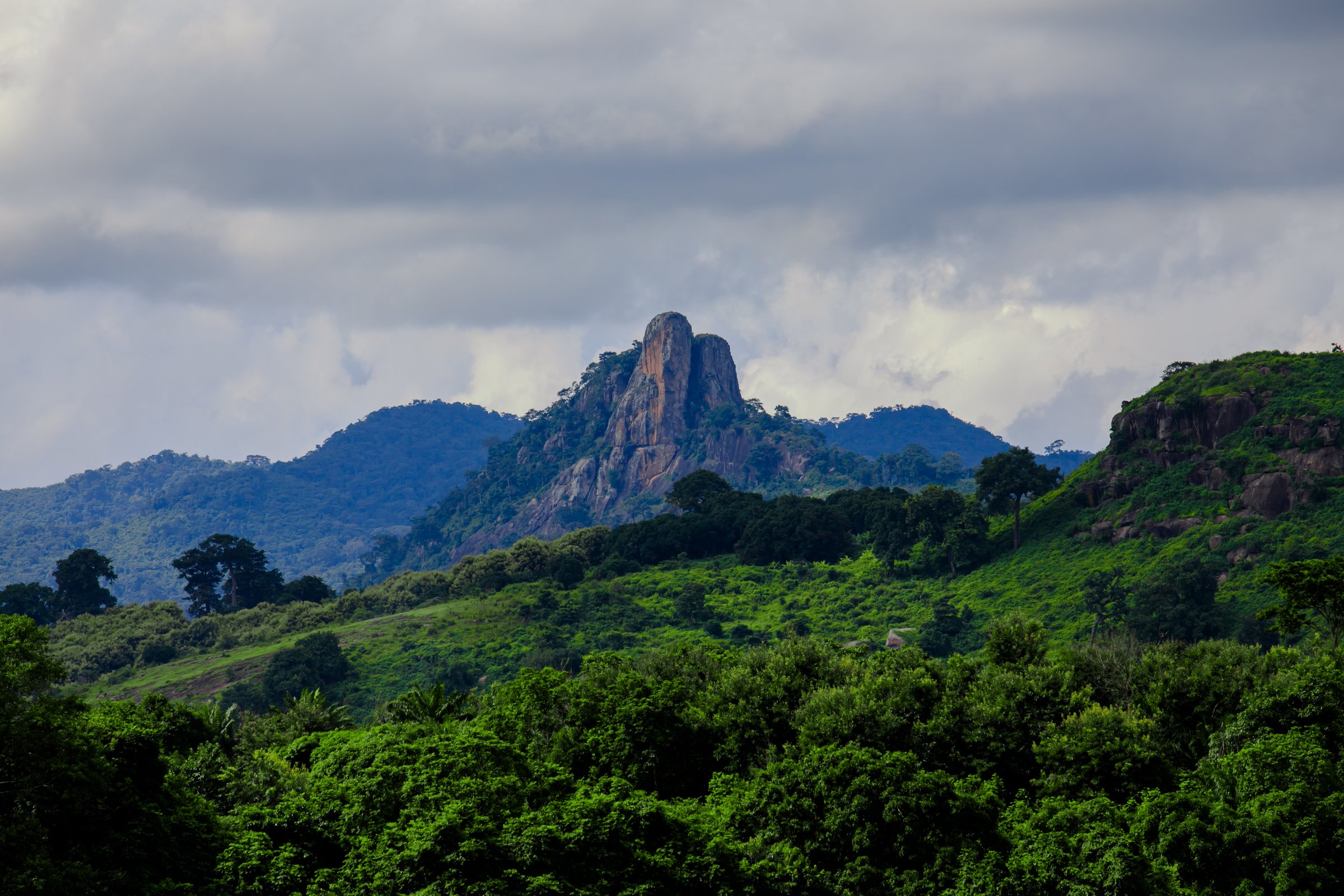
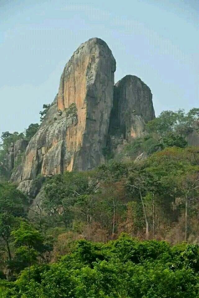
The route climbs the famous Dent de Man, then returns by way of the waterfall. The Wikiloc description reports a village entrance tax and mandatory guide, then a walk through varied plantations including cocoa, teak, and pineapple before the ascent steepens. Recorded waypoints include pineapple fields, a cocoa-field house, a fromager tree at 614 m, the high point at 913 m, a source at 542 m, and a panorama point at 519 m.
This is the strongest Côte d’Ivoire route source found for the broader Guinea Highlands pass. It represents the Man highlands’ cultural/agricultural approach, volcanic-plug summit character, and waterfall return in a single day outing.
Why it is essential
La Dent de Man is one of the most recognisable walking objectives around Man, and the route has a clear public GPS page with distance, ascent, time, difficulty, waypoints, and access caveats.
Equipment
- Good hiking shoes, sun protection, water, food, rain layer, and insect repellent
- Cash for local entrance/guide fees; guide treated as required because the source route says guide is mandatory
Hazards and notes
- Steep ascent, heat, slippery ground after rain, and possible exposure near summit rocks.
- Local tax and guide requirement must be confirmed on arrival.
- The route uses plantations and village approaches; stay on authorised paths.
GPX / KML links
| Source | URL | Format | Reuse status |
|---|---|---|---|
| Wikiloc: La dent de MAN | wikiloc.com | Source route page / GPX download through Wikiloc UI | Statistics, waypoints, route page verified; direct GPX reuse not confirmed under Wikiloc terms |
External links
5. Wologizi / Mount Wuteve summit-ridge route
Snapshot
Itinerary
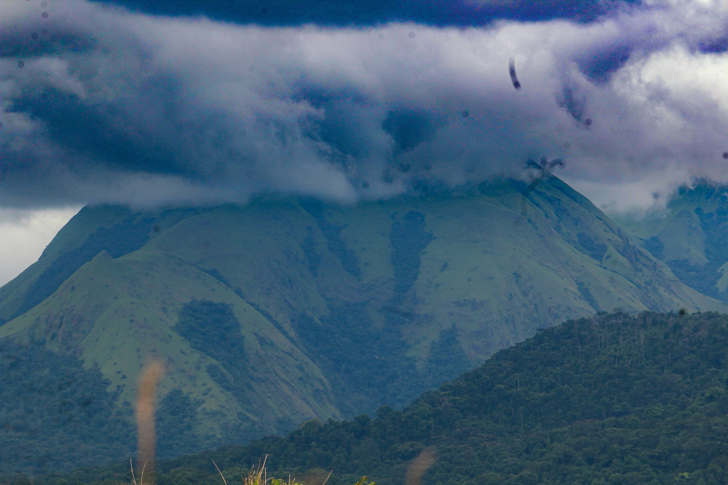
The Wologizi/Wuteve route remains less verified than the Nimba, Ziama, and Dent de Man entries. Liberia Tourism confirms that Lofa’s plains rise to mountains near the Guinean border and identifies Mount Wuteve (Wologizi) as Liberia’s highest point. The Key Biodiversity Areas factsheet describes Wologizi as an isolated upland south of Voinjama, with Mount Wuteve at 1,447 m, a 22 km ridge, steep slopes, and cliffs up to 100 m in places.
The best current route notes come from two non-official sources. TakeYourBackpack gives an approximate 12 km round trip, 1,200 m ascent, and 4–6 h timing from near Voinjama, but also labels the wider outing as a three-day adventure. A December 4, 2024 Peakbagger ascent report says the shortest start is Lisco, with about 900 m of height, lower forest, straight steep sections, dense bush near the shoulder, a ridge continuation, and a summit marker that may be hidden by vegetation. No GPX or official route file was found.
Why it is essential
Wologizi/Mount Wuteve is the defining Liberian highland objective away from Nimba and contains Liberia’s highest summit landscape. It belongs in the catalogue, but it should remain clearly flagged until a legal route source, GPX, and guide/permit pathway are verified.
Equipment
- Hard tropical mountain kit: boots, long sleeves/trousers for bush, rain protection, warm layer for high ridge weather, headtorch, water treatment, food, first-aid kit, and navigation backup
- Local guide required; machete may be needed according to Peakbagger report
- Current community/authority permissions and security/road access checks required
Hazards and notes
- Dense bush, spiny vegetation, steep forest, ridge cliffs, wildfire-affected summit vegetation, and limited rescue options.
- Route data is not yet publication-ready; no GPX was found.
- Maximum elevation differs by source: KBA/Liberia Tourism support 1,447 m / 4,751 ft, while Peakbagger’s ascent page lists 1,420 m / 4,659 ft.
GPX / KML links
| Source | URL | Format | Reuse status |
|---|---|---|---|
| Peakbagger ascent report: Mount Wuteve, 2024-12-04 | peakbagger.com | Trip/ascent report; no GPX found | Useful route narrative only; no reusable route file |
| TakeYourBackpack: Wologizi Mountain Trail | takeyourbackpack.com | Secondary hiking guide; no GPX found | Candidate stats only; site terms unresolved |
| OSM search: Mount Wuteve / Wologizi | openstreetmap.org | Map search | OSM data is ODbL; geometry cross-check only |
External links
- Liberia Tourism — Discover Lofa County
- Key Biodiversity Areas — Wologizi mountains (6455)
- Peakbagger — Ascent of Mount Wuteve, 2024-12-04
- TakeYourBackpack — Wologizi Mountain Trail
Missing data and follow-up
- Download/inspect GPX files from Wikiloc for the three exact route pages and confirm route direction, start/end points, and whether one-way tracks are usable as day-hike recommendations.
- Confirm current East Nimba Nature Reserve fees, guide rules, and legal hiking areas with Nimba Ecolodge/Reserve or Liberia’s Forestry Development Authority.
- For Ziama, confirm whether the Sérédou loop is inside the biosphere reserve, whether visitors need permits, and whether local guides maintain the route.
- For Dent de Man, confirm current village fee, guide requirement, and trail condition after rain.
- For Wologizi/Mount Wuteve, find or create a legal GPS line from a local guide/authority source before treating it as publication-ready.
External links
| Source | URL |
|---|---|
| Liberia Tourism — Mount Nimba | enjoyliberia.travel |
| Liberia Tourism — Nimba Ecolodge & Reserve | enjoyliberia.travel |
| Liberia Tourism — Discover Lofa County | enjoyliberia.travel |
| UNESCO — Mount Nimba Strict Nature Reserve | whc.unesco.org |
| UNESCO MAB — Massif du Ziama | unesco.org |
| Key Biodiversity Areas — Wologizi mountains (6455) | keybiodiversityareas.org |
| Wikiloc — Nimba hiking trails listing | wikiloc.com |
| Wikiloc — Blue Lake Yekepa old LAMCO mine | wikiloc.com |
| Wikiloc — Nimba Walk Blue Lake | wikiloc.com |
| Wikiloc — Ziama Forest trail, Seredou | wikiloc.com |
| Wikiloc — La dent de MAN | wikiloc.com |
| Peakbagger — Ascent of Mount Wuteve, 2024-12-04 | peakbagger.com |
| TakeYourBackpack — Wologizi Mountain Trail | takeyourbackpack.com |