Regional overview
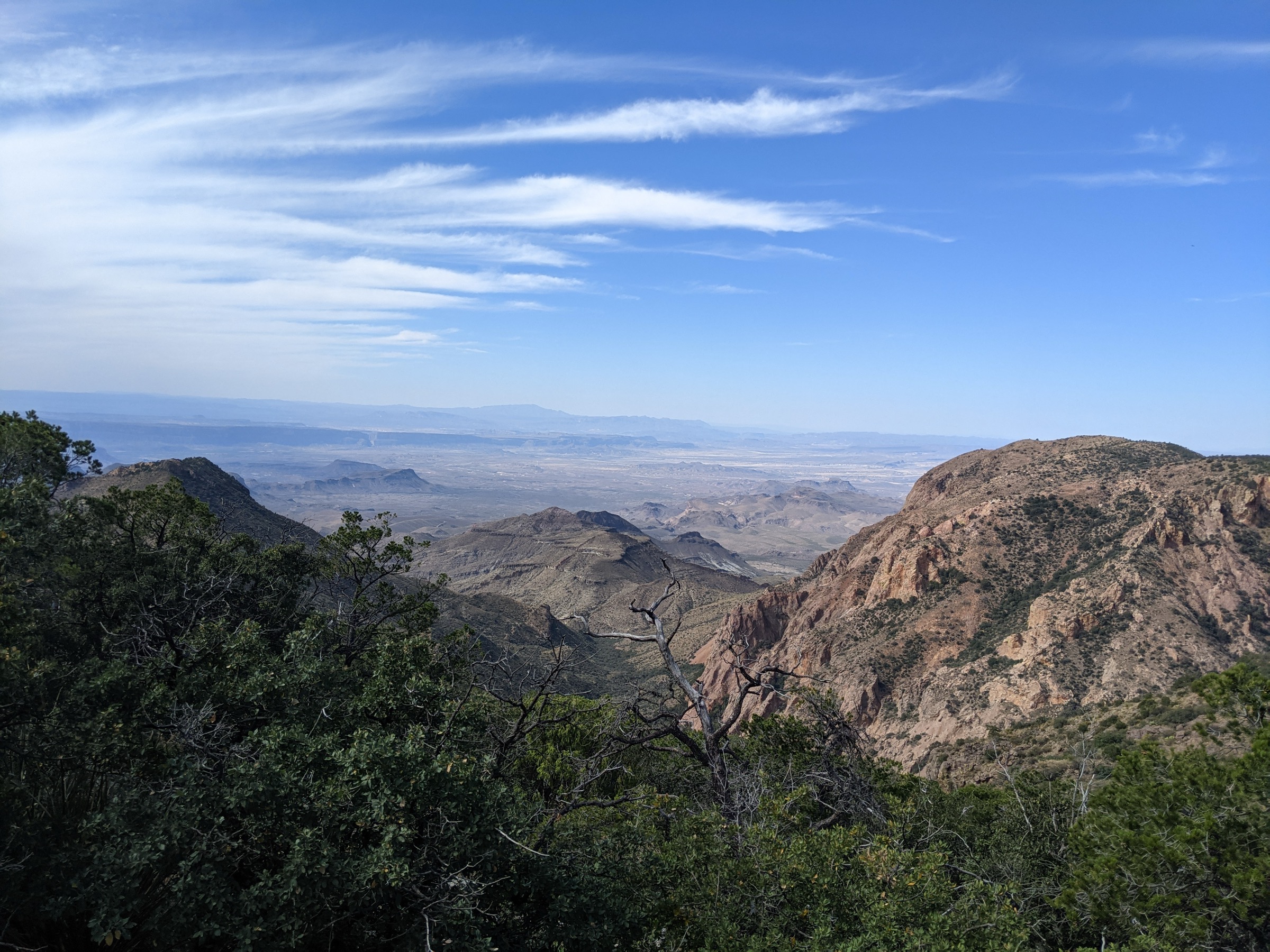
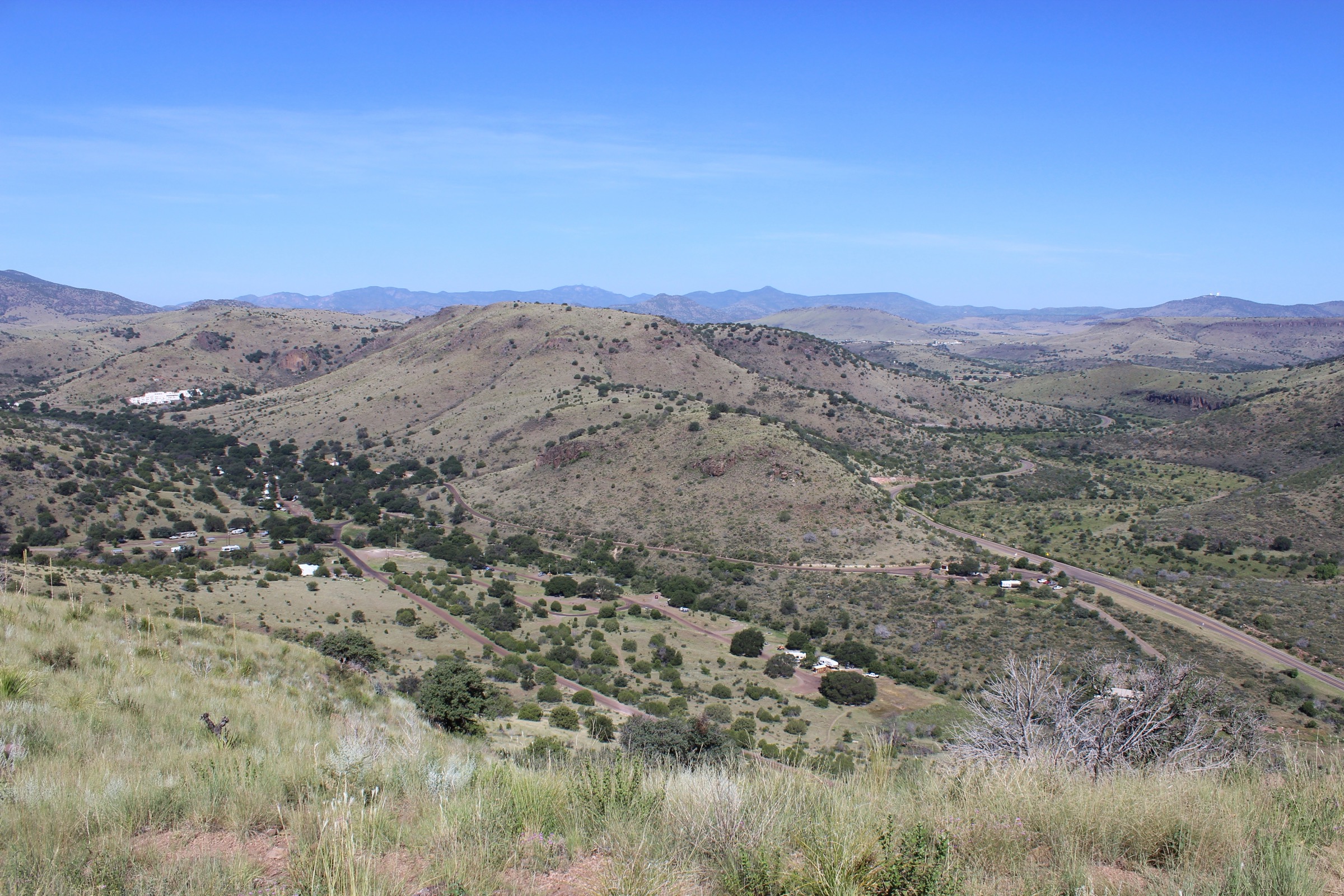
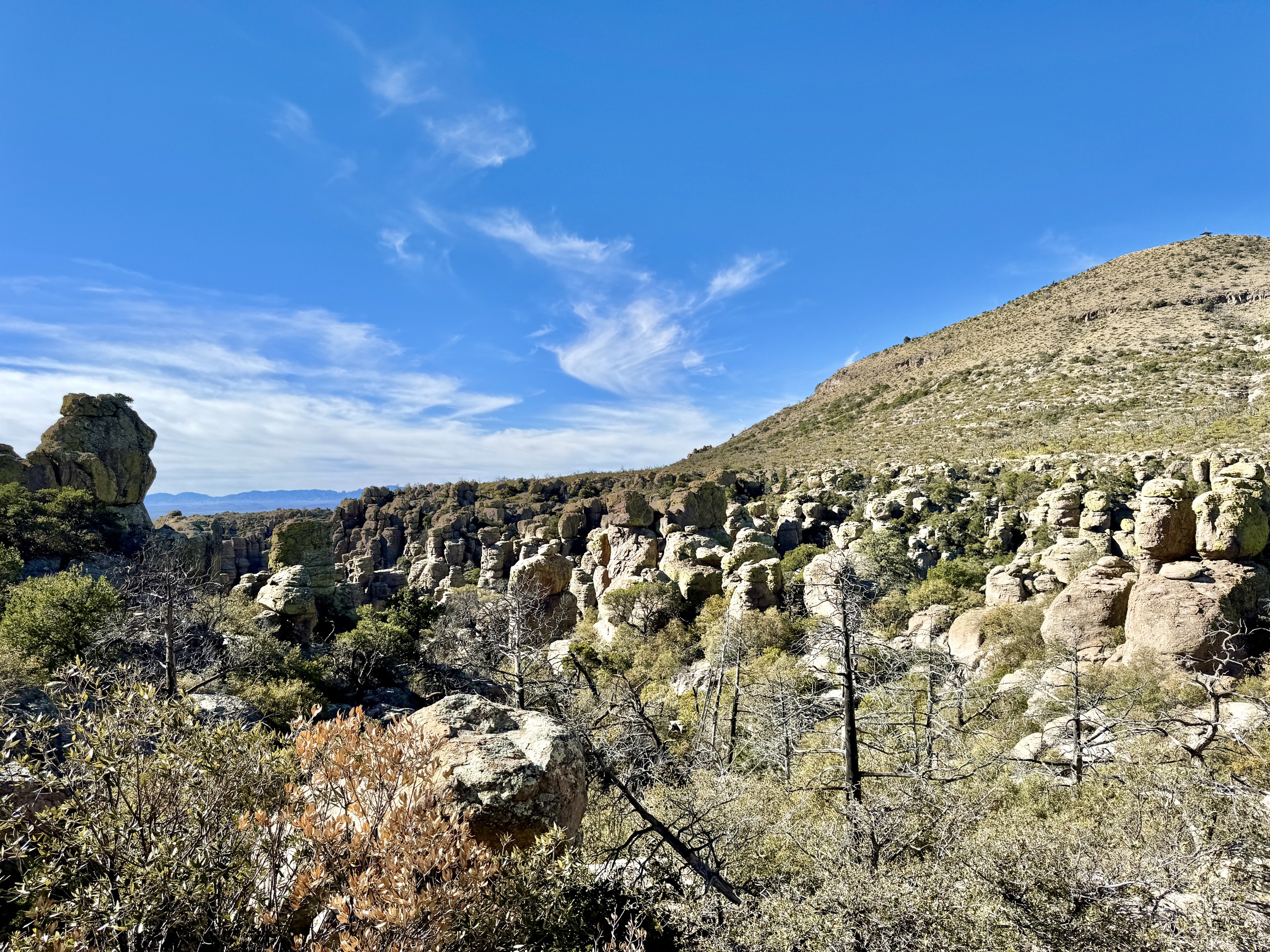
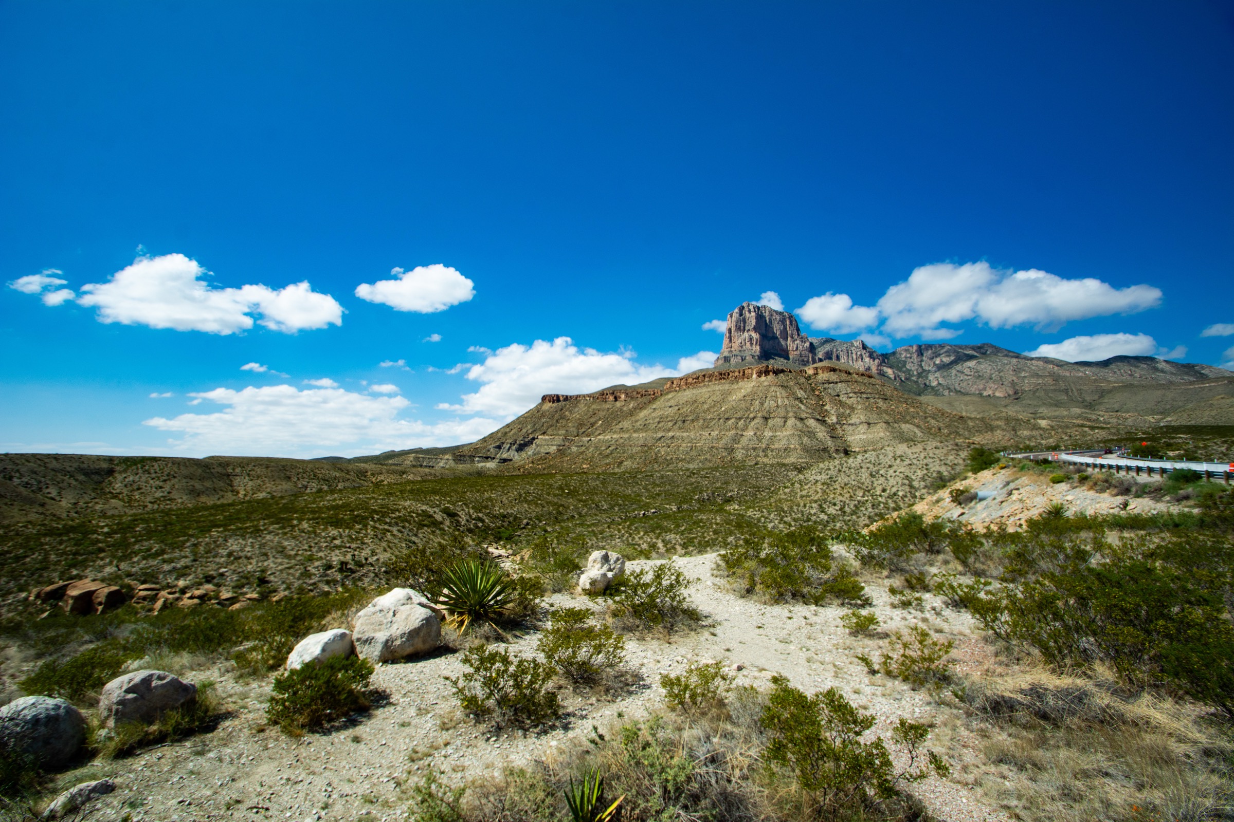
The Guadalupe Mountains are the high limestone and fossil-reef core of Guadalupe Mountains National Park, rising abruptly above the Chihuahuan Desert near the Texas–New Mexico line. The range holds Guadalupe Peak, the highest point in Texas at 8,751 ft / 2,667 m, together with a compact trail system of desert canyons, dry washes, springs, high-country forest and exposed limestone ridges.
The hiking character is rugged, dry and often steep. Pine Springs is the main trailhead for Guadalupe Peak, Devil’s Hall and the high-country loops. McKittrick Canyon provides the park’s signature canyon and autumn-colour walking, and Frijole Ranch anchors the lower-elevation spring and foothill routes. NPS describes the park as having more than 80 mi of trails, with several routes involving loose rock, wash travel, scrambling, steep climbs and little or no water.
The best hiking seasons are autumn through spring. Summer heat, winter wind and ice, and fast-changing mountain weather can all be serious. Pets are not allowed on park trails. McKittrick Canyon has gate/time restrictions, and off-trail hiking or large group day-hikes may require permits. Access is by private vehicle — no reliable public transport to the selected trailheads was verified.
Current access note checked on 2026-07-13: verify current conditions and gate hours via the NPS Guadalupe Mountains hiking page before every trip.
See also: Franklin Mountains, Texas · Davis Mountains, Texas.
Selection rationale
The five hikes below cover the Guadalupe Mountains’ essential day-hike range — the Texas high point (Guadalupe Peak), the classic desert wash and rock-hall route (Devil’s Hall), the signature McKittrick Canyon viewpoint (The Notch), the strenuous high-country summit loop (Hunter Peak) and a shorter spring-and-ranch foothill loop (Smith Spring). Official NPS route pages and trail descriptions were prioritised. No official GPX/KML files were found for these routes; route-file status is based on the NPS route pages and PDF valley maps.
Summary
| # | Hike | Country | Route type | Distance | Gain | Difficulty | Primary trailhead |
|---|---|---|---|---|---|---|---|
| 1 | Guadalupe Peak Trail | USA | Out-and-back | 13.5 km / 8.4 mi | 914 m / 3,000 ft | Very strenuous | Pine Springs |
| 2 | Devil’s Hall Trail | USA | Out-and-back | 6.8 km / 4.2 mi | 167 m / 548 ft | Strenuous | Pine Springs |
| 3 | McKittrick Canyon to The Notch | USA | Out-and-back | 14.5 km / 9.0 mi | 333 m / 1,092 ft | Difficult | McKittrick Canyon Visitor Center |
| 4 | Hunter Peak Loop | USA | Loop | 14.0 km / 8.7 mi | 823 m / 2,700 ft | Strenuous | Pine Springs |
| 5 | Smith Spring Trail Loop | USA | Loop | 3.7 km / 2.3 mi | 123 m / 402 ft | Easy–moderate | Frijole Ranch |
1. Guadalupe Peak Trail
Snapshot
Itinerary
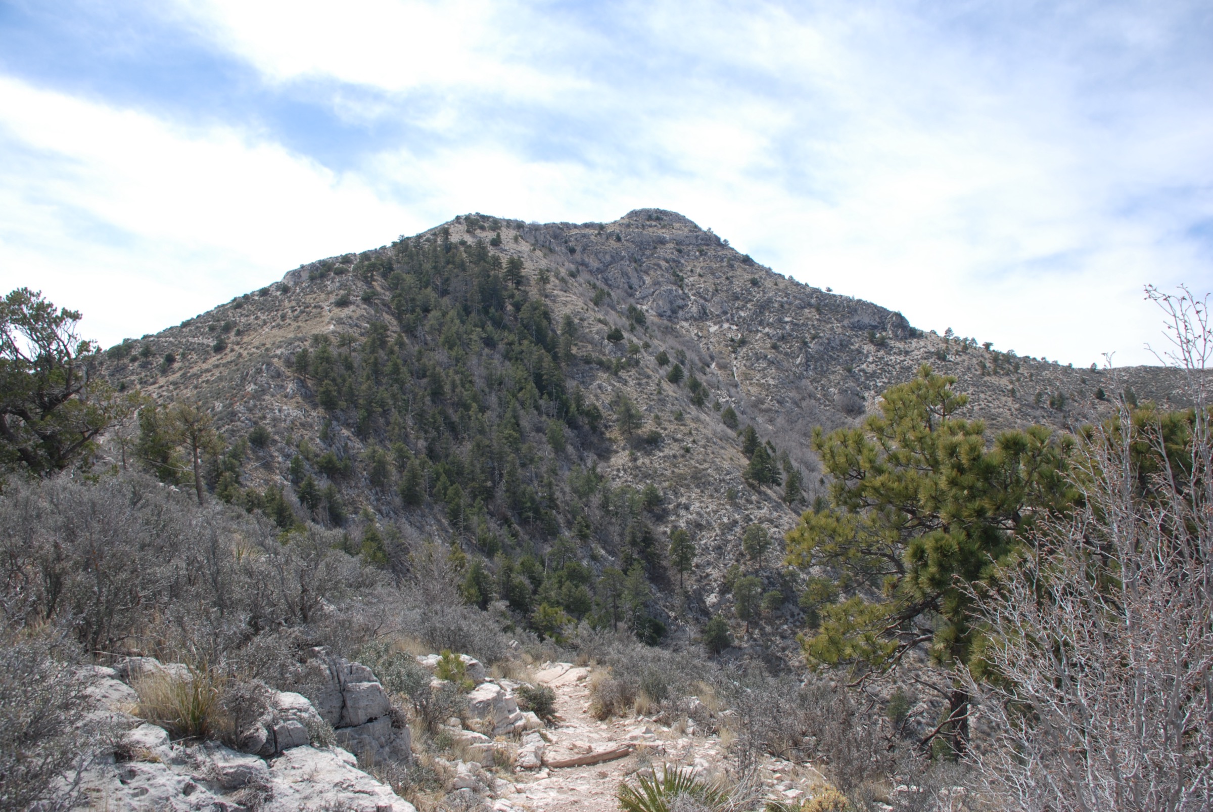
From Pine Springs the trail climbs steeply through desert slopes, switchbacks and exposed limestone terrain to the high ridge of Guadalupe Peak. The final section reaches the summit marker on the highest point in Texas, with views over the Salt Basin, El Capitan and the surrounding desert ranges. Return the same way.
Why it is essential
Guadalupe Peak is the Texas high point and the park’s defining summit hike — the single most iconic walking objective in the range.
Equipment
- Sturdy boots or trail runners
- Trekking poles
- 3–4 L water — no dependable sources on route
- Sun protection, wind and warm layers, weatherproof layer
- Map / GPS and headlamp for delays
Hazards and notes
- Long, steep, rocky and dry — exposed to wind, heat, lightning and winter ice.
- Altitude-related illness can affect hikers near 8,000 ft.
- Parking at Pine Springs can fill early.
- Pets are not allowed on park trails.
Routes and maps
| Source | URL |
|---|---|
| NPS — Guadalupe Peak route page | nps.gov |
| NPS — Guadalupe Mountains maps | nps.gov |
| OpenStreetMap — Guadalupe Peak | openstreetmap.org |
Further reading
2. Devil’s Hall Trail
Snapshot
Itinerary
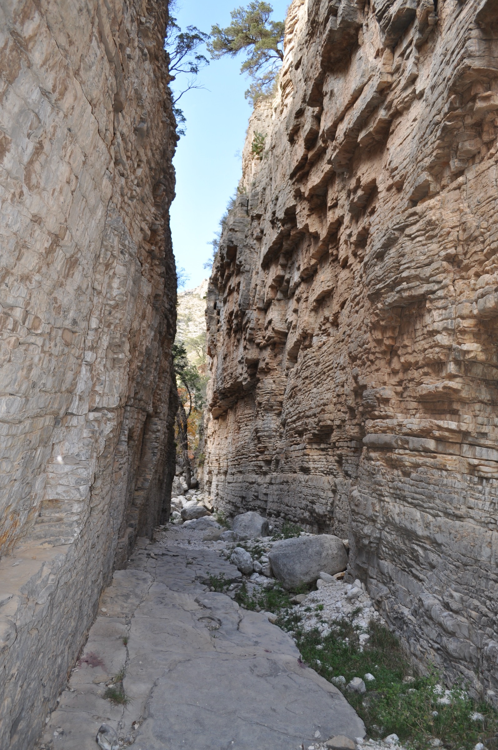
From Pine Springs the route follows the Devil’s Hall Trail toward the canyon drainage, then continues through a rocky wash where progress involves boulder travel, route-finding and short scrambling. The objective is the narrow limestone passage of Devil’s Hall. Return the same way.
Why it is essential
The park’s classic short canyon adventure — a distinctive limestone hallway reached by a desert wash walk that feels much more rugged than its distance suggests.
Equipment
- Shoes with good grip for boulder travel
- Extra water and sun protection
- Map / GPS
- Headlamp if starting late
- Trekking poles help on the approach but may need stowing during the scrambling
Hazards and notes
- NPS warns not to enter the wash in wet or rainy conditions — flash-flood risk.
- Loose rock, boulders, debris and short scrambling.
- Heat and ankle-injury risk.
- Pets are not allowed on park trails.
Routes and maps
| Source | URL |
|---|---|
| NPS — Devil’s Hall Trail route page | nps.gov |
| NPS — Trail descriptions | nps.gov |
| OpenStreetMap — Devil’s Hall | openstreetmap.org |
Further reading
3. McKittrick Canyon to The Notch
Snapshot
Itinerary
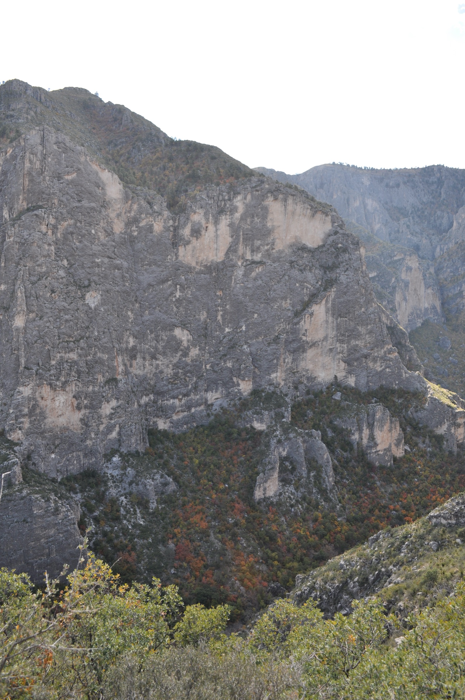
From the McKittrick Canyon Visitor Center the trail runs up the canyon to Pratt Cabin, then continues to the Grotto and the Hunter Line Shack area. Beyond the Grotto the route climbs more steeply on switchbacks to The Notch, a canyon viewpoint looking across the layered limestone walls. Return by the same trail before the McKittrick Canyon gate closure.
Why it is essential
The park’s signature canyon walk and its most celebrated autumn route — The Notch extends the popular lower-canyon hike into a more complete day, adding height, views and a stronger sense of the canyon’s reef geology.
Equipment
- Sturdy footwear
- Water, food
- Sun protection, warm / wind layer, weatherproof layer
- Map / GPS
- Headlamp for delays; check gate hours before starting
Hazards and notes
- McKittrick Canyon is day-use only below the ridge campground area; the access gate closes at a posted time — plan the return accordingly.
- The upper route is steeper and more tiring than the lower canyon walk.
- Heat, loose rock and limited water.
- Pets are not allowed on park trails.
Routes and maps
| Source | URL |
|---|---|
| NPS — The Notch route page | nps.gov |
| NPS — Trail descriptions | nps.gov |
| OpenStreetMap — McKittrick Canyon | openstreetmap.org |
Further reading
4. Hunter Peak Loop
Snapshot
Itinerary
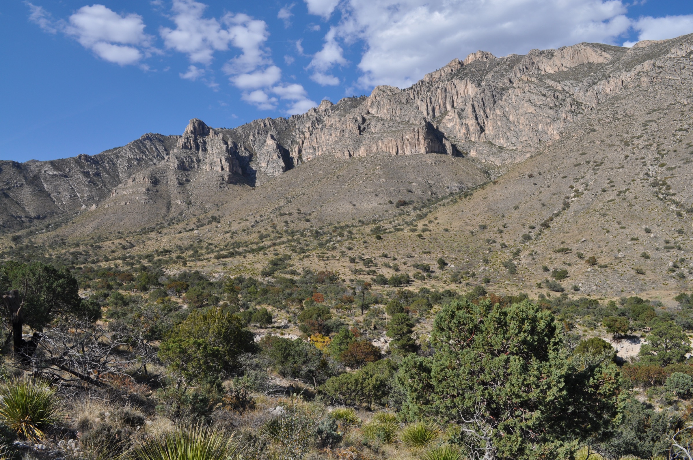
From Pine Springs the recommended loop climbs Bear Canyon steeply to the high country, then uses the Bowl Trail through forested terrain and takes the short spur to Hunter Peak. The descent follows the Tejas Trail back toward Pine Springs. NPS rangers recommend ascending Bear Canyon rather than descending it.
Why it is essential
The best single-day high-country loop in the Guadalupe Mountains — the park’s steep canyon ascent, forested Bowl, limestone summit views and a long mountain descent all in one day.
Equipment
- Sturdy boots or trail runners
- Trekking poles
- 3–4 L water — no dependable sources on route
- Sun protection, warm / wind layer, weatherproof layer
- Map / GPS and headlamp for delays
Hazards and notes
- Bear Canyon gains about 2,000 ft in less than 2 mi — steep and loose.
- Long, dry and exposed to weather.
- Black bears occur in the high country; the entire park is mountain-lion habitat.
- Pets are not allowed on park trails.
Routes and maps
| Source | URL |
|---|---|
| NPS — Hunter Peak hike | nps.gov |
| NPS — Hunter Peak place page | nps.gov |
| NPS — Trail descriptions | nps.gov |
Further reading
5. Smith Spring Trail Loop
Snapshot
Itinerary
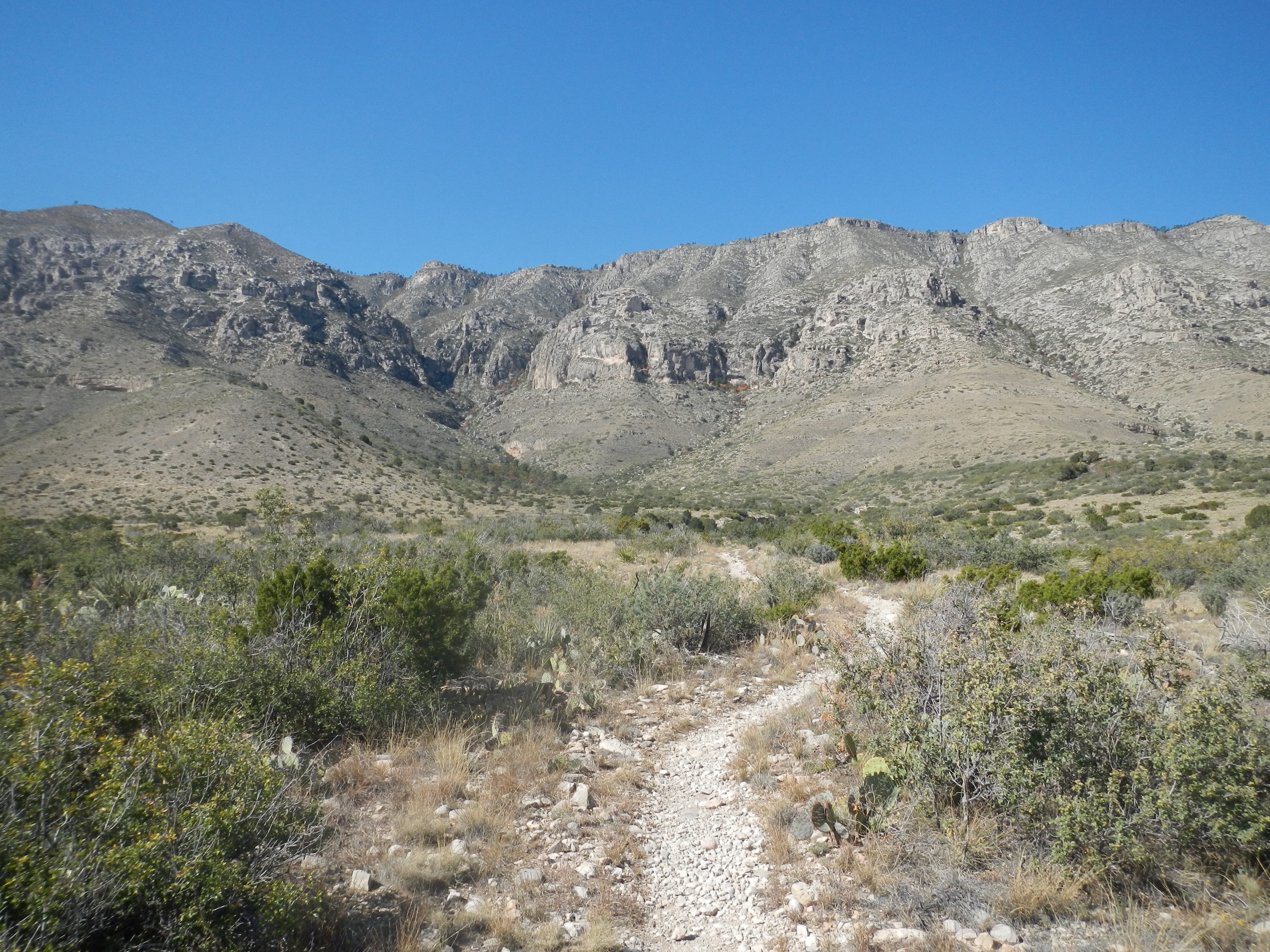
From Frijole Ranch the loop passes Manzanita Spring and continues through desert foothill terrain to Smith Spring before circling back toward the ranch. NPS notes that the section to Manzanita Spring is paved; the rest of the loop includes loose and hardened rock.
Why it is essential
A short, accessible contrast to the park’s strenuous summit and canyon routes — historic ranch setting, reliable water sources, birding and a close look at how springs shape life in the desert foothills.
Equipment
- Walking shoes or light boots
- Water, sun protection, hat
- Snack, map
- Binoculars useful for birding
Hazards and notes
- Short but still exposed to desert heat and rough footing beyond the paved section.
- Stay on trail around sensitive water sources.
- Pets are not allowed on park trails.
Routes and maps
| Source | URL |
|---|---|
| NPS — Smith Spring Trail route page | nps.gov |
| NPS — Trail descriptions | nps.gov |
| OpenStreetMap — Frijole Ranch | openstreetmap.org |
Further reading
Region-wide cautions
- The Guadalupe Mountains are dry, exposed and often steep — the high routes are long, rocky and short on water. Carry more water than you think you need and start early.
- Summer heat can be extreme; winter can bring high wind and ice on the ridges. Autumn and spring are the safe planning window.
- Flash floods are a genuine hazard in the wash routes (notably Devil’s Hall) — do not enter in wet or rainy weather.
- The park is prime black-bear and mountain-lion habitat; carry no food in tents and keep children close on the high-country trails.
- McKittrick Canyon is day-use only below the ridge campground and the gate closes at a posted time. Plan the return accordingly.
- Pets are not allowed on any park trail.
- No reliable public transport to the trailheads was verified — plan for private-vehicle access.
Routes excluded
- El Capitan Trail — a fine desert-base traverse but longer, drier and often better as a shuttle option than a repeat day-hike.
- Full Bowl Traverse / Tejas Trail through-hike — a multi-day backcountry objective, not a day-hike.
- Slaughter Canyon Cave and adjoining Carlsbad Caverns hikes — a separate park unit and better treated in a dedicated Carlsbad article.
- Winter and snowshoe routes — a separate discipline; this article covers snow-free-season day-hiking only.
Data and media notes
Route statistics come from the NPS route pages and PDF trail descriptions for each hike; where NPS lists “elevation change” rather than gain/loss, that language is preserved. Maximum elevations are not consistently published on NPS pages for Devil’s Hall, The Notch and the Smith Spring loop and are omitted rather than transcribed from lower-authority sources. No official GPX or KML files were found for the selected routes at time of publication — route geometry should be traced from the NPS PDF maps, OSM, or a field GPS.