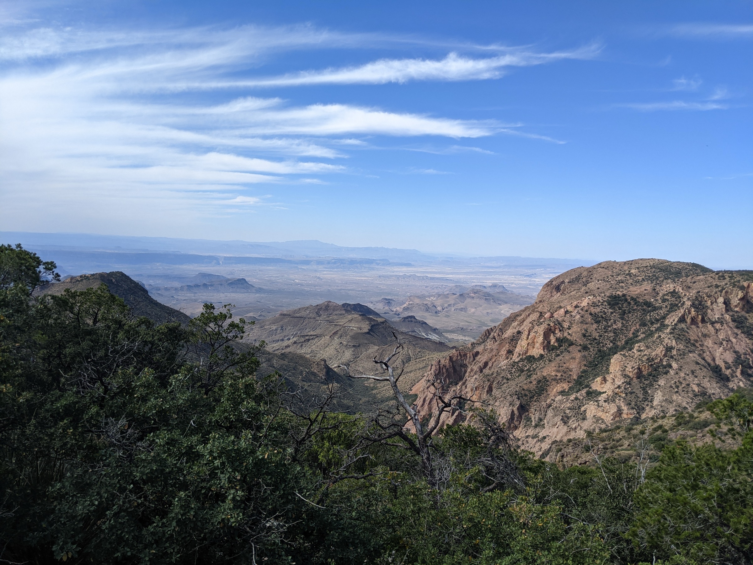
Regional overview
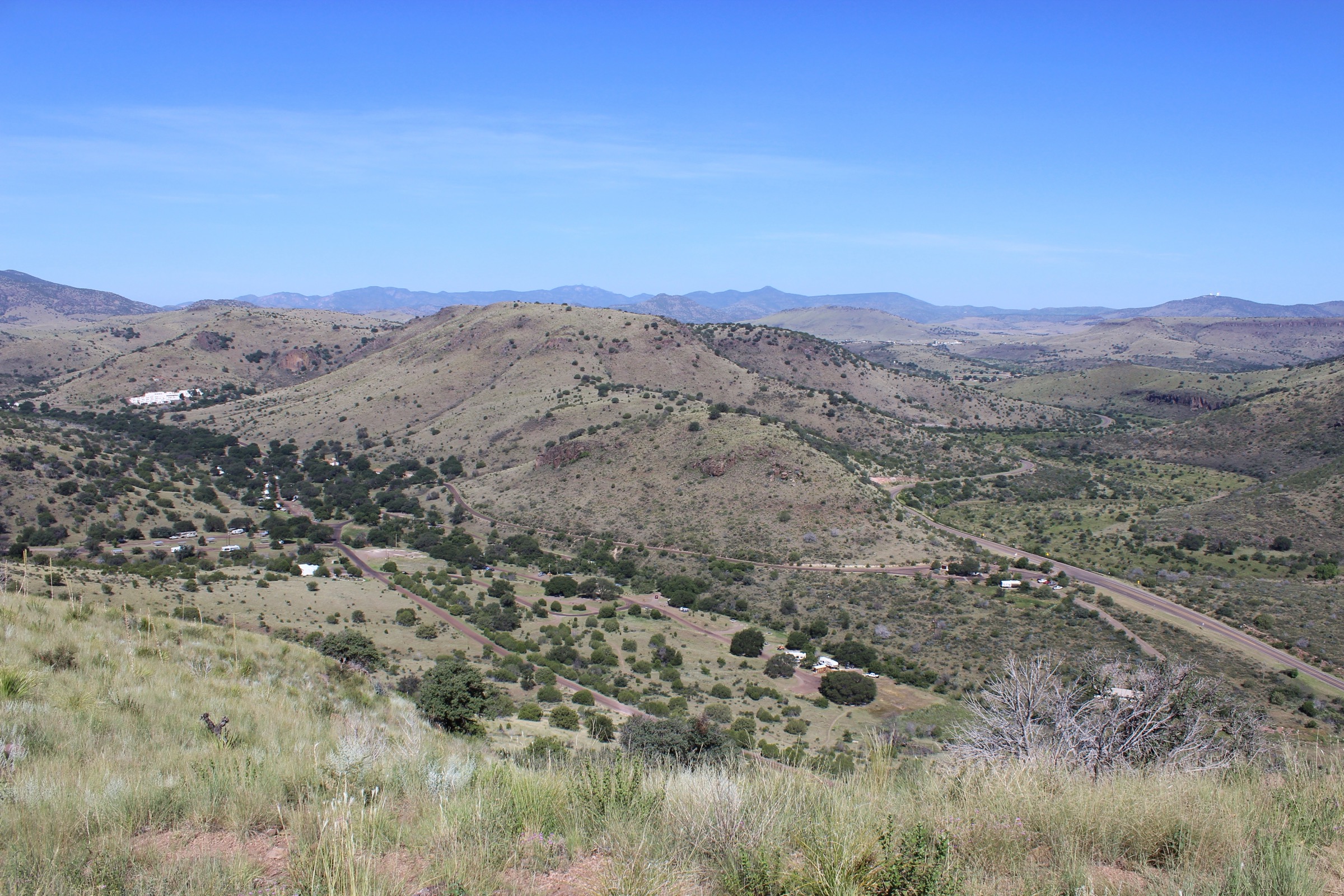
The Chisos Mountains are the high volcanic core of Big Bend National Park, rising as a compact sky-island block above the Chihuahuan Desert of far southwest Texas. Oak, pinyon, juniper and ponderosa pine cluster on the upper slopes; Arizona cypress lines the shaded canyons; dry desert rims fall away in every direction. The main hiking centre is Chisos Basin, from which almost every essential high-country route begins. The range holds Emory Peak (2,387 m / 7,832 ft), the highest point in Big Bend, and the South Rim, one of the great high-desert balconies of the American Southwest.
The walking character is dry, exposed and often strenuous despite moderate distances. Many routes leave the Basin already high, but still involve steep climbs, long water carries, rough volcanic tread and rapid weather changes. Heat is the dominant safety issue outside the cool season; lightning, winter ice in shaded canyons, unreliable water and wildlife encounters — black bears, mountain lions, grey foxes — are all real. Pets are not allowed on trails anywhere in Big Bend National Park.
The reliable walking season is late October through April. Summer hiking is possible only with very early starts and conservative objectives. NPS seasonal peregrine-falcon closures can affect portions of the East Rim area, commonly February through May; NPS reported that the East Rim Trail remained open in spring 2026 because nesting evidence was lacking, but this must be rechecked before travel. Access is by private vehicle only; no regular public transport to the trailheads was verified. Chisos Basin parking is limited and Lost Mine Trail parking is especially constrained — an early start is effectively mandatory.
See also: Guadalupe Mountains, Texas · Franklin Mountains, Texas.
Selection rationale
The five walks below cover the essential Chisos day-hike range. Lost Mine Trail is the compact short-and-classic ridge viewpoint. The Window is the Basin canyon walk to the range’s most photographed pour-off. Emory Peak is the summit — the highest point in the park. South Rim Loop is the great long day, the range’s defining rim traverse. Boot Canyon and Colima Loop closes the set with the lushest ecological contrast in the Chisos: cypress-shaded canyon, seasonal pools and a quieter descent. Official National Park Service route pages and maps were prioritised throughout; no downloadable GPX or KML files were located for any route, so route-file status rests on the NPS route descriptions and the Chisos Mountains trails map image.
Summary table
| # | Hike | Country | Route type | Distance | Gain | Max elevation | Difficulty |
|---|---|---|---|---|---|---|---|
| 1 | Lost Mine Trail | USA | Out-and-back | 7.7 km | ~305–335 m | ~2,088 m | Moderate |
| 2 | Window Trail | USA | Out-and-back | 9.0 km | ~275–305 m (on return) | ~1,646 m | Moderate |
| 3 | Emory Peak via Pinnacles Trail | USA | Out-and-back | 16.1 km | ~730–760 m | 2,387 m | Strenuous |
| 4 | South Rim Loop | USA | Loop / lollipop | 19.3–23.3 km | ~610 m | ~2,255 m | Strenuous |
| 5 | Boot Canyon and Colima Loop | USA | Loop / lollipop | ~15.3 km | ~550–610 m | ~2,225 m | Strenuous |
1. Lost Mine Trail
Snapshot
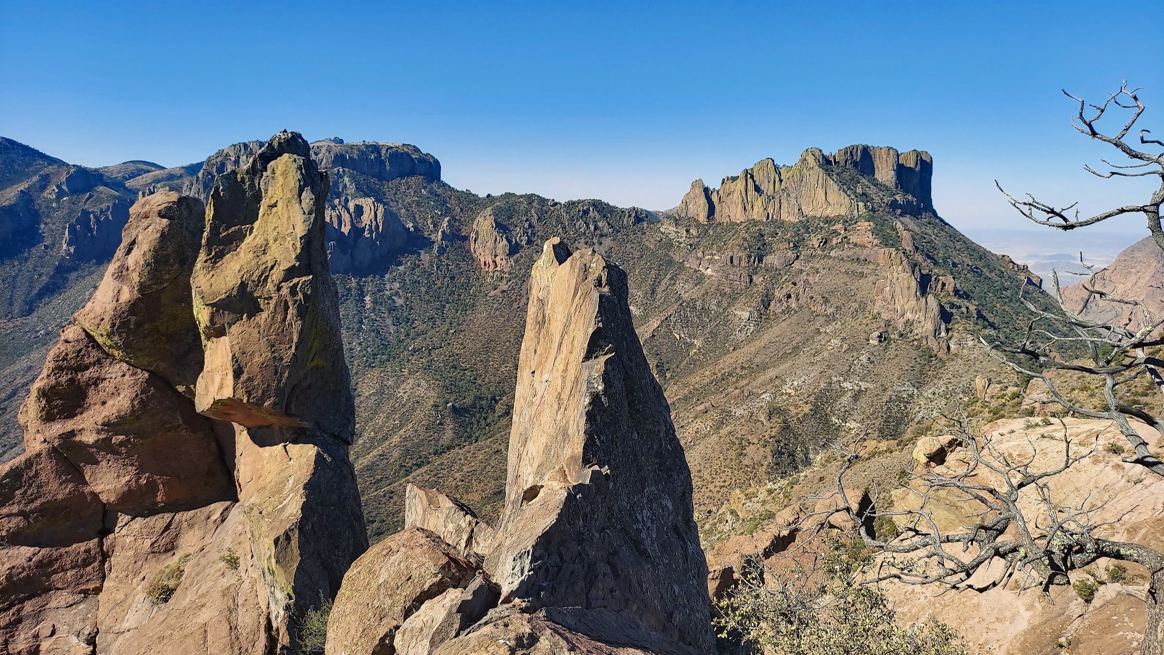
Itinerary
From the small Lost Mine Trail parking area on Basin Road, the trail climbs through oak and pinyon woodland toward a saddle reached after about 1 mi. It then continues along an exposed ridge to high viewpoints over Pine Canyon, Juniper Canyon, Casa Grande and the Sierra del Carmen across the Rio Grande. Return follows the same trail.
Why it is essential
Lost Mine is the compact classic of the Chisos: short enough for many visitors, but high enough to give a strong sense of the range’s ridges, canyons and desert horizons in a half-day. It is the single best short introduction to what the Chisos are.
Equipment
- Sturdy hiking shoes or light boots
- 2 L water minimum; more in warm weather
- Sun hat, high-SPF sunscreen and sunglasses
- Weatherproof layer and a warm layer outside midsummer
- Offline map and GPS
- Trekking poles for the descent
Hazards and notes
- Parking is very limited — arrive at dawn.
- Ridge is exposed to heat, wind and lightning.
- Black bears, mountain lions and grey foxes live in the Chisos; carry noise and follow NPS wildlife guidance.
- Pets are not allowed on trails.
GPX / route file
Sources
2. Window Trail
Snapshot
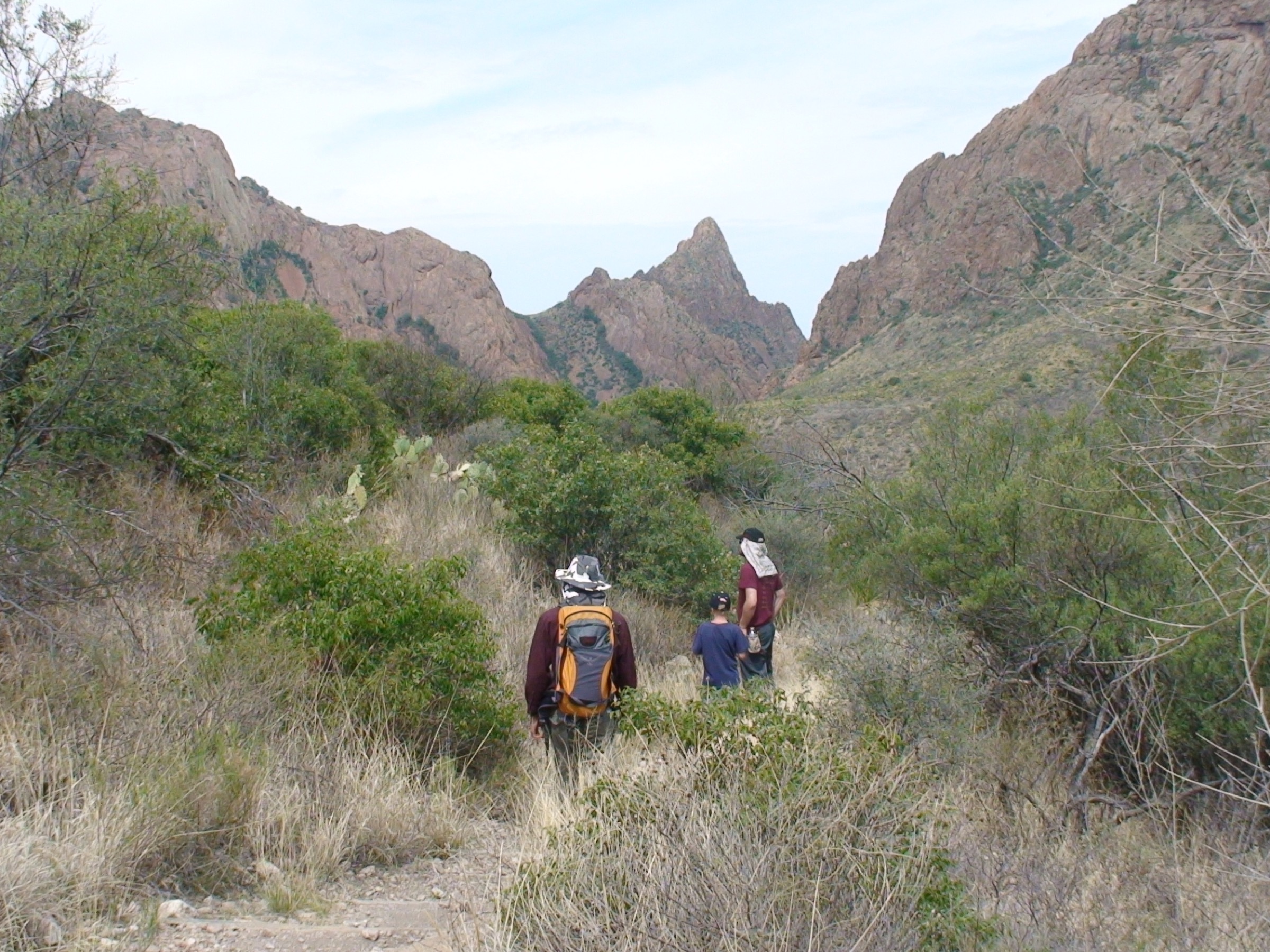
Itinerary
From Chisos Basin, the trail descends Oak Creek Canyon, crossing wash and canyon-bottom terrain on the way to the narrow Window pour-off — the framed gap in the Basin’s western wall that is Big Bend’s most photographed canyon feature. The route returns uphill by the same line to the Basin.
Why it is essential
The Window is the signature canyon feature of Chisos Basin, combining an accessible start, a clear canyon objective and one of Big Bend’s most recognisable framed desert views. It is the range’s essential Basin-side walk.
Equipment
- Shoes with grip for polished slickrock
- 2 L water minimum
- Sun hat, high-SPF sunscreen and sunglasses
- Weatherproof layer
- Offline map and GPS
- Trekking poles for the uphill return
Hazards and notes
- The pour-off itself has slickrock and no railings; a slip here is serious.
- NPS warns that creek crossings may be difficult after rain — flash-flood awareness is essential in the canyon.
- The return climb is hot in warm weather.
- Pets are not allowed on trails.
GPX / route file
Sources
3. Emory Peak via Pinnacles Trail
Snapshot
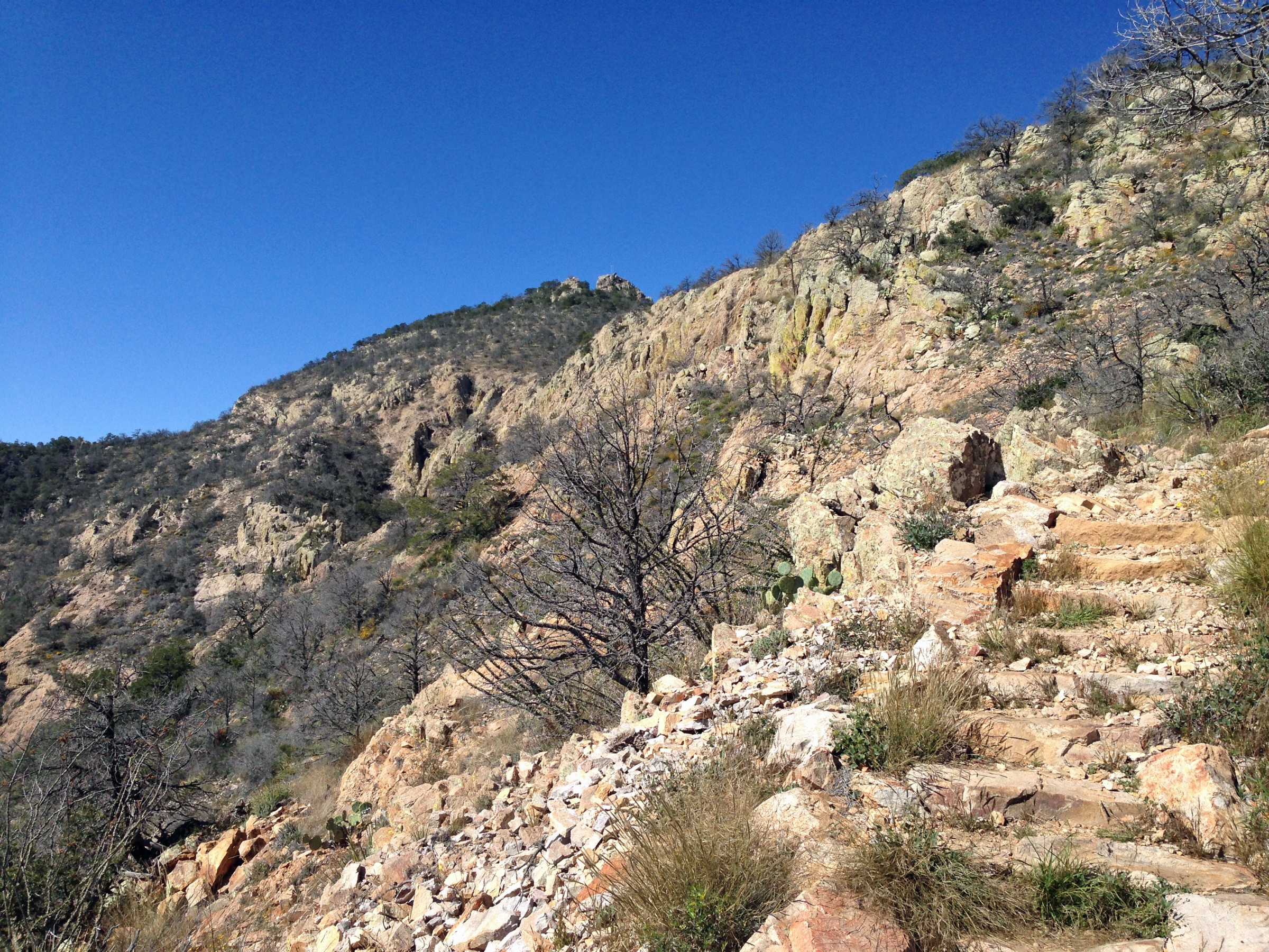
Itinerary
From Chisos Basin, the route climbs the Pinnacles Trail for about 3.5 mi to the Emory Peak junction, then follows the 1.5 mi spur toward the summit. NPS notes that the final quarter-mile is steep and that the last 25 ft involves an exposed rock scramble with hands required. Return follows the same route to the Basin.
Why it is essential
Emory Peak is the highest point in Big Bend National Park and the defining Chisos summit hike. It gives the most complete summit panorama in the range — Chisos rim, Sierra del Carmen, the Rio Grande valley and the desert basin in every direction.
Equipment
- Sturdy boots or approach-capable hiking shoes for the summit scramble
- 3 L water minimum — no reliable drinking water on the route
- Full food for a 5–7 hour day
- Sun hat, high-SPF sunscreen and sunglasses
- Warm and wind layer plus weatherproof shell
- Offline map and GPS
- Headtorch for a late finish
- Trekking poles for the descent below the final scramble
Hazards and notes
- The final 25 ft scramble is exposed and requires hands — do not attempt in wet or icy conditions.
- Long, dry route with major heat exposure; assume no water.
- Lightning risk on the summit and the Pinnacles ridge from spring through autumn.
- Pets are not allowed on trails.
GPX / route file
Sources
4. South Rim Loop
Snapshot
Itinerary
From Chisos Basin, climb either Laguna Meadow Trail or Pinnacles / Boot Canyon into the upper Chisos. The route reaches the South Rim viewpoints above the Chihuahuan Desert, then returns by the alternate trail system to close the loop. East Rim, Northeast Rim or Southeast Rim extensions add distance and may be subject to seasonal peregrine-falcon restrictions.
Why it is essential
The South Rim is the Chisos’ great balcony — the strongest high-desert panorama in Big Bend and a full-day traverse through the range’s upper forest and rim country. It is the definitive long day in the range.
Equipment
- Sturdy footwear for a long day on rocky trail
- 3–4 L water minimum — no reliable water on the loop
- Full food for a 6–9 hour day
- Sun protection and warm/wind layers
- Weatherproof shell
- Offline map and GPS
- Headtorch for a late finish
- Trekking poles for the long descent
Hazards and notes
- Major heat exposure and limited water — start at dawn.
- Rim edge is unfenced; watch footing near the drop.
- Lightning and wind on the exposed rim from spring through autumn.
- NPS seasonal peregrine-falcon closures can affect parts of the East Rim system, commonly February through May; recheck the closure page immediately before hiking.
- Pets are not allowed on trails.
GPX / route file
| Source | URL | Format | Notes |
|---|---|---|---|
| NPS Big Bend — Mountain hikes | nps.gov | Web page | Official route description with the 19.3–23.3 km range and 610 m gain |
| NPS Chisos Mountains trails map | nps.gov | Image | Source map only; no vector route file |
| NPS Big Bend — Backcountry closures | nps.gov | Web page | Current East Rim closure status |
Sources
5. Boot Canyon and Colima Loop
Snapshot
Itinerary
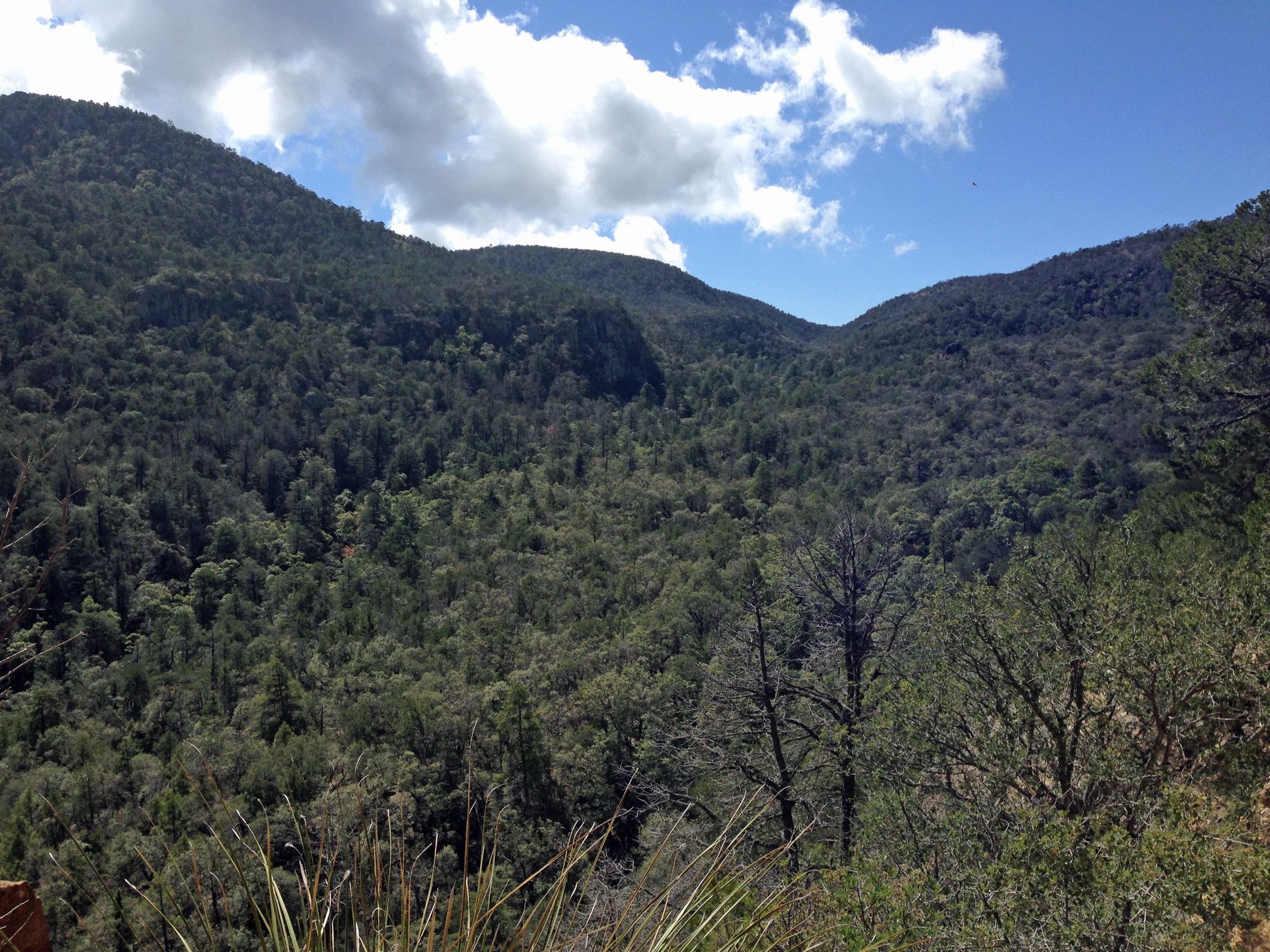
From Chisos Basin, climb the Pinnacles Trail into the upper Chisos and continue into Boot Canyon — NPS describes it as one of the lushest Chisos environments, with Arizona cypress and seasonal water. Follow the Colima Trail toward Laguna Meadow and descend back to the Basin to close the loop.
Why it is essential
This route gives the most ecological contrast in the Chisos set: dry Basin slopes, high canyon woodland, seasonal pools, cypress habitat and the quieter Colima / Laguna Meadow return. It is the range’s essential high-canyon loop.
Equipment
- Sturdy footwear and trekking poles for rough tread
- 3 L water minimum — do not rely on Boot Canyon water
- Full food for a 5–7 hour day
- Sun protection and warm/wind layers
- Weatherproof shell
- Offline map and GPS
- Headtorch for delays
Hazards and notes
- Do not rely on Boot Canyon water; carry your own.
- Heat, lightning and rough volcanic tread on the upper route.
- Shaded canyon sections can hold ice after winter storms.
- Black bears and mountain lions in the upper canyon habitat; follow NPS wildlife guidance.
- Pets are not allowed on trails.
GPX / route file
Sources
Routes excluded as out of scope
- Marufo Vega and Boquillas Canyon — outside the Chisos proper and better treated with a low-desert / river-corridor catalogue.
- Outer Mountain Loop backpack — a multi-day route from the Chisos rim down into the desert; well outside the day-hike envelope of this article.
- East Rim single-purpose out-and-back during peregrine-falcon closure — folded into the South Rim Loop entry rather than singled out, because access is season-dependent.
Further reading
- NPS Big Bend — Day hikes
- NPS Big Bend — Mountain hikes
- NPS Big Bend — Chisos Mountains backpacking trails map page
- NPS Big Bend — Current conditions
- NPS Big Bend — Backcountry closures
Missing data / follow-up work
- No official GPX, KML, GeoJSON or OSM route relation was confirmed for any of the five selected Chisos routes; route-file status rests on the NPS mountain-hikes page and the Chisos trails map image.
- Elevation gain, elevation loss and maximum elevation are approximate for all hikes except the South Rim official gain and the Emory Peak summit elevation.
- Seasonal East Rim peregrine-falcon closures must be rechecked close to publication and again immediately before travel.
- Chisos Basin parking capacity and any construction or operational changes should be rechecked before publication — the Basin has been the subject of multi-year infrastructure work.
- Water status in Boot Canyon and along the South Rim varies by season; NPS current-conditions text should be revisited before any specific trip planning.