Regional overview
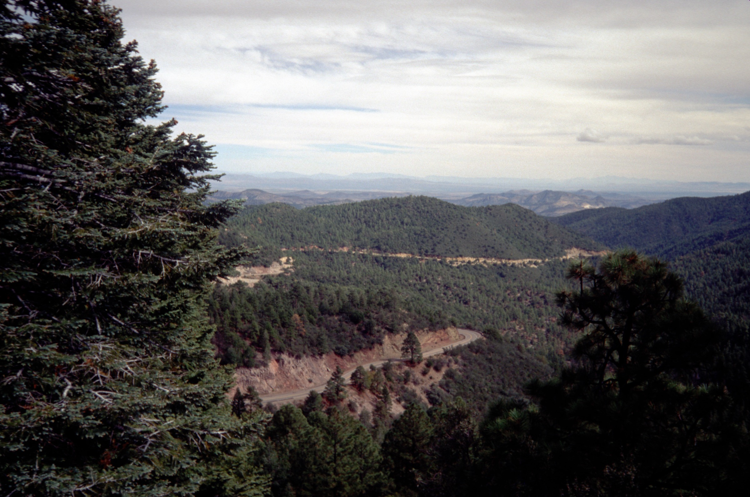
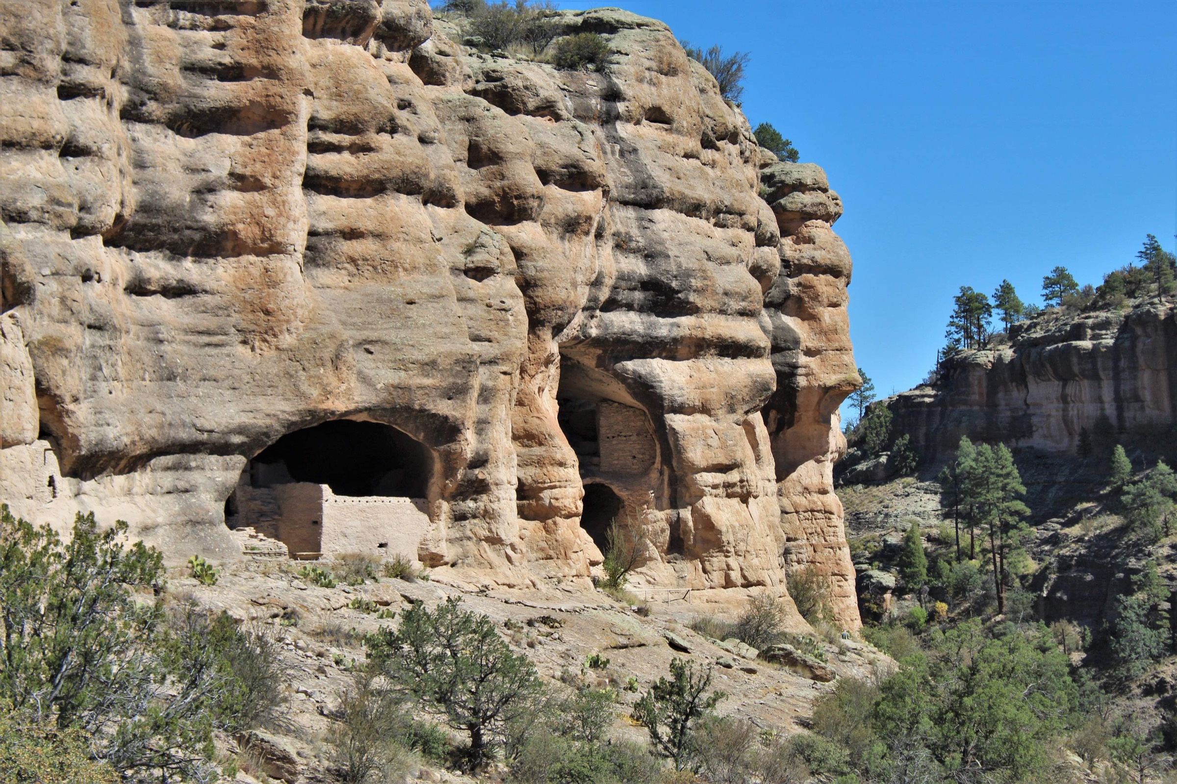
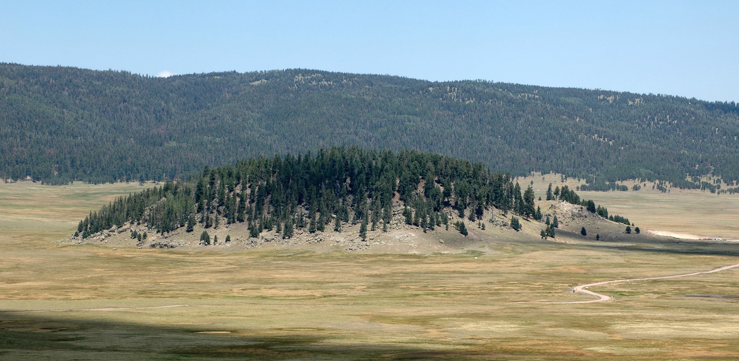
The Jemez Mountains are a volcanic highland of mesas, tuff canyons, caldera grasslands, hot springs, ponderosa forest and ancestral Pueblo cultural sites northwest of Santa Fe and Los Alamos. The hiking centre of gravity is split between Bandelier National Monument, Valles Caldera National Preserve, the NM 4 corridor and Santa Fe National Forest access around Jemez Springs.
Day hiking here is less about a single alpine crest and more about contrasting volcanic landscapes: soft Bandelier tuff with ladders and cavates, high meadows on the rim and floor of Valles Caldera, canyon routes along Frijoles Creek and the East Fork Jemez River, and exposed mesa-top archaeology at Tsankawi. Elevations are high enough for winter snow and summer lightning, while lower canyon routes can be hot and exposed.
Official NPS pages were prioritised for Bandelier and Valles Caldera. Valles Caldera warns that many trails follow old ranching and logging roads, that some routes and points of interest remain lightly marked, and that map / GPS navigation is important, especially in the backcountry. Pets are restricted in much of Valles Caldera and Bandelier; individual route rules are listed below.
For neighbouring New Mexico ranges in the same broader region, see the sister catalogues on the Sacramento Mountains and the Black Range.
See also: Sandia and Manzano Mountains · Sacramento Mountains, New Mexico.
Selection rationale
The five hikes represent the Jemez Mountains’ core day-hike themes: Bandelier’s main archaeological canyon, Tsankawi’s mesa-top cultural trail, Cerro Grande’s volcanic summit and caldera overlook, South Mountain’s longer Valles Caldera climb, and the Jemez River canyon route in Valles Caldera. Official NPS route pages or NPS search-data route listings were used for route statistics; several elevation-gain figures and route files remain unresolved and are flagged in the snapshots below and in the closing Missing data / follow-up work section.
Summary
| # | Hike | Trailhead | Route type | Distance | Gain | Max elevation | Difficulty |
|---|---|---|---|---|---|---|---|
| 1 | Pueblo Loop, Alcove House and Upper Falls | Bandelier Visitor Center / Backpacker’s Parking Lot | Linked loop and out-and-back | ~8.7 km | Unresolved (Falls Trail ~122 m one-way) | Unresolved | Moderate |
| 2 | Tsankawi Trail | Tsankawi Unit parking, NM 4 | Loop | ~2.4 km | Unresolved | Unresolved | Moderate |
| 3 | Cerro Grande Route | NM 4 Cerro Grande trailhead | Out-and-back summit | ~7.4 km | ~366 m | 3,109 m | Moderate–difficult |
| 4 | South Mountain Trail | Valles Caldera frontcountry trailhead | Out-and-back summit | ~13.2 km | Unresolved | Unresolved | Moderate–difficult |
| 5 | Jemez River Trail | Valles Caldera / Jemez River Trail | Out-and-back canyon | ~5.5 km | Unresolved | > 2,438 m regional | Easy–moderate |
1. Pueblo Loop, Alcove House and Upper Falls
Snapshot
Itinerary
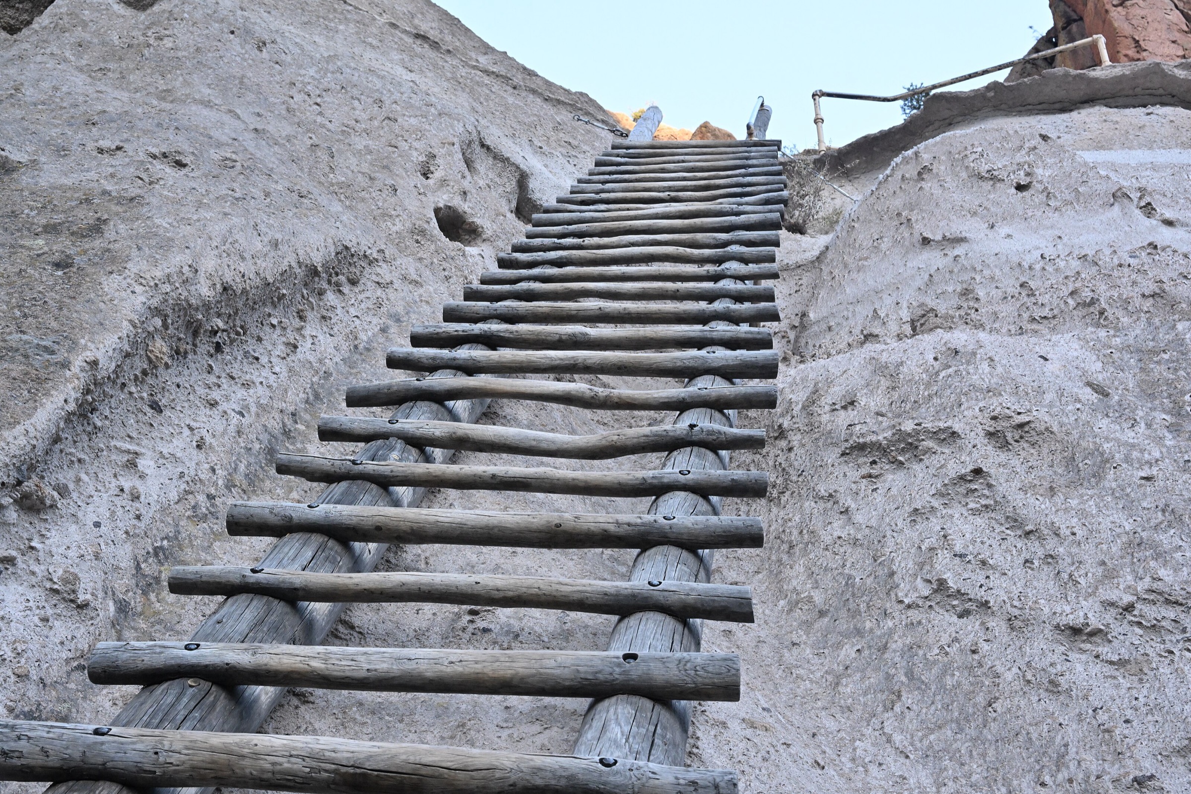
Begin with the Pueblo Loop Trail through Tyuonyi, Long House, Talus House, cavates and ladder-access features. Continue half a mile each way to Alcove House if open, then return toward the visitor area and take the Falls Trail from the Backpacker’s Parking Lot to Upper Falls. The trail beyond Upper Falls no longer continues to the Rio Grande because of post-fire and flood damage.
Why it is essential
This linked hike combines the best accessible Bandelier cultural sites with Frijoles Canyon’s volcanic geology and waterfall route — the most complete single day-hike expression of Bandelier’s archaeology-plus-canyon character.
Equipment
- Standard hiking equipment
- Grippy footwear for tuff, stone stairs and ladder rungs
- 1.5–2 L water
- Sun protection
- Warm layer in cooler months
- Microspikes after snow or freeze-thaw cycles
Hazards and notes
- Ladders and stone stairs at Alcove House with dropoffs.
- Steep dropoffs on the Falls Trail; plank bridges and canyon exposure.
- Icy winter conditions on shaded canyon sections.
- Only treated water; natural water sources should not be consumed untreated.
- Cultural-resource protection rules apply throughout.
- Alcove House and snowy trails may close temporarily; check current status.
GPX / route file
| Source | URL | Format | Notes |
|---|---|---|---|
| NPS — Pueblo Loop Trail | nps.gov | Web page | Official distance and route facts; no GPX / KML exposed |
| NPS — Alcove House | nps.gov | Web page | Official distance, ladder, height and closure facts; no GPX / KML exposed |
| NPS — Falls Trail | nps.gov | Web page | Official distance, descent, closure and hazard facts; no GPX / KML exposed |
Sources
2. Tsankawi Trail
Snapshot
Itinerary
The loop follows mesa-top and tuff paths through the Tsankawi Unit, passing cavates, petroglyphs, worn ancestral travel corridors and the village site of Tsankawi. Ladders are a required part of the trail.
Why it is essential
Tsankawi is the most distinctive mesa-top cultural hike in the Jemez Mountains and the natural complement to the canyon-focused routes in Frijoles Canyon.
Equipment
- Standard hiking equipment
- Grippy footwear for tuff and ladder rungs
- 1–1.5 L water
- Sun protection
- Warm layer in winter
Hazards and notes
- Exposed mesa walking with heights and narrow worn tuff paths.
- Ladders required — not recommended for hikers with a strong fear of heights.
- Lightning risk in summer, snow / ice in winter.
- Fragile cultural resources — stay on trail, do not touch petroglyphs.
GPX / route file
| Source | URL | Format | Notes |
|---|---|---|---|
| NPS — Tsankawi | nps.gov | Web page | Official distance, route character, fee and hazards; no GPX / KML exposed |
Sources
3. Cerro Grande Route
Snapshot
Itinerary
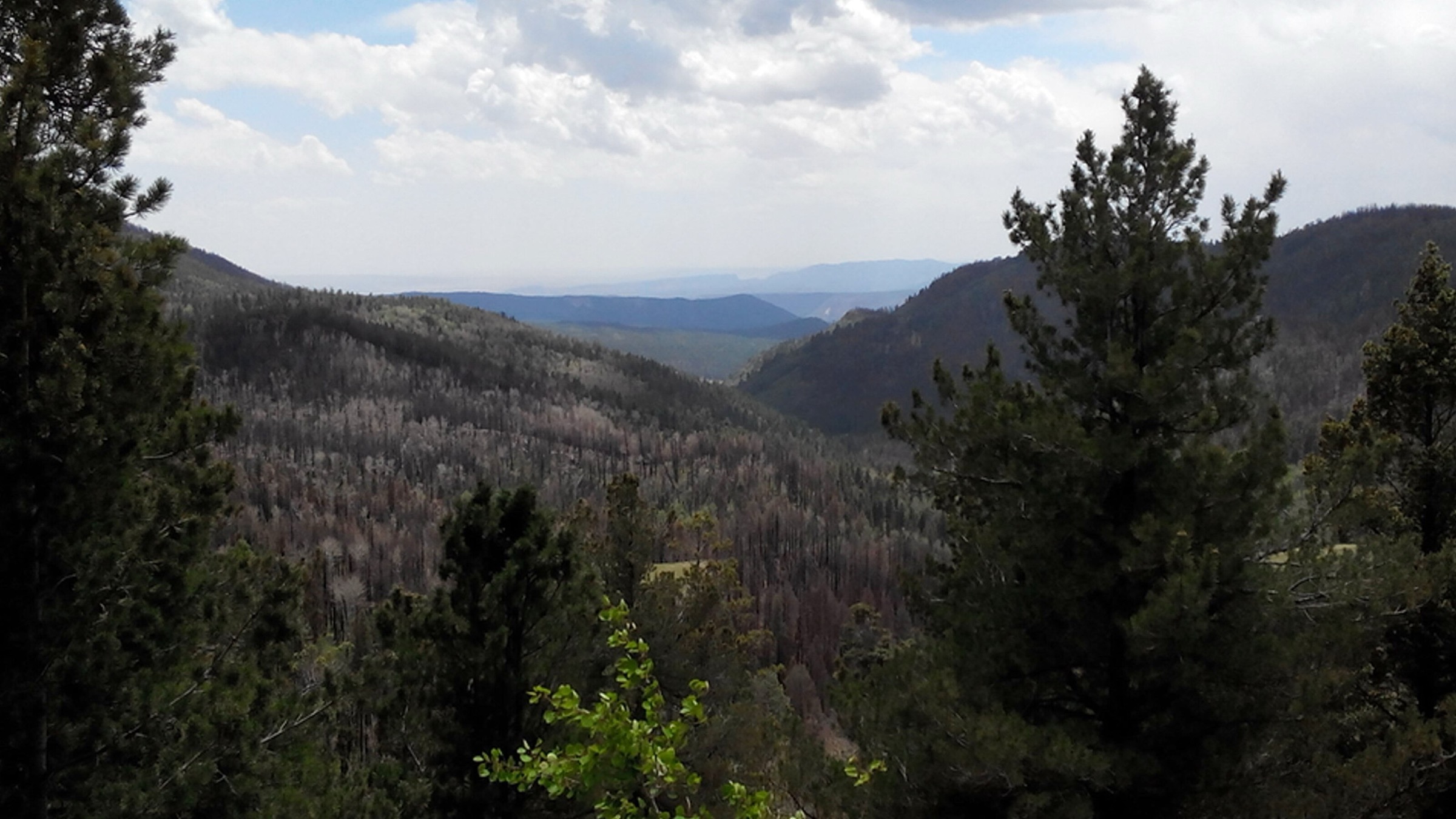
Follow the yellow-diamond-marked route from the NM 4 trailhead through mixed conifer forest and open slopes to Cerro Grande Peak. The upper route looks into Valles Caldera and across Bandelier’s lower elevations before returning by the same trail.
Why it is essential
Cerro Grande is Bandelier’s high point and one of the cleanest day-hike viewpoints over the Valles Caldera volcanic landscape.
Equipment
- Mountain hiking equipment
- 2.5–3 L water — no water on route
- Warm layer, rain shell and sun protection
- Map and offline GPS
- Trekking poles for steep or uneven ground
Hazards and notes
- No water on route.
- High elevation — expect thinner air and greater weather exposure than on the canyon trails.
- Snow and ice can linger well into spring.
- Summer thunderstorm and lightning risk on the exposed upper route.
- Burn-scar exposure and rapid weather changes.
GPX / route file
| Source | URL | Format | Notes |
|---|---|---|---|
| NPS — Cerro Grande Route | nps.gov | Web page | Official distance, gain, max elevation, route marking and hazard facts; no GPX / KML exposed |
Sources
4. South Mountain Trail
Snapshot
Itinerary
Follow the South Mountain Trail from the preserve route system to the summit area, then return by the same trail. The hike crosses open volcanic grassland and forested slopes typical of Valles Caldera.
Why it is essential
South Mountain provides the longer Valles Caldera summit objective in the set, balancing the shorter cultural and canyon trails with a sustained volcanic-landscape climb.
Equipment
- Mountain hiking equipment
- 2–3 L water — no drinking water on the preserve beyond bottled water at the entrance station
- Map and offline GPS
- Sun protection and wind / rain layer
- Navigation backup for lightly marked route sections
Hazards and notes
- Lightly marked routes — Valles Caldera warns that many trails follow old ranch and logging roads, which can confuse navigation.
- No potable water beyond bottled water at the entrance station.
- Monsoon lightning is hazardous on exposed volcanic terrain.
- Pets are not permitted on this route per the NPS listing.
GPX / route file
Sources
5. Jemez River Trail
Snapshot
Itinerary
Follow the Jemez River Trail, formerly Hidden Valley Trail, into a canyon along the East Fork Jemez River. Return by the same route from the signed or mapped turnaround.
Why it is essential
This hike represents the Jemez Mountains’ river-canyon character inside the caldera system, contrasting with Bandelier’s tuff archaeology and the open volcanic summit routes.
Equipment
- Standard hiking equipment
- 1.5–2 L water — do not drink natural water untreated
- Sun protection
- Rain layer during monsoon season
- Map and offline GPS
Hazards and notes
- No untreated natural water should be consumed without boiling or treatment.
- Confusing old road traces and limited signage — carry navigation backup.
- High-elevation dehydration, lightning and burn-area hazards.
- Flash flooding possible in drainages during monsoon storms.
- Pets are not permitted on the Jemez River Trail per the NPS listing.
GPX / route file
Sources
Region-level sources
| Source | URL |
|---|---|
| NPS — Bandelier National Monument | nps.gov |
| NPS — Bandelier, Pueblo Loop Trail | nps.gov |
| NPS — Bandelier, Alcove House | nps.gov |
| NPS — Bandelier, Falls Trail | nps.gov |
| NPS — Bandelier, Tsankawi | nps.gov |
| NPS — Bandelier, Cerro Grande Route | nps.gov |
| NPS — Valles Caldera National Preserve, Hiking | nps.gov |
| NPS — Hike the South Mountain Trail | nps.gov |
| NPS — Hike the Jemez River Trail | nps.gov |
| Wikimedia Commons — Category: Jemez Mountains | commons.wikimedia.org |
Further reading
- Sacramento Mountains — essential day-hikes — the high sky-island range above Alamogordo and White Sands, further south in New Mexico
- Black Range — essential day-hikes — the remote Aldo Leopold Wilderness range on the Continental Divide, southwestern New Mexico
Missing data / follow-up work
- No official GPX / KML downloads were found for the five routes in this pass; route geometry can be reconstructed from OpenStreetMap or CalTopo.
- Licence-compatible photos for individual routes were not verified; route photos on NPS pages (some credited to Sally King) need media-rights confirmation before reuse.
- South Mountain and Jemez River Trail elevation gain / loss and max elevation need map-derived verification.
- Bandelier seasonal shuttle / access rules should be checked before publication and before each visit.
- Valles Caldera backcountry vehicle pass and gate-hour details may affect South Mountain access and need current confirmation.