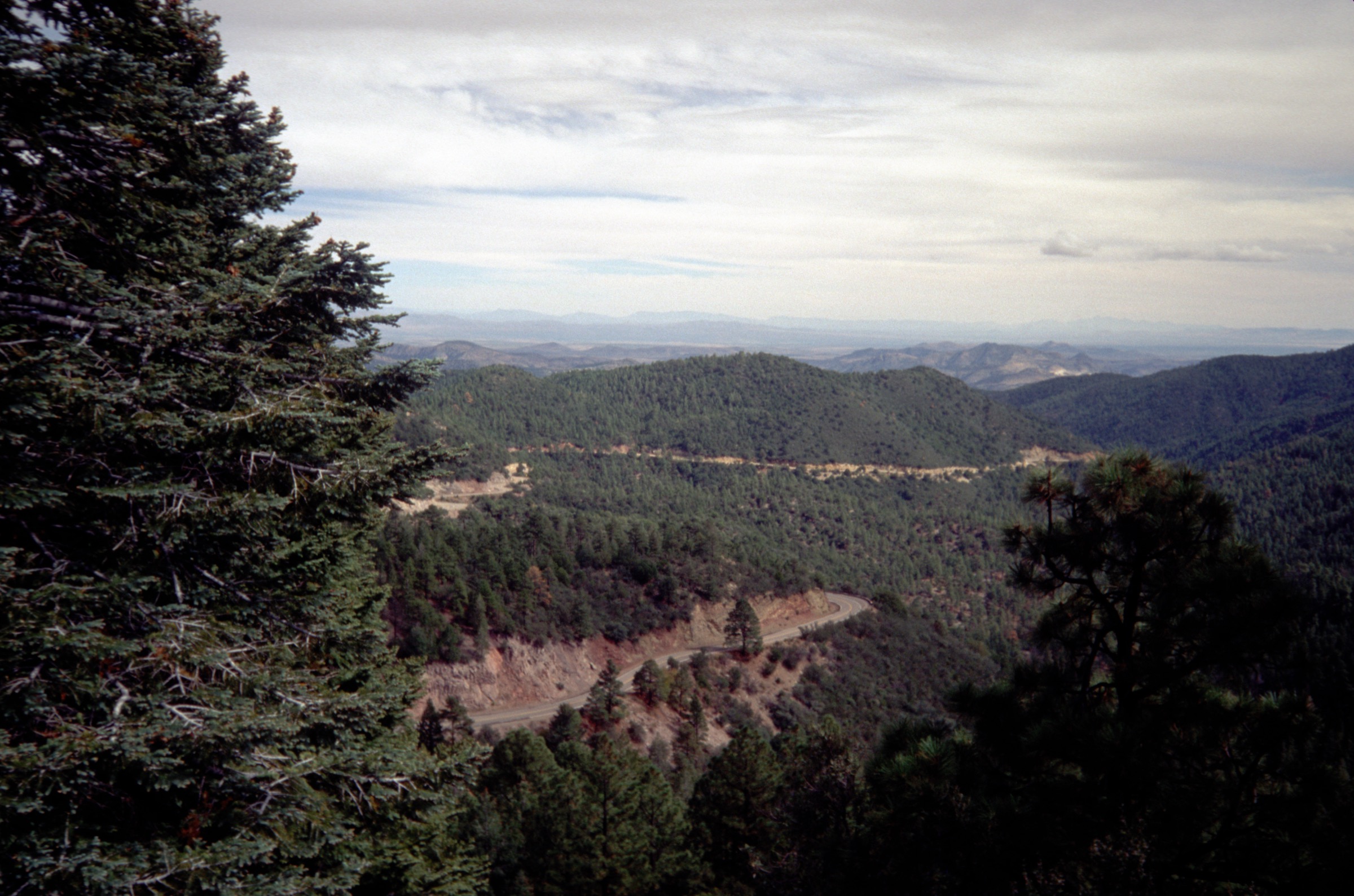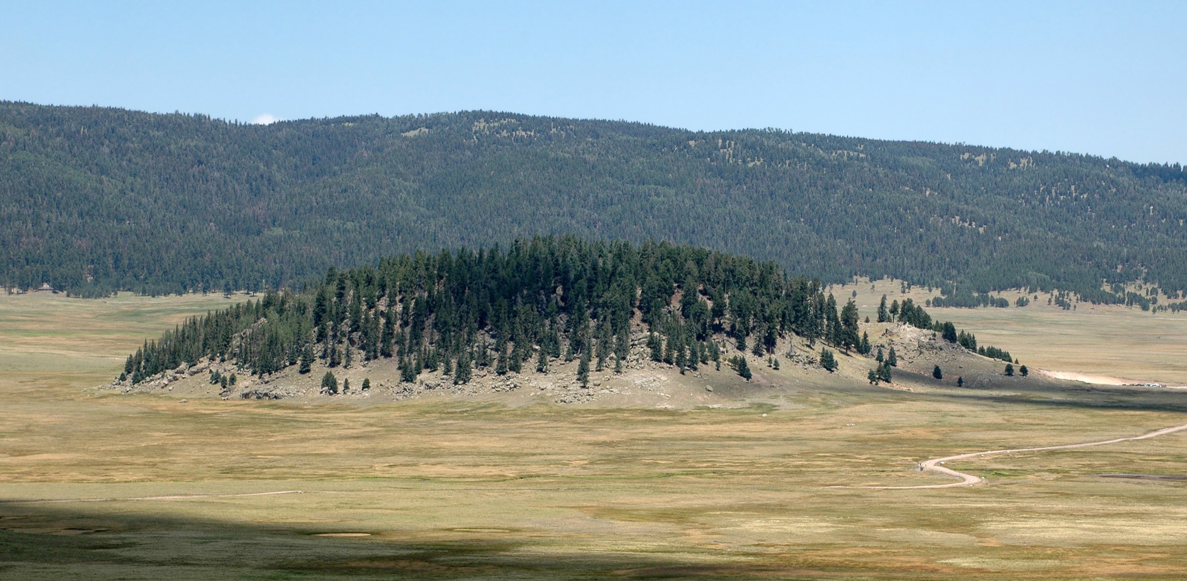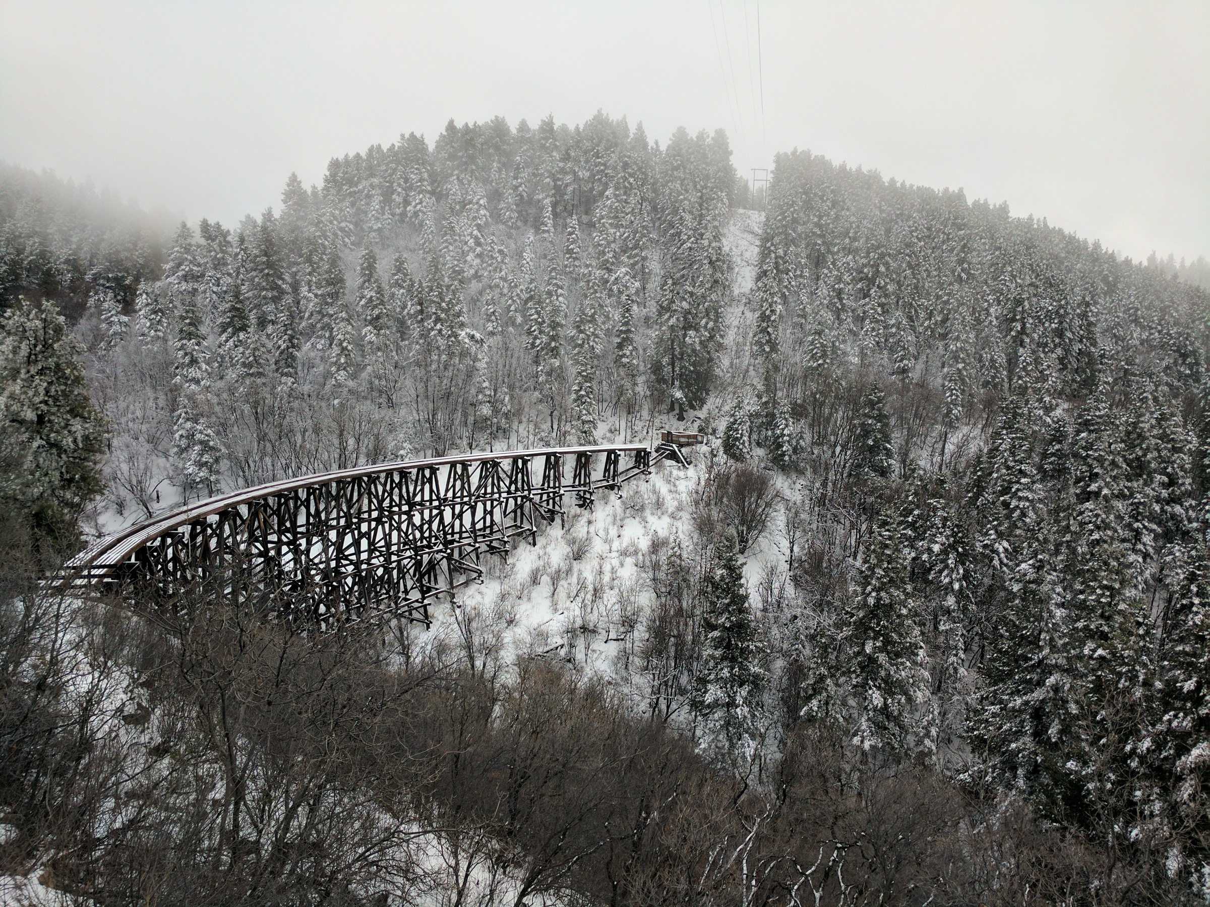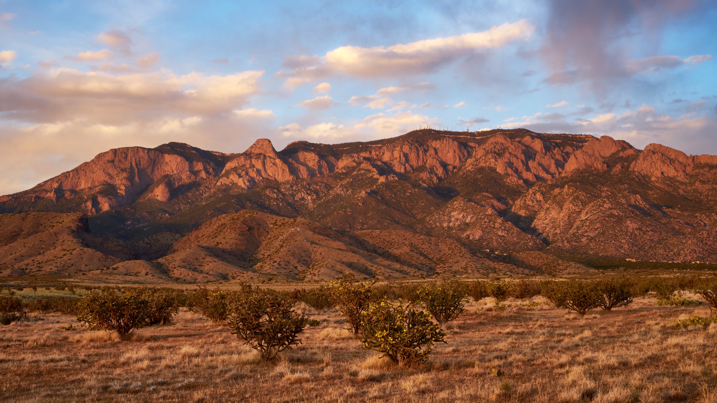
Regional overview
The Gila Wilderness is the core wild mountain-and-canyon landscape of southwestern New Mexico, centred on the Gila River headwaters, the Mogollon Mountains, the Gila Cliff Dwellings area, and remote high-country access from Willow Creek and the Whitewater / Catwalk side. Day hiking here is unusually rugged for the Southwest: several of the routes below are deliberate day-section turnarounds on very long wilderness trails, not the full trail as published by the Forest Service.
The defining walking character is river-canyon travel, repeated water crossings, hot exposed lower canyons, high forested Mogollon summits, and very limited services. Official Gila National Forest trail rows repeatedly note that route descriptions do not fully account for current trail conditions, and burned areas may include erosion, washouts, standing dead hazard trees, and fallen trees. The Whitewater-Baldy and other fire histories make current-condition checks essential.
The Gila Cliff Dwellings National Monument adds the region’s key cultural day hike, while the nearby Middle Fork, Little Bear, Whitewater Baldy, and Catwalk routes give the wilderness canyon and high-country experience. Public transport is not a practical access basis for any of these; private vehicle access, road conditions, seasonal closures, and flood or fire restrictions must be checked before travel.
See also: Sandia and Manzano Mountains · Sacramento Mountains, New Mexico.
Selection rationale
The five hikes cover the required Gila Wilderness themes: a protected archaeological site, a Middle Fork river-canyon day section, a classic wilderness side canyon from T.J. Corral, a high Mogollon summit route, and the Whitewater / Catwalk gateway into the northwestern Gila. Official NPS and Forest Service route pages were prioritised. Several entries are marked partially verified because the official sources give full-trail lengths but not cumulative day-hike gain/loss or downloadable GPX.
Summary table
| # | Hike | Start point | Type | Distance | Difficulty | Notes |
|---|---|---|---|---|---|---|
| 1 | Gila Cliff Dwellings Trail | WNPA Bookstore trailhead | Loop | 1.6 km / 1 mi | Moderate (short) | Uneven masonry steps; site rules apply |
| 2 | Middle Fork Gila River Trail 157 (day section) | Middle Fork Trailhead near Cliff Dwellings | Out-and-back turnaround | Suggested 9.7–16.1 km / 6–10 mi | Moderate–difficult | Full trail 66.6 km / 41.4 mi one-way |
| 3 | Little Bear Trail 729 to Middle Fork | T.J. Corral Trailhead | Out-and-back | 14.2 km / 8.8 mi return | Moderate–difficult | Based on 4.4 mi one-way official length |
| 4 | Whitewater Baldy Trail 172 from Willow Creek | Willow Creek Trailhead | Out-and-back summit | 20.9 km / 13.0 mi return | Difficult | Summit ~3,322 m / 10,899 ft |
| 5 | Catwalk NRT 207 + Whitewater Canyon extension | Catwalk Trailhead | Out-and-back | 2.4 km / 1.5 mi (Catwalk) + optional extension | Easy–moderate | Full Whitewater Trail 27.0 km / 16.8 mi one-way |
Essential day-hikes
1. Gila Cliff Dwellings Trail
Snapshot
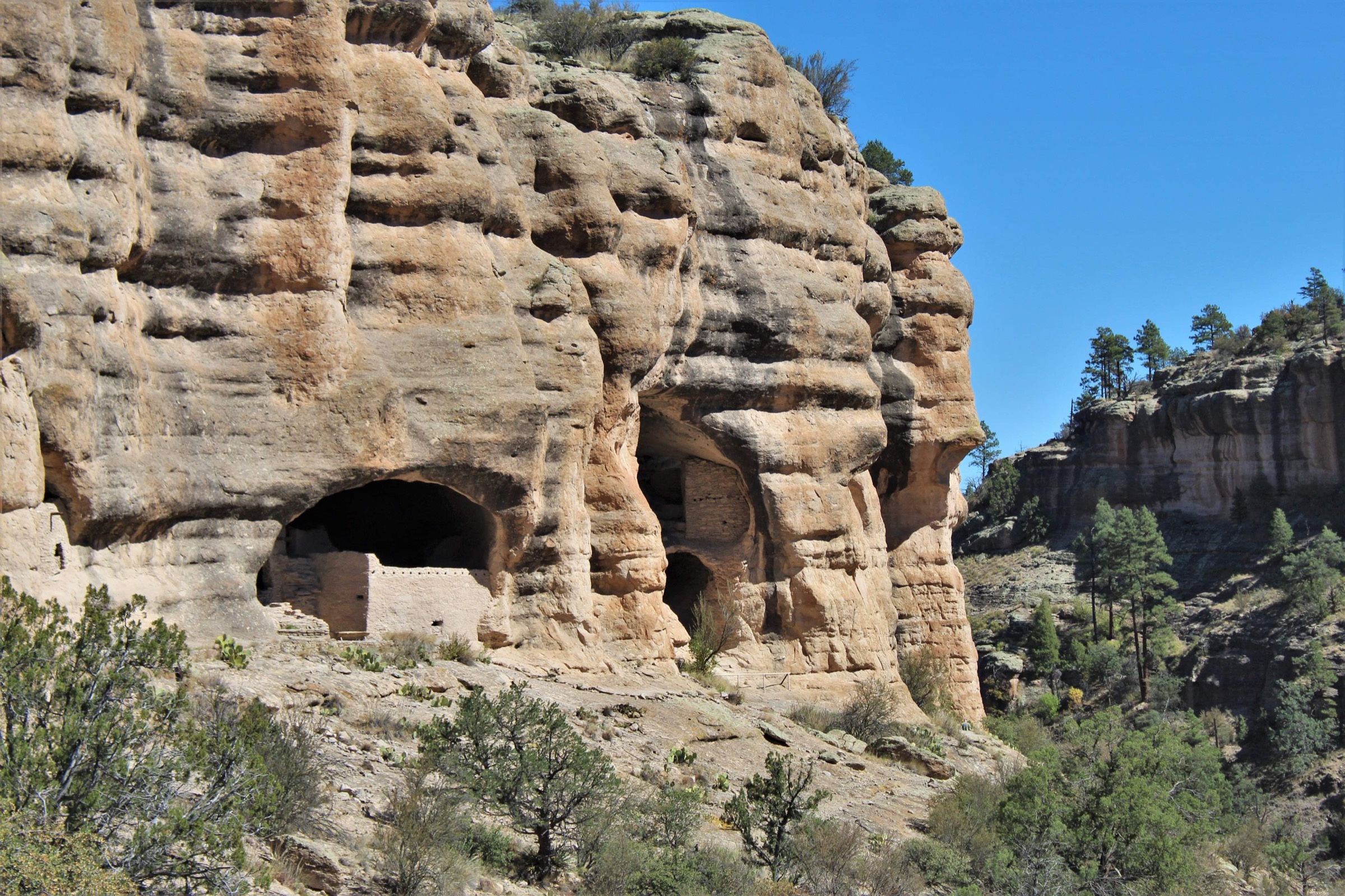
Itinerary. Start at the trailhead beside the WNPA Bookstore and follow the unpaved loop up Cliff Dweller Canyon to the natural caves containing the Mogollon dwellings. The route climbs uneven masonry steps without handrails, enters three of the six caves, and returns by loop trail.
Why it is essential. This is the cultural anchor of the Gila region and the one short hike that directly connects the wilderness setting with the area’s protected Mogollon dwellings.
Equipment. Standard hiking equipment, sturdy footwear, water (only water is permitted on the trail), sun protection, and traction devices in icy winter conditions.
Hazards and notes. No food, flavoured drinks, gum, tobacco products, vaping devices, pets, or drones on the trail. Do not enter closed rooms or touch structures or artifacts. Summer heat can exceed 32 °C / 90 °F; winter snow and ice are possible. Free first-come-first-served kennels are available at the trailhead per NPS but are not monitored by park staff. The monument is open 9:00 AM–4:00 PM daily per the NPS page checked on 2026-07-13 (last trail entry at 3:59 PM); confirm current hours before travel.
GPX / route file. No downloadable GPX or KML is exposed by the NPS page. The official route description carries the reference distance and ascent.
Sources. NPS — Hike to the Cliff Dwellings; NPS — Gila Cliff Dwellings basic information.
2. Middle Fork Gila River Trail 157 (day section)
Snapshot
Itinerary. From Middle Fork Trailhead, follow Trail 157 upstream into the Middle Fork Gila River canyon. Treat the day hike as a turnaround based on daylight, river crossings, weather, and group pace — do not attempt the full wilderness trail.
Why it is essential. The Middle Fork is the archetypal Gila Wilderness river-canyon day hike, with water, cliff walls, riparian vegetation, and direct access from the Cliff Dwellings area.
Equipment. Mountain hiking equipment, footwear suitable for wet crossings, map/GPS, 2–3 L water plus treatment, food, sun protection, rain layer, emergency kit, and a dry bag for essentials.
Hazards and notes. River crossings, flash floods, cold water, heat, poison ivy in riparian areas, rattlesnakes, limited rescue, and possible post-fire deadfall or washouts. Check current river and weather conditions locally.
GPX / route file. No official GPX/KML is exposed by the USFS trail table. Use the official trail row as the reference: Gila NF — Trails.
Sources. Gila NF — Trails; Gila NF — Gila Wilderness Area.
3. Little Bear Trail 729 to Middle Fork
Snapshot
Itinerary. From T.J. Corral, follow Little Bear Trail 729 through central Gila Wilderness terrain toward the Middle Fork Gila River. Return by the same trail unless a separate shuttle or mapped Middle Fork linkup has been planned and verified.
Why it is essential. Little Bear is one of the best day-sized side-canyon entries into the Middle Fork country, giving a more wilderness-oriented experience than the short monument trail.
Equipment. Mountain hiking equipment, map/GPS, water and treatment, food, sun protection, rain layer, sturdy footwear, and emergency kit.
Hazards and notes. Wilderness navigation, flash-flood-prone canyon terrain, possible deadfall/washouts, heat, limited water away from canyon flow, and limited communications.
GPX / route file. No official GPX/KML is exposed. Reference: Gila NF — Trails (T.J. Corral / Little Bear Trail 729).
Sources. Gila NF — Trails.
4. Whitewater Baldy Trail 172 from Willow Creek
Snapshot
Itinerary. From Willow Creek, follow Whitewater Baldy Trail 172 toward Whitewater Baldy Peak, the high summit of the Mogollon Mountains. Return by the same route unless a longer wilderness traverse has been separately planned.
Why it is essential. Whitewater Baldy is the high-country counterpoint to the Gila river-canyon hikes and reaches the highest Mogollon summit inside the wilderness area.
Equipment. Mountain hiking equipment, map/GPS, headtorch, food, 3 L water or a reliable treatment plan, warm and waterproof layers, sun protection, first-aid kit, and traction if snow remains.
Hazards and notes. Long remote summit day, possible post-fire deadfall and erosion, snow and ice at height, lightning, rough road access via the Willow Creek / Bursum Road side, limited water, and limited rescue options.
GPX / route file. No official GPX/KML is exposed. Reference: Gila NF — Trails (Whitewater Baldy Trail 172).
Sources. Gila NF — Trails; Whitewater Baldy — secondary summit context (use only for summit elevation until replaced with a primary topographic source).
5. Catwalk National Recreation Trail 207 and Whitewater Canyon extension
Snapshot
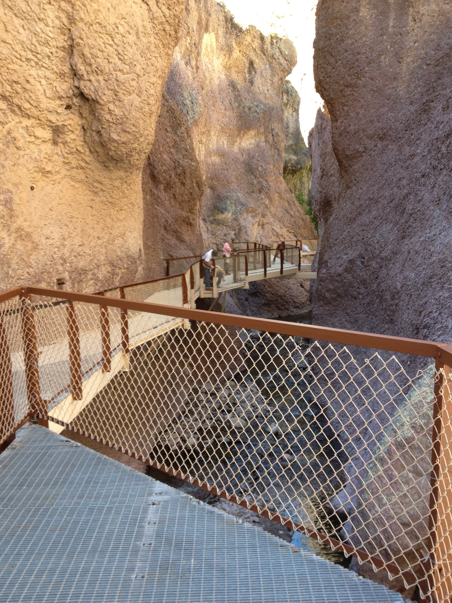
Itinerary. Follow Catwalk National Recreation Trail 207 through Whitewater Canyon’s constructed walkway section. For a longer wilderness-gateway day, continue only as far onto Whitewater Trail 207.1 as conditions, daylight, and water and weather risk allow, then return the same way.
Why it is essential. Although the Catwalk sits at the northwestern gateway rather than deep in the statutory wilderness, it is the most accessible and iconic Whitewater Canyon day hike and connects directly to the Gila Wilderness trail system.
Equipment. Standard hiking equipment for Catwalk; add map/GPS, extra water, food, and emergency kit if continuing beyond the developed section.
Hazards and notes. Day-use restrictions, canyon flash-flood risk, heat, rockfall and washed-out trail risk after storms, and route seriousness that increases quickly beyond the Catwalk. Whitewater Trail 207.1 is a long wilderness trail and should not be treated casually.
GPX / route file. No official GPX/KML is exposed. Reference: Gila NF — Trails (Catwalk NRT 207 / Whitewater Trail 207.1).
Sources. Gila NF — Trails.
Routes considered but excluded as out of scope
- Full-length Middle Fork or Whitewater Trail 207.1 through-hikes. These are wilderness backpacking trips, not day hikes. Only conservative day-section turnarounds appear above.
- Cross-Gila wilderness traverses (e.g. Middle Fork end-to-end, or CDT sections in Gila). Multi-day objectives outside the day-hike remit.
- Off-trail Mogollon high-country routes. Route-finding across post-fire deadfall zones is a separate mountaineering-style objective.
Further reading
- Gila National Forest — Trails — canonical route table with lengths, trailheads, and condition caveats.
- Gila National Forest — Gila Wilderness Area — wilderness overview and access notes.
- NPS — Gila Cliff Dwellings National Monument — cultural-site rules, hours, and route description.
- Sister catalogue: USA — Black Range, New Mexico for the range immediately east of the Gila across the Aldo Leopold Wilderness.
- Sister catalogue: USA — Sacramento Mountains, New Mexico for the southern New Mexico mountain counterpart.
Missing data and follow-up work
- No official GPX or KML downloads were found for any of these routes in this pass. The Middle Fork and Whitewater / Catwalk day-section turnarounds need field-checked or map-derived tracks before publication of shipped GPX.
- Elevation gain and loss are unresolved for every route except the NPS Cliff Dwellings loop.
- Maximum elevation is unresolved for hikes 1, 2, 3, and 5; the Whitewater Baldy summit elevation is currently sourced from Wikipedia and should be replaced with a primary topographic source.
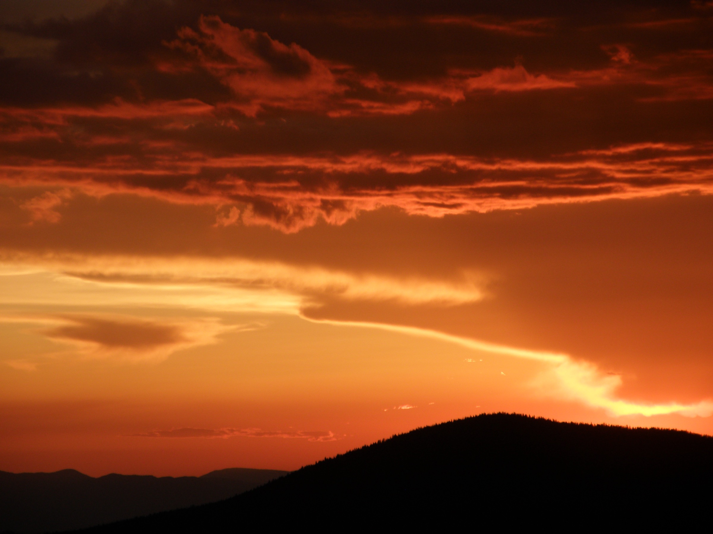
- Licence-compatible route-specific photos are still needed for Middle Fork, Little Bear, and Whitewater Baldy — the current pass only verified images of the Cliff Dwellings, a broad Gila Wilderness sunset, and the Catwalk itself.
- Current trail condition, water levels, road access (especially the Willow Creek / Bursum Road side), fire restrictions, and flood risk require local confirmation shortly before publication or travel.