Regional overview
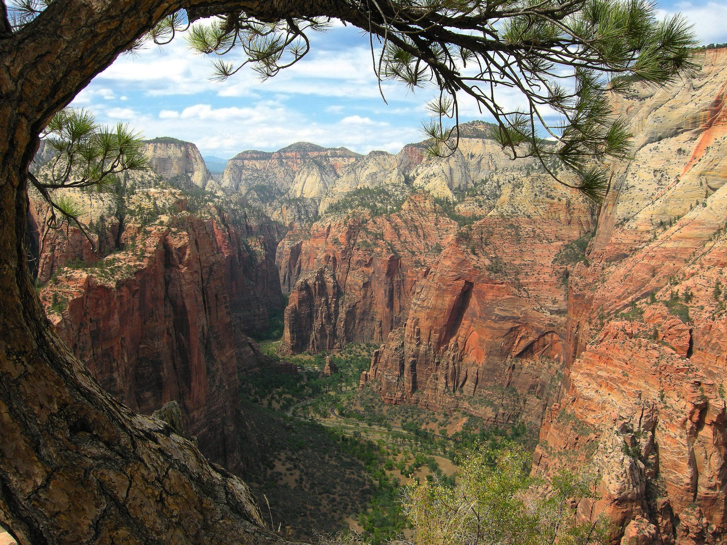
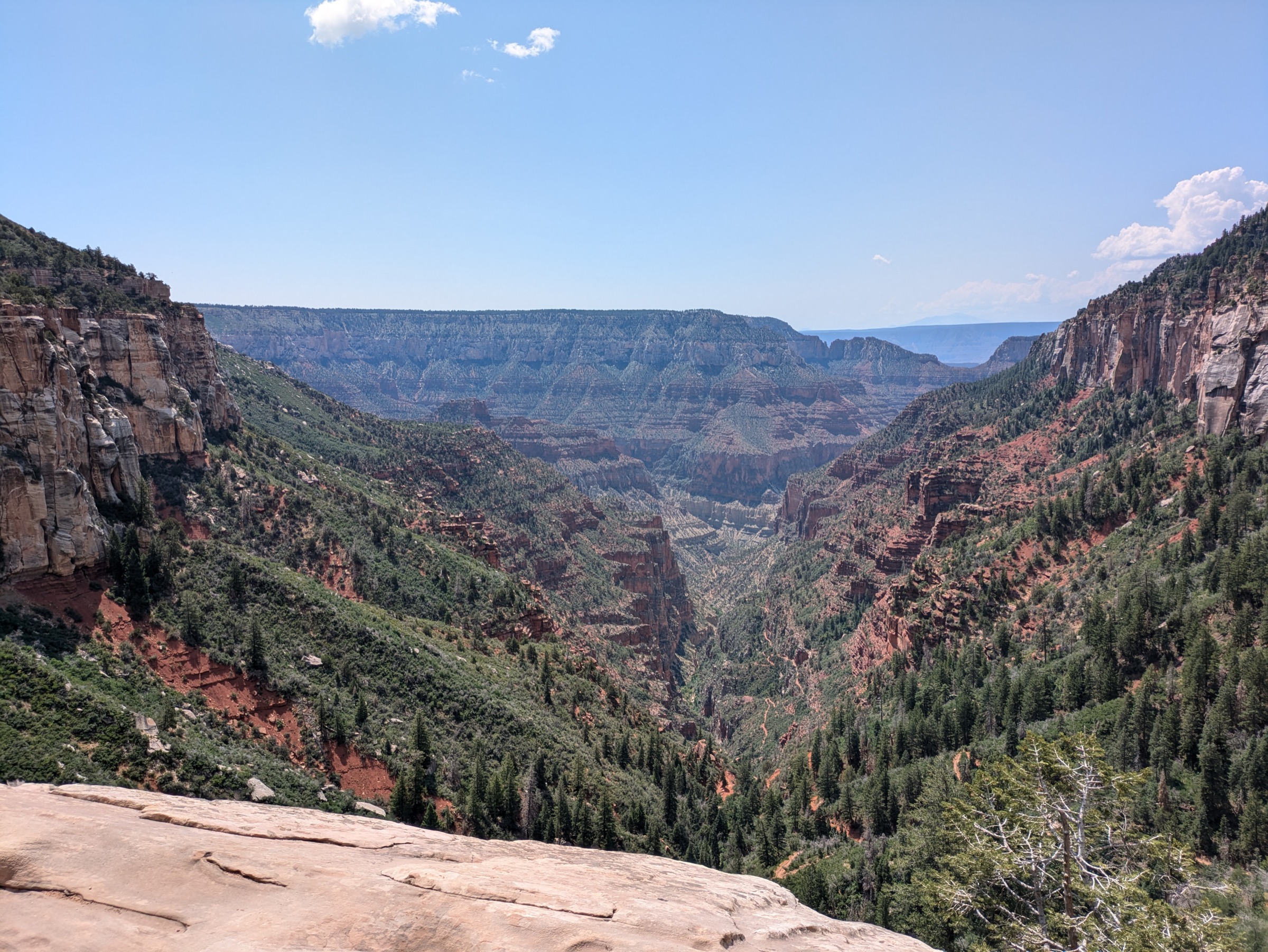
Grand Canyon day-hiking is defined by extreme vertical relief, exposed desert descents, rim-level forest walks, shuttle-linked South Rim viewpoints and seasonal North Rim / Kaibab Plateau access. The two rims are effectively two different trips. The South Rim — administered by the National Park Service with free in-park shuttles — is open year-round and carries the great majority of the park’s day-hikers on the maintained corridor trails (Bright Angel, South Kaibab, North Kaibab) and the long Rim Trail. The North Rim on the Kaibab Plateau is higher, forested and seasonal, and in the 2026 season carries reduced day-hiking options because of Dragon Bravo Fire impacts. NPS currently lists North Kaibab and Cape Final as available North Rim day-hike routes in its day-hiking guidance.
Water and heat are the two dominant hazards below the rim: mid-summer temperatures on the river corridor routinely exceed 45 °C / 115 °F, seasonal water taps on Bright Angel and North Kaibab have failed repeatedly in recent years, and NPS is explicit that any attempt to hike from the rim to the river and back in a single day is unsafe. Above the rim, thin desert air, altitude, sudden lightning storms, winter ice on the upper trails, and mule traffic on the corridor routes are the additional recurring risks. Carry all water in and out, start early, and treat trail taps as unreliable.
Sibling catalogues on the wider Colorado Plateau include Zion and Kolob Canyons; on the Arizona sky-islands side, the Chiricahua, Huachuca and Pinaleño guides cover the Madrean alternatives to the south.
Selection rationale
The five walks below sample both rims and the two experiences the canyon offers — the top-down corridor descent into the geology and the rim traverse across the plateau surface. South Kaibab to Skeleton Point is the classic open-ridge inner-canyon day-hike. Bright Angel to Havasupai Gardens is the maintained-corridor counterpart with shade, resthouses and (usually) seasonal water. The South Rim Trail from South Kaibab Trailhead to Hermits Rest is the flagship non-descending day-hike, easily broken up with shuttle bailouts. North Kaibab to Roaring Springs is the only maintained trail into the canyon from the North Rim and the day-hike sampler of the Kaibab Plateau-to-inner-canyon transition. Cape Final rounds out the set with a compact Walhalla Plateau viewpoint that survives the 2026 fire closures.
Summary table
| # | Hike | Country | Route type | Distance | Gain | Max elevation | Difficulty |
|---|---|---|---|---|---|---|---|
| 1 | South Kaibab Trail to Skeleton Point | USA | Out-and-back | 9.7 km / 6 mi | ~628 m / 2,060 ft | 2,213 m / 7,260 ft | Strenuous |
| 2 | Bright Angel Trail to Havasupai Gardens | USA | Out-and-back | 14.5 km / 9 mi | ~927 m / 3,040 ft | 2,088 m / 6,850 ft | Strenuous |
| 3 | Rim Trail — South Kaibab TH to Hermits Rest | USA | Point-to-point | ~21 km / 13 mi | Minor undulation | ~2,079 m / 6,820 ft | Easy to moderate |
| 4 | North Kaibab Trail to Roaring Springs | USA | Out-and-back | 15 km / 9.4 mi | 930 m / 3,050 ft | ~2,512 m / 8,241 ft | Very strenuous |
| 5 | Cape Final Trail | USA | Out-and-back | 6.4 km / 4 mi | ~64 m / 210 ft | ~2,450 m / 8,050 ft | Moderate |
1. South Kaibab Trail to Skeleton Point
Snapshot
Itinerary
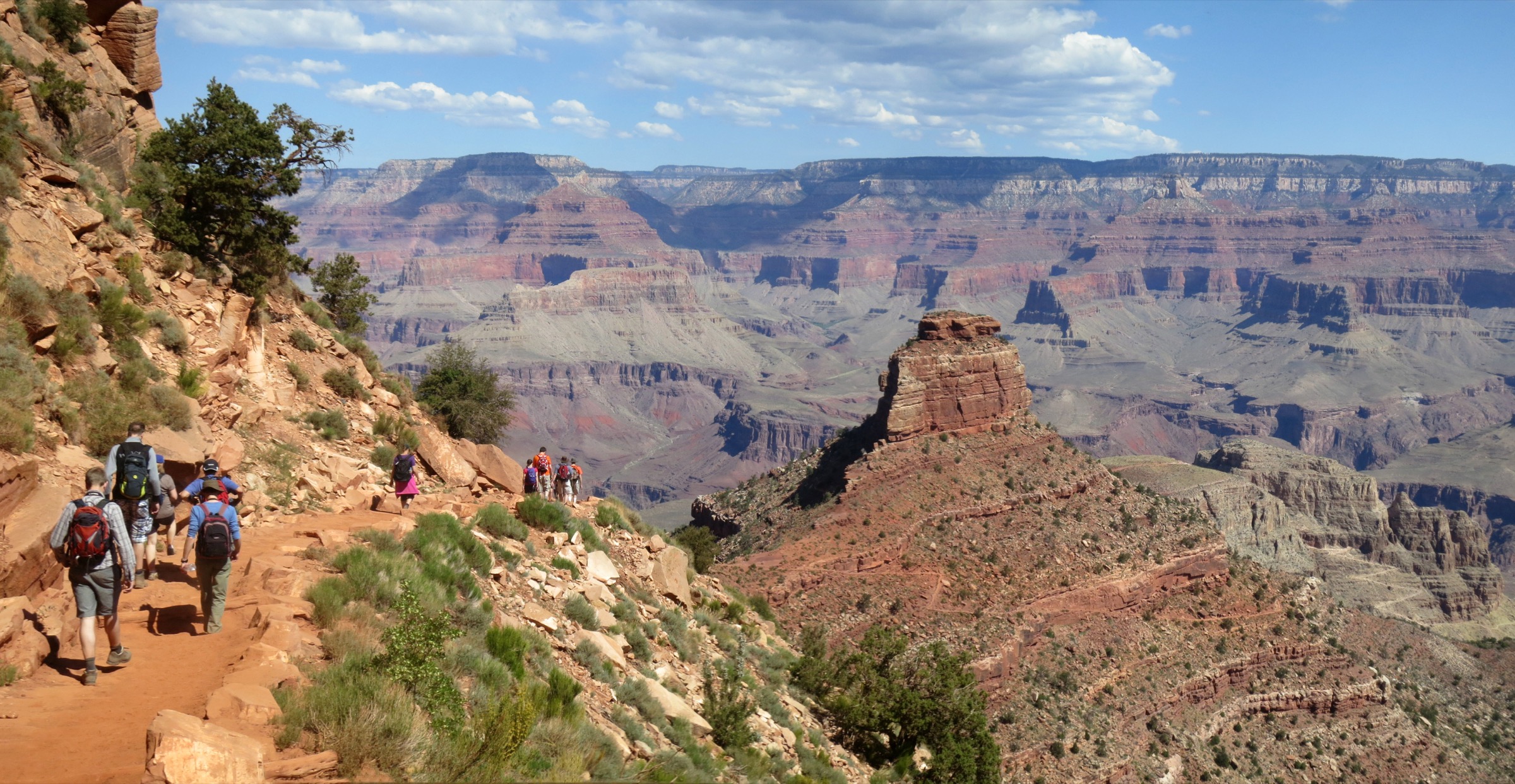
Take the park shuttle to the South Kaibab Trailhead. Descend the maintained but steep ridge trail via Ooh Aah Point and Cedar Ridge to Skeleton Point, the first major view toward the Colorado River, then return the same way.
Why it is essential
South Kaibab is the classic open-ridge inner-canyon day-hike, with wide canyon views and less shade or water than Bright Angel. Skeleton Point is the standard strenuous day-hike turnaround.
Equipment
- All the water you will drink — 3 L minimum in cool weather, more in warm
- Salty food and full day-hike calories
- Sun hat, sunscreen and sunglasses
- Warm layer for cool-season starts
- Sturdy footwear with good grip
- Offline map or paper backup
- Microspikes in winter and early spring
Hazards and notes
- Steep dirt trail; very little shade; no water anywhere on the route.
- Heat illness risk — start at dawn in warm months and turn around at Cedar Ridge in summer.
- Mule traffic — yield uphill of the trail.
- Icy upper section in winter and early spring.
- NPS explicitly warns against going beyond Cedar Ridge as a summer casual hike.
GPX / route file
| Source | URL | Format | Notes |
|---|---|---|---|
| NPS — South Kaibab Trail PDF | nps.gov | Official trail table and turnaround guidance | |
| NPS — day hiking guidance | nps.gov | Web page | Corridor-trail policy and hazards |
| AllTrails — South Kaibab to Skeleton Point | alltrails.com | Web page | Cross-check only; proprietary geometry |
Sources
2. Bright Angel Trail to Havasupai Gardens
Snapshot
Itinerary
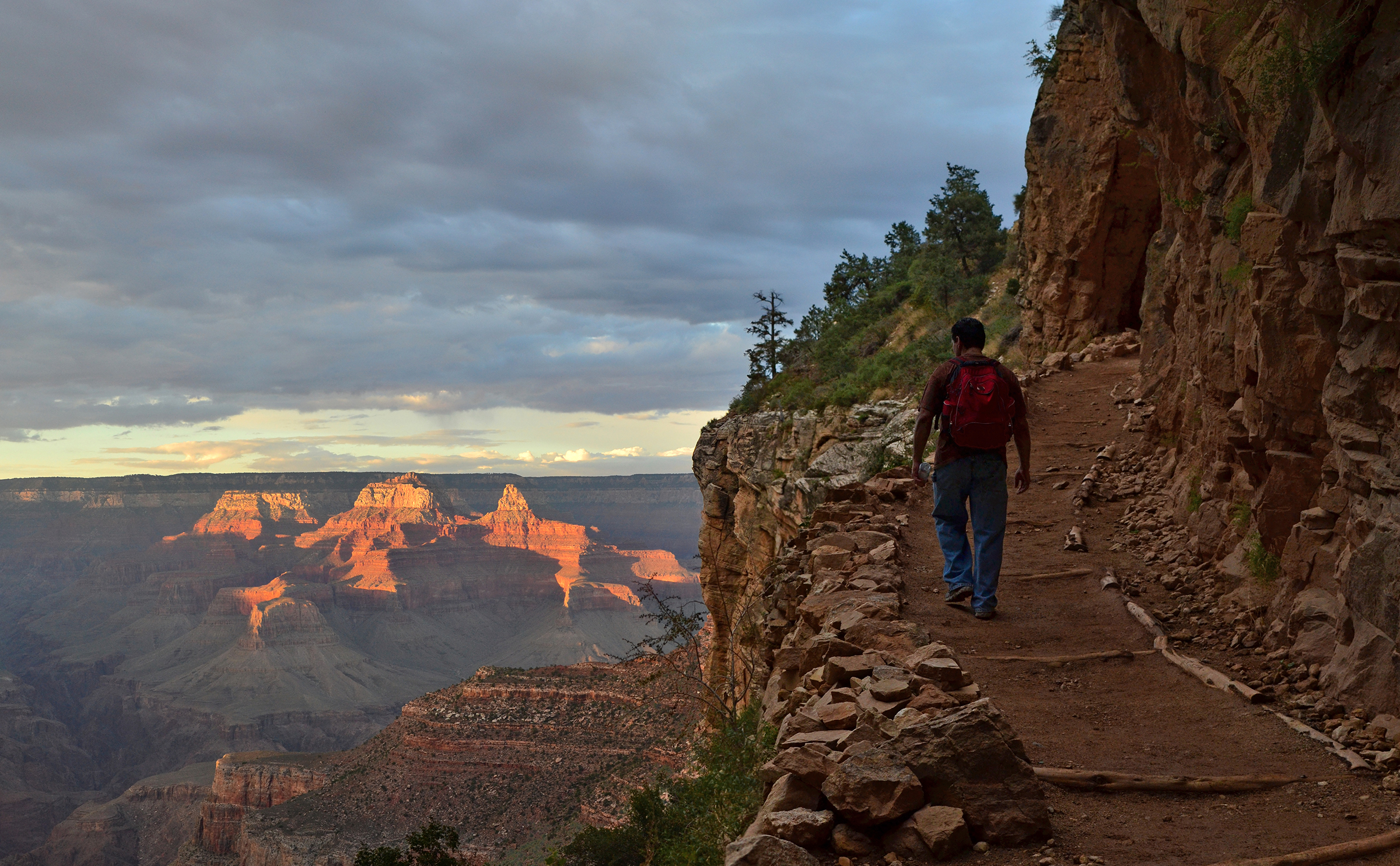
Descend the historic Bright Angel corridor past the 1.5 Mile and 3 Mile Resthouses to Havasupai Gardens, then climb back to the South Rim on the same trail.
Why it is essential
Bright Angel is Grand Canyon’s classic maintained corridor trail, with shade, resthouses, seasonal water, Havasupai history and a safer ascent option than South Kaibab in hot conditions.
Equipment
- Carry water even when trail taps are expected to operate — 3 L minimum
- Salty food and full day-hike calories
- Sun hat, sunscreen and sunglasses
- Warm layer for cool-season starts
- Headtorch — the last of the climb often happens in twilight
- Sturdy footwear
- Microspikes in winter and early spring
Hazards and notes
- Heat illness on the ascent — the deceptive downhill start becomes a long climb.
- Mule traffic along the entire corridor.
- Seasonal water is subject to pipeline breaks — never rely on it.
- Icy winter or early-spring upper trail.
- NPS explicitly warns against continuing past Havasupai Gardens as a summer day-hike.
GPX / route file
Sources
3. Rim Trail — South Kaibab Trailhead to Hermits Rest
Snapshot
Itinerary
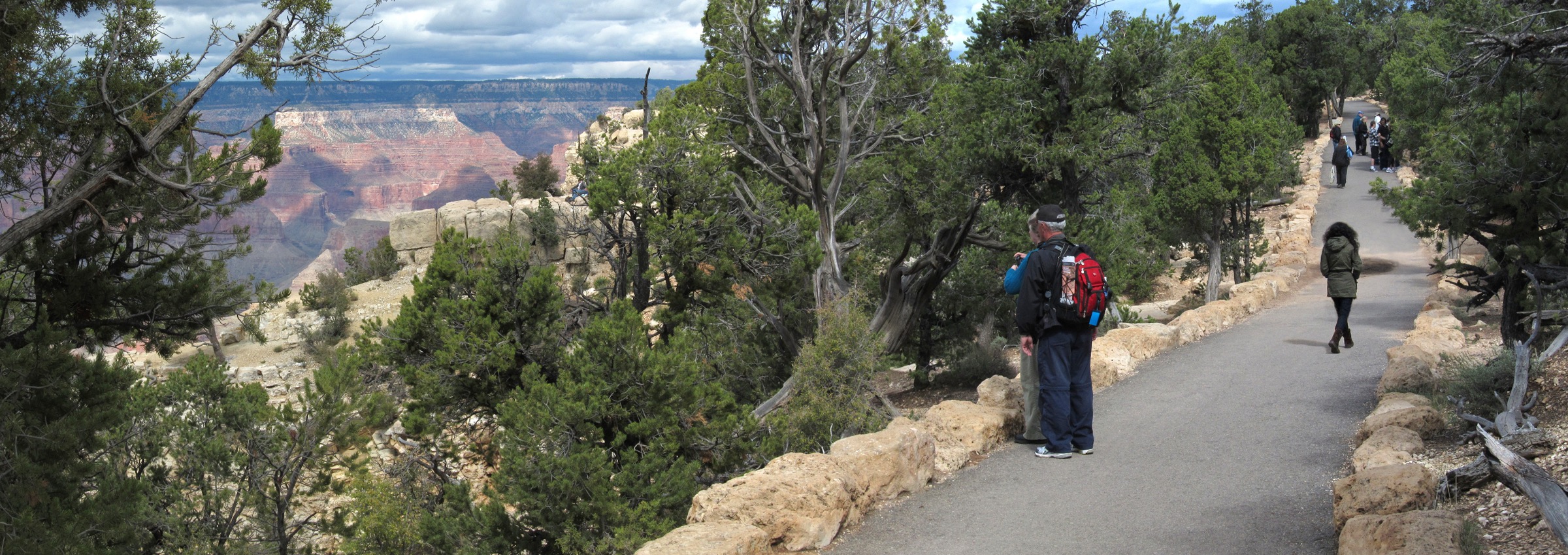
Follow the South Rim edge from the South Kaibab Trailhead west through Mather Point, Yavapai Point, the Village area and the Hermit Road viewpoints to Hermits Rest. Shuttle stops on the Village Route and Hermit Road allow a shorter one-way finish at any of the intermediate viewpoints.
Why it is essential
The Rim Trail is the best non-descending Grand Canyon day-hike, combining major viewpoints, geology interpretation, historic South Rim infrastructure and shuttle bailout options.
Equipment
- Water
- Sun hat, sunscreen and sunglasses
- Layered clothing — the rim gets cold in wind
- Snacks or full lunch
- Traction devices in icy winter conditions
Hazards and notes
- Rim exposure at viewpoints — keep well back of drop-offs.
- Afternoon lightning in summer.
- Winter ice on stone-slab sections.
- No potable water west of Bright Angel Lodge except at Hermits Rest.
- Hermit Road shuttle generally operates 1 March to 30 November; private vehicles are only allowed in winter and only when the road is passable.
GPX / route file
Sources
4. North Kaibab Trail to Roaring Springs
Snapshot
Itinerary
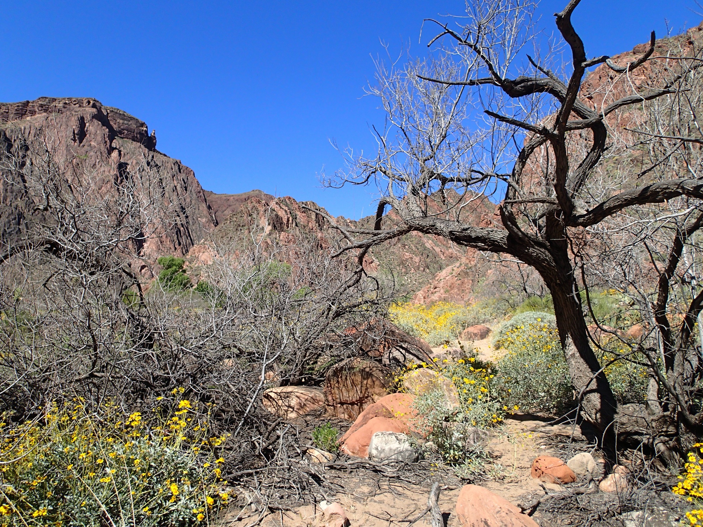
Descend from the high Kaibab Plateau forest into Roaring Springs Canyon via Coconino Overlook and Supai Tunnel, turning around at Roaring Springs.
Why it is essential
This is the only maintained trail into the canyon from the North Rim and the key day-hike sampler of the Kaibab Plateau-to-inner-canyon transition.
Equipment
- Early start — dawn or before
- 3 L water plus food and salt
- Sun hat, sunscreen and sunglasses
- Warm layers for the high rim
- Sturdy footwear
- Headtorch for a late finish
- All water carried in from Jacob Lake in the 2026 season — no potable water on the North Rim
Hazards and notes
- Major climb back to the rim; treat as a whole-day commitment.
- Heat illness risk in the inner canyon.
- Mule traffic; stock use has been suspended in 2026 pending recovery.
- NPS explicitly recommends against day-hiking beyond Roaring Springs.
- In 2026, several nearby North Rim trails are closed because of Dragon Bravo Fire impacts; NPS lists North Kaibab as still available for day-hikers.
GPX / route file
| Source | URL | Format | Notes |
|---|---|---|---|
| NPS — day hiking guidance | nps.gov | Web page | Official North Kaibab table and turnaround guidance |
| AllTrails — North Kaibab to Roaring Springs | alltrails.com | Web page | Cross-check only; proprietary geometry |
Sources
5. Cape Final Trail
Snapshot
Itinerary
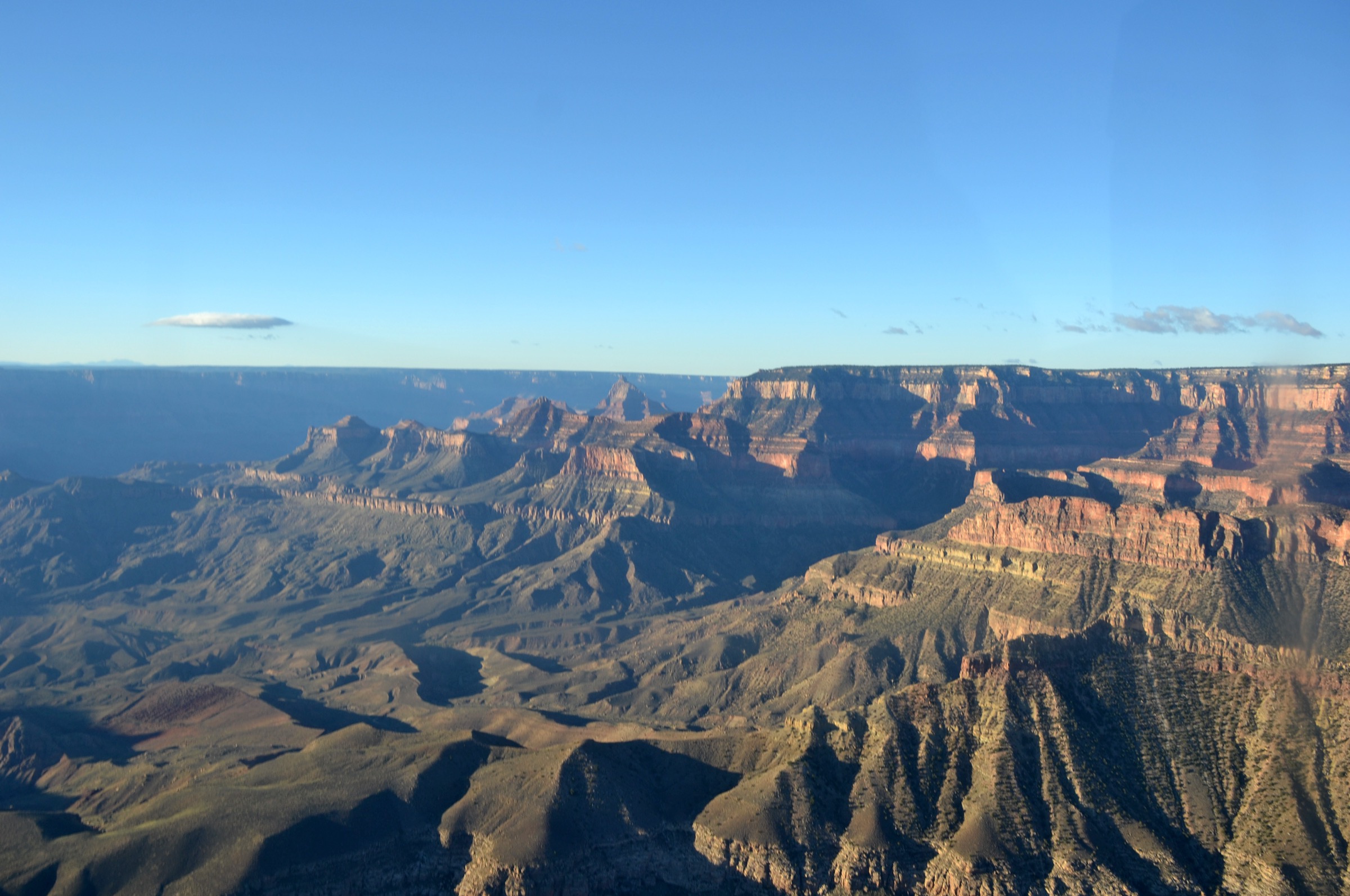
Walk through Kaibab Plateau ponderosa forest to Cape Final, a quiet eastern Grand Canyon rim viewpoint on the Walhalla Plateau.
Why it is essential
A compact North Rim / Kaibab Plateau hike with high-forest approach, broad canyon views and none of the vertical punishment of the inner-canyon trails. Cape Final remains one of the flagship North Rim day-hikes still open in the 2026 fire-recovery season.
Equipment
- Water — no source on the trail
- Sun and rain layers
- Sun hat, sunscreen and sunglasses
- Offline map
- All North Rim water carried in from Jacob Lake in 2026
Hazards and notes
- No water on the trail.
- Rim exposure at the viewpoint.
- High-elevation weather — sudden thunderstorms and lightning in summer.
- Cape Royal Road access is condition-dependent.
GPX / route file
| Source | URL | Format | Notes |
|---|---|---|---|
| NPS — day hiking guidance | nps.gov | Web page | Official Cape Final distance and time |
Sources
Routes excluded as out of scope
- Rim-to-river and Rim-to-Rim itineraries — NPS is explicit that these belong to a backpack, not a day-hike.
- Bright Angel Point, Widforss, Transept, Uncle Jim, Ken Patrick (west of Cape Royal Road) — closed for the 2026 season pending Dragon Bravo Fire recovery.
- Tonto Trail and other unmaintained inner-canyon connectors — treated as backpacking terrain.
Further reading
- NPS — Grand Canyon day-hiking guidance
- NPS — South Kaibab Trail (PDF)
- NPS — Bright Angel Trail (PDF)
- NPS — Rim Trail (PDF)
- NPS — Rim Trail map (PDF)
- Zion and Kolob Canyons catalogue
Missing data / follow-up work
- No downloadable GPX or KML was verified for any of the five routes; route statistics rely on NPS trail PDFs and the NPS day-hiking page checked 2026-07-13.
- Exact elevation gain and loss for the Rim Trail full route are not verified; the trail undulates around a mean rim elevation.
- Cape Final elevation data (gain, loss, max) are from secondary sources; backfill from USGS quad data.
- 2026 North Rim conditions — closures, no-potable-water status and Cape Royal Road access should be re-confirmed on the NPS day-hiking page immediately before travel.
- A duplicate earlier draft exists at
content/articles/usa-colorado-plateau-grand-canyon-kaibab-plateau-essential-day-hikes/under the old region taxonomy; it should be reconciled with this article.