Regional overview
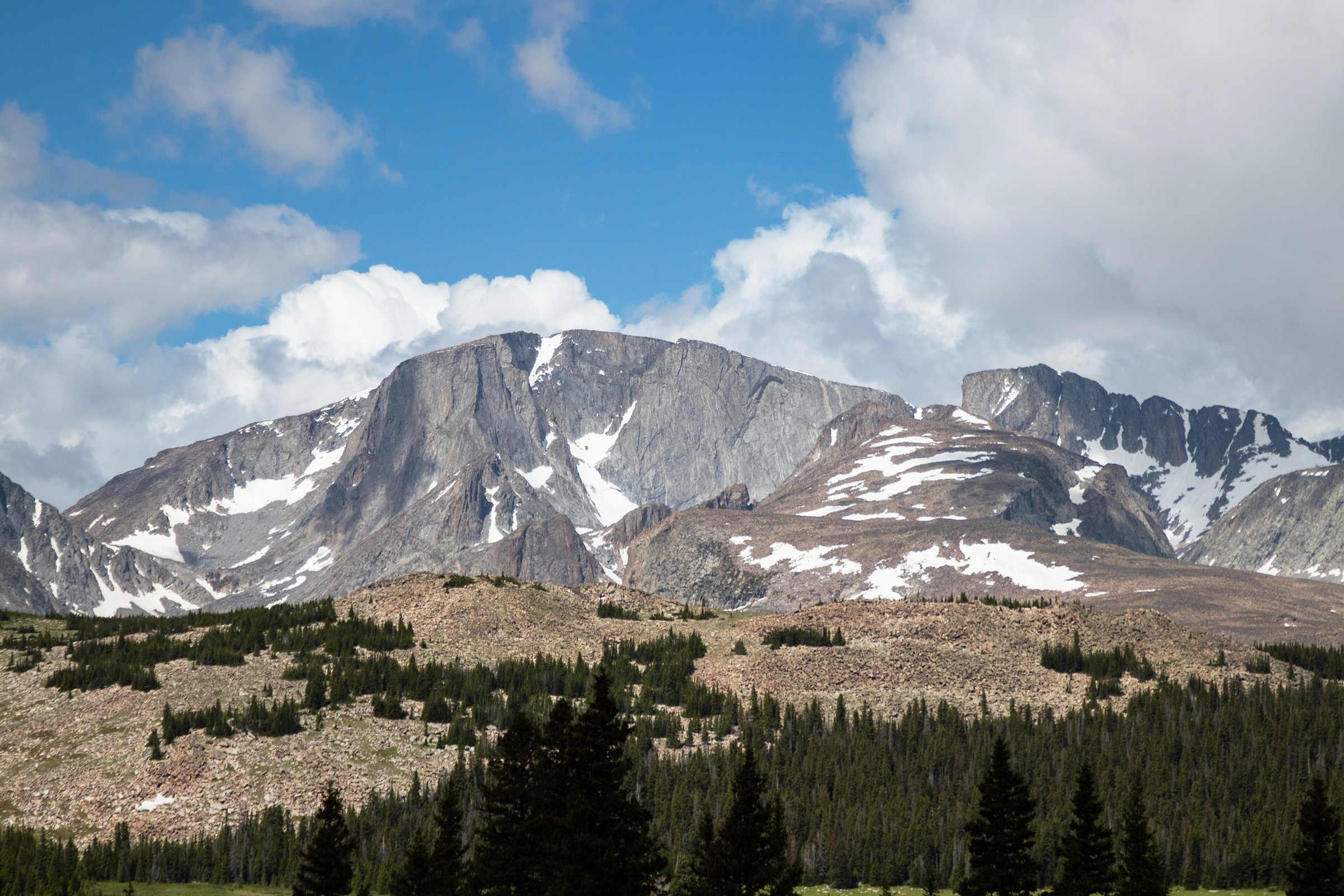
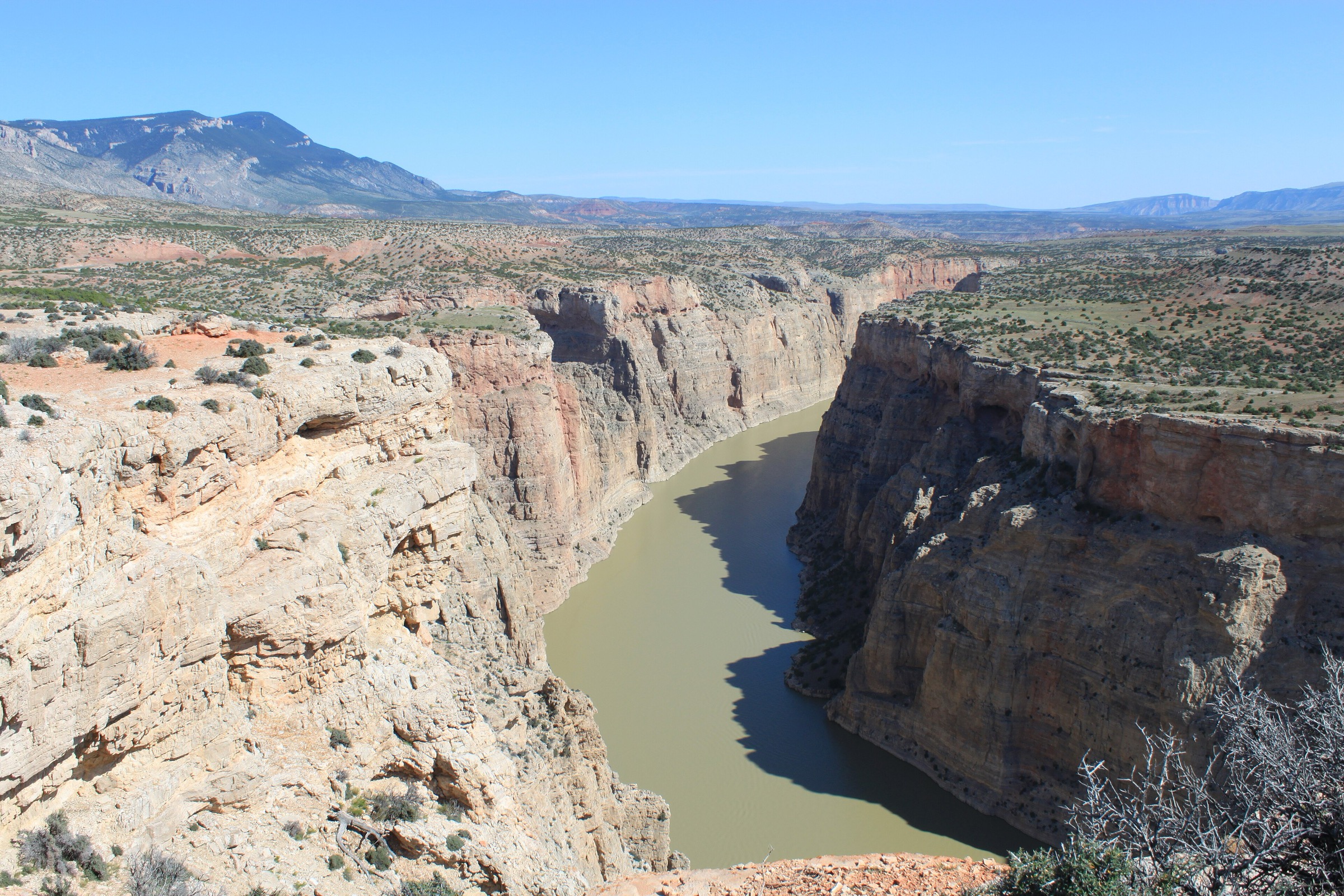
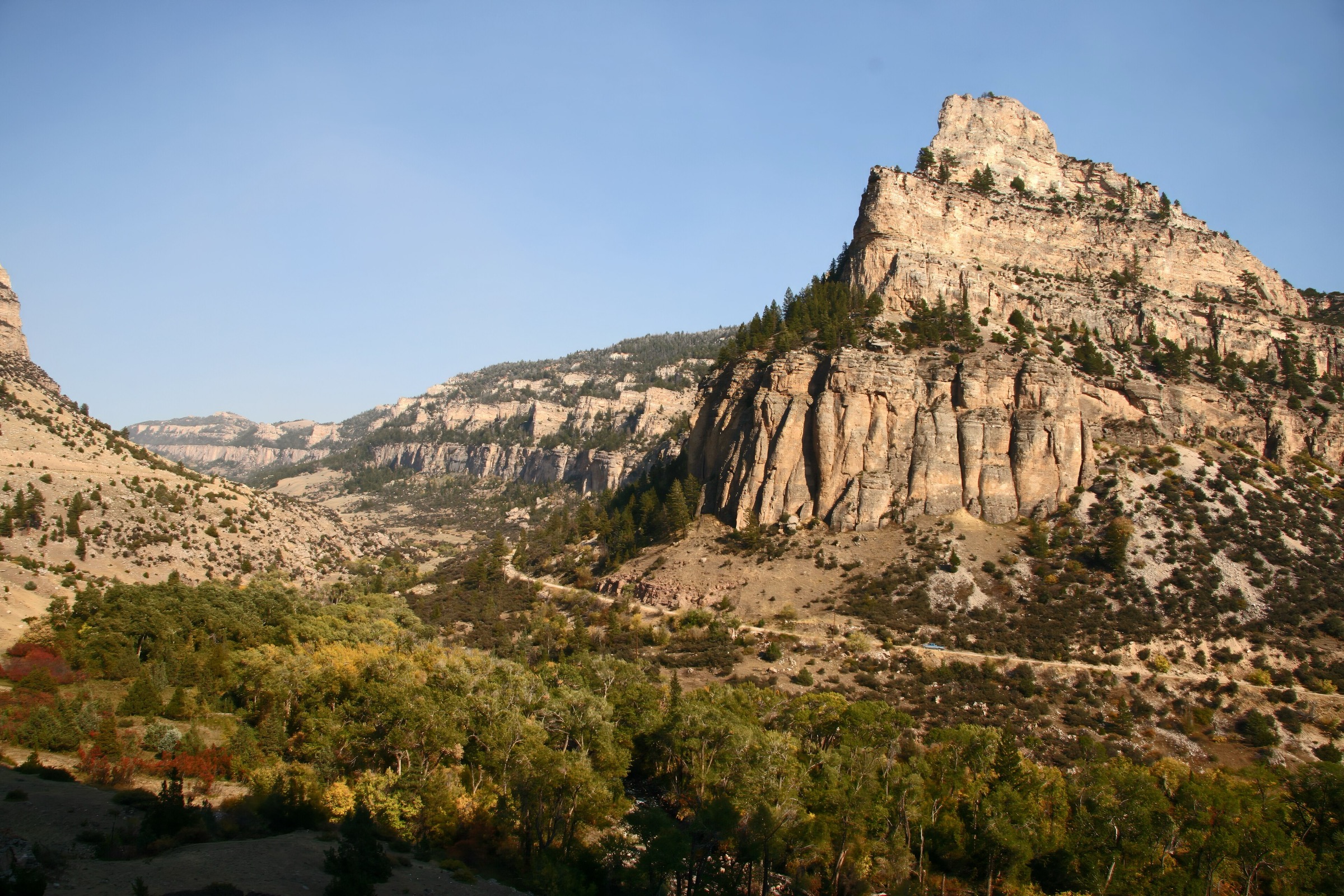
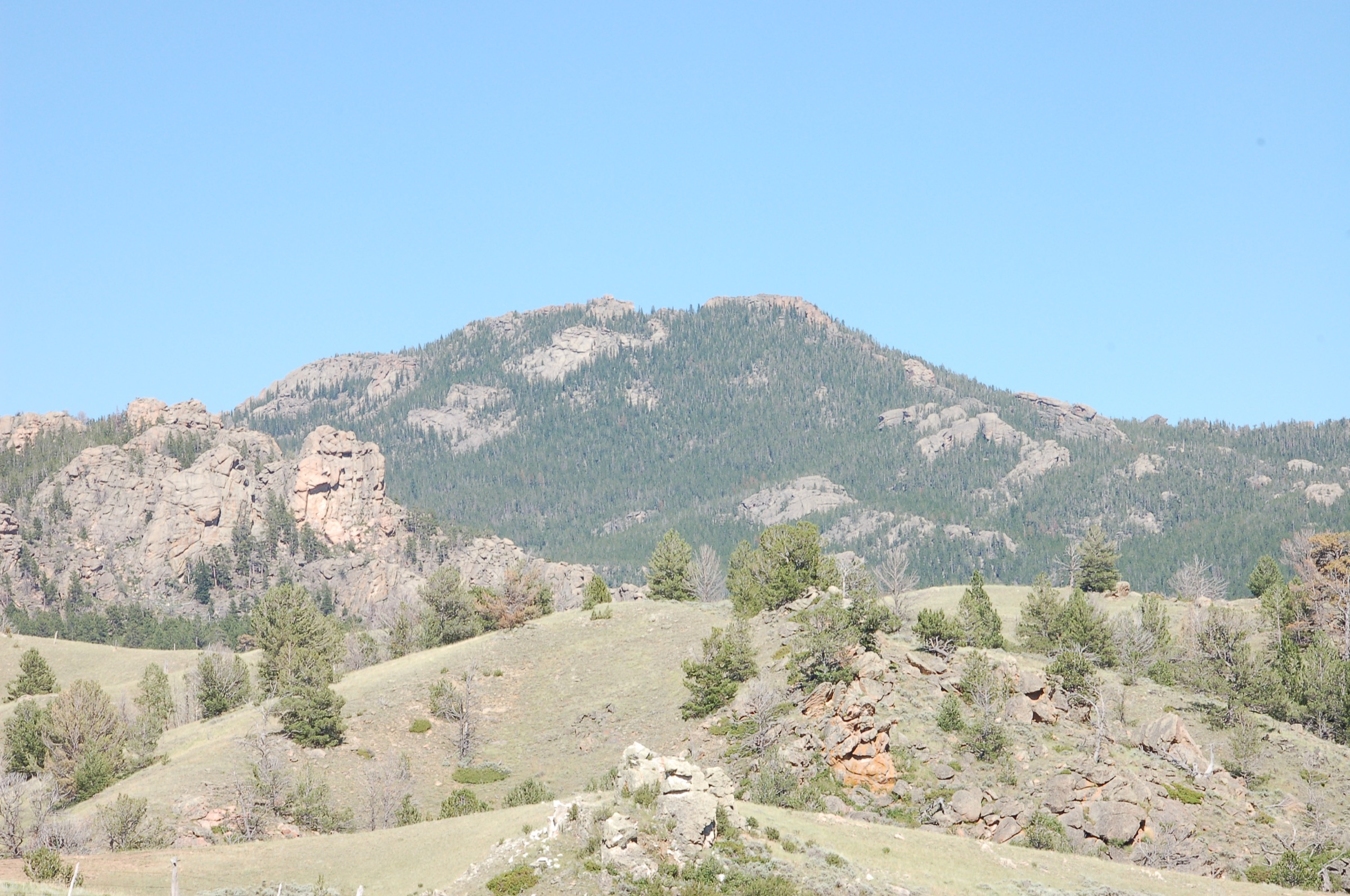
The Laramie Range is a lower, drier and more accessible Central Rockies range than the Wind Rivers or the Tetons. It runs through southeastern and central Wyoming with the granite tors of Vedauwoo, forested Pole Mountain, state-park canyon terrain at Curt Gowdy, the high landmark of Laramie Peak and Casper Mountain’s northern forested edge. Day hiking here is generally shorter and less alpine than in the Winds, but weather, wind, exposure and remote roads still matter.
Public-land context spans Medicine Bow-Routt National Forest for Laramie Peak, Vedauwoo and Pole Mountain, and Wyoming State Parks for Curt Gowdy, sitting between Cheyenne and Laramie on Happy Jack Road. Individual USFS current route cards were unresolved in this pass, so route statistics rely primarily on AllTrails. Fees, seasonal closures, fire restrictions and current conditions should be checked before travel.
See also: Titcomb Basin · Northern Wind Rivers, Wyoming.
Selection rationale
The five hikes cover the range’s full spread: the summit landmark of Laramie Peak, the iconic granite walk at Vedauwoo, the Curt Gowdy waterfall / canyon trail, a Pole Mountain / Happy Jack forest loop, and Casper Mountain’s Bridle Trail / Split Rock loop above Garden Creek Falls.
Summary table
| # | Hike | Country | Route type | Distance | Gain | Max elevation | Difficulty |
|---|---|---|---|---|---|---|---|
| 1 | Laramie Peak Trail | USA | Out-and-back summit | 15.8 km | 830 m | 3,132 m | Hard |
| 2 | Turtle Rock Loop Trail, Vedauwoo | USA | Loop | 4.8 km | 94 m | ~2,540 m | Easy |
| 3 | Crow Creek Trail to Hidden Falls, Curt Gowdy | USA | Out-and-back | 6.3 km | 113 m | ~2,250 m | Moderate |
| 4 | Pole Creek – Blackjack – Aspen – Haunted Forest – Old Happy Jack Loop | USA | Loop | 8.7 km | 185 m | ~2,590 m | Moderate |
| 5 | Bridle Trail / Split Rock Loop, Casper Mountain | USA | Loop | 6.1 km | 308 m | ~2,420 m | Moderate |
1. Laramie Peak Trail
Snapshot
Itinerary
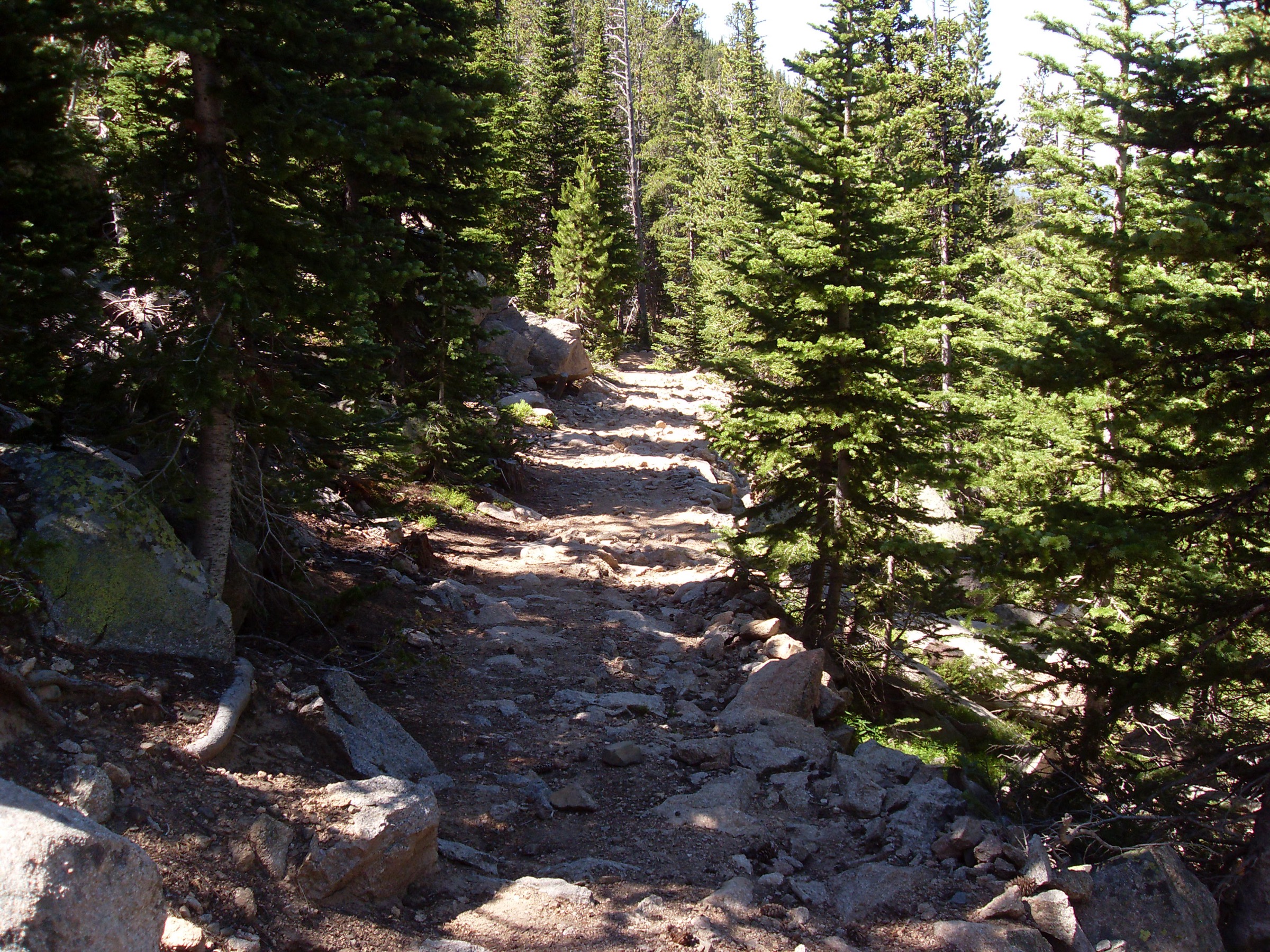
From the Friend Park side, follow the established Laramie Peak trail through forest and open slopes to Wyoming’s highest point in the Laramie Range. The summit carries communication structures and broad plains-to-mountains views, with the Oregon Trail / emigrant landmark context of the peak visible in every direction. Return by the same trail.
Why it is essential
Laramie Peak is the range high point and the historic Oregon Trail landmark mountain, making it the obvious summit day for the Laramie Range.
Equipment
- Hiking boots or shoes
- Water; food
- Wind / rain shell; warm layer
- Sun protection
- Poles useful on the sustained climb
- Offline map and GPS
Hazards and notes
- Sustained climb with exposure to lightning and wind near the summit.
- Remote road access; limited services; possible downed trees on approach roads.
- Snow, ice or deadfall possible outside high summer.
GPX / route file
| Source | URL | Format | Notes |
|---|---|---|---|
| AllTrails — Laramie Peak | alltrails.com | Source map / proprietary trail database | Direct GPX not retrieved; do not reuse proprietary geometry directly |
| OpenStreetMap search | openstreetmap.org | Source map | Reusable only under ODbL terms with attribution/share-alike |
Sources
- AllTrails — Laramie Peak
- Laramie Peak — reference page
- Medicine Bow-Routt National Forest — reference page
2. Turtle Rock Loop Trail, Vedauwoo
Snapshot
Itinerary
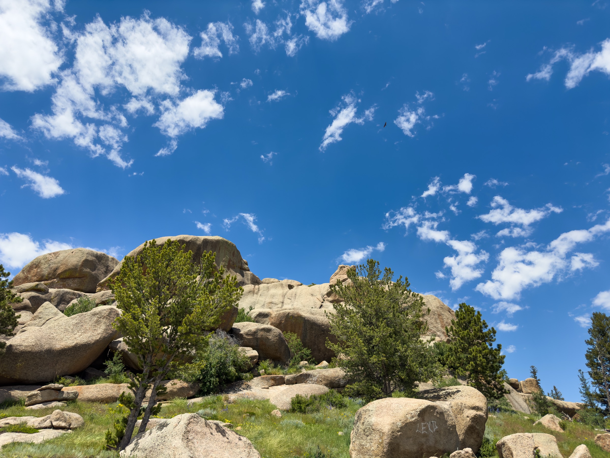
Walk the signed loop around Turtle Rock through Vedauwoo’s sculpted Sherman Granite, forest pockets, seasonal beaver ponds and boulder corridors. The route is well-marked but skirts many informal spur paths near the rocks; stay on the signed loop and return to the same trailhead.
Why it is essential
Turtle Rock is the simplest and most iconic hiking introduction to Vedauwoo’s granite tors — a signature landscape of the southern Laramie Range.
Equipment
- Trail shoes
- Water
- Sun / wind protection; rain layer
- Warm layer outside summer
- Traction if snow or ice remain on the granite
Hazards and notes
- Slick granite when wet or icy; watch line-of-travel on the slabs.
- Climber and dog traffic on the loop; sudden storms and high wind.
- Informal paths near the rocks can pull walkers off-route.
GPX / route file
| Source | URL | Format | Notes |
|---|---|---|---|
| AllTrails — Turtle Rock Loop Trail | alltrails.com | Source map / proprietary trail database | Direct GPX not retrieved; do not reuse proprietary geometry directly |
| OpenStreetMap search | openstreetmap.org | Source map | Reusable only under ODbL terms with attribution/share-alike |
Sources
3. Crow Creek Trail to Hidden Falls, Curt Gowdy
Snapshot
Itinerary
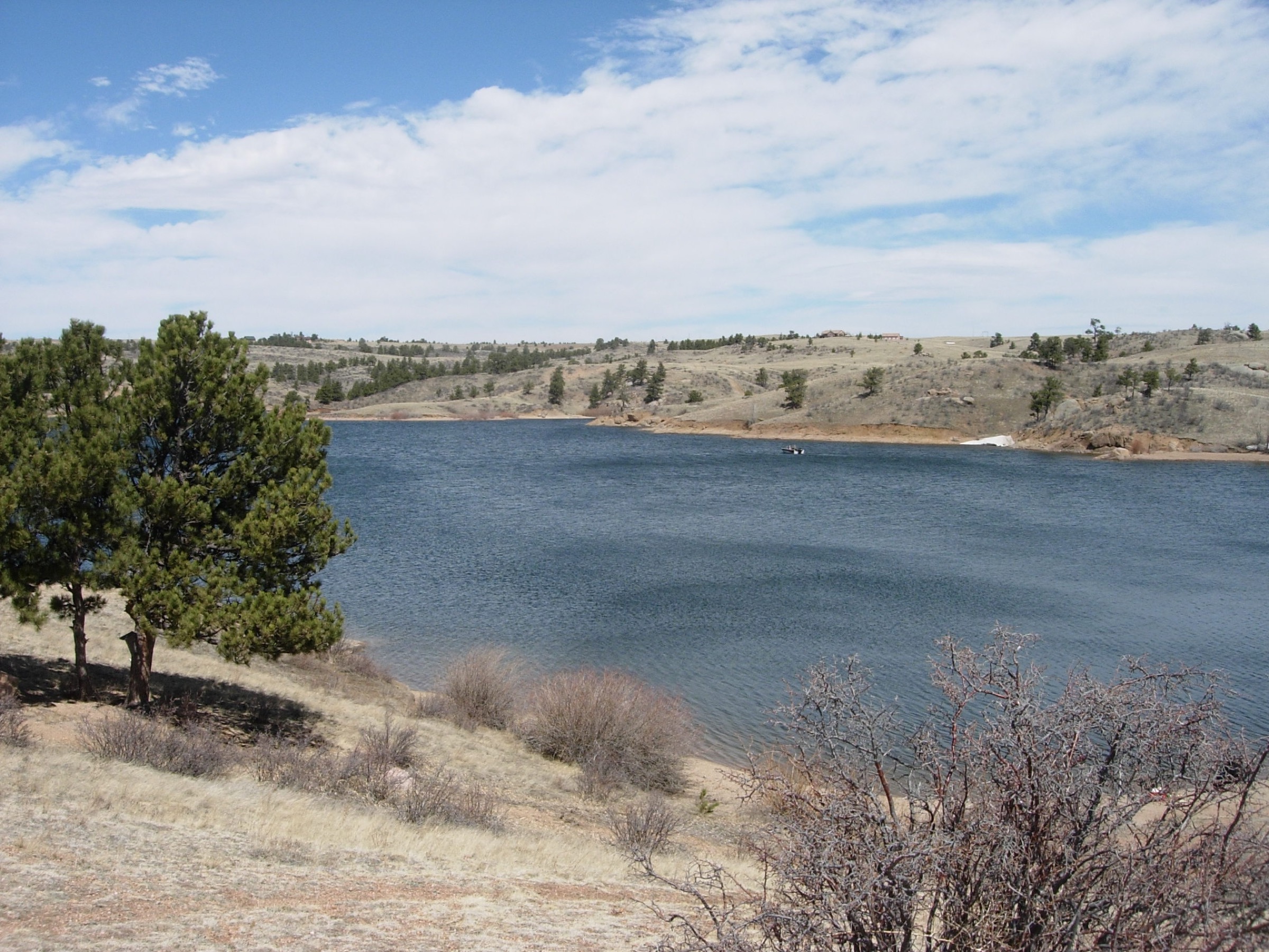
From the Crow Creek side of Curt Gowdy State Park, follow the trail system toward Hidden Falls, using signed junctions and the state park trail map to stay on the intended route through the reservoir-and-canyon country. Return the same way.
Why it is essential
Hidden Falls is Curt Gowdy’s best-known hiking objective and adds a waterfall and canyon entry to the Laramie Range foothills alongside the park’s reservoirs and granite.
Equipment
- Trail shoes
- Water
- Sun / wind protection; rain layer
- Traction if icy near the falls
- Leash if hiking with a dog where required
Hazards and notes
- Shared hiking / biking trail system; watch for cyclists.
- Slick rock near water; possible icy falls section in winter and spring.
- Check state park fees, closures and fire restrictions before travel.
GPX / route file
| Source | URL | Format | Notes |
|---|---|---|---|
| AllTrails — Crow Creek Trail to Hidden Falls | alltrails.com | Source map / proprietary trail database | Direct GPX not retrieved; do not reuse proprietary geometry directly |
| Wyoming State Parks — Curt Gowdy GeoPDF trail map | wyoparks.wyo.gov | Official GeoPDF | Terms unresolved; use as reference |
| OpenStreetMap search | openstreetmap.org | Source map | Reusable only under ODbL terms with attribution/share-alike |
Sources
4. Pole Creek – Blackjack – Aspen – Haunted Forest – Old Happy Jack Loop
Snapshot
Itinerary
Link the Pole Creek, Blackjack, Aspen, Haunted Forest and Old Happy Jack trails into a compact forest-and-meadow loop on Pole Mountain. Use current signage or a trail app at junctions — the route is a network path rather than a single named trail.
Why it is essential
Pole Mountain is the day-hiking backyard of Laramie and Cheyenne, and this loop samples the range’s forested, rolling, multi-use trail character.
Equipment
- Trail shoes
- Water
- Wind / rain layer; warm layer outside summer
- Offline map
- Tick and sun protection seasonally
Hazards and notes
- Shared hiking, biking and equestrian network; use etiquette at junctions.
- Junction complexity — carry a mapping tool.
- Wind, storms, ice or snow at shoulder-season; possible deadfall.
GPX / route file
| Source | URL | Format | Notes |
|---|---|---|---|
| AllTrails — Pole Creek / Blackjack / Aspen / Haunted Forest / Old Happy Jack Loop | alltrails.com | Source map / proprietary trail database | Direct GPX not retrieved; do not reuse proprietary geometry directly |
| OpenStreetMap search | openstreetmap.org | Source map | Reusable only under ODbL terms with attribution/share-alike |
Sources
- AllTrails — Pole Creek / Blackjack / Aspen / Haunted Forest / Old Happy Jack Loop
- Medicine Bow-Routt National Forest — reference page
5. Bridle Trail / Split Rock Loop, Casper Mountain
Snapshot
Itinerary
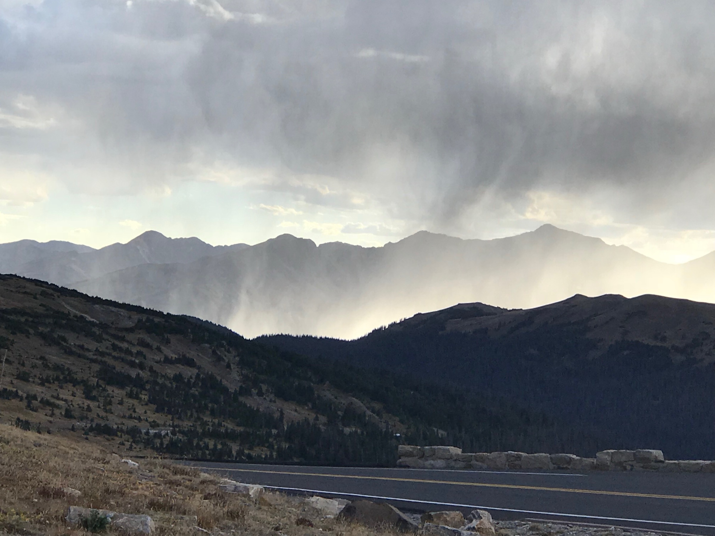
From Rotary Park, visit the Garden Creek Falls area and continue onto the Bridle Trail / Split Rock loop above the creek drainage. The trail climbs through forest and viewpoints before returning to the park.
Why it is essential
Casper Mountain is the northern Laramie Range’s most accessible forested mountain edge, and the Bridle Trail adds a compact but real climb above a popular waterfall trailhead.
Equipment
- Trail shoes or boots
- Water
- Wind / rain layer
- Sun protection
- Traction if icy near Garden Creek Falls
- Offline map
Hazards and notes
- Steep sections; slick rock or ice near Garden Creek Falls.
- Cliff and overlook exposure at viewpoints.
- Shared local trail use; check current mountain conditions and any seasonal closures.
GPX / route file
| Source | URL | Format | Notes |
|---|---|---|---|
| AllTrails — Bridle Trail | alltrails.com | Source map / proprietary trail database | Direct GPX not retrieved; do not reuse proprietary geometry directly |
| AllTrails — Garden Creek Waterfall Loop (context) | alltrails.com | Nearby shorter waterfall loop | Context only |
| OpenStreetMap search | openstreetmap.org | Source map | Reusable only under ODbL terms with attribution/share-alike |
Sources
Further reading
- Wyoming State Parks — Curt Gowdy
- Wyoming State Parks — Curt Gowdy GeoPDF trail map
- Laramie Peak — reference page
- Vedauwoo — reference page
- Casper Mountain — reference page
- Medicine Bow-Routt National Forest — reference page
Missing data / follow-up work
- Direct GPX / KML downloads were not retrieved for any of the five routes.
- Official USFS route cards for Laramie Peak, Turtle Rock and the Pole Mountain / Happy Jack loop remain unresolved; a route-file source for the Casper Mountain Bridle Trail is also unresolved.
- Maximum elevations for Turtle Rock, Crow Creek to Hidden Falls, the Pole Mountain loop and the Bridle Trail loop are map-derived rather than official.
- The Pole Mountain / Happy Jack loop has no licence-compatible route-specific open photo at the site’s 2000 px floor; a regional Vedauwoo image would be the closest fallback but has been left out of the article to avoid mis-identification.
- Public transport was not verified for any trailhead.