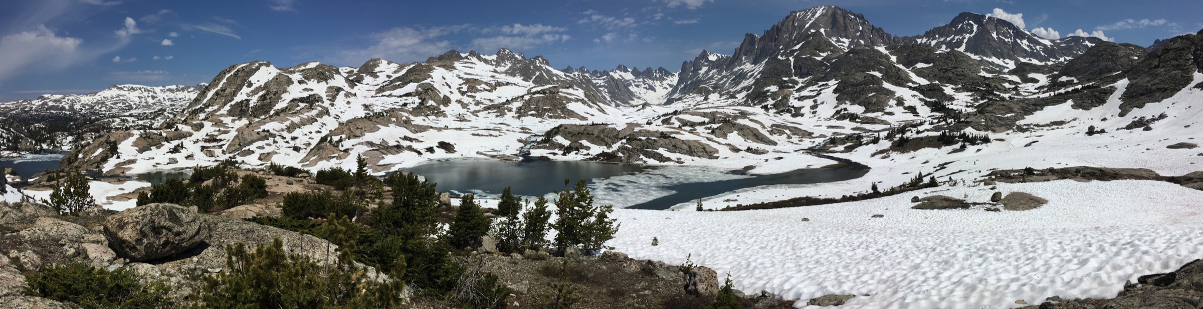
Regional overview
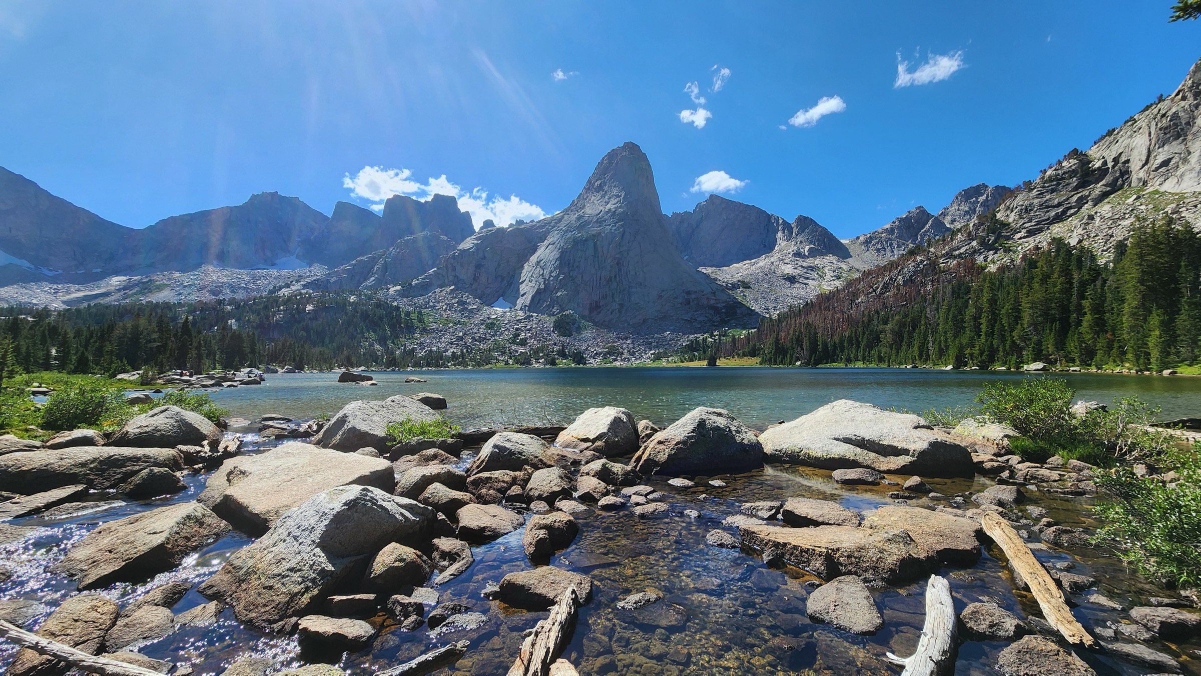
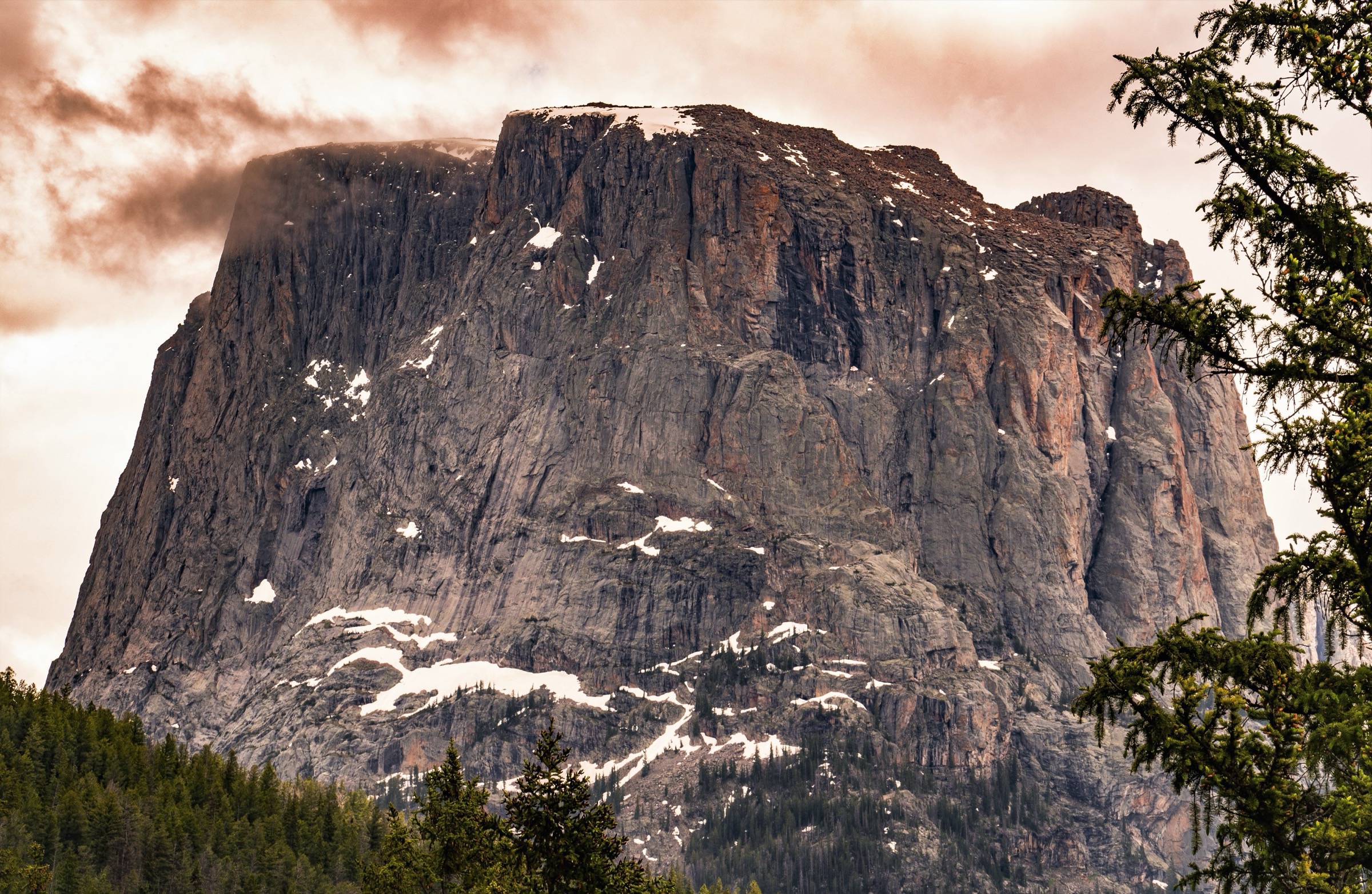
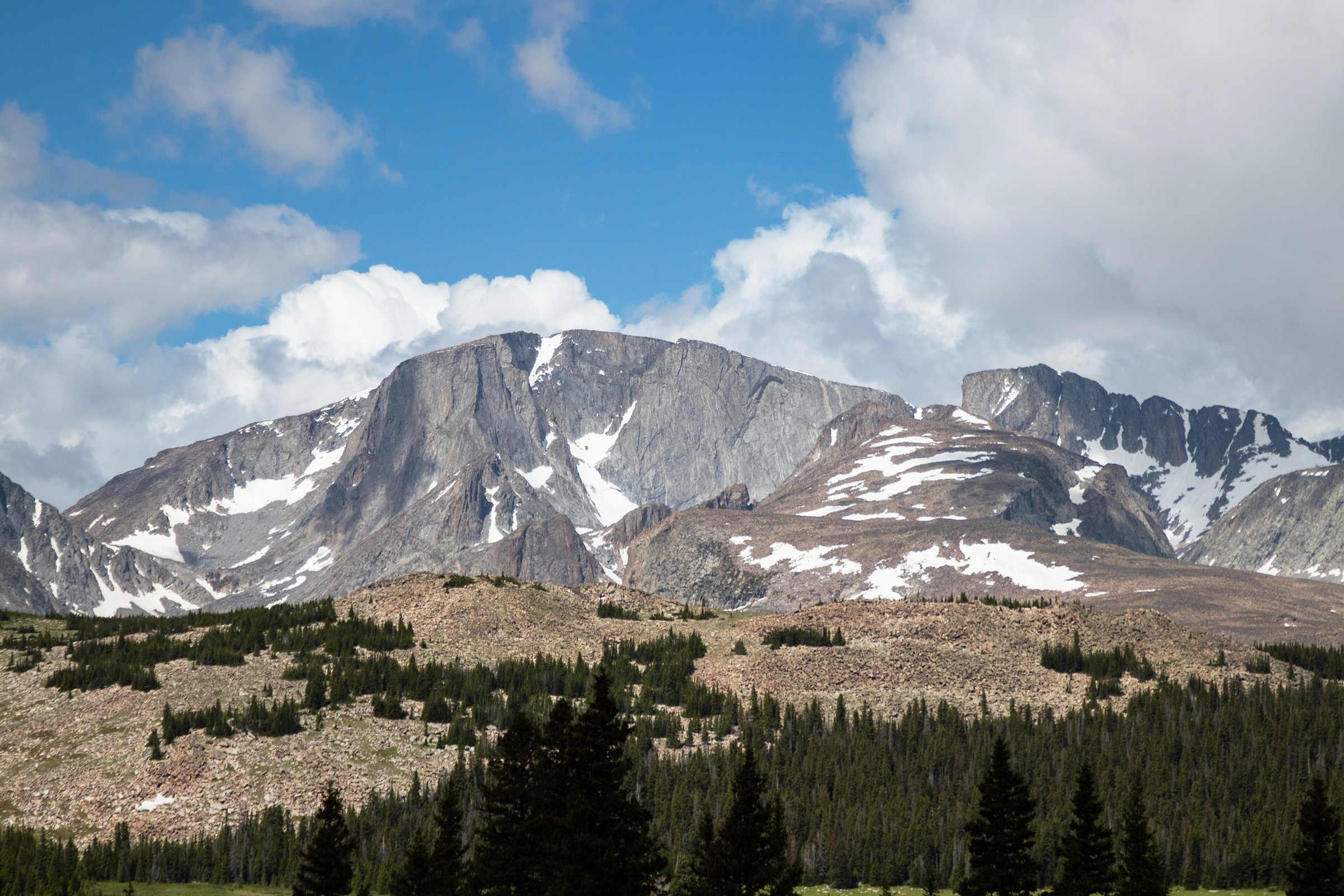
The Titcomb Basin and central Wind River area is the classic high-granite heart of the Winds: Elkhart Park, Pole Creek, Photographer’s Point, Seneca Lake, Island Lake, the Titcomb Lakes below Fremont Peak, and the quieter New Fork / Sacred Rim side further north. It is famous for alpine lakes, granite walls, long approaches and multi-day traverses, and the day-hike catalogue has to treat the area carefully because most of the marquee destinations are normally reached as backpacking trips.
These routes are high, remote and weather-exposed. Snow can linger into July, afternoon thunderstorms are serious, mosquitoes can be intense, and even popular trails can have downed timber, muddy sections, creek crossings and unclear side junctions. Most walking here requires self-sufficiency: bear spray, water treatment, layered clothing, navigation and a realistic turnaround plan. Trailheads on the Elkhart Park side are reached from Pinedale via Fremont Lake and the Skyline Drive corridor.
See also: Northern Wind Rivers, Wyoming · Cirque of the Towers / southern Wind River Range.
Selection rationale
The five hikes below cover the best day-hike faces of the central Winds: the classic Photographer’s Point viewpoint above Pole Creek; a shorter cliff-and-canyon overlook from the New Fork side (Sacred Rim); an Elkhart Park lake loop through the Sweeney basin; the long marquee Island Lake approach; and the exceptional Titcomb Lakes traverse. Island Lake and Titcomb Basin share the Pole Creek corridor, but both are included because they are distinct catalogue objectives and because Titcomb Basin is the region’s signature landscape. The Titcomb route is clearly flagged as an exceptional endurance day and more commonly a multi-day backpack.
Summary
| # | Hike | Country | Route type | Distance | Gain | Max elevation | Difficulty |
|---|---|---|---|---|---|---|---|
| 1 | Photographer’s Point via Pole Creek Trail | USA | Out-and-back | 15.3 km / 9.5 mi | 349 m / 1,145 ft | 3,157 m / 10,357 ft | Moderate |
| 2 | Sacred Rim Trail | USA | Out-and-back | 5.5 km / 3.4 mi | 169 m / 554 ft | 2,949 m / 9,675 ft | Moderate |
| 3 | Miller Lake, Upper Sweeney Lake and Photographer’s Point Loop | USA | Loop | 18.0 km / 11.2 mi | 434 m / 1,423 ft | 3,157 m / 10,357 ft | Hard |
| 4 | Island Lake via Pole Creek, Seneca Lake and Indian Pass | USA | Out-and-back | 39.8 km / 24.7 mi | 1,106 m / 3,628 ft | 3,243 m / 10,639 ft | Hard |
| 5 | Titcomb Lakes via Pole Creek, Seneca Lake and Indian Basin Trail | USA | Out-and-back | 50.2 km / 31.2 mi | 1,273 m / 4,176 ft | 3,246 m / 10,649 ft | Very hard / endurance |
1. Photographer’s Point via Pole Creek Trail
Snapshot
Itinerary
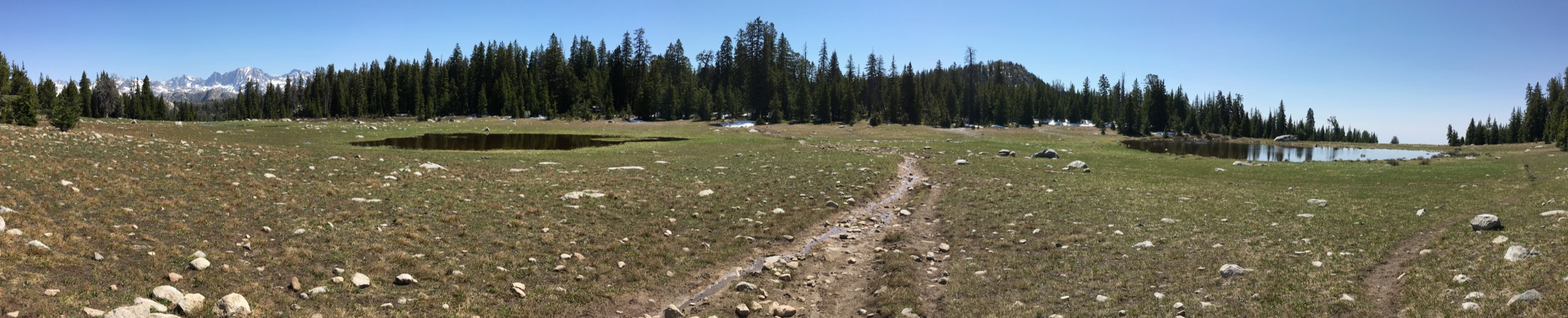
From Elkhart Park the Pole Creek Trail rolls through subalpine forest and meadow, gaining elevation gently on well-graded tread before opening at Photographer’s Point. The overlook faces across the deep central Wind River valleys toward the high granite skyline that anchors the Titcomb / Fremont crest. Return by the same route.
Why it is essential
Photographer’s Point is the classic first major reward from Elkhart Park: a manageable day-hike with big central-Winds views and the gateway feel of the longer Island Lake and Titcomb corridor.
Equipment
- Hiking shoes
- 2 L water and treatment for the return
- Rain shell and warm mid-layer
- Sun protection
- Insect repellent — mosquitoes are heavy in early summer
- Bear spray
- Offline map
Hazards and notes
- Muddy sections and downed trees on the mid-mountain traverse.
- Mosquitoes can be intense from snowmelt into early August.
- High-elevation weather; afternoon thunderstorms build quickly.
- Grizzly and moose habitat throughout.
- Elkhart Park parking fills on summer weekends; arrive early.
Routes and maps
| Source | URL |
|---|---|
| AllTrails — Photographer’s Point via Pole Creek Trail | alltrails.com |
| Bridger-Teton National Forest — hiking | fs.usda.gov |
| OpenStreetMap — Photographer’s Point area | openstreetmap.org |
Further reading
2. Sacred Rim Trail
Snapshot
Itinerary
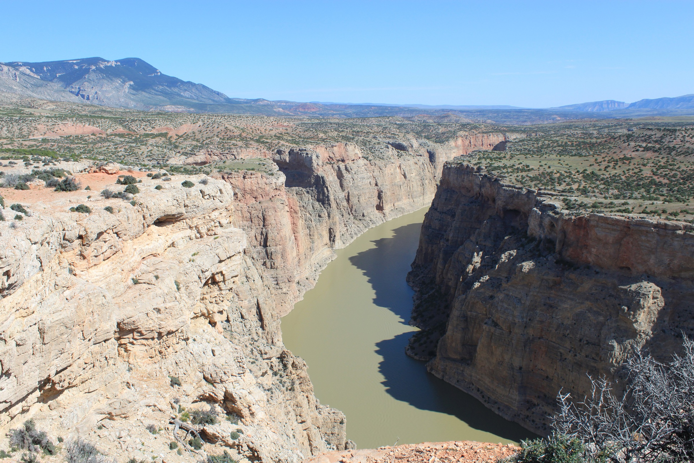
From the Trails End / New Fork Lakes access the wooded route climbs gently toward Sacred Rim, with a subtle side turn that is easy to miss. The trail ends at a high overlook above deep canyon and basin terrain. Return by the same route.
Why it is essential
Sacred Rim adds a short, high-impact cliff-and-canyon viewpoint to the central Winds set and spreads the article beyond the Elkhart Park corridor, giving a very different perspective on the range for a fraction of the effort.
Equipment
- Hiking shoes
- Water
- Layers and a rain shell
- Bear spray
- Insect repellent
- Map or offline route file — the side junction is not obvious
Hazards and notes
- Easy-to-miss side junction on the approach to the rim.
- Cliff-edge exposure at the viewpoint; keep well back with children or dogs.
- Downed trees and muddy spots after storms.
- Weather changes quickly at rim elevation.
Routes and maps
| Source | URL |
|---|---|
| AllTrails — Sacred Rim Trail | alltrails.com |
| Bridger-Teton National Forest — hiking | fs.usda.gov |
| OpenStreetMap — Sacred Rim area | openstreetmap.org |
Further reading
3. Miller Lake, Upper Sweeney Lake and Photographer’s Point Loop
Snapshot
Itinerary
From Elkhart Park use the Sweeney / Miller Lake loop variant to reach two forested lakes on the eastern flank of the plateau, then continue up to Photographer’s Point before returning to the trailhead. The loop gives a fuller day than the direct viewpoint out-and-back and adds central-Winds lake terrain without pushing all the way to Seneca or Island Lake.
Why it is essential
This is the practical lake-loop complement to Photographer’s Point: it keeps the route within a normal strong day while showing why Elkhart Park is the main gateway to the central Winds.
Equipment
- Hiking shoes or light boots
- Water treatment for the loop lakes
- Bear spray
- Layers and a rain shell
- Offline map — the loop has several junction options
- Insect repellent
Hazards and notes
- Mud, snow patches and downed trees on the loop side.
- Dense forest sections between lakes; navigation matters if snow is patchy.
- Mosquitoes.
- High-elevation storms.
Routes and maps
| Source | URL |
|---|---|
| AllTrails — Miller Lake, Upper Sweeney Lake and Photographer’s Point Loop | alltrails.com |
| Bridger-Teton National Forest — hiking | fs.usda.gov |
| OpenStreetMap — Upper Sweeney Lake area | openstreetmap.org |
Further reading
4. Island Lake via Pole Creek, Seneca Lake and Indian Pass
Snapshot
Itinerary
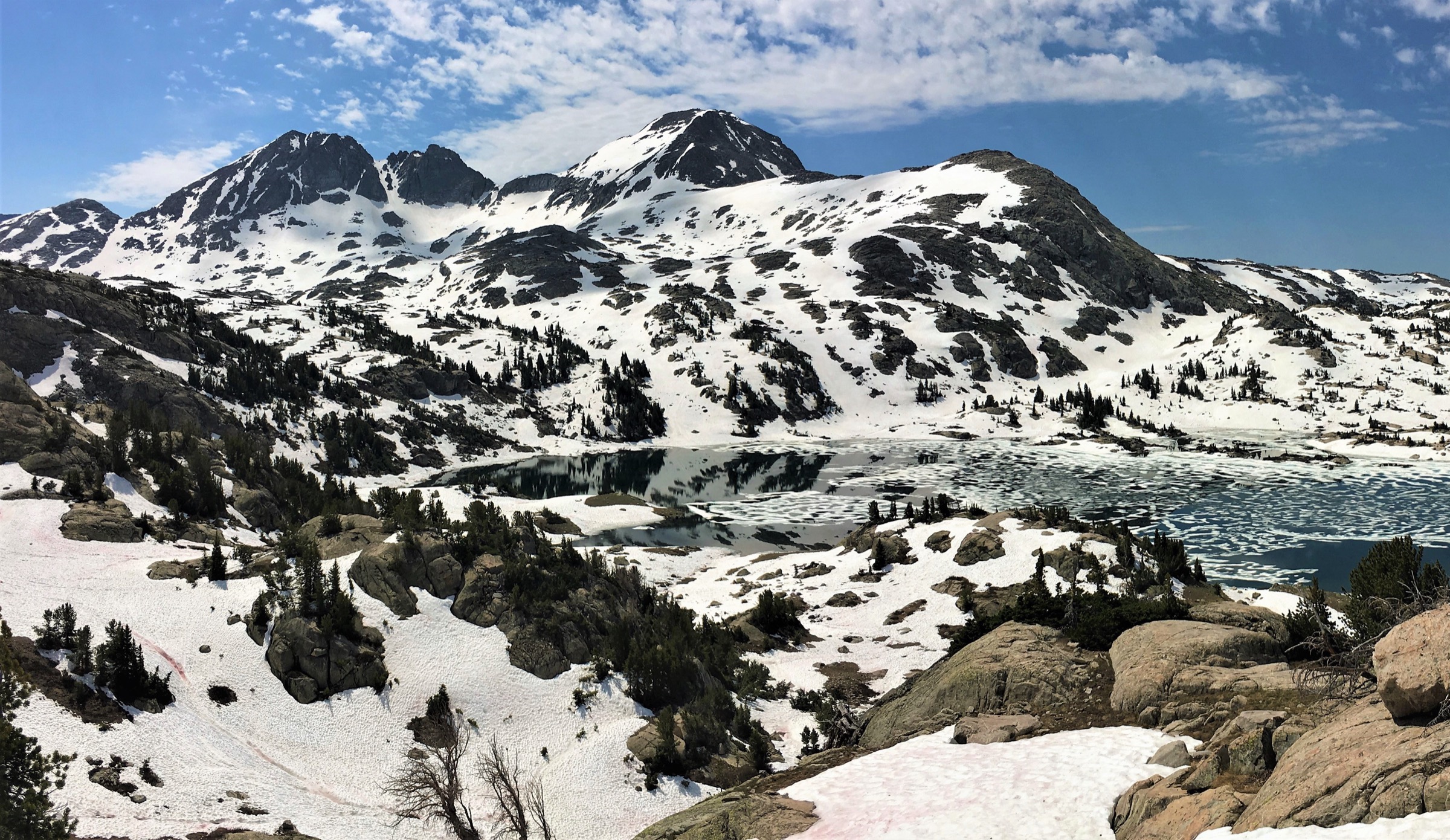
From Elkhart Park, follow the Pole Creek Trail past Photographer’s Point, continue through the Seneca Lake corridor and then take the Indian Pass line to Island Lake beneath the Titcomb crest. Return by the same route. The distance and altitude push this well into the strong-day category; many parties backpack it, but fit walkers with a very early start and stable weather can complete the round trip in a summer day.
Why it is essential
Island Lake is one of the central Winds’ classic alpine-lake destinations and the natural stepping stone toward Titcomb Basin. It gives big granite-and-lake scenery beneath Elephant Head and Mount Lester without requiring the additional miles into the upper basin.
Equipment
- Full mountain day-kit: sturdy boots, headlamp with spare batteries
- 3 L water and reliable treatment
- Bear spray and bear-aware food storage
- Warm mid-layer, rain shell, hat and gloves
- Navigation (map, compass, GPS)
- Emergency insulation and extra food
- Sun protection
Hazards and notes
- Long distance and altitude; pace conservatively.
- Fast-building afternoon thunderstorms; aim to be off exposed sections by early afternoon.
- Creek crossings, mud and mosquitoes.
- Wildlife encounters (grizzly, moose) throughout.
- Elkhart Park parking fills fast on summer weekends.
- Late-return risk — file a plan and carry a headlamp regardless.
Routes and maps
| Source | URL |
|---|---|
| AllTrails — Island Lake Trail (Pole Creek / Seneca / Indian Pass) | alltrails.com |
| Bridger-Teton National Forest — hiking | fs.usda.gov |
| OpenStreetMap — Island Lake area | openstreetmap.org |
Further reading
5. Titcomb Lakes via Pole Creek, Seneca Lake and Indian Basin Trail
Snapshot
Itinerary
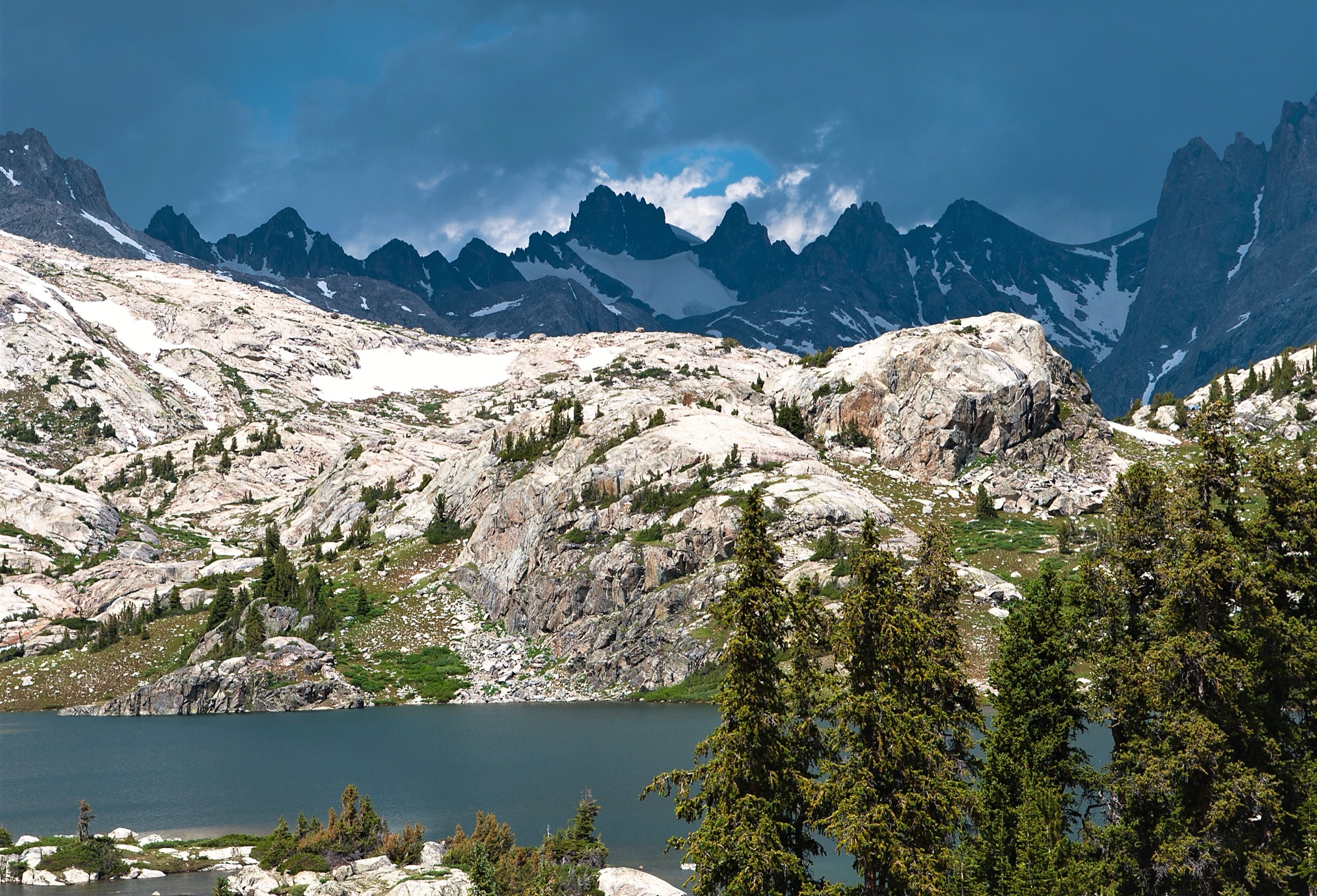
From Elkhart Park, follow the Pole Creek / Seneca / Indian Basin corridor past Photographer’s Point and the main lake chain toward Island Lake, then continue up into Titcomb Basin and the Titcomb Lakes below the high central Wind River skyline of Fremont Peak and Mount Sacagawea. Return by the same route. For most walkers this is a two- to three-night backpack; as a day-hike it is an exceptional endurance objective demanding a pre-dawn start, stable weather, high fitness and conservative decision-making.
Why it is essential
Titcomb Basin is one of the defining landscapes of the Wind River Range and one of the great alpine basins of the central Rockies. Omitting it from a Titcomb-Basin catalogue entry would misrepresent the region — even though the day-hike version stretches the format to its limit.
Equipment
- Full mountain kit including sturdy boots and gaiters
- Headlamp with spare power source — you will start and often finish in the dark
- Water treatment (3 L capacity minimum)
- Bear spray and bear-aware food storage
- Emergency insulation (bivy or space blanket)
- Rain shell, warm layers, hat, gloves
- Navigation (map, compass, GPS, backup)
- Extra food and a first-aid kit
Hazards and notes
- Extreme day-hike length; strongly consider backpacking instead.
- Remote terrain and slow rescue if injured.
- Fast-building lightning storms; do not push into the basin under building weather.
- Creek crossings, mud, mosquitoes.
- Grizzly and moose encounters.
- Late return in darkness is likely — accept this and plan for it.
Routes and maps
| Source | URL |
|---|---|
| AllTrails — Titcomb Lakes via Pole Creek, Seneca Lake and Indian Basin | alltrails.com |
| Bridger-Teton National Forest — hiking | fs.usda.gov |
| OpenStreetMap — Titcomb Basin area | openstreetmap.org |