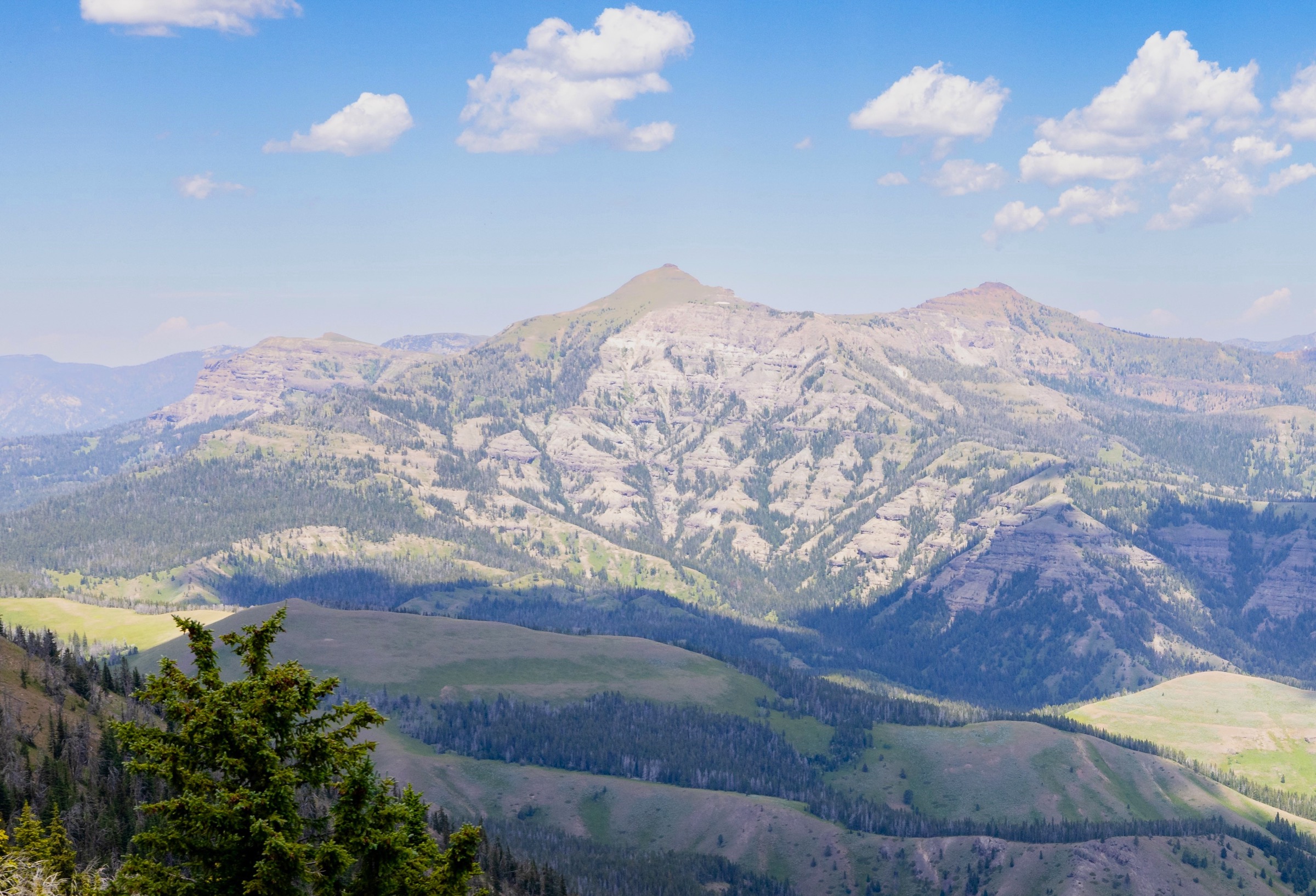
Regional overview
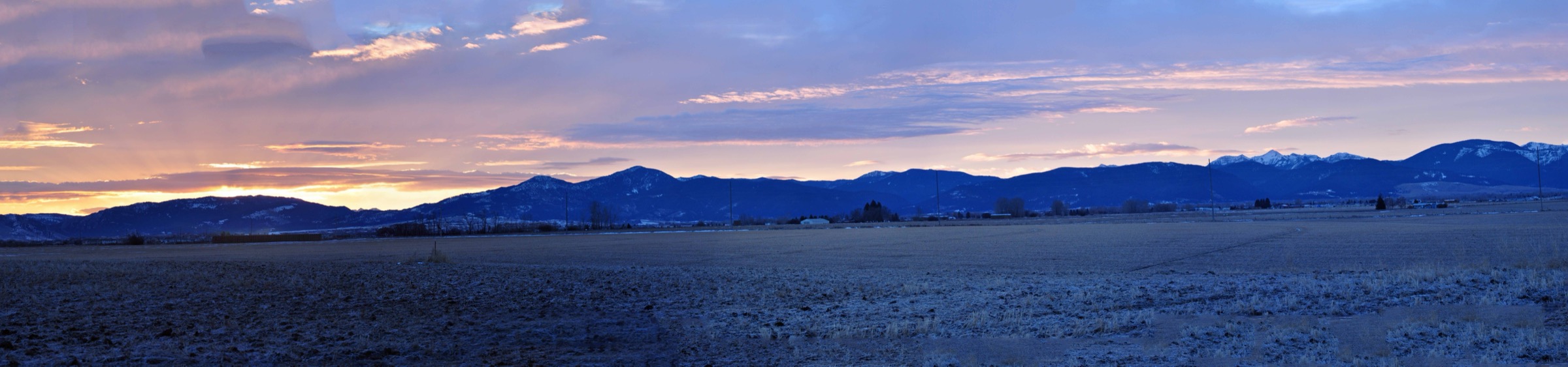
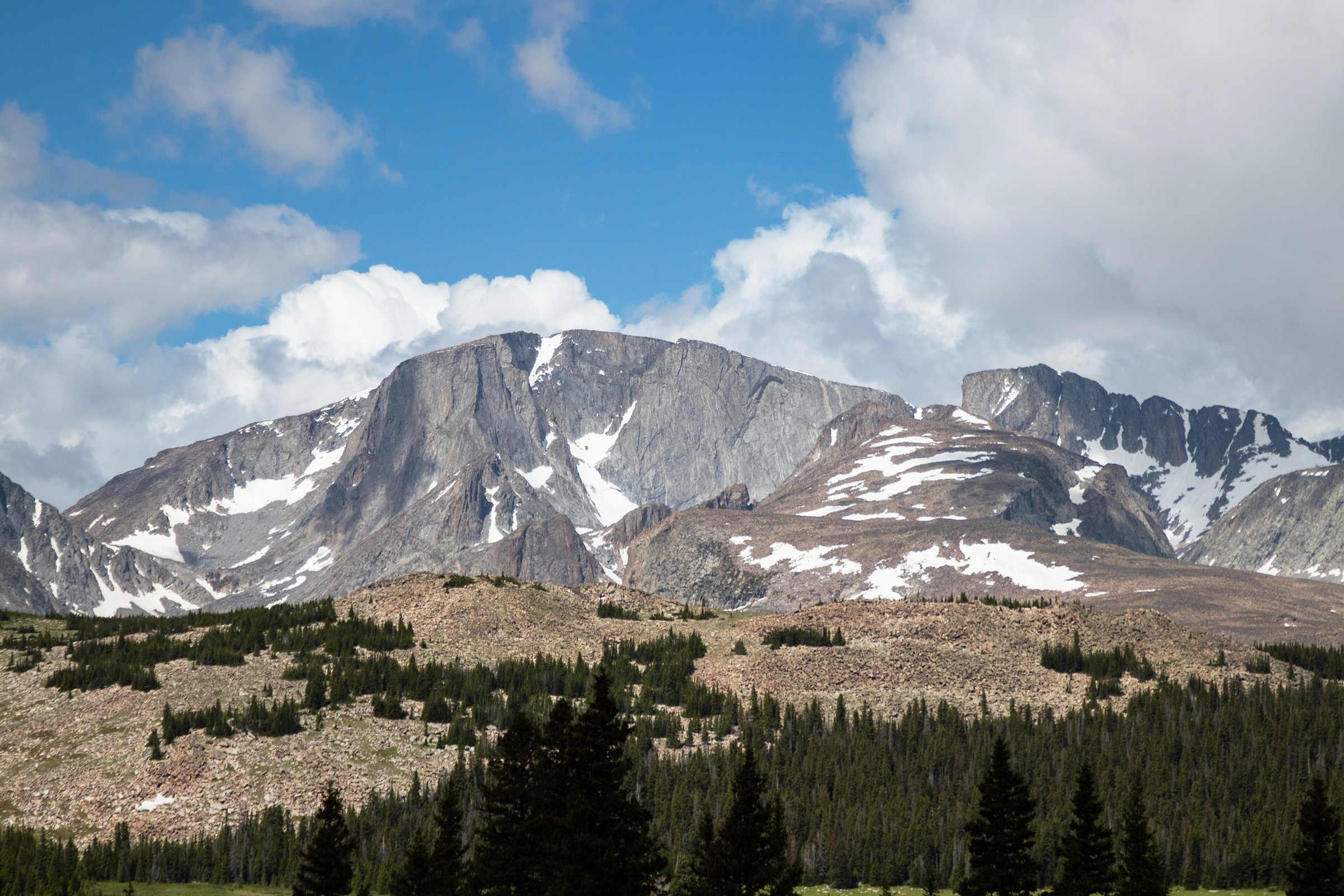
The Gallatin Range runs north–south from Yellowstone National Park toward Bozeman, with forested canyons, open ridges, volcanic and limestone peaks, alpine lakes and some of southwest Montana’s most heavily-used day-hiking terrain. Hyalite Canyon gives the Bozeman-side alpine-lake and summit classics; Gallatin Canyon provides steep trailhead-to-summit climbs; Yellowstone’s northern Gallatin foothills add historic park summits such as Bunsen Peak.
Trails and access are managed by the Custer Gallatin National Forest, Bozeman Ranger District on the north and central range and by the National Park Service inside Yellowstone. Planning issues include seasonal road access, grizzly-bear country, fast-changing mountain weather, lightning, lingering snow on high routes and heavy summer trailhead pressure near Bozeman.
Current access note checked on 2026-07-13: Hyalite Canyon Road access and parking capacity are seasonal and can change year-to-year. Verify current conditions with the Bozeman Ranger District and, for the Bunsen Peak trailhead, with NPS current conditions in Yellowstone before every trip.
See also: Gallatin Range · Laramie Range, Wyoming.
Selection rationale
The five hikes below cover the main day-hike faces of the Gallatin Range — Hyalite’s high summit (Hyalite Peak), a historic named peak above an alpine lake (Mount Blackmore via Blackmore Lake), the steep Gallatin Canyon viewpoint of Storm Castle Peak, a fire-lookout / working-forest summit (Garnet Mountain) and Yellowstone’s northern Gallatin classic (Bunsen Peak). Electric Peak was considered but is normally a very long, more committing day; Lava Lake was excluded because it is commonly treated with the Madison / Spanish Peaks side rather than the Gallatin Range proper.
Route statistics use the NPS route page for Bunsen Peak, secondary route databases (AllTrails) for the four Custer Gallatin summits and public mountain-reference material for verified summit elevations.
Summary
| # | Hike | Country | Route type | Distance | Gain | Difficulty | Primary trailhead |
|---|---|---|---|---|---|---|---|
| 1 | Hyalite Peak via Hyalite Creek | USA | Out-and-back | ~23.5 km / 14.6 mi | ~1,045 m / 3,430 ft | Hard | Hyalite Creek trailhead, Hyalite Canyon |
| 2 | Mount Blackmore via Blackmore Lake | USA | Out-and-back | ~19–21 km / 12–13 mi | ~900–1,050 m / 3,000–3,450 ft | Hard | Blackmore trailhead, Hyalite Canyon |
| 3 | Storm Castle Peak | USA | Out-and-back | ~8.0 km / 5.0 mi | ~570 m / 1,870 ft | Hard for grade | Storm Castle trailhead, Gallatin Canyon |
| 4 | Garnet Mountain Lookout Trail | USA | Out-and-back | ~12.9 km / 8.0 mi | ~720 m / 2,360 ft | Moderate–hard | Garnet Mountain trailhead, Storm Castle Road |
| 5 | Bunsen Peak Trail | USA | Out-and-back | 7.4 km / 4.6 mi | 396 m / 1,300 ft | Moderately strenuous | Gravel lot 5 mi south of Mammoth, Grand Loop Road |
1. Hyalite Peak via Hyalite Creek
Snapshot
Itinerary
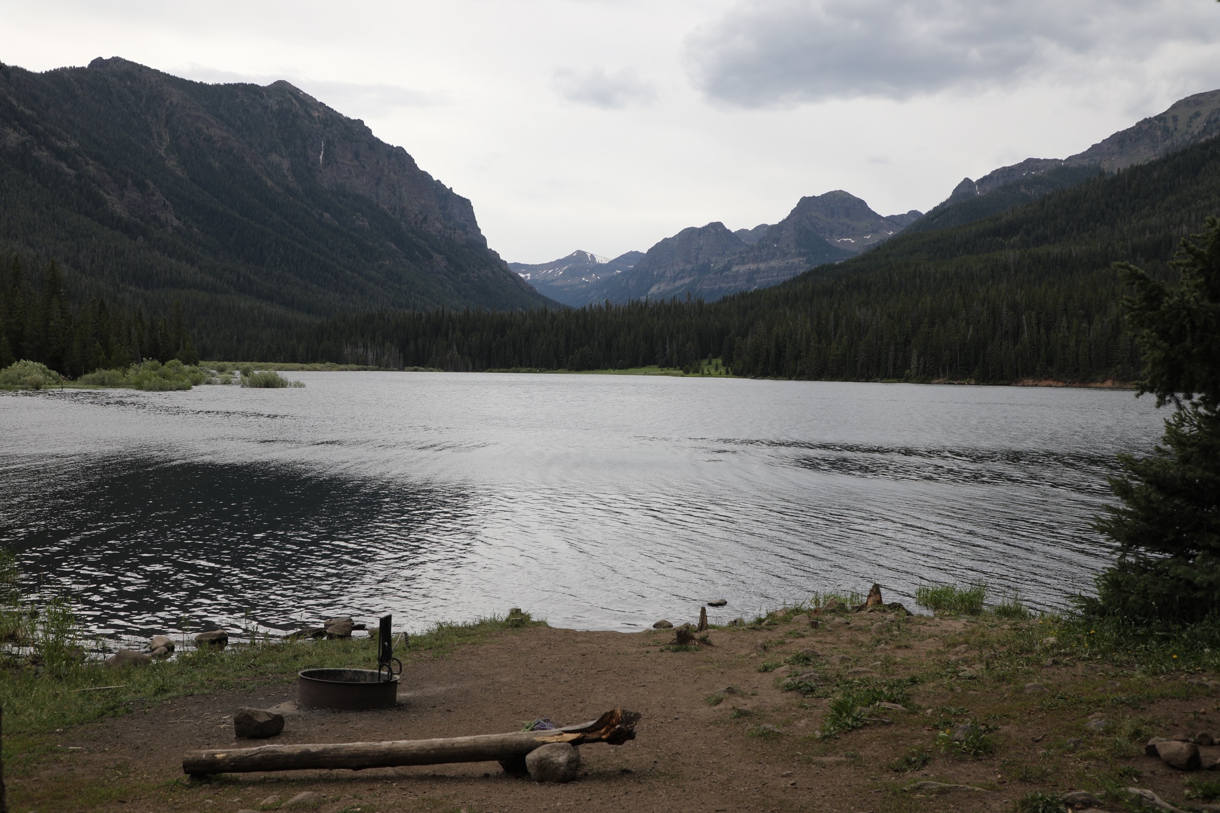
The route follows Hyalite Creek past waterfalls and forested canyon terrain, climbs toward Hyalite Lake, then continues above treeline to the summit of Hyalite Peak. Return by the same route.
Why it is essential
The Gallatin Range’s signature Bozeman-side big day — waterfalls, alpine lake, tundra and a 10,000 ft summit in one long route.
Equipment
- Sturdy boots or trail runners
- 3–4 L water / water treatment
- Rain / wind shell, warm layers
- Bear spray and knowledge of use
- Sun protection, map / GPS, headlamp
Hazards and notes
- Snow commonly lingers on the high summit into early summer.
- Thunderstorms and lightning are serious above treeline; start early.
- Prime grizzly-bear country — bear spray on the belt, not in the pack.
- Hyalite Canyon Road can be crowded and parking limited on summer weekends.
Routes and maps
| Source | URL |
|---|---|
| AllTrails — Hyalite Peak Trail | alltrails.com |
| Custer Gallatin NF — Bozeman Ranger District | fs.usda.gov |
| OpenStreetMap — Hyalite Peak | openstreetmap.org |
Further reading
2. Mount Blackmore via Blackmore Lake
Snapshot
Itinerary
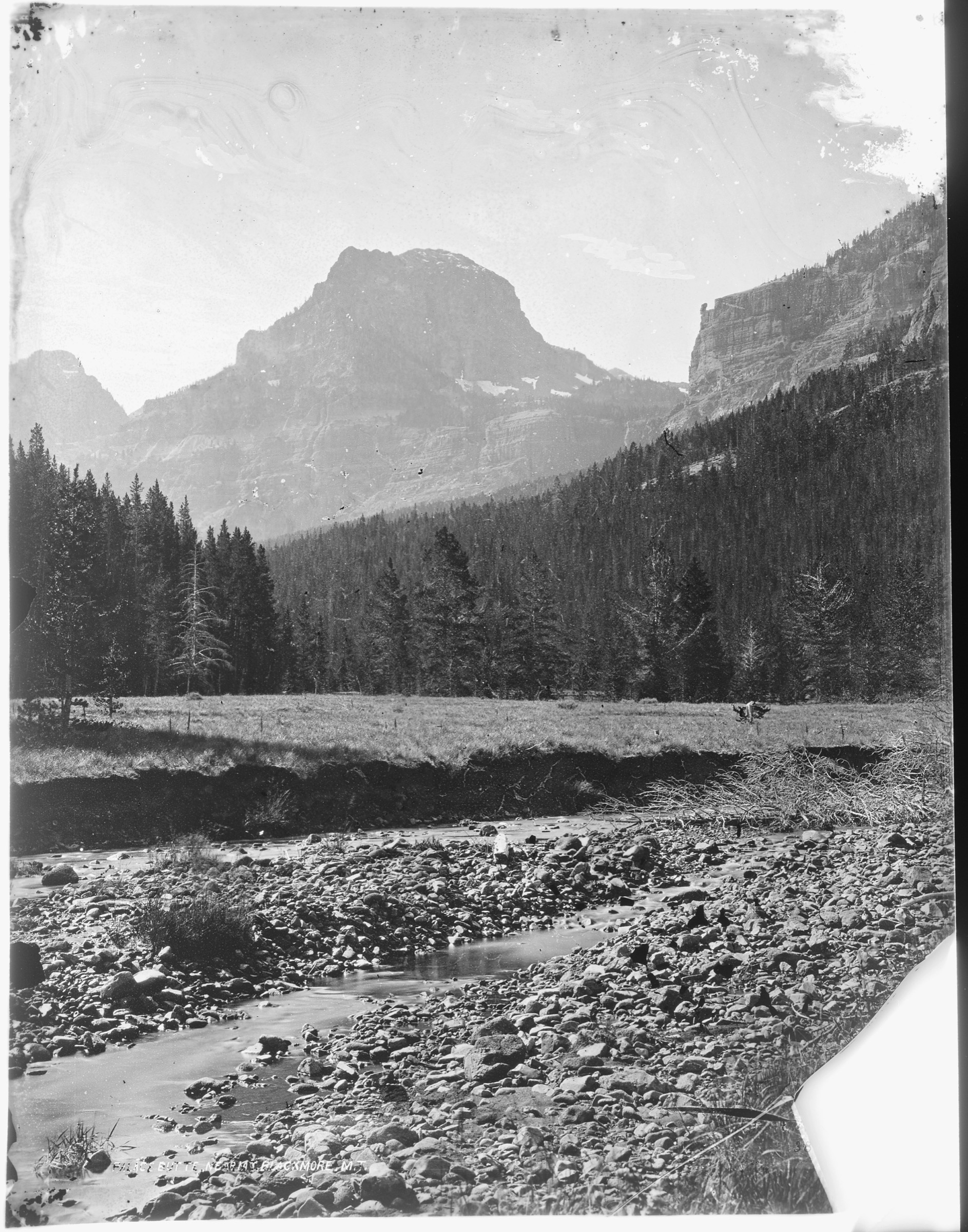
From the Hyalite side the route climbs past Blackmore Lake, then continues to open ridge and summit terrain on Mount Blackmore. Return by the same route.
Why it is essential
One of the Gallatin Range’s best-known named summits above Bozeman — a historically named peak with an alpine-lake approach and long ridge views.
Equipment
- Sturdy footwear
- Rain / wind and warm layers
- 3–4 L water / water treatment
- Bear spray
- Sun protection, map / GPS, headlamp
Hazards and notes
- Snow, lightning and exposed summit weather.
- Long day with sustained climbing — pace and hydration matter.
- Grizzly-bear country; make noise on the forested approach.
- Trailhead parking fills early on summer weekends.
Routes and maps
| Source | URL |
|---|---|
| AllTrails — Mount Blackmore Trail | alltrails.com |
| Custer Gallatin NF — Bozeman Ranger District | fs.usda.gov |
| OpenStreetMap — Mount Blackmore | openstreetmap.org |
Further reading
3. Storm Castle Peak
Snapshot
Itinerary
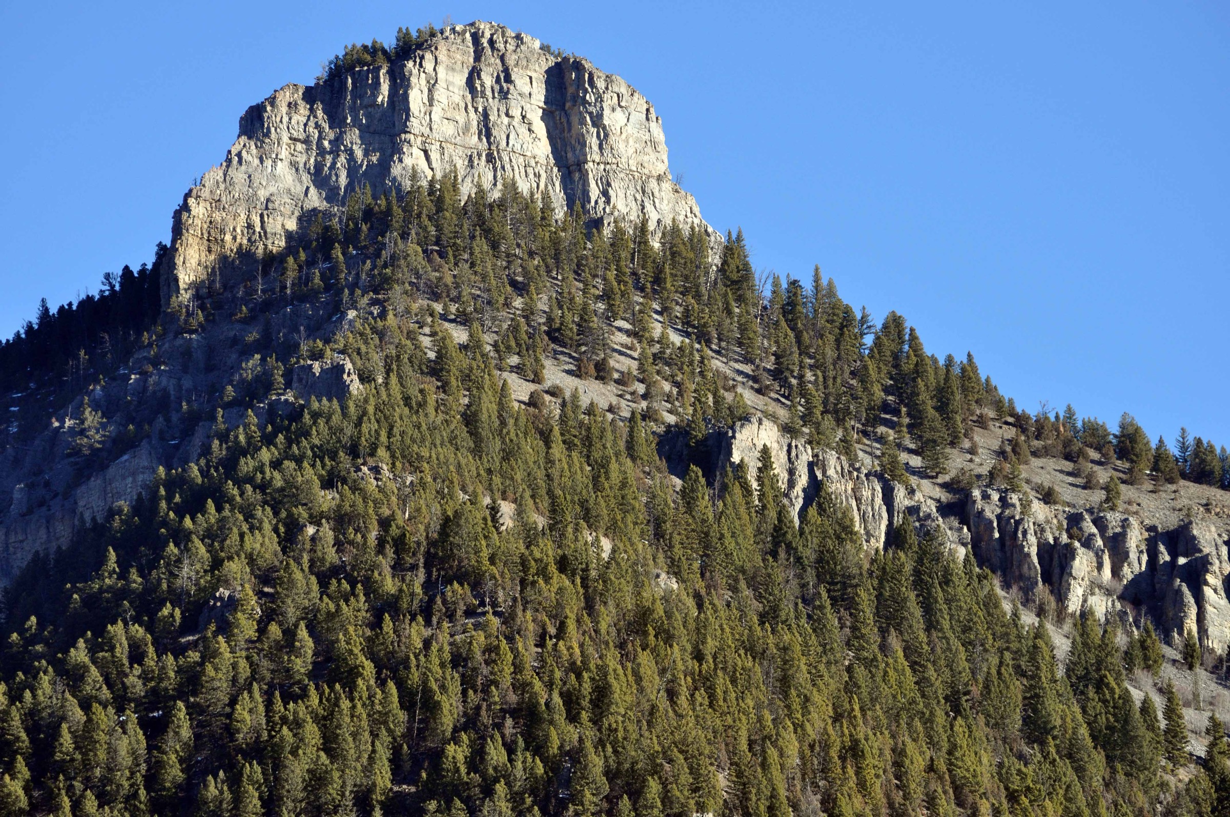
From the Gallatin Canyon trailhead the path climbs steeply through forest and open slopes to the rocky Storm Castle summit. The top gives direct views down Gallatin Canyon and across the surrounding Gallatin Range. Return the same way.
Why it is essential
The compact Gallatin Canyon classic — short, steep, instantly recognisable from the highway and one of the range’s best half-day summit viewpoints.
Equipment
- Hiking shoes / boots with grip
- Trekking poles
- 2 L water
- Sun protection, wind / rain layer
- Bear spray
Hazards and notes
- Loose footing on the steep upper trail.
- Heat exposure on the open slopes.
- Snow and ice outside summer — traction recommended.
- Lightning risk on the summit block; retreat off top on approaching storms.
Routes and maps
| Source | URL |
|---|---|
| AllTrails — Storm Castle Peak Trail | alltrails.com |
| Custer Gallatin NF — Bozeman Ranger District | fs.usda.gov |
| OpenStreetMap — Storm Castle | openstreetmap.org |
Further reading
4. Garnet Mountain Lookout Trail
Snapshot
Itinerary
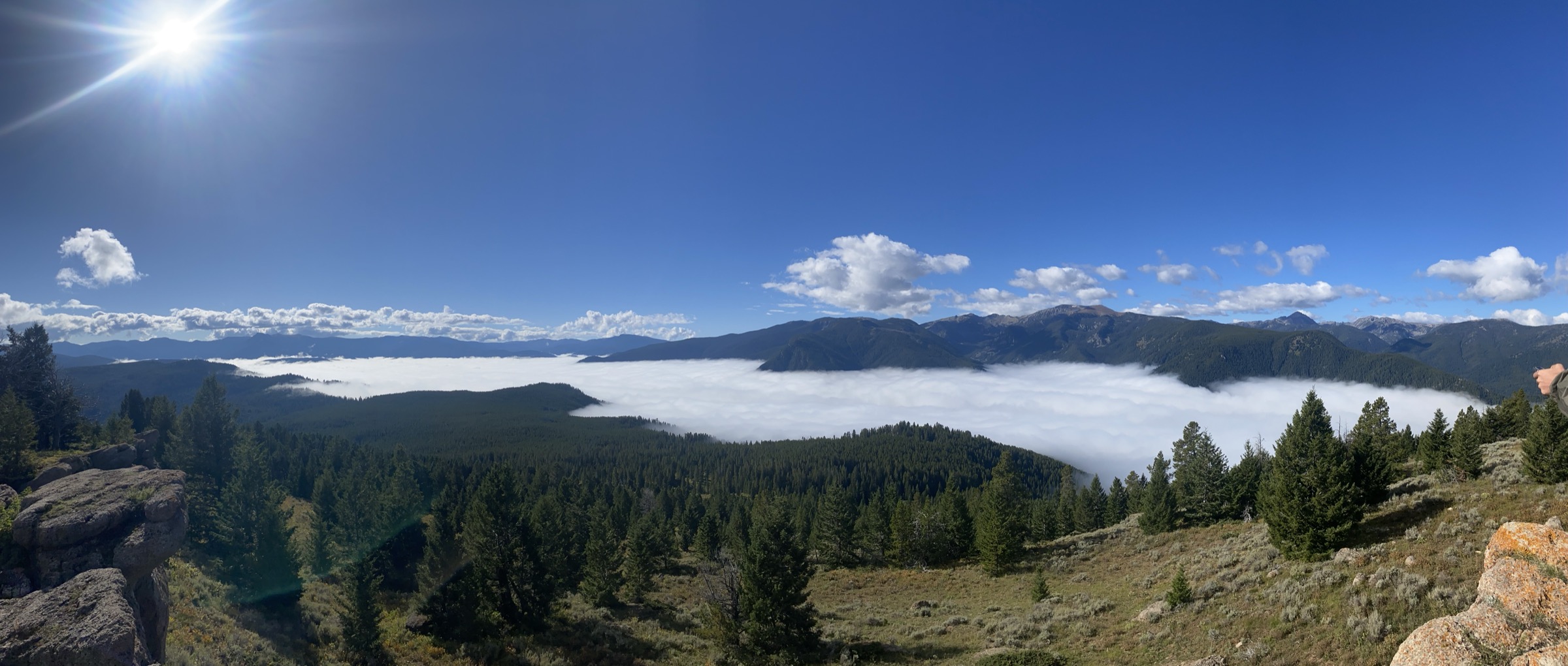
The route climbs forested slopes toward Garnet Mountain’s fire-lookout summit, giving broad views across Gallatin Canyon, the Spanish Peaks / Madison Range and the central Gallatin Range. Return the same way.
Why it is essential
The fire-lookout / working-forest summit tradition on the Gallatin — a different flavour from the Hyalite alpine days and Yellowstone’s park summits, and the best mid-range lookout hike in the range.
Equipment
- Sturdy footwear
- 2 L water
- Layers, sun protection
- Bear spray, navigation
- Traction if snow / ice remains on the upper trail
Hazards and notes
- Road access and parking can be rough or seasonally closed.
- Grizzly-bear country — make noise on the forested approach.
- Storm exposure on the upper slopes.
- Watch footing on the ladder / lookout stairs at the summit.
Routes and maps
| Source | URL |
|---|---|
| AllTrails — Garnet Mountain Trail | alltrails.com |
| Custer Gallatin NF — Bozeman Ranger District | fs.usda.gov |
| OpenStreetMap — Garnet Mountain | openstreetmap.org |
Further reading
5. Bunsen Peak Trail
Snapshot
Itinerary
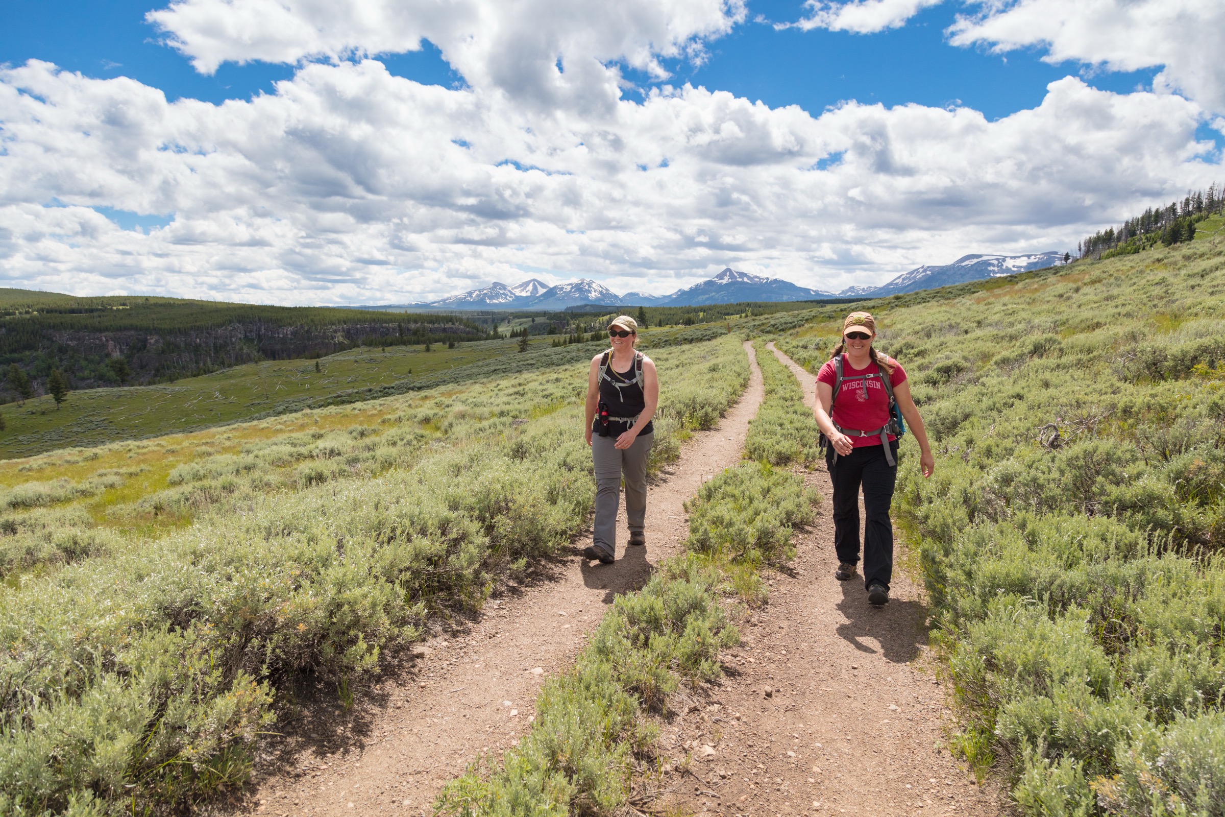
The trail climbs through forest and meadow to Bunsen Peak, passing into open summit terrain with views over Blacktail Deer Plateau, Swan Lake Flat, the Gallatin Range and the Yellowstone River Valley. Return the same way.
Why it is essential
The northern Yellowstone / Gallatin Range classic — a short summit day with strong historical and geologic identity and official NPS route documentation.
Equipment
- Sturdy footwear
- 2 L water
- Sun protection, rain / wind layer, warm layer
- Bear spray and knowledge of use
Hazards and notes
- NPS notes grizzly-bear presence on the route.
- Small trailhead parking area — can fill early on summer days.
- Storm exposure on the summit; retreat if lightning is close.
- Pets are not allowed on Yellowstone trails.
Routes and maps
| Source | URL |
|---|---|
| NPS — Bunsen Peak Trail | nps.gov |
| OpenStreetMap — Bunsen Peak | openstreetmap.org |
Further reading
Region-wide cautions
- The Gallatin Range is grizzly-bear country from Bozeman through northern Yellowstone. Carry bear spray on the belt, make noise on forested approaches and never hike alone at dawn or dusk on the busy Hyalite trails.
- Snow lingers on the high summits (Hyalite Peak, Mount Blackmore) into July; approach roads may hold snow later on the shaded aspects.
- Afternoon thunderstorms are common in summer above 2,500 m; start early and be off the ridges by early afternoon.
- Hyalite Canyon Road access and parking capacity are seasonal and can change year-to-year — verify current status with the Bozeman Ranger District before every trip.
- Cell coverage is unreliable across much of the range; carry a paper map or downloaded topo, and tell someone your plan.
- Pets are not allowed on Yellowstone trails.
Routes excluded
- Electric Peak — a superb Gallatin Range summit but normally a very long, more committing day; better handled in a dedicated big-day article.
- Lava Lake — a fine hike but commonly treated with the Madison / Spanish Peaks side rather than the Gallatin Range proper.
- Sepulcher Mountain and the Mammoth backcountry loops — worthy Yellowstone-area hikes but overlap thematically with Bunsen Peak in a single-selection catalogue.
- Winter and snowshoe routes — a separate discipline; this article covers snow-free-season day-hiking only.
Data and media notes
Route statistics for the four Custer Gallatin summit hikes are drawn from AllTrails route cards and cross-checked with public mountain reference material for summit elevations; no official USFS GPX or KML files were found for these routes. The Bunsen Peak figures use the official NPS route page. Hyalite Canyon Road access and Bunsen Peak parking capacity are seasonal — verify status with the Bozeman Ranger District and with NPS current conditions before travel.