Regional overview
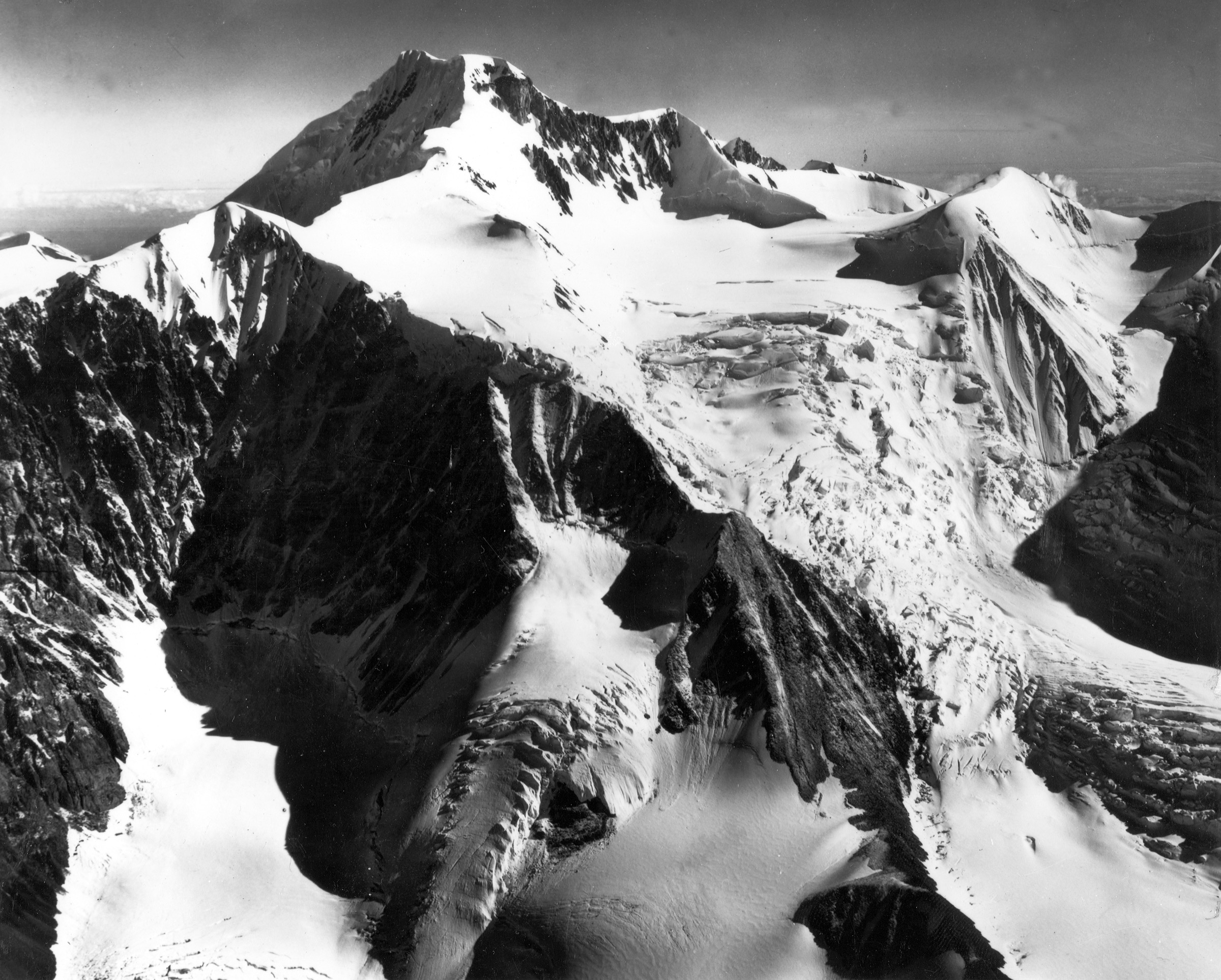
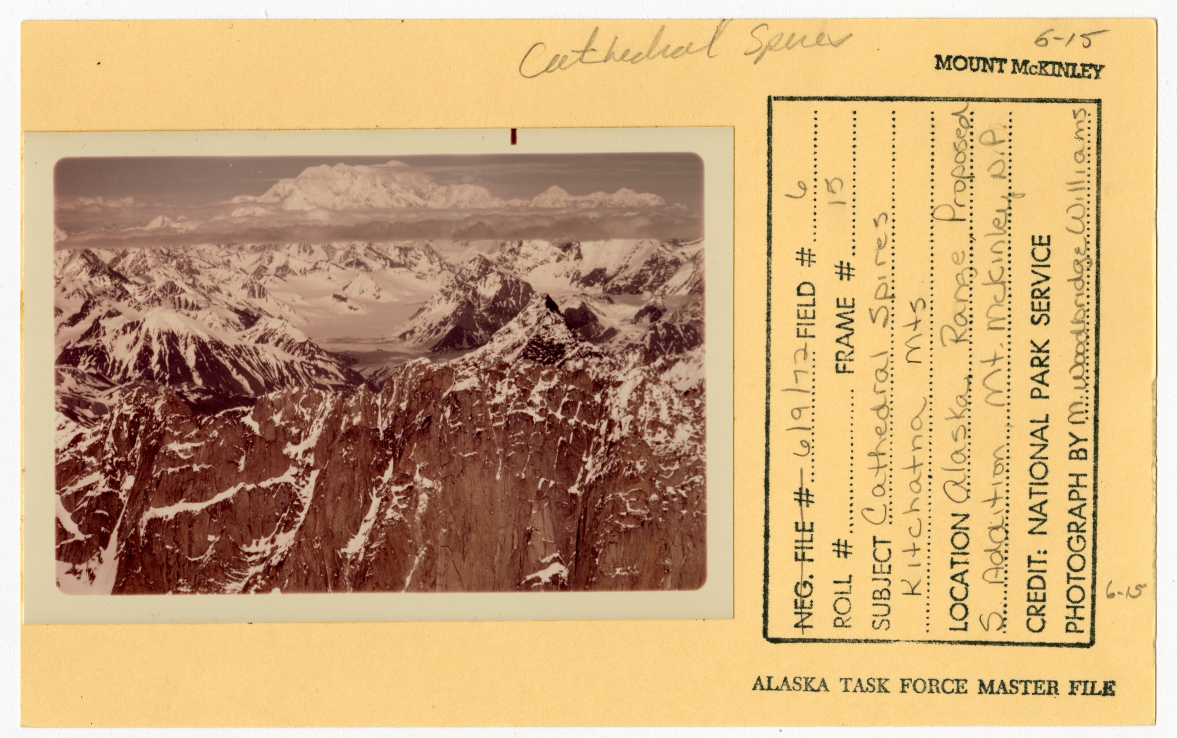
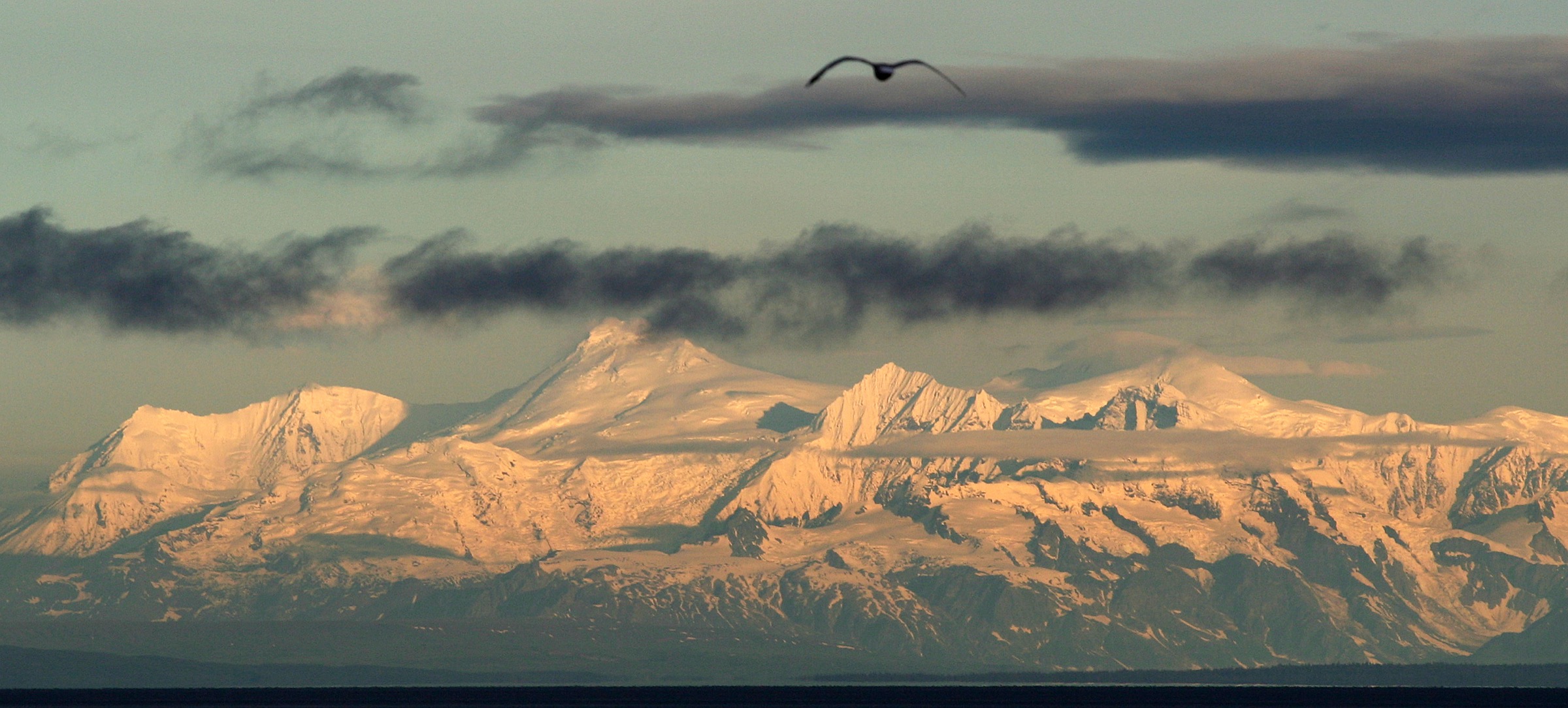
The western Alaska Range is the block of country west and south-west of Denali: the Kichatna Mountains and Kichatna Spires inside Denali National Park and Preserve, the Revelation Mountains south-west of the Kichatnas, the Tordrillo Mountains around Mount Gerdine and Mount Spurr, and the Neacola Mountains on the boundary with Lake Clark National Park and Preserve. The Iditarod National Historic Trail crosses this country from Skwentna over Rainy Pass to Rohn and on towards the Kuskokwim.
The character of the region is fly-in mountaineering ground and winter trail. There are no roads, no maintained summer footpaths, and no publicly documented self-guided day-hike inventory. Access is by wheeled bush plane from Talkeetna or Anchorage, ski plane to glaciers, or (in winter only) the Iditarod Trail. The Denali and central Alaska Range day-hike catalogue is the sister entry east of here.
Catalogue decision
This subregion cannot support a standard “exactly five essential day-hikes” entry. No verified, self-guided, summer-viable day hike with published distance, elevation gain, maximum elevation, and estimated walking time was identified in the sources checked. What exists in the western Alaska Range instead is a winter-only National Historic Trail, private fly-in lodge activity, heli-hiking excursions, and mountaineering objectives that require glacier travel. Building five named hikes to fill the slate would require inventing route status or misrepresenting private lodge activity as public trails, and this entry is published as a research-viability note instead.
Verification summary
| Status item | Result |
|---|---|
| Public five-hike catalogue selection | Not possible from verified sources |
| Maintained summer trails | None documented |
| Road access | None; access is by air taxi from Talkeetna or Anchorage, or the winter Iditarod Trail |
| Iditarod National Historic Trail | Designated winter-only; administered by the BLM Anchorage Field Office |
| Rainy Pass Lodge walks | Guest-only, fly-in, bundled inside multi-night packages |
| Tordrillo Mountain Lodge activity | Heli-hiking excursions, not stand-alone public day hikes |
| Farewell Lake Lodge | Destroyed in the Turquoise Lake wildfire, June 2010 |
| Route statistics for the Kichatnas, Revelations, Neacolas, and Tordrillos | Not published for public day-hike catalogue use |
| GPX / KML / source route files | None found for summer day-hiking use |
What the region actually offers
The Iditarod National Historic Trail — winter only
The Iditarod was designated a National Historic Trail by Congress in 1978. The Bureau of Land Management describes it as the only winter trail in the National Trails System. The main trail runs approximately 1,000 miles from Seward to Nome with an additional 1,400 miles of side and connecting trails, and is administered by the BLM Anchorage Field Office in cooperation with the U.S. Forest Service, National Park Service, State of Alaska, and Native corporations. The western Alaska Range crossing over Rainy Pass and down to Rohn is the most spectacular section of the trail, but it is not documented as a summer footpath and is not marketed as one; boggy tundra, unbridged river crossings, and the absence of maintenance make it a winter-only travel corridor in practice.
Rainy Pass Lodge — private fly-in lodge walks
Rainy Pass Lodge, on Puntilla Lake at the foot of Rainy Pass, was founded in 1937 and is the region’s oldest permanent visitor facility. It is fly-in only and access is bundled inside multi-night lodge packages rather than sold as day-hike bookings. The publicly listed short walks are Monument Hill (a boat crossing of Puntilla Lake followed by an approximately 1,000-foot climb on horse and caribou paths to a summit cairn with views of Ptarmigan Valley and the Hanging Glacier), Look Out Hill (a shorter walk of about 600 feet of climb, used as a picnic-lunch destination), and Squaw Creek (a short walk over a low hill from the lake, used for gold panning and grizzly-track spotting). None of these are public routes.
Tordrillo Mountain Lodge — heli-hiking
Tordrillo Mountain Lodge, roughly forty flying minutes west of Anchorage, markets heli-hiking rather than stand-alone day hikes. Guests are helicoptered to hiking terrain across a wide area that can include Denali National Park and Katmai. Packages are quoted as all-inclusive and are not a substitute for a public day-hike inventory.
Farewell Lake Lodge — no longer operating
Farewell Lake Lodge, a long-standing Iditarod Trail checkpoint, was destroyed in June 2010 during the Turquoise Lake wildfire. The main lodge, four cabins, and outbuildings were lost. The site has not returned as a summer walking base.
Land management units
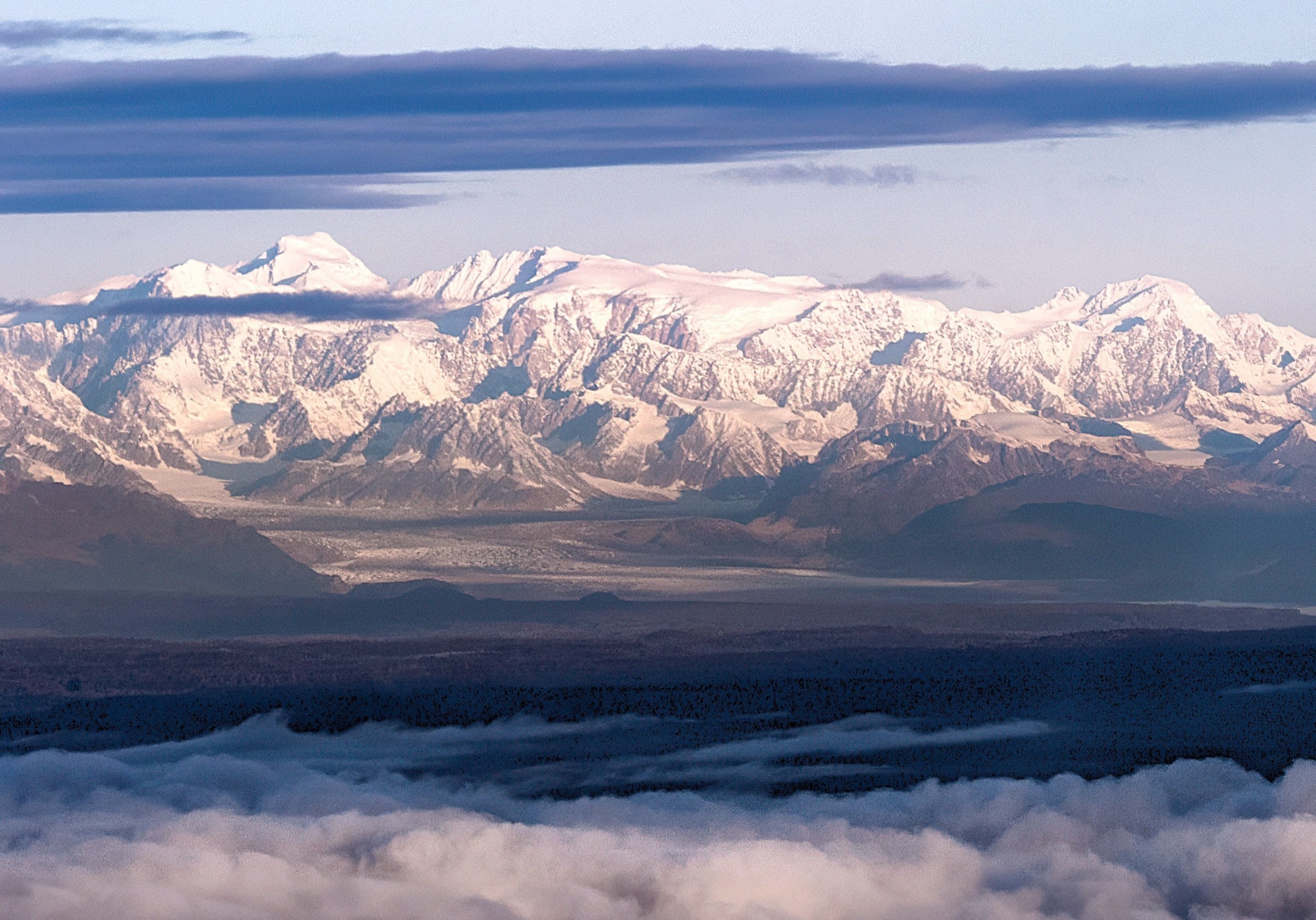
The Bureau of Land Management’s Anchorage Field Office administers the Iditarod National Historic Trail and the Rohn public shelter cabin. Lake Clark National Park and Preserve’s western and northern boundary abuts the Neacola Mountains and the Chigmit Mountains, but Lake Clark’s published day-hike inventory is limited to the Port Alsworth area — Tanalian Falls, Tanalian Mountain, Kontrashibuna Lake, and the Beaver Pond loop — which sits more than one hundred miles east of the Neacolas and outside the western Alaska Range as defined here. Denali National Park and Preserve extends west to include the Kichatna Spires but publishes no maintained trails there.
Missing data and follow-up work
- Locate any authoritative summer trail documentation for the Iditarod corridor west of Rainy Pass, if such documentation exists for local or research use.
- Confirm whether any Alaska State Parks, Alaska Department of Natural Resources, or BLM subunit publishes a self-guided day-hike inventory in the region that was missed in this pass.
- Source additional open-licence photography of the Revelation Mountains, Neacola Mountains, and Rainy Pass / Puntilla Lake — no CC-licensed image of these three subranges was located in this pass.
Further reading
| Source | URL |
|---|---|
| BLM — Iditarod National Historic Trail programme page | blm.gov |
| BLM Visit — Iditarod National Historic Trail | blm.gov |
| NPS — Lake Clark National Park and Preserve, Mountains | nps.gov |
| NPS — Lake Clark day hikes (Port Alsworth vicinity) | nps.gov |
| Iditarod Historic Trail Alliance | iditarod100.org |
| Denali and central Alaska Range day-hike catalogue | /articles/usa-alaska-mountains-alaska-range-denali-central-alaska-range-essential-day-hikes/ |