Regional overview
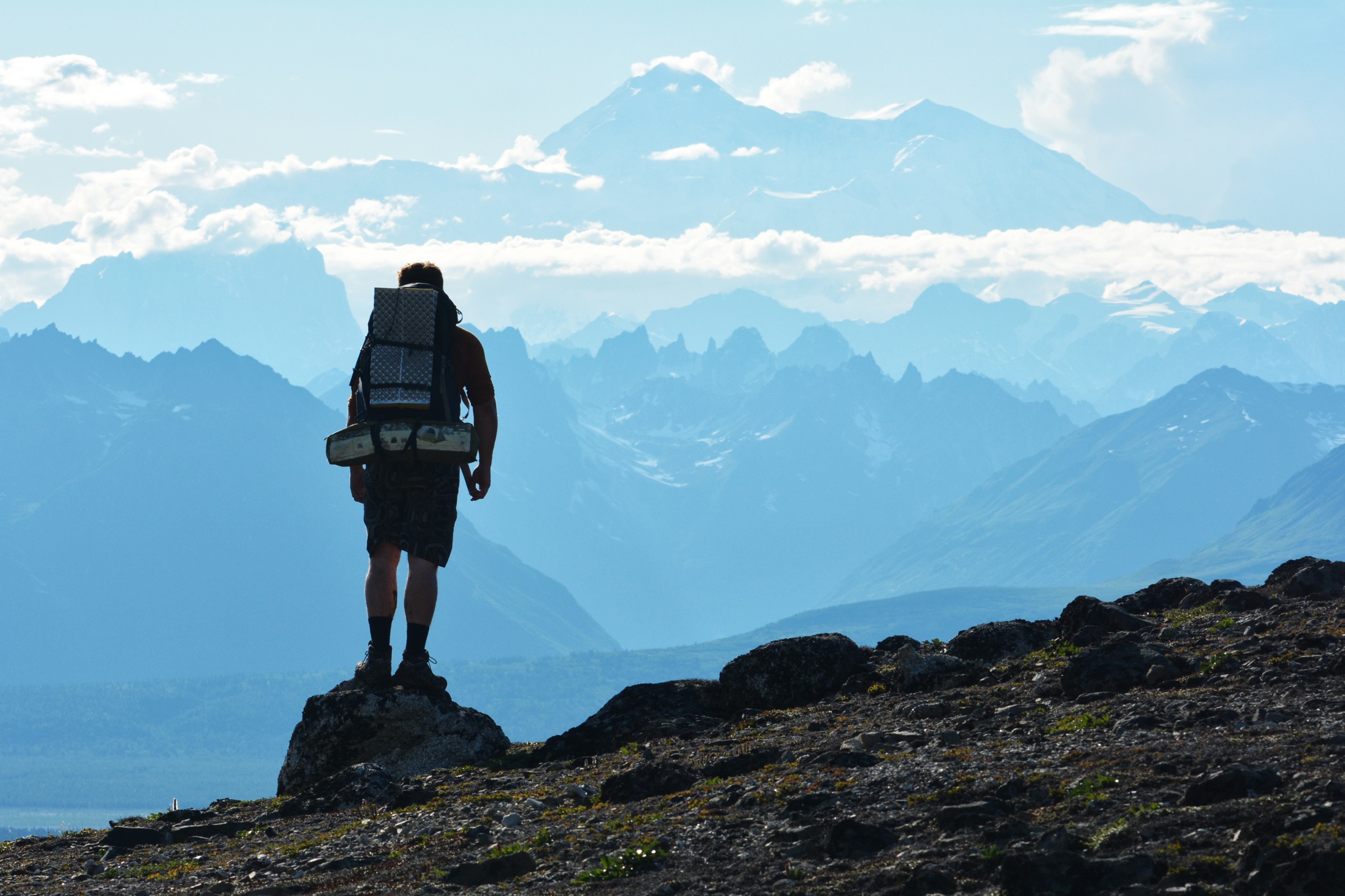
The central Alaska Range around Denali is the most-hiked block of the entire range. The Parks Highway runs its whole eastern flank, giving trailhead-style access to two federal park units: Denali National Park and Preserve at its northern end and Denali State Park about 130 kilometres to the south. Between them the Alaska Railroad’s Denali Star route and the Talkeetna–Anchorage bus network make it possible to reach every day-hike in this catalogue without a private vehicle in either direction.
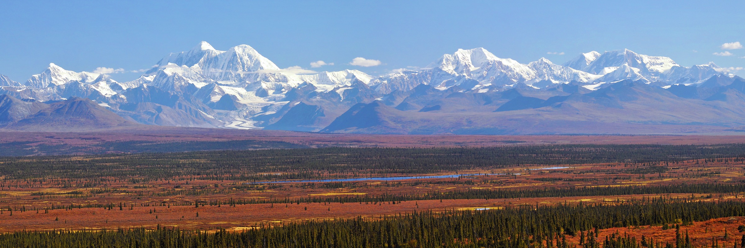
The character of the walking is boreal forest and taiga on the valley floors, spruce and paper birch on the lower shoulders, and open alpine tundra above about 750 metres. Views from the Mount Healy and Savage Alpine ridges are of the eastern Alaska Range’s interior peaks; the Kesugi Ridge crest across the Chulitna valley faces the entire south face of Denali when the mountain is out. The higher tundra crests hold snow into mid-June and can see fresh snow again by early September.
Access changed materially in 2021. The Pretty Rocks Landslide has severed the Denali Park Road at Mile 43 and the National Park Service currently projects a full reopening to Wonder Lake and Kantishna in 2027. Private vehicles reach Mile 15 (Savage River); NPS transit buses reach Mile 43. All five hikes below sit east of the closure and are unaffected. The Western Alaska Range research-viability note is the sister entry to the west and the Eastern Alaska Range day-hike catalogue is the sister entry to the east.
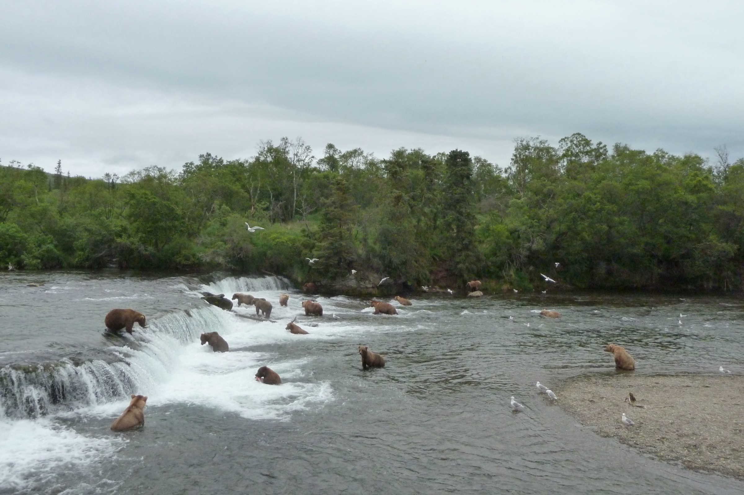
Denali National Park and Preserve is bear country: black bears in the boreal forest around the entrance and grizzly bears above tree line. NPS mandates bear-aware behaviour throughout the park, and the same guidance applies across Denali State Park.
Selection rationale
The selected hikes cover both federal units and the four distinct hiking characters of the region: a steep NPS front-country climb to an interior-range viewpoint (Mount Healy), the classic NPS Mile 15 alpine ridge (Savage Alpine), the park’s longest maintained trail through boreal lakes (Triple Lakes), the state park’s iconic Denali-facing tundra traverse (Kesugi Ridge from Little Coal Creek), and an accessible lake loop that shares the Denali State Park trail network with the Kesugi routes (Byers Lake).
Summary table
| # | Hike | Country | Route type | Distance | Gain | Max elevation | Difficulty |
|---|---|---|---|---|---|---|---|
| 1 | Mount Healy Overlook Trail | USA | Out-and-back | 5.4 km | ~520 m | ~1,067 m | Strenuous |
| 2 | Savage Alpine Trail | USA | Point-to-point | 6.4 km | ~460 m | ~1,100 m | Strenuous |
| 3 | Triple Lakes Trail | USA | Point-to-point | 15.3 km | ~305 m | ~730 m | Moderate to strenuous |
| 4 | Kesugi Ridge — Little Coal Creek to Ermine Hill | USA | Point-to-point | ~28.6 km | ~1,200 m | ~1,160 m | Very strenuous |
| 5 | Byers Lake Loop | USA | Loop | ~8 km | <30 m | ~213 m | Easy |
1. Mount Healy Overlook Trail
Snapshot
Itinerary
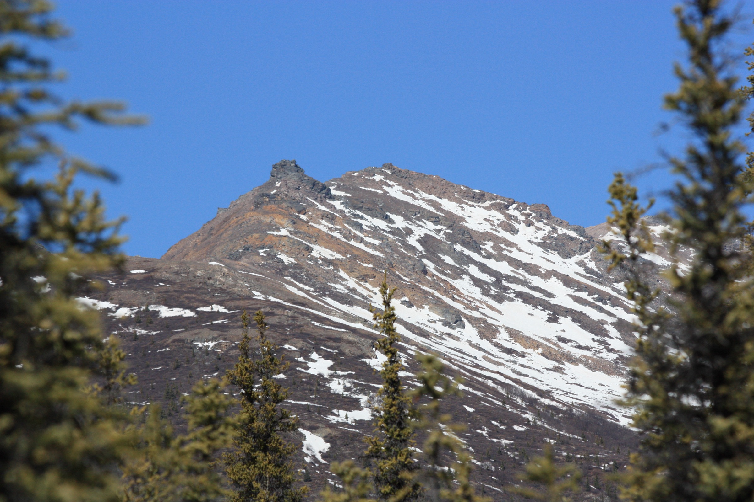
The route leaves the Horseshoe Lake Trail near the Denali Visitor Center and climbs steeply through spruce, aspen, and paper birch before breaking out onto open subalpine tundra. The final section works up a series of steep switchbacks and open slopes to the marked overlook. Views open across the Nenana River valley and north into the Outer Range. The descent reverses the ascent.
Why it is essential
Mount Healy Overlook is the classic front-country climb of Denali National Park — the first serious alpine viewpoint reachable on foot from the entrance area without a bus or private vehicle. It sets the physical benchmark for a Denali visit.
Equipment
Standard mountain hiking equipment: boots with good grip on loose scree, layered clothing, rain shell, wind layer, hat and sun protection, map, water (there are no reliable sources on the upper trail), food, bear spray, and a small first-aid kit. Trekking poles help on the descent.
Hazards and notes
Fatal falls have occurred beyond the maintained end of the trail; the unofficial summit push to Mount Healy proper is dangerous and not sanctioned by NPS. Wind at the overlook can be strong even on calm days at the visitor center. Grizzly and black bear both use the ridge — the NPS bear-safety guidance applies. The trail is open when it is snow-free, usually late May through mid-September.
GPX / KML links
Further reading
2. Savage Alpine Trail
Snapshot
Itinerary
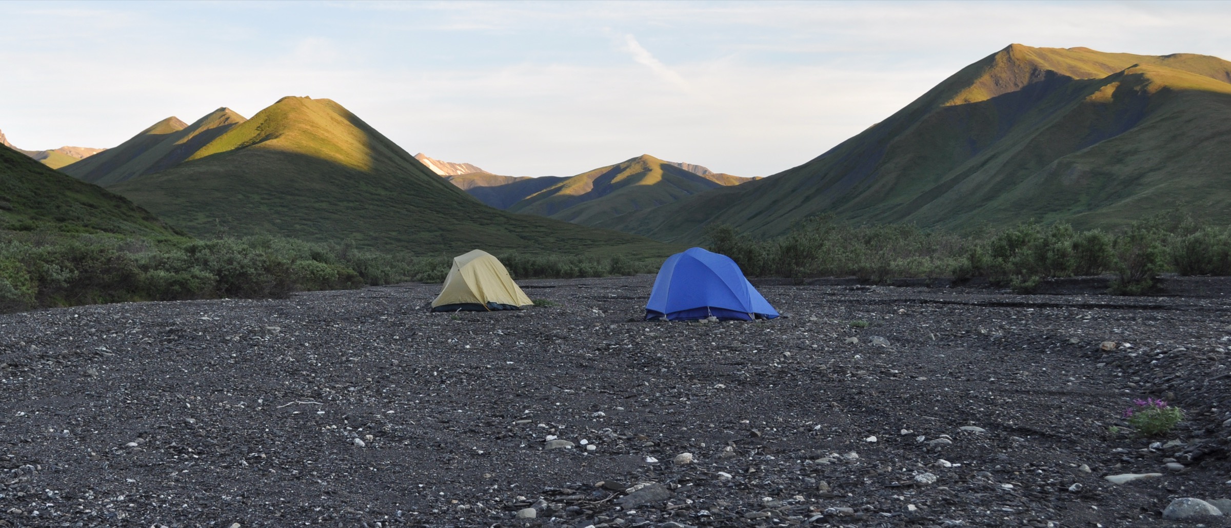
From Mountain Vista at Mile 13, the trail climbs steeply through spruce onto open tundra and up onto a broad ridge with wide views south to the Alaska Range interior and north across the Nenana. It follows the crest for roughly two kilometres before dropping to the Savage River day-use area at Mile 15, where the Savage Shuttle picks up. In reverse it climbs harder from the Savage River side. Combining it with the Savage River Loop below the ridge extends the day to about 13 kilometres.
Why it is essential
The Savage Alpine Trail is the classic Mile 15 alpine walk of Denali — the only maintained trail in the park that crosses continuous alpine tundra with the interior Alaska Range in view. It gives the essential above-treeline experience of Denali without needing a transit bus.
Equipment
Standard mountain hiking equipment: boots with good grip, wind and rain shell, layered clothing, hat and sun protection, sufficient water for the day (there is nothing reliable on the ridge), food, bear spray, first-aid kit. Sunglasses are useful on the exposed sections in clear weather.
Hazards and notes
The ridge is fully exposed to wind and sudden weather; cold rain and snow flurries are possible any month of the summer. Grizzly and black bear both use the area; the open sightlines are an advantage for spotting them at a distance. There is no water on the ridge, so plan to carry the day’s supply.
GPX / KML links
| Source | URL | Format / access | Reuse status |
|---|---|---|---|
| NPS — Denali day hiking | nps.gov | Official trail overview | US federal public-domain content |
| NPS — Savage River Loop | nps.gov | Official loop-trail page | US federal public-domain content |
| NPS — Denali GIS/GPS data | nps.gov | Official hiking-trails KMZ download | US federal public-domain content |
Further reading
3. Triple Lakes Trail
Snapshot
Itinerary
From the Denali Visitor Center, the McKinley Station Trail links into the northern end of the Triple Lakes Trail. The route climbs onto a boreal ridge with lake views before dropping to the three lakes on the mid-section, then contours out to the Tsenesdghaas Na’ Trailhead on the Parks Highway ten kilometres south of the park entrance. It is the longest maintained trail in Denali National Park and is inside designated Wilderness for most of its length, so the National Park Service’s Wilderness group-size limit of twelve people applies.
Why it is essential
Triple Lakes is the park’s only long boreal-forest and lake trail. It offers a completely different day than the Mount Healy or Savage Alpine ridges: dense spruce, active beaver country, and quiet lakes, still inside the national park.
Equipment
Standard hiking equipment for a full-day walk: boots, layered clothing, rain shell, water (streams are unreliable outside of the lake basins), food, insect repellent for mosquito season, bear spray, map. Trekking poles are useful on the steeper southern climb.
Hazards and notes
Mosquitoes can be intense from mid-June through July. The trail crosses several creek bridges that vary in condition through the season. Group-size limit of twelve applies inside the Wilderness. The trail is bear habitat throughout — both grizzly and black bears use the corridor, and vocalisation is standard practice on the vegetated sections.
GPX / KML links
| Source | URL | Format / access | Reuse status |
|---|---|---|---|
| NPS — Triple Lakes Trail | nps.gov | Official trail page | US federal public-domain content |
| NPS — Triple Lakes trail map PDF | nps.gov | Official trail map PDF | US federal public-domain content |
| NPS — Denali GIS/GPS data | nps.gov | Official hiking-trails KMZ download | US federal public-domain content |
Further reading
4. Kesugi Ridge — Little Coal Creek to Ermine Hill
Snapshot
Itinerary
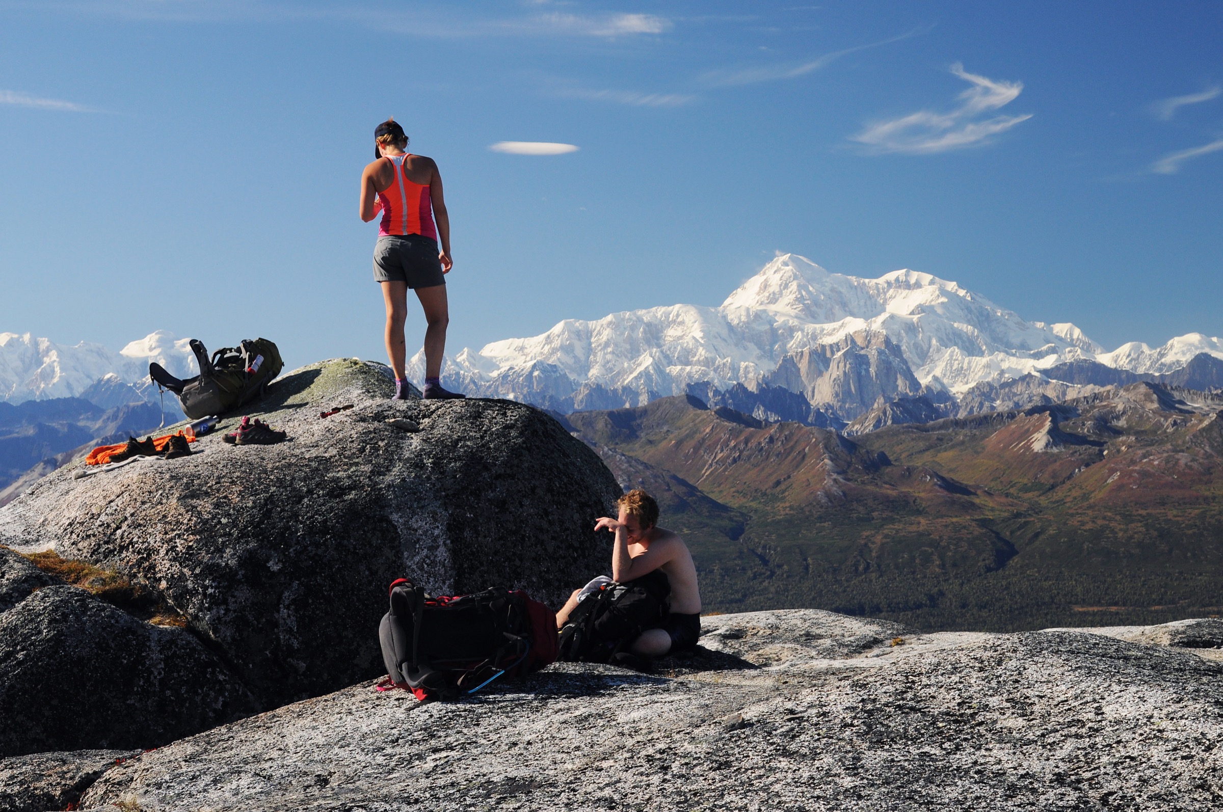
The Little Coal Creek Trail climbs steeply from the Parks Highway through spruce and cottonwood, breaks onto open subalpine tundra, and reaches the Kesugi Ridge crest at about 1,000 metres. The crest runs south for roughly 17 kilometres over open tundra, past named high points and small tarns, with the whole south face of Denali across the Chulitna valley when the mountain is out. The Ermine Hill Trail drops steeply back to the Parks Highway at Mile 156.5. The full traverse is a long day; day-hikers frequently prefer either the Little Coal Creek out-and-back to the ridge crest or the Ermine Hill up-and-over.
Why it is essential
Kesugi Ridge is Denali State Park’s signature route and the classic Denali-view walk of the entire central Alaska Range. No other continuous alpine ridge on the road system sits directly opposite Denali’s south face, and no other route better represents the state park’s tundra character.
Equipment
Mountain hiking equipment for a long day: sturdy boots, layered clothing, rain shell, wind layer, hat and gloves (weather can turn quickly on the ridge), map/GPS with waypoints, headtorch (for a long full-traverse day), water and treatment or filter (limited sources on the crest), food, insect repellent, bear spray, first-aid kit, and a satellite communicator. Trekking poles help on both the steep climb from Little Coal Creek and the descent to Ermine Hill. A $5 Alaska State Parks day-use parking fee applies at both trailheads.
Hazards and notes
The ridge is fully exposed to wind and cloud; visibility can collapse within an hour and navigation becomes serious in low cloud. Water sources on the crest are limited and inconsistent. Grizzly and black bears use the tundra benches and creek gullies; Alaska State Parks documents seasonal closures for bear activity — check current status before departure. Snow can linger into late June on the crest and can return by early September.
GPX / KML links
| Source | URL | Format / access | Reuse status |
|---|---|---|---|
| Alaska DNR — Denali State Park | dnr.alaska.gov | Official park page | State of Alaska content |
| Alaska DNR — K’esugi Ridge Trail System North PDF | dnr.alaska.gov | Official trail map PDF | State of Alaska content; no official GPX published |
| Alaska DNR — K’esugi Ridge Trail System South PDF | dnr.alaska.gov | Official trail map PDF | State of Alaska content; no official GPX published |
Further reading
- Alaska DNR — Denali State Park
- Alaska DNR — K’esugi Ridge Trail System North PDF
- Alaska DNR — K’esugi Ridge Trail System South PDF
5. Byers Lake Loop

Snapshot
Itinerary
The trail leaves Byers Lake Campground on the eastern shore and follows the lake edge through boreal forest, crossing Byers Creek on a footbridge at the far end and continuing around the western shore back to the campground. A short spur climbs to the historic Alaska Veterans Memorial. When both lakeshore bridges are open the walk is a full loop; when the southern bridge is closed, it is walked as an out-and-back to the northern bridge and back.
Why it is essential
Byers Lake is the accessible entry point to the Denali State Park trail network. It sits at the foot of Kesugi Ridge and doubles as the trailhead for the Cascade Trail’s connector up to the ridge crest — the correct choice for a slower day, a first Denali-area hike, or a rest day between higher walks.
Equipment
Standard hiking equipment: shoes with good grip, layered clothing, rain shell, water, food, insect repellent, bear spray, and a small first-aid kit. No specialist gear is required.
Hazards and notes
Byers Lake sits in active grizzly and black bear country. Alaska State Parks specifically warns that the salmon spawn in Byers Creek from late July into early August draws bears close to the footbridges, and vocalisation and bear spray are standard practice. A $5 Alaska State Parks day-use parking fee applies. Confirm whether both lakeshore bridges are open before setting out — the southern bridge has been closed in recent seasons.
GPX / KML links
| Source | URL | Format / access | Reuse status |
|---|---|---|---|
| Alaska DNR — Denali State Park | dnr.alaska.gov | Official park page | State of Alaska content |
| Alaska DNR — K’esugi Ridge Trail System South PDF | dnr.alaska.gov | Official trail map PDF (includes Byers Lake) | State of Alaska content; no official GPX published |