Regional overview
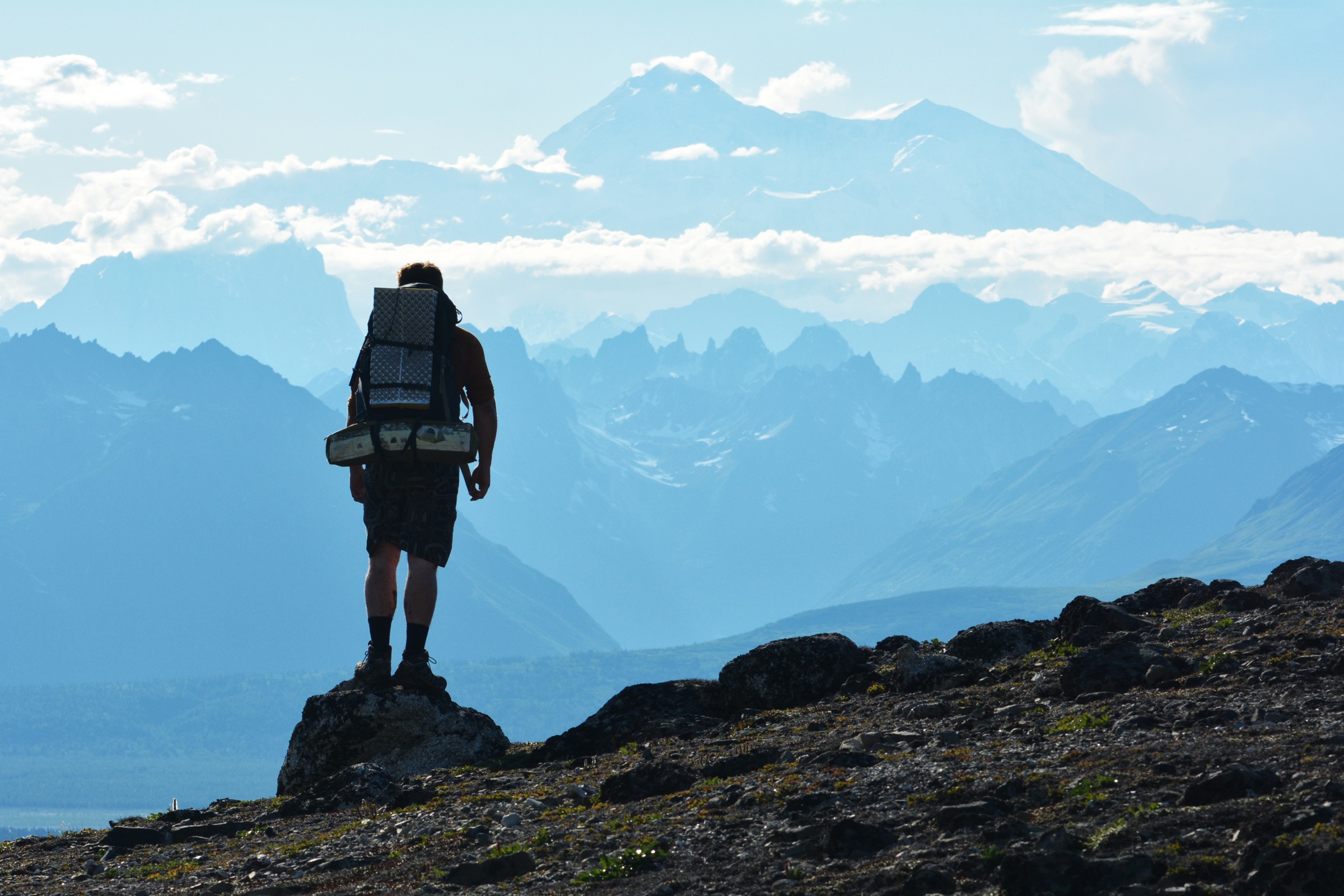
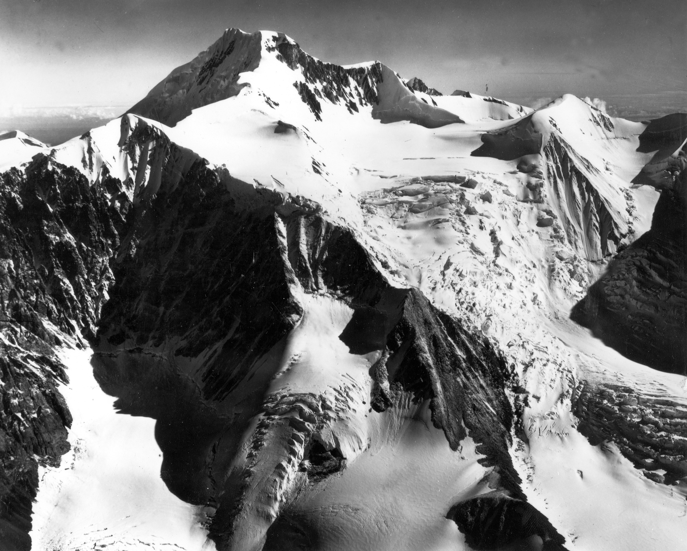
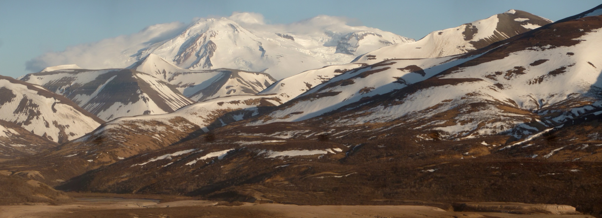
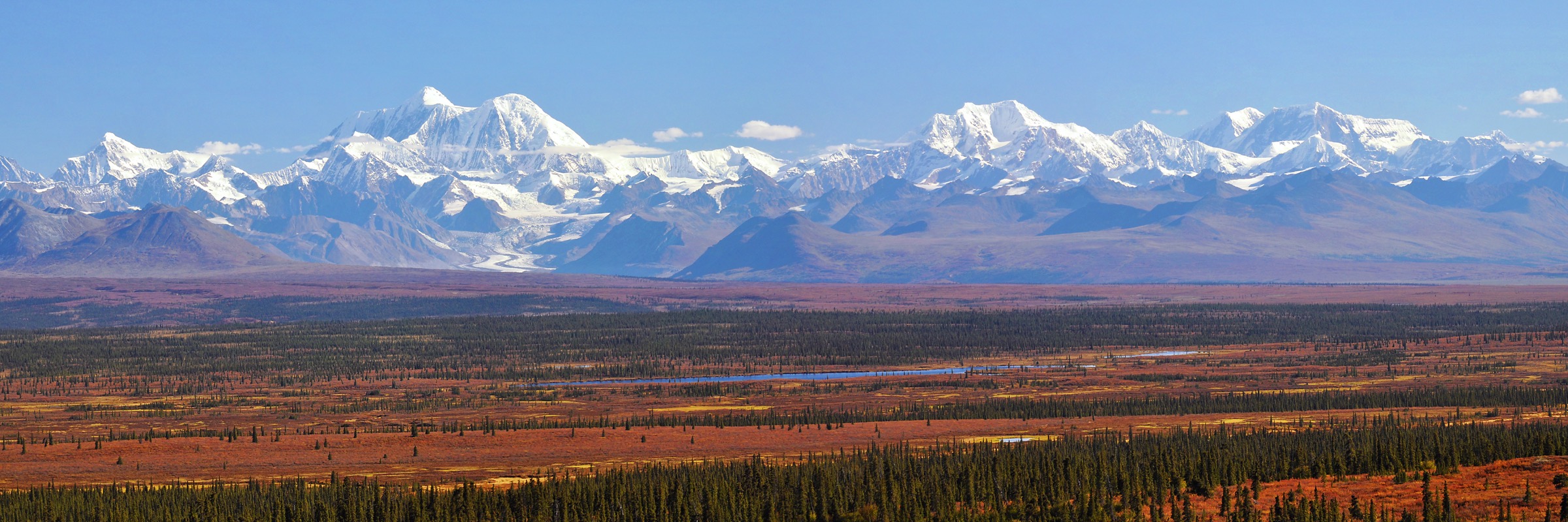
The eastern Alaska Range is the block of country reachable from the Richardson Highway, the east end of the Denali Highway, and the Nabesna Road at Slana. It runs from the Delta Range around Donnelly Dome and Rainbow Ridge east through the Amphitheater Mountains and the Tangle Lakes district and on into the Mentasta and Nutzotin Mountains where the range steps down towards the Wrangells. Mount Hayes at 4,216 m is the eastern range’s high point and the visual centrepiece of the whole area.
The character of the walking is open subalpine and alpine tundra with a very limited maintained-trail network. On the Richardson Highway the iconic tundra summits — Donnelly Dome, Rainbow Ridge, the Gulkana Glacier approaches — are all informal routes without published Bureau of Land Management or National Park Service trail data. Along the eastern Denali Highway the BLM has developed a small set of short, waymarked walks around Tangle Lakes. On the Nabesna Road, the National Park Service publishes a set of short backcountry trails into the northern Wrangell-St. Elias front where the eastern Alaska Range steps into the Nutzotin Mountains.
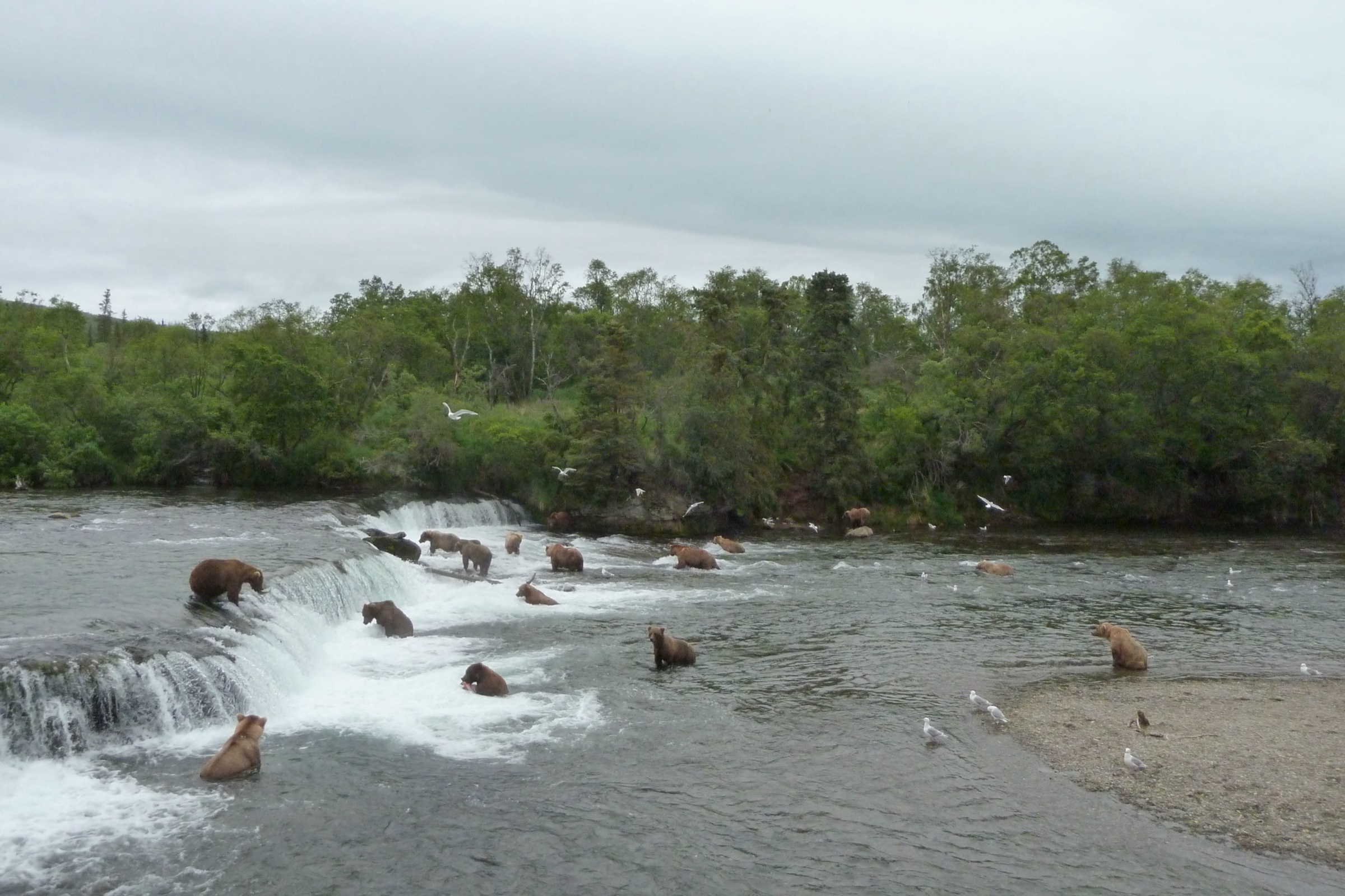
Access is by private vehicle and there is essentially no scheduled public transport. The Denali and central Alaska Range day-hike catalogue is the sister entry to the west. Grizzly and black bear both range throughout the region; the eastern Denali Highway and Nabesna Road both cross remote country and satellite communication, bear spray, and conservative water-crossing judgement are baseline requirements.
Selection rationale
Four of the five hikes rest on official published trail data from either the Bureau of Land Management or the National Park Service, giving verified distance, elevation gain, and maximum elevation. The fifth, Donnelly Dome, is included because it is the single most iconic Delta Range summit and cannot honestly be left out — but it is marked as a candidate-only entry because there is no official BLM or NPS trail publication and access to the peak crosses the U.S. Army’s Donnelly Training Area, which requires a recreational access permit. Together the five hikes cover the Delta Range, the eastern Denali Highway, and the Nabesna Road approaches into the range’s far eastern margin.
Summary table
| # | Hike | Country | Route type | Distance | Gain | Max elevation | Difficulty |
|---|---|---|---|---|---|---|---|
| 1 | Donnelly Dome (candidate only) | USA | Off-trail out-and-back | ~4 km reported | ~500 m reported | 1,168 m | Strenuous |
| 2 | Swede Mountain Trail | USA | Out-and-back | ~1.6 km | ~457 m | Variable | Strenuous |
| 3 | Tangle Lakes Foot Trail | USA | Out-and-back | ~1.6 km developed | Minor | Variable | Easy |
| 4 | Caribou Creek Trail | USA | Out-and-back | ~10 km | ~245 m | Variable | Moderate |
| 5 | Skookum Volcano Trail | USA | Out-and-back | ~8 km | ~550 m | ~1,463 m | Moderate |
1. Donnelly Dome — candidate only
Snapshot
Itinerary
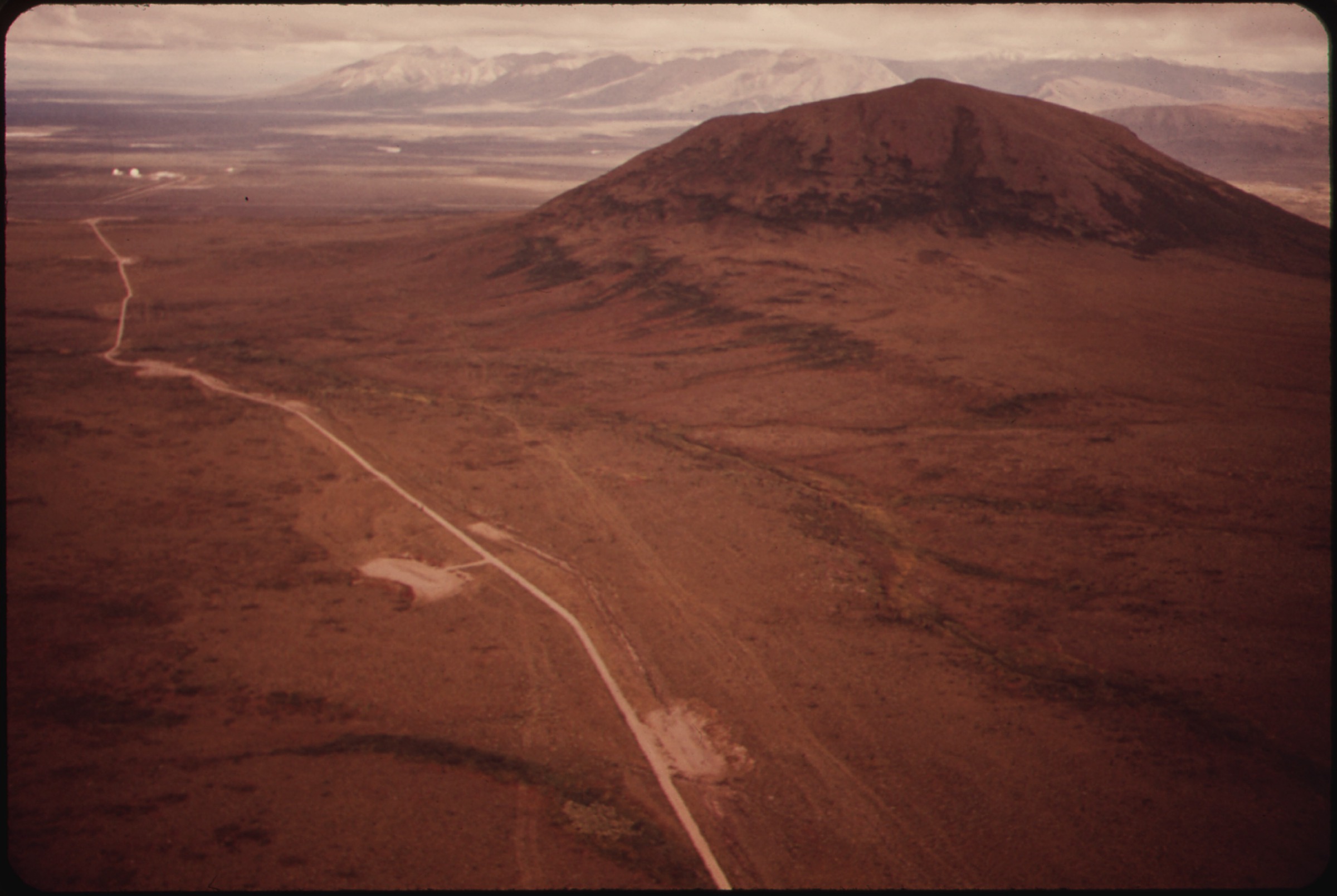
The route leaves the Richardson Highway on tundra and open birch on the western flank of the Dome and climbs an unmarked line to the summit dome, which stands isolated above the flats between the Delta and Alaska Ranges. From the top the view runs south to Mount Hayes and the interior peaks and north across the Tanana lowlands. The descent reverses the ascent.
Why it is essential
Donnelly Dome is the single most recognisable peak of the Delta Range and the first summit any Richardson Highway traveller sees. Reaching the top is the iconic tundra summit of the eastern range even though no agency publishes a route file.
Equipment
Mountain hiking equipment for a full off-trail day: sturdy boots, gaiters, layered clothing, rain shell, wind layer, hat and sun protection, map/GPS with waypoints, satellite communicator, water and treatment, food, bear spray, and a small first-aid kit.
Hazards and notes
There is no marked trail. The approach and ascent cross the U.S. Army’s Donnelly Training Area, which requires a recreational access permit obtained through the U.S. Army iSportsman / USARTRAK system before entry. Training-area status can close public recreational access at short notice. Weather can change quickly on the summit and both grizzly and black bear use the flats and lower slopes.
GPX / KML links
| Source | URL | Format / access | Reuse status |
|---|---|---|---|
| Wikipedia — Donnelly Dome | en.wikipedia.org | Background summary | Context only |
| Salcha-Delta Soil and Water Conservation District — Donnelly Dome | salchadeltaswcd.org | Local land-management overview | Context only |
Further reading
2. Swede Mountain Trail
Snapshot
Itinerary
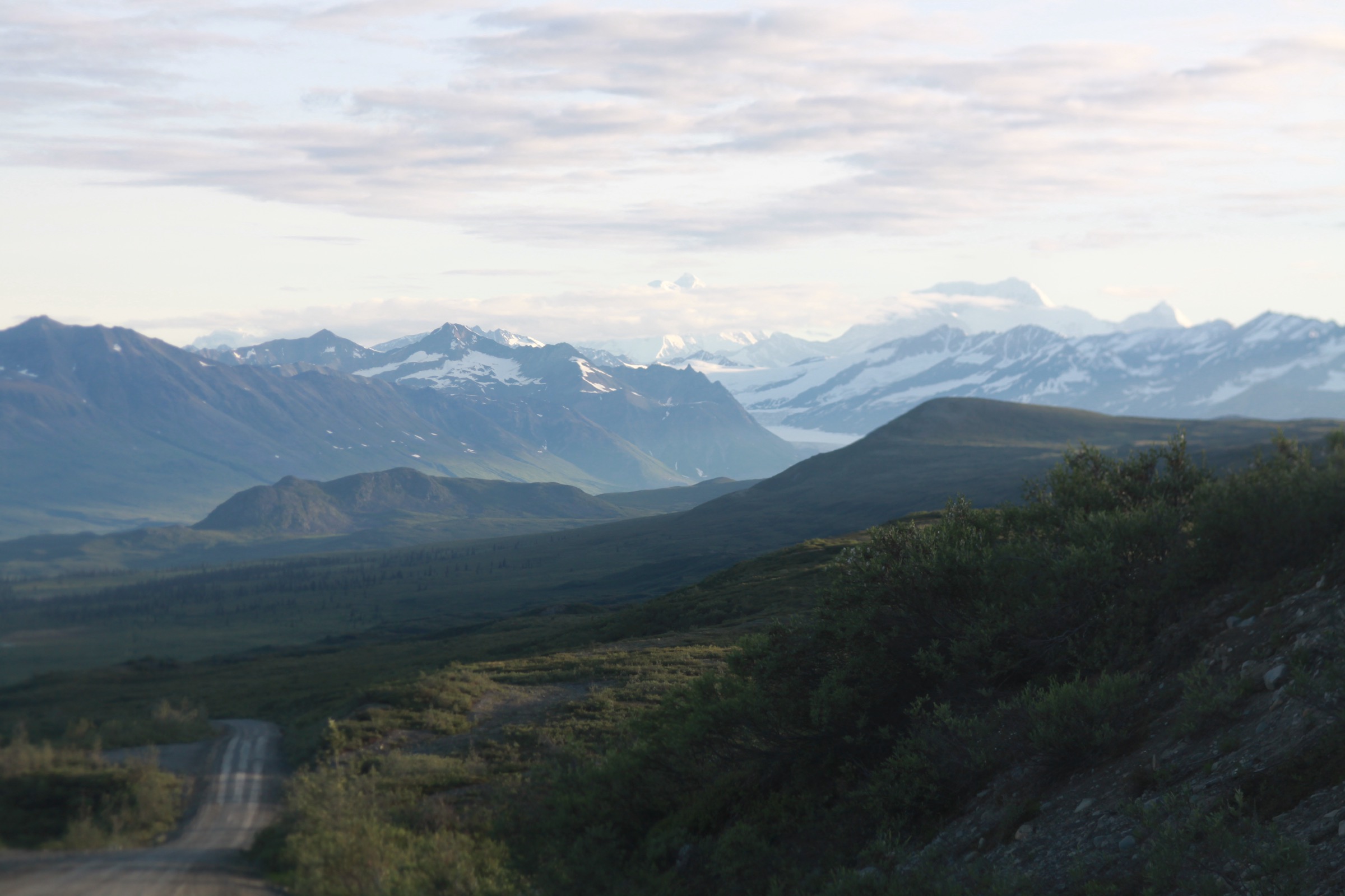
The trail leaves a paved pull-off on the Denali Highway and climbs steeply from wet tundra through willow onto open subalpine tundra above the highway. The first several hundred metres are boggy; the trail firms up as the gradient steepens. The high point opens views south across the Tangle Lakes country and north into the eastern Alaska Range’s high peaks. Return is by the ascent line.
Why it is essential
Swede Mountain is the highest-yielding short walk on the Denali Highway — the fastest way from the road to an open alpine viewpoint over the Amphitheater Mountains and the Alaska Range crest.
Equipment
Standard mountain hiking equipment: sturdy boots (the wet start rewards waterproof footwear), gaiters, layered clothing, wind and rain shell, water and food, bear spray, and a small first-aid kit. Trekking poles help on the descent.
Hazards and notes
The initial section is wet and boggy for the first several hundred metres. Above that the tread is unmaintained tundra with no signage. Weather on the ridge is fully exposed. Grizzly and black bear use the tundra benches.
GPX / KML links
Further reading
3. Tangle Lakes Foot Trail
Snapshot
Itinerary
The trail leaves the Tangle Lakes Campground and follows an esker ridge above the lakes with open views of the Tangle Lakes system to the south and the Amphitheater Mountains to the north-west. The developed section ends at a marked turnaround; walkers frequently continue on the unmaintained tundra towards Landmark Gap Creek. The trail crosses land inside the Tangle Lakes Archaeological District, a National Register site with rules that prohibit removing or disturbing archaeological materials.
Why it is essential
Tangle Lakes is the introductory walk of the eastern Denali Highway — the correct starting point for anyone new to the tundra country, sitting inside one of Alaska’s most important archaeological landscapes.
Equipment
Standard hiking equipment: shoes with good grip, layered clothing, rain shell, water, food, insect repellent (mosquitoes can be intense mid-summer), bear spray, and a small first-aid kit.
Hazards and notes
Mosquitoes can be intense in July. The archaeological district prohibits removing artefacts, disturbing surface materials, or off-road vehicle use — walk on the trail. Grizzly and black bear both use the tundra; bear spray is standard practice. There are no signposts beyond the marked developed section.
GPX / KML links
Further reading
4. Caribou Creek Trail
Snapshot
Itinerary
The trail leaves a pull-off on the Nabesna Road at Mile 19.5 and climbs a low ridge through open spruce and taiga onto tundra benches with views towards the eastern Alaska Range front and the Mentasta Mountains. It descends briefly to the Caribou Creek public-use cabin, which is bookable through the National Park Service Recreation.gov system. The out-and-back reverses the outbound route.
Why it is essential
Caribou Creek is the most accessible walk on the Nabesna Road, entering the eastern Alaska Range–Wrangell-St. Elias transition where the range steps into the Nutzotin Mountains. It gives the character of the Mentasta approach without requiring a river crossing or off-trail navigation.
Equipment
Standard hiking equipment: sturdy boots, layered clothing, rain shell, water and treatment or filter, food, insect repellent, bear spray, and a small first-aid kit. If overnighting in the public-use cabin, add sleeping and cooking gear.
Hazards and notes
Sections of the trail are wet and boggy through the season. Beyond the cabin the route is unmaintained and unmarked; the return should be on the outbound line. Grizzly and black bear both use the tundra benches and creek gullies, and vocalisation and bear spray are standard practice on the vegetated sections. Nabesna Road itself is unpaved beyond Mile 29 and the western section can be rough; check current road conditions with the National Park Service before travel.
GPX / KML links
Further reading
5. Skookum Volcano Trail
Snapshot
Itinerary
The trail leaves the Nabesna Road at Mile 36.2 and works up a broad braided creek bed towards Skookum Volcano, an eroded ancient volcanic centre in the Nutzotin margin of Wrangell-St. Elias. Higher up the route climbs open tundra to a pass beneath the crumbling volcanic ridges, with views back down the Nabesna Valley and into the interior of the park. Return reverses the outbound route.
Why it is essential
Skookum Volcano is the classic Nabesna Road day hike and the walk that introduces the eastern edge of the Alaska Range where it steps into the Nutzotin Mountains and Wrangell-St. Elias. Its combination of published statistics, an accessible pass, and dramatic eroded volcanic geology makes it the eastern anchor of this catalogue.
Equipment
Mountain hiking equipment: sturdy boots (the lower section follows a boulder-strewn creek bed), gaiters, layered clothing, wind and rain shell, hat and gloves outside midsummer, water and treatment or filter, food, bear spray, satellite communicator, and a small first-aid kit.
Hazards and notes
The lower trail follows an unmaintained creek bed and route-finding is required; higher up the tread is unmaintained tundra. Weather on the pass is fully exposed and cold rain and snow flurries are possible in any summer month. Grizzly and black bear both use the valley. Nabesna Road is unpaved beyond Mile 29 and the western section can be rough; check current road conditions with the National Park Service before travel.