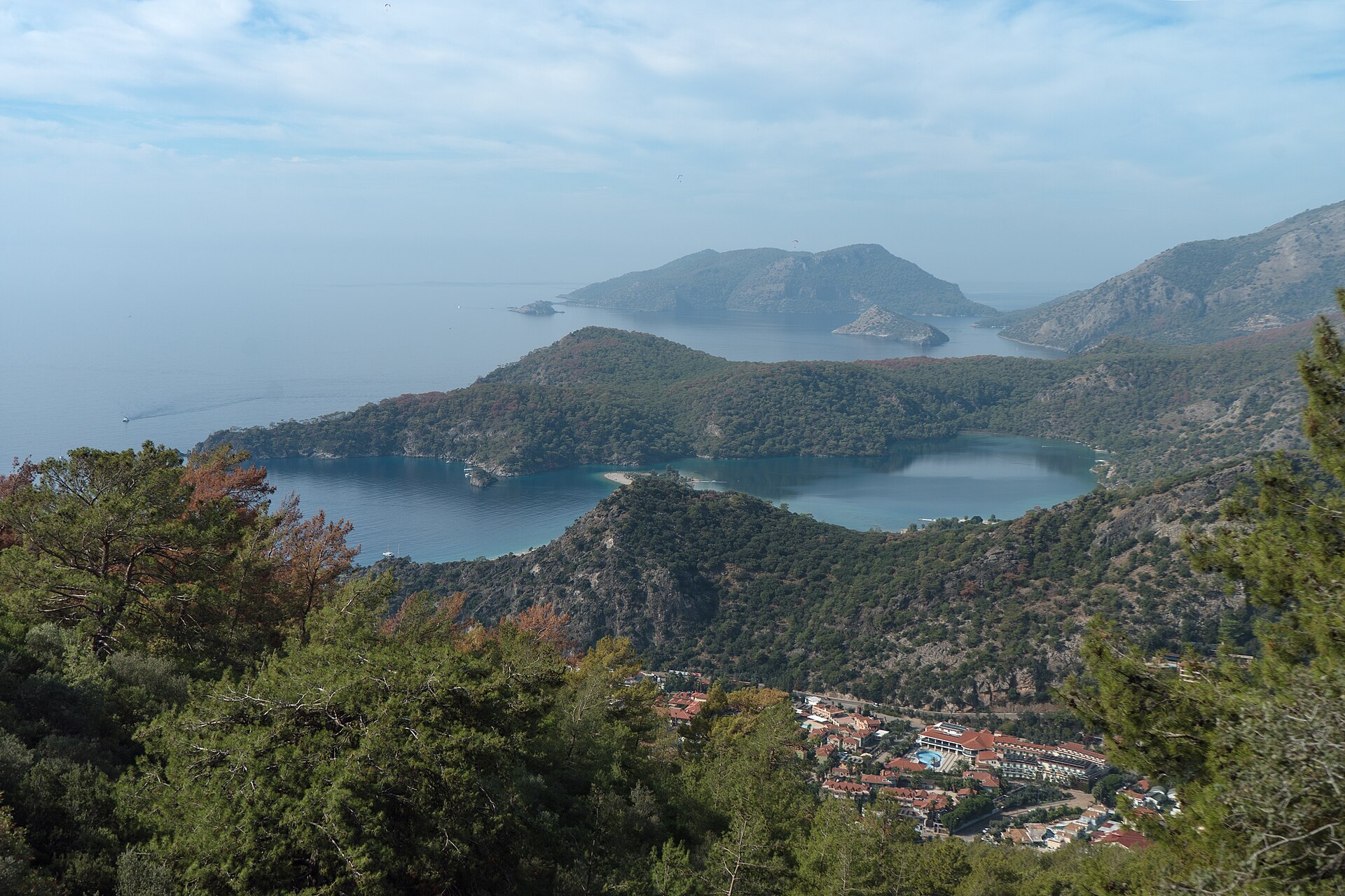
Regional overview
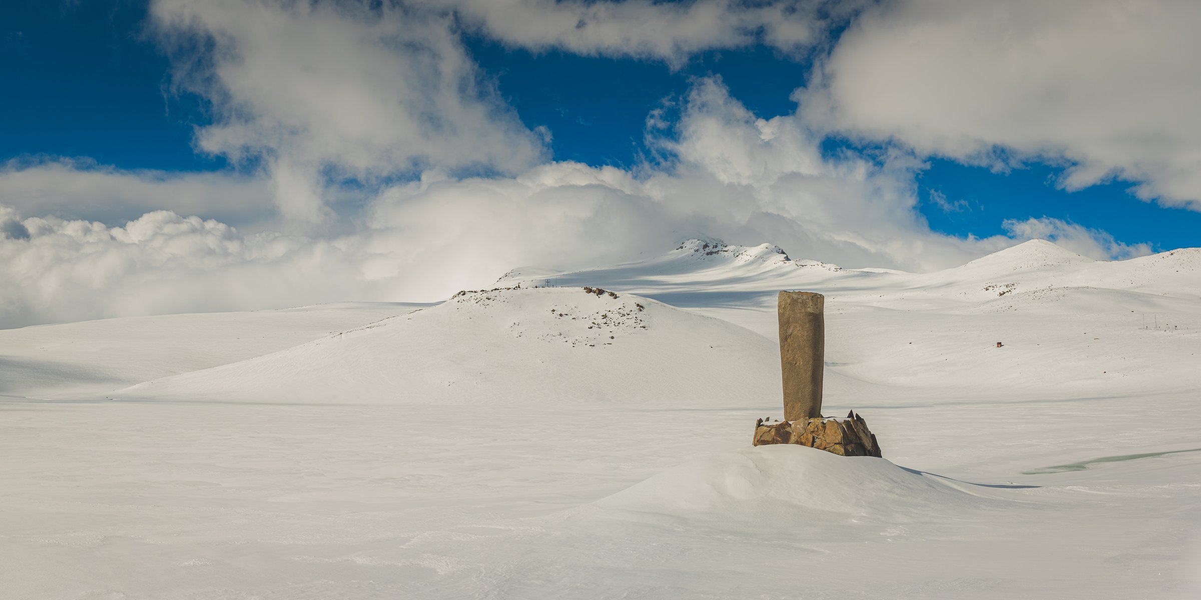
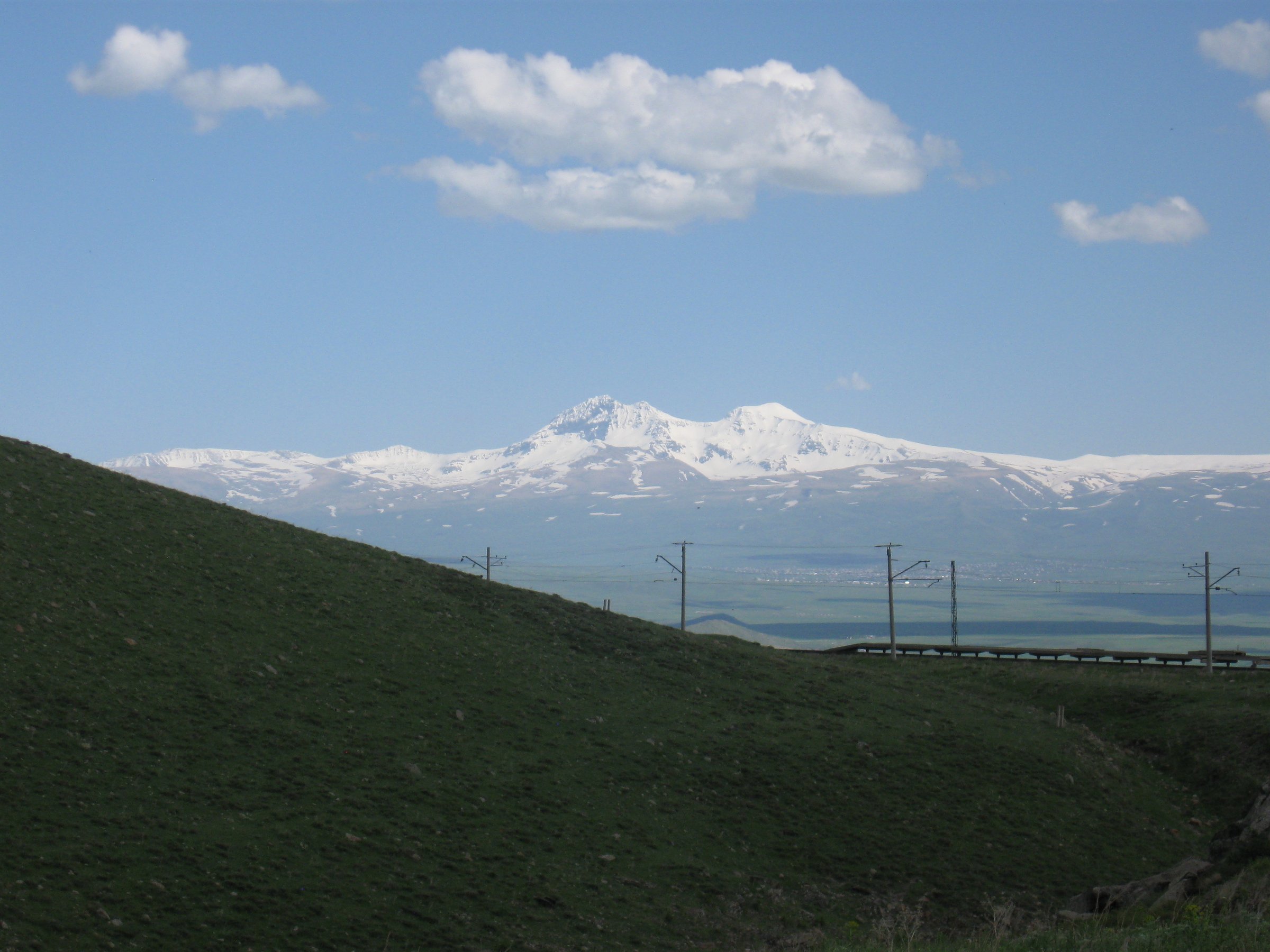
Turkey’s Armenian Highlands / Eastern Anatolia are dominated by big volcanic massifs, high cold basins, Lake Van, and open upland ridges. Day hiking here is less waymarked than in western Turkey; many routes are local-guide objectives, ski-area ascents, crater-road walks, or summit pushes from high villages.
Eastern Anatolia has high volcanic mountains, lake basins, exposed plateaux, and sensitive border/security areas. Some famous objectives, especially Ararat, are not normal independent day hikes; permits, local guide requirements, military/security rules, snow, and seasonal road access must be checked before publication.
Selection rationale
The five hikes below avoid treating multi-day mountaineering as casual day hiking while still representing the region’s defining landscapes: Süphan, Nemrut caldera, Artos over Lake Van, Palandöken above Erzurum, and a lower Ararat acclimatisation/viewpoint route rather than the summit.
Summary table
| # | Hike | Country | Route type | Distance | Gain | Max elevation | Difficulty |
|---|---|---|---|---|---|---|---|
| 1 | Mount Süphan from Harmantepe / Lake Van side | Turkey | Out-and-back | 14.6 km | 1,645 m | 4,058 m | Very hard |
| 2 | Nemrut Caldera rim and crater lakes | Turkey | Loop / out-and-back variant | ca. 8-15 km | ca. 300-700 m | 2,935-2,948 m rim | Moderate-hard |
| 3 | Mount Artos above Lake Van | Turkey | Out-and-back | ca. 12-18 km | ca. 1,500-1,700 m | 3,550 m | Very hard |
| 4 | Palandöken summit ridge from ski area | Turkey | Out-and-back | ca. 8-14 km | ca. 700-1,100 m | 3,271 m | Hard |
| 5 | Mount Ararat lower camp / green-camp viewpoint | Turkey | Out-and-back | ca. 10-14 km | ca. 800-1,000 m | ca. 3,200 m | Hard; permit/guide route |
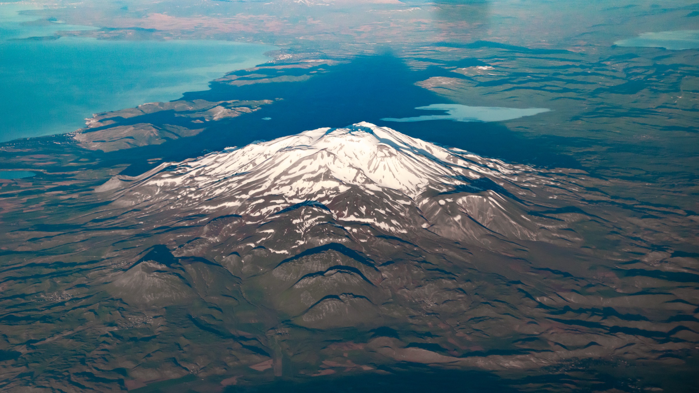
1. Mount Süphan from Harmantepe / Lake Van side

Snapshot
Itinerary
Climb the broad volcanic slopes of Süphan from the Lake Van side to the high summit plateau, then descend the same general line. The route is non-technical in dry summer conditions but long, high, and exposed.
Why it is essential
Süphan is one of the great Armenian Highland volcanoes, the second-highest volcano in Turkey, and a major Lake Van viewpoint.
Equipment
Boots, poles, warm/windproof layers, sun protection, headlamp, 3+ litres water, emergency layer, offline GPS; ice axe/crampons may be needed outside dry summer.
Hazards and notes
Altitude sickness, snow/ice, loose volcanic scree, lightning, whiteout, and long descent.
GPX / KML links
| Source | URL | Format / access | Reuse status |
|---|---|---|---|
| AllTrails — Mount Suphan | alltrails.com | Recorded track | AllTrails terms apply; GPX reuse unresolved |
| OpenStreetMap search | openstreetmap.org | Map/search | OSM data is ODbL; geometry cross-check only |
External links
2. Nemrut Caldera rim and crater lakes

Snapshot
Itinerary
Walk from the caldera road to Lake Nemrut, Ilı Lake/hot-spring area, and a rim or lava-viewpoint section. The exact route depends on vehicle access, snow, and road condition; a complete caldera loop is not assumed.
Why it is essential
Nemrut is one of Eastern Anatolia’s most dramatic volcanic landscapes: a huge caldera, crater lakes, hot springs/fumaroles, and Lake Van views.
Equipment
Hiking shoes/boots, wind layer, sun protection, water, offline map, and warm clothing outside midsummer.
Hazards and notes
Unstable volcanic slopes, fumaroles/hot-spring areas, sudden weather, road access, and navigation on informal tracks.
GPX / KML links
| Source | URL | Format / access | Reuse status |
|---|---|---|---|
| OpenStreetMap search | openstreetmap.org | Map/search | OSM data is ODbL; geometry cross-check only |
| Wikiloc — Bitlis | wikiloc.com | Crowd-sourced tracks | Wikiloc terms apply; no direct reusable GPX/KML verified |
External links
3. Mount Artos above Lake Van

Snapshot
Itinerary
Ascend the open volcanic/limestone slopes above Lake Van toward Mount Artos, with widening views over Akdamar Island, the lake basin, and surrounding highlands. The route is not treated as waymarked in this pass and should be guided or GPS-verified.
Why it is essential
Artos is the great Lake Van balcony: an ultra-prominent summit directly above one of Eastern Anatolia’s defining landscapes.
Equipment
Boots, poles, sun/wind protection, warm layer, water, food, headlamp, offline GPS, and local route advice.
Hazards and notes
Long ascent, loose slopes, altitude, scarce water, possible dogs/livestock, and navigation.
GPX / KML links
| Source | URL | Format / access | Reuse status |
|---|---|---|---|
| OpenStreetMap search | openstreetmap.org | Map/search | OSM data is ODbL; geometry cross-check only |
| Wikiloc — Van | wikiloc.com | Crowd-sourced tracks | Wikiloc terms apply; no direct reusable GPX/KML verified |
External links
4. Palandöken summit ridge from ski area

Snapshot
Itinerary
Climb from the ski-area road/lift corridor onto Palandöken’s open high ridge, aiming for a summit or ridge viewpoint above Erzurum. In summer this is a dry highland ridge walk; in winter it becomes ski/mountaineering terrain and should not be treated as a simple hike.
Why it is essential
Palandöken is Eastern Anatolia’s most accessible high ridge above a major city, with a direct view over Erzurum’s 1,950 m basin and the surrounding plateau.
Equipment
Boots/trail shoes, windproof layer, sun protection, water, offline map; winter gear/avalanche awareness if snow-covered.
Hazards and notes
Wind, lightning, fog, ski infrastructure, winter avalanche/freeze risk, and loose tracks.
GPX / KML links
| Source | URL | Format / access | Reuse status |
|---|---|---|---|
| OpenStreetMap search | openstreetmap.org | Map/search | OSM data is ODbL; geometry cross-check only |
| Wikiloc — Erzurum | wikiloc.com | Crowd-sourced tracks | Wikiloc terms apply; no direct reusable GPX/KML verified |
External links
5. Mount Ararat lower camp / green-camp viewpoint

Snapshot
Itinerary
This is not the Ararat summit route. Use the standard southern approach only as far as a lower camp or acclimatisation viewpoint, then return the same day under permit/guide arrangements. The full summit normally takes multiple days and glacier/snow travel may be required near the top.
Why it is essential
Ararat is the landmark mountain of the Armenian Highlands and Turkey’s highest summit; a lower approach walk gives a lawful day-hike way to include the massif without misclassifying the ascent as a day hike.
Equipment
Guide/permit documents, boots, sun/wind protection, warm layer, water, food, offline map, and headlamp.
Hazards and notes
Permit violations, border/security rules, altitude, dogs/livestock, loose volcanic terrain, and weather.
GPX / KML links
| Source | URL | Format / access | Reuse status |
|---|---|---|---|
| Turkey national parks (DKMP) | tarimorman.gov.tr | Official park context | Official site; permit/legal access must be verified locally |
| OpenStreetMap search | openstreetmap.org | Map/search | OSM data is ODbL; geometry cross-check only |
| Wikiloc — Ağrı | wikiloc.com | Crowd-sourced tracks | Wikiloc terms apply; no reusable GPX/KML verified |
External links
Missing data / follow-up work
- Local start/permit/security details unresolved for Süphan; Nemrut walking-variant statistics unresolved; Artos route statistics approximate and require GPS confirmation; Palandöken route stats approximate and variant-dependent; Ararat official permit/start details, route file, and exact stats unresolved.
- Direct reusable GPX/KML not verified for Nemrut, Artos, Palandöken or Ararat day variant; OSM/Wikiloc search links provided for cross-checking only.
- Permit, military/security and seasonal road-access rules can change quickly in Eastern Anatolia and must be re-verified close to travel date, particularly for Ararat.
External links
| Source | URL |
|---|---|
| AllTrails — Mount Suphan | alltrails.com |
| OpenStreetMap — Mount Suphan | openstreetmap.org |
| OpenStreetMap — Nemrut Caldera | openstreetmap.org |
| Wikiloc — Bitlis | wikiloc.com |
| OpenStreetMap — Mount Artos | openstreetmap.org |
| Wikiloc — Van | wikiloc.com |
| OpenStreetMap — Palandöken | openstreetmap.org |
| Wikiloc — Erzurum | wikiloc.com |
| Mount Ararat National Park — Turkey DKMP | tarimorman.gov.tr |
| OpenStreetMap — Mount Ararat | openstreetmap.org |
| Wikiloc — Ağrı | wikiloc.com |