Regional overview
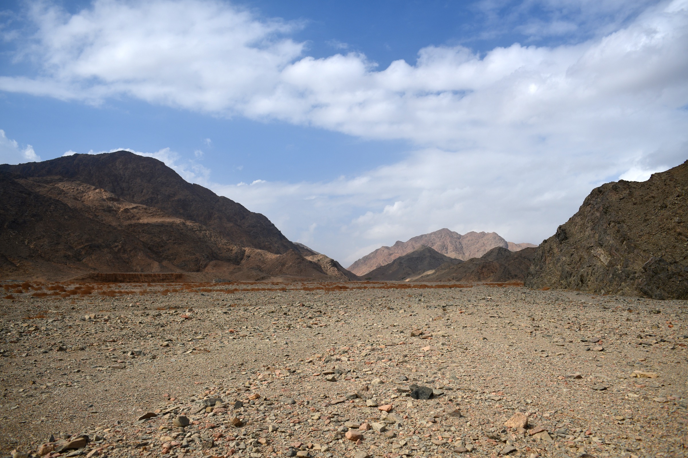
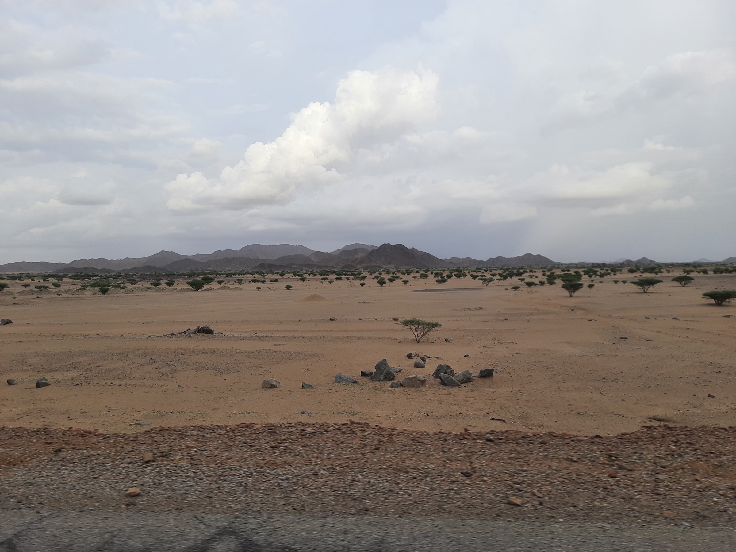
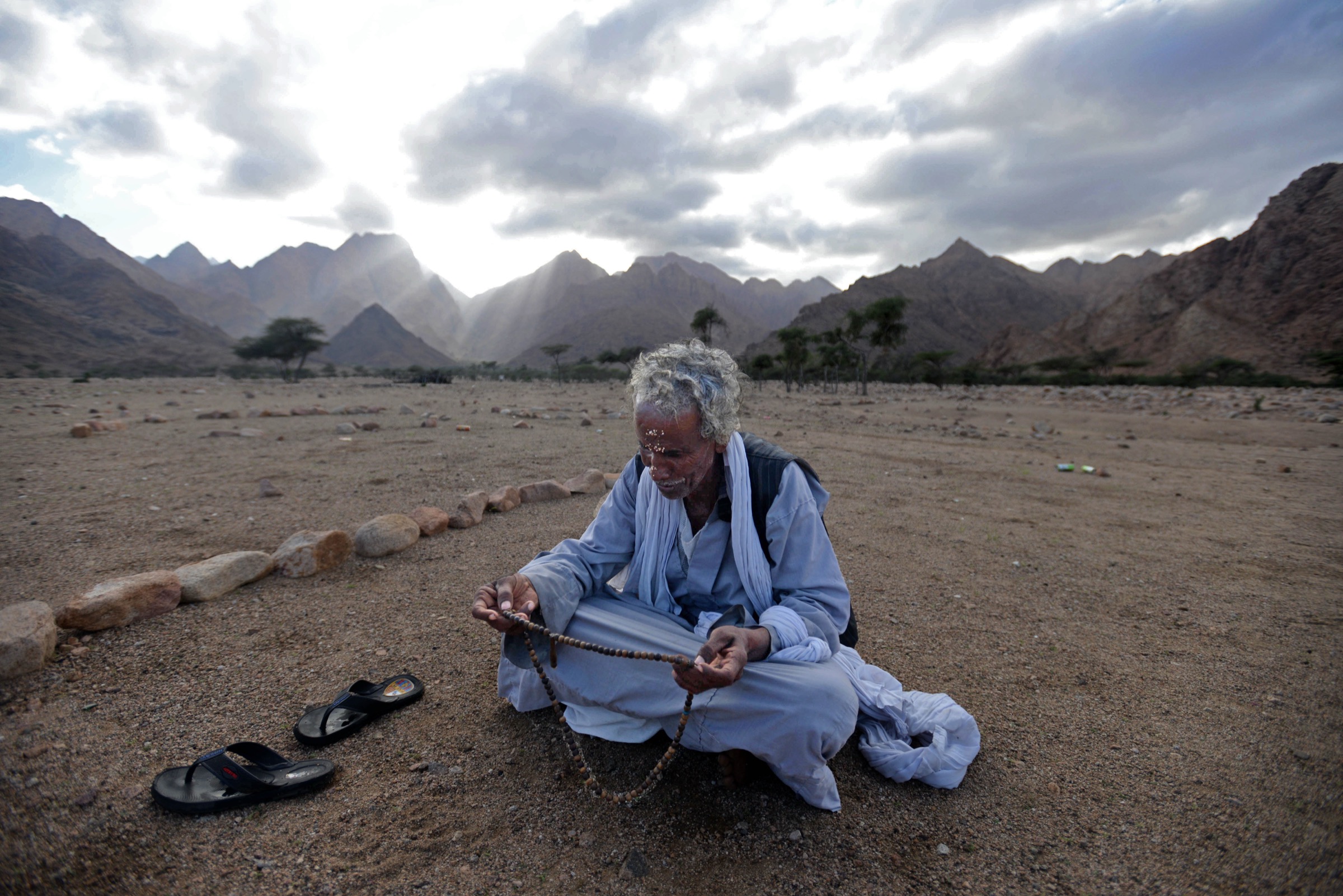
The Sudanese Red Sea Hills are the arid granite, volcanic, and metamorphic uplands west of the Red Sea, rising behind Port Sudan, Suakin, Sinkat, Arkawit/Erkowit, and the Beja pastoral landscapes. The walking character is desert mountain terrain: stony ridges, dry wadis, escarpment viewpoints, sparse settlements, heat, water scarcity, and long 4x4 approaches rather than maintained hiking infrastructure.
This entry is a non-operational candidate catalogue entry. Public, legally reusable route geometry for Sudanese Red Sea Hills day hikes was not found in this pass, and the current security situation makes field publication inappropriate. The U.S. State Department travel advisory for Sudan was checked on 12 June 2026 and is Level 4: Do Not Travel, citing armed conflict, crime, terrorism, civil unrest, kidnapping, and landmines. The advisory also states that U.S. government employees are prohibited from travelling to Sudan.
The five candidates below are therefore research placeholders for a future, locally verified edition: Arkawit/Erkowit, Jabal Oda, Khor Arbaat, Gabal Elba / Halaib Red Sea Hills, and the Suakin-Sinkat caravan foothills. None should be published as a practical hiking route without current security clearance, local permissions, reputable route geometry, water/rescue planning, and guide support.
Selection rationale
The selection represents the main Sudanese Red Sea Hills themes: highland hill station, high Red Sea Hills summit objective, wadi/water landscape, disputed far-north mist mountain, and cultural caravan-route foothills. All five remain Candidate only because route lines, statistics, GPX/KML files, access permissions, and licence-compatible route photos were not verified.
Summary table
| # | Hike | Country | Route type | Distance | Gain | Max elevation | Difficulty |
|---|---|---|---|---|---|---|---|
| 1 | Arkawit / Erkowit escarpment walk | Sudan | Local ridge/viewpoint walk unresolved | Unresolved | Unresolved | ca. 1,000-1,200 m area range | Candidate only |
| 2 | Jabal Oda high Red Sea Hills summit candidate | Sudan | Summit route unresolved | Unresolved | Unresolved | ca. 2,160 m reported for Jabal Oda | Candidate only |
| 3 | Khor Arbaat wadi-and-dam hinterland walk | Sudan | Wadi walk unresolved | Unresolved | Unresolved | Unresolved | Candidate only |
| 4 | Gabal Elba / Halaib mist-mountain candidate | Sudan / Egypt-administered disputed area | Summit/foothill route unresolved | Unresolved | Unresolved | 1,435 m | Candidate only |
| 5 | Suakin-Sinkat caravan foothills candidate | Sudan | Cultural foothill walk unresolved | Unresolved | Unresolved | Unresolved | Candidate only |
1. Arkawit / Erkowit escarpment walk
Snapshot
Itinerary
A publication-ready itinerary was not verified. Arkawit/Erkowit is a historic highland and hill-station area in the Red Sea Hills above the coastal plain. The candidate is a short ridge or escarpment-view walk from a locally approved base, but no reliable walking line, distance, ascent, or GPX/KML was found.
Why it is essential
Arkawit/Erkowit is the best-known accessible highland name in Sudan’s Red Sea Hills and represents the escarpment-settlement character of the region.
Equipment
- Sturdy boots, large water carry, sun protection, warm layer for cool-season evenings.
- First-aid kit, navigation backup, headtorch.
- Satellite/guide-supported communication plan.
Hazards and notes
- Do not treat as currently operational. Sudan is under a Level 4 Do Not Travel advisory.
- Heat, dehydration, landmines, armed-conflict spillover, lack of rescue, and unverified access are critical constraints.
GPX / KML links
| Source | URL | Format / access | Reuse status |
|---|---|---|---|
| OpenStreetMap search: Arkawit Sudan | openstreetmap.org | Source map/search | OSM data is ODbL; no route relation selected; geometry cross-check only |
| Wikiloc search: Arkawit Sudan | wikiloc.com | Search page | Wikiloc terms apply if a track is later selected; candidate source only |
External links
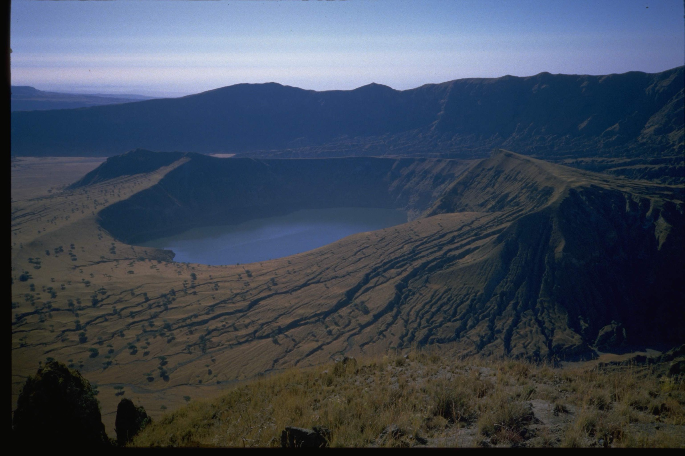
2. Jabal Oda high Red Sea Hills summit candidate
Snapshot
Itinerary
A publication-ready itinerary was not verified. Jabal Oda is recorded in Red Sea Hills geographical summaries as one of the higher Sudanese Red Sea Hills summits. This pass did not find a legal route line, access road, water source, distance, ascent, descent, or GPX/KML.
Why it is essential
Jabal Oda is retained as the high-summit research target for the Sudanese Red Sea Hills. It should not be presented as a day hike until a local expedition-grade source or field survey confirms the route.
Equipment
- Sturdy boots, large water carry, full sun protection, warm/wind layer.
- Navigation backup, first-aid kit, emergency shelter.
- Guide/vehicle support.
Hazards and notes
- Remote desert terrain, heat, water scarcity, unverified access, possible mine risk, and no reliable rescue context.
- Current conflict conditions block practical publication.
GPX / KML links
| Source | URL | Format / access | Reuse status |
|---|---|---|---|
| OpenStreetMap search: Jabal Oda Sudan | openstreetmap.org | Source map/search | OSM data is ODbL; no route relation selected; geometry cross-check only |
| Wikiloc search: Jabal Oda Sudan | wikiloc.com | Search page | Wikiloc terms apply if a track is later selected; candidate source only |
External links
3. Khor Arbaat wadi-and-dam hinterland walk
Snapshot
Itinerary
A publication-ready route was not verified. Khor Arbaat is a wadi/water-supply landscape inland from Port Sudan. The area became especially sensitive after reports in 2024 that the Arbaat Dam collapsed during flooding. Any future walking entry must be rebuilt from current local information rather than old route notes.
Why it is essential
Khor Arbaat represents the wadi and water-in-the-desert side of the Sudanese Red Sea Hills, contrasting with summit and escarpment candidates.
Equipment
- Sturdy footwear, large water carry, sun protection.
- Navigation backup, early-start plan.
- Flash-flood awareness is essential in wadis.
Hazards and notes
- Current post-flood/dam conditions, road access, unstable ground, contamination, and local restrictions need verification.
- Do not use pre-2024 access descriptions without checking current conditions.
GPX / KML links
| Source | URL | Format / access | Reuse status |
|---|---|---|---|
| OpenStreetMap search: Khor Arbaat Sudan | openstreetmap.org | Source map/search | OSM data is ODbL; no route relation selected; geometry cross-check only |
| Wikiloc search: Khor Arbaat Sudan | wikiloc.com | Search page | Wikiloc terms apply if a track is later selected; candidate source only |
External links
4. Gabal Elba / Halaib mist-mountain candidate
Snapshot
Itinerary
A publication-ready itinerary was not verified. Gabal Elba is an ecologically distinctive Red Sea Hills mountain in the Halaib Triangle, an area claimed by Sudan and administered by Egypt. It is included here only as a Sudanese Red Sea Hills research candidate because of geography, not as a currently usable Sudan route.
Why it is essential
Gabal Elba is one of the most biologically distinctive Red Sea Hills mountains because of orographic mist and relatively rich vegetation compared with surrounding desert.
Equipment
- Desert mountain equipment, navigation backup, large water carry, sun protection.
- Full permit/local-guide arrangements.
Hazards and notes
- Jurisdiction and permits are unresolved.
- The area is politically sensitive; do not publish a route without current official access confirmation from the administering authority.
GPX / KML links
| Source | URL | Format / access | Reuse status |
|---|---|---|---|
| OpenStreetMap search: Gabal Elba | openstreetmap.org | Source map/search | OSM data is ODbL; no route relation selected; geometry cross-check only |
| Wikiloc search: Gabal Elba | wikiloc.com | Search page | Wikiloc terms apply if a track is later selected; candidate source only |
External links
5. Suakin-Sinkat caravan foothills candidate
Snapshot
Itinerary
A publication-ready itinerary was not verified. The candidate is a future locally guided walk in the foothills between the historic Red Sea port of Suakin and the Sinkat/Red Sea Hills approach country, using legally accessible tracks or viewpoints if such a route can be confirmed. No route line, distance, elevation gain, or GPX/KML was found.
Why it is essential
The Sudanese Red Sea Hills are also a cultural and trade-route landscape. A Suakin-Sinkat foothill route would represent Red Sea caravan history and Beja highland access rather than only remote summits.
Equipment
- Desert hiking equipment with large water carry, sun protection, sturdy footwear.
- Navigation backup, guide/vehicle support.
Hazards and notes
- Current conflict conditions, road safety, land access, landmine risk, and cultural-site permissions are unresolved.
- Do not publish without local authority and community approval.
GPX / KML links
| Source | URL | Format / access | Reuse status |
|---|---|---|---|
| OpenStreetMap search: Suakin Sinkat Sudan | openstreetmap.org | Source map/search | OSM data is ODbL; no route relation selected; geometry cross-check only |
| Wikiloc search: Suakin Sinkat Sudan | wikiloc.com | Search page | Wikiloc terms apply if a track is later selected; candidate source only |
External links
- Wikipedia — Suakin
- Wikipedia — Sinkat
- Wikipedia — Red Sea State
- U.S. State Department — Sudan Travel Advisory
Missing data / follow-up work
- No official or reusable GPX/KML route files found.
- No verified route distances, ascent/descent, trailhead coordinates, or walking times found.
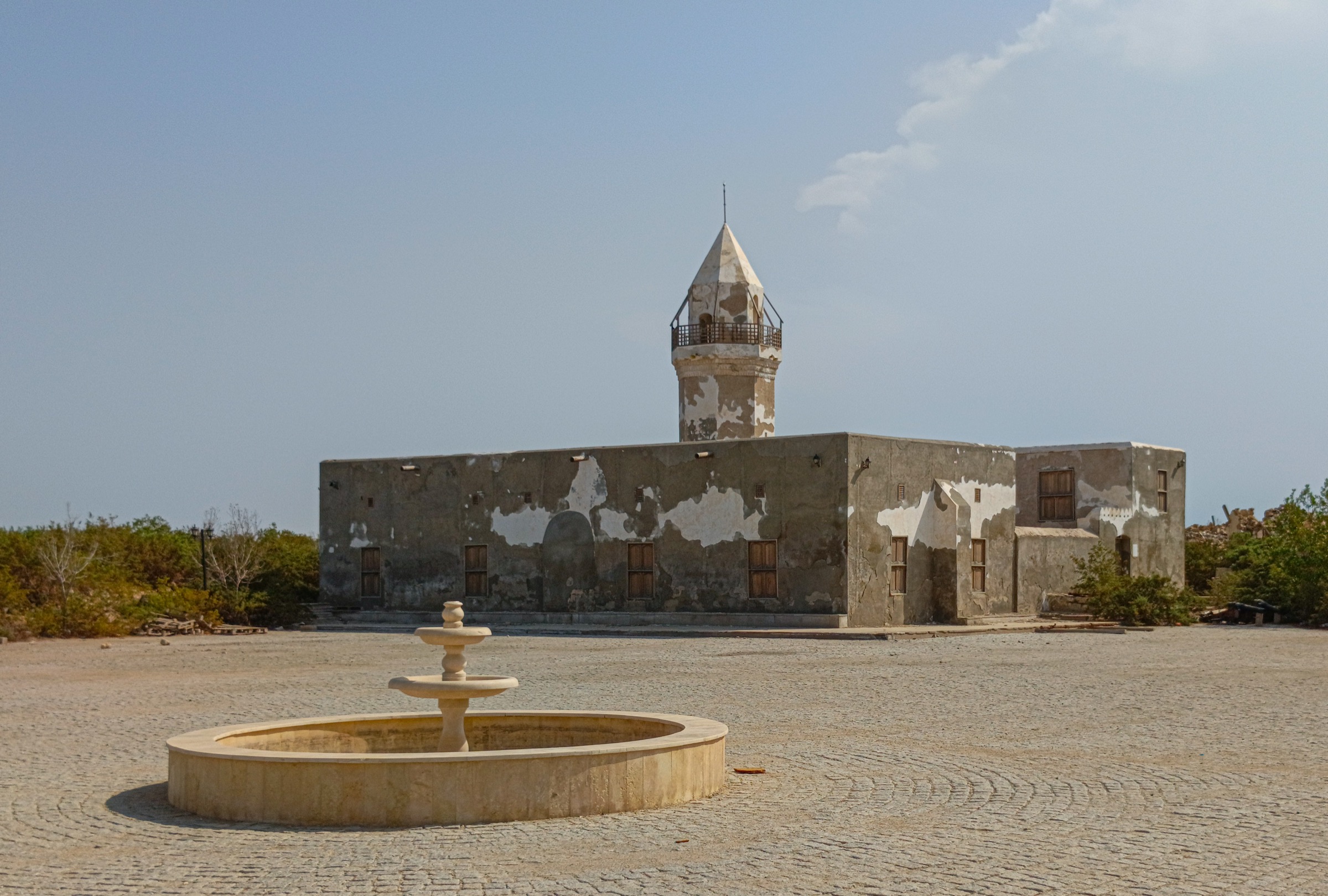
- No licence-compatible route-specific photos found; no cover image has been selected yet for this article.
- Sudan is currently under a Do Not Travel advisory; field publication should be deferred.
- Landmine, conflict, permit, local-guide, water, rescue, and community-access checks are essential before any future route is considered.
External links
| Source | URL |
|---|---|
| Wikipedia — Red Sea Hills | en.wikipedia.org |
| Wikipedia — Eastern Desert | en.wikipedia.org |
| Wikipedia — Red Sea State | en.wikipedia.org |
| Wikipedia — Arbaat Dam | en.wikipedia.org |
| Wikipedia — Gebel Elba | en.wikipedia.org |
| Wikipedia — Halaib Triangle | en.wikipedia.org |
| Wikipedia — Suakin | en.wikipedia.org |
| Wikipedia — Sinkat | en.wikipedia.org |
| U.S. State Department — Sudan travel advisory | travel.state.gov |
| OpenStreetMap | openstreetmap.org |
| Wikiloc search | wikiloc.com |
| AllTrails search | alltrails.com |