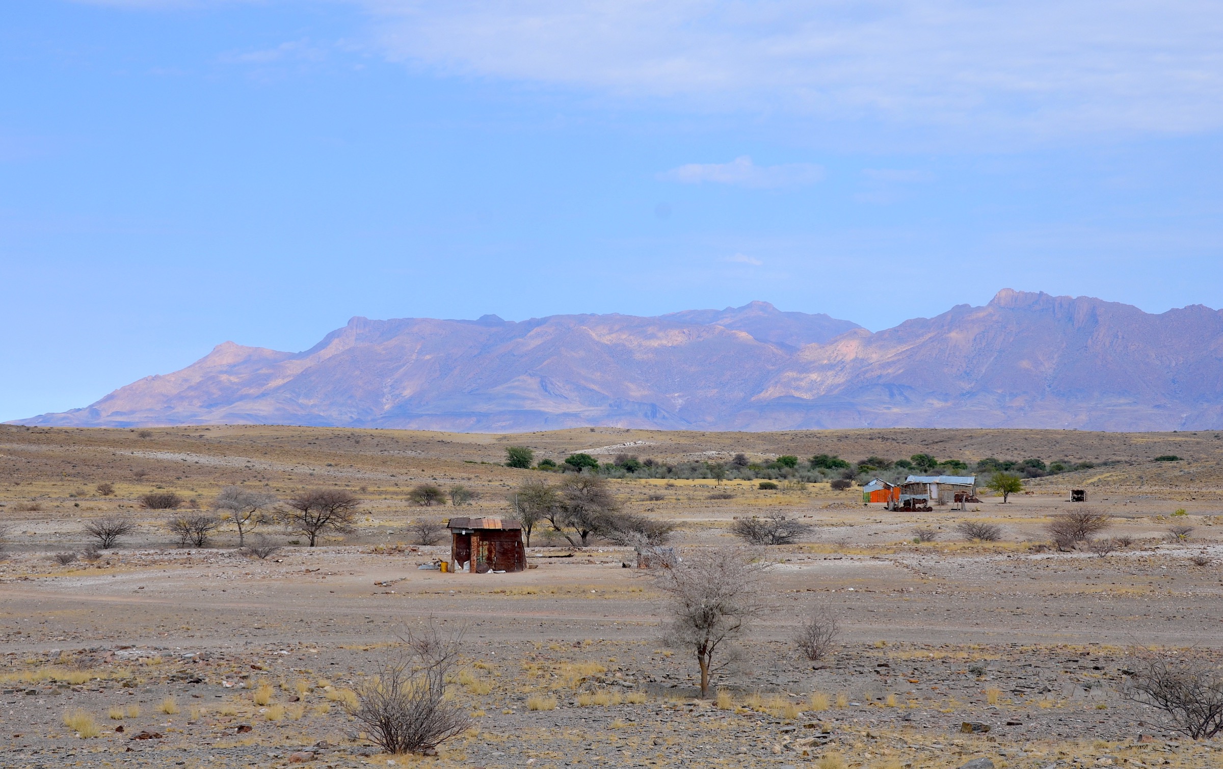
Regional overview
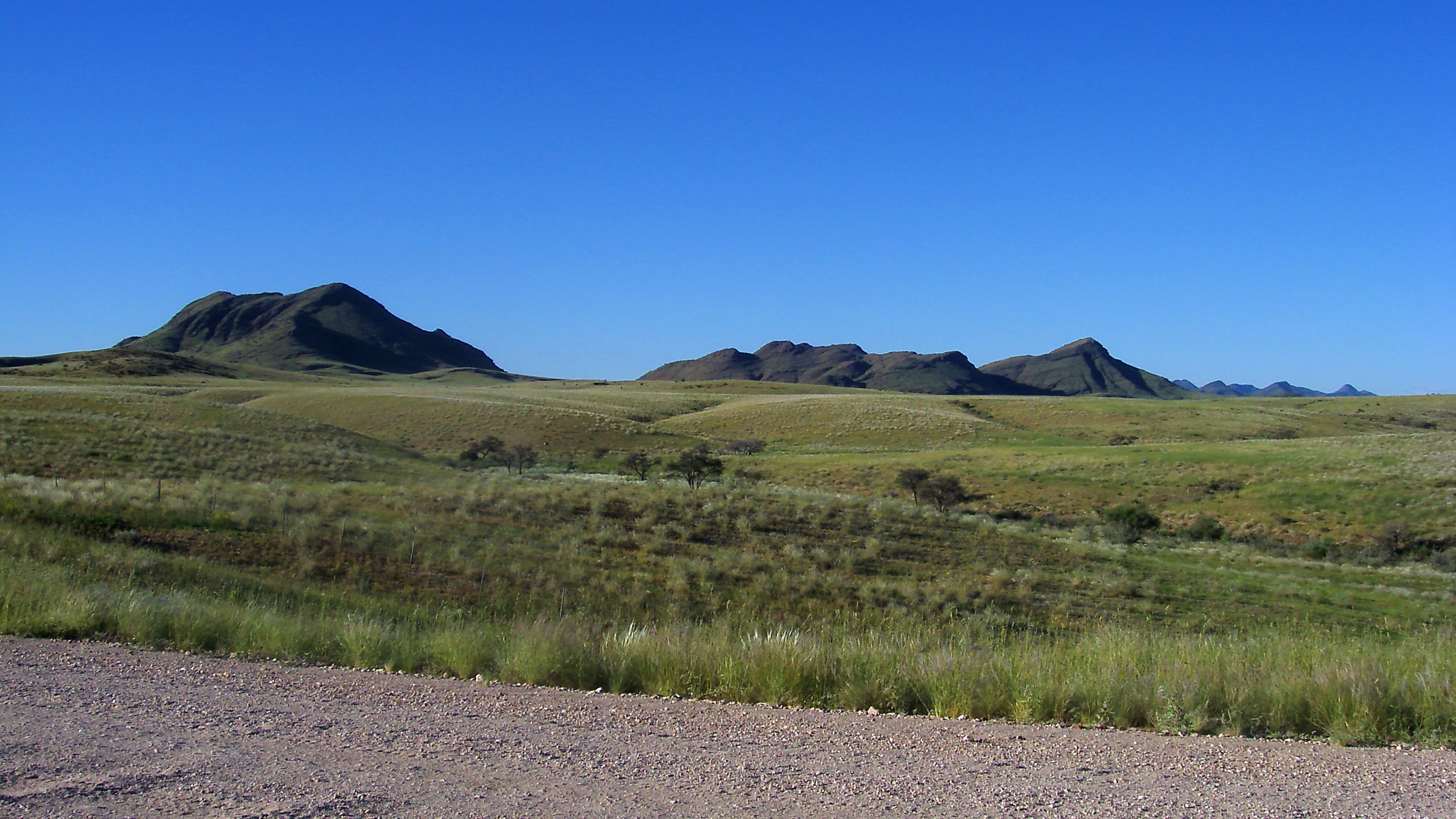
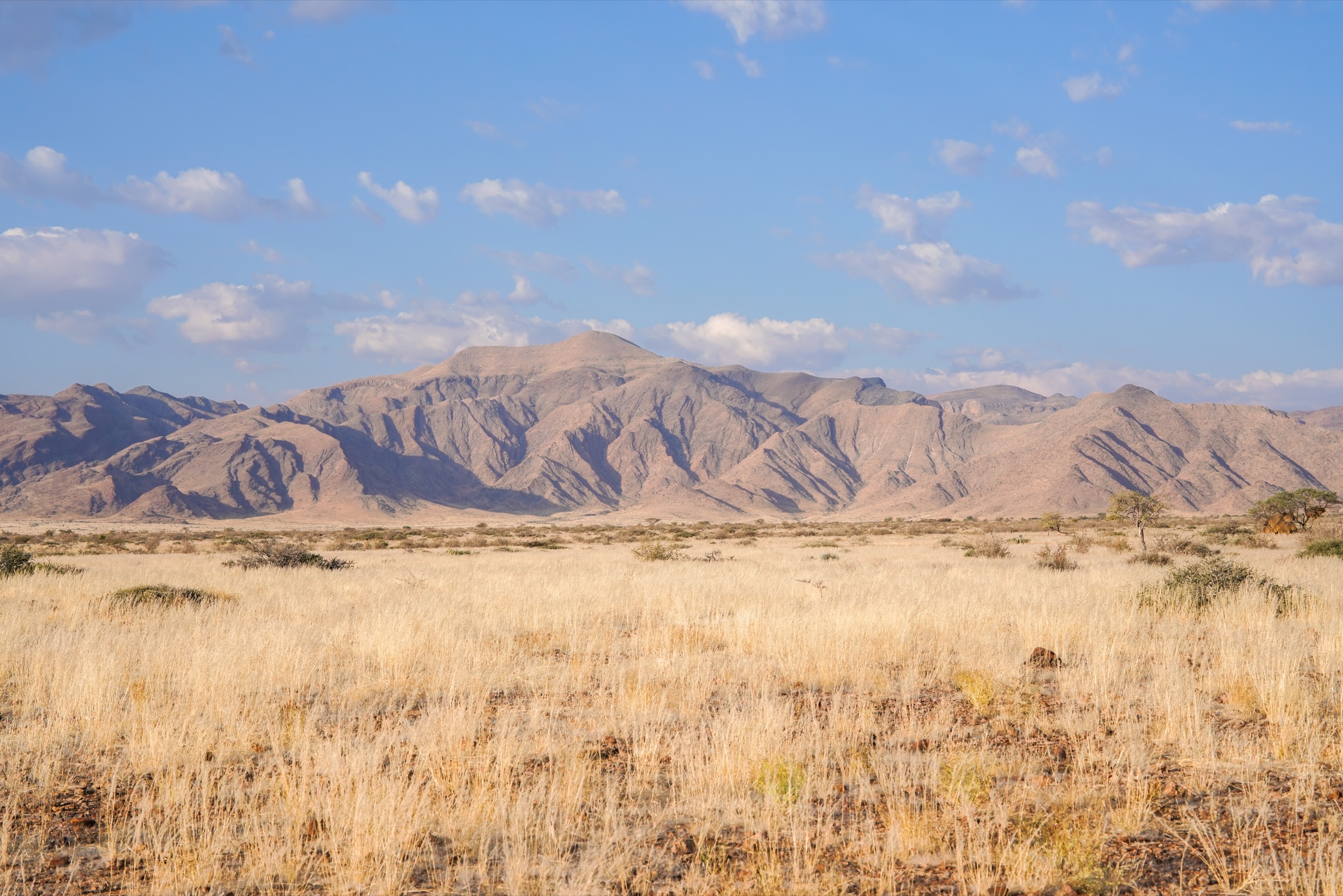
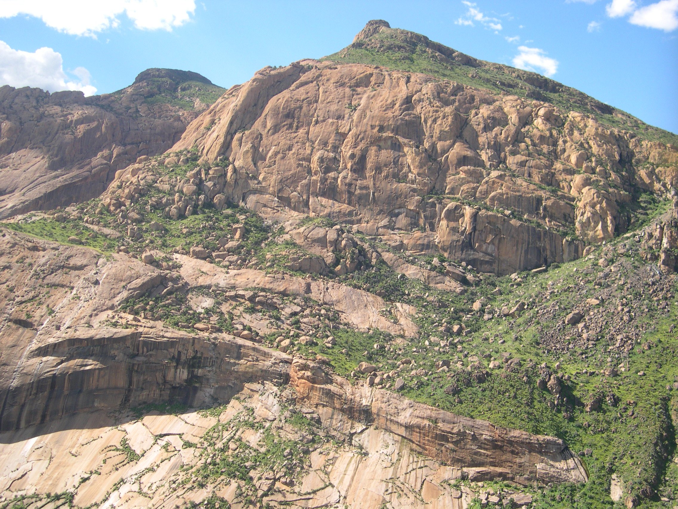
Spitzkoppe and the Erongo Mountains form one of Namibia’s most recognisable granite hiking landscapes. Spitzkoppe is the dramatic inselberg group west of Usakos, with the Rock Arch, Pontok Mountains, rock pools, and protected San rock-art sites around Bushman’s Paradise and Small Bushman’s Paradise. The Erongo Mountains, farther east and north-east around Ameib and Hohenstein, add broader upland walking through granite boulder fields, dry riverbeds, rock-art shelters, and wildlife-rich lodge/conservancy land.
This is not an alpine trail network with standard public waymarking. Many walks start from lodges, community conservancy land, or private farms. Some routes can be walked with reception maps, while rock-art visits and higher granite routes generally require a guide. Access is normally by self-drive or arranged lodge/tour transfer; public transport to trailheads was not verified.
The best walking season is the cooler dry season, roughly May to September. Summer heat, bare granite, little shade, and long distances between services can make even short walks serious. Closed shoes, generous water, sun protection, and early starts are standard requirements. Smooth granite slabs can become hazardous when wet.
Selection rationale
The selection balances the region’s five main walking themes: the iconic Spitzkoppe Rock Arch, protected rock-art access, a higher guided Pontok viewpoint, Ameib’s granite and Phillips Cave landscape, and a longer Erongo foothill trail at Hohenstein. Public route detail is strongest for the two Wikiloc-backed Spitzkoppe/Ameib routes and the Hohenstein lodge trail description; Pontok remains partly verified because official sources confirm the guided hike but do not publish full route statistics.
Summary table
| # | Hike | Route type | Distance | Elevation gain | Max elevation | Difficulty |
|---|---|---|---|---|---|---|
| 1 | Spitzkoppe Rock Arch and Small Bushman’s Paradise Walk | Point-to-point / short loop variant | 4.3 km | 57 m | 1,111 m | Moderate |
| 2 | Bushman’s Paradise Chain Tour | Loop | 3.1 km | 99 m | 1,153 m | Moderate |
| 3 | Pontok Guided Viewpoint Hike | Guided out-and-back | About 7 km | Moderate–hard | ||
| 4 | Ameib Bull’s Party, Elephant’s Head and Phillips Cave Loop | Loop | 3.4 km | 192 m | 1,162 m | Easy–moderate |
| 5 | Hohenstein Kudu Trail | Loop | 8.5 km | Moderate |
Before you go
Permits and access
Spitzkoppe walks normally start from the community campsite/lodge area in Gaingu Conservancy; conservancy/campsite fees and gate rules apply. Rock-art panels at Bushman’s Paradise and Small Bushman’s Paradise are protected and generally require a guide arranged at the entrance, reception or lodge. The Pontok guided viewpoint hike is set up through Spitzkoppen Lodge or local guides and is not a self-guided route. Ameib’s Bull’s Party, Elephant’s Head and Phillips Cave routes cross private/conservancy land and need to be arranged with Ameib Guesthouse. The Hohenstein Kudu Trail is a lodge/private-farm trail starting from Hohenstein Lodge; check access, current trail status and whether day visitors are accepted before arrival. Public transport to trailheads was not verified for any of these walks.
Standard Spitzkoppe / Erongo day-hiking kit
For all five routes, carry:
- Closed walking shoes or hiking boots with grip for granite slabs and stony ground.
- Sun hat, sunglasses, sunscreen, and 3 litres of water per person in warm weather.
- Salty snacks/food, a light warm layer in winter, headtorch in case of late return, and map or reception trail information.
- Guide where the activity is operator-led or where rock-art access is restricted.
Common hazards
Across all five routes, expect heat, sparse shade, smooth granite, loose grit and stony footing. Smooth granite slabs become dangerous when wet. Steep granite sections on Bushman’s Paradise use fixed chains or handlines and have consequential fall potential. Rock art is fragile and protected; avoid touching surfaces and follow guide instructions on photography and access. Wildlife may be present on Ameib and Hohenstein farm/conservancy land; do not walk off-route without permission. Remote rescue context applies throughout.
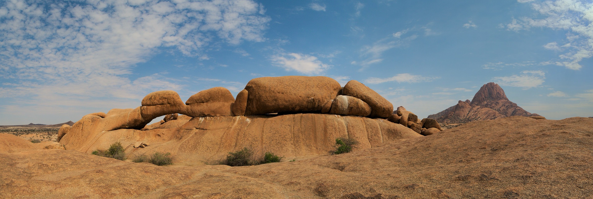
1. Spitzkoppe Rock Arch and Small Bushman’s Paradise Walk
Snapshot
Itinerary
The walk links the lower Spitzkoppe granite scenery with the famous Rock Arch and the Small Bushman’s Paradise rock-art area. From the campsite/lodge road system, the route crosses open sandy ground and low granite slabs toward the arch, where the main Spitzkoppe peak and nearby Pontok forms are framed through the natural opening. The Wikiloc source track continues toward Small Bushman’s Paradise and finishes as a point-to-point line rather than a complete return loop.
Rock-art panels require guide control locally; check at reception or the conservancy entrance before walking beyond the public arch viewpoint. The arch itself is a short, popular objective, but using the combined arch-and-rock-art route as a catalogue hike requires current local confirmation of the permitted line.
Why it is essential
The Rock Arch is the signature non-technical walk at Spitzkoppe and one of the strongest visual symbols of the region. Combining it with Small Bushman’s Paradise gives a compact introduction to both granite-landform scenery and heritage-site context.
Hazards and notes
- Heat, loose granite grit, and smooth slabs are the main hazards.
- Avoid walking on wet granite.
- Stay on authorised paths around rock-art panels and follow guide instructions.
- Drone, camping, and night-access rules should be checked with the conservancy or lodge.
GPX / KML links
| Source | URL | Format | Notes |
|---|---|---|---|
| Wikiloc — Ruta por Spitzkoppe. Rock Arch y Small Bushman Paradise | wikiloc.com | Route page with downloadable GPS option | Source route found; direct reuse requires licence/terms review |
| Spitzkoppe official/community site | spitzkoppe.com | Official attraction/access page, not a route file | Confirms attractions, not reusable geometry |
External links
- Wikiloc Rock Arch / Small Bushman’s Paradise route
- Spitzkoppe community / campsite attraction page
- Spitzkoppen Lodge activities and walking-trail notes
- Namibia Adventures Spitzkoppe guide
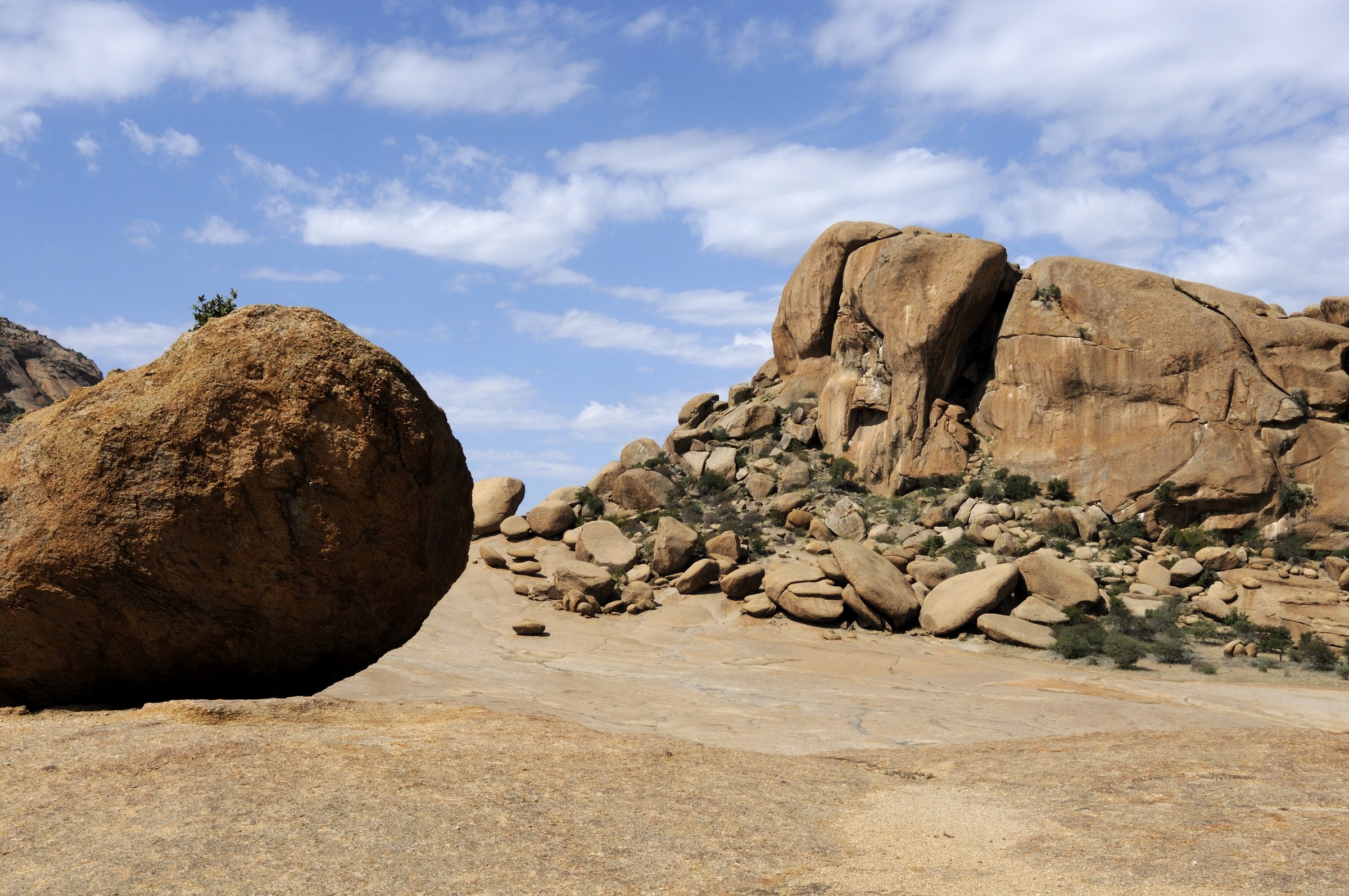
2. Bushman’s Paradise Chain Tour
Snapshot
Itinerary
The guided route climbs from the Bushman’s Paradise access area onto granite slabs and into a natural amphitheatre/rock shelter with protected San rock art. The approach uses steep rock and fixed-chain or handline assistance in places, then returns by a short loop through the surrounding granite terrain.
Spitzkoppen Lodge lists Bushman’s Paradise as a National Monument guided walking tour with morning and afternoon set departures, while Wikiloc records a 3.1 km loop with 99 m of ascent. Current guide arrangements should be confirmed at the entrance or lodge before publication.
Why it is essential
Bushman’s Paradise is the key protected rock-art walk at Spitzkoppe. It adds cultural depth to the granite scenery and is widely mentioned by local accommodation, tourism, and trail sources.
Hazards and notes
- The approach includes steep, smooth granite and fixed assistance; falls would be consequential in places.
- Heat is severe in the middle of the day.
- Rock art is fragile and protected; photography, touching, and access restrictions must follow guide instructions.
GPX / KML links
| Source | URL | Format | Notes |
|---|---|---|---|
| Wikiloc — Namibia: Spitzkoppe. Bushman Paradise | wikiloc.com | Route page with downloadable GPS option | Source route found; direct reuse requires licence/terms review |
| Spitzkoppen Lodge activities page | spitzkoppenlodge.com | Official guided-tour page, not GPX | Confirms guided access but does not provide route file |
External links
- Wikiloc Bushman’s Paradise route
- Spitzkoppen Lodge guided walking-tour notes
- Namibia Adventures Bushman’s Paradise access notes
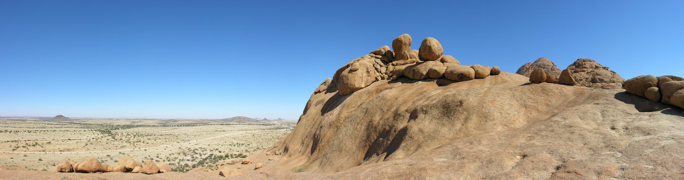
3. Pontok Guided Viewpoint Hike
Snapshot
Itinerary
The Pontok hike is a guided granite viewpoint route in the cluster of rounded peaks north-east of the main Spitzkoppe. From the local reception or campsite area, a guide leads the route across sandy ground and up granite slopes toward a high lookout over the Spitzkoppe massif, the desert plain, and the smaller inselbergs.
Official accommodation sources confirm a guided 3–4 hour mountain hike up the third-highest mountain at Spitzkoppe. Secondary hiking sources identify Pontok as the moderate guided route, but route statistics are inconsistent or incomplete. The route should be published only after the local guide office confirms the current line and whether the endpoint is Pontok proper or an adjacent viewpoint.
Why it is essential
Pontok provides the region’s classic higher walking objective without the technical climbing required for the main Spitzkoppe summit. It represents the granite scrambling and open-desert viewpoint character that distinguishes Spitzkoppe from the lower rock-art walks.
Hazards and notes
- Smooth granite, heat, sparse shade, route-finding, and exposure are the main hazards.
- The main Spitzkoppe summit is a technical climbing objective and is not included in this hike.
- Do not continue beyond the guide-defined turnaround.
GPX / KML links
| Source | URL | Format | Notes |
|---|---|---|---|
| Spitzkoppen Lodge activities page | spitzkoppenlodge.com | Official activity description, not GPX | Confirms guided hike duration but not reusable route file |
| SA Hikes Pontok route description | sahikes.com | Secondary route description, not GPX | Secondary stats only; not route geometry |
External links
- Spitzkoppen Lodge guided mountain hike duration
- SA Hikes Pontok route summary and approximate distance
- Coordinotes Spitzkoppe hiking overview
- Secret Namibia Spitzkoppe hiking overview
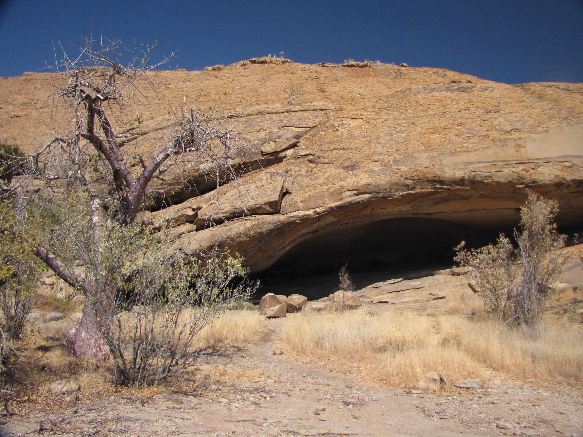
4. Ameib Bull’s Party, Elephant’s Head and Phillips Cave Loop
Snapshot
Itinerary
From Ameib Guesthouse or the visitor parking, the route explores the ranch’s granite-boulder landscape, linking Bull’s Party, Elephant’s Head, and the marked path to Phillips Cave. Bull’s Party and Elephant’s Head are surreal rounded granite formations, while Phillips Cave is a rock-art shelter reached on foot from the ranch area.
The Ameib / Erongo Mountain Nature Sanctuary site confirms walking trails from the guesthouse to Phillips Cave, Bull’s Party, and Elephant’s Head. Wikiloc records a 3.43 km loop with 192 m of ascent linking the same objectives. A separate Wikiloc Phillips Cave track records a shorter 2.53 km marked loop with 171 m of ascent, so the combined loop should be treated as one selected variant among several local walking options.
Why it is essential
This route is the strongest compact Erongo entry: it combines granite landforms, a named rock-art shelter, and a walkable private-farm trail network that is repeatedly cited by accommodation and trail sources.
Hazards and notes
- Access is on private/conservancy land and should be arranged with Ameib.
- Trails can be rough, hot, and exposed.
- Rock art is protected; avoid touching surfaces and follow any local photography rules.
- Wildlife may be present, so do not walk off-route without permission.
GPX / KML links
| Source | URL | Format | Notes |
|---|---|---|---|
| Wikiloc — Namibia: Erongo Mountains, Bull’s Party e Phillip’s Cave | wikiloc.com | Route page with downloadable GPS option | Source route found; direct reuse requires licence/terms review |
| Wikiloc — Wanderung zur Phillips Cave | wikiloc.com | Route page with downloadable GPS option | Secondary route-source variant for Phillips Cave |
| Ameib / Erongo Mountain Nature Sanctuary page | erongomountains.com | Official access/activity page, not GPX | Confirms trails and objectives but not route file |
External links
- Ameib Guesthouse & Camping / Erongo Mountain Nature Sanctuary walking-trail notes
- Wikiloc combined Ameib route statistics
- Wikiloc Phillips Cave variant
- Show Caves Phillips Cave access note
5. Hohenstein Kudu Trail
Snapshot
Itinerary
The Kudu Trail starts from Hohenstein Lodge’s sun deck with the Damara Trail for the first 300 m, then turns off toward the heights at Mount Kainachab. The route crosses farm ground, dry riverbeds, and granite plates, with views back to Hohenstein and across the southern Erongo flank. It rejoins the farm road used for scenic drives before returning to the lodge.
Ondili’s hiking page and Hohenstein activity sheet both confirm the trail and its duration; the activity sheet gives a distance of 8.5 km and a duration of 2.5–3 hours. Elevation gain, maximum trail elevation, and a public GPX file were not found.
Why it is essential
The Kudu Trail represents the broader Erongo walking landscape rather than the short Spitzkoppe and Ameib stops. It adds a longer, wildlife-and-viewpoint foothill walk at the base of the highest Erongo peak.
Hazards and notes
- Lodge/private-farm terrain; check access, trail status, and whether day visitors are accepted before arrival.
- Heat, thorn scrub, dry riverbed footing, and wildlife encounters are possible.
- Do not assume the route climbs Hohenstein peak; the peak ascent is a different, more serious objective.
GPX / KML links
| Source | URL | Format | Notes |
|---|---|---|---|
| Hohenstein / Ondili activities PDF | stwetuproduction.blob.core.windows.net | Official route description and distance, not GPX | Confirms route distance and itinerary but not reusable coordinates |
| Ondili hiking page | ondili.com | Official route overview, not GPX | Confirms route duration and character |
External links
- Ondili Hohenstein Kudu Trail overview
- Hohenstein Lodge activities PDF with trail distances
- Hohenstein Lodge factsheet with location and access context
- Hohenstein Lodge secondary listing
External links
| Source | URL |
|---|---|
| Spitzkoppe community / campsite official attraction page | spitzkoppe.com |
| Spitzkoppen Lodge activities page | spitzkoppenlodge.com |
| Wikiloc Rock Arch / Small Bushman’s Paradise route | wikiloc.com |
| Wikiloc Bushman’s Paradise route | wikiloc.com |
| SA Hikes Spitzkoppe / Pontok secondary route page | sahikes.com |
| Coordinotes Spitzkoppe hiking overview | coordinotes.be |
| Ameib Guesthouse & Camping / Erongo Mountain Nature Sanctuary | erongomountains.com |
| Wikiloc Ameib Bull’s Party / Phillips Cave route | wikiloc.com |
| Wikiloc Phillips Cave route variant | wikiloc.com |
| Show Caves Phillips Cave access note | showcaves.com |
| Ondili Hohenstein hiking page | ondili.com |
| Hohenstein activities PDF | stwetuproduction.blob.core.windows.net |
| Hohenstein Lodge factsheet | ondili.com |