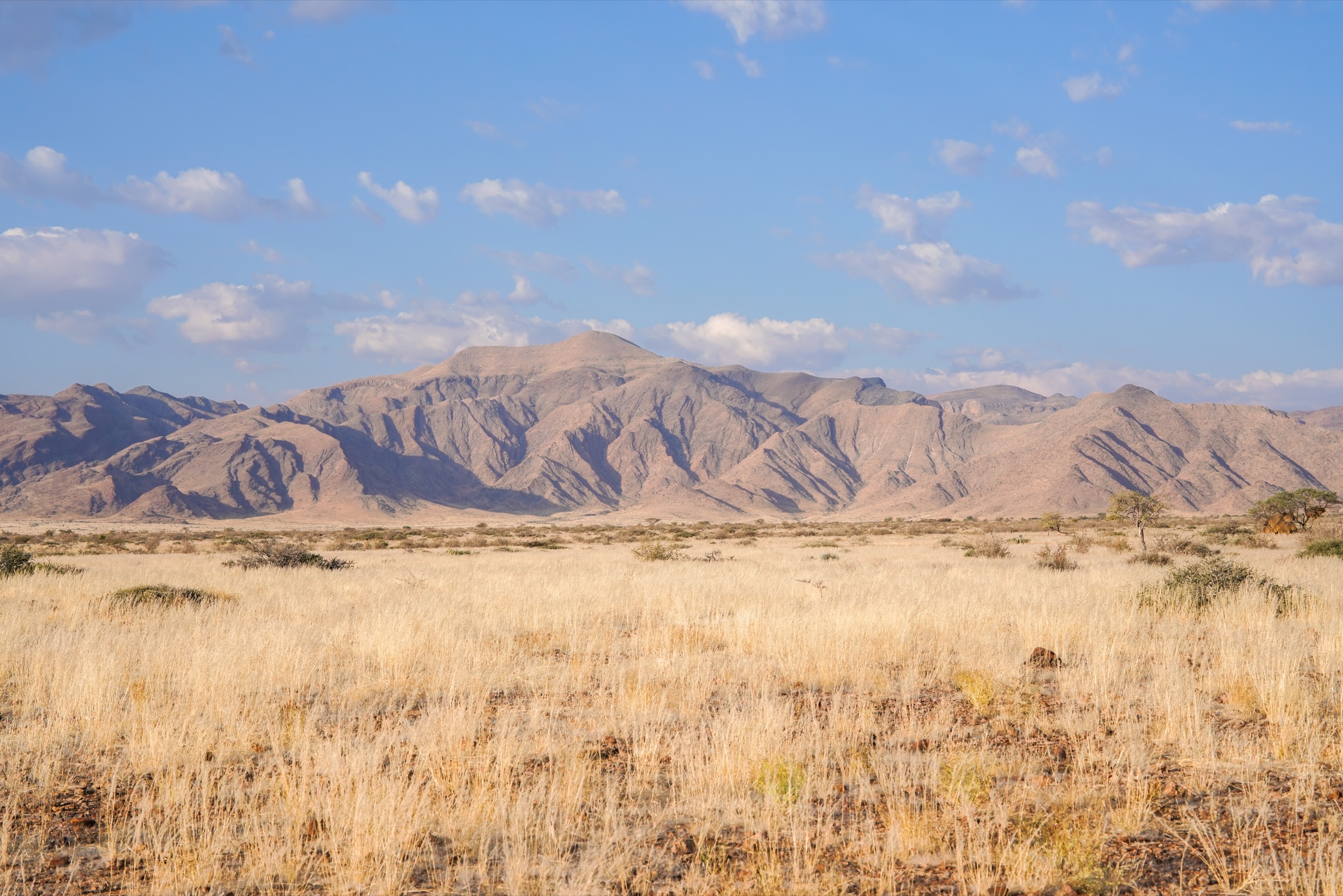
Regional overview
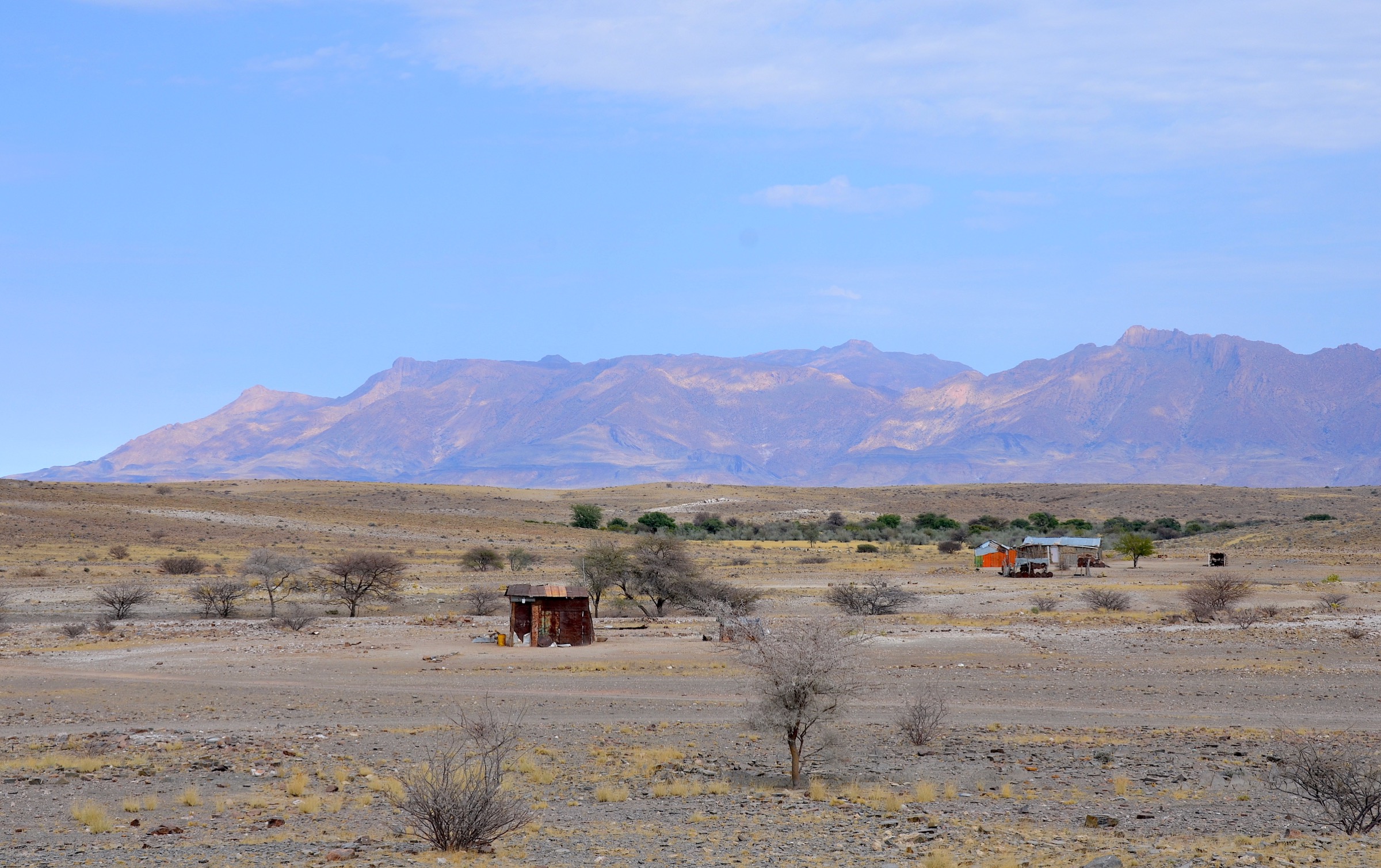
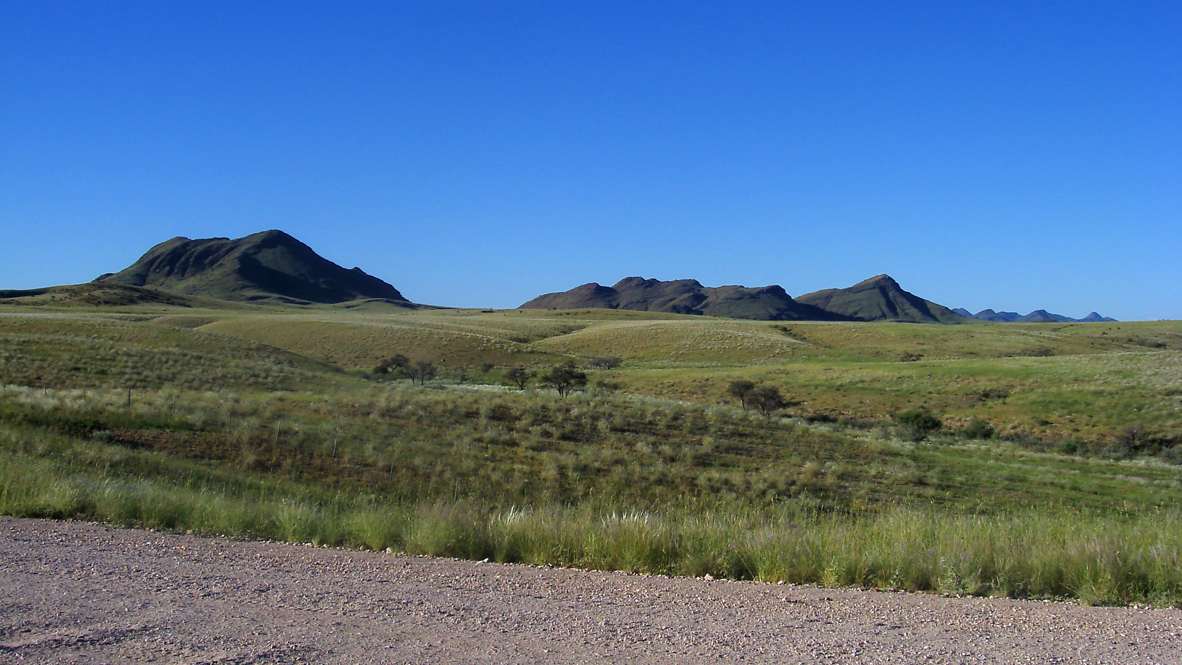
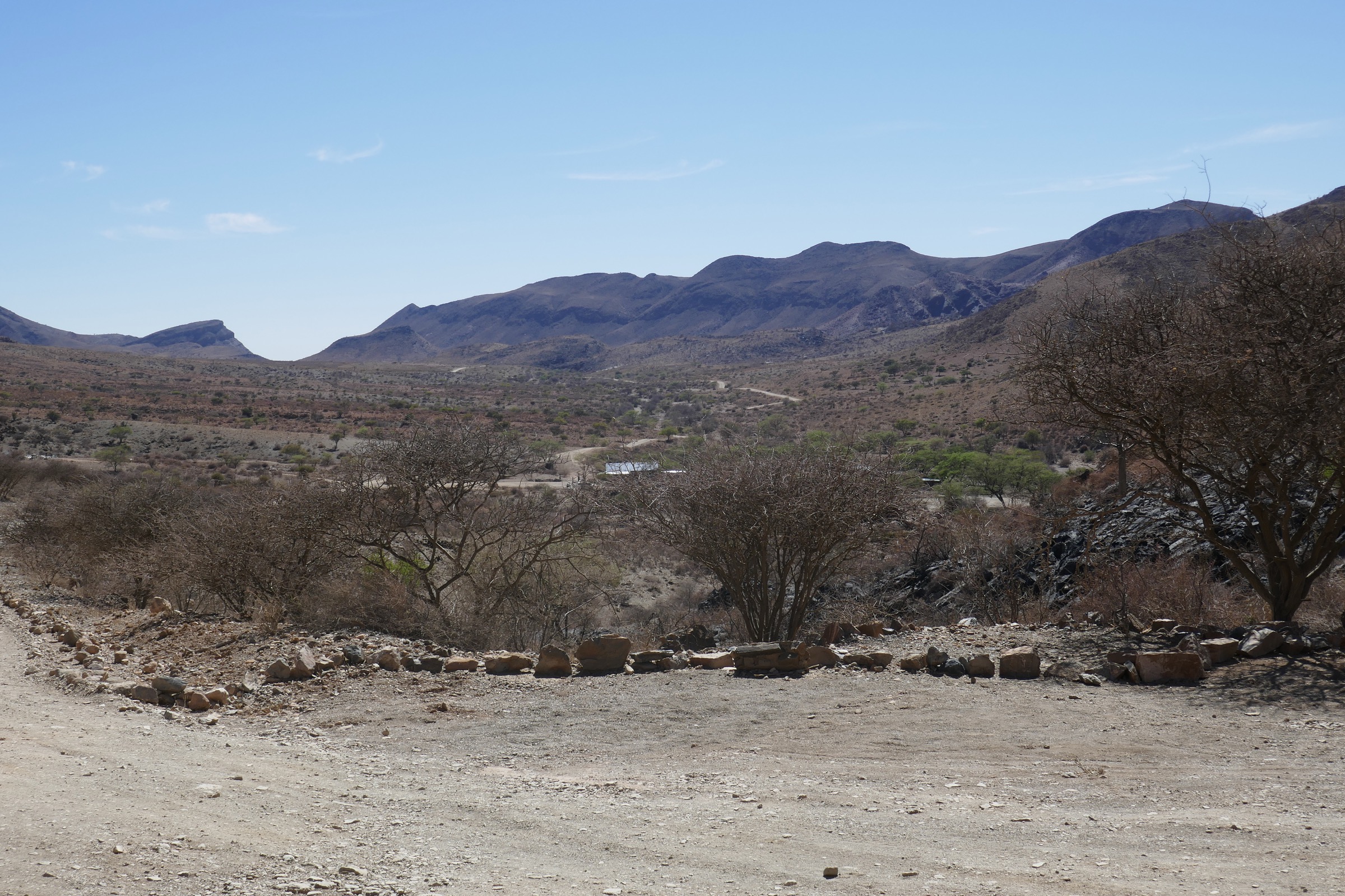
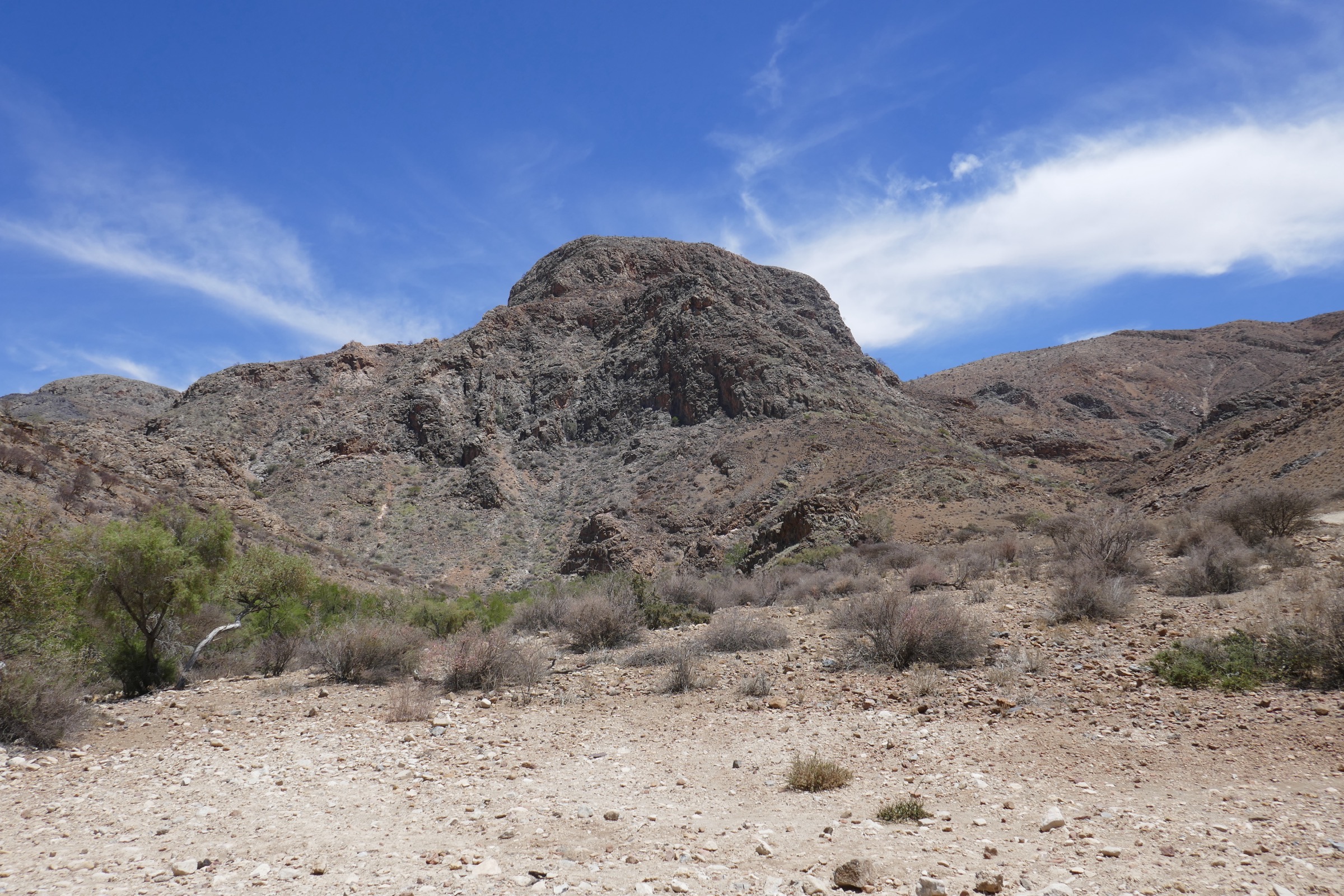
The Naukluft Mountains form a rugged limestone-and-dolomite massif on the eastern edge of Namib-Naukluft National Park, with dry-country plateaus, narrow ravines, seasonal pools, quiver trees, fig-lined gorges and Hartmann’s mountain zebra habitat. The public park section around Naukluft Campsite has two classic day hikes, while neighbouring BullsPort Lodge & Farm adds a dense, legally managed private-trail network on the same massif.
Hiking here is arid mountain walking rather than alpine walking. Routes are usually self-guided or lodge-managed, but water, heat, rough rock, loose descents and occasional chain-protected ledges make the harder routes serious. Cool-season mornings are preferred; avoid hot afternoons and check local access, park fees and lodge booking rules before setting out.
Selection rationale
The final five balance the two official Naukluft Mountain Zebra Park day hikes with three well-described BullsPort routes that add private-access plateau, gorge, rock-arch and cultural walking. Exact GPS/statistical coverage is uneven; where a lodge or official source gives only time and description, distance/elevation are marked unresolved rather than inferred.
- Olive Trail — the classic short gorge-and-chains adventure in the public park.
- Waterkloof Trail — the longer full-day public route along the Naukluft River and high slopes.
- BullsPort Quiver Tree Gorge Trail — the plateau-to-gorge private-access classic.
- BullsPort Bogenfels / Rock Arch Trail — a guided drive plus short rock-arch walk.
- BullsPort Archaeological Trail and Bull’s Head long variant — the cultural and lower-slope counterpart.
Summary table
| # | Hike | Route type | Distance | Gain | Max elevation | Difficulty |
|---|---|---|---|---|---|---|
| 1 | Olive Trail | Loop | 10 km official; 8.7–9.1 km in GPS databases | ~380–490 m | ~1,900 m | Very demanding |
| 2 | Waterkloof Trail | Loop | 17 km | ~550–650 m | ~1,910 m | Hard / very demanding |
| 3 | BullsPort Quiver Tree Gorge Trail | Loop or short drive-assisted descent | 12.6 km GPS loop; short version unresolved | ~550 m (GPS loop) | ~1,850 m | Demanding |
| 4 | BullsPort Bogenfels / Rock Arch Trail | Guided drive + short out-and-back | 30–90 min walking | Easy–moderate; exposed approach drive | ||
| 5 | BullsPort Archaeological Trail and Bull’s Head long variant | Loop / linked lodge trail | Easy with moderate optional detours |
Before you go
Required equipment
The Naukluft is arid mountain walking — heat, water and footing decide the day. The same baseline kit applies across all five routes, with extras noted per hike:
- Sturdy hiking shoes or boots; closed shoes minimum on lodge routes.
- 2–3 litres of water minimum on the shorter routes; 3+ litres on Waterkloof.
- Sun hat, sunglasses, sunscreen and snacks/food.
- Early start; navigation backup on the public-park routes; lodge map/markers on BullsPort routes.
- Pool water is not reliable or potable.
Current access and safety notes
- Heat, dehydration, loose rock and long stretches without shade are the dominant hazards across the massif.
- Flash-flood risk in narrow drainage lines after rain; pools and streams vary with rainfall.
- Snakes and baboons are possible on all routes; rescue access is limited in the public park.
- The Olive Trail chain-protected ledge and the Quiver Tree Gorge protected sections require sure-footedness; both can be intimidating or slippery after rain.
- Public-park routes require self-drive access and park fees; BullsPort routes are private-lodge access and may close in the hottest period — verify booking and dates before travel.
- No practical public transport was verified to either access point.
1. Olive Trail
Snapshot
Itinerary
From the Olive Trail parking area, climb onto a small plateau for broad views over the Naukluft massif. The route then drops into a gorge with quiver trees, euphorbias, large boulders and pools after rain. The crux is a narrow rock-pool traverse with fixed chains before the path joins a rough 4x4 track back to the parking area.
Why it is essential
This is the classic short Naukluft adventure: compact, scenic, varied and more serious than its distance suggests. The chain section and gorge walking make it the most distinctive half-day route in the public park.
Hazards and notes
- Loose rock, boulder hopping and exposure at the chain traverse; the traverse can be intimidating or slippery after rain.
- Baboons, possible snakes and flash-flood risk in narrow drainage lines.
- Long stretches without shade; pool water is not reliable or potable.
GPX / KML links
| Source | URL | Format / access | Reuse status |
|---|---|---|---|
| NWR / park leaflet mirror | namibweb.com | PDF sketch map | Source map only; reuse terms not stated |
| AllTrails — Olive Trail | alltrails.com | Web map / app route | Source route only; AllTrails terms apply |
| Wikiloc — Olive Trail | wikiloc.com | Web route / downloadable track | Source route only; Wikiloc terms apply |
External links
- Official Namibia tourism — Adventure brochure (PDF)
- Namibweb — Olive and Waterkloof trails leaflet (PDF)
- Namibweb — Naukluft trail notes
- AllTrails — Olive Trail
- Wikiloc — Olive Trail
2. Waterkloof Trail
Snapshot
Itinerary
The route starts by following the Naukluft River and side streams, passing seasonal pools, fountains, a weir and quiver trees. It climbs away from the river toward open slopes and high viewpoints, then traverses rough cliff and gorge terrain before returning toward the Naukluft River and the campsite area.
Why it is essential
Waterkloof is the longer classic public day hike in the Naukluft, giving the best full-day sample of the massif: running water in a desert landscape, gorge vegetation, cliffs, plateaus and wildlife habitat.
Hazards and notes
- Heat, dehydration and steep/loose climbs on the high traverse.
- Cliff-path sections, boulder travel and slippery rocks near pools.
- Flash-flood risk and limited rescue access.
- The first 2 km to the pools is sometimes used as a shorter family outing, but the full route is too long and rough for young children in hot weather.
GPX / KML links
| Source | URL | Format / access | Reuse status |
|---|---|---|---|
| NWR / park leaflet mirror | namibweb.com | PDF sketch map | Source map only; reuse terms not stated |
| AllTrails — Waterkloof Hiking Trail | alltrails.com | Web map / app route | Source route only; AllTrails terms apply |
| Wikiloc — Waterkloof Trail | wikiloc.com | Web route / downloadable track | Source route only; Wikiloc terms apply |
External links
- Official Namibia tourism — Adventure brochure (PDF)
- Namibweb — Olive and Waterkloof trails leaflet (PDF)
- Namib-Naukluft fact sheet (PDF)
- AllTrails — Waterkloof Hiking Trail
- Wikiloc — Waterkloof Trail
3. BullsPort Quiver Tree Gorge Trail
Snapshot
Itinerary
The full route climbs from the farm toward the Naukluft plateau, then descends through Quiver Tree Gorge, where fig trees shade pools, quiver trees stand on the slopes and marked variants pass water-smoothed rock and short protected sections. The shorter guided-transfer version drives hikers to the plateau, leaves them to descend the gorge on marked arrows and collects them lower in the valley.
Why it is essential
This is the strongest private-access complement to the public Olive and Waterkloof trails: it gives a longer plateau-to-gorge Naukluft experience with the massif’s signature quiver trees, pools and dry-country wildlife.
Hazards and notes
- The route is only started in the morning; BullsPort materials stress sure-footedness.
- Pools and waterfall features depend on recent rainfall.
- Loose slopes, slippery rock and optional harder unprotected lines in the gorge.
- Snake possibility; exposed 4x4 approach on the short guided-transfer tour.
GPX / KML links
| Source | URL | Format / access | Reuse status |
|---|---|---|---|
| BullsPort Quiver Tree Gorge map | buellsport-naukluft.com | PDF map and route description | Operator source only; reuse terms not stated |
| AllTrails — Quiver Tree Gorge Loop | alltrails.com | Web map / app route | Source route only; AllTrails terms apply |
| BullsPort overview map | buellsport-naukluft.com | PDF overview map | Source overview only |
External links
- BullsPort — hiking page
- BullsPort — 2024-25 fact sheet (PDF)
- BullsPort — Quiver Tree Gorge map (PDF)
- AllTrails — Quiver Tree Gorge Loop
4. BullsPort Bogenfels / Rock Arch Trail
Snapshot
Itinerary
The activity uses a game-viewer drive along Devil’s Gorge to reach the high, exposed approach area. A short walk leads to a viewpoint over the Bogenfels rock arch of the Naukluft; sure-footed walkers can continue more directly to the arch on a zebra path before returning by vehicle with views over the Tsondab valley.
Why it is essential
It adds a landform that the public park hikes do not cover: a rock-arch objective reached through managed private access and a dramatic escarpment drive.
Hazards and notes
- Exposed vehicle track beside steep cliffs; operator scheduling and the condition of the 4x4 approach must be checked locally.
- Loose rocky footpath and an optional off-path-feeling zebra trail.
- Heat and limited shade; avoid high-heat periods.
GPX / KML links
| Source | URL | Format / access | Reuse status |
|---|---|---|---|
| BullsPort hiking page | buellsport-naukluft.com | Operator route description | Source route only; site reuse terms not stated |
| BullsPort overview map | buellsport-naukluft.com | PDF overview map | Source overview only; no GPX found |
External links
5. BullsPort Archaeological Trail and Bull’s Head long variant
Snapshot
Itinerary
From the lodge area, the route explores slopes at the foot of the Naukluft, places used historically as camps, workshops and hunting lookouts, and the Tsondab dry-river corridor. The long variant circles the Bull’s Head hill at the valley entrance, with an optional detour to a cave and lookout over the Tsondab Valley and plains east of the massif.
Why it is essential
This is the cultural and lower-slope counterpart to the bigger gorge hikes: it ties the Naukluft landscape to human use, dry-river ecology and the transition from plains to mountain wall.
Hazards and notes
- Rocky tracks, loose detours, heat, thorn scrub and limited shade away from the dry river.
- Best done outside midday heat; wildlife sightings are possible but not guaranteed.
GPX / KML links
| Source | URL | Format / access | Reuse status |
|---|---|---|---|
| BullsPort hiking page | buellsport-naukluft.com | Operator route description | Source route only; site reuse terms not stated |
| BullsPort overview map | buellsport-naukluft.com | PDF overview map | Source overview only; no GPX found |
External links
External links
| Source | URL |
|---|---|
| Official Namibia tourism — Adventure brochure (PDF) | visitnamibia.com.na |
| Namibweb — Olive and Waterkloof trails leaflet (PDF) | namibweb.com |
| Namibweb — Naukluft trail notes | namibweb.com |
| Namib-Naukluft fact sheet (PDF) | the-eis.com |
| BullsPort — hiking page | buellsport-naukluft.com |
| BullsPort — 2024-25 fact sheet (PDF) | buellsport-naukluft.com |
| BullsPort — Quiver Tree Gorge map (PDF) | buellsport-naukluft.com |
| BullsPort — overview map (PDF) | buellsport-naukluft.com |
| AllTrails — Olive Trail | alltrails.com |
| AllTrails — Waterkloof Hiking Trail | alltrails.com |
| AllTrails — Quiver Tree Gorge Loop | alltrails.com |
| Wikiloc — Olive Trail | wikiloc.com |
| Wikiloc — Waterkloof Trail | wikiloc.com |