Regional overview
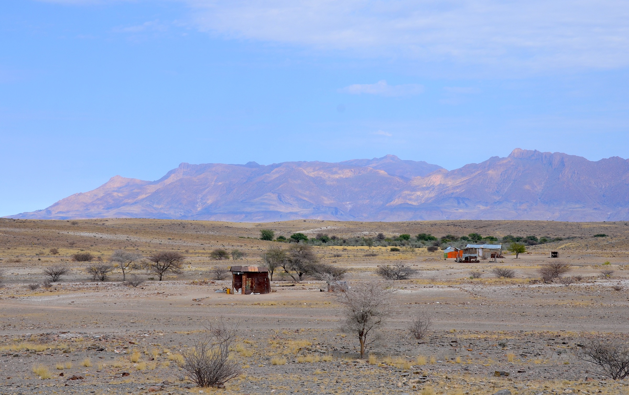
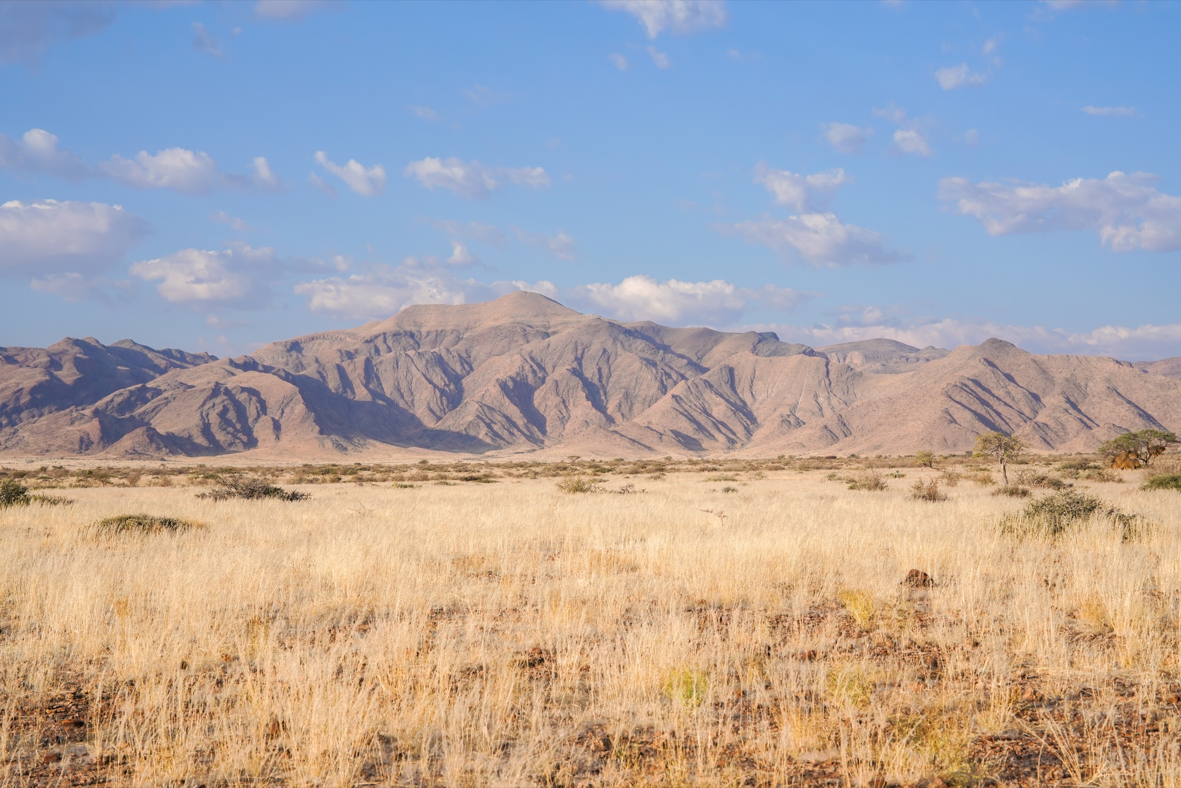
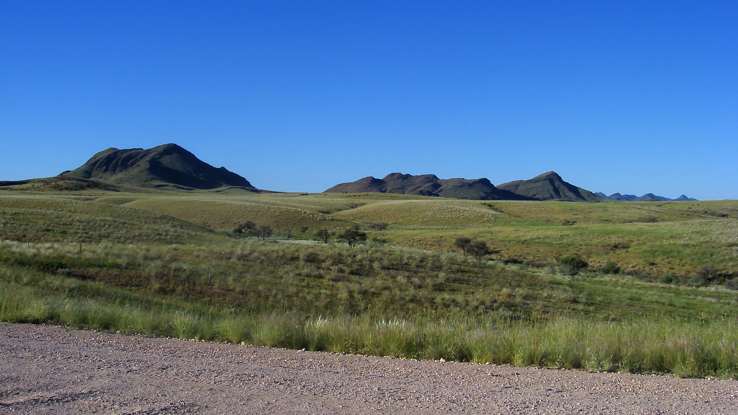
The Khomas Hochland is the broken highland belt west and south-west of Windhoek, where thornbush savanna, granite ridges, dry rivers and the Great Western Escarpment give Namibia’s capital its mountain backdrop. Public walking is most practical in Daan Viljoen Game Reserve, while private guest farms such as Godeis and Hakos provide marked day hikes in the wider highland and Gamsberg-pass country.
The walking character is dry, rocky and exposed rather than forested. Distances can be moderate, but shade and water are limited and many routes are on private land. Hikers should confirm fees, opening dates, guest-only rules and route conditions with the reserve/lodge before travel.
Selection rationale
This selection favours legally described, repeatable day walks rather than informal ridge wandering on private farms. It includes Windhoek’s classic reserve loop, a short wildlife/dam walk, two Godeis day hikes, and one Hakos/Gamsberg route that represents the higher escarpment edge of the Khomas Hochland.
- Daan Viljoen Rooibos Trail — the classic 9 km half-day loop close to Windhoek.
- Daan Viljoen Wag-‘n-Bietjie Trail — the short reserve walk toward Stengel Dam.
- Farm Godeis Leopard Trail — a 16 km private-farm long day route.
- Farm Godeis Dassie Trail — the half-day Godeis circuit.
- Hakos Quiver Tree Trail — a short rocky climb on the Gamsberg-pass side.
Summary table
| # | Hike | Route type | Distance | Gain | Max elevation | Difficulty |
|---|---|---|---|---|---|---|
| 1 | Daan Viljoen Rooibos Trail | Loop | 9 km official; 9.2 km Wikiloc | approx. 173 m | approx. 1,759 m | Moderate |
| 2 | Daan Viljoen Wag-‘n-Bietjie Trail | Out-and-back / short loop | 3 km official; one GPS track 5.1 km | approx. 30 m GPS track | approx. 1,696 m | Easy |
| 3 | Farm Godeis Leopard Trail | Loop | 16 km | Hard / long day | ||
| 4 | Farm Godeis Dassie Trail | Loop | 7 km | Moderate | ||
| 5 | Hakos Quiver Tree Trail | Loop / marked footpath from Gamsberg-pass side | 5 km | 265 m ascent / 265 m descent | Moderate |
1. Daan Viljoen Rooibos Trail
Snapshot
Itinerary
From the reserve reception area, the Rooibos Trail makes a larger loop through the rolling hills and dry streamlines of Daan Viljoen. The route alternates open grassland, rocky ridges and wildlife-viewing sections, with views back toward Windhoek and chances of seeing giraffe, zebra, wildebeest, kudu and birdlife.
Why it is essential
It is the classic half-day hike of the Khomas Hochland because it is close to Windhoek, legally straightforward and gives a compact sample of the highland savanna landscape.
Hazards and notes
Shade is limited. Carry all water, and treat summer heat or thunderstorms seriously.
Heat, thorn scrub, rough stones, low but real navigation risk if markers are missed, and wildlife-viewing distance rules in the reserve.
GPX / KML links
| Source | URL | Format / access | Reuse status |
|---|---|---|---|
| Wikiloc Rooibos Trail | wikiloc.com | Web route / downloadable track via Wikiloc | Wikiloc terms apply; source route only, attribution/terms must be checked before reuse |
| Visit Namibia Daan Viljoen page | visitnamibia.com.na | Official tourism route description | Reuse terms not stated; source description only |
External links
2. Daan Viljoen Wag-‘n-Bietjie Trail
Snapshot
Itinerary
This short trail leaves the reception/lodge area for an easy reserve walk toward the dam and nearby wildlife-viewing ground. It suits a hot-day early morning, a family outing or a short birding circuit when the full Rooibos Trail is too long.
Why it is essential
It is the accessible, short-format Khomas Hochland walk: a manageable first taste of Daan Viljoen’s hills, dams and wildlife without committing to the 9 km loop.
Hazards and notes
The dam and vegetation conditions vary with rainfall. The route is still exposed, so carry water even for the short walk.
Heat, sun exposure, thorn vegetation, uneven ground and normal reserve wildlife precautions.
GPX / KML links
| Source | URL | Format / access | Reuse status |
|---|---|---|---|
| Wikiloc Wag-n-Bietjie track | wikiloc.com | Web route / downloadable track via Wikiloc | Wikiloc terms apply; source route only, track may include a non-official extension |
| Visit Namibia Daan Viljoen page | visitnamibia.com.na | Official tourism route description | Reuse terms not stated; source description only |
External links
3. Farm Godeis Leopard Trail
Snapshot
Itinerary
The Leopard Trail is the long day route at Farm Godeis. It leaves the campsite area for a full circuit through rocky Khomas Hochland slopes, dry valleys and viewpoints, including the farm’s Godeis’ View Point section. The operator markets the route to hikers who want a more serious farm-country day than the shorter Dassie Trail.
Why it is essential
It represents the private-farm hiking character of the Khomas Hochland: long, quiet, rocky and self-contained, with bigger views than the Windhoek-edge reserve trails.
Hazards and notes
Farm Godeis is primarily a weekend hiking/camping destination. Verify current opening days, water advice and whether day visitors can hike without camping.
Heat, remoteness, sparse shade, loose rocky ground, thorn scrub, possible snakes and limited phone/rescue options.
GPX / KML links
| Source | URL | Format / access | Reuse status |
|---|---|---|---|
| Farm Godeis hiking page | godeis.com | Operator route description | Reuse terms not stated; source route only, no GPX found |
| Hike Namibia Farm Godeis page | hikenamibia.com | Route summary | Site terms not checked; secondary source only |
| OpenStreetMap search | openstreetmap.org | Map search | OSM data ODbL; coordinate/geometry cross-check only |
External links
- Farm Godeis — Hiking
- Farm Godeis — German route list with distances
- Hike Namibia — Farm Godeis
- Farm Godeis — Directions
4. Farm Godeis Dassie Trail
Snapshot
Itinerary
The Dassie Trail is the shorter Godeis circuit, designed for hikers who want a half-day walk from the farm campsite area. It follows marked farm terrain through dry highland slopes and rocky habitat, with enough distance to feel like a proper hike without the full commitment of the Leopard Trail.
Why it is essential
It gives the Godeis private-farm experience in a practical half-day format and balances the longer Leopard Trail in the catalogue.
Hazards and notes
Start early and carry all water. Confirm current trail marking and visitor rules with the farm.
Heat, loose stones, thorn scrub, sparse shade and farm-access navigation.
GPX / KML links
| Source | URL | Format / access | Reuse status |
|---|---|---|---|
| Farm Godeis hiking page | godeis.com | Operator route description | Reuse terms not stated; source route only, no GPX found |
| Hike Namibia Farm Godeis page | hikenamibia.com | Route summary | Site terms not checked; secondary source only |
External links
5. Hakos Quiver Tree Trail
Snapshot
Itinerary
This short Hakos route climbs through highland desert vegetation to a quiver-tree area and viewpoints on the Gamsberg-pass side of the Khomas Hochland. The route is part of Hakos’s mapped trail network and is distributed with Komoot QR codes for navigation.
Why it is essential
It represents the western escarpment edge of the Khomas Hochland: quiver trees, open mountain-desert views and a short but real climb near one of Namibia’s best-known highland passes.
Hazards and notes
Trail access is tied to Hakos operations and guest/visitor rules. Confirm whether non-guests can walk the route and whether Komoot links are current.
Heat, loose rock, steep sections, sparse shade, private-road access and limited water.
GPX / KML links
| Source | URL | Format / access | Reuse status |
|---|---|---|---|
| Hakos Quiver Tree Trail PDF | hakos-astrofarm.com | PDF route sheet with stats | Reuse terms not stated; source route only, do not reuse map/artwork without permission |
| Hakos Komoot QR code sheet | hakos-astrofarm.com | QR links to Komoot routes | Komoot terms apply; source route only, GPX/export terms must be checked |
| Hakos downloads menu | hakos-astrofarm.com | Site menu linking current trail PDFs | Reuse terms not stated; source description only |
External links
- Hakos Astrofarm — Downloads menu
- Hakos Astrofarm — Quiver Tree Trail PDF
- Hakos Astrofarm — Komoot trail QR PDF
External links
| Source | URL |
|---|---|
| Visit Namibia — Daan Viljoen | visitnamibia.com.na |
| Info Namibia — Daan Viljoen Game Park | info-namibia.com |
| Wikiloc — Rooibos Trail | wikiloc.com |
| Wikiloc — Wag-n-Bietjie Trail | wikiloc.com |
| Farm Godeis — Hiking | godeis.com |
| Farm Godeis — German route list | godeis.com |
| Farm Godeis — Directions | godeis.com |
| Hike Namibia — Farm Godeis | hikenamibia.com |
| Hakos Astrofarm — Downloads menu | hakos-astrofarm.com |
| Hakos Astrofarm — Quiver Tree Trail PDF | hakos-astrofarm.com |
| Hakos Astrofarm — Komoot trail QR PDF | hakos-astrofarm.com |