Regional overview
The Western Ghats are a long monsoon mountain chain of basalt escarpments, laterite plateaux, shola-grassland mosaics, rainforests, high tea country, pilgrimage summits, and Maratha hill forts. Day hiking ranges from laddered Sahyadri summit paths to regulated forest treks in Karnataka and Kerala.
The strongest day-hike centres are the Maharashtra Sahyadris around Igatpuri, Lonavala, Bhandardara and Matheran/Karjat; the Karnataka highlands around Chikkamagaluru, Kudremukh and Kodagu; and Kerala’s Wayanad highlands. Access rules differ sharply by state and protected area. Several routes require forest permits, daily caps, registered guides, or online booking.
The safest general season is post-monsoon to winter, roughly October to February. Monsoon treks are famous but more serious: streams swell, ladders and rock steps are slippery, leeches are common in the south, and cloud can erase navigation on open plateaux. Summer fire-risk closures can affect Karnataka protected-area routes.
Selection rationale
These five hikes give a north-to-south spread: Maharashtra’s highest peak, a classic Sahyadri fort traverse, the Kudremukh grassland-rainforest peak, Kodagu’s Tadiandamol shola summit, and Wayanad’s regulated Chembra / heart-lake route.
Summary table
| # | Hike | Country | Route type | Distance | Gain | Max elevation | Difficulty |
|---|---|---|---|---|---|---|---|
| 1 | Kalsubai Peak from Bari | India | Out-and-back | 7.6-13.2 km | 802-820 m | 1,646 m | Hard |
| 2 | Rajmachi Fort Trek from Lonavala side | India | Out-and-back / fort traverse variant | 23.7 km (10.3 km Karjat variant) | 800 m (744 m Karjat variant) | ca. 826 m | Hard |
| 3 | Kudremukh Peak Trek | India | Out-and-back | 18-28.8 km | 800-1,864 m | 1,894 m | Hard |
| 4 | Tadiandamol Peak from Nalaknad Palace side | India | Out-and-back | 11.9 km | 830 m | 1,748 m | Hard |
| 5 | Chembra Peak / Heart Lake route | India | Out-and-back | 16.6 km | 1,194 m | ca. 2,100 m | Hard |
1. Kalsubai Peak from Bari

Snapshot
Itinerary
The route starts in Bari village, crosses lower fields and stream sections, then climbs the eastern face of Kalsubai. The path uses a mixture of dirt trail, rock, cemented steps and fixed iron ladders before reaching the small summit temple. The return follows the same route.
Why it is essential
Kalsubai is Maharashtra’s highest peak and one of the most recognised day hikes in the northern Western Ghats. The ladders, temple summit and views over Bhandardara and the surrounding Sahyadri peaks make it a defining regional route.
Equipment
Mountain hiking equipment: sturdy shoes, water, food, sun protection, rain layer in monsoon, and headtorch if starting for sunrise. Trekking poles help on descent but can be awkward on ladders.
Hazards and notes
Iron ladders and rock steps can be slippery. Monsoon crowds and low cloud increase risk. Carry water from Bari; do not rely on summit water. Avoid exposed upper sections during thunderstorms.
GPX / KML links
| Source | URL | Format / access | Reuse status |
|---|---|---|---|
| AllTrails — Kalsubai Peak Trail | alltrails.com | Source route page / app track | AllTrails terms apply; route-file reuse not confirmed |
| OpenStreetMap search | openstreetmap.org | Map data / search | OSM data is ODbL; geometry cross-check target |
External links
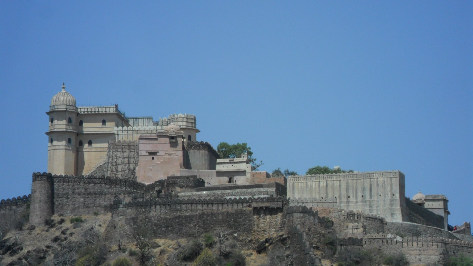
2. Rajmachi Fort Trek from Lonavala side

Snapshot
Itinerary
The Lonavala-side route uses the long approach through the Tungarli/Rajmachi plateau towards Udhewadi village and the twin hill forts of Shrivardhan and Manaranjan. The Karjat/Kondhane side is shorter but steeper, climbing from the Konkan side near the Kondhane caves. Day hikers can adapt the route as an out-and-back or arrange a traverse with transport at both ends.
Why it is essential
Rajmachi is a classic Sahyadri fort trek: long plateau approach, monsoon waterfalls, historic fort architecture, and strategic views between the Deccan plateau and Konkan side.
Equipment
Mountain hiking equipment: boots or grippy trail shoes, water, food, waterproof layer in monsoon, sun protection, map/GPS, and headtorch for a long return.
Hazards and notes
Monsoon mud, stream crossings, leeches, slippery fort steps, and long distances are key issues. Confirm transport and return timing, especially if using the Karjat side.
GPX / KML links
| Source | URL | Format / access | Reuse status |
|---|---|---|---|
| AllTrails — Rajmachi Fort Trek | alltrails.com | Source route page / app track | AllTrails terms apply; route-file reuse not confirmed |
| AllTrails — Rajmachi Fort Trek (Karjat Side) | alltrails.com | Variant source route page | AllTrails terms apply; route-file reuse not confirmed |
| OpenStreetMap search | openstreetmap.org | Map data / search | OSM data is ODbL; geometry cross-check target |
External links
3. Kudremukh Peak Trek

Snapshot
Itinerary
The usual trekking route climbs from the Mullodi / Kudremukh side through wet forest, stream crossings and open shola-grassland slopes to the horse-face summit area of Kudremukh. The route is inside a highly protected landscape and must follow current forest-department permissions, guide requirements and daily caps.
Why it is essential
Kudremukh is one of the most famous high grassland-and-shola hikes in the Indian Western Ghats. It represents the wet, biodiversity-rich Karnataka section of the range more strongly than the drier Sahyadri fort routes.
Equipment
Mountain hiking equipment: sturdy boots, rain protection, leech socks in wet season, trekking poles, water, food, warm layer, map/GPS, and headtorch. Follow any mandatory guide/GPS registration requirements.
Hazards and notes
Access is volatile. A January 2026 report described a temporary trekking ban in Kudremukh National Park due to fire risk, while a June 2026 report indicated Kudremukh range trek tickets were again being sold and heavily oversubscribed. Confirm current booking on the Karnataka forest/trekking portal before travel. Streams, leeches, elephants/wildlife restrictions, thunderstorms and fog are key hazards.
GPX / KML links
| Source | URL | Format / access | Reuse status |
|---|---|---|---|
| AllTrails — Kudremukh Trek | alltrails.com | Source route page / app track | AllTrails terms apply; route-file reuse not confirmed |
| OpenStreetMap search | openstreetmap.org | Map data / search | OSM data is ODbL; geometry cross-check target |
External links
- AllTrails — Kudremukh Trek
- Times of India — Trekking banned in Kudremukh National Park ahead of summer
- Times of India — Trek tickets sold out in minutes; locals allege booking racket in Kudremukh range
4. Tadiandamol Peak from Nalaknad Palace side

Snapshot
Itinerary
The route starts near Nalaknad Palace and climbs through coffee-estate edges, shola forest and open grassland to the Tadiandamol summit, the highest peak in Kodagu. The return follows the same route.
Why it is essential
Tadiandamol gives the catalogue a Kodagu highland summit: shola valleys, open grass slopes, and a major non-technical Western Ghats viewpoint south of Kudremukh.
Equipment
Mountain hiking equipment: boots, water, food, rain layer, sun protection, leech protection in wet season, map/GPS and headtorch.
Hazards and notes
Leeches, slippery clay, fog, thunderstorms and late descents are the main hazards. Karnataka forest rules are tightening; confirm permit/guide/day-cap rules before departure.
GPX / KML links
| Source | URL | Format / access | Reuse status |
|---|---|---|---|
| AllTrails — Tadiandamol Peak | alltrails.com | Source route page / app track | AllTrails terms apply; route-file reuse not confirmed |
| OpenStreetMap search | openstreetmap.org | Map data / search | OSM data is ODbL; geometry cross-check target |
External links
- AllTrails — Tadiandamol Peak
- Times of India — Karnataka forest department charts out SOP to keep trekkers safe
5. Chembra Peak / Heart Lake route

Snapshot
Itinerary
The route climbs from the Meppadi side through plantation-edge and montane grassland towards the well-known heart-shaped lake below Chembra Peak. Some sources describe the full peak route, but official/forest access has often been restricted to lower objectives such as the lake. The current allowed endpoint must be checked with the local forest/VSS office before starting.
Why it is essential
Chembra is Wayanad’s signature highland trek and one of Kerala’s most recognisable Western Ghats walks. The grassland slopes and heart-shaped lake are the route’s defining features.
Equipment
Mountain hiking equipment: sturdy shoes, water, food, rain layer, sun protection, leech protection in wet season, map/GPS, and any required permit/guide documents.
Hazards and notes
Access can be limited by forest rules, daily caps, weather, and conservation concerns. Do not assume the summit is open. Fog, heat, slippery grass, leeches and thunderstorm exposure are common issues.
GPX / KML links
| Source | URL | Format / access | Reuse status |
|---|---|---|---|
| AllTrails — Chembra Peak | alltrails.com | Source route page / app track | AllTrails terms apply; route-file reuse not confirmed |
| Kerala Tourism — Chembra Peak | keralatourism.org | Official tourism source page | Website terms not fully checked; no GPX |
| OpenStreetMap search | openstreetmap.org | Map data / search | OSM data is ODbL; geometry cross-check target |
External links
External links
| Source | URL |
|---|---|
| AllTrails — Kalsubai Peak Trail | alltrails.com |
| AllTrails — Rajmachi Fort Trek | alltrails.com |
| AllTrails — Rajmachi Fort Trek (Karjat Side) | alltrails.com |
| AllTrails — Kudremukh Trek | alltrails.com |
| AllTrails — Tadiandamol Peak | alltrails.com |
| AllTrails — Chembra Peak | alltrails.com |
| Kerala Tourism — Chembra Peak | keralatourism.org |
| Times of India — Trekking banned in Kudremukh National Park | timesofindia.indiatimes.com |
| Times of India — Trek tickets sold out; Kudremukh range | timesofindia.indiatimes.com |
| Times of India — Karnataka forest SOP for trekkers | timesofindia.indiatimes.com |