Regional overview
The Aravalli Range is ancient, dry, and culturally layered rather than alpine. Essential day walks here are often fort ridges, sanctuary trails, and high-point walks rather than continuous wilderness footpaths. Rajasthan Tourism and Delhi Forest sources verify the key sites; GPS-quality hiking stats are sparse, so several distances are approximate or sourced from trail databases.
Distances and elevations marked approximate need later GIS confirmation before publication.
Selection rationale
The five hikes cover the Aravalli’s defining walking themes: the range’s highest point at Guru Shikhar above Mount Abu, the UNESCO Hill Fort precinct at Kumbhalgarh, the Jaipur ridge walk to Nahargarh, the Alwar fort and dry-forest ridge at Bala Quila, and the northern Aravalli terminal sanctuary at Asola Bhatti on the Delhi Ridge.
Summary table
| # | Hike | Country | Route type | Distance | Gain | Max elevation | Difficulty |
|---|---|---|---|---|---|---|---|
| 1 | Guru Shikhar, Mount Abu | India | Out-and-back high point | Approx. 1-3 km | Approx. 100-250 m | Approx. 1,722 m | Easy-moderate |
| 2 | Kumbhalgarh Fort Viewpoint / Inner Fort Walk | India | Out-and-back / short loop | 1.1 km on AllTrails; 1-4 km exploring precinct | 60 m on AllTrails; up to approx. 250 m exploring | Approx. 1,100 m | Easy-moderate |
| 3 | Nahargarh Fort Trail, Jaipur | India | Out-and-back ridge/fort | 9.5 km | 326 m | Approx. 700 m | Moderate |
| 4 | Bala Quila / Alwar Fort Ridge Walk | India | Out-and-back road/trail | Approx. 8-12 km | Approx. 300 m | Approx. 600 m | Moderate |
| 5 | Asola Bhatti Wildlife Sanctuary Walking Trails | India | Short loop / out-and-back | Approx. 2-6 km | Minor | Easy |
1. Guru Shikhar, Mount Abu
Snapshot
Itinerary
Climb the final stair/path section to Guru Shikhar and the Dattatreya temple, with wide views over Mount Abu and the surrounding Aravalli hills.
Why it is essential
Highest point of the Aravalli Range and Rajasthan’s clearest high-point objective.
Equipment
Walking shoes, sun hat, water; avoid midday heat.
Hazards and notes
Heat, steps, crowds, monkeys/food snatching.
GPX / KML links
| Source | URL | Format / access | Reuse status |
|---|---|---|---|
| Rajasthan Tourism — Mount Abu | tourism.rajasthan.gov.in | Source page | Site terms apply; no GPX found |
External links
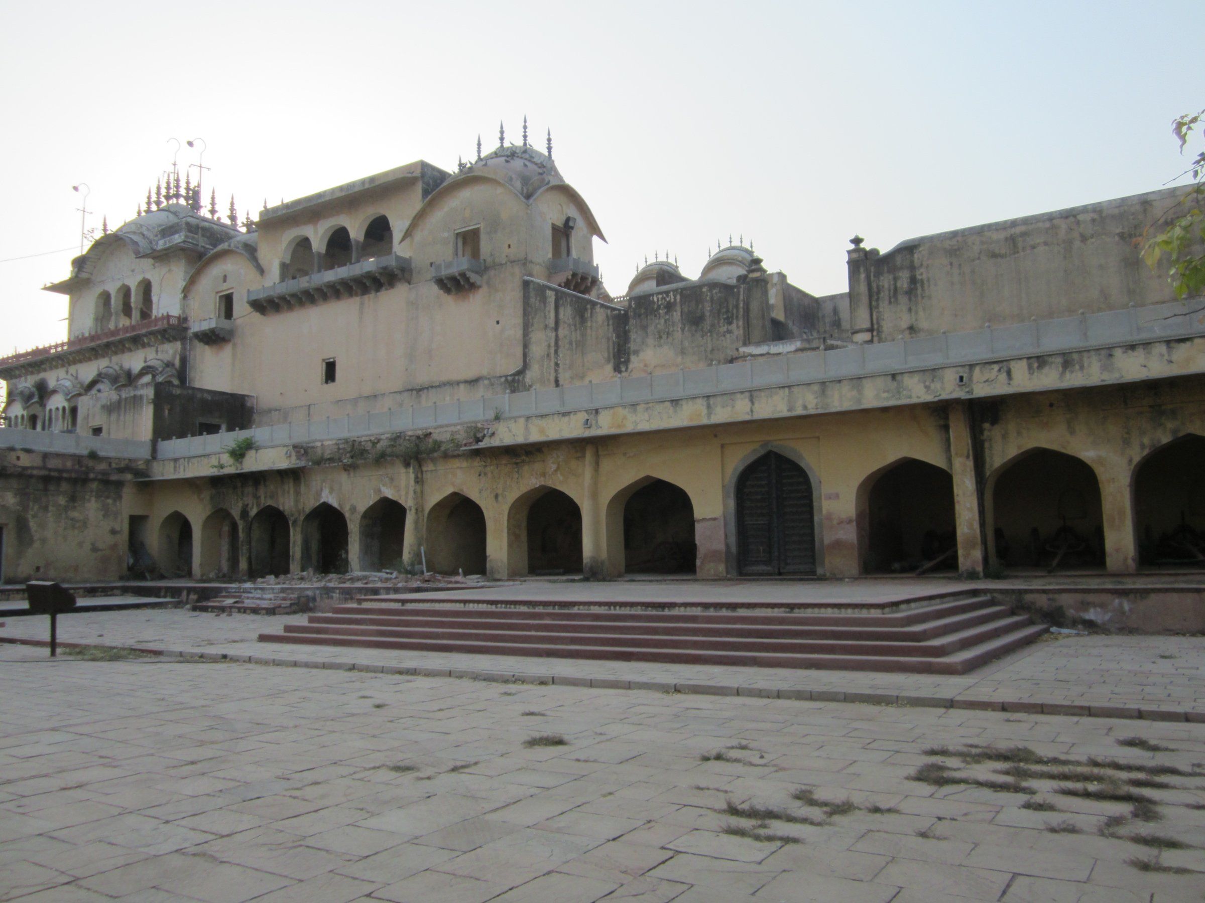
2. Kumbhalgarh Fort Viewpoint / Inner Fort Walk
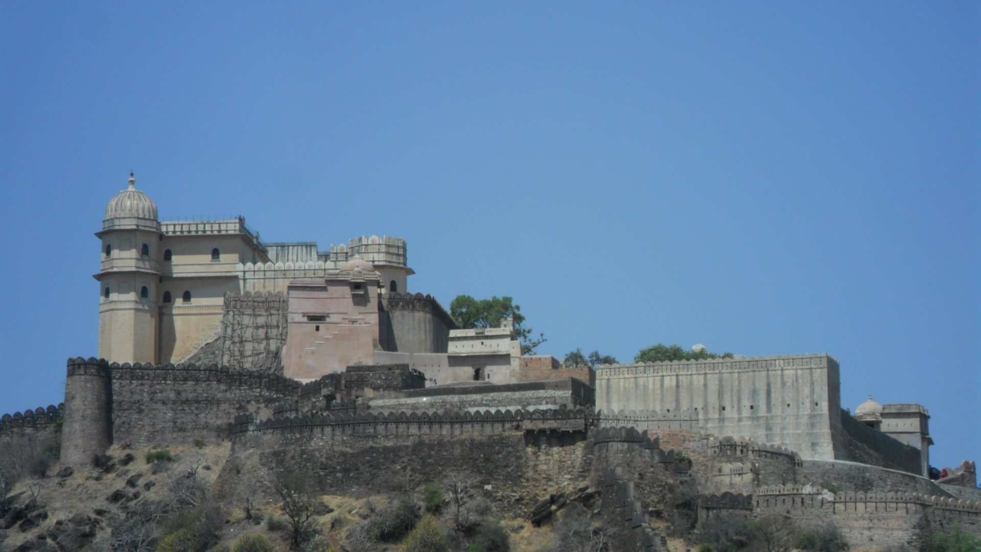
Snapshot
Itinerary
Walk up through the fort complex toward Badal Mahal and the wall/viewpoints, using legal visitor routes within the fort precinct rather than attempting the full historic wall.
Why it is essential
UNESCO Hill Fort setting, massive Aravalli fortifications, and one of Rajasthan’s most dramatic hilltop heritage walks.
Equipment
Walking shoes, sun protection, water.
Hazards and notes
Heat, rough stone steps, unguarded edges in parts of the fort.
GPX / KML links
| Source | URL | Format / access | Reuse status |
|---|---|---|---|
| AllTrails — Kumbhalgarh Fort Trail | alltrails.com | Recorded track | GPX reuse terms unresolved |
| Rajasthan Tourism — Kumbhalgarh Fort | tourism.rajasthan.gov.in | Source page | Site terms apply |
External links
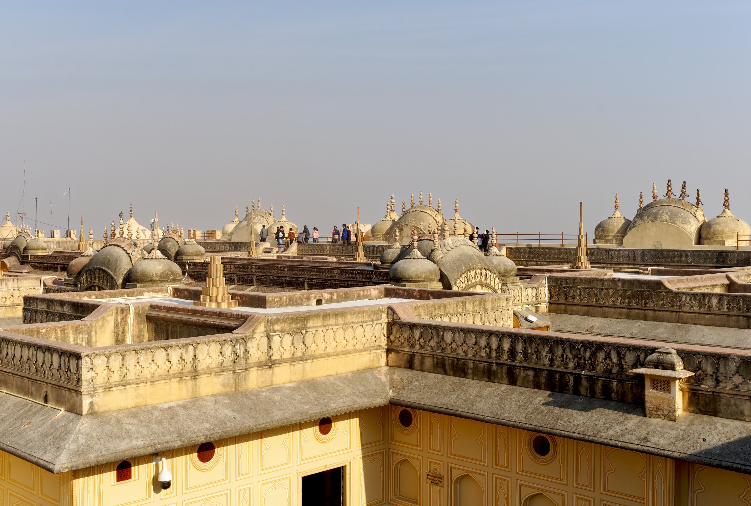
3. Nahargarh Fort Trail, Jaipur
Snapshot
Itinerary
Climb from Jaipur to Nahargarh Fort on the Aravalli ridge, visit the fort and city viewpoints, then return the same way. Jaigarh/Amer can be added by vehicle or longer ridge/road walking but is not included in the core stats.
Why it is essential
The classic Jaipur city-to-ridge hike, joining urban heritage with an Aravalli skyline.
Equipment
Walking shoes, water, sun protection; headlamp only if starting pre-dawn and within legal hours.
Hazards and notes
Heat, traffic near road sections, monkeys, isolated trail sections.
GPX / KML links
| Source | URL | Format / access | Reuse status |
|---|---|---|---|
| AllTrails — Nahargarh Fort Trail | alltrails.com | Recorded track | GPX reuse terms unresolved |
| Rajasthan Tourism — Jaipur | tourism.rajasthan.gov.in | Source page | Site terms apply |
External links
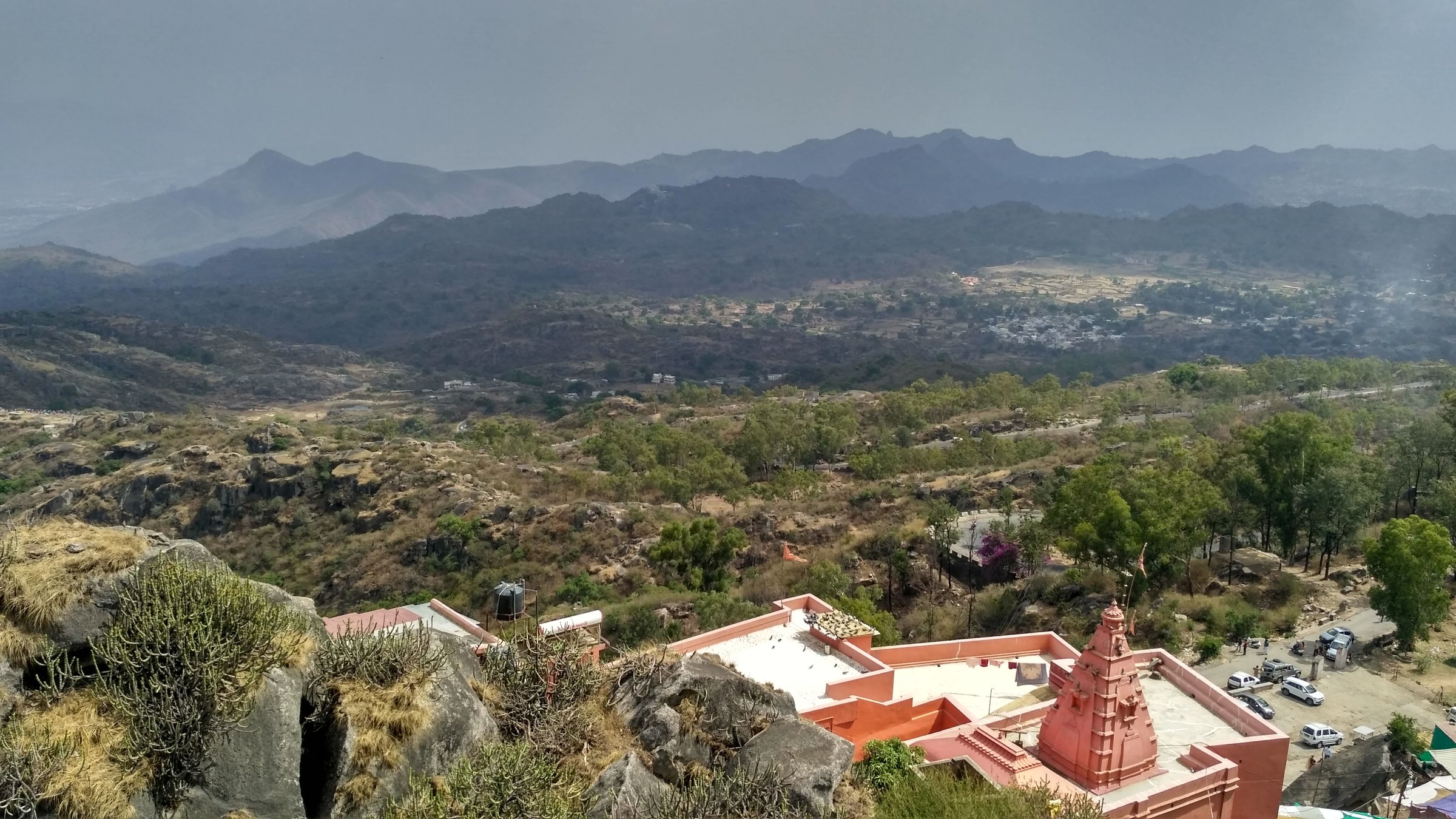
4. Bala Quila / Alwar Fort Ridge Walk
Snapshot
Itinerary
Ascend from Alwar toward Bala Quila / Alwar Fort above the city, using permitted visitor access through the fort/forest area, then return the same way.
Why it is essential
A northern Aravalli fort walk with city, dry forest, and ridge views.
Equipment
Walking shoes, water, sun protection; check current entry/permit rules.
Hazards and notes
Heat, road traffic, wildlife/forest access rules, limited shade.
GPX / KML links
| Source | URL | Format / access | Reuse status |
|---|---|---|---|
| Rajasthan Tourism — Alwar | tourism.rajasthan.gov.in | Source page | Site terms apply; no GPX found |
| Incredible India — Bala Quila | incredibleindia.gov.in | Source page | Site terms apply |
External links
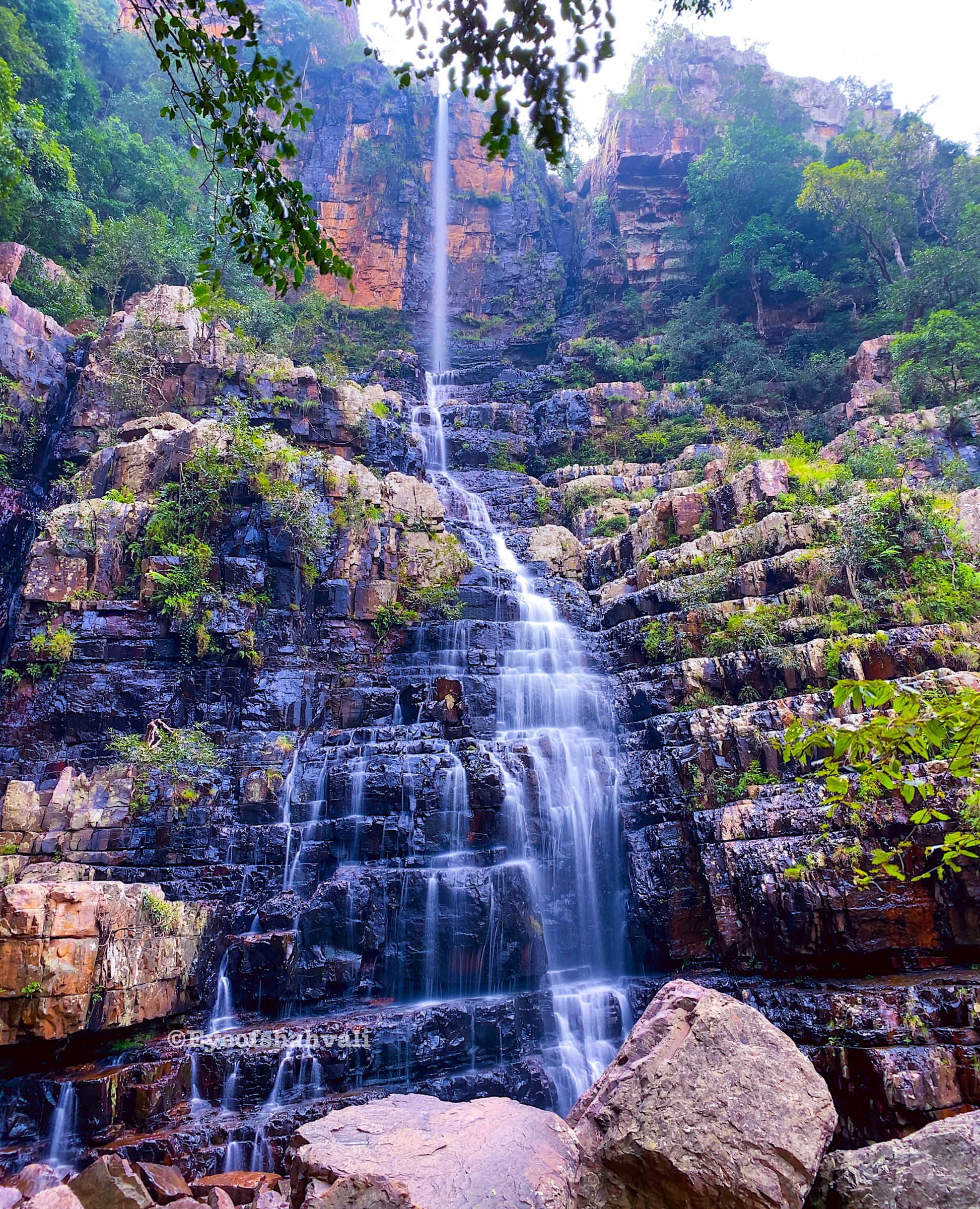
5. Asola Bhatti Wildlife Sanctuary Walking Trails
Snapshot
Itinerary
Use the official walking/birding trails in the eco-tourism zone, such as the named birding/nature trails, and keep to open visitor areas. Longer cycle/self-drive tracks exist but are not treated here as a hiking GPX.
Why it is essential
The northern terminal Aravalli experience: restored scrub forest, wildlife education, and urban ridge ecology inside Delhi.
Equipment
Comfortable shoes, water, sun protection, binoculars for birding.
Hazards and notes
Heat, restricted areas, wildlife, open quarry/lake hazards if wandering off official routes.
GPX / KML links
| Source | URL | Format / access | Reuse status |
|---|---|---|---|
| Asola Bhatti eco-tourism (official) | abwls.eforest.delhi.gov.in | Source page | Site terms apply; no GPX found |
| Wikimedia Commons — Asola-Bhatti Wildlife Sanctuary category | commons.wikimedia.org | Category | Image/file licences vary |
External links
External links
| Source | URL |
|---|---|
| Rajasthan Tourism — Mount Abu | tourism.rajasthan.gov.in |
| Rajasthan Tourism — Kumbhalgarh Fort | tourism.rajasthan.gov.in |
| Rajasthan Tourism — Jaipur | tourism.rajasthan.gov.in |
| Rajasthan Tourism — Alwar | tourism.rajasthan.gov.in |
| Incredible India — Bala Quila | incredibleindia.gov.in |
| Asola Bhatti Wildlife Sanctuary — eco-tourism (official) | abwls.eforest.delhi.gov.in |
| AllTrails — Kumbhalgarh Fort Trail | alltrails.com |
| AllTrails — Nahargarh Fort Trail | alltrails.com |