Research date: 2026-06-05.
Regional overview
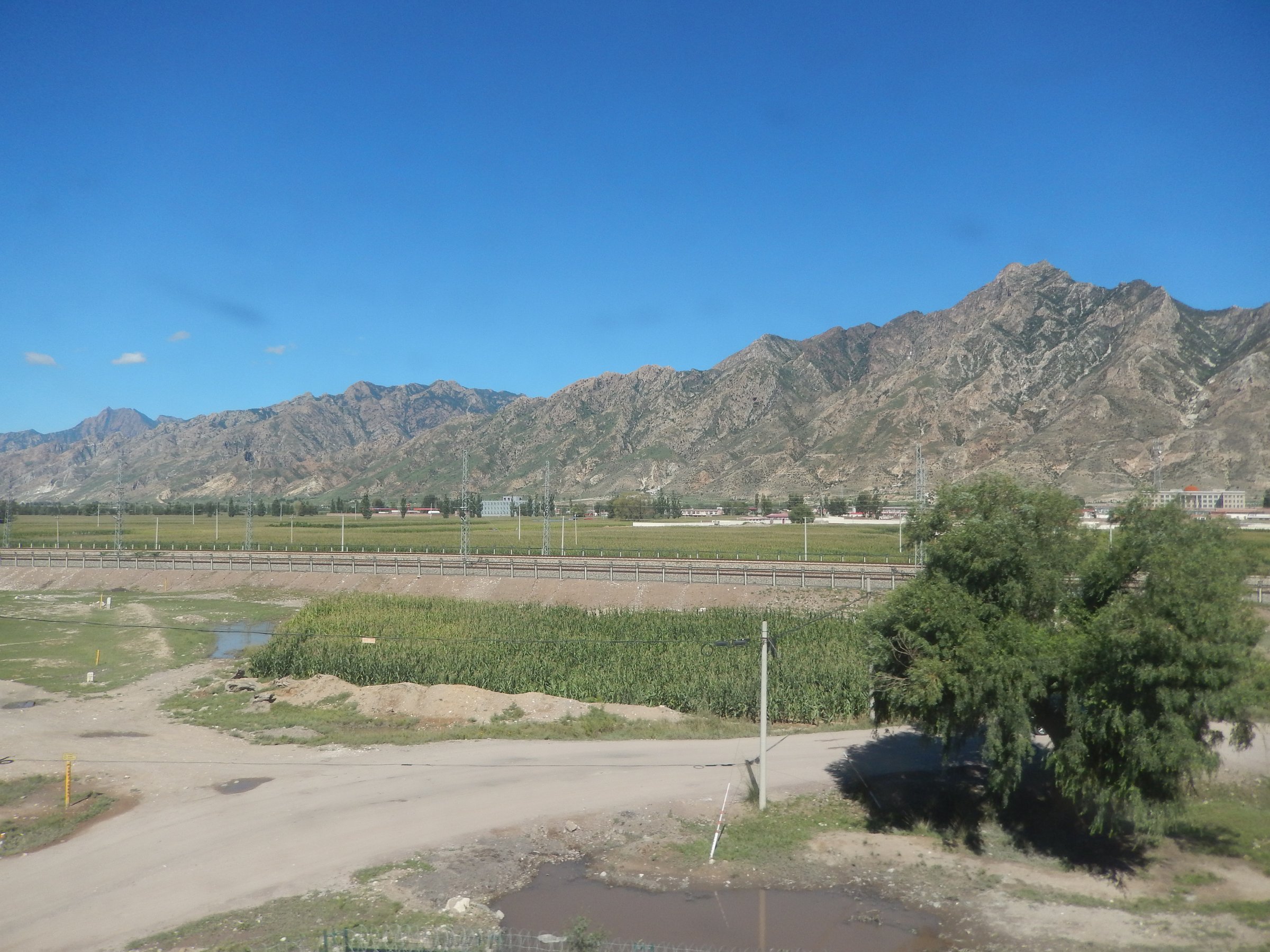
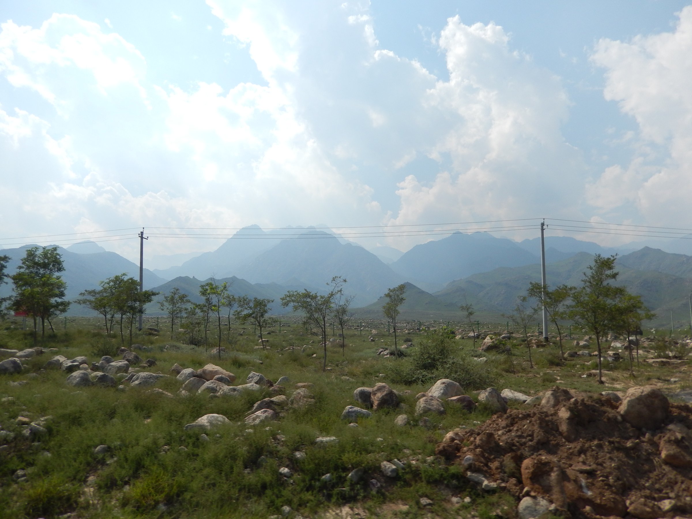
The Hohhot-Baotou section of the Yinshan system is dominated by the Daqing and Wula mountain fronts above the Tumet and Hetao plains. Hiking character is semi-arid mountain walking: gullies, ridge paths, planted and natural woodland pockets, reservoirs, and cultural foothill sites rather than high alpine terrain.
The best-documented walking infrastructure is the Daqing Mountain National Hiking/Fitness Trail near Hohhot, described by Chinese sources as a 100 km-scale national trail network in the Daqing Mountain Nature Reserve, with access around Xiaojinggou/Shuimo village. Around Baotou, Lianhua Mountain is a formal 4A scenic area on the Daqing Mountain front.
Season is mainly April to October. Heat, dry exposure, limited water, sudden storms and winter/early spring snow or ice are the main planning issues. Some routes cross or approach nature-reserve land; stay on marked public paths and current scenic-area routes.
Selection rationale
The selection favours the documented Daqing Mountain national trail, representative Hohhot gully/ridge routes with downloadable source tracks, and Baotou’s Lianhua Mountain for regional spread. Lianhua is essential as a formal Baotou mountain scenic area, but route statistics remain unresolved.
Summary
| # | Hike | Route type | Distance | Gain | Max elevation | Difficulty | GPX status | Photo status | Verification |
|---|---|---|---|---|---|---|---|---|---|
| 1 | Daqing Mountain National Hiking Trail — Shuimo/Xiaojinggou loop | Loop | Unresolved day loop; network c.100 km | Unresolved | Unresolved | Moderate | No official GPX found | Commons Daqing candidate, licence follow-up | Partially verified |
| 2 | Pingdingshan — Huangtugou loop | Loop | 14.6–15.5 km | 700 m net / 924 m cumulative | Unresolved | Moderate–hard | Wikiloc source track | Daqing candidate only | Partially verified |
| 3 | Kuisugou — Hutou Mountain — Waterfall loop | Loop | 25.3 km | 582 m | 1,512 m | Moderate–long | Wikiloc source track | No specific open image found | Partially verified |
| 4 | Dalaigou Valley route | Loop/valley route | 11.8 km | 690 m | Unresolved | Moderate | Wikiloc source track | No specific open image found | Candidate only |
| 5 | Lianhua Mountain, Baotou scenic-area walk | Loop/out-and-back | Unresolved | Unresolved | 1,545 m main peak | Easy–moderate | No route file found | No open image found | Candidate only |
Hike 1: Daqing Mountain National Hiking Trail — Shuimo/Xiaojinggou loop
Snapshot
Itinerary
The route uses the public Daqing Mountain hiking/fitness trail area around Xiaojinggou and Shuimo village, following constructed mountain paths through gullies, forested slopes and ridges on the Hohhot side of the Daqing Mountains. The exact recommended day loop needs a current park map or local signboard before publication.
Why it is essential
This is the clearest named hiking infrastructure in the Hohhot part of the Yinshan range and is repeatedly described by local and national Chinese sources as a flagship national hiking/fitness trail.
Equipment
Mountain hiking equipment: sturdy footwear, sun protection, water, warm/windproof layer, map/GPS, and headtorch if starting for sunrise.
Hazards and notes
Stay on marked reserve/scenic-area paths. Expect dry exposed ridges, limited water and strong wind. Winter and shoulder-season ice can affect shaded gullies.
Photos
| Image | Source | Author | Licence | Reuse notes | Attribution |
|---|---|---|---|---|---|
| Daqing Shan seen from Hohhot | commons.wikimedia.org | Commons/Panoramio contributor; exact author to confirm | Licence not extracted in this pass | Candidate only | Follow up on Commons file page |
GPX / route file
| Source | URL | Format | Licence / terms | Reuse status |
|---|---|---|---|---|
| Official route | Not found | — | — | Unresolved |
| Later manual route creation | Use current park map/signage and OSM where available | GPX to be created | New derived route | Recommended follow-up |
Hike 2: Pingdingshan — Huangtugou loop
Snapshot
Itinerary
The route climbs from the Huangtugou east slope to the Pingdingshan summit area and returns to Huangtugou, following a recorded hill loop in the Daqing Mountain area.
Why it is essential
It represents the steeper summit-style walking available near Hohhot, with a recorded route and substantial ascent.
Equipment
Mountain hiking equipment, trekking poles, extra water, navigation backup.
Hazards and notes
Crowd-sourced route only; confirm legality and current access locally. Dry gullies and indistinct side paths may complicate navigation.
Photos
Photo status: No licence-compatible route-specific image found in this pass. General Daqing Mountain Commons candidate listed under Hike 1.
GPX / route file
| Source | URL | Format | Licence / terms | Reuse status |
|---|---|---|---|---|
| Wikiloc — Pingdingshan Hiking Trail | wikiloc.com | Source track/download link | Wikiloc terms; not an official route | Route geometry source only; reuse terms unclear |
Hike 3: Kuisugou — Hutou Mountain — Waterfall loop
Snapshot
Itinerary
The recorded loop links Kuisugou, Hutou Mountain and a waterfall area, combining valley walking with a ridge or hill traverse before returning to the starting area.
Why it is essential
It is one of the longer recorded day routes in the Hohhot Daqing Mountain set and includes both mountain and waterfall features.
Equipment
Mountain hiking equipment, 2–3 litres water, poles, headtorch for delays.
Hazards and notes
At 25 km this is at the upper edge of the day-hike constraint. Treat as a fit-walker route. Check current access and avoid entering closed reserve zones.
Photos
Photo status: No licence-compatible image found in this pass.
GPX / route file
| Source | URL | Format | Licence / terms | Reuse status |
|---|---|---|---|---|
| Wikiloc — Kuisugou — Hutou Mountain — Waterfall | wikiloc.com | Source track/download link | Wikiloc terms; not official | Download appears available; reuse unclear |
Hike 4: Dalaigou Valley route
Snapshot
Itinerary
The route follows the Dalaigou valley area near Zhancun, using a recorded hiking track. Exact scenic points and official access status were not verified.
Why it is essential
It adds a shorter valley-based route to the Daqing Mountain set and helps avoid selecting only long ridge walks.
Equipment
Standard to mountain hiking equipment depending on weather.
Hazards and notes
Crowd-sourced source only; current access and route legality need field verification.
Photos
Photo status: No licence-compatible image found in this pass.
GPX / route file
| Source | URL | Format | Licence / terms | Reuse status |
|---|---|---|---|---|
| Wikiloc — Dalaigou Valley Hiking Route | wikiloc.com | Source track/download link | Wikiloc terms | Route geometry source only; reuse unclear |
Hike 5: Lianhua Mountain, Baotou scenic-area walk
Snapshot
Itinerary
The walk should use the official Lianhua Mountain scenic-area paths below and around the 1,545 m main peak, linking valley landforms, rock features and Guanghua Temple where open to visitors.
Why it is essential
Lianhua Mountain is one of the better documented Baotou mountain scenic areas and represents the Baotou end of the Hohhot-Baotou Yinshan front.
Equipment
Standard hiking equipment; sun protection and water are important.
Hazards and notes
Route distance and permitted walking line need current scenic-area confirmation.
Photos
Photo status: No licence-compatible image found in this pass. Official page photos are credited to Baotou Daily/baotou.gov.cn and should not be reused without explicit permission.
GPX / route file
| Source | URL | Format | Licence / terms | Reuse status |
|---|---|---|---|---|
| Official route | Not found | — | — | Unresolved |
Missing data / follow-up work
- Confirm current official scenic-area maps and permitted walking routes before publication.
- Replace crowd-sourced or commercial route evidence with official or OSM-derived geometry where available.
- Verify unresolved distance/elevation statistics from official maps, field GPS, or reputable route databases.
- Confirm individual photo licences on each Wikimedia Commons file page before reuse.
- Confirm seasonal closures, protected-area restrictions, shuttles, tickets, lifts, dog rules and local safety notices.
External links
| Source | URL |
|---|---|
| China Economic Net — Daqing Mountain National Hiking Trail report | ce.cn |
| Huyangnet — Daqing Mountain trail location/scale report | huyangnet.cn |
| People’s Daily Inner Mongolia — night-hike/access report | nm.people.com.cn |
| Daqing Mountain Nature Reserve administration | daqingshan.net.cn |
| Wikiloc — Hohhot hiking list | wikiloc.com |
| Wikiloc — Kuisugou / Hutou Mountain / Waterfall | wikiloc.com |
| China Daily government site — Lianhua Mountain | govt.chinadaily.com.cn |