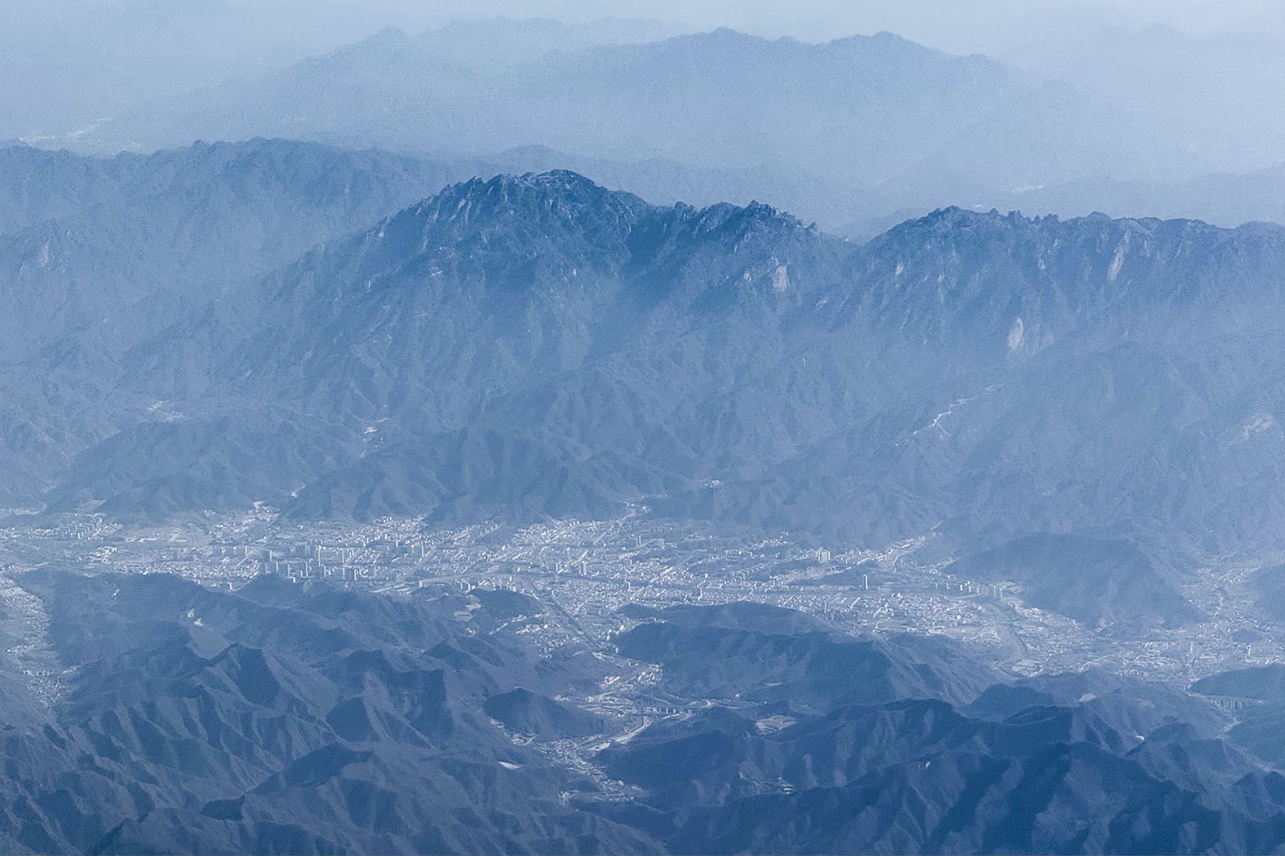
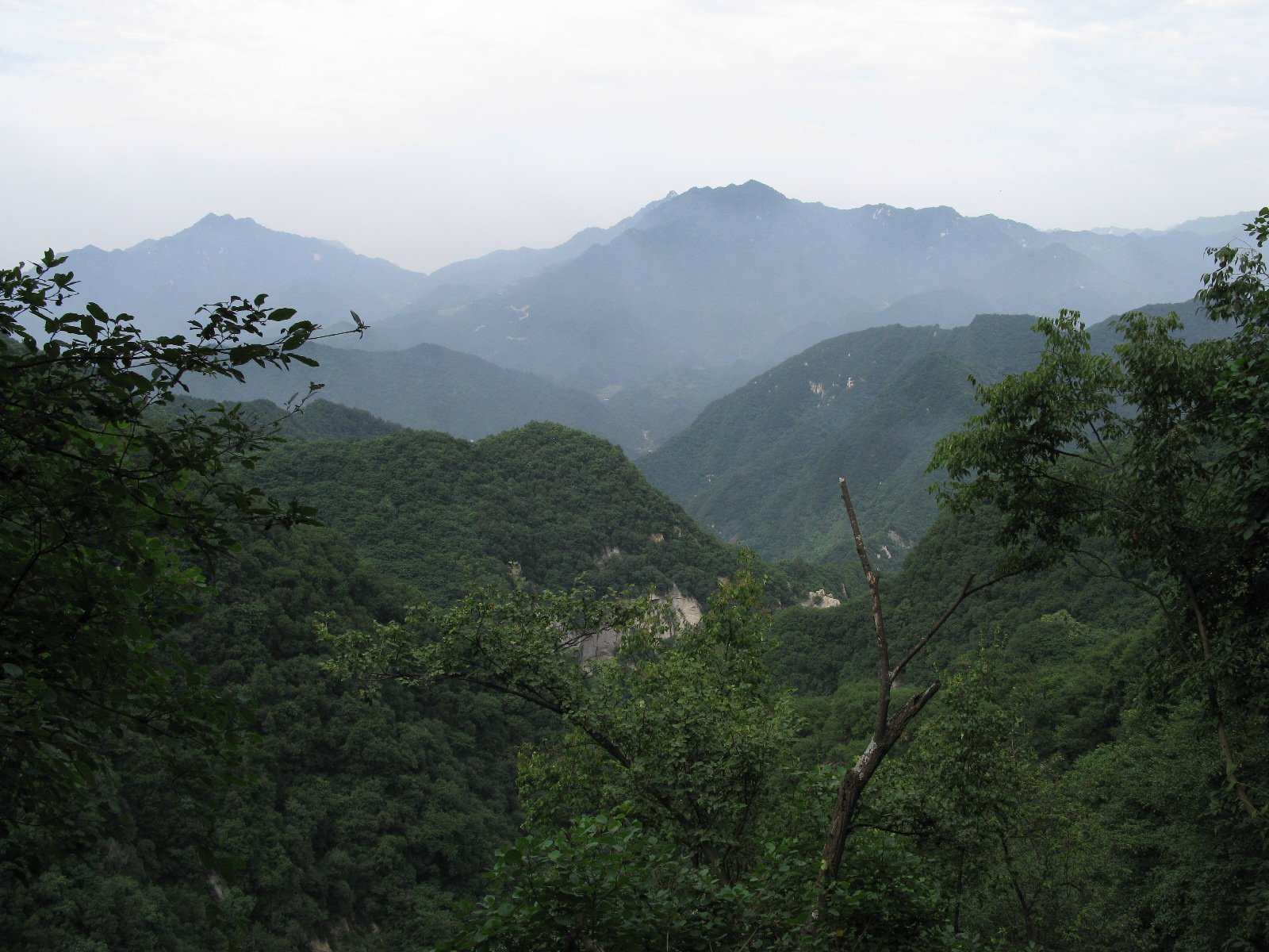
Regional overview
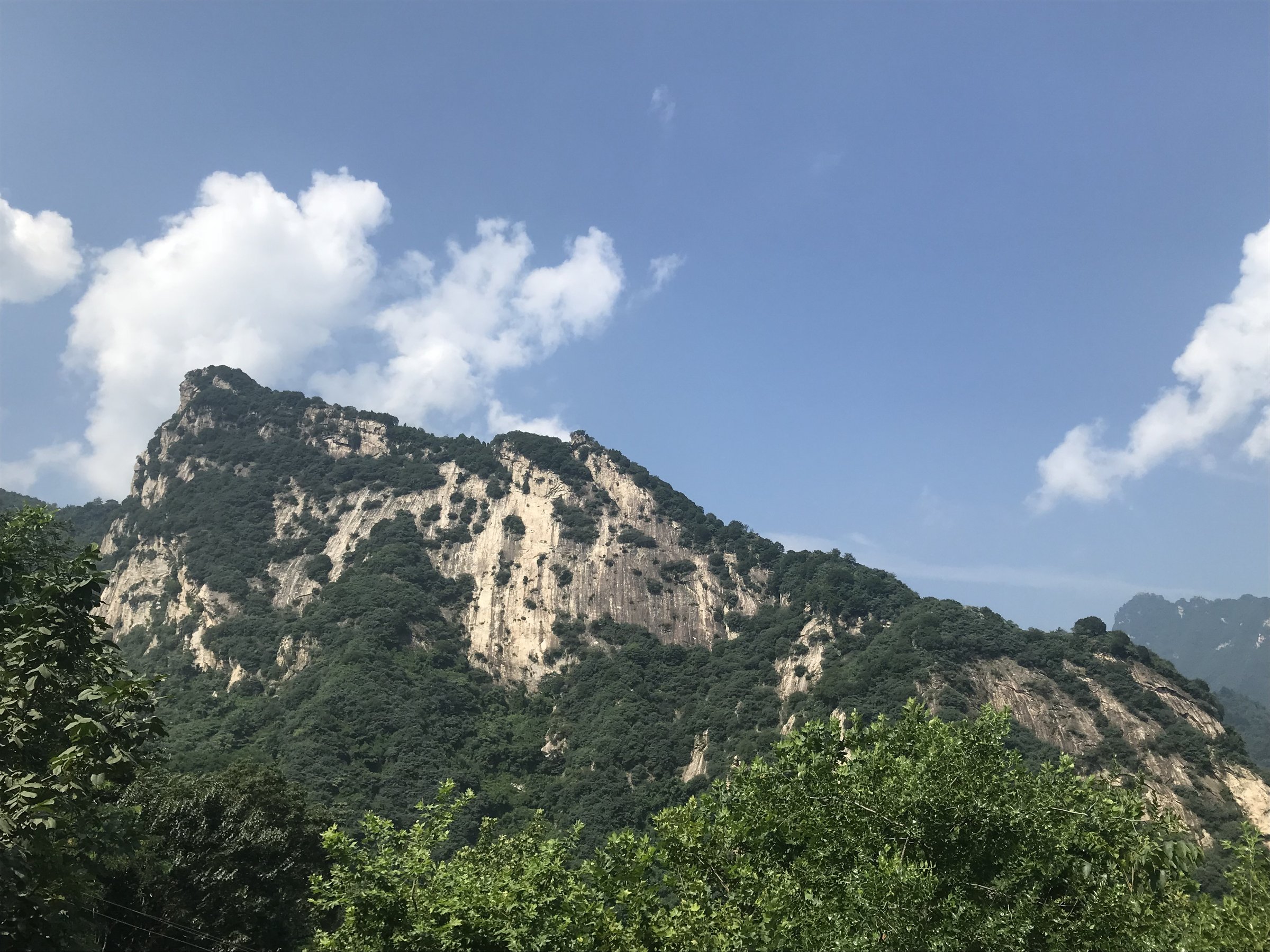
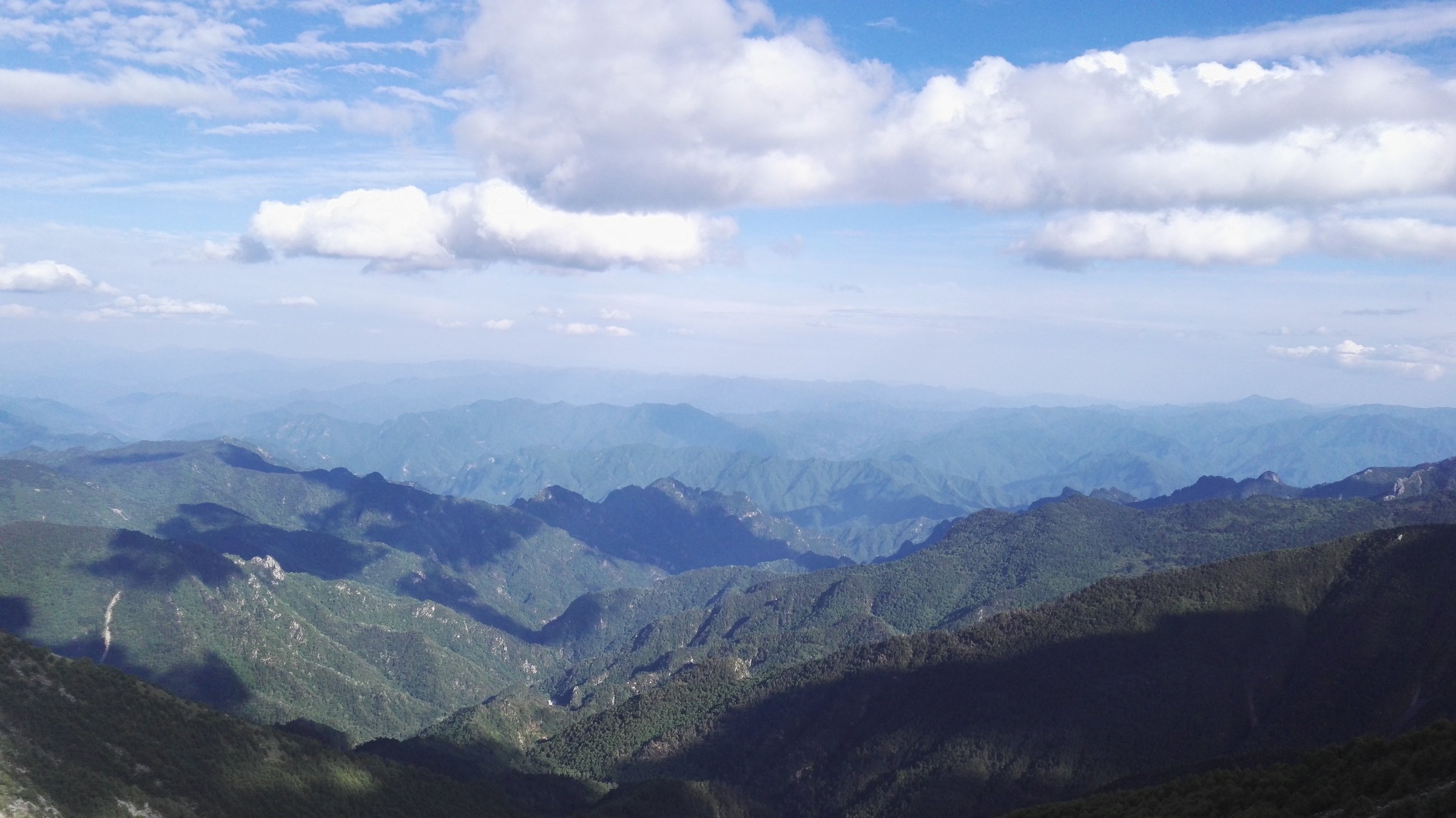
Taibai Shan is the high core of the Qinling Mountains and the highest mountain system in eastern mainland China. The region rises from warm low valleys through dense forest to cold subalpine ridges, stone seas, glacial relic landscapes and high tarns such as Daye Hai. It is also one of the biologically richest parts of the Qinling, associated with panda, golden monkey and takin habitat.
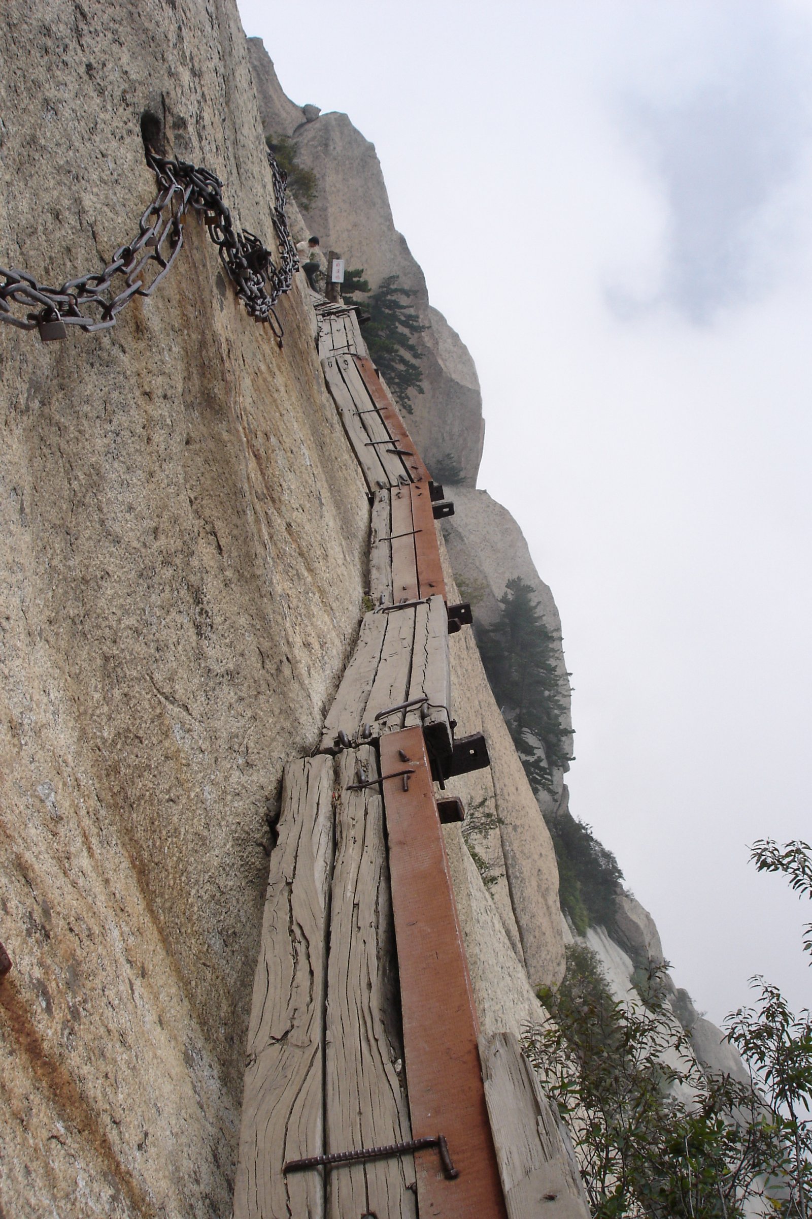
Walking here is split between regulated scenic-area access in Taibai Mountain National Forest Park and rougher, more restricted mountain routes around the wider Taibai/Ao Shan divide. The dangerous multi-day Ao-Tai traverse is excluded from this catalogue except as a safety warning; it is not a day hike and is widely reported as hazardous.
The main season for high routes is July-August, with shoulder-season trips possible only when snow and park access allow. Even in summer, the upper mountain can be cold, wet, windy and foggy.
Selection rationale
The five hikes below represent the central Qinling range without turning the entry into an illegal or technical traverse: the high Taibai summit approach, the managed alpine scenic route, Honghe Valley, Huangbaiyuan’s forest-and-water route, and a Heihe / Houzhenzi forest-valley walk.
Summary table
| # | Hike | Country | Route type | Distance | Gain | Max elevation | Difficulty |
|---|---|---|---|---|---|---|---|
| 1 | Tianyuan Difang to Daye Hai and Baxiantai | China | High out-and-back | Approx. 16-18 km return | 3,767.2 m | Very hard | |
| 2 | Taibai Mountain scenic route: Tangyukou, Xiabansi, Shangbansi and Tianyuan Difang | China | Shuttle/lift-assisted walk | Approx. 5-8 km walked | About 3,500 m scenic-area high point | Moderate-hard | |
| 3 | Honghe Valley forest and Shenxianling route | China | Forest-park out-and-back / loop | Approx. 5-8 km | Approx. 600 m+ on upper section | Hard | |
| 4 | Huangbaiyuan Dajiangou primeval forest loop | China | Shuttle-assisted valley loop | Approx. 3-5 km walked | Minor-moderate | Easy-moderate | |
| 5 | Heihe / Houzhenzi Qinling forest-valley walk | China | Valley out-and-back | Approx. 6-10 km selected walk | Moderate |
1. Tianyuan Difang to Daye Hai and Baxiantai

Snapshot
Itinerary
From the upper Taibai scenic-area zone, the route follows the high ridge and stone-sea terrain towards Daye Hai, then climbs the final rough section to Baxiantai, the highest point of the Qinling range. The same route is used for return unless a permitted hut/overnight itinerary is arranged.
Why it is essential
Baxiantai is the summit of Taibai Shan and the symbolic high point of the Qinling Mountains. The route reaches the region’s defining alpine landscape of stone seas, tarns and cold ridge terrain.
Equipment
Full mountain hiking equipment: sturdy boots, warm layers, waterproofs, gloves/hat, headtorch, food, water, poles, navigation backup and emergency layer. Microspikes or crampons may be needed if snow or ice remains.
Hazards and notes
This route is only suitable if scenic-area access and return transport timings make it legal and practical. Fog, cold rain, snow patches, altitude, stone fields and route-finding all increase risk. The Ao-Tai traverse is excluded and should not be substituted for this day hike.
GPX / KML links
| Source | URL | Format / access | Reuse status |
|---|---|---|---|
| OpenStreetMap search: Baxiantai Taibai | openstreetmap.org | Map/search | OSM data is ODbL; geometry cross-check only |
| Wikimedia Commons Data:Ao-Tai Trail.map | commons.wikimedia.org | Map data page | Commons structured data terms apply; safety context only, not a day-hike route recommendation |
External links
- TravelChinaGuide — Taibai Mountain National Forest Park
- Wikipedia — Mount Taibai
- Wikipedia — Aotai trail safety context
2. Taibai Mountain Scenic Route - Tangyukou, Xiabansi, Shangbansi and Tianyuan Difang
Snapshot
Itinerary
The managed scenic day uses the Taibai Mountain visitor system from Tangyukou, internal shuttle transport to Xiabansi, and ropeway or walking connections towards Shangbansi and Tianyuan Difang. Short walks visit forest, waterfalls, stone-sea viewpoints, sea-of-clouds viewpoints and high Qinling watershed scenery.
Why it is essential
This is the most accessible way to experience Taibai Shan’s vertical ecological sequence without committing to the long summit route.
Equipment
Mountain hiking equipment, warm layer, waterproofs, sun protection, food and water. Carry enough clothing for temperatures far below the lowland weather.
Hazards and notes
High elevation, sudden weather changes and limited operating hours shape the day. Confirm ropeway and shuttle operation before committing to upper routes.
GPX / KML links
| Source | URL | Format / access | Reuse status |
|---|---|---|---|
| OpenStreetMap search: Taibai Mountain National Forest Park | openstreetmap.org | Map/search | OSM data is ODbL; geometry cross-check only |
| Waymarked Trails hiking map: Taibai area | hiking.waymarkedtrails.org | OSM-derived map | OSM/Waymarked terms apply; source-map only |
External links
3. Honghe Valley Forest and Shenxianling Route
Snapshot
Itinerary
The day follows Honghe Valley’s forested gorge and upper paths towards Shenxianling viewpoints. It can be shortened by using scenic-area transport or cableway where available.
Why it is essential
Honghe Valley is the main lower-valley counterpart to Taibai Mountain National Forest Park, combining streams, forest and steep Qinling slopes below the high main peak.
Equipment
Sturdy shoes, trekking poles, water, rain shell, warm layer and insect/tick protection in warm months.
Hazards and notes
Route statistics are weakly sourced. Expect steep steps, wet paths and possible closure of routes connecting towards Taibai upper areas.
GPX / KML links
| Source | URL | Format / access | Reuse status |
|---|---|---|---|
| OpenStreetMap search: Honghe Valley Shaanxi Taibai | openstreetmap.org | Map/search | OSM data is ODbL; geometry cross-check only |
External links
- Chinese hiking account — Honghe Valley upper route
- TravelChinaGuide — Taibai Mountain regional access context
4. Huangbaiyuan Dajiangou Primeval Forest Loop
Snapshot
Itinerary
The Dajiangou route uses scenic transport to reach the primeval forest entrance, then follows a short forest and water route to the Songdaye area and a small return loop via historical memorial points. It is a gentler Qinling forest day rather than a summit hike.
Why it is essential
Huangbaiyuan represents the southern, wetter and more wildlife-rich side of the central Qinling, with forest, streams and protected-area context near giant-panda habitat.
Equipment
Standard hiking equipment, rain shell, grippy shoes, water and insect/tick protection.
Hazards and notes
Stay on open scenic paths because the area is adjacent to sensitive reserves. Wet boardwalks and autumn crowds are the main practical issues.
GPX / KML links
| Source | URL | Format / access | Reuse status |
|---|---|---|---|
| OpenStreetMap search: Huangbaiyuan Dajiangou | openstreetmap.org | Map/search | OSM data is ODbL; geometry cross-check only |
External links
5. Heihe / Houzhenzi Qinling Forest-Valley Walk
Snapshot
Itinerary
This entry reserves a day-hike slot for a lower central-Qinling forest-valley walk in the Heihe / Houzhenzi area, using open roads and marked scenic paths only. The route should be selected locally from current park information, avoiding reserve core zones and any unofficial high-ridge routes.
Why it is essential
The Heihe / Houzhenzi valleys are part of the central Qinling access network and provide a lower-elevation forest and river contrast to Taibai’s alpine ridge.
Equipment
Standard hiking equipment, rain shell, food, water, map/GPS and tick protection.
Hazards and notes
A publishable route line was not verified in this pass. Protected-area restrictions need local confirmation before using any side valley or ridge path.
GPX / KML links
| Source | URL | Format / access | Reuse status |
|---|---|---|---|
| OpenStreetMap search: Houzhenzi Qinling | openstreetmap.org | Map/search | OSM data is ODbL; geometry cross-check only |
External links
External links
| Source | URL |
|---|---|
| TravelChinaGuide — Taibai Mountain National Forest Park | travelchinaguide.com |
| Wikipedia — Mount Taibai | en.wikipedia.org |
| Wikipedia — Aotai Trail safety context | en.wikipedia.org |
| Chinese hiking account — Honghe Valley upper route | leitao.cn |
| Sohu — Huangbaiyuan Dajiangou route summary | sohu.com |
| Meipian — Dajiangou scenic context | meipian.cn |
| Waymarked Trails — Taibai area hiking map | hiking.waymarkedtrails.org |