
Regional overview
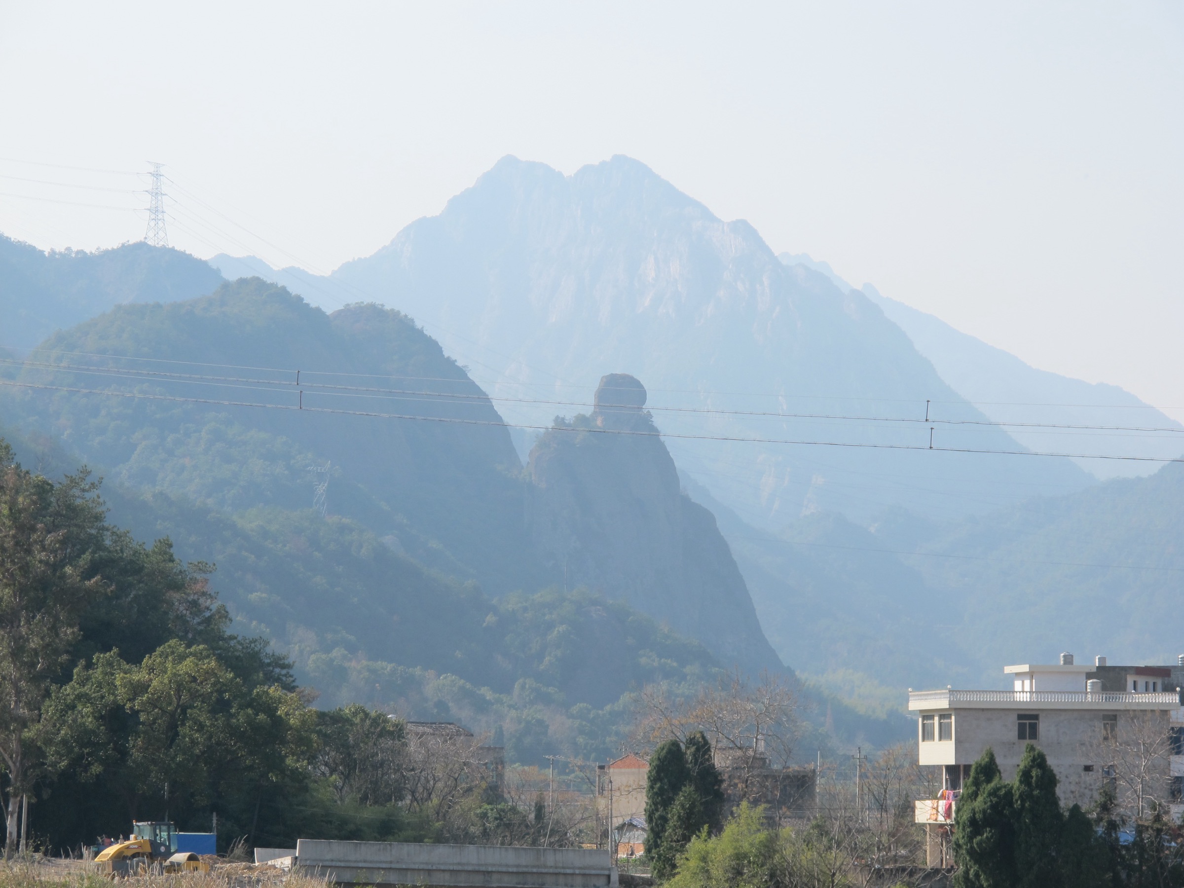
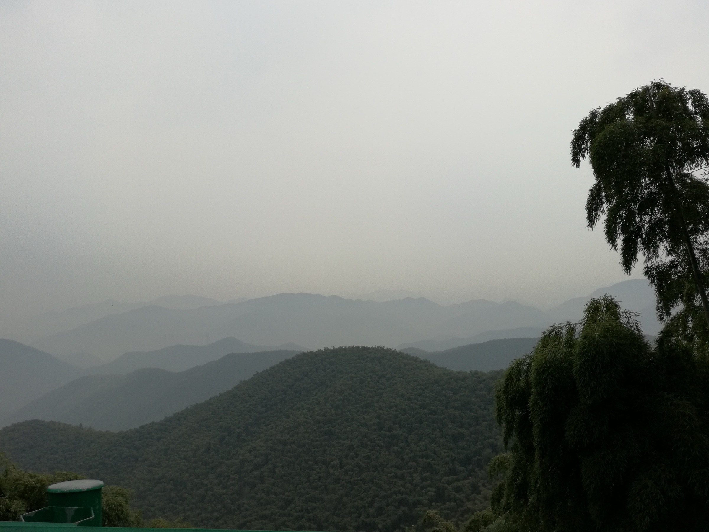
The Tianmu Mountains (天目山) are the western pillar of north-west Zhejiang, a broadleaf-forest range that rises from the Hangjiahu Plain to a summit ridge above 1,700 m and divides the Qiantang River basin from the Anhui Huizhou uplands. The range carries the highest peak in Zhejiang — Qingliangfeng (清凉峰, 1,787 m) on the Anhui border — together with the better-known twin sanctuaries of West Tianmu Shan (西天目山, 1,506 m) and East Tianmu Shan (东天目山, 1,480 m) in Lin’an District of Hangzhou. North across the Tiaoxi valley, the smaller Mount Mogan (莫干山, 758 m) in Deqing County is the historic hill station of the Yangtze delta, a bamboo-forested cluster of granite knolls covered in early-twentieth-century European villas. South along the watershed, the Huihang Ancient Road (徽杭古道) climbs the Yaolinguan pass between Lin’an and Jixi County (Anhui), the canonical Huizhou-merchant trade route that crosses the southern Tianmu ridge.
Walking in the Tianmu region is split between ticketed scenic areas (景区) inside national nature reserves and lower-priced county forest parks. West Tianmu Shan and East Tianmu Shan are both inside the Tianmu Mountain National Nature Reserve (天目山国家级自然保护区), established in 1956 and recognised as a UNESCO Biosphere Reserve in 1996; access is gated, ticketed and tightly managed. Mount Mogan is a 4A scenic area but the forest paths and villa lanes are largely open. The Huihang Ancient Road is a free-access cross-province trail with a small entry fee at the Linan trailhead. Forest cover is dense subtropical-evergreen with significant old-growth Chinese fir (Cunninghamia lanceolata) and several individual trees on West Tianmu over 1,000 years old.
The walking season runs April to mid-November. April–May is rhododendron and azalea (杜鹃) season on the high ridges, with cool morning mist that lifts by mid-morning; July–August is hot (25–32 °C at altitude), humid and crowded with weekend visitors from Shanghai and Hangzhou; late October to mid-November is the autumn-colour peak across the broadleaf forest. December through February brings cold temperatures, occasional snow above 1,400 m, and partial closures on the Qingliangfeng reserve trails, but Mogan and the lower West Tianmu loop stay open year-round.
Access is excellent. Hangzhou East (杭州东) on the Shanghai–Hangzhou and Shanghai–Hangzhou–Ningbo HSR lines is 50–90 minutes by intercity bus from the Lin’an trailheads; the Hangzhou–Lin’an metro extension (Hangzhou Metro Line 16) terminates at Lin’an itself, opening up West Tianmu Shan and Qingliangfeng to a one-train day. Deqing (德清) and Moganshan (莫干山) stations on the Hangzhou–Huangshan HSR (Hanghuang) line serve Mount Mogan in under 30 minutes from Hangzhou East. Jixi North (绩溪北) on the Hanghuang line is the Anhui-side trailhead for the Huihang Ancient Road. Mountain trailheads sit 10–60 km from each rail head, served by combinations of intercity bus, county tourist shuttle and taxi.
For neighbouring sub-regions on the same eastern-China watershed, see Huangshan, Anhui (the granite peaks west of the Tianmu watershed) and Yandang Shan, southern Zhejiang (the coastal volcanic ranges to the south); both pages may not yet be published.
Selection rationale
Five day-hikes are presented, spanning the geographic range of the Tianmu region from the Lin’an reserve heartland to Mogan in the north-east and the Anhui border in the south-west. The selection balances the canonical twin sanctuaries (West and East Tianmu Shan) with the highest summit (Qingliangfeng), the historic hill station (Mogan), and one cross-province cultural traverse (Huihang Ancient Road) that gives context for the Huizhou–Hangzhou trade history that shaped the regional economy.
The two Tianmu sanctuaries are listed separately rather than as a single combined entry because they are managed as distinct scenic areas with separate trailheads, separate tickets and separate forest characters — West Tianmu is the old-growth fir cathedral; East Tianmu is the temple-and-pavilion ridge. Lower ranges along the Qiantang valley (Linglong Mountain, Mount Prince) are out of scope as shorter half-day options; Lake Taihu shore paths are excluded as plains rather than mountain walking; multi-day sections of the Qingliangfeng reserve traverse are excluded as overnight tramps rather than day-hikes.
Summary
| # | Hike | County | Route type | Distance | Gain | Max elevation | Difficulty |
|---|---|---|---|---|---|---|---|
| 1 | West Tianmu Shan — Old-Tree Forest and Xianren Peak | Lin’an (Hangzhou) | Lift-assisted loop | 7–10 km | 400–600 m | 1,506 m | Moderate |
| 2 | East Tianmu Shan — Zhaoming Temple ridge | Lin’an (Hangzhou) | Out-and-back / partial loop | 6–9 km | 500–700 m | 1,480 m | Moderate to hard |
| 3 | Mount Mogan extended loop — Bamboo Sea and Sword-Pool | Deqing (Huzhou) | Loop | 10–14 km | 400–600 m | ~758 m | Easy to moderate |
| 4 | Qingliangfeng summit trail | Lin’an (Hangzhou) | Out-and-back | 12–18 km | 800–1,100 m | 1,787 m | Hard |
| 5 | Huihang Ancient Road — Yaolinguan pass | Lin’an (Hangzhou) to Jixi (Xuancheng) | Point-to-point | 15–20 km | 400–700 m | ~1,100 m | Moderate to hard |
1. West Tianmu Shan — Old-Tree Forest and Xianren Peak

Snapshot
Itinerary
From the Chanyuan Temple (禅源寺) gate at ~400 m, the in-park sightseeing bus climbs the switchback to Kaishan Laodian (开山老殿) at ~1,100 m, the historic mountain-pavilion station that anchors the West Tianmu walking circuit. From the upper stop the stone-step trail enters the Old-Tree Forest (大树王公园) — a protected stand of old-growth Chinese fir and Cryptomeria that contains several individual trees over 1,000 years old, including the named Da Shu Wang (大树王, “King Tree”). The trail climbs north-west through the forest to the Xianren Peak (仙人顶, 1,506 m) summit platform — the West Tianmu high point, with a telecoms relay tower and a stone marker. From the summit the loop descends east past the Stone Forest (石林), the Five-Generation Tree (五世同堂) and the Si Mian Peak (四面峰) observation rock back to Kaishan Laodian; from there the foot trail descends through the lower forest to Chanyuan Temple, or the sightseeing bus retraces the climb.
Why it is essential
West Tianmu Shan is the most accessible old-growth temperate-forest day on the eastern China seaboard. The reserve protects one of the few surviving stands of pre-Ming Chinese fir in subtropical China, with named individual trees that have been catalogued as cultural-heritage monuments. The summit is modest in elevation but the forest character — closed-canopy multi-storey broadleaf-evergreen, mixed with conifer giants — is exceptional for the densely populated lower Yangtze. The circuit is short enough for a day-trip from Hangzhou and substantial enough to feel like a proper mountain.
Equipment
- Light hiking shoes for stone steps
- Wind shell at the summit (10–12 °C cooler than the gate)
- 1.5 L water (limited resupply above Kaishan Laodian)
- Sun protection
- Cash for entry ticket and sightseeing-bus fare (separate)
- Insect repellent in summer
Hazards and notes
- Stone steps are slippery after rain; take care on the descent.
- Forest cover is so dense that GPS reception is patchy — printed map is useful.
- Scenic-area opening hours typically 07:00–17:00 (16:00 in low season).
- Weekend and national-holiday queues at Kaishan Laodian can exceed an hour.
- Reserve patrols enforce strict “no off-trail” rules; do not approach named heritage trees.
2. East Tianmu Shan — Zhaoming Temple ridge
Snapshot
Itinerary
From the Tang Family Village (唐家村) gate at ~750 m, the stone-step trail climbs steeply through dense broadleaf forest, past the Zhaoming Reading Pavilion (昭明分经台) — a small Buddhist site associated with Crown Prince Zhaoming of the Liang dynasty — and on to the Zhaoming Temple (昭明寺) at ~1,200 m. From the temple, the summit ridge trail follows the crest north to Dadingfeng (大顶峰) at 1,480 m, with views back across the deep valley to West Tianmu Shan. A small loop returns past the Sea of Clouds platform (云海台) and the Sleeping Cow Pavilion (卧牛亭) before descending the same trail back to the gate; the Daxiagu cable car (大峡谷索道) provides a partial assist on the lower half if open.
Why it is essential
East Tianmu Shan is the temple-and-pavilion counterpart to West Tianmu’s old-growth forest. The route is steeper, more demanding underfoot and substantially quieter than the West Tianmu circuit — the East side handles a fraction of the visitor numbers and the summit ridge can be near-empty on weekdays even in shoulder season. The Zhaoming Temple is one of the oldest Buddhist sites in the Tianmu reserve, and the cliff-edge pavilions on the summit ridge give the canonical Tianmu views back across the central valley.
Equipment
- Sturdy hiking shoes for the steep stone-step climb
- Trekking poles for the descent
- Wind shell on the exposed summit ridge
- 2 L water (resupply only at Zhaoming Temple)
- Headlamp for shorter winter days
- Sun protection
Hazards and notes
- Mid-route stone steps are exceptionally steep (gradients to 35°); knees take more punishment than on West Tianmu.
- Cable-car service is seasonal and not always reliable; confirm operating status at the gate.
- Mobile coverage is patchy on the ridge; carry an offline map.
- Forest is dense enough that summer thunderstorms can break overhead before they are visible — descend immediately if thunder is heard.
- Scenic-area opening hours typically 08:00–16:30.
3. Mount Mogan extended loop — Bamboo Sea and Sword-Pool
Snapshot
Itinerary
From the Yinshankou (荫山街) bus terminus and old hotel village at ~650 m, the route climbs the lane network through the historic villa district — over 250 colonial-era European villas, built between 1898 and 1937 as the summer retreat for Shanghai’s foreign business community and later the holiday compound of senior CPC cadres. The lane walk passes the Chiang Kai-shek and Madame Chiang Villa (蒋介石别墅 / Mao Mansion) and the Sword-Pool (剑池, Jianchi) — the pool where the legendary swordsmiths Mo Ye and Gan Jiang are said to have forged the eponymous Mogan sword. From Sword-Pool the trail climbs west through the Bamboo Sea (竹海) — dense moso bamboo on the upper slopes that gives Mogan its visual signature — to the Tashan Peak (塔山, 758 m) summit. The return follows the summit ridge north past the Sunset Pavilion (落日亭) and the Wuling Bamboo Garden (武陵竹海), descending the cobbled bridle path back to Yinshankou.
Why it is essential
Mount Mogan is the historic hill station of the Yangtze delta and the most-photographed boutique-tourism destination in eastern China outside the major scenic areas. The villa district is a unique survival of the colonial-era summer-retreat building stock; the Bamboo Sea is one of the largest accessible moso bamboo groves in the lower Yangtze; the Sword-Pool carries the foundational legend of Chinese sword-making and is one of the oldest continuously visited cultural sites in Zhejiang. The walking is gentle, the elevation low, and the access trivial — but the cumulative cultural density of a Mogan circuit is unmatched in the Tianmu region.
Equipment
- Light walking shoes (lanes and stone steps, not rough trail)
- Sun protection
- Rain shell (Mogan’s reputation for cool summer fog is well-earned)
- Water bottle (cafes and refill stations through the villa district)
- Cash or mobile-payment for entrance ticket
- Light layer for the summit ridge
Hazards and notes
- The scenic-area entrance fee is mandatory and includes the villa-district lanes; do not attempt to bypass on the main routes.
- Many lanes are residential; respect signage at private villas.
- Summer weekend traffic on the access road is heavy; the Moganshan HSR + shuttle option avoids it.
- Bamboo Sea trails are unsigned in places; the published scenic-area map is the simplest navigation aid.
- Macaques are present on the upper ridge; do not feed and keep food secure.
4. Qingliangfeng summit trail
Snapshot
Itinerary
From the Longtangshan management station at ~700 m, the route follows a forest road north-west through the lower Qingliangfeng reserve buffer zone, past the Stone Long-Town (石长城) cliff line and the upper reserve gate. From the gate a marked but rough trail climbs through dense broadleaf-evergreen forest to a sub-ridge at ~1,400 m, then follows the open ridge crest west-north-west to the Qingliangfeng summit (1,787 m) — the highest point in Zhejiang province, marked by a stone trig column and a reserve plaque. The summit sits on the Zhejiang–Anhui border; the north face drops into Jixi County. Return is the same line; the alternative descent down the Anhui side requires a separate permit and pre-arranged transport.
Why it is essential
Qingliangfeng is the highest summit in Zhejiang — taller than Huangmao Jian (1,575 m) and any peak inside the better-known Tianmu reserve — and the only Tianmu-region day-hike that crosses the 1,700 m line. The Qingliangfeng National Nature Reserve protects one of the last unbroken broadleaf-evergreen ecosystems in the lower Yangtze, including critical habitat for the Forest Musk Deer (Moschus berezovskii) and several endemic plant taxa. The hike is the only Zhejiang summit that gives a true mid-mountain forest day rather than a stone-step scenic-area circuit, and the only one that crosses formally into Anhui at the summit cairn.
Equipment
- Sturdy boots; the upper trail is rocky and unmade
- Long trousers and long sleeves (ticks and brush above ~1,200 m)
- Insect repellent
- 3 L water (no resupply above the management station)
- Navigation (offline OSM track and compass); signage is in Chinese only and partial
- Headlamp; the descent is long and may run late
- Personal Locator Beacon recommended
- Permit paperwork from the Lin’an reserve office (printed copy)
Hazards and notes
- Navigation is the principal hazard; the upper ridge has multiple braided paths and reserve workers’ tracks.
- Reserve patrols enforce permit checks and may turn back unprepared visitors at the upper gate.
- Mobile coverage is intermittent above the management station and absent on the summit ridge.
- Wildlife — snakes, ticks, occasional macaques and (rarely) musk deer — is more present than on the Tianmu Shan scenic areas.
- Late-summer thunderstorms develop quickly on the ridge; descend immediately at first thunder.
- Reserve gate hours typically 07:30–17:00; late starts make the round trip unviable.
5. Huihang Ancient Road — Yaolinguan pass
Snapshot
Itinerary
From Yongli village at ~300 m, the route follows the cobbled trade road through the Lan-Bay-Gully (蓝家湾) stream valley, climbing steadily on stone-paved Ming-era pavement past restored way-stations and the Old Pavilion of the Salt-Carriers (盐担亭). The trail traverses the side-valley to the Yaolinguan pass (~1,100 m) — the high point of the crossing and the historic Anhui–Zhejiang customs gate. From the pass the route descends into Jixi County through the Jiangnan First Pass (江南第一关) — a stone-cut gate-tunnel built into the cliff line — and continues down the Anhui side to Yueli village and the Jixi end of the trail. The descent is gentler than the Zhejiang-side climb.
Why it is essential
The Huihang Ancient Road is the canonical Huizhou-merchant trade route between Anhui’s Huizhou prefecture (the historic source of the Huizhou-school commercial elite that dominated lower-Yangtze finance from the Ming to the late Qing) and Hangzhou (the regional capital and market). The trail is one of the best-preserved long-distance cobbled trade roads in China, with substantial intact stone pavement, restored way-stations and the Ming-Qing-era Jiangnan First Pass gate-tunnel. As a hike, the crossing of the southern Tianmu watershed gives the Tianmu region its most coherent multi-province ridge day — and the only one in the region that historically carried tea, salt and silver across the range as a working trade route.
Equipment
- Sturdy hiking shoes for the cobbled paving (uneven and worn smooth in places)
- Trekking poles for the descent
- Wind shell at the pass
- 2.5 L water; resupply at Yongli, the pass way-station and Yueli only
- Sun protection
- Cash for trailhead entry, way-station snacks and end-of-day taxi
- Microspikes if walking November–March
Hazards and notes
- Cobbled pavement is slick after rain; the descent to Yueli is the main injury vector.
- Direction matters: starting from the Zhejiang side gives a steeper climb but a gentler descent; starting from the Anhui side reverses both.
- Mobile coverage is patchy in the pass valley.
- Late-day weather changes quickly at the pass; do not start the climb after midday in shoulder season.
- Trailhead access on both ends is rural; pre-arranged transport is strongly recommended over speculative bus connections.
Routes excluded as out of scope
The following sit inside or adjacent to the Tianmu Shan region but fall outside a day-hike entry, or duplicate routes covered on neighbouring sub-region pages.
- Huangshan (黄山), Anhui. The granite range immediately west of the Tianmu watershed; covered separately on the Huangshan, Anhui essential day-hikes page rather than here.
- Tianmu Lake (天目湖), Liyang. Reservoir-and-shoreline tourism rather than mountain walking; outside the Tianmu Shan range proper.
- Linglong Mountain (灵龙山) and Mount Prince (太子山), Lin’an. Short half-day hills inside Lin’an District proper; better suited to a city-day rather than a flagship essential day-hike.
- Anji Bamboo Sea Grand Canyon. A 4A ticketed sightseeing-walk rather than a mountain hike; included here as context but not as a route.
- Multi-day sections of the Qingliangfeng reserve traverse. The full west–east Qingliangfeng traverse is an overnight tramp inside protected areas, not a day-hike.
Further reading
| Source | URL |
|---|---|
| Zhejiang Provincial Department of Culture, Radio, Television and Tourism | ct.zj.gov.cn |
| Tianmu Mountain National Nature Reserve — official | tianmushan.com.cn |
| Mogan Mountain scenic area — official | moganshan.com.cn |
| Lin’an District government — tourism portal | linan.gov.cn |
| Deqing County government — tourism portal | deqing.gov.cn |
| Jixi County government — Anhui side of the Huihang Road | jixi.gov.cn |
| Wikipedia — Tianmu Mountains | en.wikipedia.org |
| Wikipedia — Mogan Mountain | en.wikipedia.org |
| Wikipedia — Qingliangfeng | en.wikipedia.org |
| Baidu Baike — West Tianmu Shan (西天目山) | baike.baidu.com |
| Baidu Baike — East Tianmu Shan (东天目山) | baike.baidu.com |
| Baidu Baike — Qingliangfeng (清凉峰) | baike.baidu.com |
| Baidu Baike — Huihang Ancient Road (徽杭古道) | baike.baidu.com |
| UNESCO Man and the Biosphere — Tianmushan Biosphere Reserve | unesco.org |
| OpenStreetMap (ODbL 1.0) | openstreetmap.org |