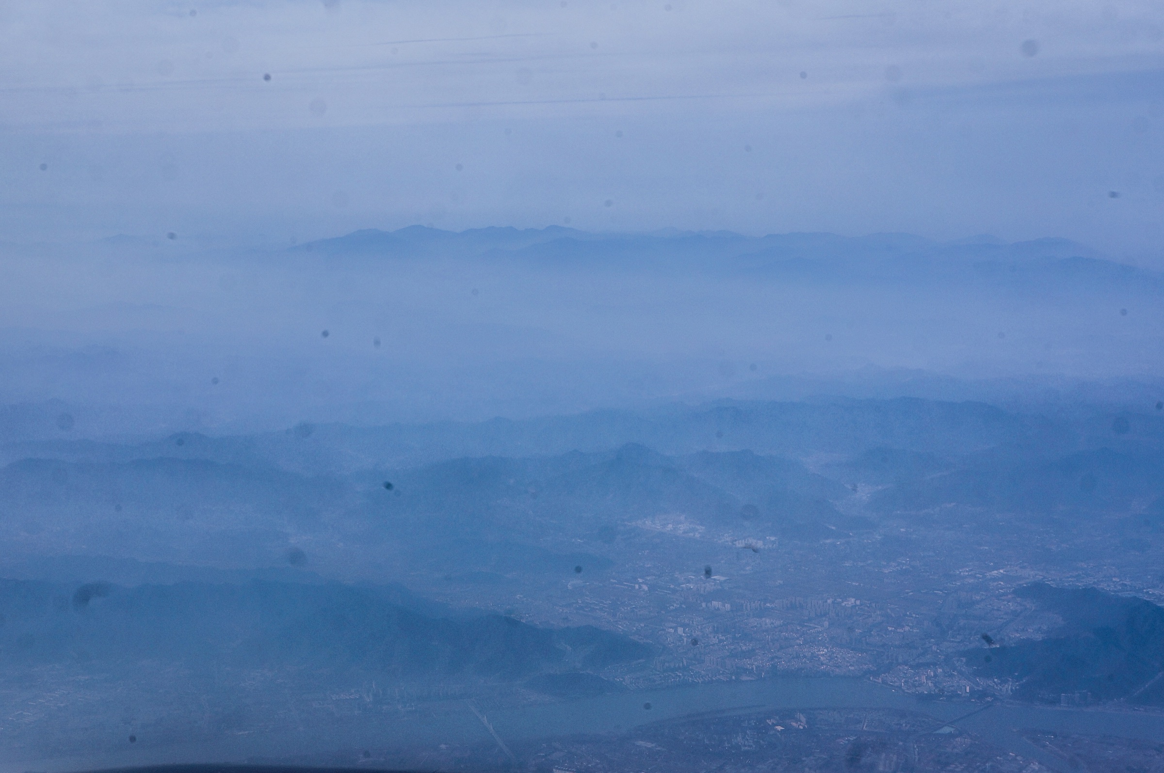
Regional overview
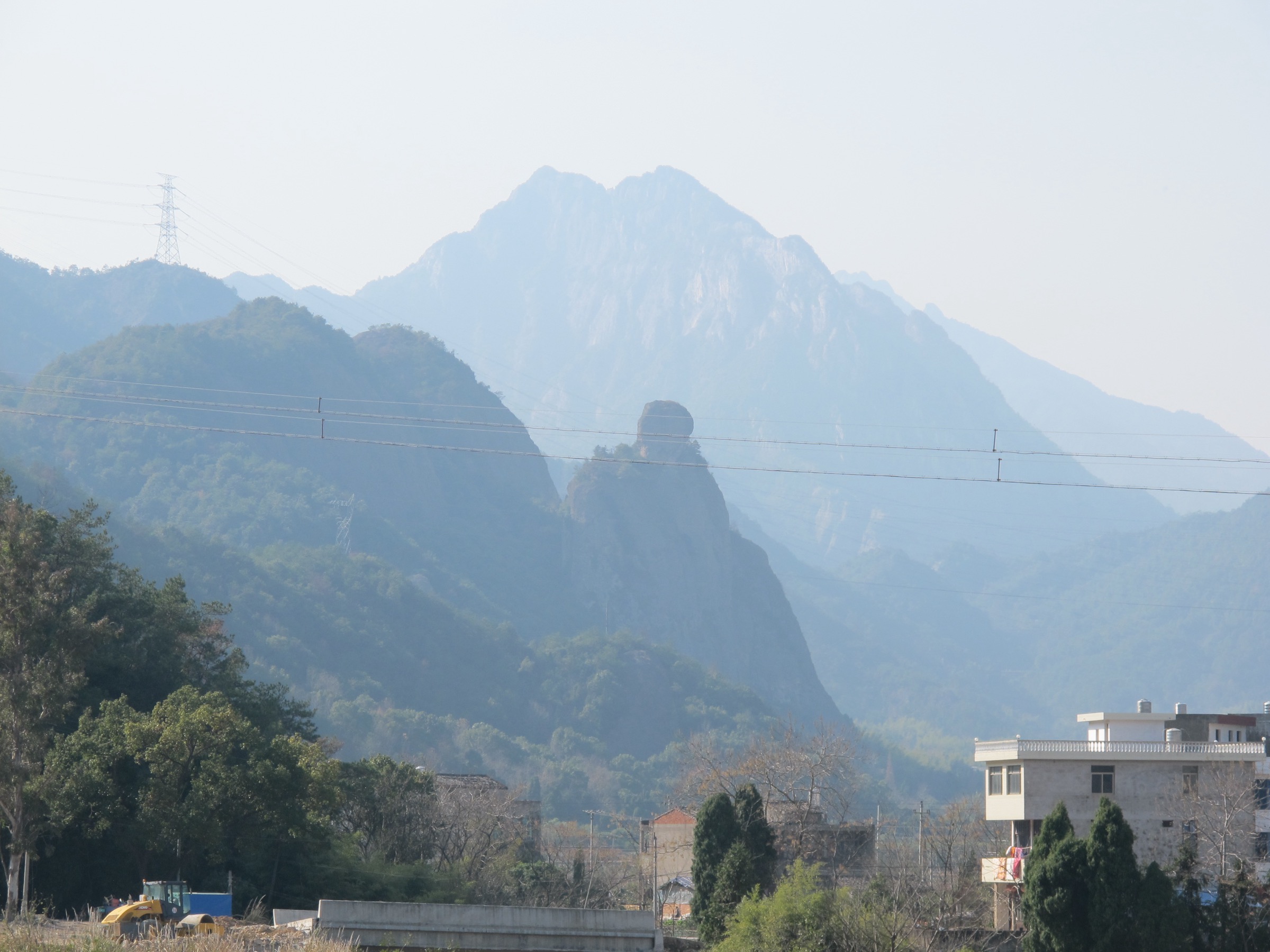
Jiuhua Shan (九华山) is a compact Buddhist mountain in Chizhou, Anhui — one of China’s four great Buddhist mountains and the cult centre of the bodhisattva Ksitigarbha (Dizang). The scenic area covers a planned 120 km², a protected 174 km² and eleven scenic zones, combining temple paths, stone stairways, pilgrimage peaks, forested ridges, bamboo valleys and managed scenic precincts.
The walking character is pilgrimage hiking rather than wilderness trekking: temple-to-temple stair ascents, short ridge loops, cableway-shortened summit walks and valley routes through bamboo, monasteries and villages. Public walking data is thinner than for Huangshan; only one usable AllTrails route was found, so several route statistics below are approximate or unresolved. For neighbouring sub-regions on the same eastern-China watershed, see Sanqing Shan, Jiangxi, Tianmu Shan, Zhejiang and Yandang Shan, Zhejiang.
Selection rationale
The five hikes cover Jiuhua Shan’s essential walking spectrum: the Tiantai high pilgrimage route, the Huatai scenic ridge and flower-view area, the Jiuhua Street–Baisui Palace temple-view loop, the Minyuan bamboo-valley walk, and the Dayuan Cultural Park circuit at the mountain foot. They are drawn from the official scenic-zone pages and pilgrimage landmarks rather than from route-file convenience.
Summary table
| # | Hike | Route type | Distance | Gain | Max elevation | Difficulty |
|---|---|---|---|---|---|---|
| 1 | Minyuan / Phoenix Pine to Tiantai Temple and Tiantai Peak | Out-and-back / loop | 5.6 km (AllTrails source) | 647 m (AllTrails) | 1,306 m (Tiantai Peak) | Hard |
| 2 | Huatai Scenic Area ridge and flower-view loop | Loop / out-and-back | ~4–8 km | Unresolved | Unresolved | Moderate–hard |
| 3 | Jiuhua Street to Baisui Palace and Dongya ridge loop | Loop / out-and-back | ~3–5 km | ~300–500 m | Unresolved | Moderate |
| 4 | Minyuan Bamboo Sea, Phoenix Pine and Huiju Temple valley walk | Valley out-and-back / point-to-point | ~4–7 km | ~200–500 m | ~600 m in valley | Moderate |
| 5 | Dayuan Cultural Park and Ksitigarbha statue circuit | Cultural park circuit | ~2–4 km | Low | Unresolved | Easy–moderate |
1. Minyuan / Phoenix Pine to Tiantai Temple and Tiantai Peak

Snapshot
Itinerary
From the Minyuan / Phoenix Pine area, climb the traditional high pilgrimage route past Baitai / Biejingtai to Tiantai Temple and the summit area. The official Tiantai page identifies the zone as Jiuhua’s traditional high-mountain core, lists Shiwang Peak, Tiantai Peak, One-Line-Sky, Ancient Baitai and Tiantai Temple as main sights, and offers a 10-minute Phoenix Pine–Tiantai cableway or a ~4-hour stair walk.
Why it is essential
This is Jiuhua Shan’s defining ascent: the high temple route that pilgrims traditionally regard as indispensable, with the mountain’s strongest combination of summit landscape and Buddhist architecture.
Equipment, hazards and notes
Hiking shoes, water, food, rain layer, warm layer in winter, poles useful on stairs. Expect a long stone-stair ascent, slippery surfaces, fog, crowding at viewpoints and fatigue on the descent. Cableway opening hours and weather closures can shape the safe window for completion.
GPX / route file
| Source | URL | Format | Reuse status |
|---|---|---|---|
| AllTrails — Mount Jiuhua | alltrails.com | Source map | Reference only |
| OpenStreetMap — search “Tiantai Jiuhua Shan” | openstreetmap.org | OSM | Cross-check only |
| Jiuhua Shan official — Tiantai page | jiuhuashan.gov.cn | Description | Route facts only |
External links
2. Huatai Scenic Area ridge and flower-view loop

Snapshot
Itinerary
Walk Huatai’s ridge and viewpoint paths among unusual peaks, rock forms, cloud seas, rime and seasonal flower slopes. The official Jiuhua page describes Huatai as one of the mountain’s core scenic areas — about 10 km², part of the national forest and geopark — and singles out its “sleeping Buddha” landform.
Why it is essential
Huatai is the natural-scenery counterweight to Jiuhua’s temple routes: ridges, rock forms, flowers and cloud seas, with less emphasis on pilgrimage architecture.
Equipment, hazards and notes
Hiking shoes, water, rain layer, sun protection, warm layer outside summer. Expect stone steps, wet rock, cliff viewpoints, fog and heavy crowding during flower season.
GPX / route file
| Source | URL | Format | Reuse status |
|---|---|---|---|
| Jiuhua Shan official — Huatai page | jiuhuashan.gov.cn | Description | Route facts only |
| OpenStreetMap — search “Huatai Jiuhua Shan” | openstreetmap.org | OSM | Cross-check only |
External links
3. Jiuhua Street to Baisui Palace and Dongya ridge loop

Snapshot
Itinerary
Start at Jiuhua Street and climb to Baisui Palace by the old temple stair network, returning via nearby ridge viewpoints such as Dongya (East Cliff) where open. The route is less about a high summit and more about the classic temple-town-to-mountain-palace rhythm, with views down over Jiuhua town and across the surrounding peaks.
Why it is essential
Baisui Palace is one of Jiuhua Shan’s signature temple landmarks. The Jiuhua Street – Baisui Palace loop is the compact cultural alternative when the high Tiantai route is too much or the weather is poor.
Equipment, hazards and notes
Walking shoes with grip, water, sun and rain protection. Expect stone steps, wet surfaces and crowds near temples and viewpoints.
GPX / route file
| Source | URL | Format | Reuse status |
|---|---|---|---|
| Jiuhua Shan official site | jiuhuashan.gov.cn | Description | Route facts only |
| OpenStreetMap — search “Baisui Palace Jiuhua Shan” | openstreetmap.org | OSM | Cross-check only |
External links
4. Minyuan Bamboo Sea, Phoenix Pine and Huiju Temple valley walk

Snapshot
Itinerary
Walk the Minyuan valley around Phoenix Pine, bamboo groves, nunneries, Huiju Temple and the lower station of the Tiantai cableway. The official Minyuan page describes a north–south canyon west of Tiantai (opposite Jiuhua Street), notes a 1,350 m / 476 m cableway, 160 ha of bamboo, and the cluster of Phoenix Pine, Minyuan residences, nunneries, Huiju Temple and Longxi stream.
Why it is essential
Minyuan is the softer, lived-in counterpart to Jiuhua’s summit paths: bamboo sea, temple hamlets, old pine, valley stream and the lower religious landscape that supports the Tiantai pilgrimage route.
Equipment, hazards and notes
Walking shoes, water, rain layer, sun protection and insect protection in warm wet periods. Expect slippery stone and forest paths, electric-cart sections and crowds around Phoenix Pine.
GPX / route file
| Source | URL | Format | Reuse status |
|---|---|---|---|
| Jiuhua Shan official — Minyuan page | jiuhuashan.gov.cn | Description | Route facts only |
| OpenStreetMap — search “Minyuan Phoenix Pine Jiuhua Shan” | openstreetmap.org | OSM | Cross-check only |
External links
5. Dayuan Cultural Park and Ksitigarbha statue circuit
Snapshot
Itinerary
Walk the Dayuan Cultural Park grounds around the 99 m Ksitigarbha Bodhisattva statue, halls, pavilions, corridors, bridges and landscaped water and temple features. The official Jiuhua page places the park at the north foot of Jiuhua Shan near Kecun and describes a 1,500+ mu Buddhist cultural park combining natural landscape, worship, leisure and sightseeing.
Why it is essential
This is the accessible cultural foot-route for Jiuhua Shan: not a high summit, but central to understanding the mountain as the Ksitigarbha / Dizang pilgrimage landscape.
Equipment, hazards and notes
Comfortable walking shoes, water, sun and rain protection. Watch for heat, crowds and wet paving; the route is low-elevation but exposed in summer.
GPX / route file
| Source | URL | Format | Reuse status |
|---|---|---|---|
| Jiuhua Shan official — Dayuan Cultural Park | jiuhuashan.gov.cn | Description | Route facts only |
| OpenStreetMap — search “Dayuan Cultural Park Jiuhua Shan” | openstreetmap.org | OSM | Cross-check only |